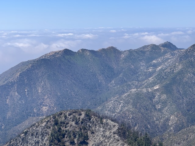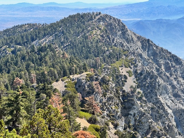
It is mid-May, and there has not been much rain, so the terrain is fairly dry. There is a waterfall nearby, but I am unsure if today will be the day, I return to it. I have hiked from Chantry Flat, once before. It is a beautiful area for hiking, in Santa Anita Canyon. It is a popular hiking destination, accessed by a winding road, with a 15 mph speed limit, from Sierra Madre, below. The area has been affected by wildfires, and recently re-opened after the Eaton Fire tore through, the same day Pacific Palisades burned. I began my hike from Chantry Flat to Mount Wilson along Upper Winter Creek Trail around 8:30 am. It would be a 9.5 hour day of hiking, with a 30 minute break, for a total of 10 hours. I hiked 15.7 miles through all types of terrain, to complete what many consider one of the most iconic hikes in the Angeles Forest.
Category: LA County Hikes
Mount Baldy Summit #7 on Mother’s Day Weekend
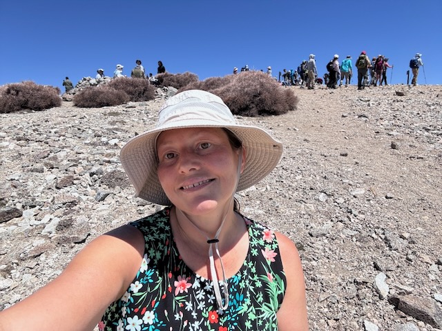
I was here for summit #7 of Mount Baldy. What a crowd on a Saturday on a holiday weekend. It was jam packed with cars at Manker Flats, so much I had to park a 1/4 mile down the road. I began hiking at 7:30 am, headed past beautiful San Antonio Falls, which was flowing at full blast, making a right on Baldy Road, and then a left soon after, up Baldy Bowl Trail. This would be my 2nd time to Mount Baldy aka Mount San Antonio (Elevation 10,064 ft) this year, and my 2nd May summit. I was here today with an awesome group of hikers, in honor of moms for a Mother's Day weekend hike, during one of the most crowded weekends to hike of the year. I was back at my car by 2:15 pm, and had made good time on this one, along with being grateful to make it back safely. My hike was 10 miles with 4200 foot of gain. Until next time Mount Baldy! Mount San Antonio is named for St. Anthony of Padua, whose birthday is August 15th. The Tongva tribe referred to the peak as Joat, which means snow. The mountain receives a lot of press, due to the extreme environment it becomes in winter, which now results in closures, after multiple fatalities of hikers in winter.
2 Peaks in a Day – Vedder Mtn and Mt Mooney
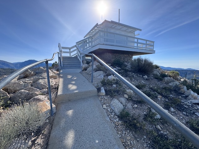
I have been to two other fire towers in socal, the one at Butler Peak, and the one at Tahquitz Peak. There are very few of these historic wooden fire towers left in existence. They are free to visit, if you can make the trek. Some are more accessible than others, and one of these is located on Vedder Mountain, just off SR-2 Angeles Crest Highway, and the Charleton Flats Trailhead. I was considering hiking to three peaks today: Mount Sally, Vedder Mountain, and Mount Mooney. Each of these involves a relatively short climb, so I thought why not combine them together, versus one long hike. Mount Sally was 2 miles, Vedder Mountain was 4 miles, and Mount Mooney was also 2 miles. Together it would be an 8 mile day, except plans changed a bit.
Hiking in the clouds to Mount Lukens
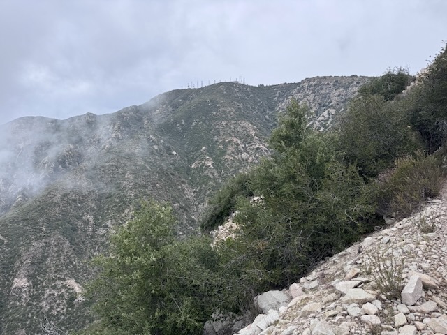
Mount Lukens is a popular hike, located within the LA Mountains, near Glendale. The trailhead has free parking, clean restrooms, and some historic stone buildings. I decided to hike up to Mount Lukens the same day in which a significant rain was to take place, that evening.. I planned to hike early to avoid the rain, and potential for flooding, mud or rock slides with it. I always plan to attempt foothill hikes such as this, climbing mountains 5000 feet or lower in elevation, from December to March, when temperatures are cool, prior to spring vegetation overgrowing the trails.
Ontario Peak in Winter
Hiking to Ontario Peak in December is unusual for me. I don’t typically hike to peaks above 7000 feet during the dead of winter. Not only can it be hazardous to hike when there is ice and snow, I don’t have a vehicle that does well on roads during these conditions in the mountains, so I don't go. It had been an unusual winter so far, with fall and spring coming simultaneously. The fall leaves were turning golden just as fresh spring grass was emerging in December. Now in January, the wildflowers were emerging, first in the desert, and now in the coastal foothills. Amid all this unseasonal weather, were a series of atmospheric rivers which had served to re-charge the reservoirs, ensuring a fresh supply of water for Southern Californians, causing rivers and waterfalls to flow abundantly, while simultaneously dusting the highest peaks of the LA mountains above 7000 feet in a generous blanket of snow.