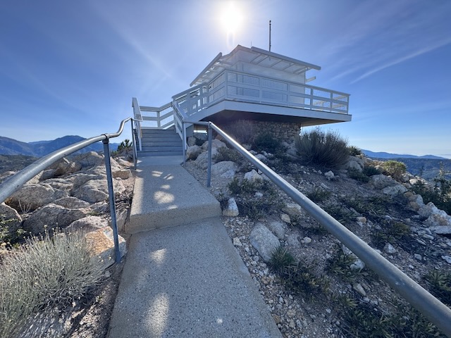
I have been to two other fire towers in socal, the one at Butler Peak, and the one at Tahquitz Peak. There are very few of these historic wooden fire towers left in existence. They are free to visit, if you can make the trek. Some are more accessible than others, and one of these is located on Vedder Mountain, just off SR-2 Angeles Crest Highway, and the Charleton Flats Trailhead.
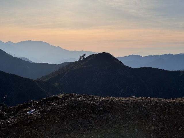
I was considering hiking to three peaks today: Mount Sally, Vedder Mountain, and Mount Mooney. Each of these involves a relatively short climb, so I thought why not combine them together, versus one long hike. Mount Sally was 2 miles, Vedder Mountain was 4 miles, and Mount Mooney was also 2 miles. Together it would be an 8 mile day, except plans changed a bit.
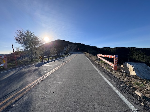
I arrived at Mount Sally, where it seemed the right area to park, on the opposite side of the road in a pull out. There are two short trails to this mountain. One is slightly longer than the other, the west approach. After negotiating whizzing motorcycles on SR-2 which came out of nowhere, I crossed the road.
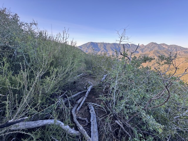
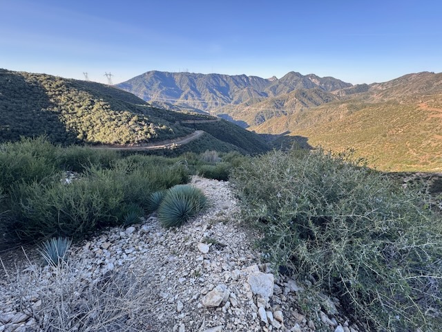
After climbing up about 50 feet, I acknowledged to myself that the trail on the west side of Mount Sally was very steep, not to mention overgrown. This was not a good plan. I had left my trekking poles back at the car. So I returned to where I parked, and decided to instead just head to head to Vedder Mountain, the main hike I planned to do that day. I could always add Mount Sally on later, and Mount Mooney. Driving past the east parking area, I decided that was the better idea after all.
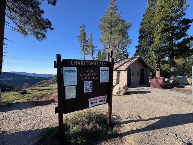
Vedder Mountain
I made it to Charleton Flats, where just two cars were parked at the trailhead. I began the hike around 8:30 am.
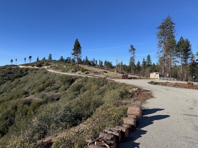
I headed up an uneventful paved road for the first 1/2 mile or so, which had me wondering if this hike was even worth completing. I love to hike, but I have had my share of times I regretted even going to a place at all. It is rare this actually happens, but it does happen. I continued, hopeful there was a trail out there. But something felt off about this one. There was nobody there, except for one person I passed, right near my car, who was heading back, who did not seem like a hiker at all, dressed in what looked like work clothes.
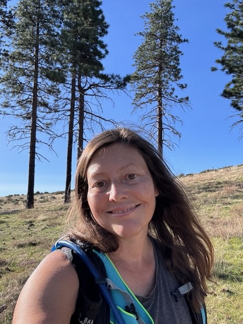
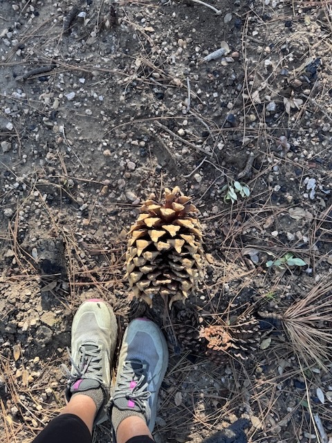
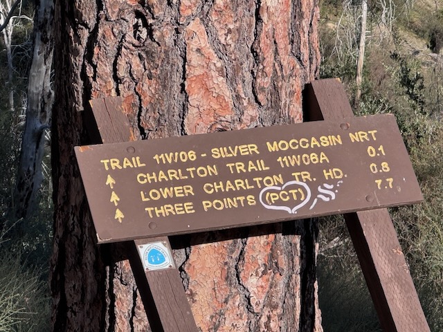
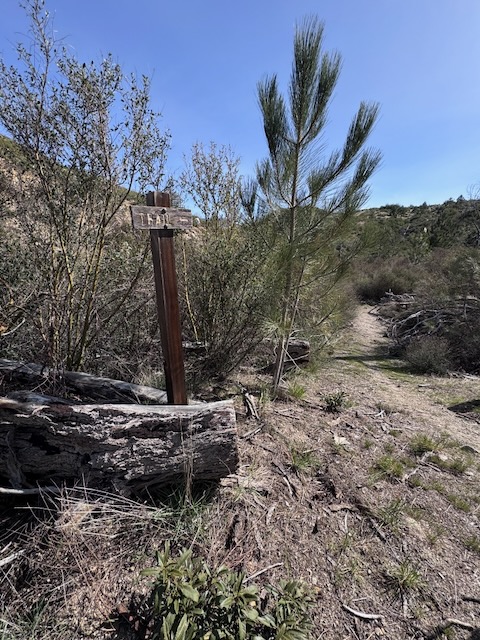
Observing the map, it seemed possible to hike alongside the trail on the grass. There were large cones everywhere. Finally I felt like I was in the wilderness again. After re-joining the trail along the road, I signage was leaning against the tree. This trail apparently needed some attention.
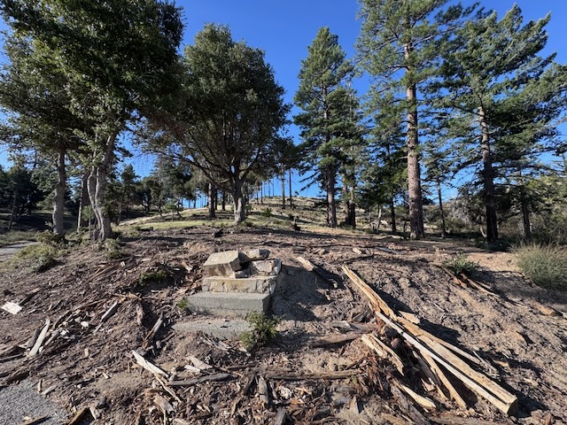
I passed the site of some sort a structure in the past, and all that remained were the stone steps.
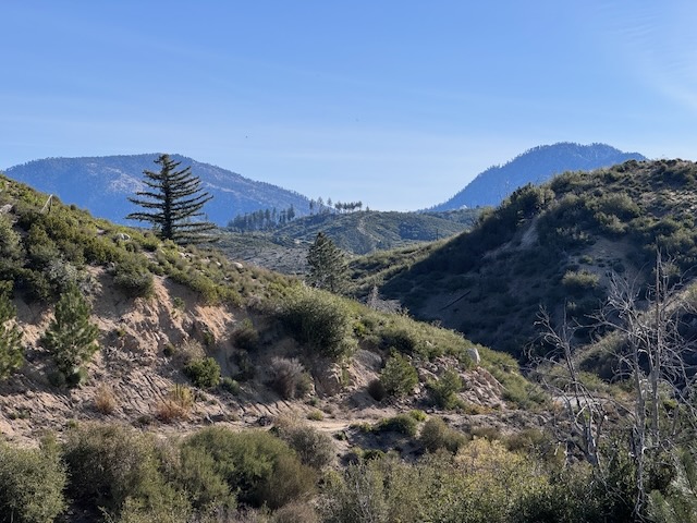
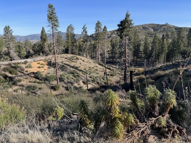
But the views were scenic beyond the poodledog bush, towards the trees and distant peaks.
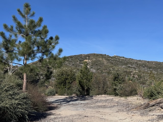
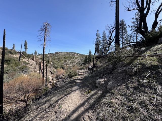
It continued to be a fire road for the first 40 minutes of the hike, I passed charred forest remains. This area had burned in the past, I was not sure when. It was a fire tower I was hiking to, still standing.
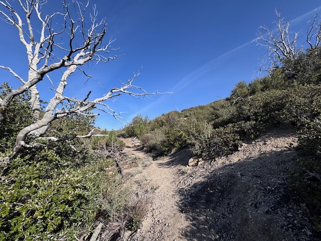
At about 1.2 miles I made a left onto an actual trail from the road. I noticed there was a little stream flowing along the trail to my right.
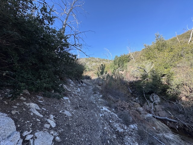
The trail in the section was relatively shaded around 9 AM.
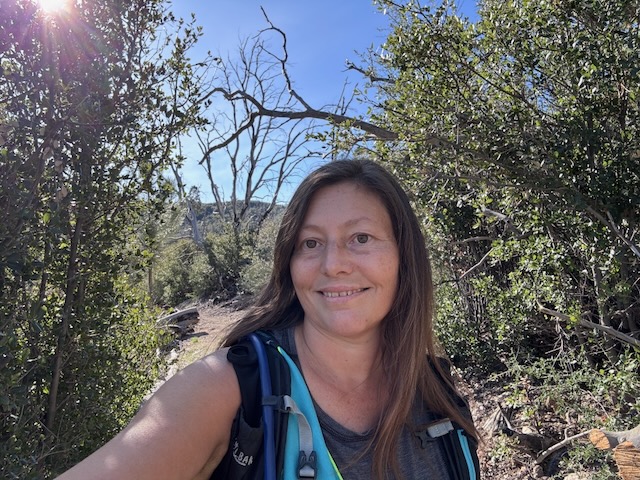
I would hear the babbling brook alongside me to the right and cross over several small streams on the way up which was very peaceful.
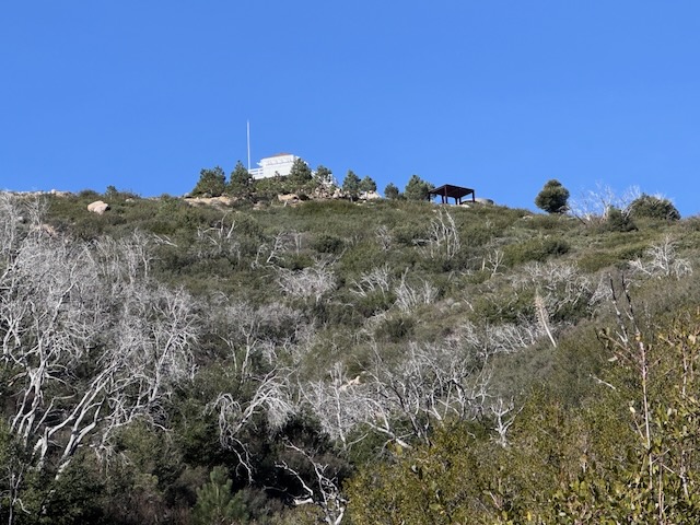
I could now see the fire tower off to my left in the distance.
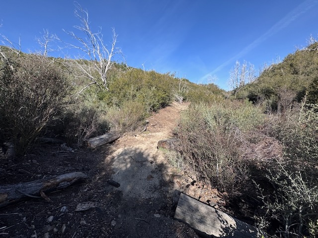
About 2 miles in, shortly after this relatively short and shaded climb, it grew sunnier. I continued hiking through a section thick with Manzanita. The stream began flowing to a trickle at this point.
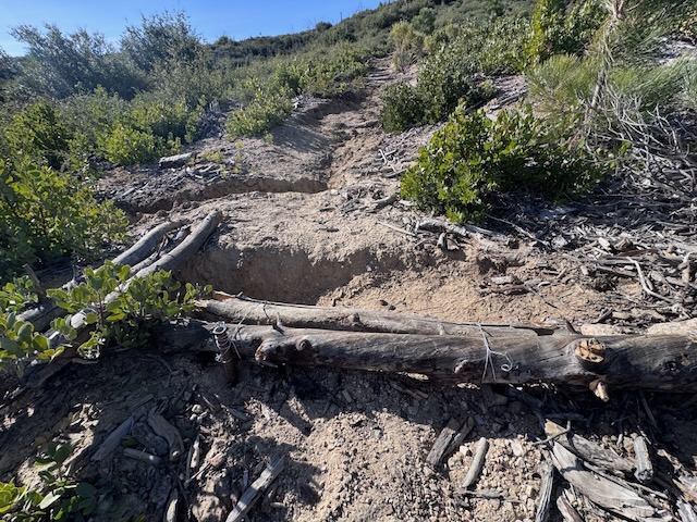
As I left the tree line on the approach to Vedder Mountain, I began what felt like stairs, set in the hillside, but were logs placed as erosion control.
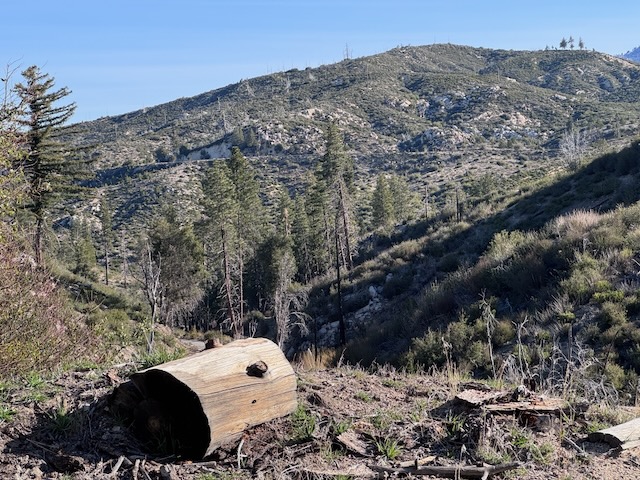
I could see Mount Mooney, the peak I planned to climb later on.
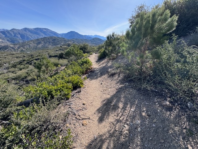
After a few switchbacks, I was now nearing the peak. Just as I reached the top of the ridge, I reflected on having seen no other hikers along the trail, and just two mountain bikers. I then noticed a woman standing there alone on the ridge, looking towards me. She called out, asking me if I knew the way back. As I hiked closer, I asked her if she had downloaded a map. She told me she did not have one. I was surprised that someone would go hiking without something like this in 2026. I switched gears, and offered for her to hike back with me if she wanted after I visited the fire tower.
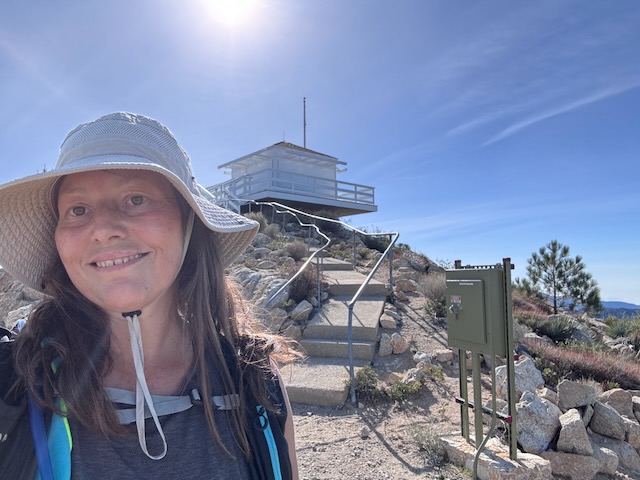
I had made it to Vetter Mountain, elevation 5850 ft!
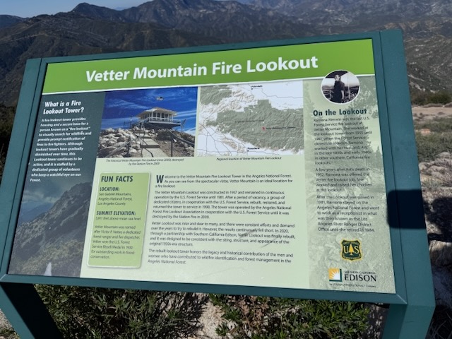
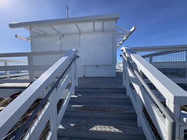
We continued to the fire tower, freshly painted, and well maintained. The area surrounding it was complete with interpretive signs.
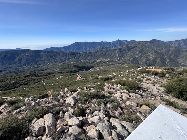
The views were stunning like most fire lookouts. I did not get to find the benchmark or a peak sign at Vedder Mountain, getting sidetracked by our conversation and the views, which I don’t mind.
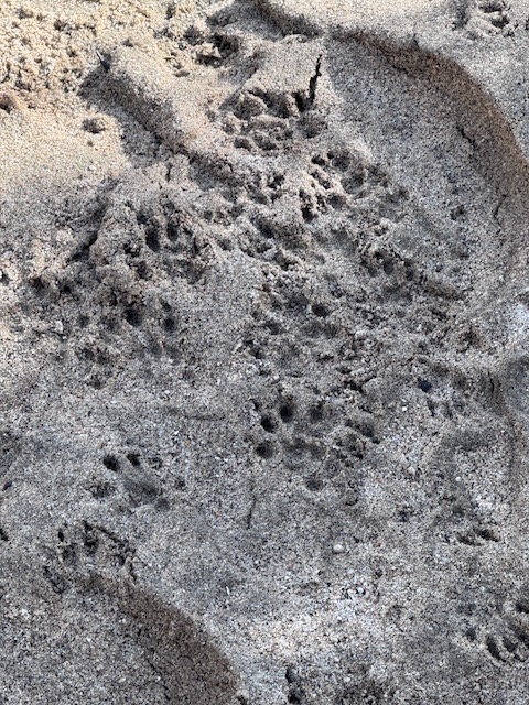
Afterwards, instead of hiking down the fire road to the right, in a loop, we continued back the way I came with my new hiker friend. I noticed some critter prints along the way, of what I would guess is a raccoon?
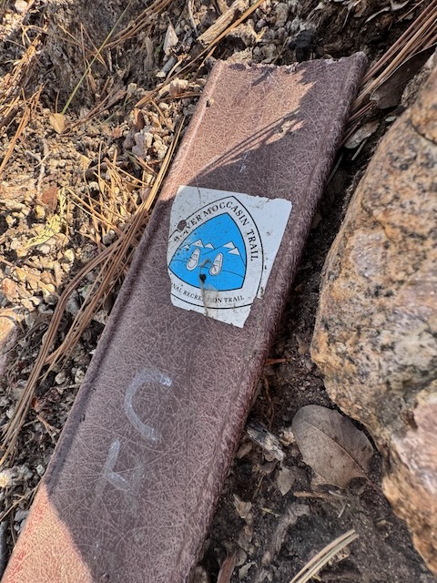
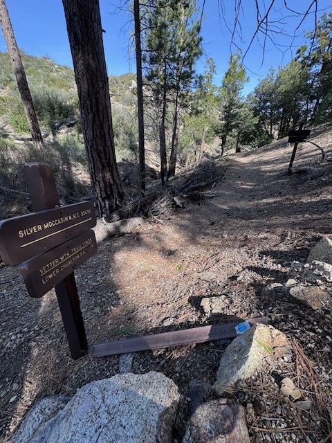
We ended up taking part of the Silver Moccasin, the more scenic route on the way back, before veering off onto a fire road again, which was more direct, bound for the parking area at Charlton Flats.
If you’re hiking here, bring a map, because even short adventures like this can have confusing twists and turns. This one was harder to follow than I thought it would be.
Mount Mooney
I asked my new friend if she wanted to join me for a short 2 mile climb up to Mount Mooney across the road. So we headed over to that peak as well.
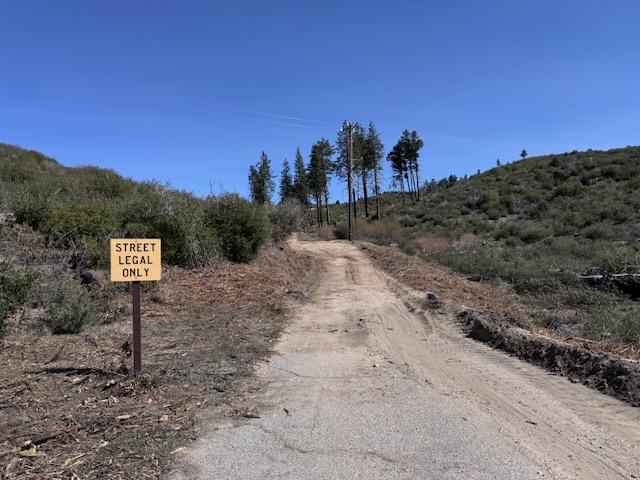
The trail began as a fire road for the first 1/2 mile.
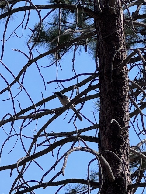
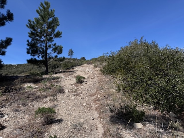
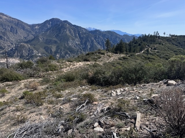
Then the trail branches to the left, and was a bit hard to follow.
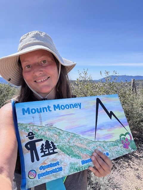
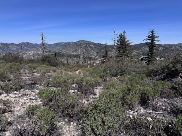
Mount Mooney Elevation 5778 ft! To my surprise there was an actual peak sign there.
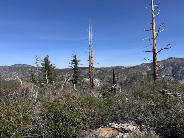
There was not much to see here on the summit, or anywhere to sit and take a break. It was now close to noon and getting kinda warm out.
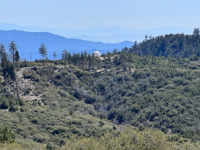
There was some sort of weather station across the way on the adjacent ridge.
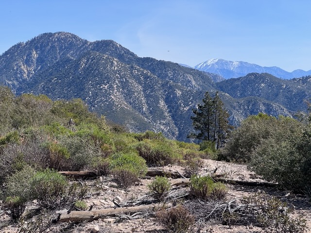
There was beauty all around, with views all the way to Mount Baldy, and what an attainable peak it was. At just 2 miles with only 500 feet of gain, Mount Mooney makes for a short hike off Angeles Crest SR-2, with a view. If that’s what your looking for, it may be one to consider.
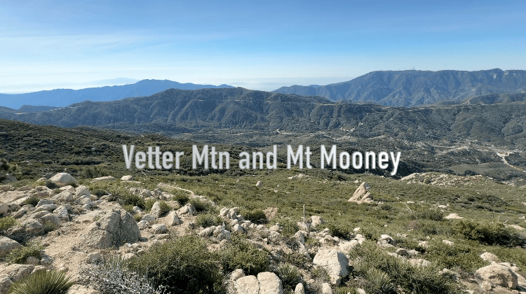
You can also watch this video, documenting my adventure here on my youtube channel. Please like and subscribe!
Conclusion
I would say the highlight of the day was not just getting to check out a cool vintage fire lookout, but finding friendship. Sometimes you don’t just explore a new trail, but make a new friend. Of all the things we search for in the world, sometimes we find that thing in community and friendships. When you’re not on the lookout for something, penciling in every minute of your day, just letting things flow, good and great things just kinda happen, when you least expect them to. That’s why I trust God to guide me through, and navigate the unexpected twists and turns of life. I know he has a plan, and I don’t always have to know what it is, as he can guide my steps better than I can.
I hope you enjoyed reading this, and it is helpful in knowing what to expect, should you decide to visit here.
The Essentials
Just be sure to come prepared, bring the 10 essentials, and Pack Out Your Trash to keep the wilderness pristine for future hikers.
About me
I’m Serafina! I’m a writer and California girl who loves to go exploring. Hope you will get outside today, breathe some fresh air, and be happy!
Like and Subscribe to my Channel!
Follow my Journey @serafinabenjamin
Follow along on My Youtube Channel where I post videos!
Disclaimer:
The work on this blog is my opinion and my opinion alone and I am not responsible for the outcome if someone were to apply these thoughts to their own life. All text and photography copyright 2026 by Serafina, all rights reserved. Information and opinions provided are kept current to the best of the author’s ability. All readers’ usage of the ideas and opinions presented in the blog, are at their own risk. Be aware of the possible dangers of hiking, surfing, walking, cooking, and other activities, which may take place indoors or outdoors. By reading this, you agree not to hold the author or publisher of the content on this web site responsible for any injuries or inconveniences that may result from reading the blog, or partaking in any activity mentioned in the blog. Read the blog, and use its ideas, if you so desire, at your own risk.


