A forgotten desert peak

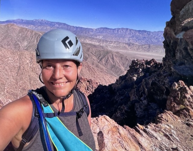
Indianhead Peak is a desert peak in every sense of the word. It is a place you go to get away from it all, going off the beaten path, and hopefully not get lost in the process. Lost and forgotten, are themes that re-occur throughout this adventure. What is lost is found. All is not lost. Most importantly, all make it back to the trailhead. There is a reason few people hike to Indianhead Peak. There is not actually even a trail. That is the first part of the story...of 8.4 miles with 3700 feet of gain, with 2700 feet of the gain, over the course of a mile. This one is steep in every sense imaginable.
Hiking in the clouds to Mount Lukens

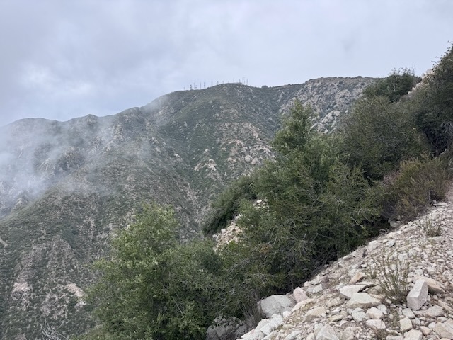
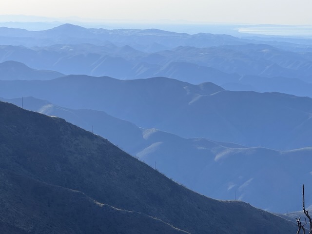
Mount Lukens is a popular hike, located within the LA Mountains, near Glendale. The trailhead has free parking, clean restrooms, and some historic stone buildings. I decided to hike up to Mount Lukens the same day in which a significant rain was to take place, that evening.. I planned to hike early to avoid the rain, and potential for flooding, mud or rock slides with it. I always plan to attempt foothill hikes such as this, climbing mountains 5000 feet or lower in elevation, from December to March, when temperatures are cool, prior to spring vegetation overgrowing the trails.

The Highest 2 Peaks in Orange County CA

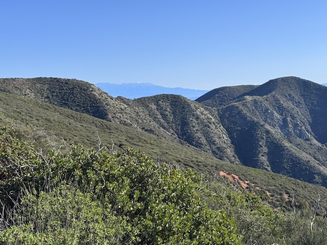
This hike was a long time coming, a small goal I had in a big universe. Originally I wanted to hike the Holy Jim trail (14 miles), but it's been closed because of the Airport Fire. This is the highest peak in Orange County where I live. The traditional way to get there is the Holy Jim Trail, which seems like it has been closed for most of the last 10 years, due to weather, and fires. It is opening this year, supposedly. But I have wanted to complete this peak, for so long, I decided now was the time. I was prepared to hike 24 miles if need be. But as events began to unfold it would prove to be a much shorter adventure than I had anticipated.

2 Peaks in a Day: Bedford and Bald Peak

The trailhead to Bedford Peak is located by the Maple Springs Visitors Center, along Maple Springs Rd., an OHV road which leads you from Silverado Canyon, up toward North Main Divide Rd. in the Santa Ana Mountains. I arrived at Maple Springs around 7 am, finding the gate was open so we were able to drive up the road  about 1/2 mile to park by the trailhead. Had there been recent rain, the gate would have been closed to traffic for 48 hours. There are only about 6 parking spots at the trailhead in front of the gate. I was greeted by a bright yellow sunflower, likely sprouted from a stray sunflower seed. Birds drop seeds from feeders, and are the reason you may see non-natives sprouting along the trail. The first mile or so of trail are made up of two long switchbacks through a canyon, dotted in sycamore trees, scattered in early spring wildflowers, shrubs and vines.