Mount Wilson from Chantry Flat in May

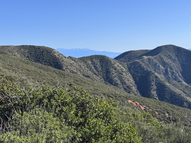
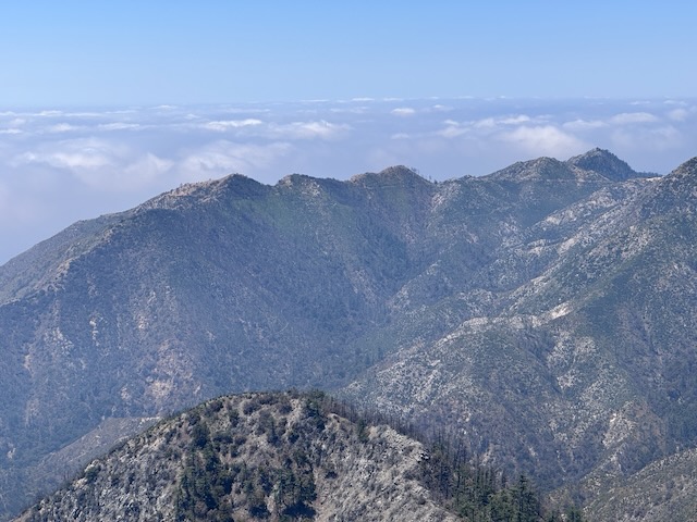
It is mid-May, and there has not been much rain, so the terrain is fairly dry. There is a waterfall nearby, but I am unsure if today will be the day, I return to it. I have hiked from Chantry Flat, once before. It is a beautiful area for hiking, in Santa Anita Canyon. It is a popular hiking destination, accessed by a winding road, with a 15 mph speed limit, from Sierra Madre, below. The area has been affected by wildfires, and recently re-opened after the Eaton Fire tore through, the same day Pacific Palisades burned. I began my hike from Chantry Flat to Mount Wilson along Upper Winter Creek Trail around 8:30 am. It would be a 9.5 hour day of hiking, with a 30 minute break, for a total of 10 hours. I hiked 15.7 miles through all types of terrain, to complete what many consider one of the most iconic hikes in the Angeles Forest.
Hiking a Superbloom: Antelope Valley Poppy Reserve

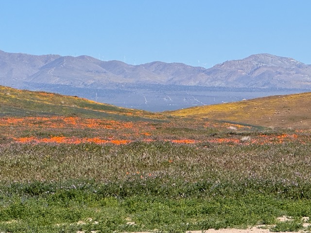
The poppy fields near Lancaster, California, are a place that I've wanted to visit for sometime. They are open from dawn until dusk and there are several hundred acres to explore. Some parts of the reserve are accessible by OHV, along unpaved sandy roads. The best parts of the park are supposed to be down these roads. It was a 3 hour drive to get here, and I left just before sunrise. There are plenty of places you can see poppies in the socal, but the Antelope Valley Poppy Reserve is known to be one of the best. It is situated north of Los Angeles, near Palmdale and Lancaster. It's a beautiful desert area, but not a place most people think of as a getaway, except during the superbloom.

Coyote Peak in Anza Borrego

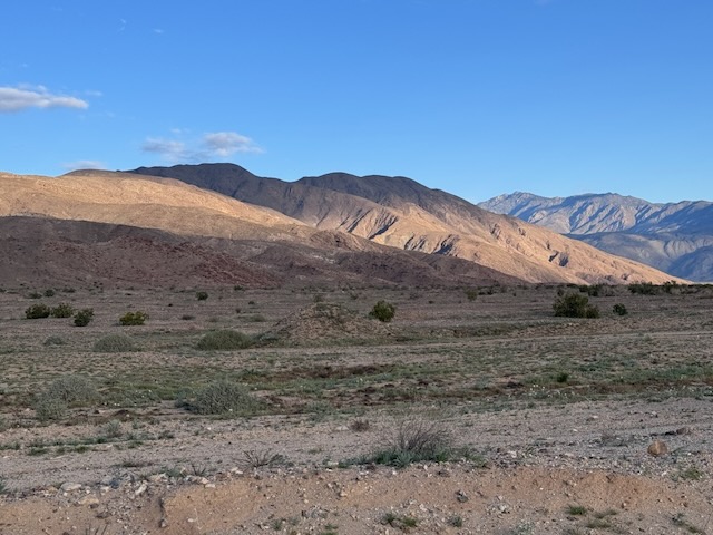
I drove into Borrego Springs and I made a right through the center of town. I drove around the traffic circle and noticed a farmers market. From here, I drove straight out into what feels like the middle of nowhere. Rego Springs that's one of those places where you feel like you're getting away from it all every sense of the word. Very few stores, homes, or anything here, yet it still hangs on somehow I personally like this little town a lot. I continued onto Sultan seaway. I could see the coyote peak off in the distance illuminated by the morning sun. I wasn't expecting to see an actual coyote, driving up the road to Coyote Canyon. I headed up Rockhouse Canyon Rd. and parked in what looked like a small turnaround, next to a bush. It would be a 6.2 mile hike to Coyote Peak, and there was no trail.

2 Peaks in a Day: Bedford and Bald Peak

The trailhead to Bedford Peak is located by the Maple Springs Visitors Center, along Maple Springs Rd., an OHV road which leads you from Silverado Canyon, up toward North Main Divide Rd. in the Santa Ana Mountains. I arrived at Maple Springs around 7 am, finding the gate was open so we were able to drive up the road  about 1/2 mile to park by the trailhead. Had there been recent rain, the gate would have been closed to traffic for 48 hours. There are only about 6 parking spots at the trailhead in front of the gate. I was greeted by a bright yellow sunflower, likely sprouted from a stray sunflower seed. Birds drop seeds from feeders, and are the reason you may see non-natives sprouting along the trail. The first mile or so of trail are made up of two long switchbacks through a canyon, dotted in sycamore trees, scattered in early spring wildflowers, shrubs and vines.

Hiking to Lake One, Two and Three in Big Pine Lakes (10 miles)

After more climbing I found myself hiking alongside a series of cascading waterfalls once again. The fast flowing water was beautiful, but I knew not to get too close. You would not want to fall in here. I was now standing just above the first of many towering waterfalls along this trail. I was finally entering the John Muir Wilderness once again! The scene kept changing and transforming. I was now surrounded by an enchanted forest. I reached my first milestone of the hike, the Lon Chaney cabin. The scene kept changing from towering forests to mountain vistas of wildflowers and granite.