Etiwanda On My Mind

I was starting early today at 5 am, not just because I love hiking when it is nice and cool out. This hike would be a haul, taking at least 9 hours to complete. I was unsure how long I would actually be out there. I just wanted to make it there and back before dark. Upon arrival, the parking area was not full at all. There was nobody there, getting ready or leaving, just silence, at 4:50 am. I took about 15 minutes in my car, checking and double checking I had everything, before exiting my car. I had morning brain, and went back again for my trekking pole. I thought I was missing my headlamp, but soon found it. So now I had two. Oh well, two is better than one I thought, knowing two times back to the car was enough. It has been unbearably hot and humid this past month in Southern California. The heat this whole past month of August has felt inescapable, except for early morning, and at dusk. I was feeling good about this early start, and hoped to make good time, to beat the heat. Even with the forecast set at 72 degrees, it can still feel much warmer in places like this.

Trail Peak and Cottonwood Pass – 15 miles in the wilderness

I hiked 15 miles to Trail Peak and along the Cottonwood Pass Loop from the Cottonwood Pack Station (Horseshoe Meadows).  I had been wanting to explore more of this wilderness for sometime. All year long I think about summer in the sierra, and visiting places like this. The Golden Trout Wilderness is located in the southern sierra, and is a pristine wilderness, filled with rocky granite peaks, such as Mount Langley, Cirque Peak, and my destination for the day, Trail Peak. The way to Trail Peak, included a climb up Trail Pass, and hiking on the PCT. I passed several PCT hikers, and JMT hikers here. The marked trail to this peak on Alltrails maps is not a trail at all. After leaving the PCT, making the approach to trail peak, the choice is yours since it is entirely off trail to the peak.  This hike was very steep and  included class 2 scrambling, along with lots of boulder hopping, where you get to choose your own adventure.

Mount Baldy Summit #7 on Mother’s Day Weekend

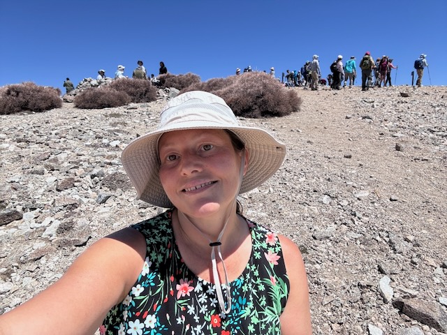
I was here for summit #7 of Mount Baldy. What a crowd on a Saturday on a holiday weekend. It was jam packed with cars at Manker Flats, so much I had to park a 1/4 mile down the road. I began hiking at 7:30 am, headed past beautiful San Antonio Falls, which was flowing at full blast, making a right on Baldy Road, and then a left soon after, up Baldy Bowl Trail. This would be my 2nd time to Mount Baldy aka Mount San Antonio (Elevation 10,064 ft) this year, and my 2nd May summit. I was here today with an awesome group of hikers, in honor of moms for a Mother's Day weekend hike, during one of the most crowded weekends to hike of the year. I was back at my car by 2:15 pm, and had made good time on this one, along with being grateful to make it back safely. My hike was 10 miles with 4200 foot of gain. Until next time Mount Baldy! Mount San Antonio is named for St. Anthony of Padua, whose birthday is August 15th. The Tongva tribe referred to the peak as Joat, which means snow. The mountain receives a lot of press, due to the extreme environment it becomes in winter, which now results in closures, after multiple fatalities of hikers in winter.

Mount Baldy via the Backbone Trail – Summit #5

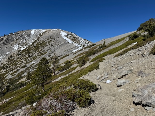
This would be Mount Baldy summit #5. It was a cool fall morning in the Cucamonga Wilderness in October as I began my hike to Mount Baldy from Manker Flats around 7:30 am. It was just below 50 degrees out and the weather was perfect. I had no planned eta on this one. However long it takes. However many breaks. If I needed to turn back I would. I was trying to be realistic, and not push too hard on this one. I began heading up Baldy Rd. towards the notch, since today I planned on summiting Mt Baldy via the Devil’s Backbone Trail. It had recently snowed here a week ago, and I had a feeling the snow had melted off along the trail just enough in the past few days, with the warmer drier conditions, to make the backbone trail safe and passable. I brought micro-spikes and a trekking pole for stability on small patches or snow or ice.

Waterman Mountain Loop

My goal for today’s hike was to explore the Waterman Mountain loop, that sits within a scenic wilderness area of the San Gabriel Mountains. The trailhead sits along SR-2, the Angeles Crest Highway, and is a bit out of the way. It is well past Chilao Campground, and Mount Williamson, along with most of civilization. The highway had been closed for repairs for sometime, which made visiting here again exciting.