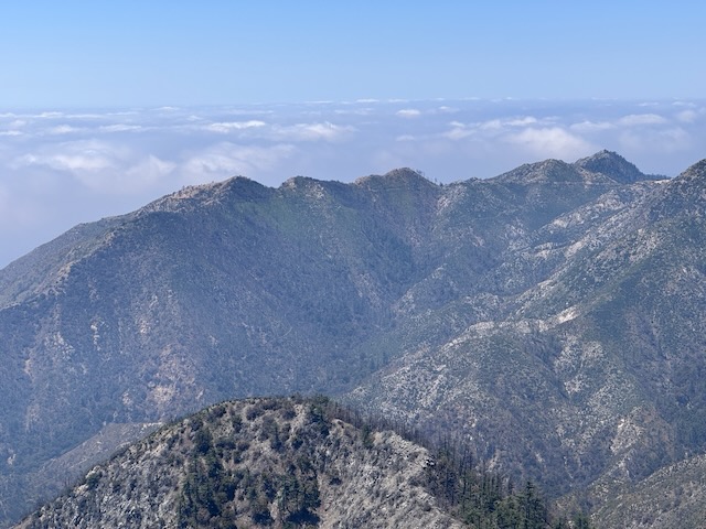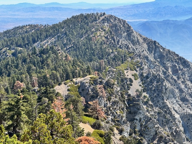
It is mid-May, and there has not been much rain, so the terrain is fairly dry. There is a waterfall nearby, but I am unsure if today will be the day, I return to it. I have hiked from Chantry Flat, once before. It is a beautiful area for hiking, in Santa Anita Canyon. It is a popular hiking destination, accessed by a winding road, with a 15 mph speed limit, from Sierra Madre, below. The area has been affected by wildfires, and recently re-opened after the Eaton Fire tore through, the same day Pacific Palisades burned. I began my hike from Chantry Flat to Mount Wilson along Upper Winter Creek Trail around 8:30 am. It would be a 9.5 hour day of hiking, with a 30 minute break, for a total of 10 hours. I hiked 15.7 miles through all types of terrain, to complete what many consider one of the most iconic hikes in the Angeles Forest.
Tag: Hiking
Mount Baldy Summit #7 on Mother’s Day Weekend
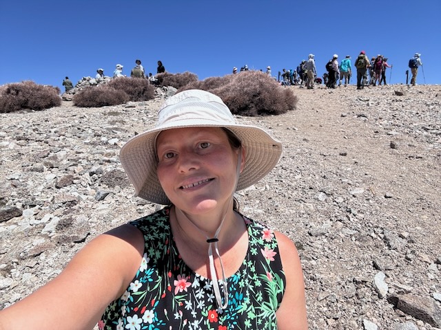
I was here for summit #7 of Mount Baldy. What a crowd on a Saturday on a holiday weekend. It was jam packed with cars at Manker Flats, so much I had to park a 1/4 mile down the road. I began hiking at 7:30 am, headed past beautiful San Antonio Falls, which was flowing at full blast, making a right on Baldy Road, and then a left soon after, up Baldy Bowl Trail. This would be my 2nd time to Mount Baldy aka Mount San Antonio (Elevation 10,064 ft) this year, and my 2nd May summit. I was here today with an awesome group of hikers, in honor of moms for a Mother's Day weekend hike, during one of the most crowded weekends to hike of the year. I was back at my car by 2:15 pm, and had made good time on this one, along with being grateful to make it back safely. My hike was 10 miles with 4200 foot of gain. Until next time Mount Baldy! Mount San Antonio is named for St. Anthony of Padua, whose birthday is August 15th. The Tongva tribe referred to the peak as Joat, which means snow. The mountain receives a lot of press, due to the extreme environment it becomes in winter, which now results in closures, after multiple fatalities of hikers in winter.
4 Peaks in One Day: Cowles Mountain, Kwaypaay Peak, North and South Fortuna Mountain
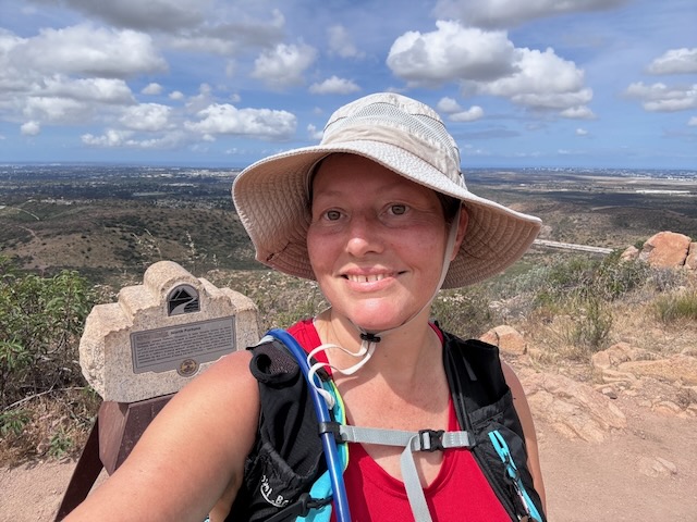
A Mission Trails 4 Peak Challenge : Cowles Mountain, Kwaypaay, South Fortuna and North Fortuna I would be hiking through Mission Trail Regional Park, to four peaks in one day. This expansive park is actually one of the largest in the entire country. It is over 8000 acres and the area has history going back over 10,000 years. This park is the site of an old dam, and granite was mined here. What is left of the old dam still stands today. There are 60 miles of trails, a lake, a campground, and a nature center here. I awoke at 3:30 am, which is much earlier than I usually ever get up to hike. It was just way too early for me, and most people. But I was not hiking with "most people," today, and that is ok. Despite all this, I knew it was on. I was barely awake, having only slept a few hours. I have climbed Cowles Mountain twice before, once from this trailhead and once from Big Rock Park, the longer way. I have climbed North and South Fortuna once before. I was on the trail by 5:15 am in the pitch black darkness, before first light. My hike would be 12.5 miles with 3400 foot of gain to the 4 peaks.
Road Trip: Part 2 – Montana Del Oro and Morro Bay
I am on a road trip heading north up the Central Coast to Pinnacles National Park. It is March and springtime, so the hills are green an lush. I am traveling through Santa Barbara county, through Santa Maria on to Morro Bay State Park, where I plan to camp. I arrived at Montana Del Oro, just south of Morro Bay, with its cinder cone island floating there in the waves. I parked by the Bluffs Trail, just south of the Spooner’s Cove and the Islay Campground, where the lighthouse keepers house sits. I zig zagged among the bluff coves, noticing sea birds, crashing waves, along with unique exposed ancient rock reefs and sea stacks. It was flat, easy to navigate, and had many offshoots, leading to various viewpoints. It was just the relaxing break I was looking for after a day of almost 5 hours of driving.
Road Trip: Part 1 – Cathedral Peak Trail and Seven Falls on my way to Pinnacles NP
The plan was traveling up the coast and to add in a hike or two on my way up to Pinnacles National Park about 6 hrs drive from my home. I decided I would stop in Santa Barbara for my first hike of the trip. After 4 hours of driving through some fun traffic in LA and Oxnard, I finally arrived at the Inspiration Point trailhead. I had not hiked any of these trails and there are several here. I made my way up the road, about 1/4 mile from where I had to park, toward the Inspiration Point Trailhead. It would be a late start as I needed to park .25 mile from the trailhead, along a pullout on the road. After hiking for about 15 minutes, the sun began to come out, warming things up fast as the craggy pinnacles and Cathedral Peak emerged off in the distance.