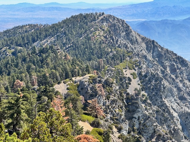
The night before I had briefly considered going hiking the following day, since it was set to only have a high of 72 degrees. We had a heat wave the last few weeks of August, and long hikes were the last thing on my mind. I thought of Etiwanda Peak, and put that thought aside. How would I do that? My longest hike all month was 6-8 miles with little gain. My last few weeks included only a handful of hikes consisting of 1.5 to 3 miles. Maybe I could hike to Mount Baden Powell? Maybe I just don’t worry about it. I went to bed.
At 2 am, I found myself awake for some reason, and the wheels got to turning. Maybe I will hike to a peak? It began to click in my mind, that since I was up so early and had gone to bed early, I could drive to the mountains for an early start, getting to the trail before 5 am. I was feeling fairly optimistic and good about heading to Icehouse Canyon, where I could potentially hike to Etiwanda Peak, if I did not lose strength and feel a need to turn back, which I was ok with. Even the saddle would be nice. I was ready, and left around 3:00 am, ecstatic that it was actually happening.
It had been a month since I went to a peak, hiking to Trail Peak, in the Sierra, where I ended up very unwell with altitude sickness, after being at altitude less than 24 hours. It took exactly 12 hours to start to feel unwell, and by 14 hours, even worse, and by the time I left Cottonwood Lakes, I had been above 10K feet for about 19 hours. It took me about 12 hours to feel better again, resting in Ridgecrest. What a crazy day. I had to give up my Whitney permit because of it.
Optimism
I was feeling highly motivated about this hike to Etiwanda, since it felt like it was a long time coming, and a bucket list hike of mine (all the peaks of the San Gabriels). I have a goal to reach all the Sierra Club Hundred Peaks and at very least all the main peaks of the San Gabriels. Realistically, I probably may not reach them all, since some are not easy to get to, are on private land, or have no actual trail. But there is always a chance to hike to a hundred peaks, and the majority of the main socal peaks, so that is my goal.
Etiwanda Peak is just past Cucamonga Peak, via Icehouse Canyon Trail. When I first hiked this trail past Icehouse Saddle onto Cucamonga, back in 2021, I remembered it was an incredibly challenging climb the first time around. Part of the reason I had not gone back to Cucamonga until now, was in part that I had other places to go, and I am not in the mountains every day (though that sounds good to me), and also that it was kinda tough, along with a long one, in terms of hours to complete. Mount Baldy is not even as long as this one. I would place Ontario Peak somewhere in the middle.
Long hikes are not something I shy away from, but I tend to only take them at certain times, when I have the time, and am in condition as well. If hiking were my number one priority and I had no other responsibilities, I would have likely done Cucamonga many times over, along with Etiwanda. So in a sense this day was a bucket list hike for me, kinda like any of the high peaks in Socal like San Gorgonio. I have been to San Gorgonio 3 times, Mount Baldy 7 times, and San Jacinto twice.
An Early Start
I was starting early today, and not just because I love hiking when it is nice and cool out. This hike would be a haul, taking at least 9 hours to complete. I was unsure how long I would actually be out there. I just wanted to make it there and back before dark.
4:50 am
Upon arrival, the parking area was not full at all. There was nobody there, getting ready or leaving, just silence, at 4:50 am. I took about 15 minutes in my car, checking and double checking I had everything, before exiting my car. I had morning brain, and went back again for my trekking pole. I thought I was missing my headlamp, but soon found it. So now I had two. Oh well, two is better than one I thought, knowing two times back to the car was enough.
At 5:10 am I began my hike. As I walked through the dark canyon it felt like I was all nerves. I had never been in Icehouse Canyon, alone waking in the dark in the morning when there is nobody there. Usually there are zillions of hikers here just past 5 am. The canyon is a spooky place on its own, let alone in the dark. I have started many hikes in the dark, and don’t remember feeling as on guard as on this particular morning. I have returned from a hike in the dark before, but this was the first time I felt truly alone in Icehouse Canyon, so I had to get past that.
By 5:55 am the first bit of blue began to line the hilltops above, as I passed the Chapman Trail. After an hour hiking, the canyon began to be visible just before sunrise. I still had not seen a soul out there, or heard noise of any kind. It was an eerie quiet except for the flow of the stream. I enjoy peace and quiet though so I just went with it. I was filled with gratitude as the morning light steadily increased throughout the canyon and I could turn off my headlamp. It was nice and cool out. It has been unbearably hot and humid this past month in Southern California. The heat this whole past month of August has felt inescapable, except for early morning, and at dusk. I was feeling good about this early start, and hoped to make good time, to beat the heat. Even with the forecast set at 72 degrees, it can still feel much warmer in places like this. By 6:20 am I had made it to the foot of the switchbacks and the Cucamonga Wilderness sign.
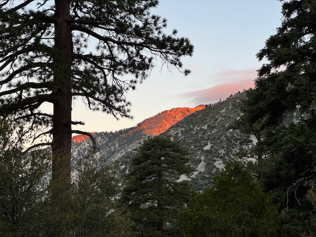
By about 6:25, I was closing in on the first of the Icehouse Canyon switchbacks, just as the official sunrise commenced. I was once again in awe of that alpen glow.

I enjoyed the next 20-30 minutes hiking up the switchbacks, as the light painted the canyon in many different ways. I stopped every so often to reflect on what I was seeing, the backlit pine trees, the misty clouds hovering around Mount Baldy, and the intricate spires of it, which I could still make out, from so far away. It all felt new to me. It was a new day. I had seen it before. But I was seeing it all with new eyes. Learning to see if a process we go through in our lives, and it feels like just as our eyesight begins to fail, our true vision of how we see the world, miraculously becomes crystal clear. Seeing what we see, and seeing truth are different things
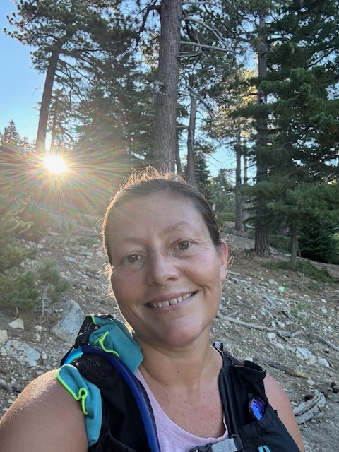
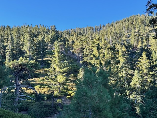
As an artist, you can paint the same tree, flower, or landscape a hundred different ways. That’s what the light does. It changes our view and our perceptions. Last year I began drawing and painting again, adding to my other love, photography.
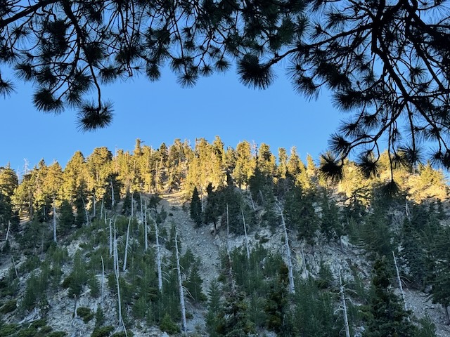
I still had a mile and a half to go to the saddle. It was a beautiful morning as the sun peeked over the ridge. The light continued to impress me, and I tried to capture the moment.
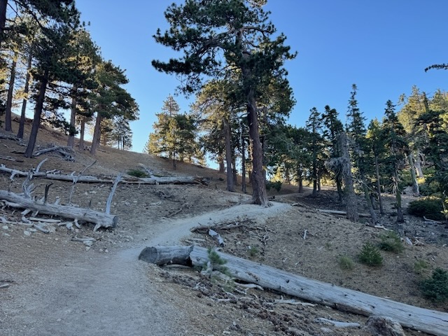
By 7:45 am I arrived at Icehouse Saddle, which was also deserted. This was truly a rare morning, since I cannot recall another time when I had Icehouse Canyon all to myself. What a blessing that is, and I was grateful.
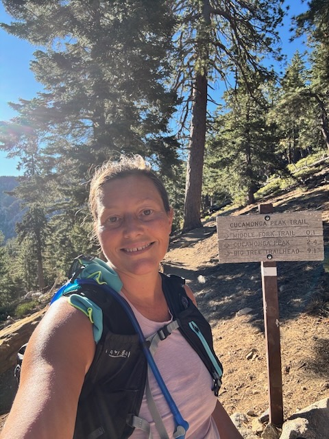
Without hesitation or a break of any kind, I headed straight towards the trail to Cucamonga. I felt great at this point and was not tired at all. Every other time I have been to Icehouse Saddle, there was debating of where to go, to which peak, and in recent years, if I should go at all, etc. Not today. There was no hesitation and I was Etiwanda bound. It had all been decided.
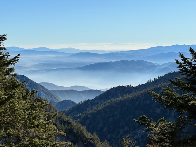
The view was of blue mountain majesties in the distance.
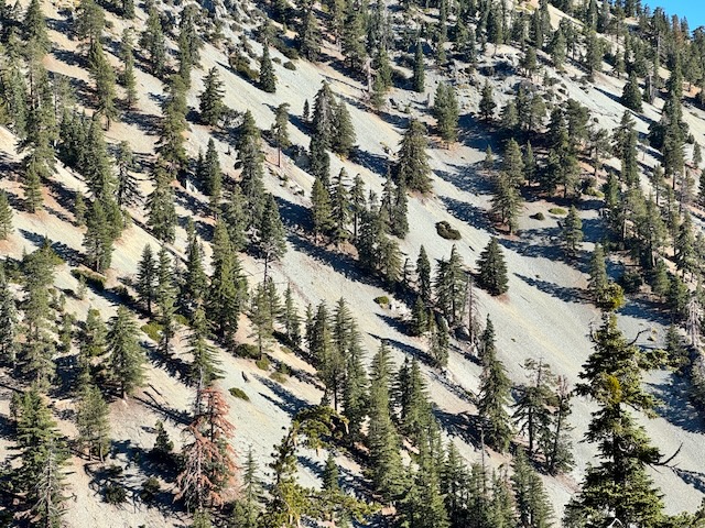
Despite the beautiful views along the trail, it was all coming back to me, of how steep the hillsides along this trail are.
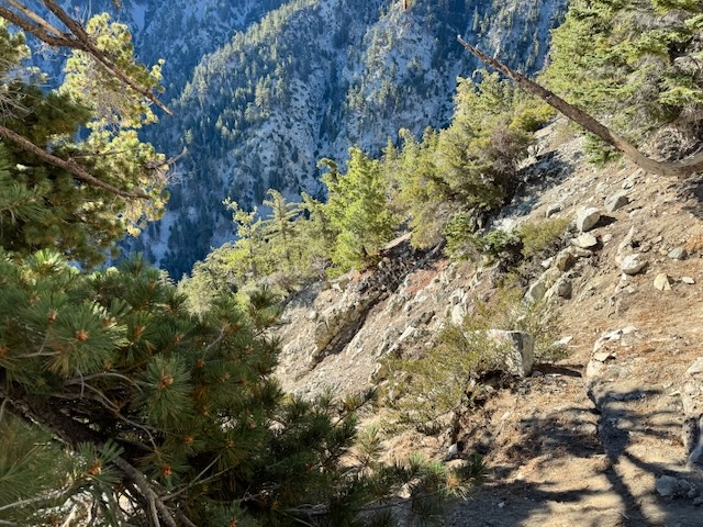
Getting Pitched
One wrong step and I would be going down a ravine. This trail is serious, much more so than the switchbacks of Icehouse Canyon (which have a few steep spots too). The pitch along this trail is extreme and if you fall, you might need a rescue, or could get badly injured. Keep this in mind if you’re a wobbly, clumsy or unstable hiker, prone to falling. All it takes is one trip or slip.
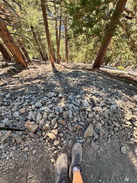
Finding Stability
Today I was not actually feeling stable. I was not in peak condition and I felt it. My center of gravity was not rock solid. I am a surfer, but have not been out much lately. Surfers use their center of gravity to stay stable on a board. I also practice yoga, but again, I am out of practice. Having a good center of gravity can help you as a hiker, but today I was not feeling it.
Hold on for Dear Life
I grabbed on to anything I could in certain spots, a tree branch, a root or a rock. The last thing I wanted was to fall along this trail. I wobbled this way and that many times. I had to really focus, to tell my knees to stay bent a little, so I did not stumble off the trail somehow, trip or slip. This was not the place or the time for this. Eventually I did pass a small group headed back, and this was the first indication that there were actually people out there. Those cars in the lot were of hikers who started earlier than me, and perhaps watched the sunrise atop Cucamonga.
Losing Some Gain
As I continued, I lost some gain as the trail traveled downward for a ways, by several hundred feet. This is actually what makes this hike the most challenging, the uphill on the way back. Generally I avoid hikes with some added uphill on the way back. Reason being, you can get stuck, if you lose steam, and literally be between a rock and a hard place. Imagine it is 2 pm and you can’t go on, so here you are in this exposed rocky section getting baked in the sun. There is no water here and nowhere to go but up. That is why an early start is so crucial for Cucamonga Peak. Up to a peak and down to the car, is definitely more predictable, since if you made it to the peak, you can probably make it back down, with all the momentum and forces of gravity working for you. An exception would be exceptionally long hikes, like Mount San Gorgonio. Please don’t underestimate that one. The last 4 miles felt like an eternity for me.
Note: There are a few hikes I can mention like this, where you hike up on the way back – Cedar Creek Falls, Sturtevant Falls, and Twin Peaks (which I plan to do). The latter two require good planning to avoid a brutal, hot and sunny climb. There are plenty of others as well, the most famous of course is the Grand Canyon, which has claimed many lives, of hikers who could not make it back up in the hot baking sun.
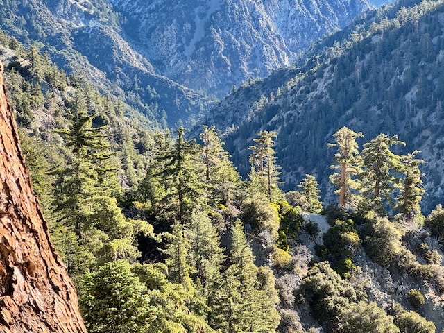
By 8 am I passed a cave, the remnants of an old mine, with discarded steel cables strewn about. Off in the distance to my left was the Lytle Creek drainage. There is a trail down there referred to as Third Stream Crossing, which during certain times of the year, would be flowing with waterfalls. I have wanted to check out, but you need a high clearance vehicle to get there, which I don’t have.
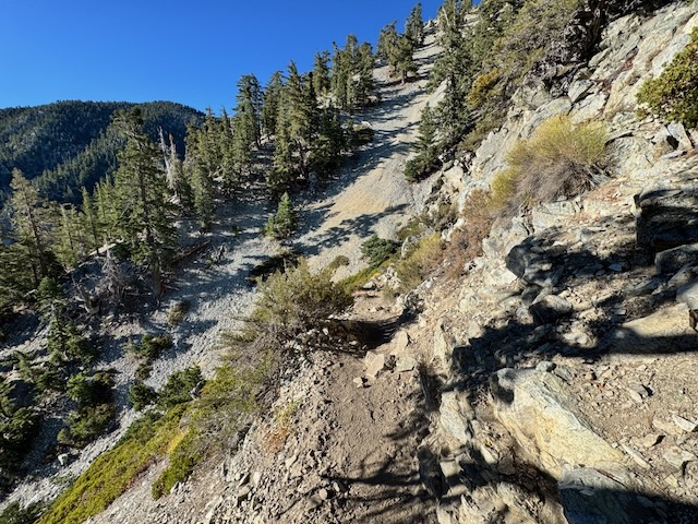
The trail remained steep as I hiked along the skinny rocky trail cut into the cliffs.
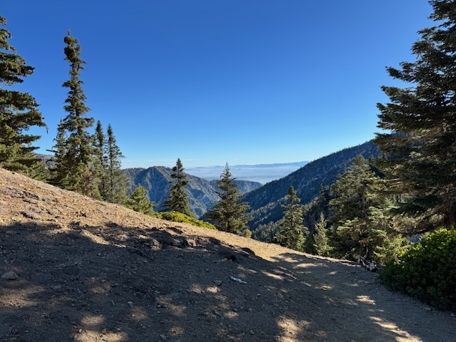
By 8:25 am, I reached a second saddle, between Bighorn and Cucamonga Peaks.
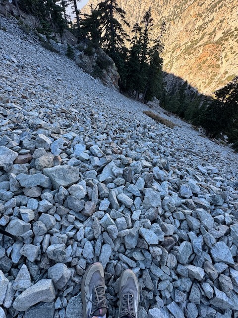
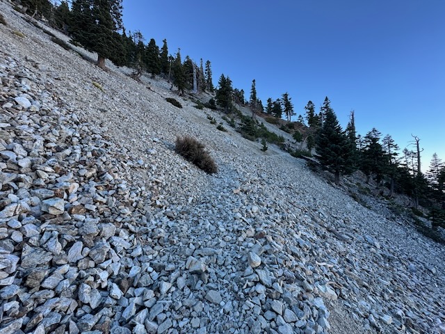
It was 8:30 am as I entered one of the most memorable parts of this hike, along an alpine scree field that is also steep. You’re just walking on granite rock, and it’s noisy as the rocks shift under your feet. You feel like you’re truly alpine here. This section felt sketchy the first time I was here, and still does now. I would not want to try this in winter, not any part of it. It is just way too steep. If it were covered in ice and snow, you would be a goner if you fell, and did not properly self arrest with an axe. Lots of people have fallen on this trail. For me, Cucamonga Peak Trail is strictly a late summer and fall adventure.
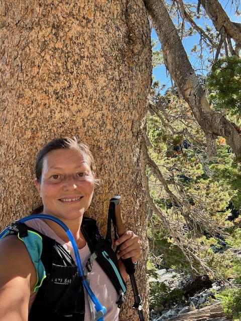
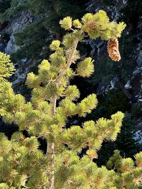
By 9:15 am the sun was shining over the ridge warming up the trail a bit. I stopped for a brief few minute long break. There was so much beauty along with part of the hike, as I made my way up the Cucamonga switchbacks once more. Lots of interesting pines, and scenery.I passed another group, and then one more. Lots of hikers who started early were coming back. Another group was now in the distance behind me. I was no longer alone out here. Even on a Monday, this trail was popular.
By 9:30 am I was just about to turn off for Cucamonga Peak, staying to the right at an unmarked signpost, when I encountered a group of two sisters, who seemed lost. I steered them in the right direction for Cucamonga, and we discussed hiking and Alltrails maps on the way up. I shared a few things I do to not get lost and save battery on my phone, such as not using the navigation feature on Alltrails. I simply use the downloaded map, unless I am in a desert canyon or a place where you can lose your signal, where I would use a navigation track to get back. That is the only place I use navigating, since it drains battery fast.
Landmarks and Turn-arounds
I pointed to an interesting limber pine by the turnoff, a reminder and landmark to remember on the way back. I shared how I always turn around to see where I came from. They appreciated my simple tips for not getting lost and saving battery. Their phones were practically dead and they had left their battery charger. I continued on the final stretch to Cucamonga, reflecting on the fact that I had made it there faster than the first time I visited here. Yes it was a challenging climb, but for some reason, it just felt familiar, even though it was my second time to the peak.
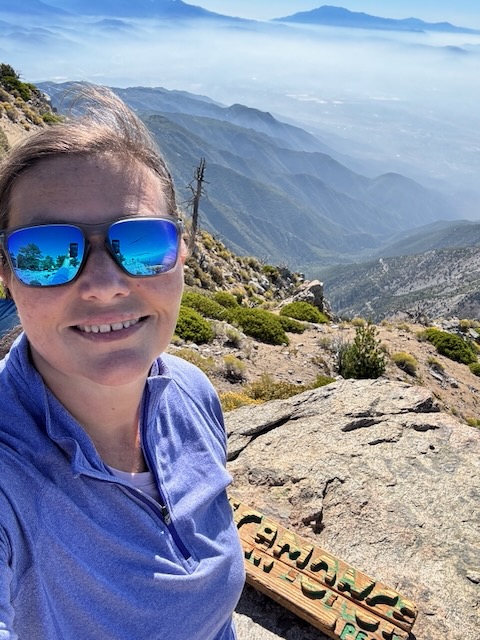
By 9:50 am I had made it to Cucamonga Peak – Elevation 8862 ft, for Summit #2! This is definitely one of the most beautiful peaks I have been to in the San Gabriels.
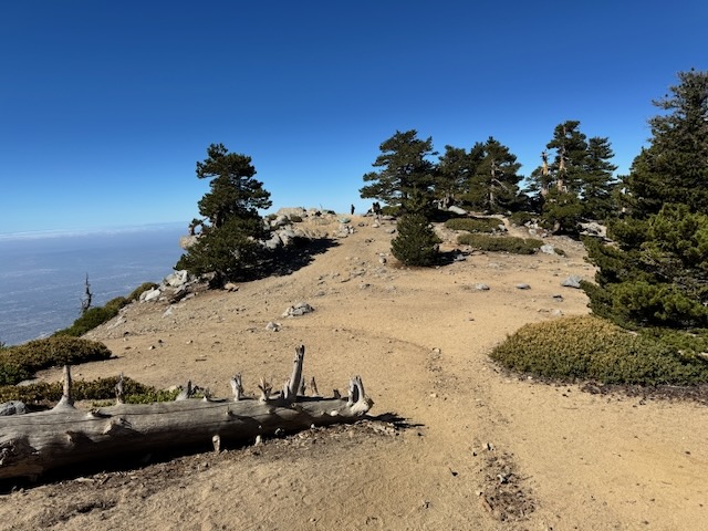
Cucamonga Peak has a partially treed summit, with lots of room to hang out. There were a few groups here lingering here, but it was not crowded on a Monday. I had planned to stop here atop Cucamonga for a moment, before continuing on to Etiwanda if I was up for it. But I decided there was no time for delay if I was making it to 2 peaks.
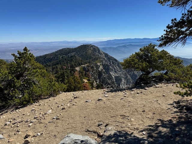
By 10 am I was hiking again along the ridge toward Etiwanda, finding a steep narrow trail along the way, descending down to link up with the Etiwanda Peak Trail.
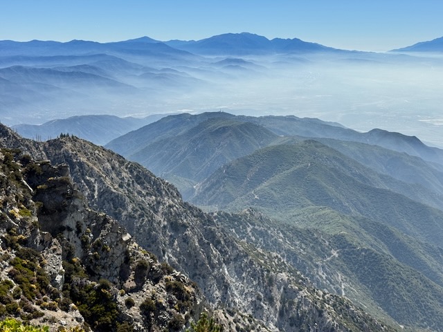
I was losing all that Cucamonga gain fast, and knew this peak is lower than it. This was a trail and section of the San Gabriels that was all new to me. There were some beautiful views from here, of the steep ridges leading down to San Bernardino, and rock chutes that just drop off. Great place to fall if your not focused and teeter on the edge. I probably dropped down a few hundred feet, before climbing again, and descending again, through a shady forested area. This was welcome, since it was warming up fast. It was comforting to know I might have at least some shade on the way back. I still had one more climb, a steep one, to Etiwanda, which I would reach about an hour later.
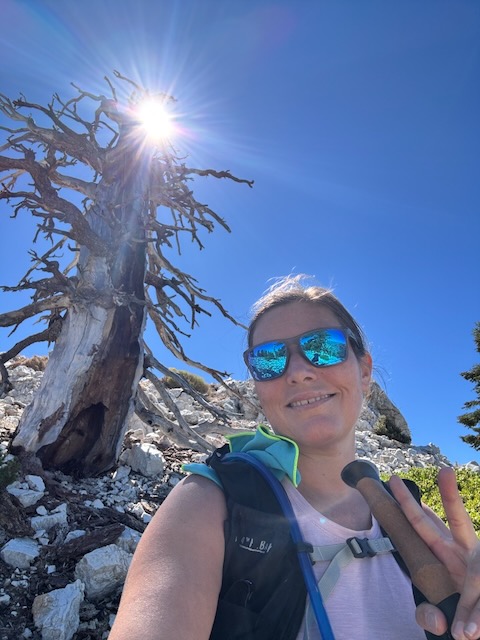
By 11 am I made it to this tree, which stands as a signpost for this Etiwanda Peak.
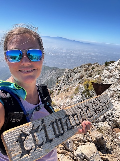
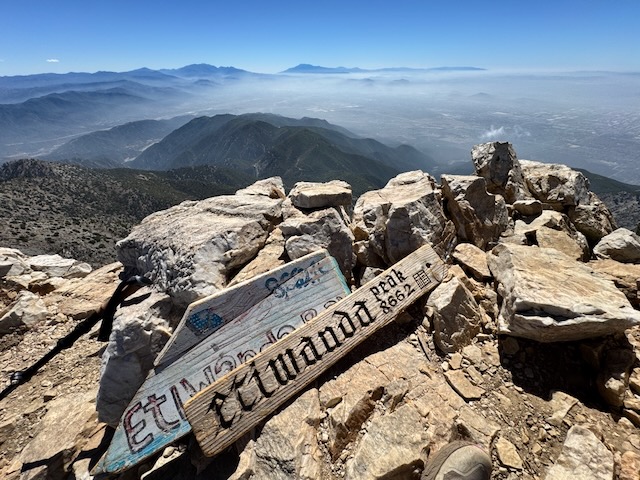
Etiwanda Peak – Elevation 8662 ft, Summit #1!
It was 11 am and warming up fast. I looked at my watch and noticed 4200 feet of gain on it. I stayed on the peak briefly, knowing I had to keep going. There was no time for a break. That’s the kinds of decisions that get made when your hiking solo and your not sure when you will run out of steam. I simply had to get back as priority #1. A summit break was second. Maybe next time?
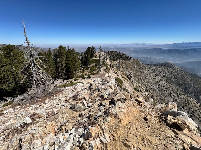
Off to the left were some places I had heard of that I would not be heading to today, such as Buck Point, and San Sevaine, on the Sierra Club Hundred Peaks Section, further down the ridge line. So I headed on down the steep pebbly granite trail, anticipating a big climb back up to the Cucamonga Peak turnoff. I probably added another 700 feet of gain on this section.
Check out the list of Sierra Club peaks, and learn more about how the HPS routes were created here.
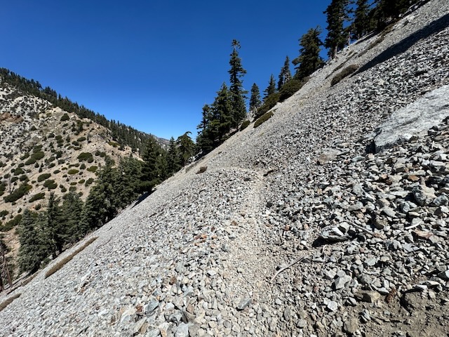
By the time I was back heading down the switchbacks of Cucamonga bound for the saddle, many groups were hiking up in front of me. The switchbacks were much less shaded now as would be the cliff sides on the way to Icehouse saddle. It was full sun and hot out as I made my way up an additional 300 feet, back to the saddle. I was now starting to feel exhausted, and my feet hurt. That’s what happens when you’re not in condition and are also wearing old trail runners. At least they were well loved. The soles are actually falling apart. That means I liked this pair. This peak was the sendoff for them.
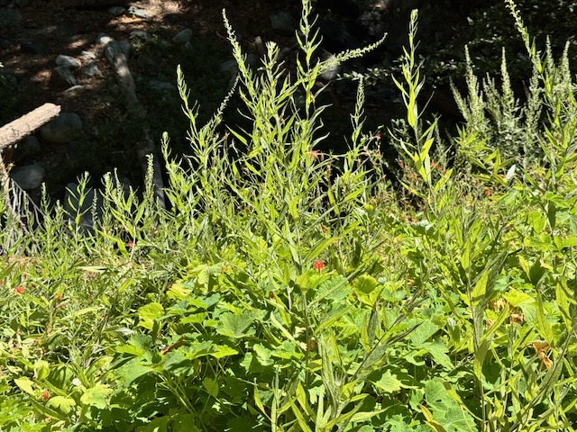
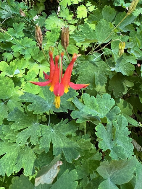
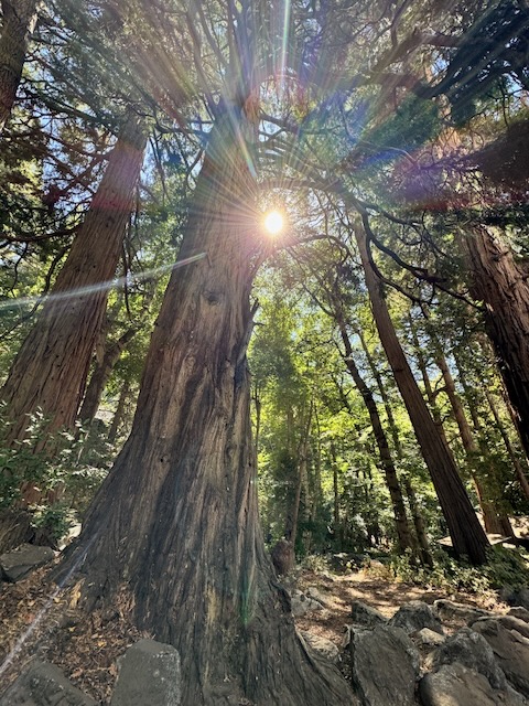
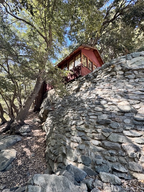
I was really fading on the way back down to the canyon. I paused several times to enjoy the beautiful scenery of Icehouse Canyon; the flowers, the trees, the waterfalls, and all the beauty, making it back to the parking area by 3:15 pm.
A Long Haul
This was a long haul of a hike. I started about 5:10 am, and finished at 3:15 pm. This was a 10 hour hike, my longest hike in some time. My total mileage was 15.4, and gain was 5240 feet. The best thing was I managed to somewhat beat traffic on the way back to Orange County. I had finally been to Etiwanda Peak, one I was not sure I was ever going to be ready for, but finally was. What a way to say goodbye to summer and finish off the month of August.
Until next time Etiwanda Peak!
Sharing Beta
I feel like I never know everything, and am always researching topics revolving around hiking. I read posts in hiking groups, on hiking blogs, watch vlogs about real experiences, read books, study maps, and many other web resources, such as those provided by the USFS and the Sierra Club. What I decide to do out in the wilderness is in one part research, the other part trial and error. A summit photo alone is not enough. It is not the whole story. If you’re reading this, and you like to post on social media, please share how it went out there. The more we share our true experience, the more we share the love.
Reflections
I knew Etiwanda is a beast and I was not making it there on my resources alone. Part of trusting God in my life and in the wilderness is knowing how to listen and trust. I have been dealing with a whole lot this year – mentally and physically. All of this and life takes an emotional toll. It’s been a triple whammy for me, this year, with all the thinking, overthinking, thinking some more, and navigating challenges. We all want to control what we can’t control, so it is best to not fight it. About 9/10 times this year, my motivation did not match my capabilities. But I accepted it, and am grateful, for everything I get to do. All part of the experience of life.
I hope you enjoyed reading this, and it is helpful in knowing what to expect, should you decide to visit here.
The Essentials
Just be sure to come prepared, by downloading a map ahead of time, bringing the 10 essentials, and Packing Out Your Trash to keep the wilderness pristine for future hikers.
About me
I’m Serafina! I’m a writer and California girl who loves to go exploring. Hope you will get outside today, breathe some fresh air, and be happy!
Like and Subscribe to my Channel!
Follow my Journey @serafinabenjamin
Follow along on My Youtube Channel where I post videos!
Disclaimer:
The work on this blog is my opinion and my opinion alone and I am not responsible for the outcome if someone were to apply these thoughts to their own life. All text and photography copyright 2026 by Serafina, all rights reserved. Information and opinions provided are kept current to the best of the author’s ability. All readers’ usage of the ideas and opinions presented in the blog, are at their own risk. Be aware of the possible dangers of hiking, surfing, walking, cooking, and other activities, which may take place indoors or outdoors. By reading this, you agree not to hold the author or publisher of the content on this web site responsible for any injuries or inconveniences that may result from reading the blog, or partaking in any activity mentioned in the blog. Read the blog, and use its ideas, if you so desire, at your own risk.


