Hiking in the clouds to Mount Lukens

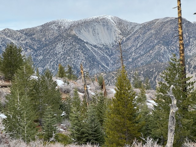
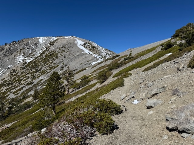
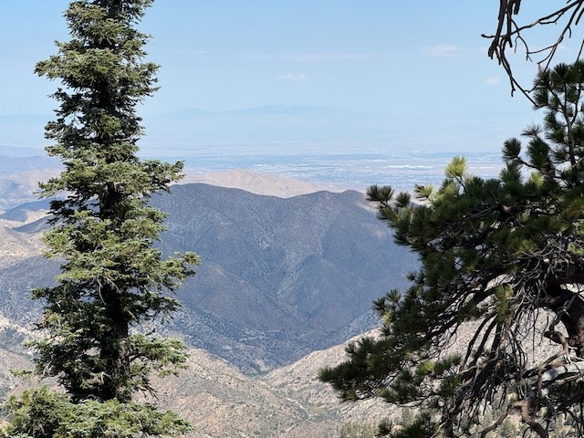
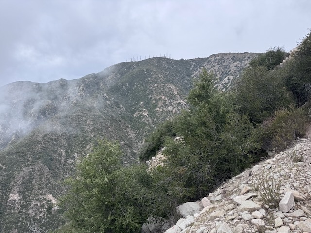
Mount Lukens is a popular hike, located within the LA Mountains, near Glendale. The trailhead has free parking, clean restrooms, and some historic stone buildings. I decided to hike up to Mount Lukens the same day in which a significant rain was to take place, that evening.. I planned to hike early to avoid the rain, and potential for flooding, mud or rock slides with it. I always plan to attempt foothill hikes such as this, climbing mountains 5000 feet or lower in elevation, from December to March, when temperatures are cool, prior to spring vegetation overgrowing the trails.

Ontario Peak in Winter

Hiking to Ontario Peak in December is unusual for me. I don’t typically hike to peaks above 7000 feet during the dead of winter. Not only can it be hazardous to hike when there is ice and snow, I don’t have a vehicle that does well on roads during these conditions in the mountains, so I don't go. It had been an unusual winter so far, with fall and spring coming simultaneously. The fall leaves were turning golden just as fresh spring grass was emerging in December. Now in January, the wildflowers were emerging, first in the desert, and now in the coastal foothills. Amid all this unseasonal weather, were a series of atmospheric rivers which had served to re-charge the reservoirs, ensuring a fresh supply of water for Southern Californians, causing rivers and waterfalls to flow abundantly, while simultaneously dusting the highest peaks of the LA mountains above 7000 feet in a generous blanket of snow.

2 Peaks in a Day: Mount Lewis and Mount Williamson

I knew this trip to SR-2, may very well be my last this season, and the road past Mt Baden Powell, may very well be closed again. I was headed for Mt Williamson, and potentially was going to extend the hike along Pleasant View Ridge on to Pallet Mountain. That would make it a 10 mile day. But another option lingered in my mind, to check out some of the shorter hikes along SR-2 I had skipped over, such as Mount Lewis. It was my second time driving past Wrightwood, along SR-2 since the fires a year ago. I had been up this way in July, to hike to Mount Baden Powell. At that time, the road was still closed beyond Vincent Gap, but no longer. I could now drive the entire length of SR-2 if I so desired, well past Mount Islip, and onward further.

Mount Baldy via the Backbone Trail – Summit #5

This would be Mount Baldy summit #5. It was a cool fall morning in the Cucamonga Wilderness in October as I began my hike to Mount Baldy from Manker Flats around 7:30 am. It was just below 50 degrees out and the weather was perfect. I had no planned eta on this one. However long it takes. However many breaks. If I needed to turn back I would. I was trying to be realistic, and not push too hard on this one. I began heading up Baldy Rd. towards the notch, since today I planned on summiting Mt Baldy via the Devil’s Backbone Trail. It had recently snowed here a week ago, and I had a feeling the snow had melted off along the trail just enough in the past few days, with the warmer drier conditions, to make the backbone trail safe and passable. I brought micro-spikes and a trekking pole for stability on small patches or snow or ice.

Waterman Mountain Loop

My goal for today’s hike was to explore the Waterman Mountain loop, that sits within a scenic wilderness area of the San Gabriel Mountains. The trailhead sits along SR-2, the Angeles Crest Highway, and is a bit out of the way. It is well past Chilao Campground, and Mount Williamson, along with most of civilization. The highway had been closed for repairs for sometime, which made visiting here again exciting.