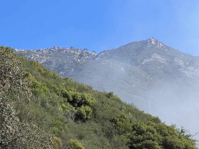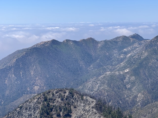
It is mid-May, and there has not been much rain, so the terrain is fairly dry. There is a waterfall nearby, but I am unsure if today will be the day, I return to it. I have hiked from Chantry Flat, once before. It is a beautiful area for hiking, in Santa Anita Canyon. It is a popular hiking destination, accessed by a winding road, with a 15 mph speed limit, from Sierra Madre, below. The area has been affected by wildfires, and recently re-opened after the Eaton Fire tore through, the same day Pacific Palisades burned. I began my hike from Chantry Flat to Mount Wilson along Upper Winter Creek Trail around 8:30 am. It would be a 9.5 hour day of hiking, with a 30 minute break, for a total of 10 hours. I hiked 15.7 miles through all types of terrain, to complete what many consider one of the most iconic hikes in the Angeles Forest.
Category: Exploring
Road Trip: Part 2 – Montana Del Oro and Morro Bay
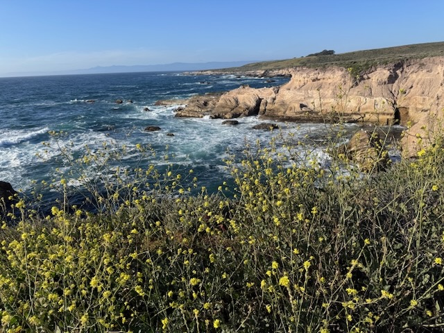
I am on a road trip heading north up the Central Coast to Pinnacles National Park. It is March and springtime, so the hills are green an lush. I am traveling through Santa Barbara county, through Santa Maria on to Morro Bay State Park, where I plan to camp. I arrived at Montana Del Oro, just south of Morro Bay, with its cinder cone island floating there in the waves. I parked by the Bluffs Trail, just south of the Spooner’s Cove and the Islay Campground, where the lighthouse keepers house sits. I zig zagged among the bluff coves, noticing sea birds, crashing waves, along with unique exposed ancient rock reefs and sea stacks. It was flat, easy to navigate, and had many offshoots, leading to various viewpoints. It was just the relaxing break I was looking for after a day of almost 5 hours of driving.
Road Trip: Part 1 – Cathedral Peak Trail and Seven Falls on my way to Pinnacles NP
The plan was traveling up the coast and to add in a hike or two on my way up to Pinnacles National Park about 6 hrs drive from my home. I decided I would stop in Santa Barbara for my first hike of the trip. After 4 hours of driving through some fun traffic in LA and Oxnard, I finally arrived at the Inspiration Point trailhead. I had not hiked any of these trails and there are several here. I made my way up the road, about 1/4 mile from where I had to park, toward the Inspiration Point Trailhead. It would be a late start as I needed to park .25 mile from the trailhead, along a pullout on the road. After hiking for about 15 minutes, the sun began to come out, warming things up fast as the craggy pinnacles and Cathedral Peak emerged off in the distance.
2 Peaks in a Day – Vedder Mtn and Mt Mooney
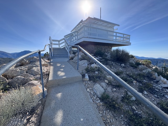
I have been to two other fire towers in socal, the one at Butler Peak, and the one at Tahquitz Peak. There are very few of these historic wooden fire towers left in existence. They are free to visit, if you can make the trek. Some are more accessible than others, and one of these is located on Vedder Mountain, just off SR-2 Angeles Crest Highway, and the Charleton Flats Trailhead. I was considering hiking to three peaks today: Mount Sally, Vedder Mountain, and Mount Mooney. Each of these involves a relatively short climb, so I thought why not combine them together, versus one long hike. Mount Sally was 2 miles, Vedder Mountain was 4 miles, and Mount Mooney was also 2 miles. Together it would be an 8 mile day, except plans changed a bit.
Hiking a Superbloom: Antelope Valley Poppy Reserve
The poppy fields near Lancaster, California, are a place that I've wanted to visit for sometime. They are open from dawn until dusk and there are several hundred acres to explore. Some parts of the reserve are accessible by OHV, along unpaved sandy roads. The best parts of the park are supposed to be down these roads. It was a 3 hour drive to get here, and I left just before sunrise. There are plenty of places you can see poppies in the socal, but the Antelope Valley Poppy Reserve is known to be one of the best. It is situated north of Los Angeles, near Palmdale and Lancaster. It's a beautiful desert area, but not a place most people think of as a getaway, except during the superbloom.