Road Trip: Part 2 – Montana Del Oro and Morro Bay

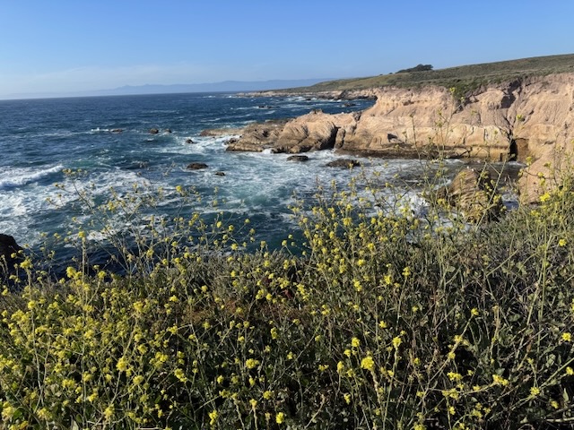
I am on a road trip heading north up the Central Coast to Pinnacles National Park. It is March and springtime, so the hills are green an lush. I am traveling through Santa Barbara county, through Santa Maria on to Morro Bay State Park, where I plan to camp. I arrived at Montana Del Oro, just south of Morro Bay, with its cinder cone island floating there in the waves. I parked by the Bluffs Trail, just south of the Spooner’s Cove and the Islay Campground, where the lighthouse keepers house sits.  I zig zagged among the bluff coves, noticing sea birds, crashing waves, along with unique exposed ancient rock reefs and sea stacks. It was flat, easy to navigate, and had many offshoots, leading to various viewpoints. It was just the relaxing break I was looking for after a day of almost 5 hours of driving.
A forgotten desert peak

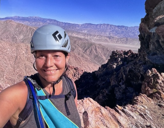
Indianhead Peak is a desert peak in every sense of the word. It is a place you go to get away from it all, going off the beaten path, and hopefully not get lost in the process. Lost and forgotten, are themes that re-occur throughout this adventure. What is lost is found. All is not lost. Most importantly, all make it back to the trailhead. There is a reason few people hike to Indianhead Peak. There is not actually even a trail. That is the first part of the story...of 8.4 miles with 3700 feet of gain, with 2700 feet of the gain, over the course of a mile. This one is steep in every sense imaginable.

Coyote Peak in Anza Borrego

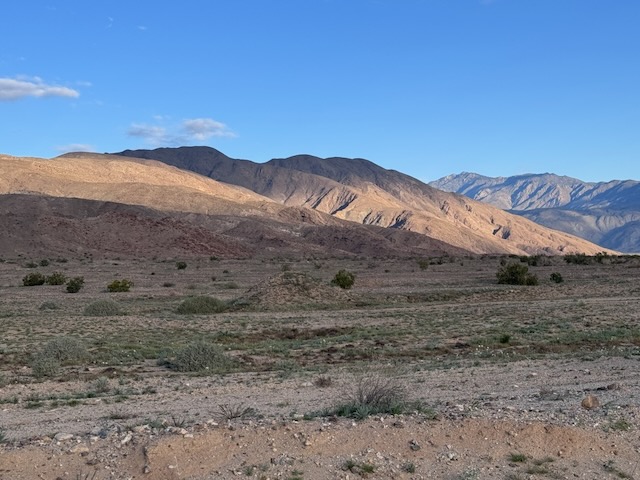
I drove into Borrego Springs and I made a right through the center of town. I drove around the traffic circle and noticed a farmers market. From here, I drove straight out into what feels like the middle of nowhere. Rego Springs that's one of those places where you feel like you're getting away from it all every sense of the word. Very few stores, homes, or anything here, yet it still hangs on somehow I personally like this little town a lot. I continued onto Sultan seaway. I could see the coyote peak off in the distance illuminated by the morning sun. I wasn't expecting to see an actual coyote, driving up the road to Coyote Canyon. I headed up Rockhouse Canyon Rd. and parked in what looked like a small turnaround, next to a bush. It would be a 6.2 mile hike to Coyote Peak, and there was no trail.

Stonewall Peak and Cuyamaca Rancho in Fall

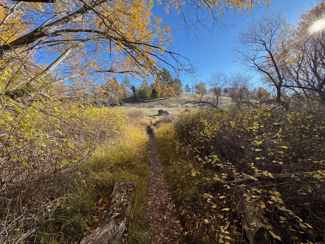
So this would be my second hike in this beautiful historic wilderness park, and former rancho, with habitation dating back over 9,000 years. It was the home of the Kumeyaay tribe, and seven villages were located here. It would be my second time hiking here. I was coming on a busy weekend in fall. I drove up Hwy-79 and parked at Trout Pond trailhead, not noticing any indication of a need to display a parking pass here. There were about 5 cars parked here, and across the road. I exited my car and was just in awe of the fall colors. It had been unknown to me in planning this hike that the fall colors would be at their peak. I began hiking along the Marty Minshall Trail, heading towards the forest, which was glowing in shades of bright yellow.

Red Tahquitz Peak

Here I was, back in Idyllwild again, years later. I picked up my permit at the ranger station kiosk which is open 24 hours. The permits can be limited to places such as Tahquitz Peak during peak times of the year. So you must always pick one up, before you head out. I then drove toward Humber Park, and reached the parking area around 7:45 am.  Once I arrived at the parking area, right away I spotted beautiful Lily Rock towering up above. Today I was hiking with a friend, who had yet to hike to Red Tahquitz Peak, so this would be a first for both of us. The area of Tahquitz Peak and Lily Rock is a popular rock climbing area as well, and I noticed several climbers heading out from the trailhead as well.