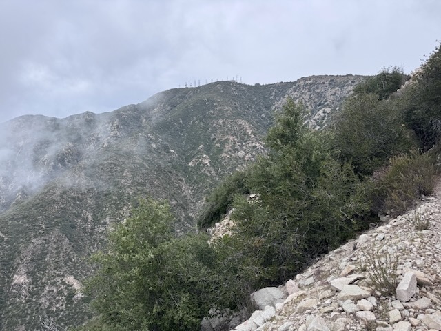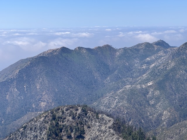
It is mid-May, and there has not been much rain, so the terrain is fairly dry. There is a waterfall nearby, but I am unsure if today will be the day, I return to it. I have hiked from Chantry Flat, once before. It is a beautiful area for hiking, in Santa Anita Canyon. It is a popular hiking destination, accessed by a winding road, with a 15 mph speed limit, from Sierra Madre, below. The area has been affected by wildfires, and recently re-opened after the Eaton Fire tore through, the same day Pacific Palisades burned. I began my hike from Chantry Flat to Mount Wilson along Upper Winter Creek Trail around 8:30 am. It would be a 9.5 hour day of hiking, with a 30 minute break, for a total of 10 hours. I hiked 15.7 miles through all types of terrain, to complete what many consider one of the most iconic hikes in the Angeles Forest.
Category: San Gabriels
2 Peaks in a Day – Vedder Mtn and Mt Mooney
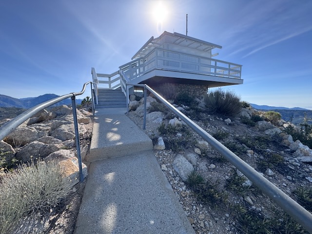
I have been to two other fire towers in socal, the one at Butler Peak, and the one at Tahquitz Peak. There are very few of these historic wooden fire towers left in existence. They are free to visit, if you can make the trek. Some are more accessible than others, and one of these is located on Vedder Mountain, just off SR-2 Angeles Crest Highway, and the Charleton Flats Trailhead. I was considering hiking to three peaks today: Mount Sally, Vedder Mountain, and Mount Mooney. Each of these involves a relatively short climb, so I thought why not combine them together, versus one long hike. Mount Sally was 2 miles, Vedder Mountain was 4 miles, and Mount Mooney was also 2 miles. Together it would be an 8 mile day, except plans changed a bit.
Hiking in the clouds to Mount Lukens
Mount Lukens is a popular hike, located within the LA Mountains, near Glendale. The trailhead has free parking, clean restrooms, and some historic stone buildings. I decided to hike up to Mount Lukens the same day in which a significant rain was to take place, that evening.. I planned to hike early to avoid the rain, and potential for flooding, mud or rock slides with it. I always plan to attempt foothill hikes such as this, climbing mountains 5000 feet or lower in elevation, from December to March, when temperatures are cool, prior to spring vegetation overgrowing the trails.
Many Water Crossings Through an LA Burn Area: The Bridge to Nowhere
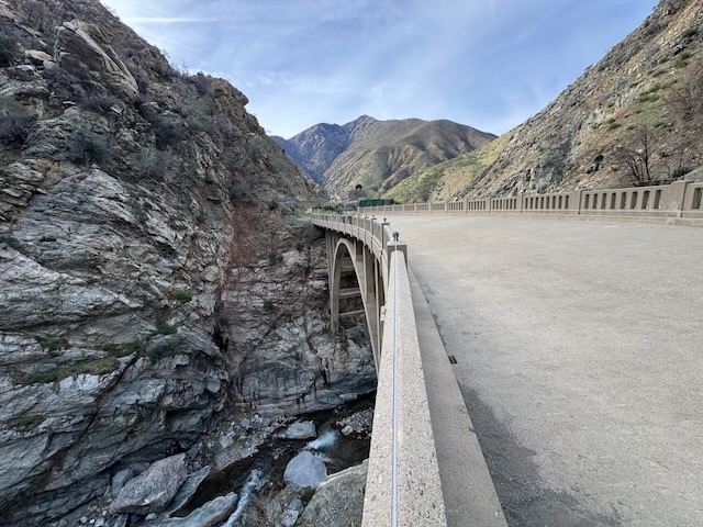
The Bridge to Nowhere is one of the iconic hikes in Southern California that everyone talks about, so I felt it was something I needed to see. The bridge was built in the depression era in 1937, to connect Wrightwood with the San Gabriel Valley. I arrived at the trailhead for Heaton Flats and set out for the Bridge just before 9am. The sun was just starting to rise as I continued down the wide trail, heading towards the Sheep Mountain Wilderness.
2 Peaks in a Day: Mount Lewis and Mount Williamson
I knew this trip to SR-2, may very well be my last this season, and the road past Mt Baden Powell, may very well be closed again. I was headed for Mt Williamson, and potentially was going to extend the hike along Pleasant View Ridge on to Pallet Mountain. That would make it a 10 mile day. But another option lingered in my mind, to check out some of the shorter hikes along SR-2 I had skipped over, such as Mount Lewis. It was my second time driving past Wrightwood, along SR-2 since the fires a year ago. I had been up this way in July, to hike to Mount Baden Powell. At that time, the road was still closed beyond Vincent Gap, but no longer. I could now drive the entire length of SR-2 if I so desired, well past Mount Islip, and onward further.