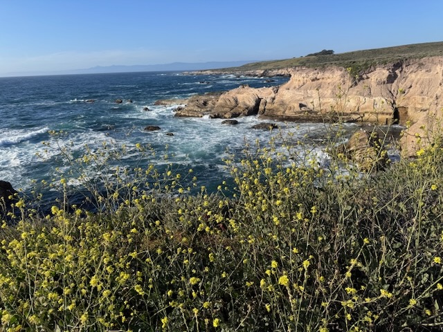
I am on a road trip heading north up the Central Coast to Pinnacles National Park. It is March and springtime, so the hills are green an lush. I am traveling through Santa Barbara county, through Santa Maria on to Morro Bay State Park, where I plan to camp. I arrived at Montana Del Oro, just south of Morro Bay, with its cinder cone island floating there in the waves. I parked by the Bluffs Trail, just south of the Spooner’s Cove and the Islay Campground, where the lighthouse keepers house sits. I zig zagged among the bluff coves, noticing sea birds, crashing waves, along with unique exposed ancient rock reefs and sea stacks. It was flat, easy to navigate, and had many offshoots, leading to various viewpoints. It was just the relaxing break I was looking for after a day of almost 5 hours of driving.
Category: Journal Entry
2 Peaks in a Day – Vedder Mtn and Mt Mooney
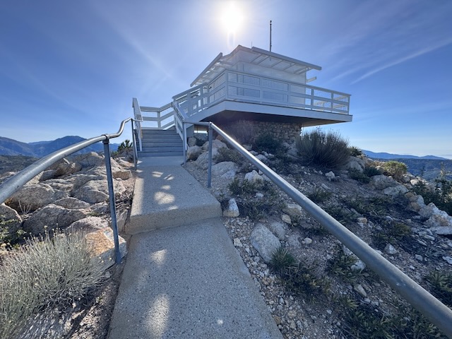
I have been to two other fire towers in socal, the one at Butler Peak, and the one at Tahquitz Peak. There are very few of these historic wooden fire towers left in existence. They are free to visit, if you can make the trek. Some are more accessible than others, and one of these is located on Vedder Mountain, just off SR-2 Angeles Crest Highway, and the Charleton Flats Trailhead. I was considering hiking to three peaks today: Mount Sally, Vedder Mountain, and Mount Mooney. Each of these involves a relatively short climb, so I thought why not combine them together, versus one long hike. Mount Sally was 2 miles, Vedder Mountain was 4 miles, and Mount Mooney was also 2 miles. Together it would be an 8 mile day, except plans changed a bit.
A forgotten desert peak
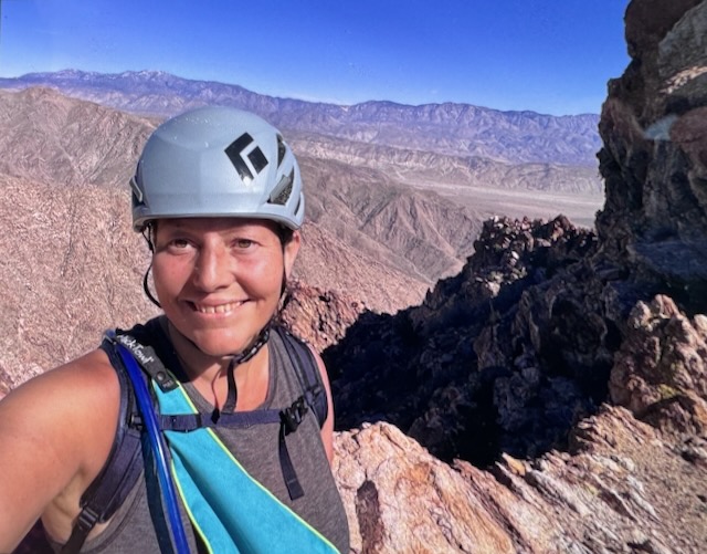
Indianhead Peak is a desert peak in every sense of the word. It is a place you go to get away from it all, going off the beaten path, and hopefully not get lost in the process. Lost and forgotten, are themes that re-occur throughout this adventure. What is lost is found. All is not lost. Most importantly, all make it back to the trailhead. There is a reason few people hike to Indianhead Peak. There is not actually even a trail. That is the first part of the story...of 8.4 miles with 3700 feet of gain, with 2700 feet of the gain, over the course of a mile. This one is steep in every sense imaginable.
The Highest 2 Peaks in Orange County CA
This hike was a long time coming, a small goal I had in a big universe. Originally I wanted to hike the Holy Jim trail (14 miles), but it's been closed because of the Airport Fire. This is the highest peak in Orange County where I live. The traditional way to get there is the Holy Jim Trail, which seems like it has been closed for most of the last 10 years, due to weather, and fires. It is opening this year, supposedly. But I have wanted to complete this peak, for so long, I decided now was the time. I was prepared to hike 24 miles if need be. But as events began to unfold it would prove to be a much shorter adventure than I had anticipated.
November Hiking Recap
For everything there is a season, especially hiking. When I think about hiking in November, several things come to mind. This is a time of year when the seasons change hands, when the temperatures finally start to cool and the first rain of the season may occur. Nights may dip into the low 50’s and morning dew covers the grass in the morning. I love hiking during this time of the year, watching the leaves begin to turn golden. I managed to get in 22 hikes in November, and hike to 4 peaks. So as far as hiking goes, November delivered!