I had been wanting to hike to these two peaks in a day for some time. Finally I was able to not only find the perfect day in late January to do so. I would also be hiking with a friend. It would be her first time hiking to both peaks, and my fourth time to Bedford peak, which is the second peak I ever climbed solo.
The trailhead to Bedford Peak is located by the Maple Springs Visitors Center, along Maple Springs Rd., an OHV road which leads you from Silverado Canyon, up toward North Main Divide Rd. in the Santa Ana Mountains.
The first time I ever visited Silverado Canyon for a hike, I was hiking in a group on a guided naturalist led hike, with a group of kids. I think it is important to take kids outside into nature early on in life. There are so many ranger led programs at local regional parks in Orange County to take advantage of in Orange County. So my introduction to this place involved searching for medicinal plants along the roadside. But even on my first hike here, something about this place just draws you back. For Orange County, it truly feels remote here, since you are officially in the wilderness, in the Cleveland National Forest. As such, you should display your Adventure Pass when you park.
My first hike in Silverado Canyon was along an un-named single track that runs along Maple Springs Road, to the right, and begins near the Bedford Peak Trailhead. Back then, I would have never known that years later, be so much into mountain hikes, as I am now. Back then, I simply enjoyed getting outside getting to know the plants, criss-crossing peaceful streams on the rocks, sitting and contemplating with gratitude the beauty all around me while perched on a boulder, as the birds sang.
Nature therapy is real, and everyone deserves the opportunity to enjoy a big dose of it, during their lives. I feel it is best to start enjoying the outdoors is when you’re young. I am grateful I was allowed to dig in the dirt for hours in my backyard during childhood. Being in the dirt and not an overly sanitized environment builds your immune system. Trees actually emit chemicals that boost our immunity as well. The most unhealthy place you can be is in a place where everything is sterilized. Wild places heal us in more ways than one.
The Trailhead
I arrived at Maple Springs around 7 am, finding the gate was open so we were able to drive up the road about 1/2 mile to park by the trailhead. Had there been recent rain, the gate would have been closed to traffic for 48 hours. There are only about 6 parking spots at the trailhead in front of the gate. That is one big caveat about hiking to Bedford Peak, or planning a group hike there, with the parking situation. There was just one other car there at the trailhead today on a weekday in late January.
Sunrise
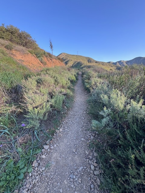
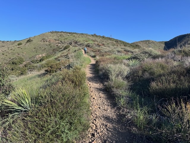
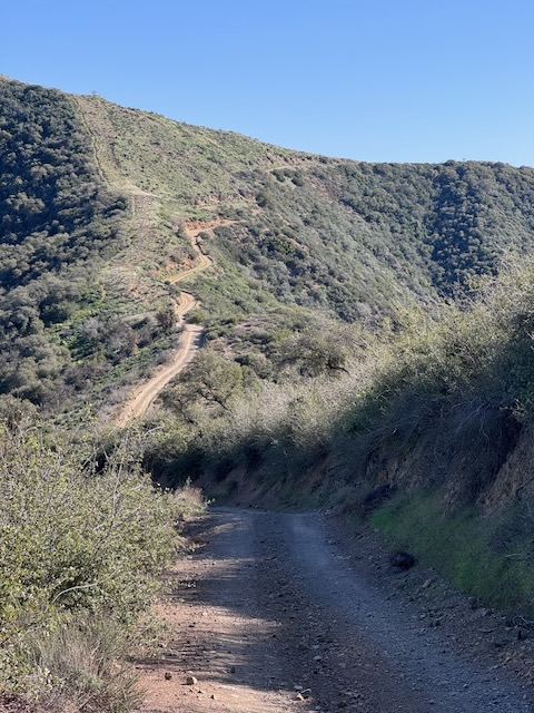
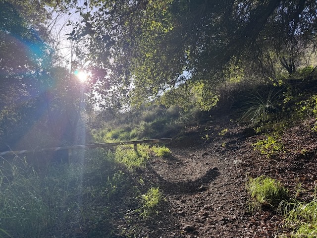
We began the hike around 7:30 am, just as the sun was beginning to rise, along a steadily steep single track, which is covered in strewn rocks, which makes finding your footing a bit unstable.
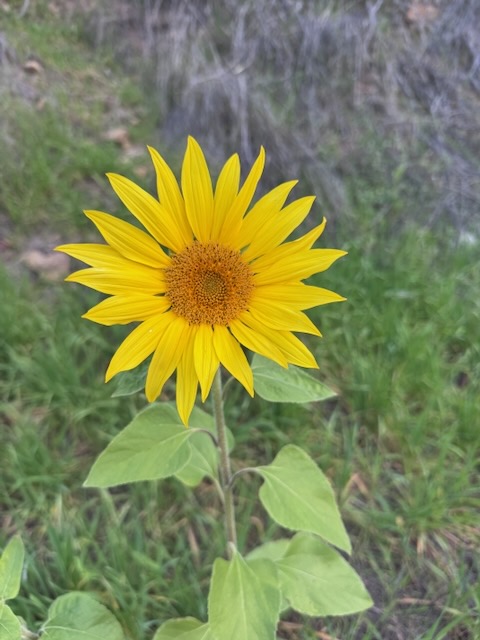
I was greeted by a bright yellow sunflower, likely sprouted from a stray sunflower seed. Birds drop seeds from feeders, and are the reason you may see non-natives sprouting along the trail.
The first mile or so of trail are made up of two long switchbacks through a canyon, dotted in sycamore trees, scattered in early spring wildflowers, shrubs and vines.
After rounding the first switchback, continuing the steady climb, the sun began to rise over the hillsides.
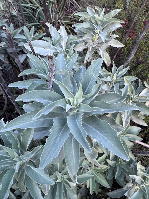
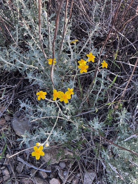
I began to notice more and more wildflowers along the trail, and plenty of freshly sprouted white sage, along with wild buckwheat, and purple salvia. Some flowering shrubs bloom all year long here such as Brittlebush, and yellow blooms of Bush Sunflowers.
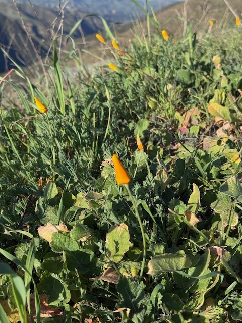
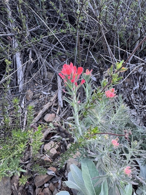
I climbed several more switchbacks, and came across a patch of bright orange poppies, along the ridge.
The trail had climbed steeply for the first two miles, and I had already gained over 1500 feet.
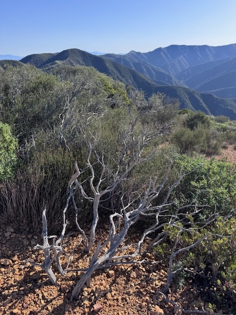
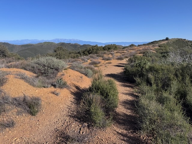
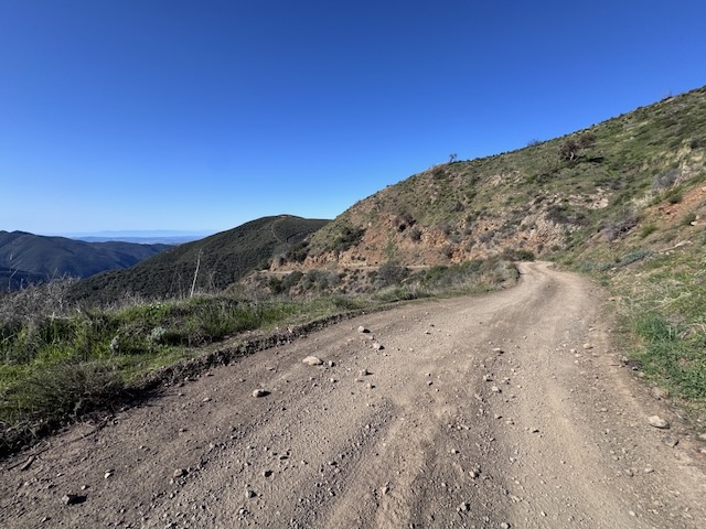
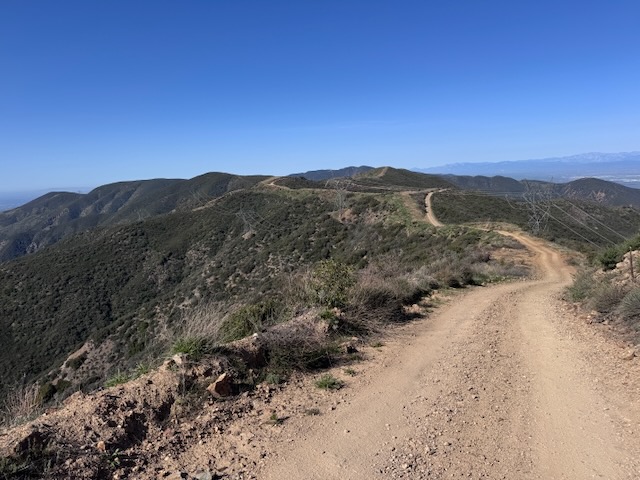
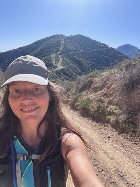
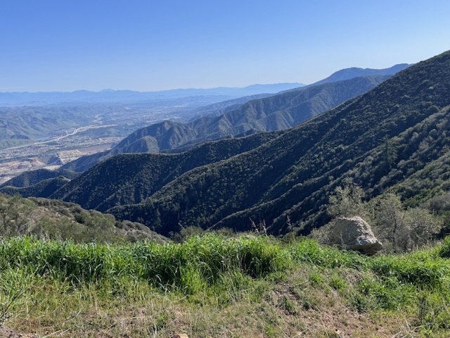
I made it to the ridge plateau, the trail bordered in wild manzanita growing abundantly along both sides itl. Here the trail becomes wider, like a fire road.
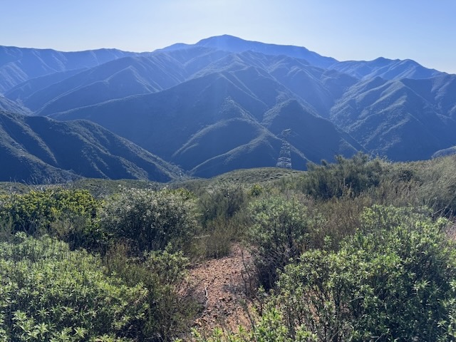
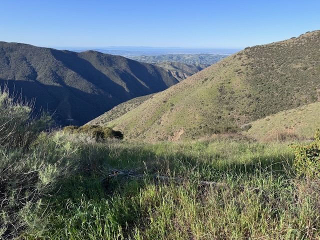
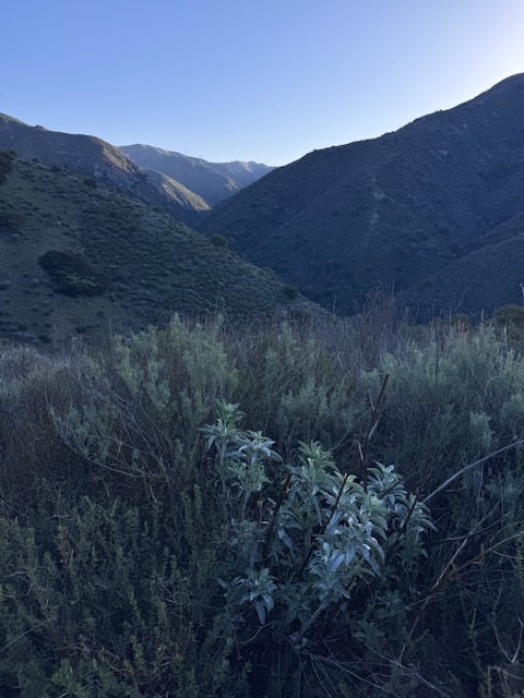
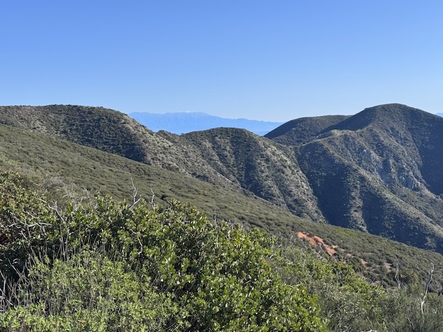
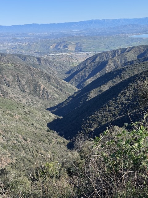
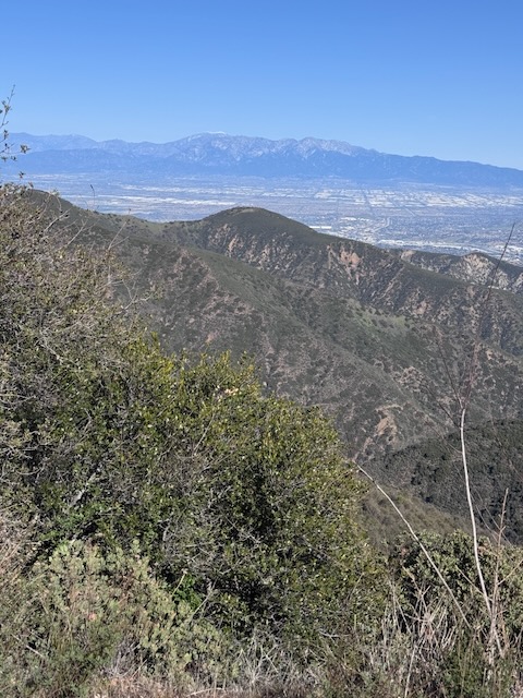
To the south, beyond the manzanita, was Santiago Peak in the distance, across a Silverado Canyon below.
Powerlines are not my favorite thing to see, but you will see them along this hike, edging ever closer to them once on the way to Bedford Peak and again later on near Bald Peak.
As I climbed gradually higher along the last 200 feet, to the peak, I noticed a flag in the distance. This flag is not the peak, but it is just beyond it. The flag had actually been moved to this new location, since my last visit here.
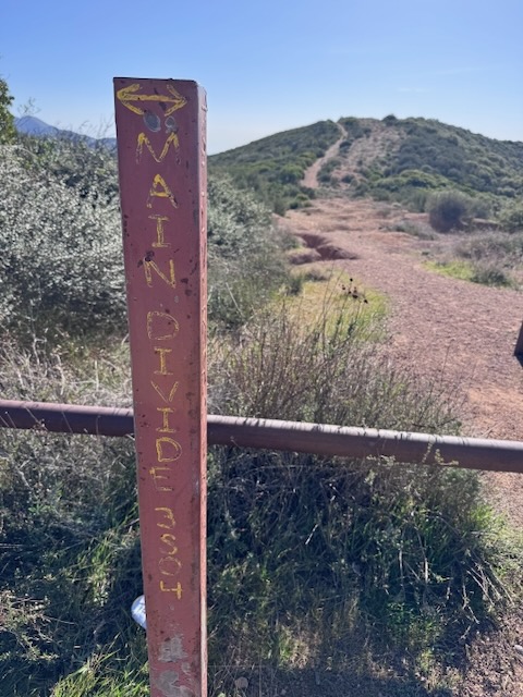
I turned right at North Main Divide Rd. and made a right along the fire road, now about a 1/2 mile to Bedford Peak.
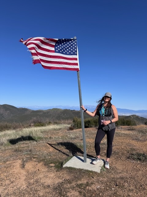
It was turning out to be a beautiful partly cloudy, and sunny morning. We arrived at the first hillside, making our way up it to the flag. The true summit was just beyond here, another tenth of a mile or so, down this small hill, and up another, even steeper, small hill.
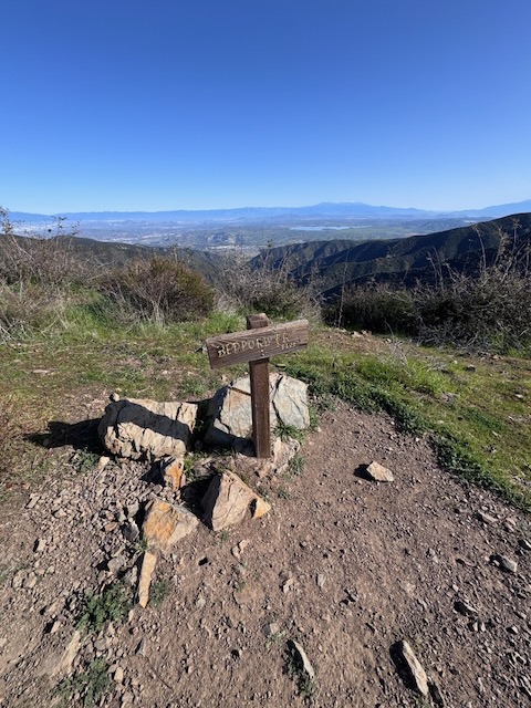
Bedford Peak
The trail flattened out, as I continued along a single track to the peak. It was just before 10 am when we made it there to Bedford Peak. Summit #4 complete!
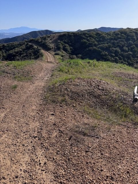
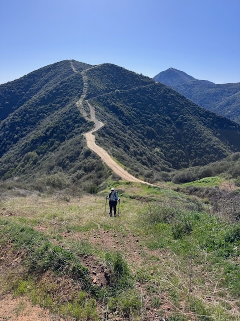
After a brief pause, having hiked 3.5 miles so far, we opted to just continue hiking another 3 miles on toward Bald Peak.
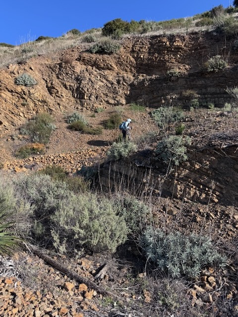
We chose the most direct path, down a steep slope, which required no backtracking. We slightly regretted this, as this incline was serious, and the terrain loose dirt. I stayed on side of the trail to remain stable and took my time, making switchbacks, using the grass, to get better footing.
Back on the fire road, after dropping down close to 100 feet we continued onward.
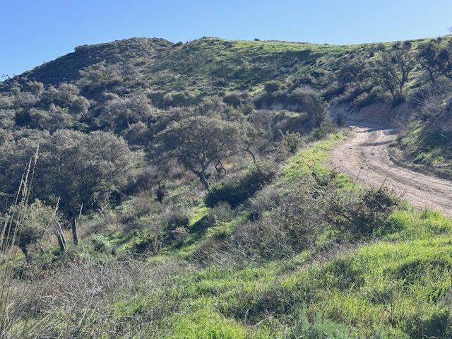
By 10:30 am we had dropped down about 400 feet from Bedford Peak, and were now climbing again. We would definitely be getting in a fair amount of gain today. We still had no idea how much.
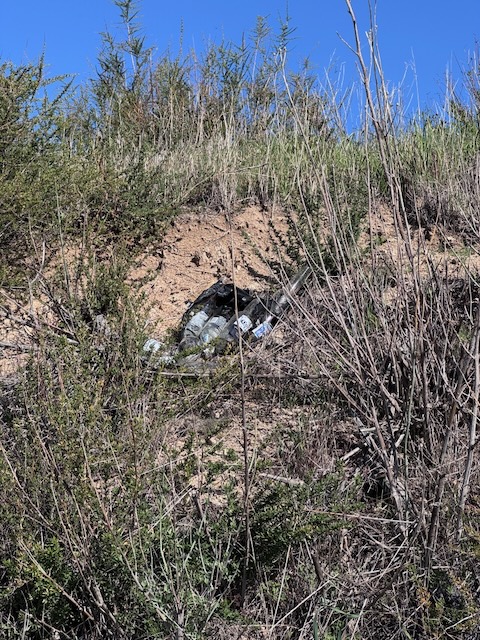
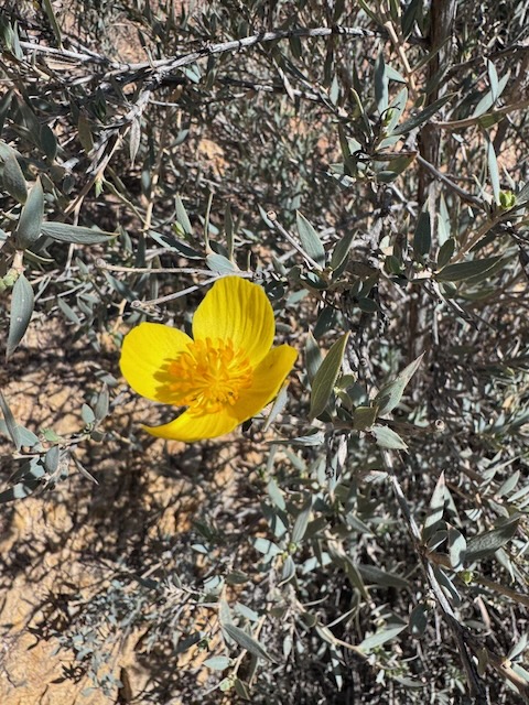
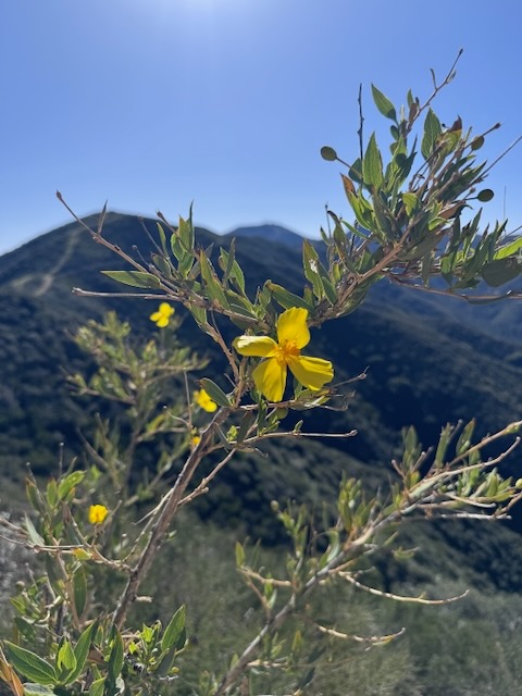
The bright yellow petals of Flannelbush were blowing in the breeze along the ridge to my right, beer bottles cast aside on the other, and snowy peaks hung in the distance for contrast.
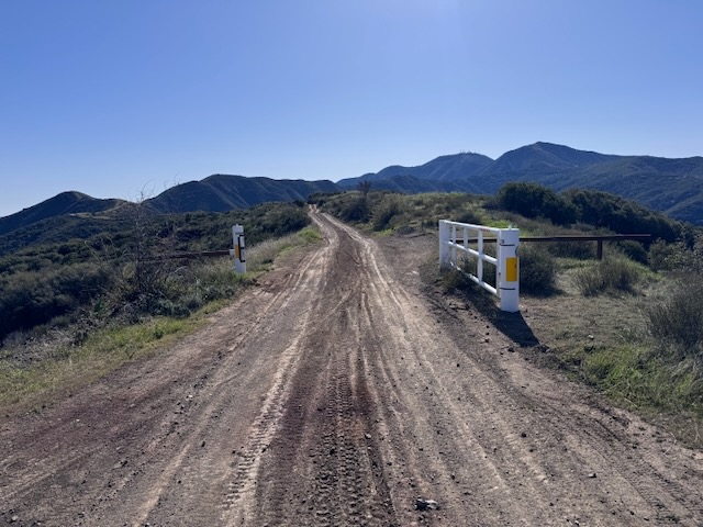
I was just before 11 am when I made it to the next milestone, another wide gate, along North Main Divide Rd.
I noticed a fire burning far in the distance on another far off ridge in the San Jacinto Wilderness. The conversation turned to wildfire safety. The winds were gusting today, and fire is always a concern in the dry chaparral landscape of these foothills. We talked strategy on evacuating if we had to, noting escape routes.
I then noticed a moth, perched on a rock alongside the trail.
Soon after North Main Divide Rd. met up with Bedford Road,heading up from Corona below, beside an OHV staging area.
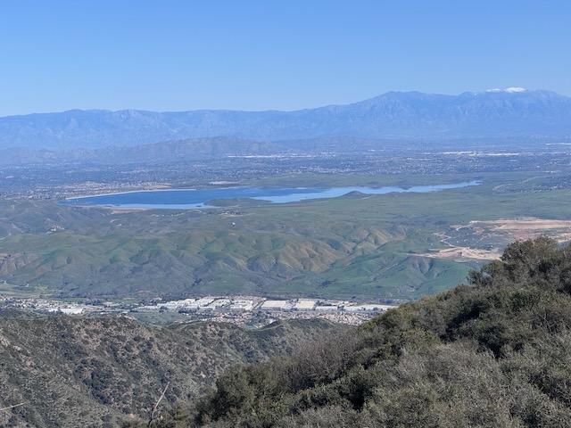
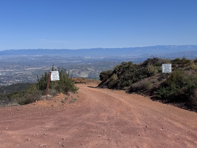
I could see Lake Matthews in the distance, and snow capped Mount San Jacinto hovering high above it.
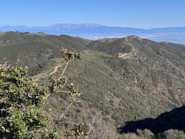
I edged ever close to Bald Peak, with Modjeska and Santiago Peaks alongside it, in the foreground, and Maple Springs Rd. clearly visible.
On Maple Springs Rd. in the distance, I could see a vehicle making its way up the road, on its way toward Santiago Peak and Modjeska Peak, which are two peaks I planned on climbing soon.
Since I had not heard of many people going to Bald Peak before I attempted to gather as much information as possible before this hike. I managed to come across an older blog post. Since there is no alltrails map to this hike, I had to combine two maps, the Bedford Peak Map and the North Main Divide Truck Trail map. Combining maps is not really an issue for me. I rarely use the navigation feature on Alltrails, mainly referring to the maps as needed. The only situation I would use navigation is where the terrain was more confusing such as the desert within canyons. As a place like The Wave in Utah, I have heard the terrain is very confusing. Maps would be mandatory for that one.
As we continued climbing along the ridge,not one other hiker, or vehicle passed us.
The road began to level out for a bit. Just one more climb remained, on the way to Bald Peak.
By 11:30 am I was closing in on Bald Peak. I then noticed how steep the trail was from this approach side on the north, so hiked further on to the backside of it, to see if the terrain was more gradual. It was, but not by much.
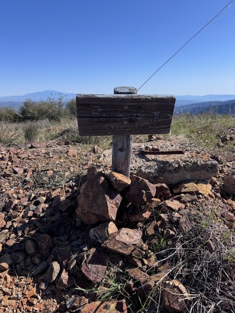
After another 10 minutes of climbing my own switchbacks in choose your own adventure “there is no actual trail,” style, I had made it to Bald Peak Elev 3947 ft!
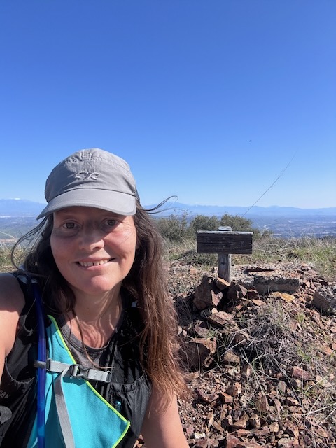
Bald Peak
An aging peak sign, stood only with the help of a pile of rocks marked this peak. I appreciate a good peak marker like anyone. It is a shame when selfish and careless people vandalize or steal a piece of our cultural hiking heritage.
I rested somewhat uncomfortably atop a piece of jagged discarded concrete complete with rebar sticking out to have a snack admiring the view. It was all part of the experience.
We stayed about 20 minutes more while I contemplated the future peaks, not far off in the distance, before opting to head back to avoid the beating sun.
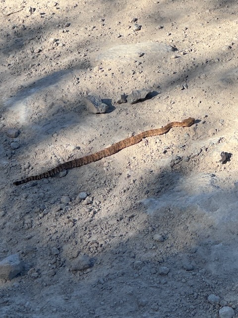
While hiking along, admiring many beautiful early spring wildflowers, it was around 1:25 as we were approaching Bedford Peak, and I noticed a baby rattlesnake, laying like a stick across the trail. It could not have been more than 1.5 feet long, and 1” wide.
After marveling at how close we came to disaster, had we stepped on it, we continued on.
By 1:45, we had officially passed by Bedford Peak, along the road and just before 2pm we had finally made it back on to the Bedford Peak Trail, making a left off it, departing Main Divide Rd. Continuing on this road would have took us to Pleasants Peak. I did not have three peaks in me today. To have added that one, would have been 24 miles, not 14.
I noticed a lizard sunning himself. I probably see many hundreds of them on any given day, doing all sorts of things, push ups, and sometimes trying to run me over, darting across my path suddenly, making me jump.
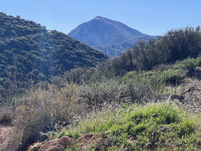
Santiago Peak looked even more beautiful in the distance on the return trip.
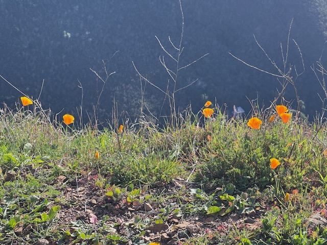
By 2:30 pm I was close to the trailhead, hiking along the poppy covered hillsides, above Silverado Canyon with about a mile to go.
I made it back to the trailhead, and completed the hike just before 3:30 pm, having hiked 14.2 miles with 4100 feet of gain. This was none too shabby of a hike, and a great training hike for my friend’s upcoming Grand Canyon adventure in April. It was training for a future hike planned to Santiago Peak in the next week or so, a warm up, in the same terrain.
I was grateful to get out there and enjoy all this, during the most perfect time of year to visit here. Every hike has it’s season, and perfect time to enjoy it. The longer you’re a hiker, the more you attune to this fact, and plan accordingly.
Winter is by far the best time of year to explore the Santa Ana Mountains which include: Sierra Peak, Pleasants Peak, Bedford Peak, Bald Peak, Modjeska Peak, Santiago Peak, and Pinos Peak. There are also a few other seldom hiked to peaks along North Main Divide, which I may check off when the opportunity arises, including Horsethief Peak and Trabuco Peak.
My goal is to hike to each of the peaks in the Santa Ana Mountains. I have bagged 7 of these peaks so far. The last peak with a trail to it I plan to climb is Sugarloaf, which has been closed since the airport fire.

Things to take note of:
Motocross riders and OHV drivers abound in these mountains, so it is important to keep headphones out, and listen for the sound of engines, when hiking here so your not run over.
If you have a hearing issue, I recommend bringing a friend who can hear cars or bikes approaching, to keep you safe or just stay very aware.
Fire is a regular occurrence here, so continually scouting out alternate exits, if you need to bail is a good idea.
Bring more water than you need, since there are no water sources on this ridge, as is common in some of the canyons. There are water sources deep in some of the canyons, such as Silverado though, but you would have to hike down to them.
Helicopters may be present, since SAR trains here in the mountains frequently. There are multiple helipads along the ridgeline. I have seen many rescues in progress here.
Lastly, expect to be the only person you will see hiking if you venture beyond Bedford to Bald Peak or Pleasants Peak and beyond. You will most likely see a trail runners or two, as this is a popular long mountain run for area ultra-runners.
There is scant phone service along the ridge, so it is not guaranteed.
The trail ranges from narrow to wide, so it is best avoided during times of peak snake activity (Spring to Fall). Also the spring begins, when the grass emerges, and the first flowers bloom which can start as early as January, FYI. The snakes hang out in the shade, but sometimes in the sun, and are toughest to see mid-day when dark shadows are cast.
This place is truly wild, and remote, so it is best to come prepared with the 10 essentials, along with a Garmin.
I hope you enjoyed reading this, and it is helpful in knowing what to expect, should you decide to visit here. Until next time Santa Ana Mountains!
The Essentials
Just be sure to come prepared, bring the 10 essentials, and Pack Out Your Trash to keep the wilderness pristine for future hikers.
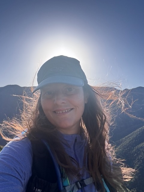
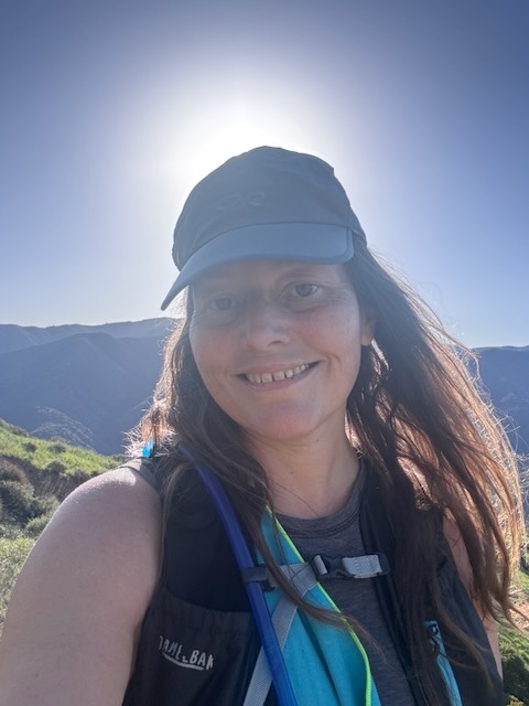
About me
I’m Serafina! I’m a writer and California girl who loves to go exploring. Hope you will get outside today, breathe some fresh air, and be happy!
Like and Subscribe to my Channel!
Follow my Journey @serafinabenjamin
Follow along on My Youtube Channel where I post videos!
Disclaimer:
The work on this blog is my opinion and my opinion alone and I am not responsible for the outcome if someone were to apply these thoughts to their own life. All text and photography copyright 2026 by Serafina, all rights reserved. Information and opinions provided are kept current to the best of the author’s ability. All readers’ usage of the ideas and opinions presented in the blog, are at their own risk. Be aware of the possible dangers of hiking, surfing, walking, cooking, and other activities, which may take place indoors or outdoors. By reading this, you agree not to hold the author or publisher of the content on this web site responsible for any injuries or inconveniences that may result from reading the blog, or partaking in any activity mentioned in the blog. Read the blog, and use its ideas, if you so desire, at your own risk.
