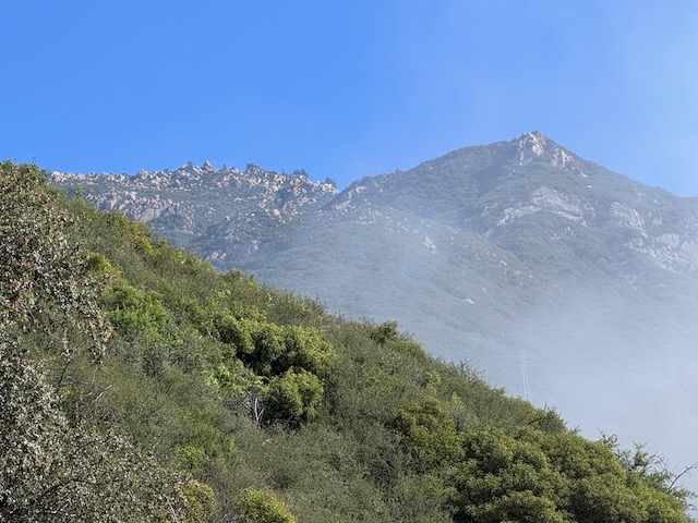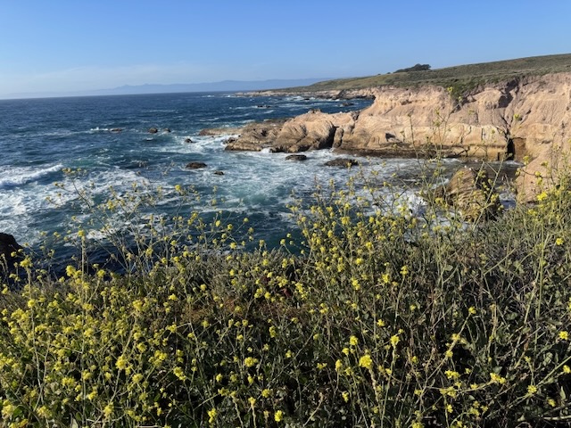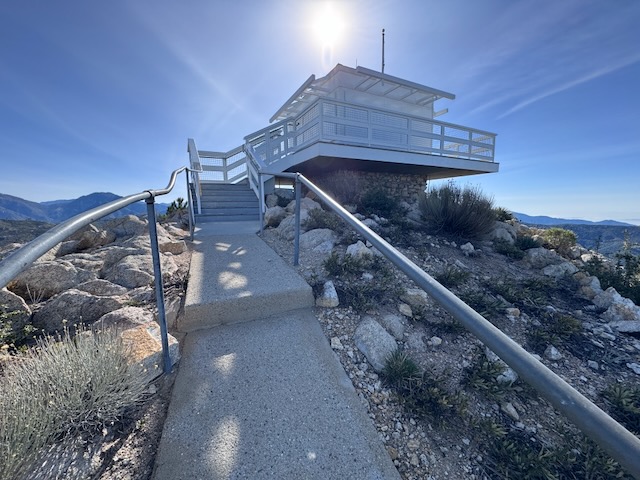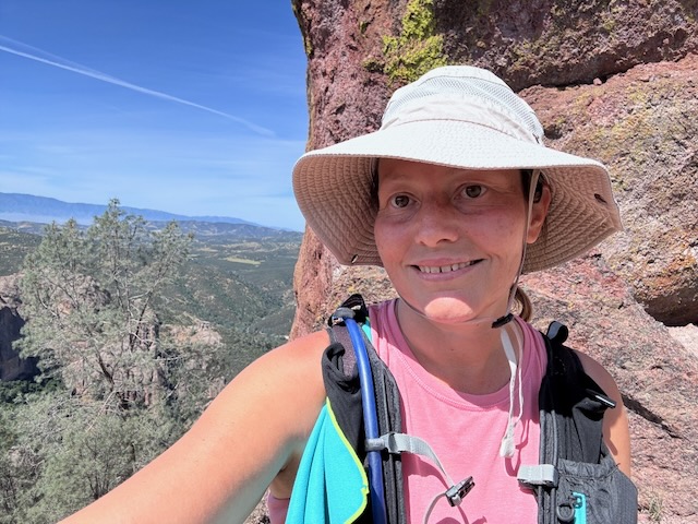
I have been to two other fire towers in socal, the one at Butler Peak, and the one at Tahquitz Peak. There are very few of these historic wooden fire towers left in existence. They are free to visit, if you can make the trek. Some are more accessible than others, and one of these is located on Vedder Mountain, just off SR-2 Angeles Crest Highway, and the Charleton Flats Trailhead. I was considering hiking to three peaks today: Mount Sally, Vedder Mountain, and Mount Mooney. Each of these involves a relatively short climb, so I thought why not combine them together, versus one long hike. Mount Sally was 2 miles, Vedder Mountain was 4 miles, and Mount Mooney was also 2 miles. Together it would be an 8 mile day, except plans changed a bit.
Tag: women outdoors
Hiking a Superbloom: Antelope Valley Poppy Reserve
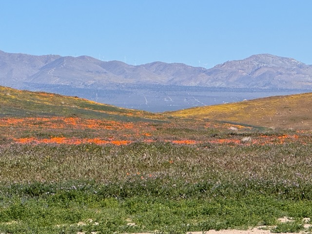
The poppy fields near Lancaster, California, are a place that I've wanted to visit for sometime. They are open from dawn until dusk and there are several hundred acres to explore. Some parts of the reserve are accessible by OHV, along unpaved sandy roads. The best parts of the park are supposed to be down these roads. It was a 3 hour drive to get here, and I left just before sunrise. There are plenty of places you can see poppies in the socal, but the Antelope Valley Poppy Reserve is known to be one of the best. It is situated north of Los Angeles, near Palmdale and Lancaster. It's a beautiful desert area, but not a place most people think of as a getaway, except during the superbloom.
A forgotten desert peak
Indianhead Peak is a desert peak in every sense of the word. It is a place you go to get away from it all, going off the beaten path, and hopefully not get lost in the process. Lost and forgotten, are themes that re-occur throughout this adventure. What is lost is found. All is not lost. Most importantly, all make it back to the trailhead. There is a reason few people hike to Indianhead Peak. There is not actually even a trail. That is the first part of the story...of 8.4 miles with 3700 feet of gain, with 2700 feet of the gain, over the course of a mile. This one is steep in every sense imaginable.
Coyote Peak in Anza Borrego
I drove into Borrego Springs and I made a right through the center of town. I drove around the traffic circle and noticed a farmers market. From here, I drove straight out into what feels like the middle of nowhere. Rego Springs that's one of those places where you feel like you're getting away from it all every sense of the word. Very few stores, homes, or anything here, yet it still hangs on somehow I personally like this little town a lot. I continued onto Sultan seaway. I could see the coyote peak off in the distance illuminated by the morning sun. I wasn't expecting to see an actual coyote, driving up the road to Coyote Canyon. I headed up Rockhouse Canyon Rd. and parked in what looked like a small turnaround, next to a bush. It would be a 6.2 mile hike to Coyote Peak, and there was no trail.
Hiking in the clouds to Mount Lukens
Mount Lukens is a popular hike, located within the LA Mountains, near Glendale. The trailhead has free parking, clean restrooms, and some historic stone buildings. I decided to hike up to Mount Lukens the same day in which a significant rain was to take place, that evening.. I planned to hike early to avoid the rain, and potential for flooding, mud or rock slides with it. I always plan to attempt foothill hikes such as this, climbing mountains 5000 feet or lower in elevation, from December to March, when temperatures are cool, prior to spring vegetation overgrowing the trails.