There is no better time to explore Pinnacles than early spring, after the caves cease flooding, and when all are open, which is usually only a few weeks of the year.
Pinnacles National Park is located in central California, in a rural area between Paso Robles and Monterey. It tends to be warm here much of the year, so weather is a factor in deciding a good time to visit here. Other factors to consider when visiting are Condor Nesting season, which closes the High Peaks, and rain, which closes part of the Bear Gulch, along with Balconies trails.
This unique environment of red rock monoliths formed 23 million years ago. It is one of the most under utilized and underrated National Parks I have visited. Pinnacles National Park has a bit of everything; giant boulders, expansive caves with streams and waterfalls flowing through them, craggy climbing areas, wildflowers, rocky pinnacle spires, rugged canyons, and endangered condors.
Pinnacles Campground
I somehow scored a campground last minute to camp in Pinnacles, and another site in Morro Bay State Park for the way up. This long-awaited trip to Pinnacles National Park was finally on. I was doing a road trip to get there, a 6-hour drive from where I reside in SoCal.
An Early Start
The day began, driving north from Morro Bay along a foggy twisting road at 4:30 am. I had a canned coffee in hand, and knew that was not going to do the trick. I had found a Starbucks, in Paso Robles, open at 5 am, which would be my first pit-stop on the 2 hour drive to Pinnacles. I got a fresh cup of coffee, and some hot egg bites. Time was of the essence if I was going to snag a parking spot at the trailhead, as it fills up fast. I had no idea if I would be successful, but was optimistic.
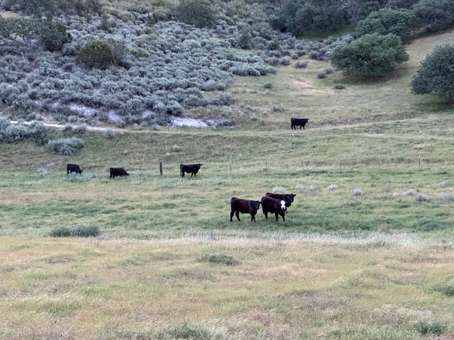
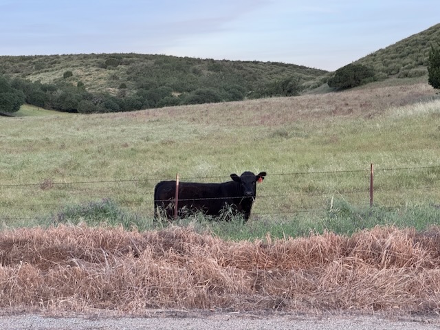
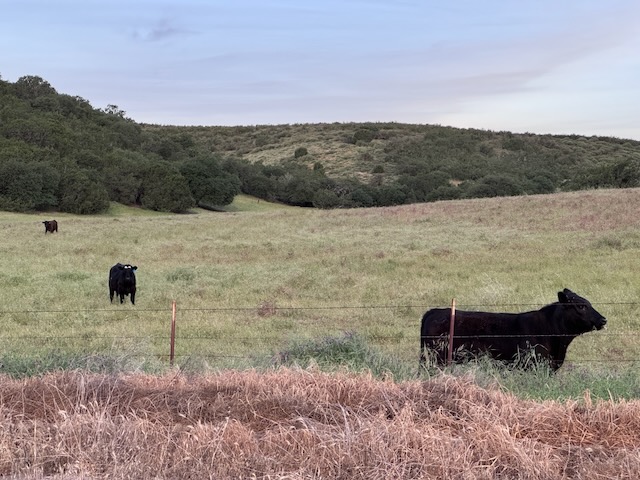
I exited the 101 and headed through an area called Paicines. There were lots of cows grazing along the road as I drove east through the green and rolling hills, a ranching area, dotted in beautiful California Live Oak trees. This is what California is all about, and I felt at home here, despite the dangerously rutted pavement, along Bitterwater Road, which I would drive from King City all the way to CA-25, where I made a left heading north toward Pinnacles. If you can avoid this route, I would. I am not sure if there is a better way to go.
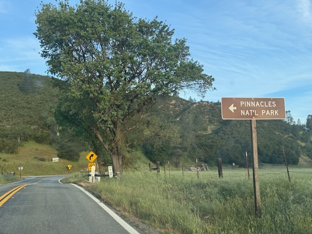
Around 7:30 am I made my way into the Pinnacles National Park drive. It seemed deserted, no line of cars waiting, no cars on the road whatsoever. It felt very isolated.
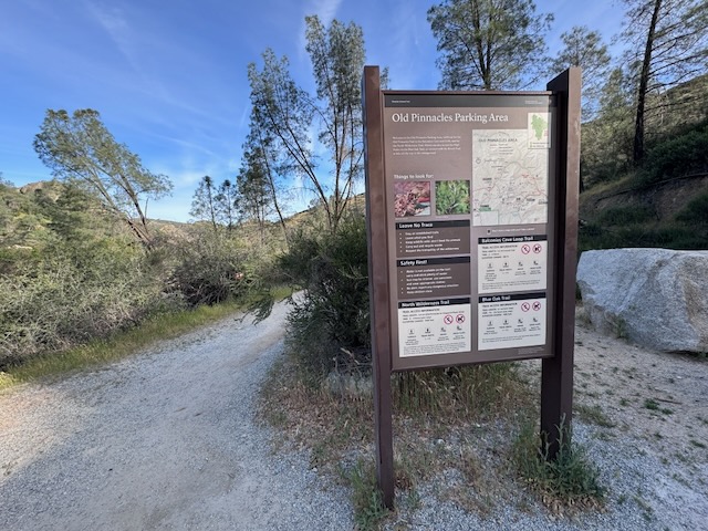
After another 10 minutes, I had driven through the park to the end of the road, to the very last parking area, where the High Peaks and Balconies Loop hike begins. Somehow, there was a spot waiting for me, and just a few more. It was already half-way full, and I breathed a sign of relief. I left from the trailhead around 8:15 am after sorting through my gear for way too long.
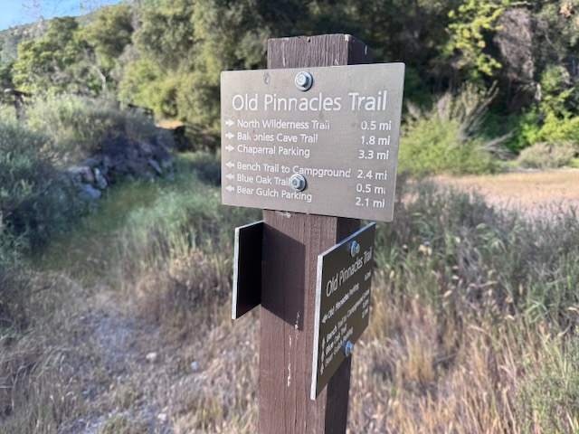
I made a left, heading for the High Peaks Trail along Blue Oak Trail.
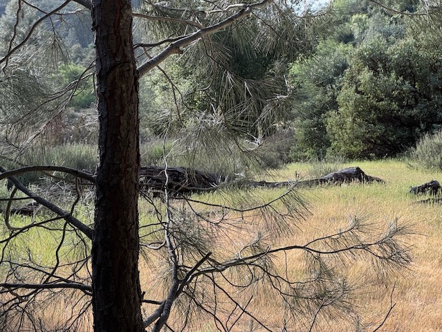
The trail was very woodsy, and the trail was completely empty.
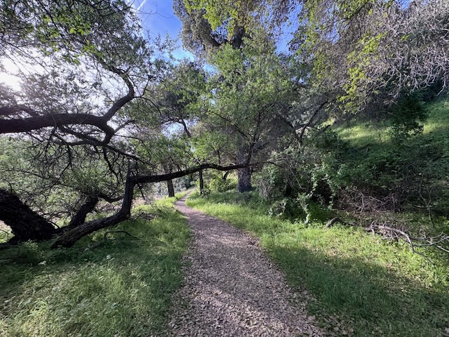
There was plenty of shade here, and I tried my best to keep a steady pace, since I knew it would soon warm up to the 70’s.
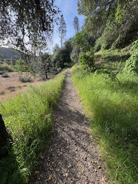
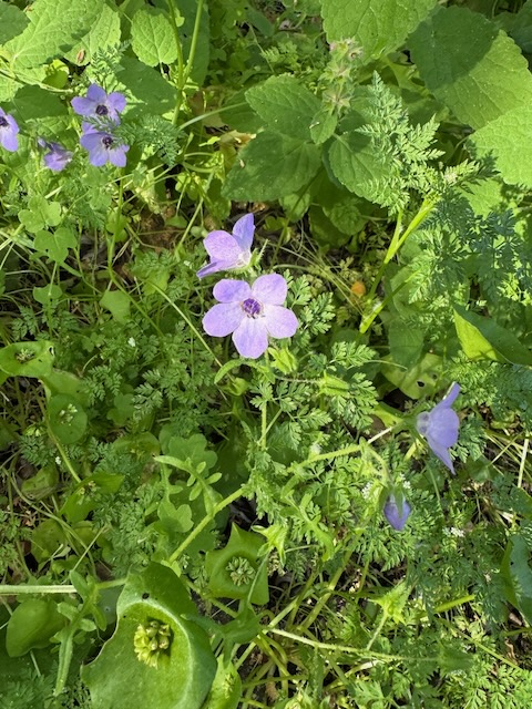
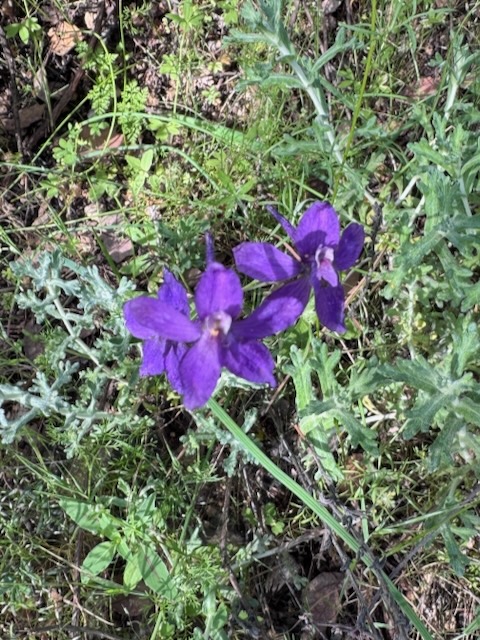
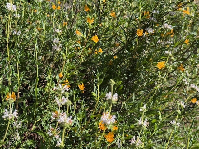
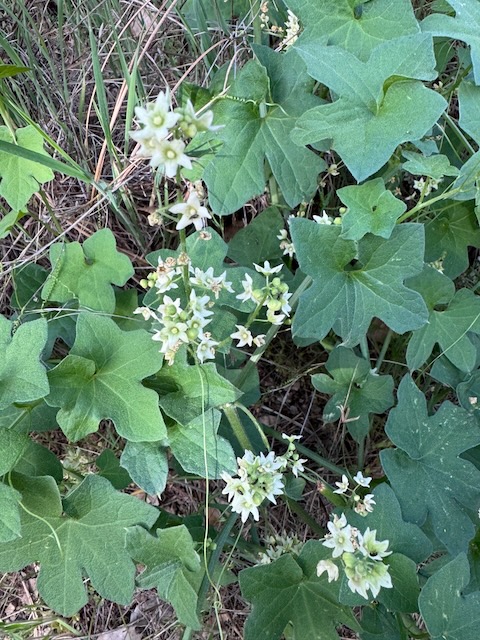
It was springtime here, and there were lush green meadows all around me, filled with wildflowers.
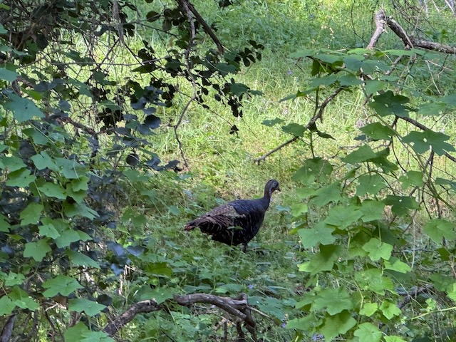
I noticed a wild turkey on the prowl.
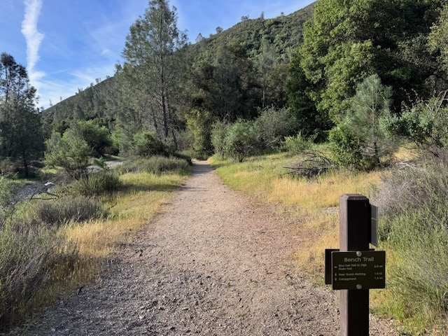
This was also part of the Bench Trail, which leads to the Pinnacles Campground.
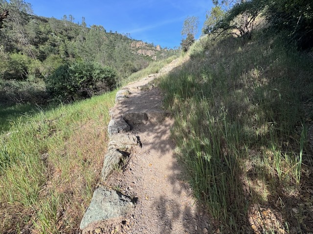
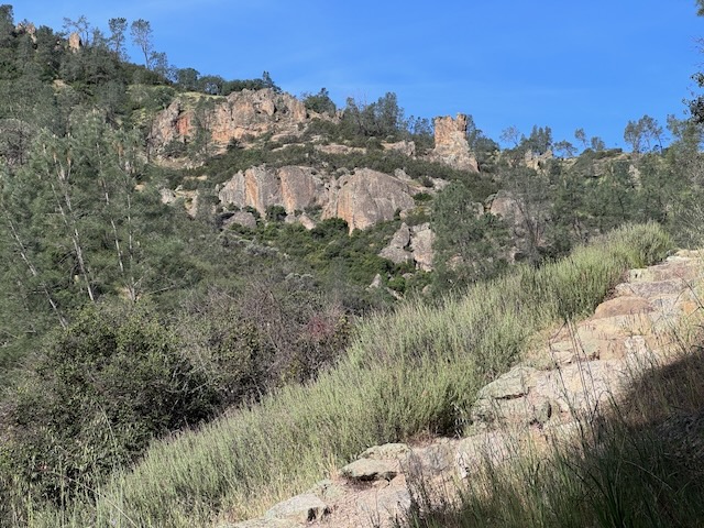
It was almost 9 am, as I began the climb to the high peaks. I could already see some of the pinnacles, reddish colored towers of stone, off in the distance.
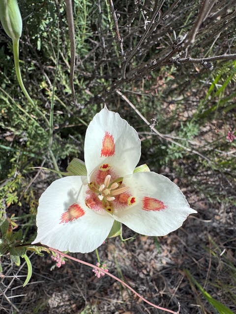
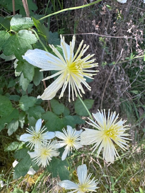
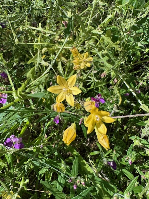
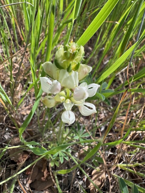
There were lots of new and interesting wildflowers, some I had not seen before, all along the ridge I climbed. There were rare Mariposa Lily, Yellow Star Grass, Dense Flower Lupine, and Chapparal Clematis.
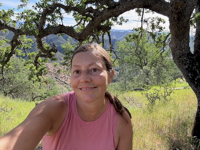
Around 10 am I stopped for a moment in the shade, under an oak tree, had a snack, and enjoyed the views.
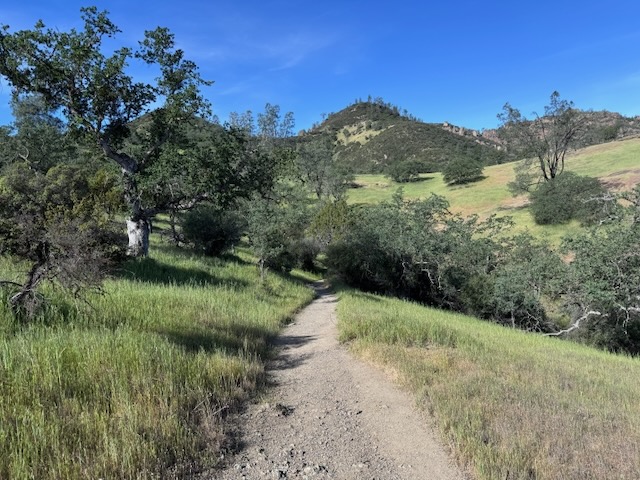
It was lush, green, and filled with meadows along the first series of switchbacks.
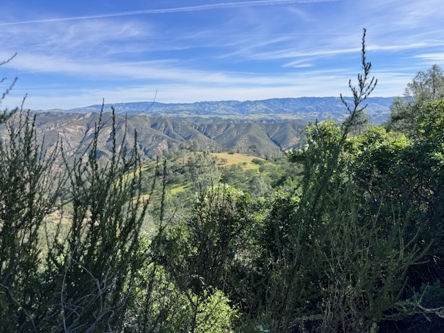
There were expansive views of the Central Valley’s rolling hillsides.
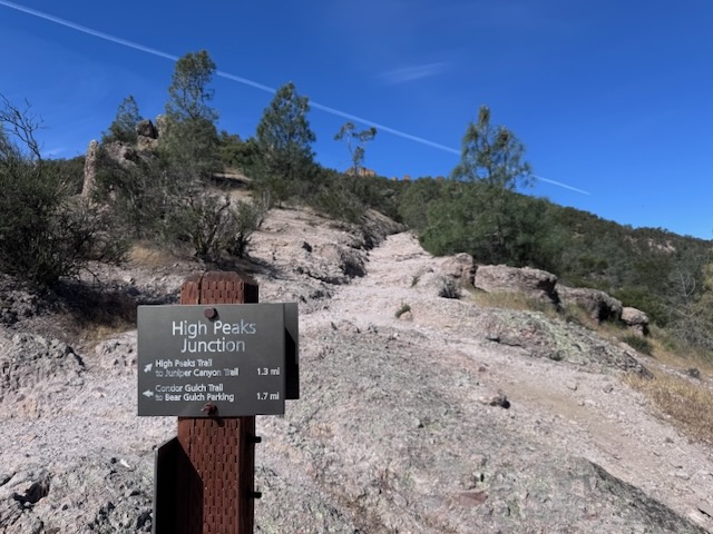
By 10:30 am I had reached High Peaks Junction at Condor Gulch, and stayed to the right.
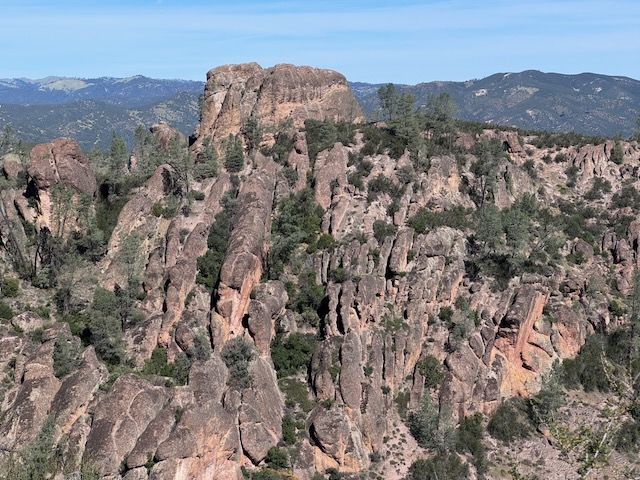
I was closing in on red rock formations, and Pinnacles.
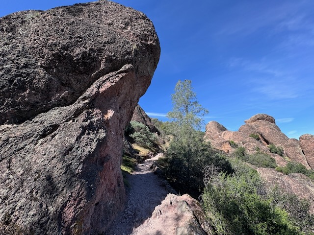
I dub this one wave rock. I got in the curl as I hiked on beneath it.
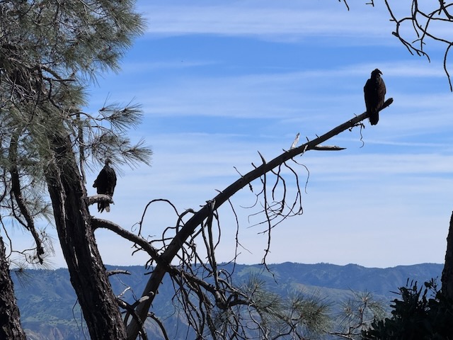
I unfortunately did not get any close ups of the rare and illusive condor (only far off, flying overhead), but got plenty of pics of turkey vultures.
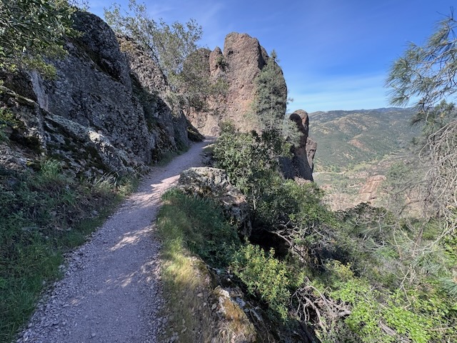
There was nothing technical about the trail so far, but that was about to change.
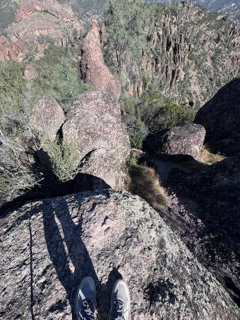

I would be getting in my steps, and had no parachute, so I needed to take my time as I climbed.
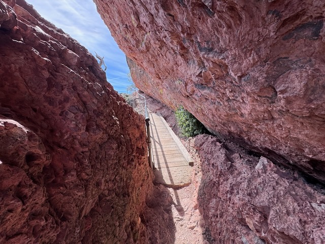
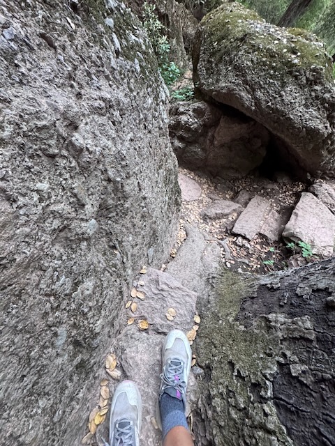
Then I had to hunch on down to make it through this section.
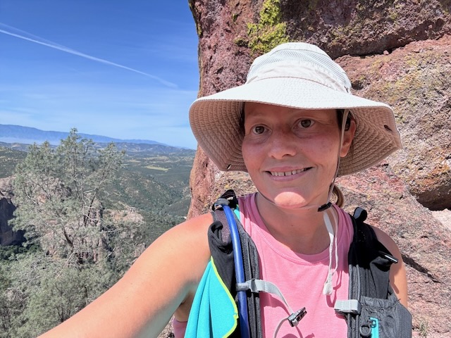
The trail was beautiful, and all the ladders, made it feel like I was playing on a jungle gym. I was glad I started this one early since it was warming up fast and there was no breeze.
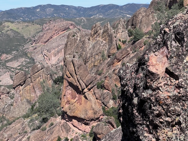
The beauty of Pinnacles was all around, and I would soon descend down the last steep section towards the Balconies Caves.
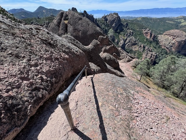
I had now completed the High Peaks portion of the hike, climbing down the last railing, and began heading down switchbacks, towards the Balconies Caves.
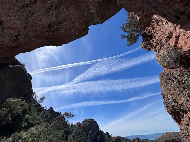
It was 12:45 when I stopped for a short break in the shade in what felt like a cave.
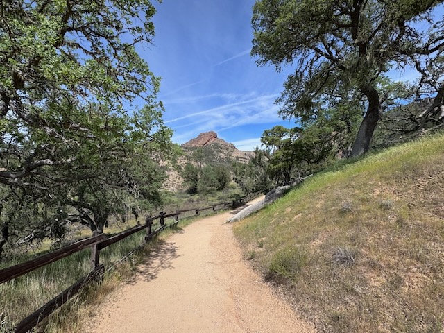
After passing through a shady and woodsy section, it was now 1:30 pm, as I made it to the Balconies parking area. But I still had a ways to go, to get back to my car.
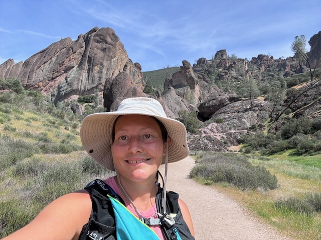
Funny…I had no idea that the Balconies would have no actual balcony. I was about to find out what qualified as a balcony.
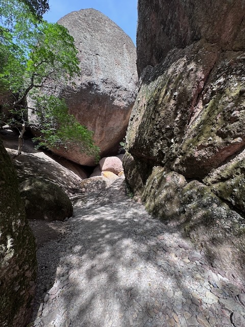
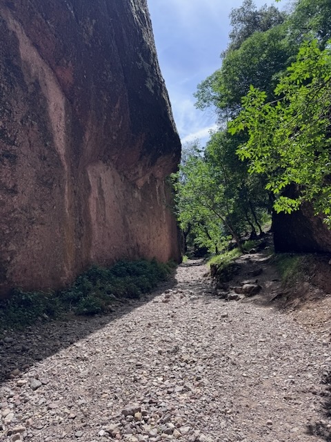
This would be a caving experience, unlike anything I have experienced so far. I have been in a few actual caves in life; Sea caves, a cavern with stalactites, a lava tube out in the Mojave, and a gold mine.
When I think of caves, the hobbit and cold damp places come to mind. Something about it, does not draw me in. I had no idea what was in store past this boulder, but it qualified as a cave.
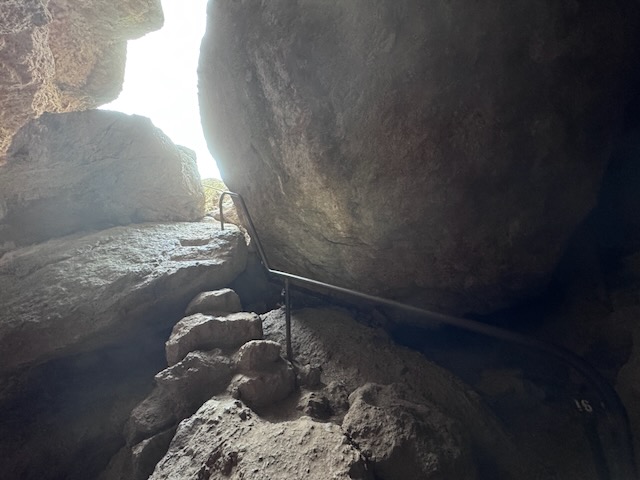
At first glance at this staircase in the rock, I thought this was the balcony.
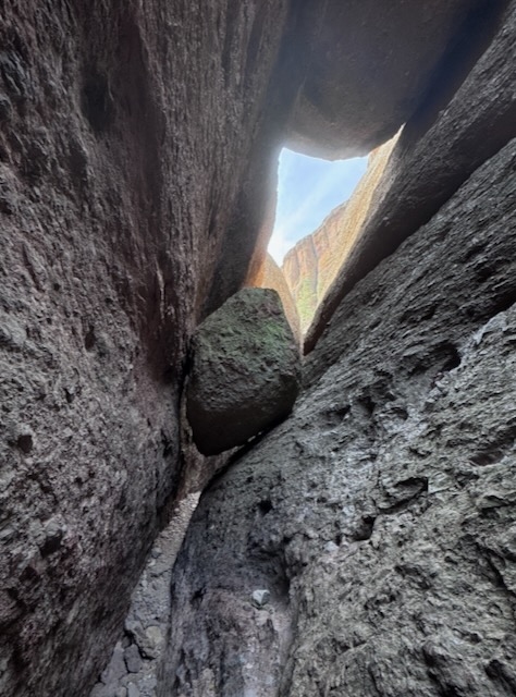
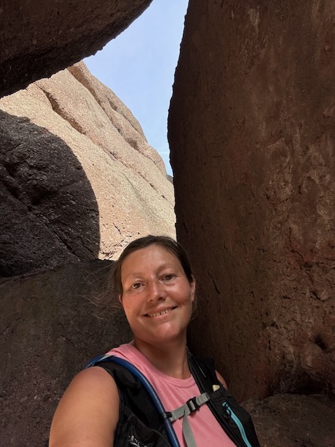
I ducked down and under the bouders, perched above the trail. But then, there would be a dark cavern I was not expecting, which had me second guessing myself. There was an alternate upper trail for the Balconies as well, but it was baking hot out, and I hoped to avoid sun if I could. So I decided I was all in in the experience, and headed down into that dark abyss. It was pitch black in there for a minute. A headlamp is a must on this hike.
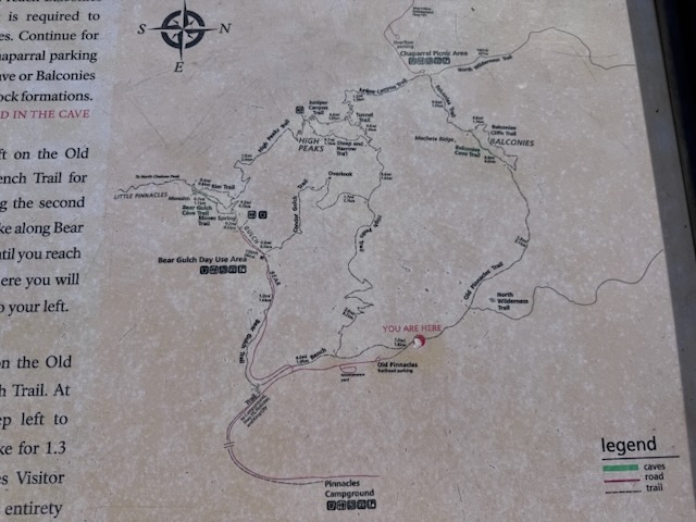
I made it back to my car at the Old Pinnacles parking area by 3:30 pm, and headed to my campsite to check in. It was very warm out now, at the peak of the day, and I decided I needed to hang out in the shade, to take a bit of a break. The campground itself was relatively sunny and exposed, lacking shade at my camp site.
After about 30 minutes feeling overheated at the campground, I decided to check out the other parts of the park, and find a shady picnic area. I drove towards Moses Spring and Condor Gulch, two trails I had bypassed while on the High Peaks Loop. I was curious about the spring and the story behind it. I had already hiked over 12 miles, so I was not sure how much hiking I had left in me.
Moses Spring
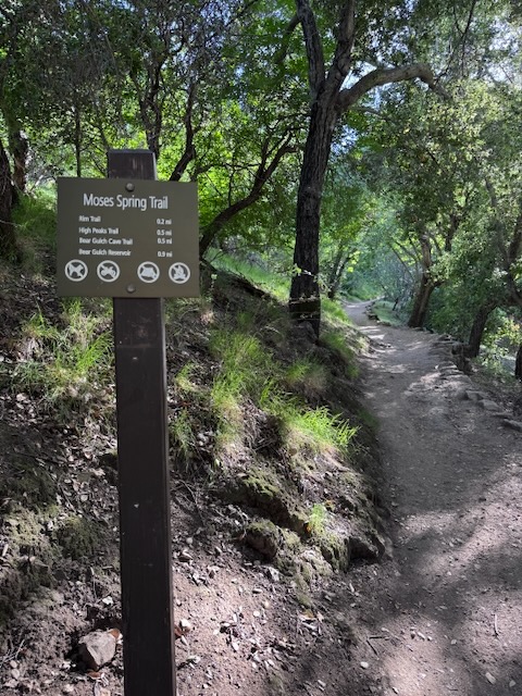
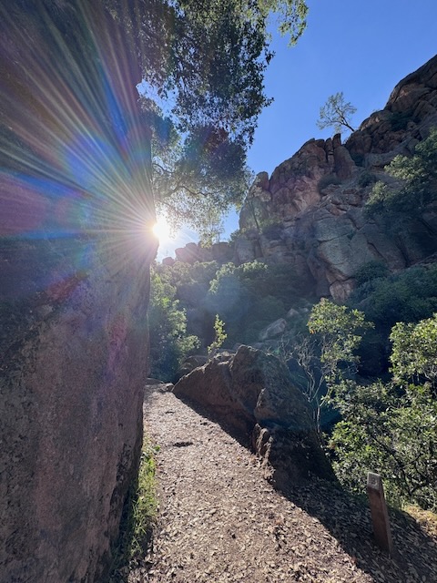
I parked just down the hill from the trailhead in the overflow, and walked along a stream, past some picnic tables. After a short walk in the forest with some slight uphill, I was getting the idea of what this one would be like. It was plenty shady on this trail late in the day. I was not regretting heading over here, versus simmering in the heat back at the campground. The stone of the canyon absorbed head, but also cools fast.
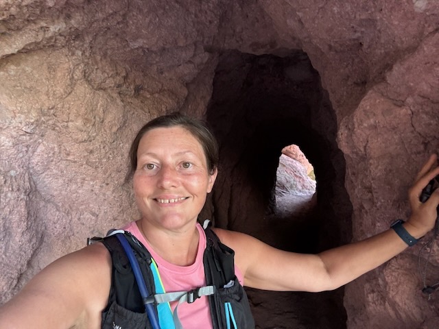
Bear Gulch Caves
The star of this show are the caves here. I had no idea what I would find, and also was unaware there was a rarely open section (that was open), that I would pass through. There are the upper and lower caves to explore, and I would get to experience both.
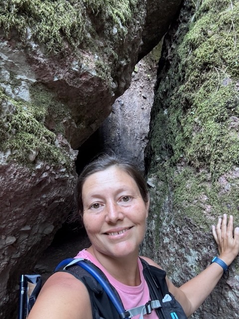
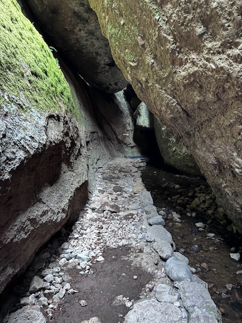
I was getting very comfortable with caves quickly on this day. It was an adventure, and like any hike, I just kept moving, despite the unfamiliarity I was experiencing, being surrounded by giant slabs of rock. There was a stream and a waterfall flowing in this cave. The water flowing through is the reason these caves close after rain, due to flooding. So somehow I was here , just at the right time of year, to experience all this.
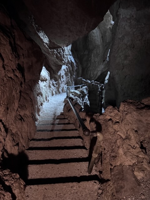
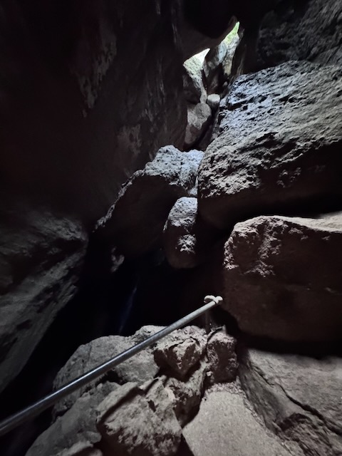
Down, down, down, the staircase I went.
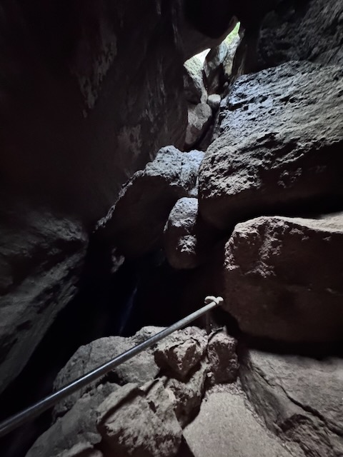
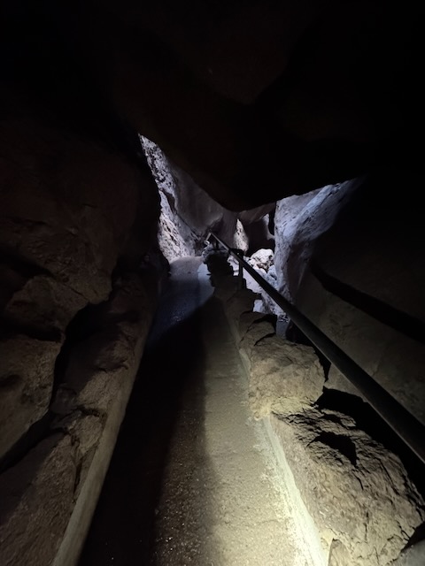
It went on for awhile, and felt like a maze down there.
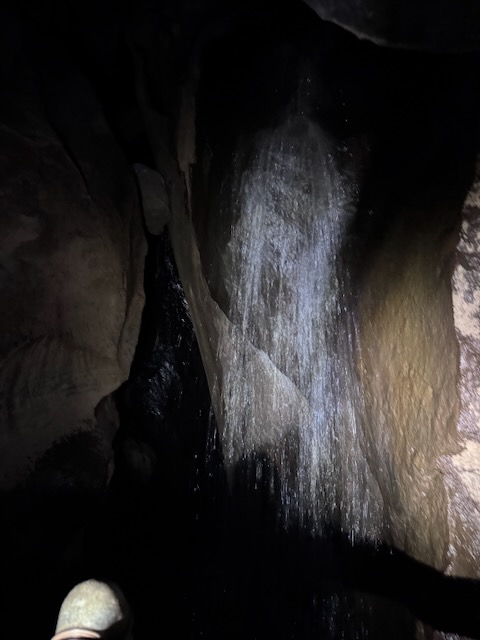
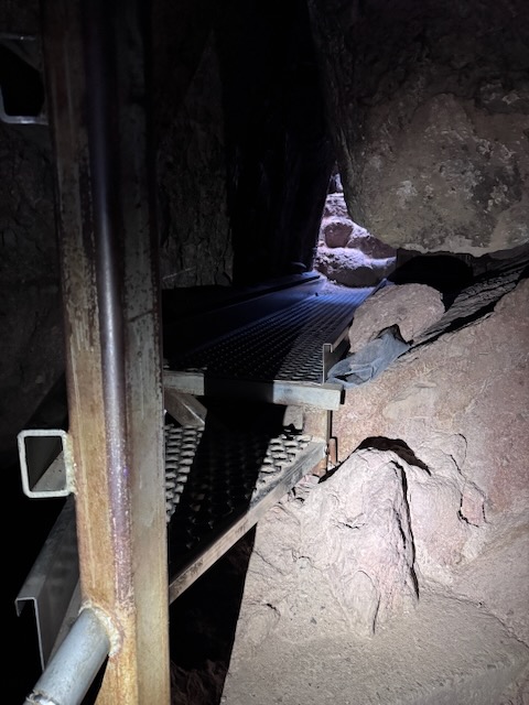
I ended up linking up to the upper cave. At this point, I would be ducking down, and at one point, on my hands and knees, crawling under a rock, following a series of arrows, spray painted on the rocks to find my way through in the dark with my headlamp.
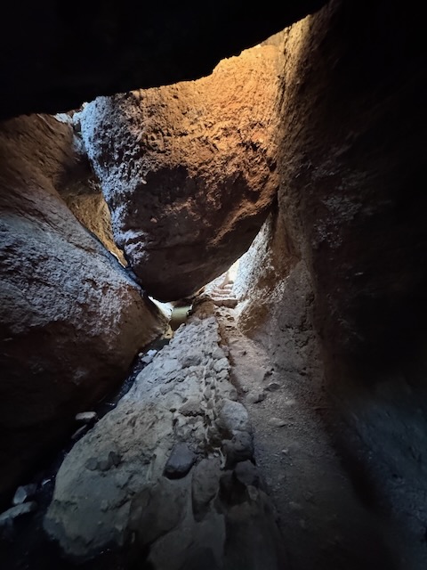
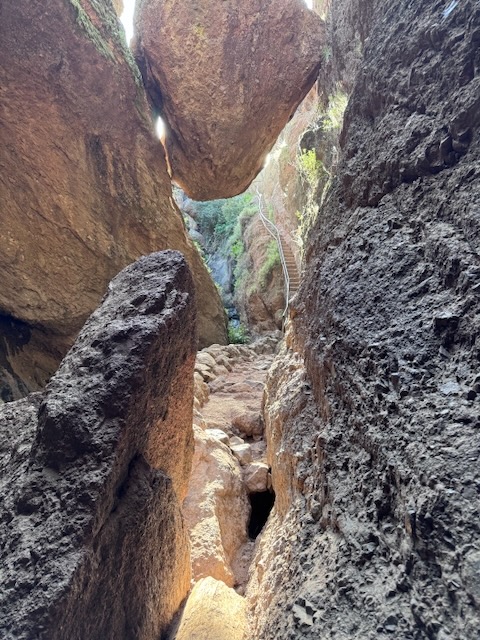
Finally, after about 5 minutes of winding my way through a dark, water filled cave, I emerged. I spotted a staircase heading upward and went for it. Freedom!
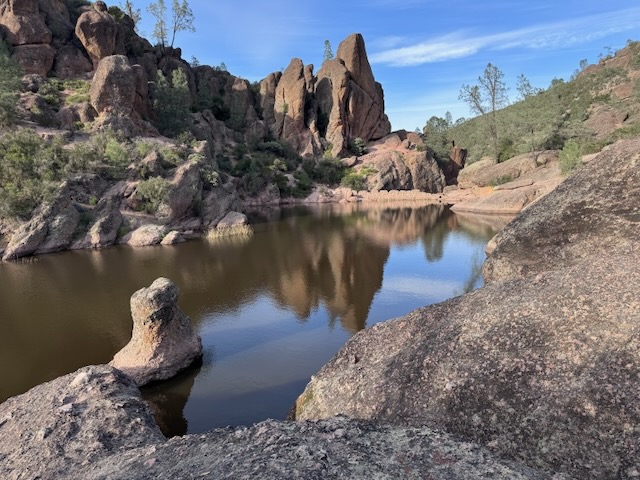
I would end up at the Bear Gulch Reservoir, where I took a short break along the lakeside, contemplating staying for sunset. I decided heading back was a better call, since I did not know this trail well. Caving in the dark did not sound like a good plan. I consulted my map. and noticed an alternate route, which would take me past Moses Spring on the return.
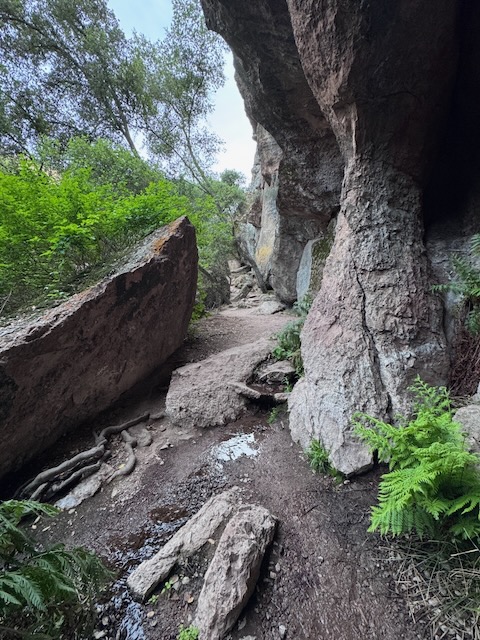
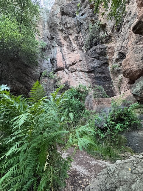
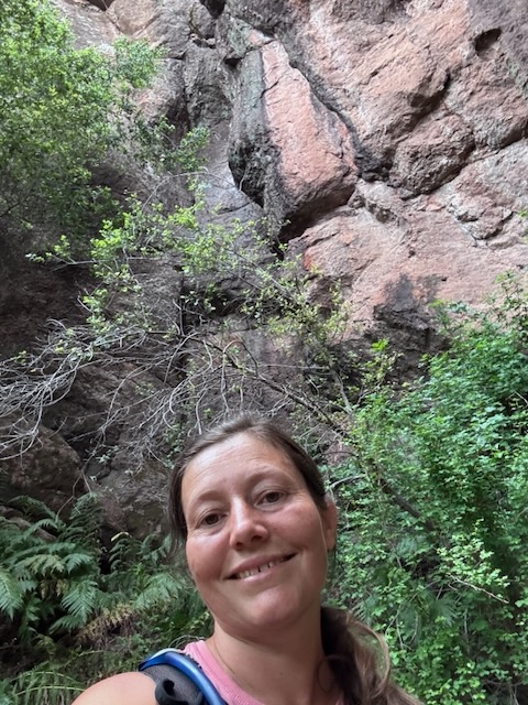
It was around 6:30 pm when made it to Moses Spring, a fern covered oasis of sorts, likely named since water pours from a rock, just as the miracle Moses performed, in biblical times.
Here is the bible verse I am referring to:
“22 Then Moses led the people of Israel away from the Red Sea, and they moved out into the desert of Shur. They traveled in this desert for three days without finding any water. 23 When they came to the oasis of Marah, the water was too bitter to drink. So they called the place Marah (which means “bitter”).
– Exodus 15:22-25
24 Then the people complained and turned against Moses. “What are we going to drink?” they demanded. 25 So Moses cried out to the Lord for help, and the Lord showed him a piece of wood. Moses threw it into the water, and this made the water good to drink. It was there at Marah that the Lord set before them the following decree as a standard to test their faithfulness to him.”
So I continued back to the car at visiting the spring, finishing my long day of hiking by 6:45 pm. I then spent the next few hours at the campsite, and stargazing from a comfy lawn chair. It was so peaceful there at the Pinnacles Campground. I did more than most people would do in a day at the park, checking out all the main trails and points of interest. Still there was more to see, and many more miles to explore here in Pinnacles. But that would be saved for next time.
Conclusion
I had hiked about 16 miles, exploring the most popular trails of Pinnacles National Park, all in a day. I did not have to hike all the trails, but the way it worked out, I was able to make it happen.
This was day 2 of my Central Coast Road Trip, with stops in Santa Barbara at Seven Falls, the Pismo Beach and Santa Maria area with its coastal dunes, scenic secluded coves, the bluff trail in Montana Del Oro, and a campout in Morro Bay State Park.
This was becoming a 3-day road trip jam packed with scenic driving, a bit of sightseeing, delicious food, cave exploring, and of course hiking, lots of hiking. If you road trip with me, 9/10 that is what I am doing.
In the morning I would head back home to Orange County, for Day 3 of my road trip adventure, which would entail another 6 hours of driving, and possibly more hiking along the way. Of course there would be hiking…the question was, where?
I hope you enjoyed reading this, and it is helpful in knowing what to expect should you decide to visit here.
The Essentials
Just be sure to come prepared, bring the 10 essentials, and Pack Out Your Trash to keep the wilderness pristine for future hikers.
About me
I’m Serafina! I’m a writer and California girl who loves to go exploring. Hope you will get outside today, breathe some fresh air, and be happy!
Like and Subscribe to my Channel!
Follow my Journey @serafinabenjamin
Follow along on My Youtube Channel where I post videos!
Disclaimer:
The work on this blog is my opinion and my opinion alone and I am not responsible for the outcome if someone were to apply these thoughts to their own life. All text and photography copyright 2026 by Serafina, all rights reserved. Information and opinions provided are kept current to the best of the author’s ability. All readers’ usage of the ideas and opinions presented in the blog, are at their own risk. Be aware of the possible dangers of hiking, surfing, walking, cooking, and other activities, which may take place indoors or outdoors. By reading this, you agree not to hold the author or publisher of the content on this web site responsible for any injuries or inconveniences that may result from reading the blog, or partaking in any activity mentioned in the blog. Read the blog, and use its ideas, if you so desire, at your own risk.


