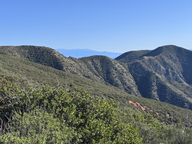
Many Water Crossings Through an LA Burn Area: The Bridge to Nowhere

The Bridge to Nowhere is one of the iconic hikes in Southern California that everyone talks about, so I felt it was something I needed to see. The bridge was built in the depression era in 1937, to connect Wrightwood with the San Gabriel Valley. I arrived at the trailhead for Heaton Flats and set out for the Bridge just before 9am. The sun was just starting to rise as I continued down the wide trail, heading towards the Sheep Mountain Wilderness.

Mill Peak and Exploration Trail

There are a few peaks in the area around Lake Arrowhead, and one of these, Mill Peak, sits at 6657 feet, towering over San Bernardino below. It is located between the small mountain enclaves of Arrowbear Lake and Running Springs. After driving up SR-330, past fire charred hillsides, I eventually made a turn onto Hilltop Blvd. I would park at the trailhead for both Mill Peak and Exploration Trail, located just past the Deer Lick Fire Station, along Keller Peak Rd. I started hiking rather late, around 11 am.

Stonewall Peak and Cuyamaca Rancho in Fall

So this would be my second hike in this beautiful historic wilderness park, and former rancho, with habitation dating back over 9,000 years. It was the home of the Kumeyaay tribe, and seven villages were located here. It would be my second time hiking here. I was coming on a busy weekend in fall. I drove up Hwy-79 and parked at Trout Pond trailhead, not noticing any indication of a need to display a parking pass here. There were about 5 cars parked here, and across the road. I exited my car and was just in awe of the fall colors. It had been unknown to me in planning this hike that the fall colors would be at their peak. I began hiking along the Marty Minshall Trail, heading towards the forest, which was glowing in shades of bright yellow.

2 Peaks in a Day: Mount Lewis and Mount Williamson

I knew this trip to SR-2, may very well be my last this season, and the road past Mt Baden Powell, may very well be closed again. I was headed for Mt Williamson, and potentially was going to extend the hike along Pleasant View Ridge on to Pallet Mountain. That would make it a 10 mile day. But another option lingered in my mind, to check out some of the shorter hikes along SR-2 I had skipped over, such as Mount Lewis. It was my second time driving past Wrightwood, along SR-2 since the fires a year ago. I had been up this way in July, to hike to Mount Baden Powell. At that time, the road was still closed beyond Vincent Gap, but no longer. I could now drive the entire length of SR-2 if I so desired, well past Mount Islip, and onward further.

A 6 mile hike in the Blue Sky Reserve and Lake Poway

Nature and wilderness are a pristine, unpolluted place to find solitude. I have a thing about hiking in and exploring ecological reserves, with their intact natural beauty, native flora and fauna. You can learn the story of a place not just by what is placed there, but from what was there all along, before any development ever took place. Several of these wild places are found throughout socal, and today I was going to explore a new one, exploring 6 miles throughout the Blue Sky Ecological Reserve.