Coyote Peak in Anza Borrego

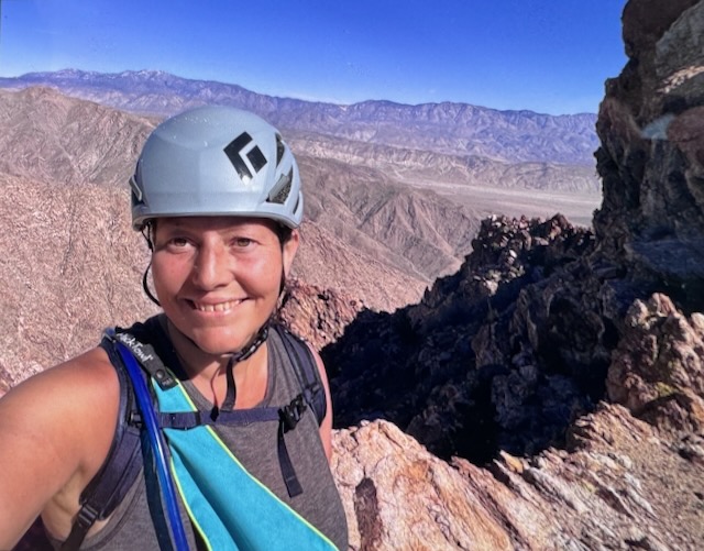
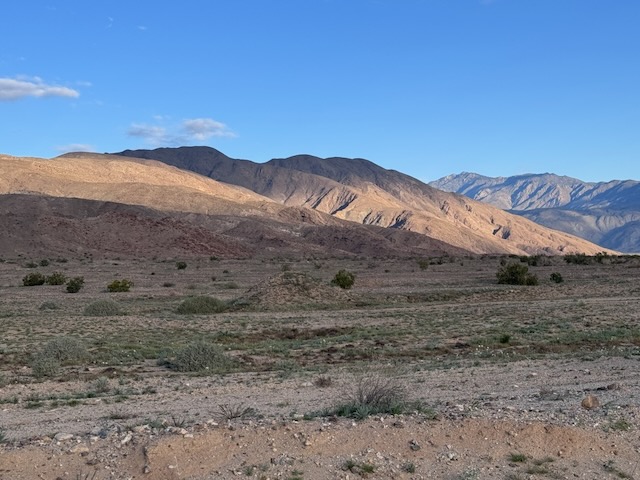
I drove into Borrego Springs and I made a right through the center of town. I drove around the traffic circle and noticed a farmers market. From here, I drove straight out into what feels like the middle of nowhere. Rego Springs that's one of those places where you feel like you're getting away from it all every sense of the word. Very few stores, homes, or anything here, yet it still hangs on somehow I personally like this little town a lot. I continued onto Sultan seaway. I could see the coyote peak off in the distance illuminated by the morning sun. I wasn't expecting to see an actual coyote, driving up the road to Coyote Canyon. I headed up Rockhouse Canyon Rd. and parked in what looked like a small turnaround, next to a bush. It would be a 6.2 mile hike to Coyote Peak, and there was no trail.

Hiking in the clouds to Mount Lukens

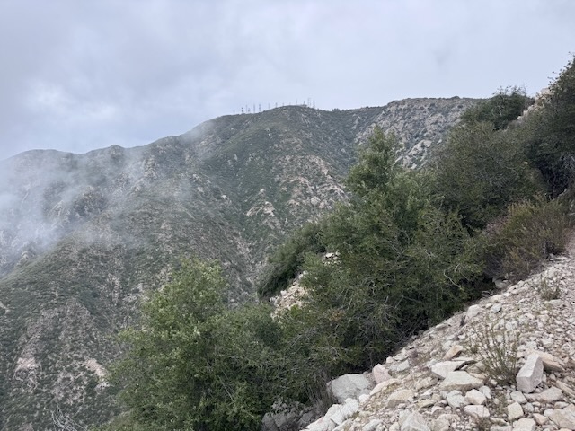
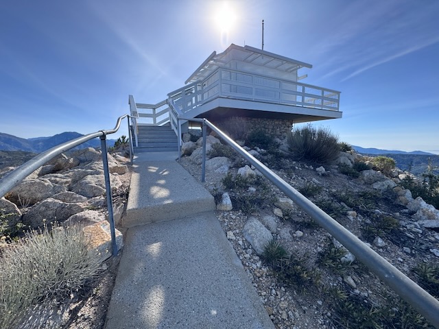
Mount Lukens is a popular hike, located within the LA Mountains, near Glendale. The trailhead has free parking, clean restrooms, and some historic stone buildings. I decided to hike up to Mount Lukens the same day in which a significant rain was to take place, that evening.. I planned to hike early to avoid the rain, and potential for flooding, mud or rock slides with it. I always plan to attempt foothill hikes such as this, climbing mountains 5000 feet or lower in elevation, from December to March, when temperatures are cool, prior to spring vegetation overgrowing the trails.

The Highest 2 Peaks in Orange County CA

This hike was a long time coming, a small goal I had in a big universe. Originally I wanted to hike the Holy Jim trail (14 miles), but it's been closed because of the Airport Fire. This is the highest peak in Orange County where I live. The traditional way to get there is the Holy Jim Trail, which seems like it has been closed for most of the last 10 years, due to weather, and fires. It is opening this year, supposedly. But I have wanted to complete this peak, for so long, I decided now was the time. I was prepared to hike 24 miles if need be. But as events began to unfold it would prove to be a much shorter adventure than I had anticipated.

2 Peaks in a Day: Bedford and Bald Peak

The trailhead to Bedford Peak is located by the Maple Springs Visitors Center, along Maple Springs Rd., an OHV road which leads you from Silverado Canyon, up toward North Main Divide Rd. in the Santa Ana Mountains. I arrived at Maple Springs around 7 am, finding the gate was open so we were able to drive up the road  about 1/2 mile to park by the trailhead. Had there been recent rain, the gate would have been closed to traffic for 48 hours. There are only about 6 parking spots at the trailhead in front of the gate. I was greeted by a bright yellow sunflower, likely sprouted from a stray sunflower seed. Birds drop seeds from feeders, and are the reason you may see non-natives sprouting along the trail. The first mile or so of trail are made up of two long switchbacks through a canyon, dotted in sycamore trees, scattered in early spring wildflowers, shrubs and vines.

Ontario Peak in Winter

Hiking to Ontario Peak in December is unusual for me. I don’t typically hike to peaks above 7000 feet during the dead of winter. Not only can it be hazardous to hike when there is ice and snow, I don’t have a vehicle that does well on roads during these conditions in the mountains, so I don't go. It had been an unusual winter so far, with fall and spring coming simultaneously. The fall leaves were turning golden just as fresh spring grass was emerging in December. Now in January, the wildflowers were emerging, first in the desert, and now in the coastal foothills. Amid all this unseasonal weather, were a series of atmospheric rivers which had served to re-charge the reservoirs, ensuring a fresh supply of water for Southern Californians, causing rivers and waterfalls to flow abundantly, while simultaneously dusting the highest peaks of the LA mountains above 7000 feet in a generous blanket of snow.