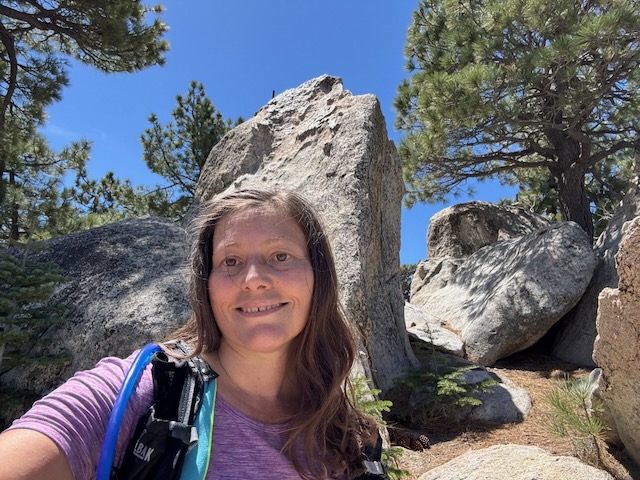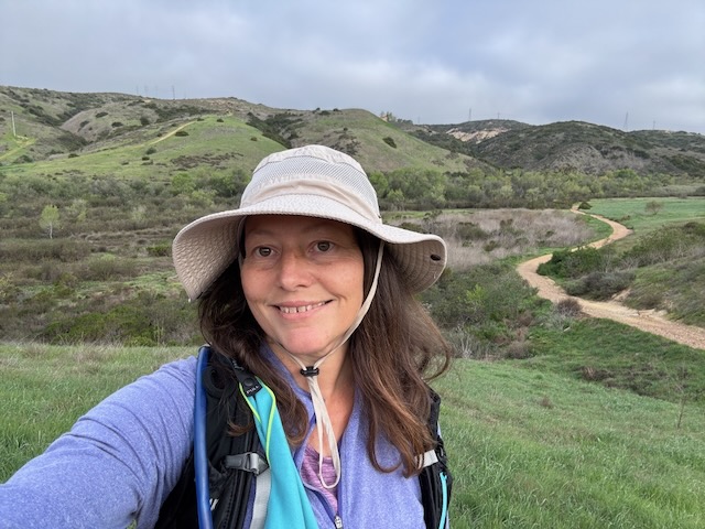
The trailhead to Bedford Peak is located by the Maple Springs Visitors Center, along Maple Springs Rd., an OHV road which leads you from Silverado Canyon, up toward North Main Divide Rd. in the Santa Ana Mountains. I arrived at Maple Springs around 7 am, finding the gate was open so we were able to drive up the road about 1/2 mile to park by the trailhead. Had there been recent rain, the gate would have been closed to traffic for 48 hours. There are only about 6 parking spots at the trailhead in front of the gate. I was greeted by a bright yellow sunflower, likely sprouted from a stray sunflower seed. Birds drop seeds from feeders, and are the reason you may see non-natives sprouting along the trail. The first mile or so of trail are made up of two long switchbacks through a canyon, dotted in sycamore trees, scattered in early spring wildflowers, shrubs and vines.
Category: Springtime Hikes
Waterman Mountain Loop
My goal for today’s hike was to explore the Waterman Mountain loop, that sits within a scenic wilderness area of the San Gabriel Mountains. The trailhead sits along SR-2, the Angeles Crest Highway, and is a bit out of the way. It is well past Chilao Campground, and Mount Williamson, along with most of civilization. The highway had been closed for repairs for sometime, which made visiting here again exciting.
Pacifico Mountain via the PCT
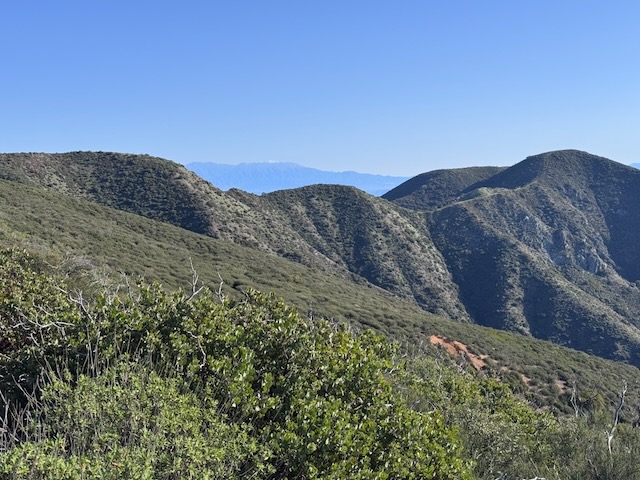
Today I would be hiking another short section of the PCT, bound for Pacifico Mountain, elevation 7104 ft. It was my first time hiking from the trailhead at Mill Creek Summit, to the peak. I knew there were several other peaks, a short distance from Pacifico, such as Granite Mountain, and Roundtop. Hiking to Pacifico Mountain is no easy feat, since it has over 2300 feet of gain. There is a PCT hiker friendly campground right at the peak.
Hiking 12.5 miles to a waterfall, an Old Ranch House, over bridges and streams
Exploring Sturtevant Falls and Spruce Grove
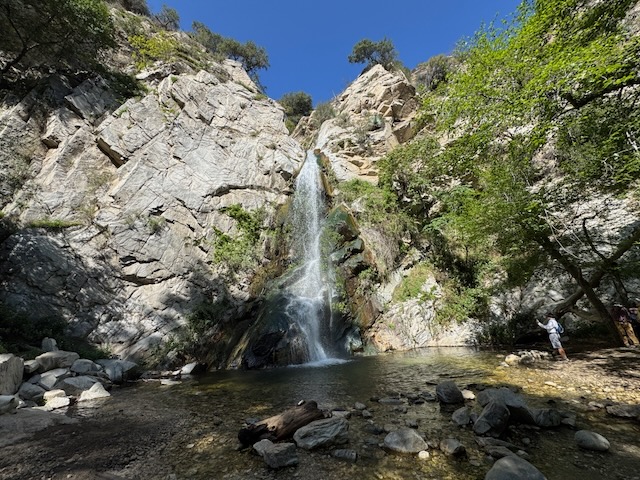
The hike began downhill from the newly opened Chantry Flats parking area. It has been closed since last year, when the devastating fires wiped out the area. The parking area sits around 2150 feet, and the falls sit around 1700 feet in elevation so I would be hiking deep into a canyon along a sun exposed path. There are a series of flood control dams and spillways throughout Big Santa Anita Canyon, along this hike. A man named Wilbur Sturtevant established a trail camp here in 1893. The cabins such as Robert’s Camp and Hogees Camp were built in the early 1900’s here.