
This was my third time hiking this trail, and would be my second time to Sitton Peak, elevation 3270 ft.
I arrived at the Bear Canyon Trailhead at 7am, located to the right of the candy store on Ortega Highway. Many of the trails in this area from Bear Canyon parking area have remained closed since the Airport Fire, including Hot Springs Canyon, Chiquito Falls, and the San Juan Loop. There is parking is alongside the road and I displayed my forest service pass.
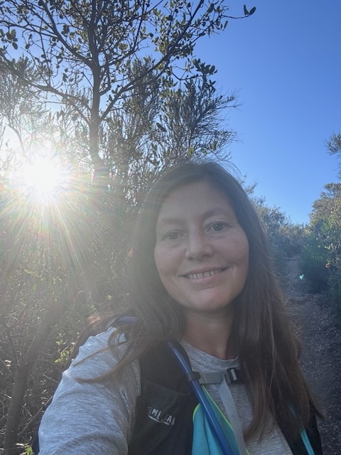
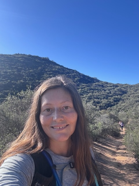
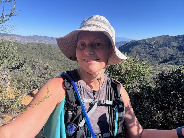
Today I would be hiking with a group of women to Sitton Peak, located in the Cleveland National Forest, near Lake Elsinore.
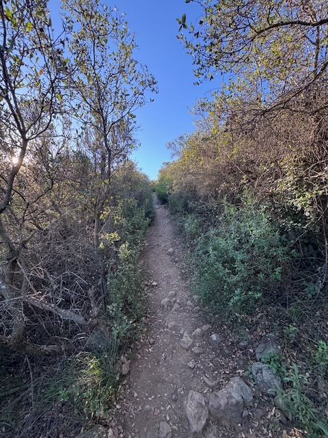
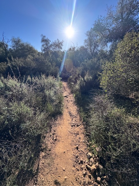
My hike began along the Bear Canyon Trail at 7:15 am. I was hiking along a singletrack. The trail was well maintained, and free of brush, since it was early spring.
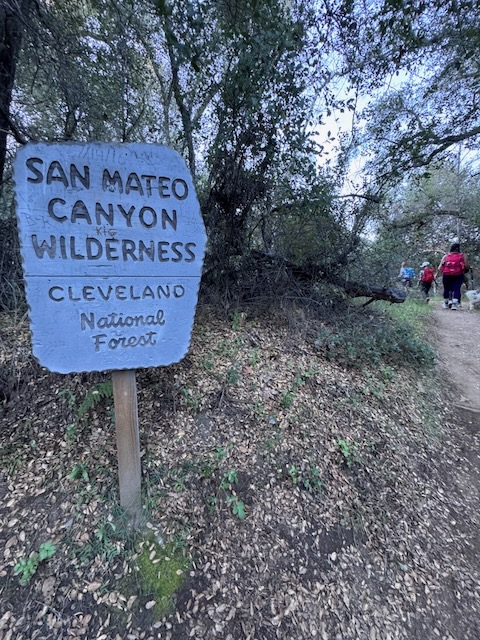
By 7:30 am I had made it to the San Mateo Wilderness sign.
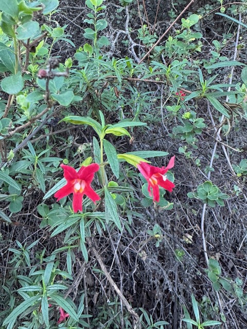
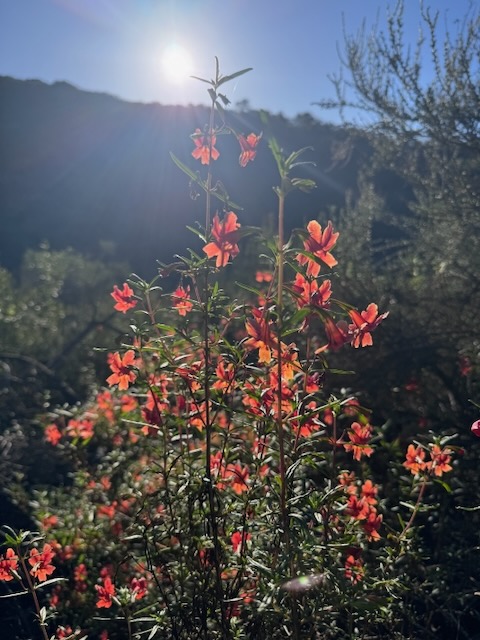
I was encouraged by abundant sunshine, and beautiful flowers, such as this Red Monkeyflower. I noticed multiple wildflowers in bloom, the kind whose petals don’t close at night, since they were all up bright and early.
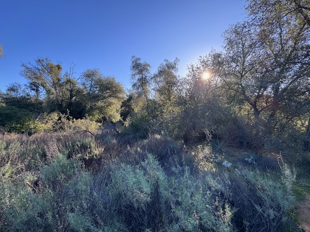
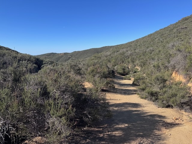
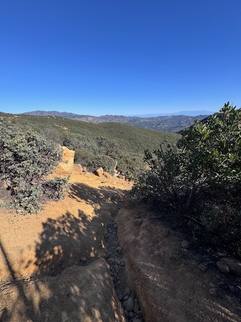
The trail narrowed as I climbed up through Bear Canyon.
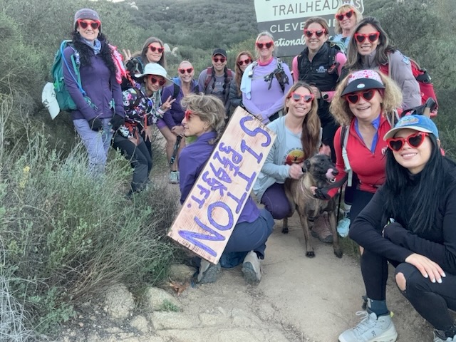
Just after 8am I arrived at a more shady forested area, where we re-grouped, waiting for stragglers. The leader of the hike made sure all fifteen women were accounted for.
I would became the unofficial sweep on this hike. Some days your in a hurry and some days you’re not. I was not feeling very fast on this particular morning. I had not gotten a good night’s sleep. If I had not committed to this hike, I might have slept in. But I was not regretting it.
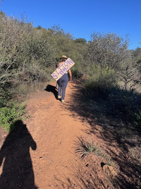
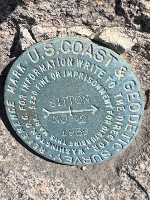
We hiked on to 4 corners, making a right here where Verdugo Trail meets Bear Canyon Trail and Sitton Peak Trail. One badass member of our group, did the hard work of carrying an 11 lb peak sign uphill, all 10 miles to the peak.
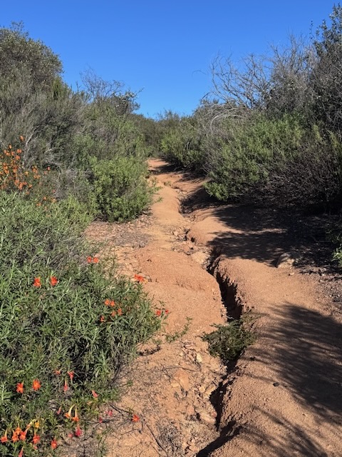
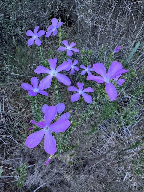
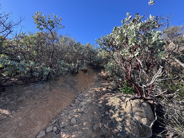
We hiked on and the trail was narrow and rutted, continuing the climb, graced by flowers, as we wrapped our way around Boy Scout Peak (I think it is called) to our left.
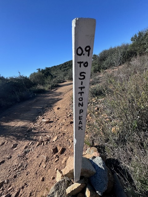
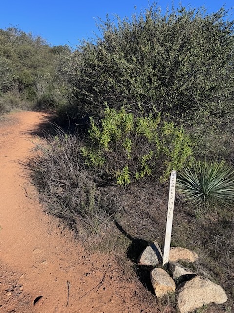
By 8:45 am we made it to the turnoff for Sitton Peak.
The trail continued to climb steadily. Last time I completed this hike, during June, the Chamisa was in bloom, and bees were very active. I remembered that the trail drops down, before the final steep climb, so I was anticipating losing some gain.
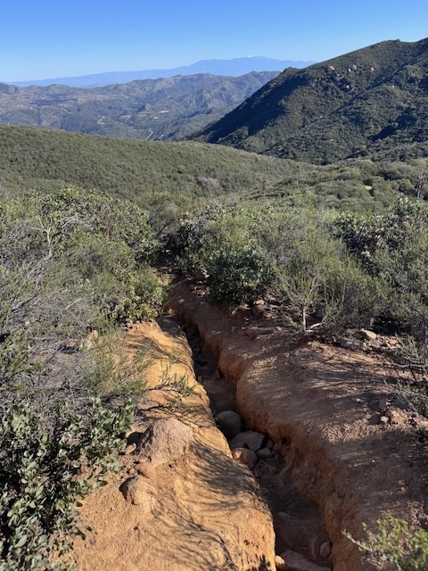
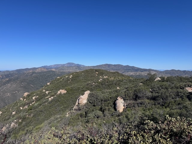
I could now see Sitton Peak up ahead.
The trail continued down again, as we passed this marker for an un-named peak (Boy Scout Peak?).
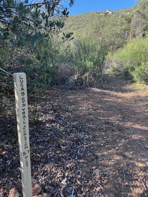
By 9am, our group had made it to the Sitton Peak turnoff, with Lucas Canyon Junction. Continuing on straight would have taken me to the San Juan Fire Station at San Juan Hot Springs, about 8 miles away.
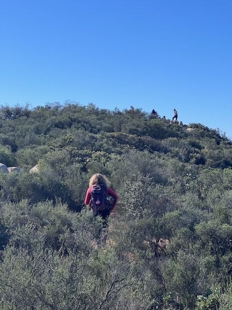
I began the steep last 1/2 mile climb to Sitton Peak, which did not seem quite as steep the second time around. I stopped a few times mid-way to rest on any patch of flat ground, off to the side, which I could find.
It actually only took about 20 minutes this time around to make it up to the top.
Define steep…
It is funny how your standard for what is steep changes, with both the level of your fitness and your experiences. I had recently summited Wildhorse Peak, which has a 1/4 mile section on the way to the peak, which is far steeper than any other trail I have hiked. I also have hiked the Coyote Peak and Villager Peak Trails, in Anza Borrego, which were both very steep. I have not yet hiked Big Iron, by Mount Baldy, known as steepest of all with over 1200+ feet of gain per mile. If you want to get vertical, that is your trail.
By 9:30 am we had made it to the ridge. It had about 20 minutes to climb that last 1/2 mile stretch, if that explains how steep it was.
There was about 5 minutes left to reach the summit, along a flat ridge.
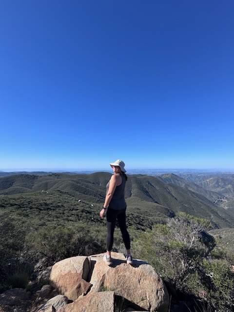
By 9:45, I was standing on Sitton Peak (Elev 3273 ft), for the second time! Summit #2 complete!
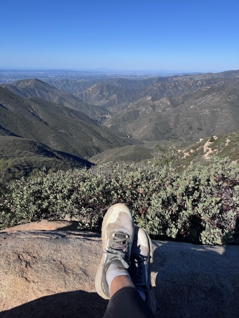
I located the peak marker atop some boulders and we sat around on Sitton Peak awhile enjoying the views, leaving the peak just after 10 am.
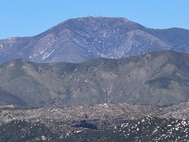
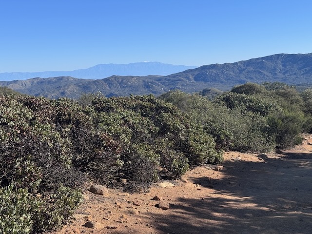
View towards Sugarloaf Mountain and Los Pinos Peak.
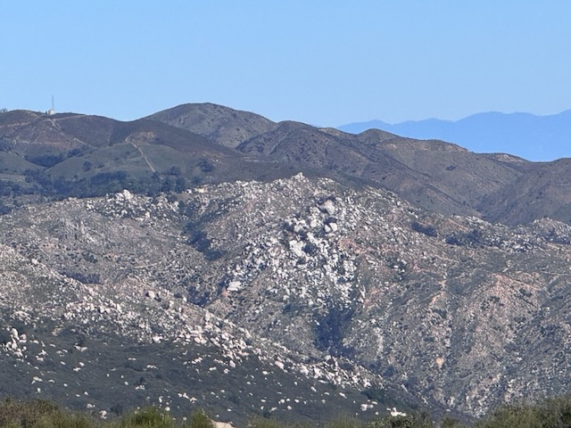
View towards Horsethief Peak and Chiquito Falls.
We made it back to the trailhead around 1 pm, so the entire adventure was just under 6 hours including breaks. We took three breaks along the way, a 5 minute break, a 15 minute break, and one 25 minute break at the peak, with no break on the way back.
Conclusion
When I first hiked Sitton Peak it took a solid 5 hours. I recommend start as early as you can, and to go on a cooler day, as this canyon heats up. Also be aware there are a lot of bees in spring, and flowers. Expect a crowd on weekends, and it to be empty on a weekday here. Both times I hiked here, it was the weekend, and I saw a handful of other hiking parties.
All in all it was an awesome day hiking with a great group of ladies!
Sign Thief ALERT
With peak sign thieves on the loose, the people who do a service to hikers by making these signs have had to get creative. This one is hefty and will last a long time. Stealing the signs is stealing from all the hikers, for your own personal gain or cause. In leave no trace, it says to leave what you find, including cultural artifacts such as signs, a part of our hiking culture, just as valid as any other culture today, tomorrow and yesterday. Leave that sign Karen!
I hope you enjoyed reading this, and it is helpful in knowing what to expect, should you decide to visit here.
The Essentials
Just be sure to come prepared, bring the 10 essentials, and Pack Out Your Trash to keep the wilderness pristine for future hikers.
About me
I’m Serafina! I’m a writer and California girl who loves to go exploring. Hope you will get outside today, breathe some fresh air, and be happy!
Like and Subscribe to my Channel!
Follow my Journey @serafinabenjamin
Follow along on My Youtube Channel where I post videos!
Disclaimer:
The work on this blog is my opinion and my opinion alone and I am not responsible for the outcome if someone were to apply these thoughts to their own life. All text and photography copyright 2026 by Serafina, all rights reserved. Information and opinions provided are kept current to the best of the author’s ability. All readers’ usage of the ideas and opinions presented in the blog, are at their own risk. Be aware of the possible dangers of hiking, surfing, walking, cooking, and other activities, which may take place indoors or outdoors. By reading this, you agree not to hold the author or publisher of the content on this web site responsible for any injuries or inconveniences that may result from reading the blog, or partaking in any activity mentioned in the blog. Read the blog, and use its ideas, if you so desire, at your own risk.
