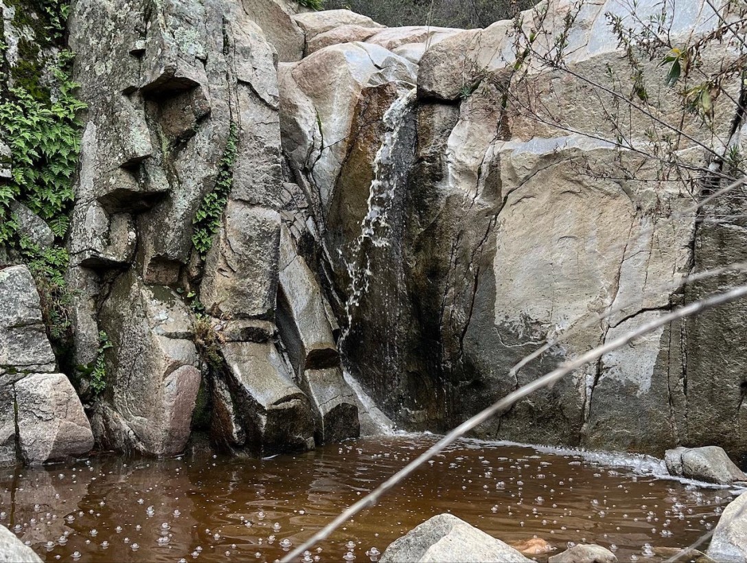
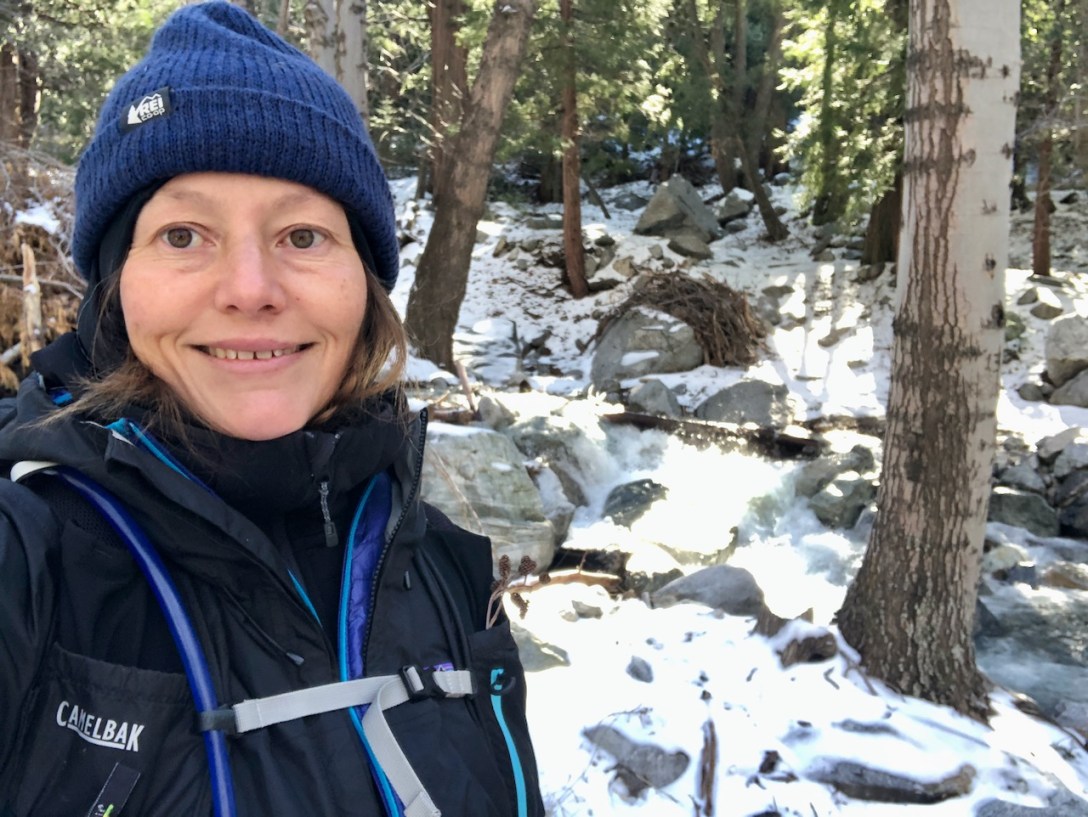
Mount San Jacinto from the Tramway

I would hike 11 miles roundtrip to Mount San Jacinto from the tramway. It was not the first time I had climbed Mount San Jacinto. In fact I had climbed this mountain from Idyllwild once, a year ago, as a birthday present to myself. I love challenging myself, and with the temperatures down in Palm Springs into the triple digits, it was a perfect time to escape the desert heat, on a tram ride.

Weir Canyon Hike

Are you ready for a perfect 3.5 mile hike through wildflowers, oaks, interesting rock formations, with amazing mountain views? Then check out my hiking guide to Weir Canyon, in Orange County, California. It's one of the Best Hikes in OC.

Bernardo Mountain and Piedra Pintadas Trail at Lake Hodges

The trailhead for Bernardo Mountain is in San Dieguito River Park, by Lake Hodges. It's a 3-4 hour hike, and about 6 miles.

Hiking to Castle Rock in Winter

Castle Rock trail is a beautiful scenic trail, amongst Ponderosa pines on the southern side of Big Bear Lake, within the San Bernardino National Forest. It is the most popular trail in the Big Bear area. I would get to experience awe inspiring views of the lake and mountains here in wintertime, on a 2.7 mile hike in the snow.

Hiking to San Mateo Peak Elevation 3591 ft

A 10 mile Loop Hike Via Morgan Trail Quick Facts Located within the Cleveland National Forest https://www.fs.usda.gov/cleveland/ Town/State Lake Elsinore, CACounty RiversideRegion  Southern CaliforniaAddress South Main Divide, Decker Canyon Rd, Lake Elsinore, CA 92530GPS Coordinates 33.633599, -117.382071Google Maps - Morgan Trailhead Parking / Trailhead Parking lot at trailhead visible from roadCost Free Pass Required NoRestrooms NoMileage 4.7… Continue reading Hiking to San Mateo Peak Elevation 3591 ft