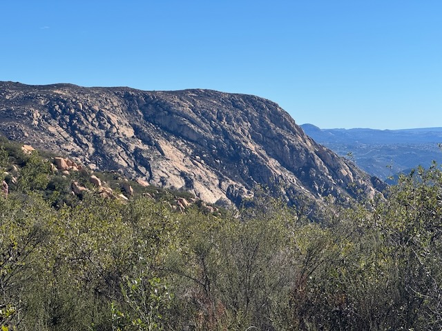
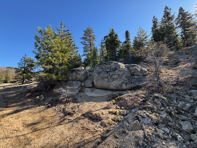
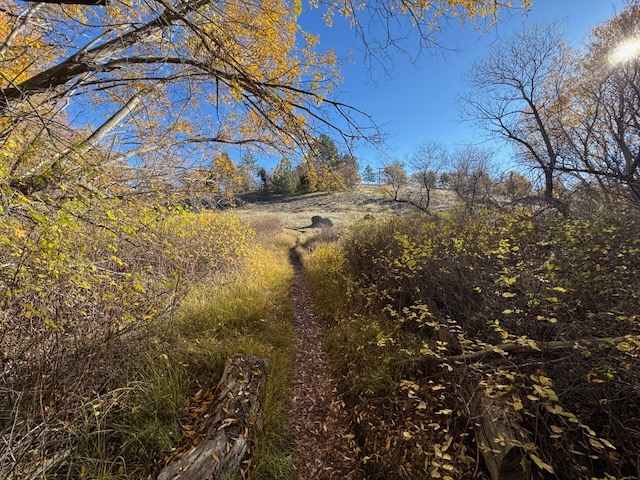
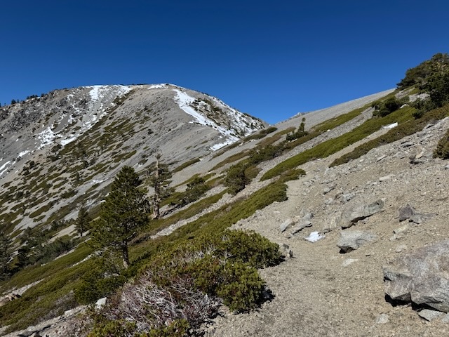
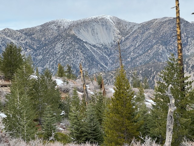
Hiking to Ontario Peak in December is unusual for me. I don’t typically hike to peaks above 7000 feet during the dead of winter. Not only can it be hazardous to hike when there is ice and snow, I don’t have a vehicle that does well on roads during these conditions in the mountains, so I don't go. It had been an unusual winter so far, with fall and spring coming simultaneously. The fall leaves were turning golden just as fresh spring grass was emerging in December. Now in January, the wildflowers were emerging, first in the desert, and now in the coastal foothills. Amid all this unseasonal weather, were a series of atmospheric rivers which had served to re-charge the reservoirs, ensuring a fresh supply of water for Southern Californians, causing rivers and waterfalls to flow abundantly, while simultaneously dusting the highest peaks of the LA mountains above 7000 feet in a generous blanket of snow.
Category: Winter Hikes
2 Peaks in a day: El Cajon Mountain and El Capitan
My hike to El Cajon Mountain (ECM summit) and El Capitan, was a long time coming. I had wanted to hike to these two San Diego foothill peaks for a couple of years. I was waiting for the right opportunity to present itself. The weather and conditions were right, it was the right season, and I was finally feeling up for the challenge, fitness wise.
Mill Peak and Exploration Trail
There are a few peaks in the area around Lake Arrowhead, and one of these, Mill Peak, sits at 6657 feet, towering over San Bernardino below. It is located between the small mountain enclaves of Arrowbear Lake and Running Springs. After driving up SR-330, past fire charred hillsides, I eventually made a turn onto Hilltop Blvd. I would park at the trailhead for both Mill Peak and Exploration Trail, located just past the Deer Lick Fire Station, along Keller Peak Rd. I started hiking rather late, around 11 am.
Stonewall Peak and Cuyamaca Rancho in Fall
So this would be my second hike in this beautiful historic wilderness park, and former rancho, with habitation dating back over 9,000 years. It was the home of the Kumeyaay tribe, and seven villages were located here. It would be my second time hiking here. I was coming on a busy weekend in fall. I drove up Hwy-79 and parked at Trout Pond trailhead, not noticing any indication of a need to display a parking pass here. There were about 5 cars parked here, and across the road. I exited my car and was just in awe of the fall colors. It had been unknown to me in planning this hike that the fall colors would be at their peak. I began hiking along the Marty Minshall Trail, heading towards the forest, which was glowing in shades of bright yellow.
Mount Baldy via the Backbone Trail – Summit #5
This would be Mount Baldy summit #5. It was a cool fall morning in the Cucamonga Wilderness in October as I began my hike to Mount Baldy from Manker Flats around 7:30 am. It was just below 50 degrees out and the weather was perfect. I had no planned eta on this one. However long it takes. However many breaks. If I needed to turn back I would. I was trying to be realistic, and not push too hard on this one. I began heading up Baldy Rd. towards the notch, since today I planned on summiting Mt Baldy via the Devil’s Backbone Trail. It had recently snowed here a week ago, and I had a feeling the snow had melted off along the trail just enough in the past few days, with the warmer drier conditions, to make the backbone trail safe and passable. I brought micro-spikes and a trekking pole for stability on small patches or snow or ice.


