It was a beautiful spring morning in early March. I headed to Chino Hills State Park to enjoy an early spring hike amongst the freshly greening hills. We did not have much rain this past winter, or spring, unlike last year when California had an atmospheric river pass through, wreaking havoc on the trails, home, and lives. But now we were experiencing a year of no rain, and it would not be a poppy and wildflower lovers dream, as it was a year ago and the year before that. I don’t just hike for the flowers though.
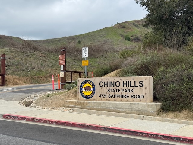
The main entrance to Chino Hills State Park is located inside a neighborhood on Soquel Canyon Road, and there is paid parking along Bane Canyon in the park. If you have a state park park this is a good option, unless you’re here on the weekend, when there can be a traffic jam along this road, and parking fills up.
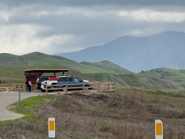
There are several small lots along this paved road, and some larger ones, farther along it, towards the campground.
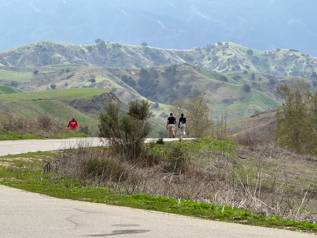
Many people will just walk into the park, and along the paved main road entrance to access the trails. There are several other entrances to Chino Hills around the park.
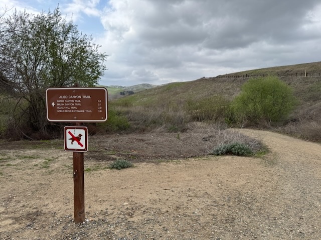
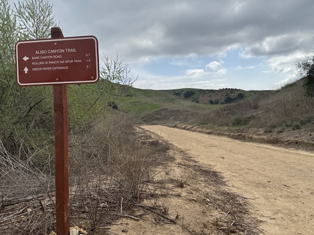
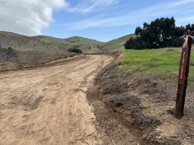
I began my hike today at Aliso Canyon. Being early spring, I considered checking out some of the less popular trails, while they are still not overgrown.
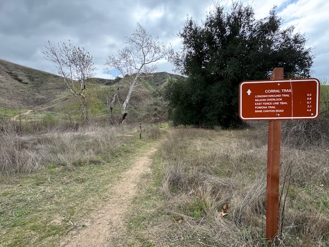
I passed by Corral Trail, which links up to East Fenceline Trail, and considered hiking this one on the way back.
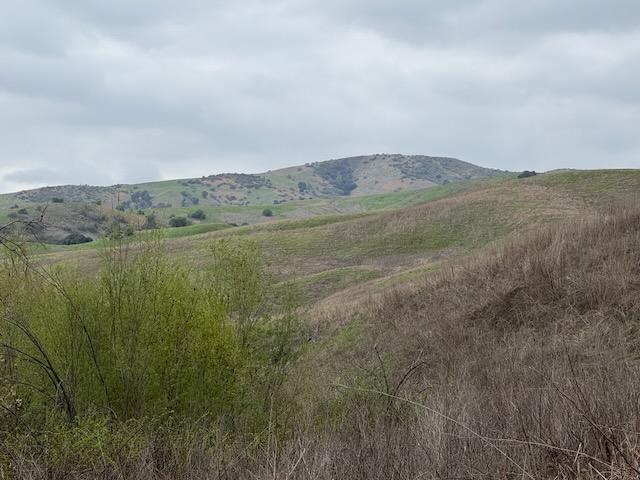
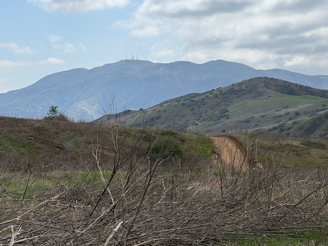
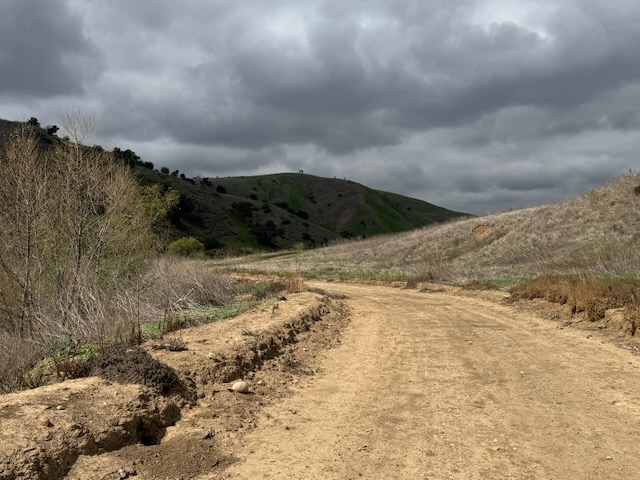
It was overcast this morning, and perfect for hiking. The vibrant rapidly greening hills were more muted, and storm clouds lingered in the air, since a chance of much needed showers was in the forecast.
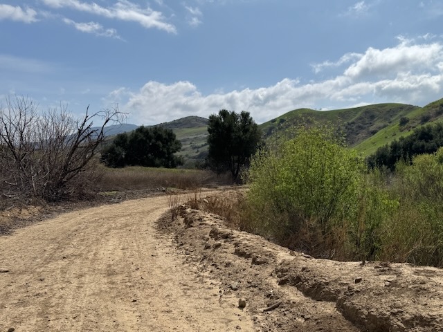
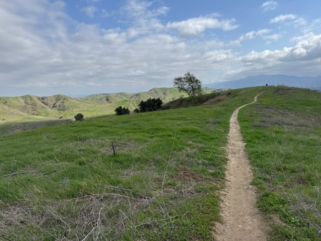
The Aliso Canyon Trail is wide and unpaved, and winds its way between Scully Hill on the right and some unnamed hills to the left. The only named trail I could find is called Powerline Trail, which seemed to link up to Corral Trail near McClean Overlook, so I considered this as a potential loop hike.
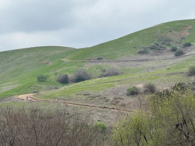
I could see mountain bikers ascending the long switchbacks up Scully Ridge.
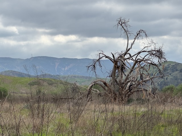
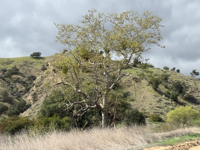
Dad oaks stand like statues, a reminder of past fires here in the park.
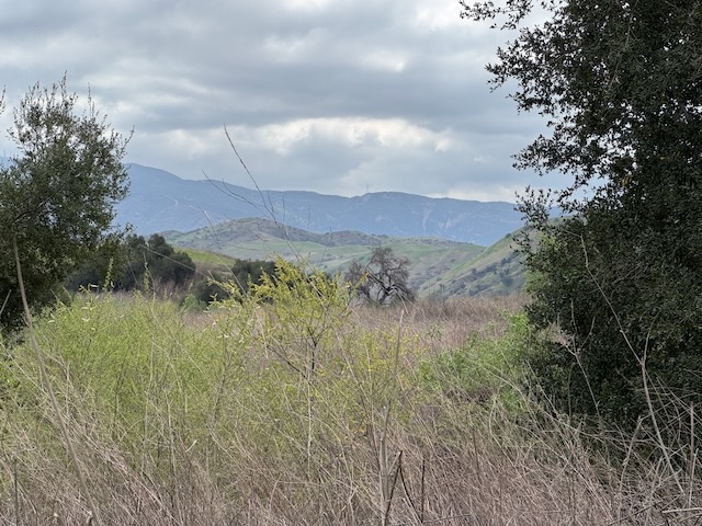
The sun began to peek out through the clouds. When it is overcast like this, I enjoy the muted shades of blue and green, as the mountains fade far off in the distance. I am a painter, and scenes like this remind me to get to work.
I came to another crossroads and continued along Aliso Canyon Trail.
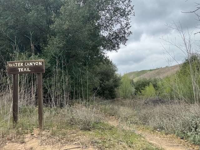
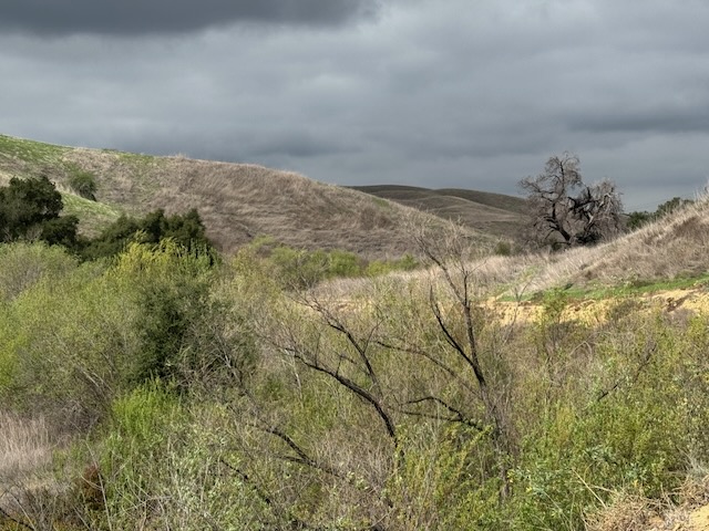
Eventually I reached Water Canyon, a trail which was just sort of dead ends. I decided to explore it a little.
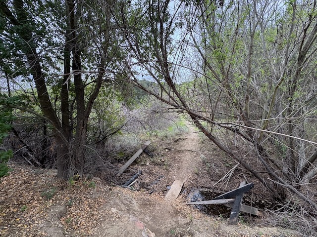
I crossed a creek, and continued through the woods.
I started hiking down a grassy singletrack, realizing this trail was not seeming to go anywhere but along a creek, so I decided to turn back.
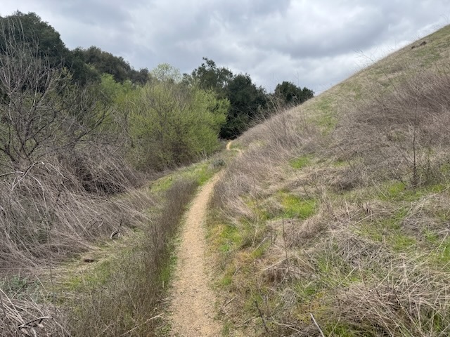
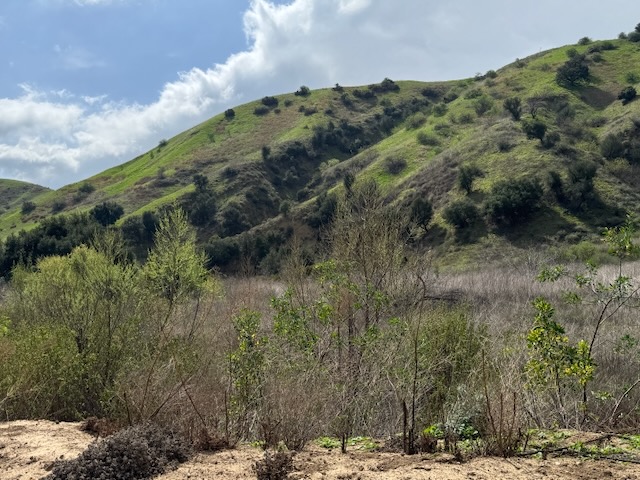
Once back on Lower Aliso Canyon Trail, the hills towering above were such a lush green.
Spring is a time of renewal, of all things, and optimism. I was definitely feeling this way, hiking along, because it felt good to be out here, breathing fresh air.
Off in the distance, Sierra Peak loomed high above at 3045 ft.
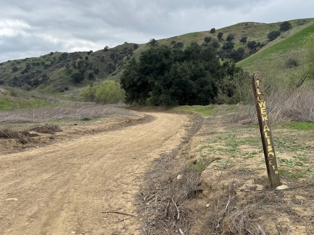
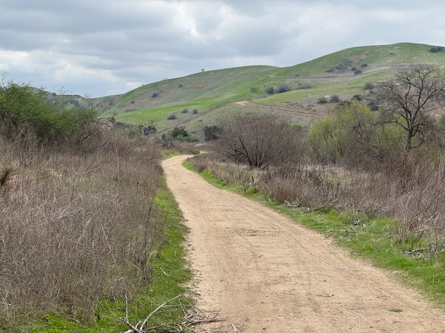
The trail is relatively flat much of the way, and there is a point where it splits off, and you can choose to hike closer to Scully Ridge, or stay on the main trail.
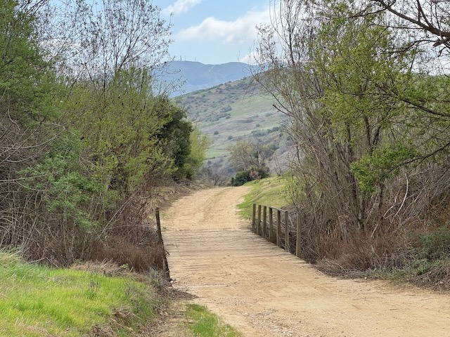
I went off the right, near Scully Ridge, and crossed over a wooden bridge.
At this point, the blue sky came into view, and I knew it would warm up fast, if it did.
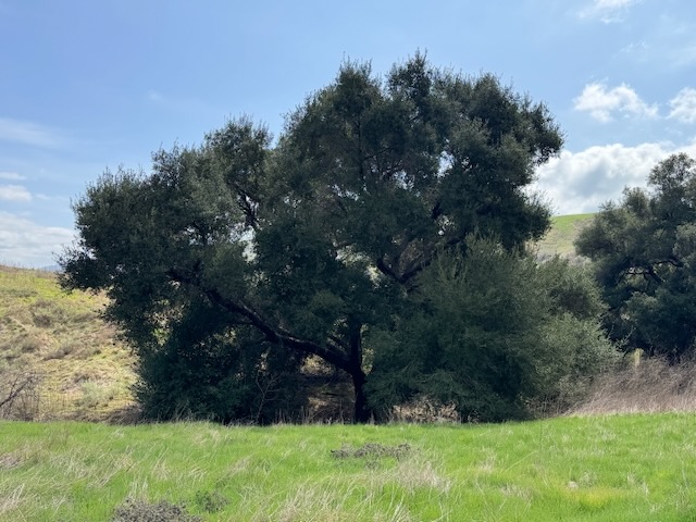
So many beautiful oaks such as this are found throughout the park.
It started to warm up, but I decided to hike on a bit further, considering where this hike was taking me.
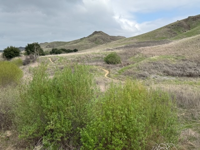
After briefly considering hiking the unnamed trail, that might link up to Corral Trail, I turned back. I opted to hike back along Aliso Canyon, the way I came.
The bright light shone down on Chino Hills, and everything was suddenly in full color.
The oak studded hills were not a perfect shade of green.
It started to feel warm out, and so far I had hiked just 4 miles. After considering where to go next, I decided on Bane Canyon, one of my favorite trails.
There are many of these beautiful Sycamores, with pale grey bark, throughout the park.
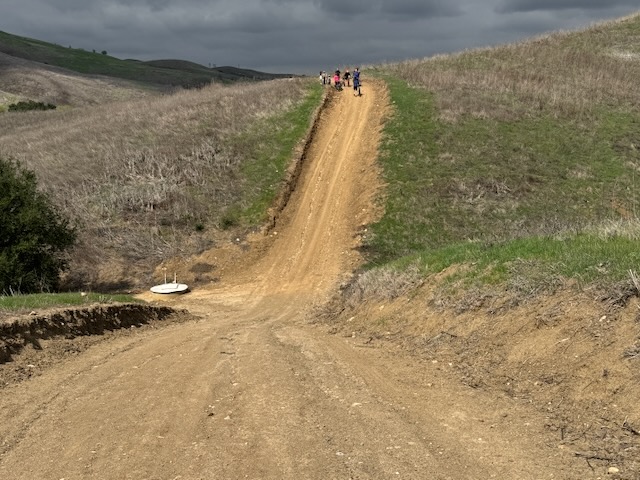
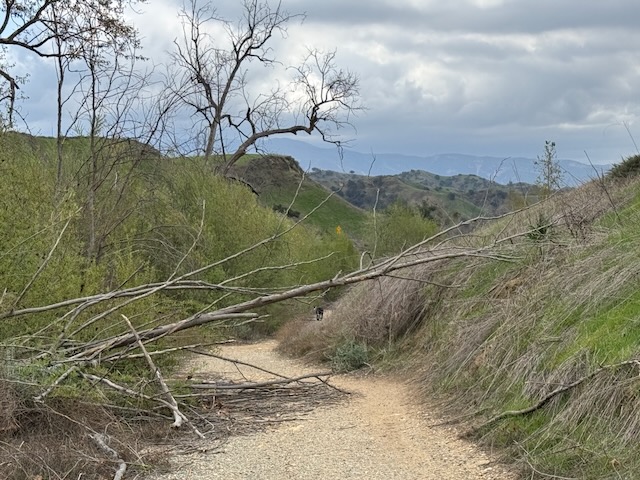
On the way back, I took the main trail, and encountered this steep dip in the trail.
It seemed like the sunshine might be short lived, as clouds closed in once more.
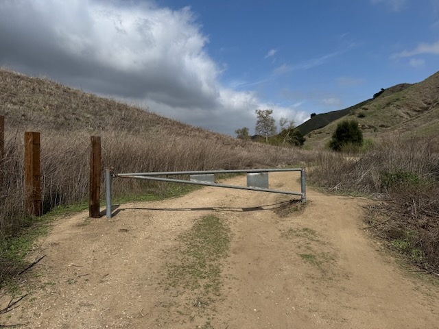
I passed through this gate, would cross the paved road, and cut over to Bane Canyon.
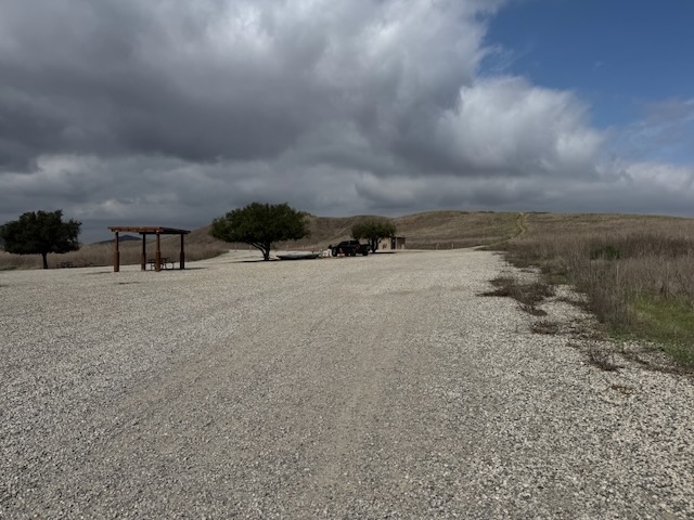
There is a horse trailer parking at the foot of the trail to Bane Canyon. At the start, it felt empty, and I wondered if I would have it to myself.
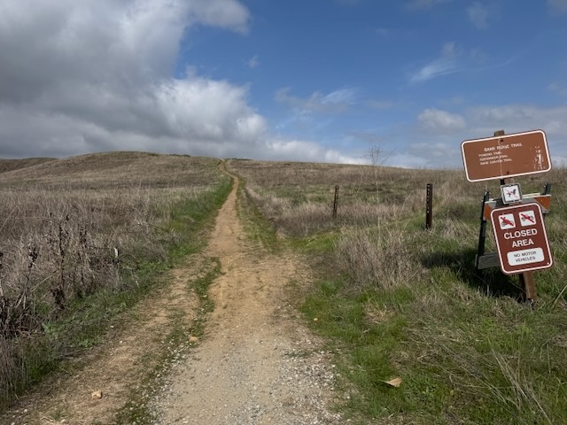
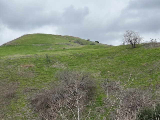
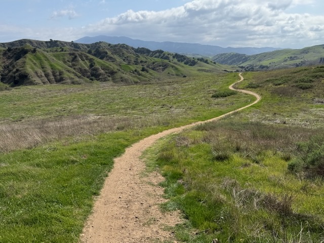
The climb up Bane Canyon Trail to the high point, where there are powerlines, is somewhat gradual as it climbs about 500 feet in 2 miles. You can hike the entire trail as a loop, which is about 6 miles.
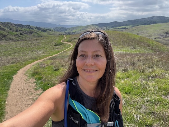
I love this trail, mainly because of the great views, and the chance of spotting some poppies, since they are known to grow along it, during spring.
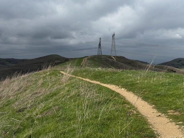
I could see the powerlines, but no wildflowers to speak of.
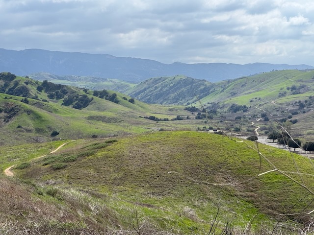
This trail gives a nice 360 degree view of the entire state park.
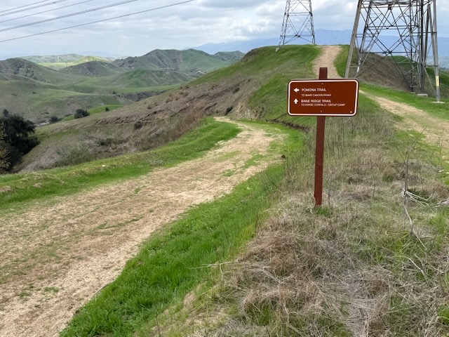
I reached the high point, and Pomona Trail, and decided I would take it back to the canyon.
Once back down Pomona, there is a trail, which runs along the creek and the main road through the canyon. It has a few stream crossings, and some shade, which I took back to my car.
My Stats
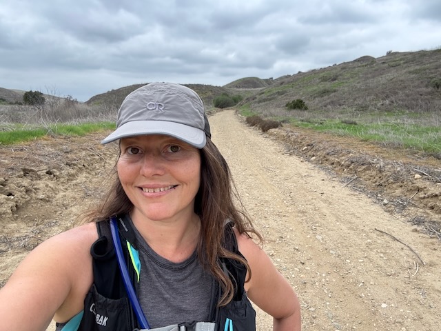
My hike today was 7.5 miles, and was a more leisurely hike. I was not looking to challenge myself today, just to get moving, breathe the fresh air, and soak up the springtime. Until next time Chino Hills.
I hope you enjoyed reading this, and it is helpful in knowing what to expect, should you decide to visit here.
Leave No Trace
Just be sure to come prepared and follow Leave No Trace principles to keep the wilderness pristine for future hikers.
Like and Subscribe to my Channel!
Follow along on My Youtube Channel where I post videos!
About me
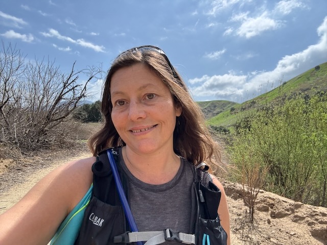
I’m Serafina! I’m a writer and California girl who loves to go exploring. Hope you will get outside today, breathe some fresh air, and be happy
Disclaimer:
The work on this blog is my opinion and my opinion alone and I am not responsible for the outcome if someone were to apply these thoughts to their own life. All text and photography copyright 2025 by Serafina, all rights reserved. Information and opinions provided are kept current to the best of the author’s ability. All readers’ usage of the ideas and opinions presented in the blog, are at their own risk. Be aware of the possible dangers of hiking, surfing, walking, cooking, and other activities, which may take place indoors or outdoors. By reading this, you agree not to hold the author or publisher of the content on this web site responsible for any injuries or inconveniences that may result from reading the blog, or partaking in any activity mentioned in the blog. Read the blog, and use its ideas, if you so desire, at your own risk.
