
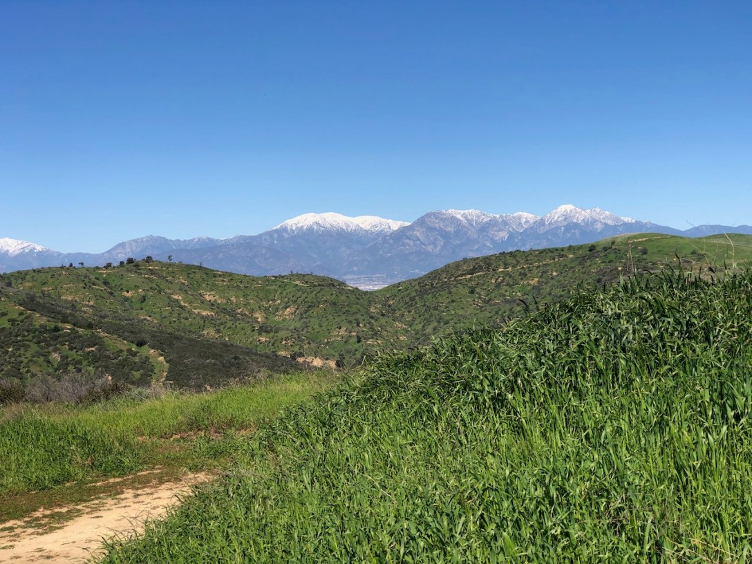
Are you looking to go off the beaten path, while still remaining in civilization? This 4 mile hike over Ladera Ridge in Orange County may be for you.
Get Outside and Explore
Are you looking to go off the beaten path, while still remaining in civilization? This 4 mile hike over Ladera Ridge in Orange County may be for you.
The hike to San Juan Hill from the Casino Ridge Staging area is a shorter, and steeper way to the peak. The trailhead is located on the southern side of Chico Hills near Water Canyon. It's a beautiful trail to explore, and the parking is free.
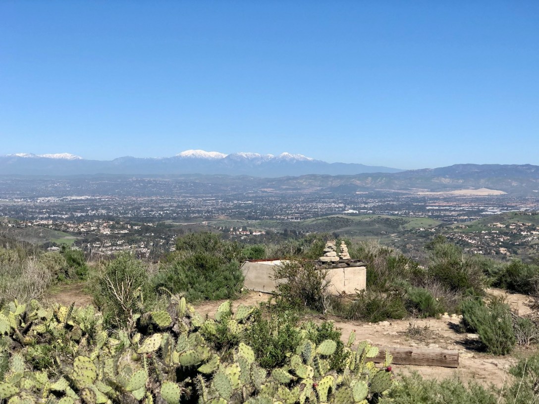
The hike to Turtle Ridge begins at Bommer Vista Point Trailhead in Irvine. There are parking spots, and restrooms. It is a 3.5 mile advanced beginner hike to a ridge, with beautiful scenic views of the mountains, and Catalina Island.
Follow along on my hike to Ontario Peak. You begin the hike at Icehouse Canyon trailhead, just off Mt Baldy Road. This trailhead is the gateway for several other hikes: The Three T’s Hike, Cucamonga Peak, and Icehouse Saddle. There is a small parking lot which begins to fill up by 6am. Hope this Hiking Guide helps you plan your visit to Icehouse Canyon and Ontario Peak.
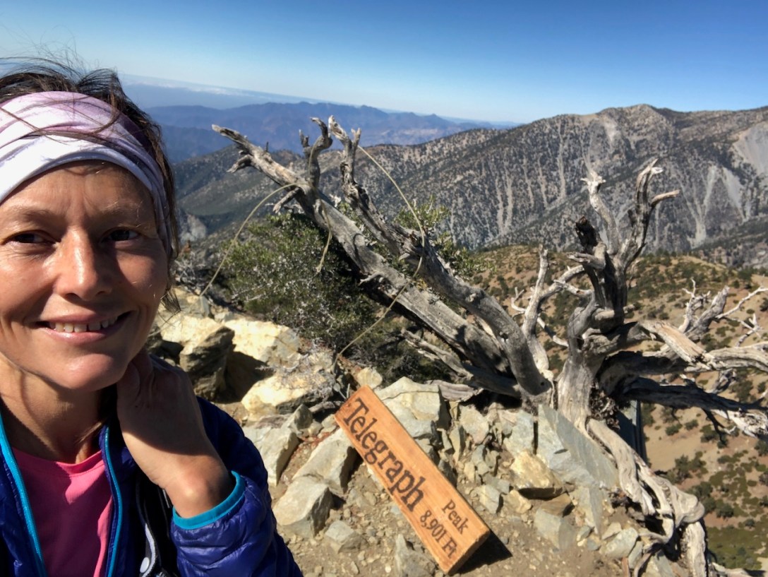
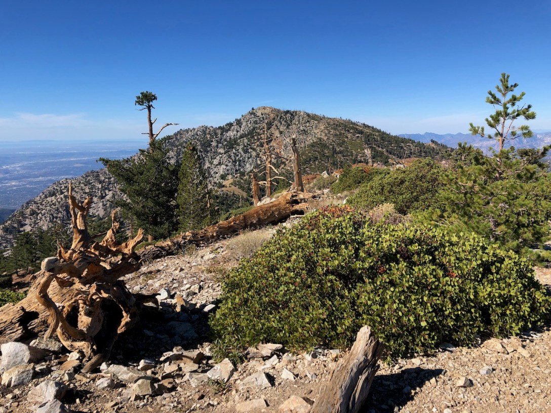
On a cool fall day I set out to hike to two peaks, in one day: Thunder Mountain, and Telegraph Peak. The Three T’s is a popular hike in the Angeles National Forest, near Mount Baldy. I would be hiking up Mount Baldy Rd. from Manker Flats, passing “the Notch,” and heading on to Thunder Mountain, before coming to the sign for the Three T’s Hike, in the Cucamonga Wilderness.
