7-25-22
Planning
I had been planning to do a trip to the Sierras for a long time. At first, the John Muir Trail seemed like my goal. It travels over 200 miles through the Sierras along the Pacific Crest Trail. I had a permit to hike it in 2021, but it was canceled due to wildfires in Sequoia Park. I was going through a tough time in my life anyway and was not sure I was ready to go.
Considerations
The John Muir Trail has several options for taking buses back to the trailhead where you parked in Yosemite, from Lone Pine during the peak season of June-Early September. Getting a ride to Lone Pine can be arranged, as can a ride to Cottonwood Lakes, another possible trailhead for the JMT, which sits at 9000 feet of elevation. Hiking the HST is another story. It is far more challenging to get back to where you started on this trail. More on that in a moment.
Deciding to Hike the HST
I never knew anyone who had hiked this trail. I had spoken to a few hikers, coming off the HST in August of 2021, during my first Mount Whitney attempt. I had seen a few short videos on youtube, of people’s journey’s along it. I had read a few blogs about planning this trip, and had heard people talk about it online, though not nearly as much as the JMT. So early in 2022, I began planning a hike on the HST, and went about obtaining a permit for it on recreation.gov.
You can read more about my process of planning for the High Sierra Trail here.
Here is more on the High Sierra Trail from the National Park Service website.
Gear
I had mostly purchased all the gear I would need to hike the High Sierra Trail already, in 2021. It had sat collecting dust through the winter. I was planning to hike as ultralight as possible, with a Zpacks Arc Air pack, and a Big Agnes Tent, weighing just 3 lbs. I was trying to save weight anywhere possible, and you can read my HST gear list here on lighterpack.
Logistics
Logistically this trail is tricky. Hiking from one side of the Sierras to the other is not a small feat, planning wise. There is an awful lot of driving, and coordinating any way you slice it. You’re not just putting in a lot of miles on the trail, but on your vehicle. People will leave a car on each side, but that adds an extra day or so of travel, along with potential extra nights a hotel stay after reaching Whitney Portal. Then you must drive back to the other vehicle in Sequoia Park. So the option is to hike with a friend, and leave a car on each side, which requires driving another 7 hours to the other side of the Sierras. That’s 7 hours of driving before, and after, which is a lot of mileage.
Crossing the Sierras
In order to hike this trail in its 70+ mile entirety, one must leave from Sequoia Park, and Crescent Meadows in the Eastern Sierras. Then they must hike across the Sierra clear to the other side. So if you arrived at the trail one way, you would be leaving an entirely different way, that is unless you decide to flip flop at Mount Whitney. If you had a reliable person to resupply you, or pack mule service, that might be a good option. But that would also be a two week long 150 mile trek. It would be beautiful to see it all in reverse, but logistically, carrying 14 days worth of food would be extremely heavy, without added support for re-supply.
A 7 Day Adventure
I planned on a 7 day adventure in the Sierras. So I came up with a creative option, to not take any vehicles at all. We would take a Greyhound bus into Visalia from Orange County. Then we would board the Sequoia Shuttle, from Visalia to Crescent Meadow. Then, at the end of the trip, we would have a family member drive 5 hours to pick us up in Whitney Portal from Orange County.
Garmin In-Reach
One essential peice of gear I would be carrying was a Garmin In-Reach. This device would allow us to check the rapidly changing weather, check in with family along the way, serve as a backup map if we were lost, help us get help if we were injured, and most importantly, coordinate about getting picked up at Whitney Portal. We planned to stick to a schedule, and would keep our pickup person posted on our progress.
Set Up Messaging
I had to have messaging set up in advance, and checked people were getting the messages, before going into the wilderness. I had many issues, where only emails were being recieved. Some people got tesxtx, but others did not. Call Garmin to dianose all this beforehand. There is no way to just message people, not added in Garmin, once your in the middle of nowhere, with no cell service.
Orange County to Visalia
Our bus from Anaheim never showed up. After an hour and a half of trying to call Greyhound, we realized we were about to miss the connector in Downtown Los Angeles. We were able to call up my boyfriends son, who had just dropped us at Greyhound, to drive us further in hopes we would make the connector in Los Angeles, about 30 minutes from Anaheim.
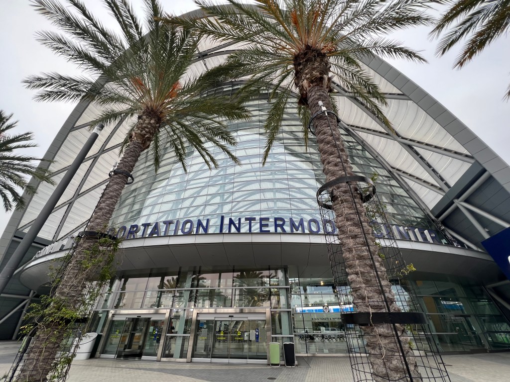
Downtown Los Angeles
We arrived in downtown Los Angeles at the bus station, a mere 5 minutes before the bus would leave. This bus is there waiting, and on time. The filthy, unsanitary looking trash strewn bus station is surrounded by derelicts and homeless encampments. It felt very unsafe. I would not recommend this bus station to anyone, anytime, for any reason. I will not be coming here again, unless it is some sort of last resort, and maybe not even then. Lesson learned.
Riding the Bus
The bus was filled with a variety of people, who were quiet, and there was no trouble on the bus. It was fairly clean inside, and aside from being barked at by the bus driver as I fumbled with my phone searching for my e-ticket, all was well.
On the Greyhound
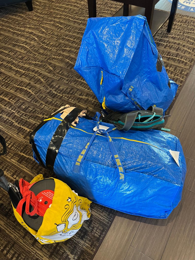
With our expensive packs safely enclosed inside flimsy ikea bags underneath the bus, we were on our way. Not to mention my boyfriend carried his bear can in a not ultralight Trader Joes bag somehow. This bag would make it to Mount Whitney. We do love Trader Joes. Our ride on the bus was pleasant and uneventful, with just one stop along the way to pick up more passengers, and drop some off.
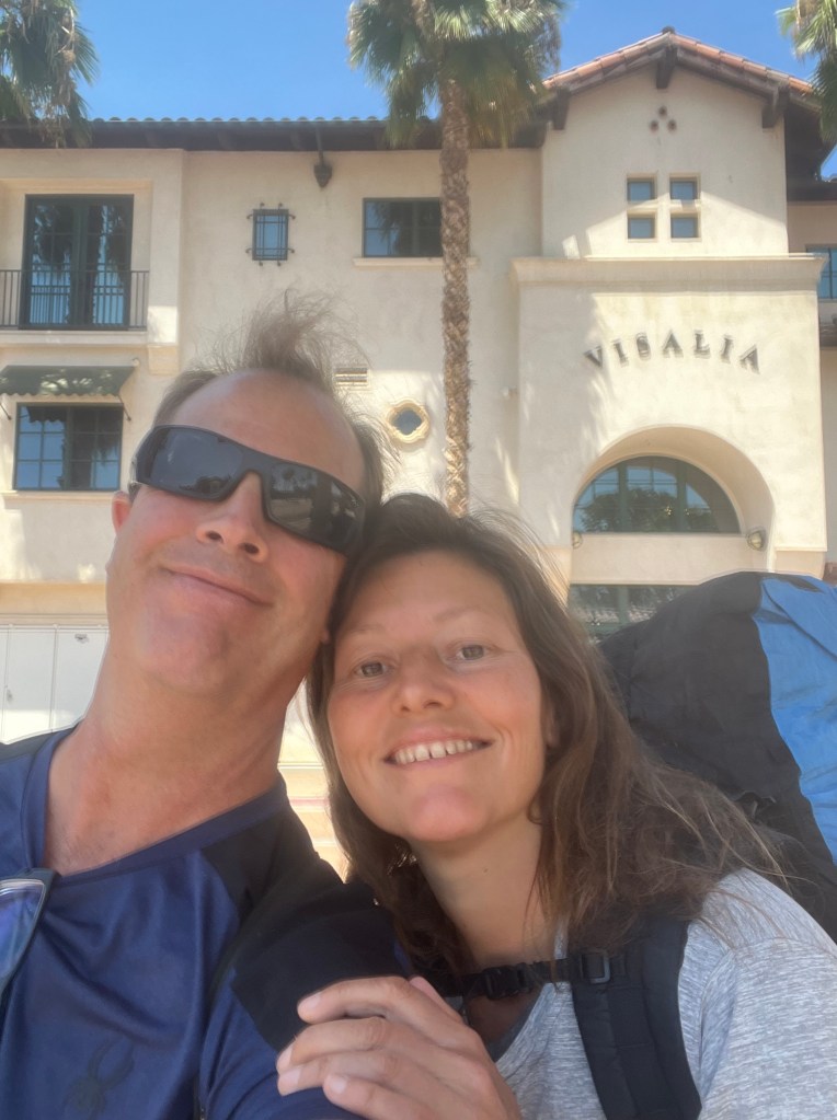
Visalia, CA
We made it to the Visalia bus station in about 3 hours, after passing many farms along the way, heading through the Central Valley. It’s a place much of the country’s food is grown. I am grateful to live so close to the source, and enjoy so many fresh vegetables in season.

One Night in Visalia
We stayed in Visalia one night, prior to starting the trail. This was mainly because of the time the bus arrived, and when our shuttle departed in the morning. Also, we wanted to start hiking the High Sierra Trail as early in the morning as possible. Our hotel was downtown, and had the Sequoia Shuttle stopping conveniently in front of it at 6am the following morning.
Last Minute Shopping
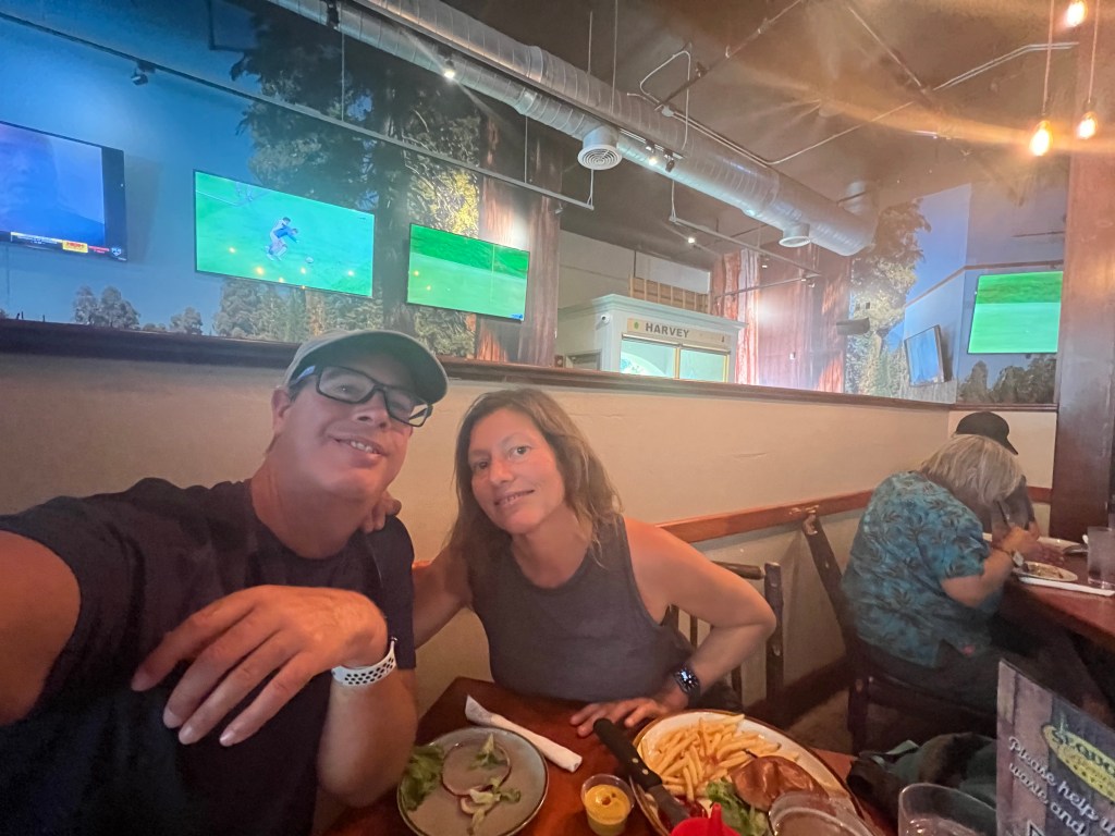
We went out on the town in downtown Visalia, had a bite to eat, and did some last minute shopping. I had forgotten the V-Strap for my bear can. My boyfriend needed a new piece of glass for his phone, since it had cracked. It was baking hot here in town, and close to 100 degrees. We were looking forward to the cool temps of the Sierras, now more than ever.
We also checked out a local restaurant, Sequoia Brewing Company to celebrate a little. What were we celebrating? Surviving downtown LA and the greyhound at this point.
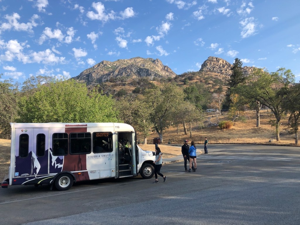
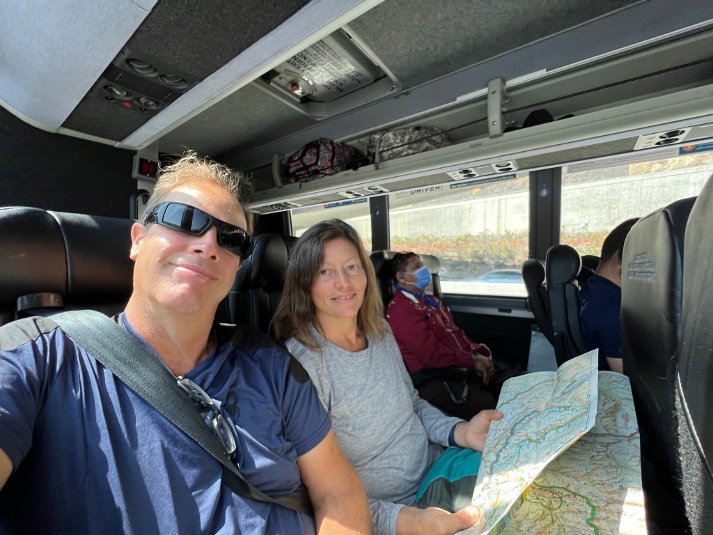
Sequoia Shuttle
We would board the earliest shuttle of the day, which left around 6:15am. We had to reserve this in advance, as it books up. There are just a few shuttles each morning, leaving from 6 to 11am. The ride on the Sequoia Shuttle into Sequoia Park from Visalia was beautiful, and scenic. We passed by lakes, and the rolling foothills of the Sierras. The shuttle stopped part way there, at a restroom, at the edge of Sequoia Park, past the entrance kiosk. The whole ride took about 2 hours.
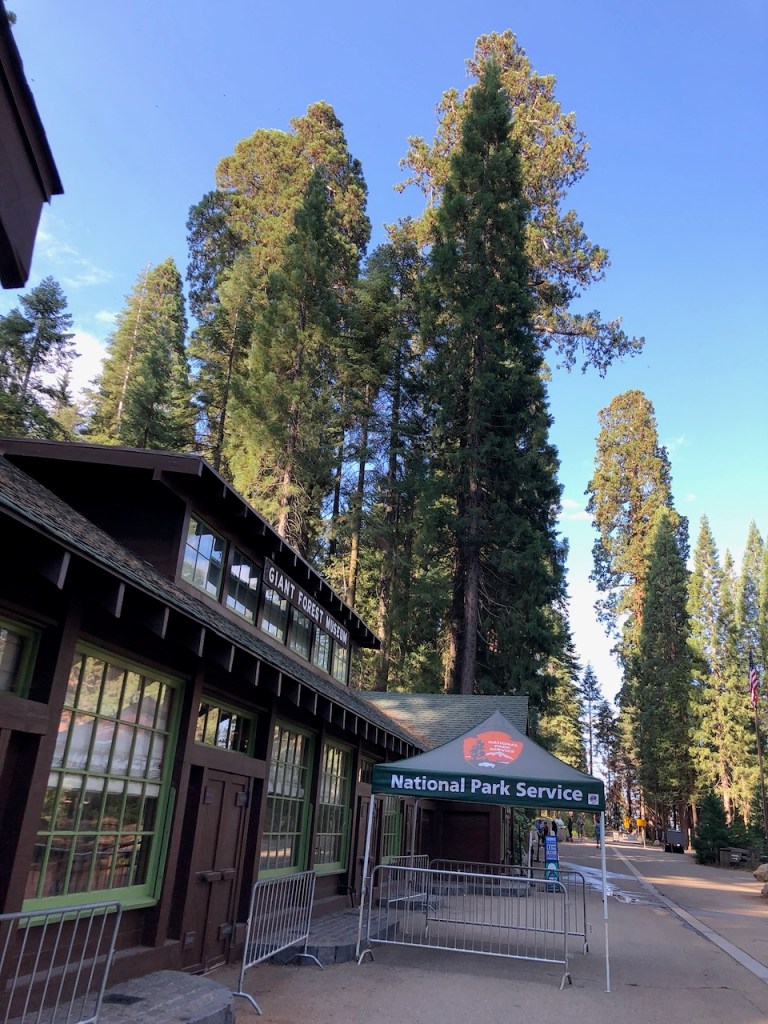
Sequoia Park
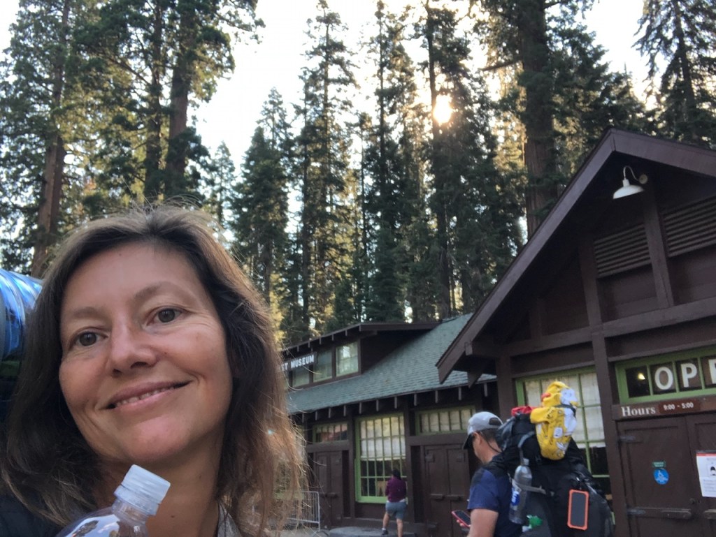
The shuttle dropped us off in the center of Sequoia Park, by the Giant Forest Museum.
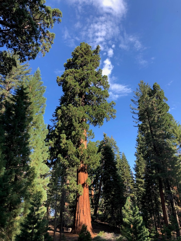
We were greeted by a towering redwood tree named “Sentinel.”
The Ranger Station
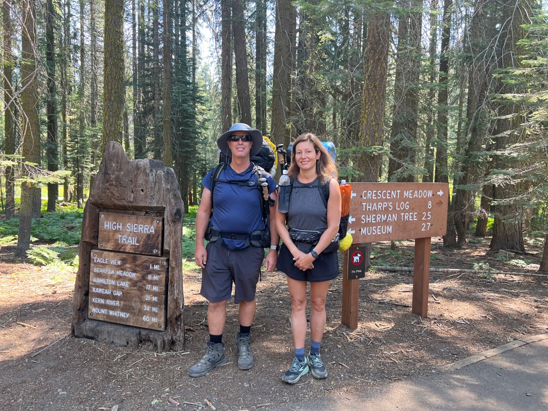
We arrived at the ranger station, to the left of the Giant Forest Museum, around 8:30 am. After a short wait in line, we would pick up our wilderness permits. There was one couple ahead of us, who we met on the bus. The ranger took his time telling us all about the trail, and things to be aware of, along with alternate campsites, we might not have considered. He was insanely knowledgeable, and helpful. It was a warm welcome to our journey in the wilderness.
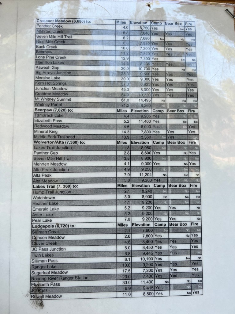
There were signs posted with the High Sierra Trail mileages listed, along with those for other trails. These mileages would prove to be inaccurate. Our first days hike would end up being much longer than we bargained for. If you have used alltrails, you know it’s never correct, and the miles listed are always much more. Same was true for the mileages posted by the park service.

There was also a water report, for knowing what to expect. Your biggest concern is going without water in the wilderness. We were uncertain how much water we would find, so this was helpful.

Heavy Packs
We decided last minute we had brought too much stuff. Our packs were very heavy. But we heard there was a post office in Sequoia Park. We thought why not head over there on the park bus, and send off a package.
The Post Office
We hopped on a park shuttle bus, only to find the post office was closed for the season. This was unusual since we were in the middle of July. We spent about an hour on this errand, including grabbing some coffee at the store there. After our detour and seeing a bit more of Sequoia Park, we headed back to the shuttle bus stop we first arrived at. We waited in a very long line for the bus towards Crescent Meadow. The buses are all free to ride here, anywhere in the park.
Crescent Meadow
After a 10 minute bus ride, we were at Crescent Meadow. There were lots more hikers, since there are an awful lot of trails here to explore. They were mostly day hikers, likely there to explore Giant Sequoia Forest Grove. Had we wanted to take our time, we could have hiked to Crescent Meadow from the initial bus stop. But our heavy packs encouraged us to be patient. The thing on my mind was lunch, which would be the first opportunity to lighten our load, by consuming some of the food we brought.
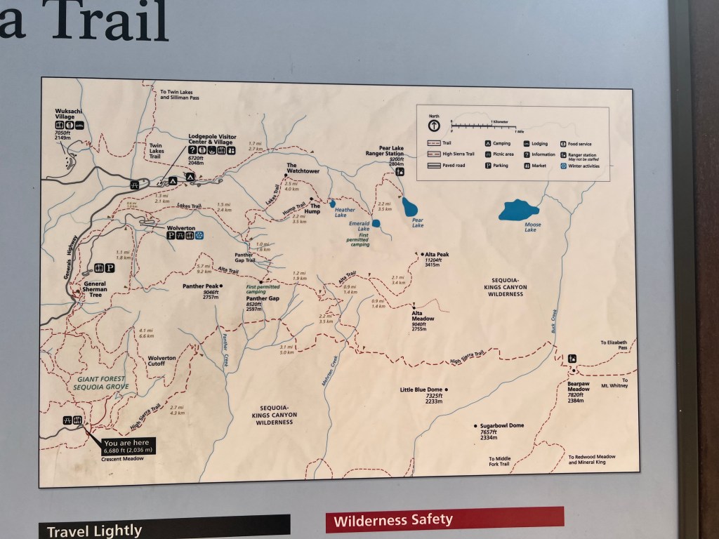
The map at the trailhead, detailed the entire journey we would be taking. I had purchased a backup paper map that was waterproof from National Geographic. I was not taking any chances. Still we studied the map, and took a picture of it, just to know what to expect, noting landmarks on the map. There were two marked trails on this map, supposedly linking up with the HST from Wolverton Gap, and from Alta Trail, which we would never even notice as we passed them later on, as there were no signs for them.
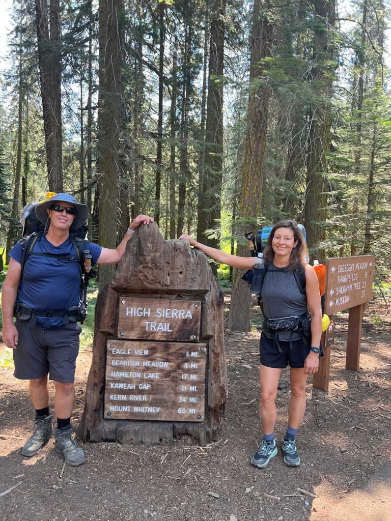
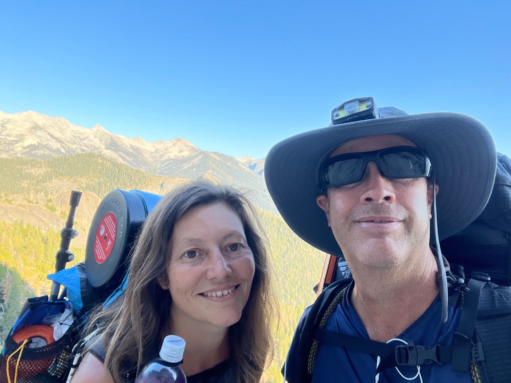
The High Sierra Trail – Day 1
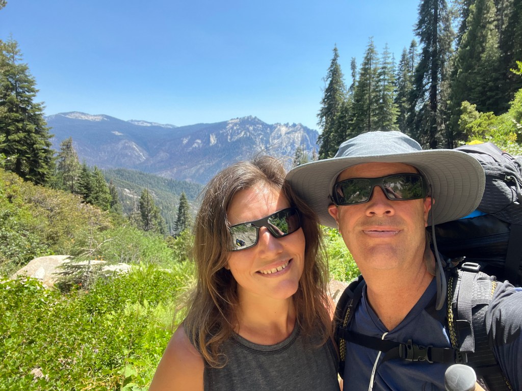
We were at the trailhead for the High Sierra Trail. We were ready to depart on what would be our biggest adventure yet, 7 days in the wilderness. It was a very pivotal moment for us for sure, standing by the HST sign, pointing our way towards the Sierras. We arranged our gear a bit, sent a few messages on the Garmin to family, snapped a few photos, and off we went, into the Sierras.

The Hike Begins
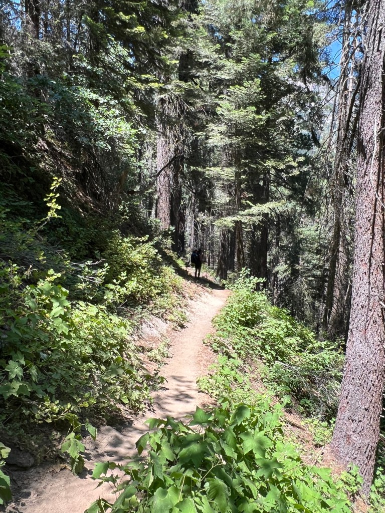
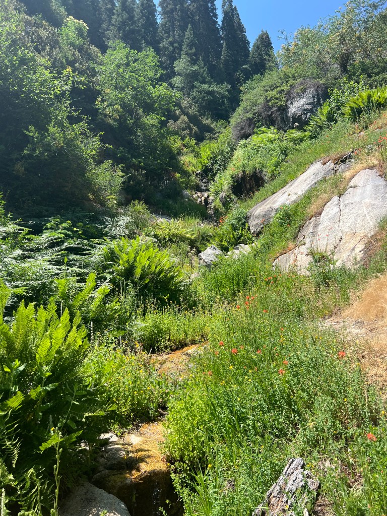
It was around 11am as we began the hike, much later than anticipated. The trail was lush and green, heading on through the redwoods, and uphill on a narrow dirt path. It definitely felt like torture, carrying this ultralight pack somehow made heavy. I was determined, but not comfortable just starting off. But I was way too excited, to be bothered with the heavy weight on my back. It was onward to the Sierras!

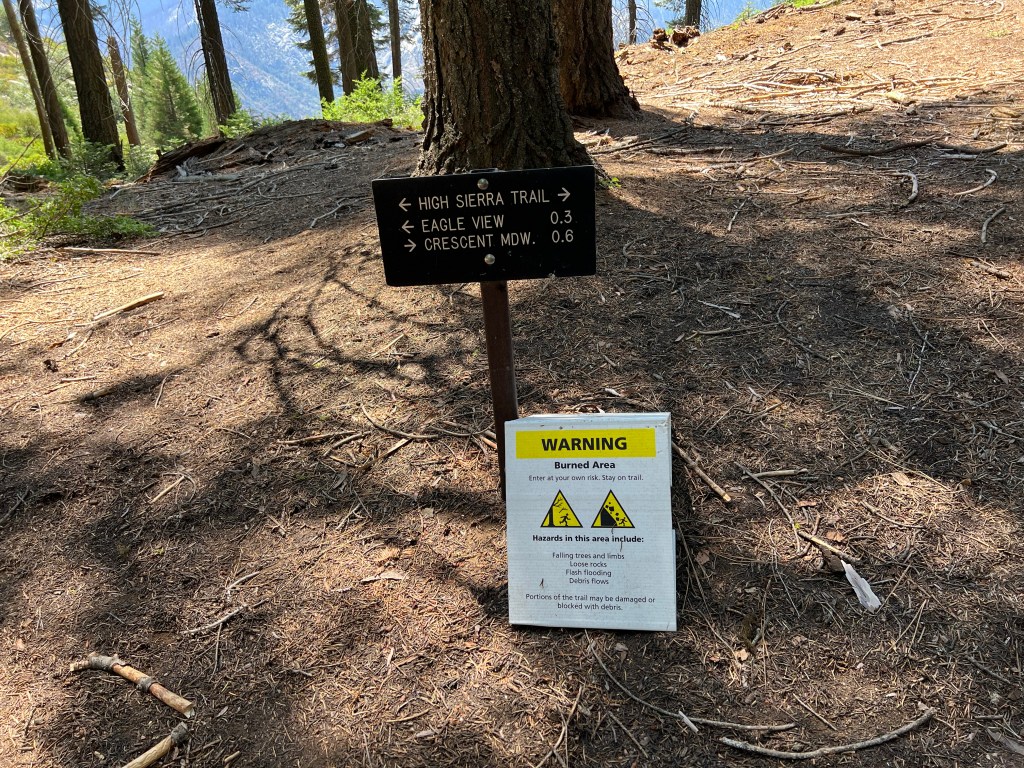
The trail was well marked with signs at the beginning, and was well maintained. This was encouraging, that at very least, we might not get lost.
We headed uphill out of the understory of ferns, pines, and Sequoias towards a ridge.

It started to feel much more dry up here, and warm. The forest smelled just amazing here, like fresh pine.

Into the Sierras
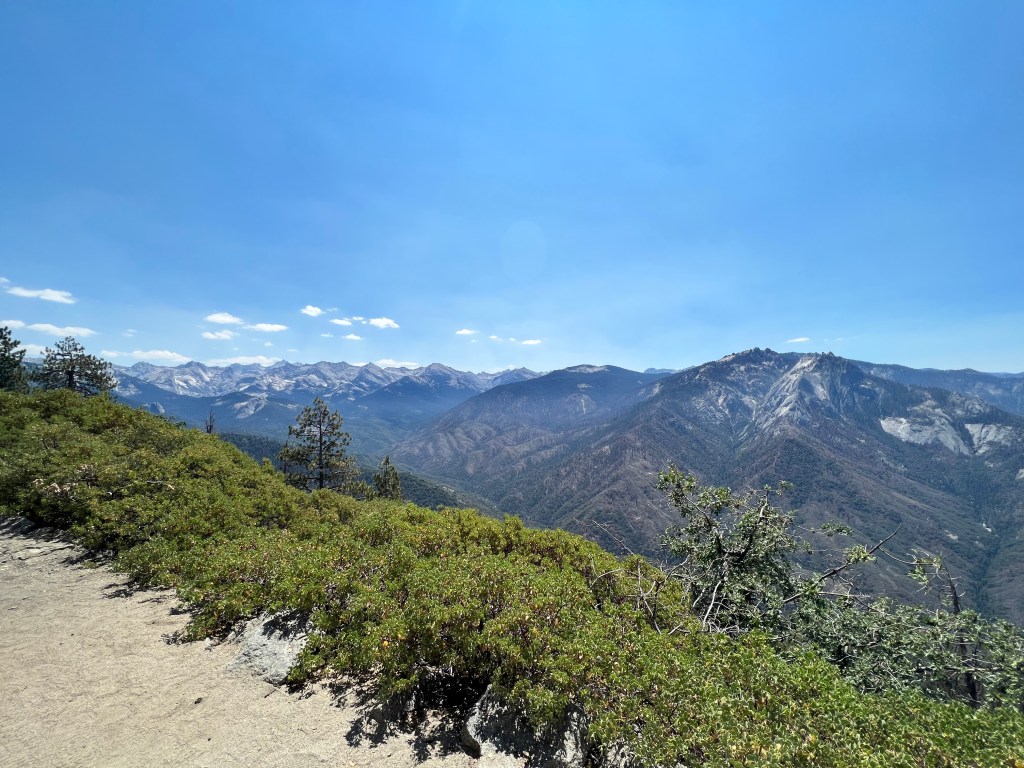
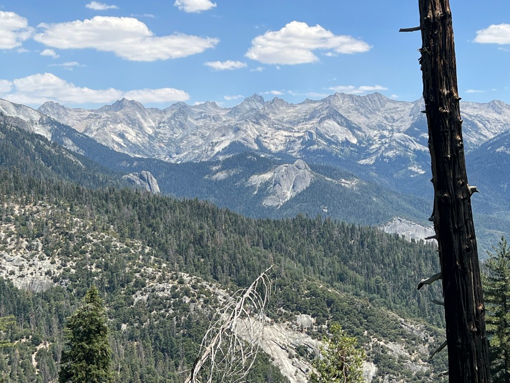
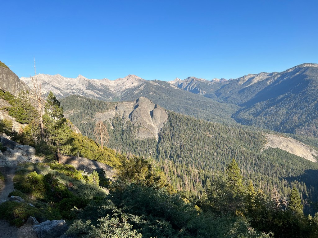
We reached an overlook, where we were able to gaze out into the a great expanse, towards the high peaks of the Sierras. This truly felt like the gateway to the wilderness. There were twisted granite domes, pointed spires, and many tall peaks in the distance.
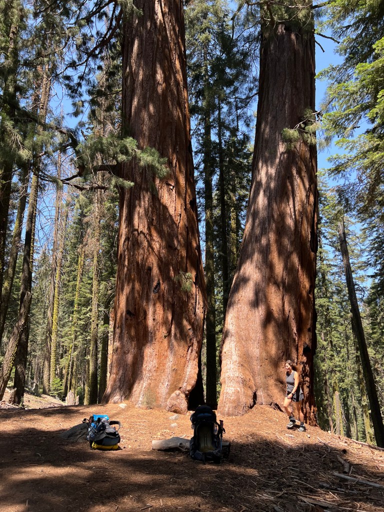
We took a 5 minute break under a large Sequoia, and vowed to take it easy on day one, stopping frequently to give our backs a break. There was no going back now, we were committed.

Looking back westward, towards the foothills, we were leaving the it all behind. It was all uphill from here. We said farewell to the heat wave, and hello to alpine temps. We were starting this hike at an elevation of 6,795 feet, and it can get very warm in summertime, even at this altitude.
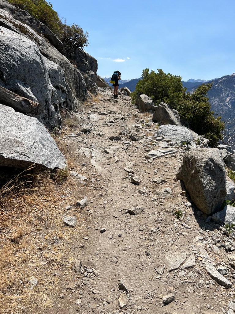
The first few miles of our hike, edged along a steep rocky cliffside. There were awesome views, and lots of sun. It was very warm out, and in the upper 70’s.
It was a series of ups and downs, as we steadily climbed higher. Off to my right in the distance were Pine Top Mountain (Elevation 7933), towering Paradise Peak (Elevation 9364), and to its left Castle Rocks (Elevation 9082). There are so many peaks to climb in the Sierras.
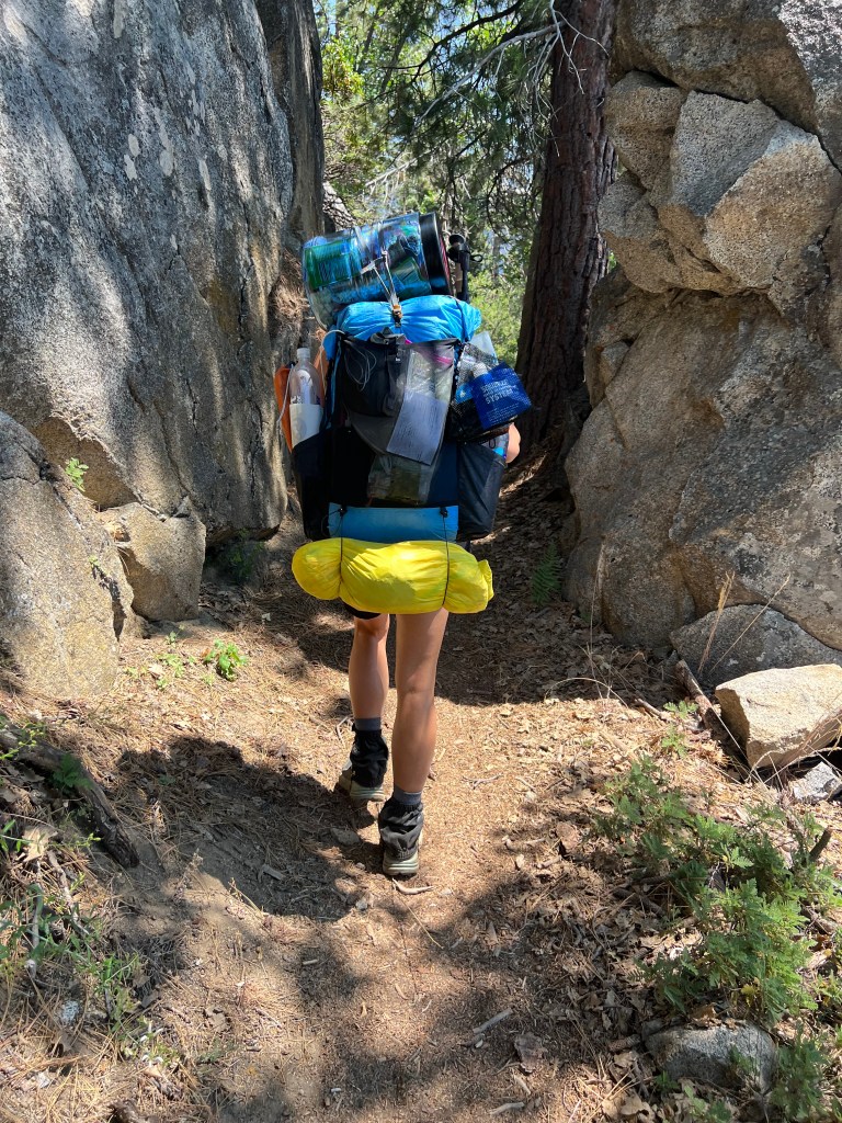
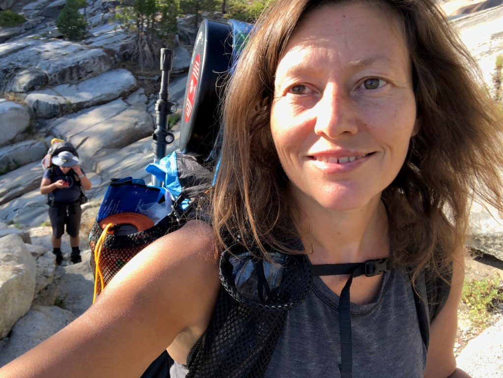
The trail became a tight squeeze through enormous granite boulders. I had a full pack, and then some. I had an extra bag of the days snacks, and other stuff I did not need, where a sleeping pad normally goes. We may have been weighed down, but were not backing down.
The dry and dusty trail would dip into the trees intermittently, allowing us to enjoy some occasional shade which was nice.

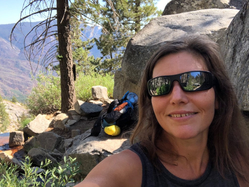
A Picnic in the Sierras
We decided to stop for lunch about 3 miles in, on a series of massive boulders. We had enjoyed our lunch of tortilla wrap sandwiches, fruit, olives, and other gourmet fresh stuff. The food we packed in for Day 1, was not backpacker food. We were glad it was in our bellies, and not on our backs. The tangerines I brought added motivation. I had one more apple for the next day, but I would be going without my beloved fresh fruit on this journey, and trading it for dried bananas and apples.
We hiked on past occasional charred tree trunks. Seeing the charred trees also reminded me of my canceled JMT permit, due to wildfires, and that this wilderness can be a tinderbox, come August. Even in late July, we would have to stay alert, should weather conditions change.
Mineral King
In the foreground, in the distance were Little Blue Dome (Elevation 7335), and to it’s left Sugarbowl Dome (Elevation 7657). Beyond that were the high peaks of Mineral King: Miners Nose (Elevation 9410), Hengst Peak (Elevation 11,129), White Chief Peak (Elevation 11,126), Vandever Mountain (Elevation 11,930), Tulare Peak (Elevation 11,611), Mount Florence (Elevation 12,432), Mineral Peak (Elevation 11,615), Empire Mountain (Elevation 11,461), Rainbow Mountain (Elevation 12,035), Sawtooth Peak (Elevation 12,333), and Needham Mountain (Elevation 12,405).
Mineral King, and Silver City sit along the East Fork of the Kaweah River, surrounded by several more Sequoia Groves. This is a place on my list for a long time, and one where you must wrap your vehicle in a tarp, to protect it. I thought that was a fun fact. Where else on earth can you do that?
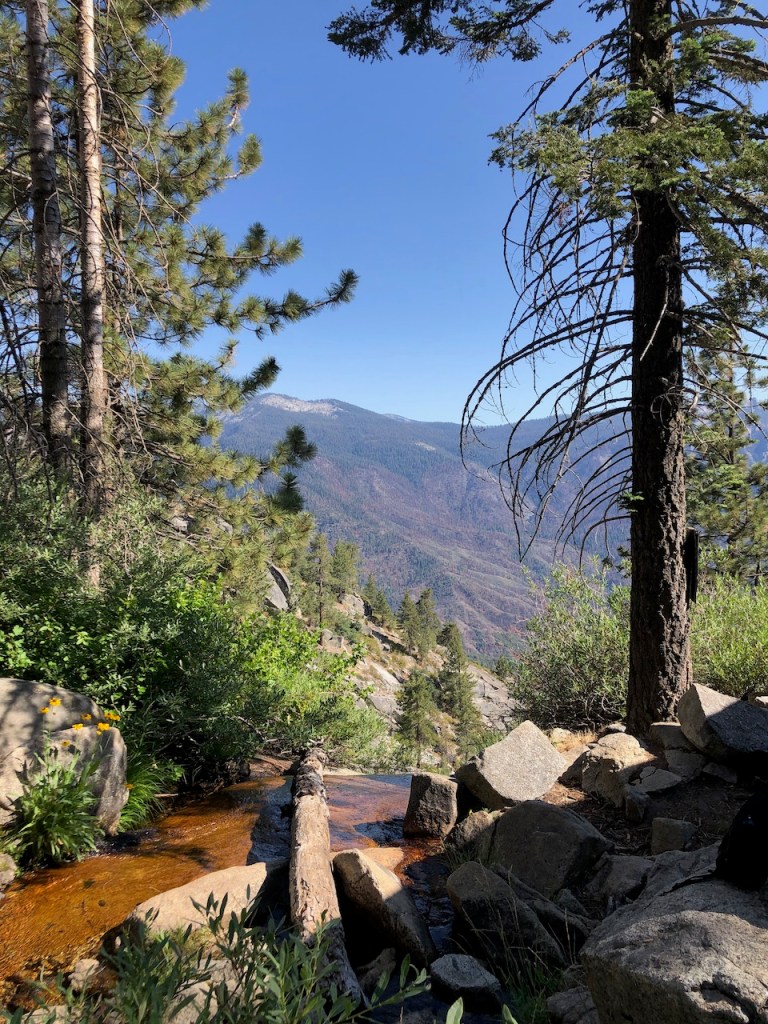
Panther Creek
After not very long, just a few miles along on the trail, we passed Panther Creek. The water situation between the most well known sources was unknown. It was flowing at a trickle, down from its source at Panther Peak (Elevation 9049), hovering high above us, but not visible. There were plenty of bees, and other insects buzzing about in the green lush area, around this water source.
We were edging ever closer to the high peaks in the distance. Over the course of the day we would climb about 1850 feet, over about 11.5 miles.
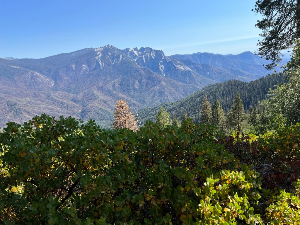
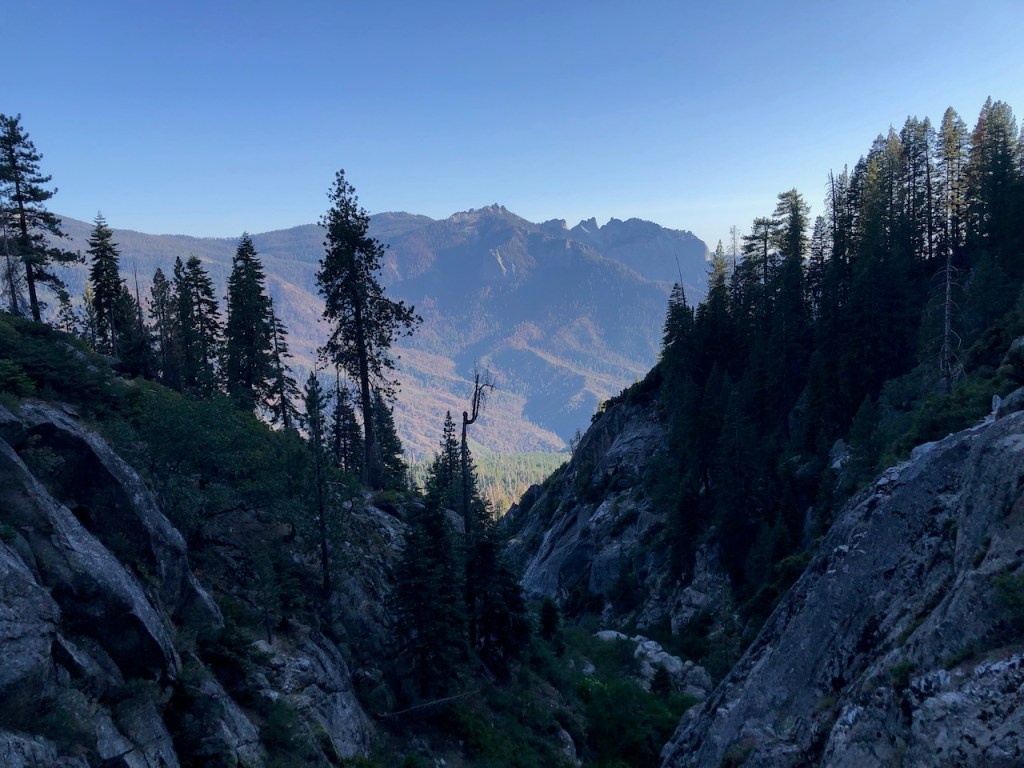
Another view of Castle Rocks and Paradise Peak in Mineral King.
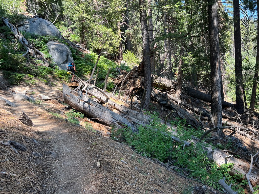
Hiking on through the dry forest, towards Mehrten Creek, past many down logs, and large boulders.
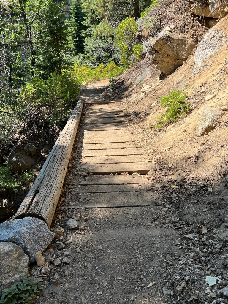
The trail occasionally had small footbridges, and it continued to be mostly flat.
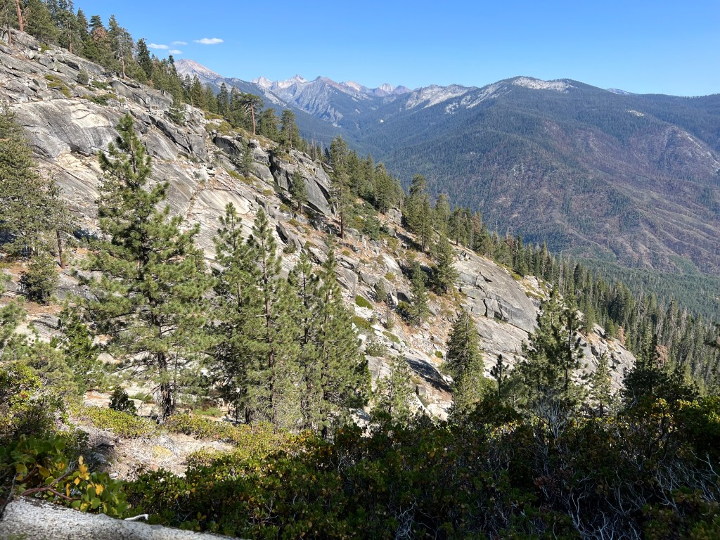
The landscape began to change a bit, with so much cascading granite, flocked with trees, with Alta Peak above.
At Mehrten Creek I refilled water. At this point I was unsure of how far we would go. So we filled up all our 4 one liter bottles.
There was plenty of shade here amongst the boulders, and we stayed here about 30 minutes or so. We were hot and exhausted, having walked in midday sun, not having the advantage of an early start.
We were much closer to Sugarbowl Dome here in the distance.
We started hiking on granite, and that’s when I start to truly feel I have entered the alpine zone.
It was cool and shady for the remainder of the days hike. But since we were running out of light, we realized we would not make it to Bearpaw Meadow, which was stated to be 11.5 miles in. In actuality, it is almost 14 miles in. I know this, because I was recording my hike on my watch.

I was feeling great to be in the wilderness again, bear can and all. This was where the high sierras truly began, above 8000 feet.

The last stretch had sheer drop offs, along the cliff sides. I stayed to the inner granite wall, used my poles to push toward the wall, and generally kept a close eye on the trail. The last thing I needed was to trip on a loose rock, and go over the side. Falls are the way most people have died in the wilderness.
We were in good spirits as we neared Nine Mile Creek, which would be our campsite for the night.
An 11.5 Mile Day
We were in good spirits as we neared Nine Mile Creek, which would be our campsite for the night. We ended up hiking 11.5 miles, and with 1850 feet of gain, on Day 1 of the High Sierra Trail.
You may ask how the mileage varied so much? Well that was my recording on my watch, as was my boyfriend’s recording on his. I use alltrails and my watch often, and they essentially record the same distances. I used this to gauge exactly how much further each day’s mileage would be. My guess is the entire trail would be about 80-85 miles, and not 72.1 as stated.
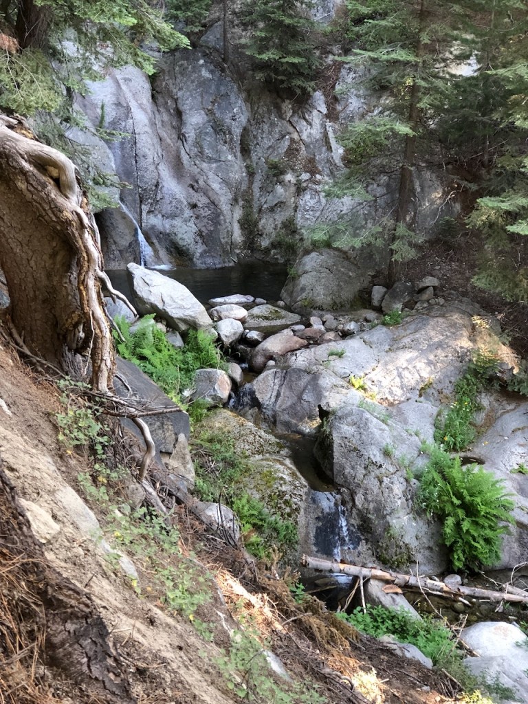
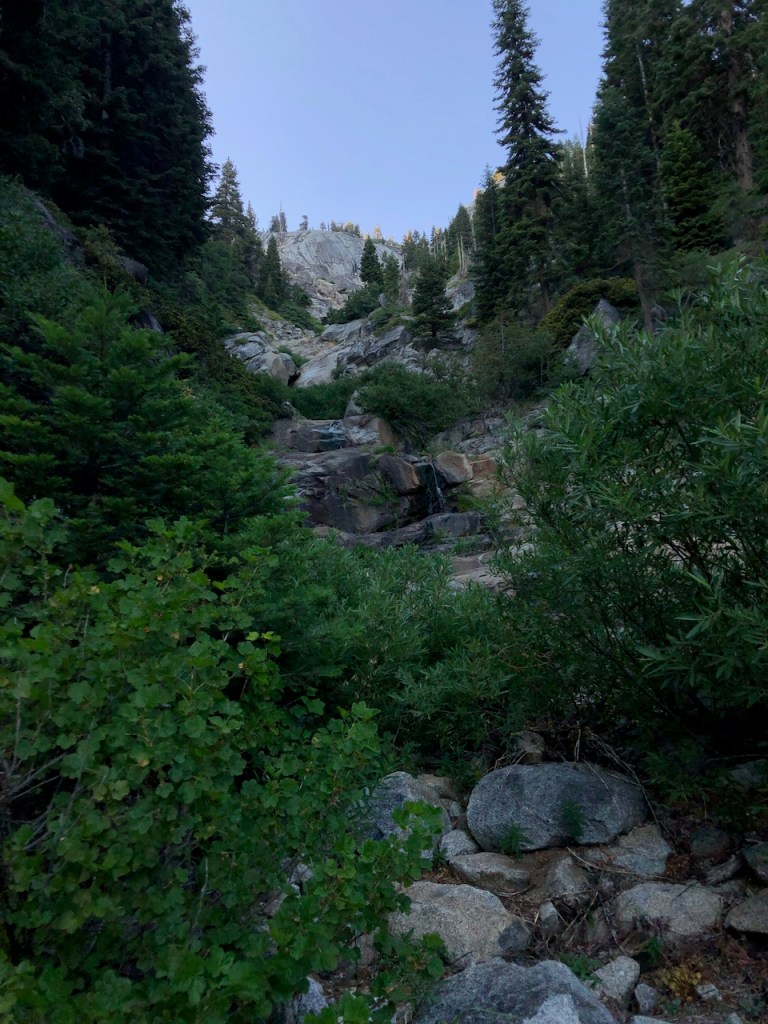
We camped beside this stream, and waterfall, which would have been perfect for taking a dip, had we arrived a bit earlier. Now it was getting dark, and we would barely set up the tent, before it was pitch black.
Day One Complete
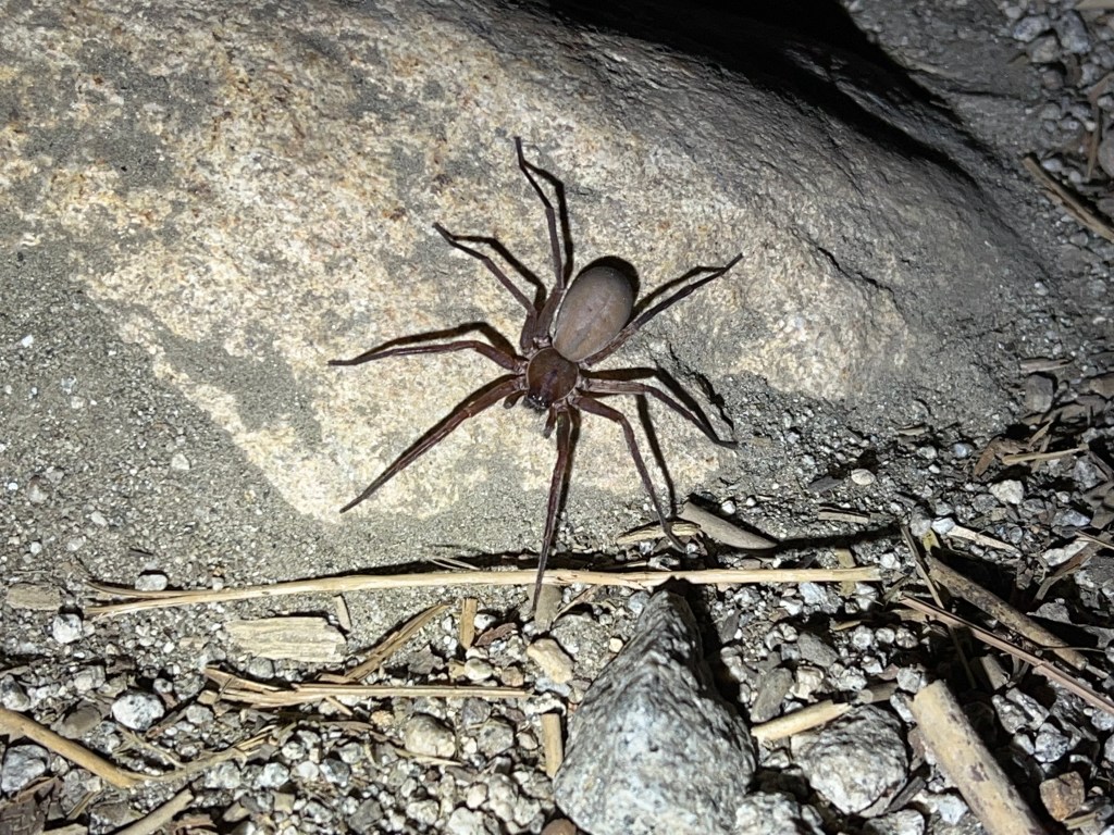
We ate our backpacker meal in the dark, by the stream, sitting on the rocks, having to contend with this giant aggressive grey spider, which kept charging at us.
Just before bed, I was putting food in the bear box, and shined my light right into the eyes of what seemed to be a mountain lion. I froze, and it took one step towards me. At that point, I did the crazy hiker thing, making noise, and attempting to bang my trekking poles together.
Sounding the Alarm
Problem was, carbon poles don’t make noise. Now that ready is a problem. I did not think to start slamming the door on the bear box. My boyfriend miss the whole thing, but heard me making a ruckus. Either way, it eventually walked away. But that was a scary moment for sure.
Getting Chills
In the tent that night, I was a bit scared we were being stalked. It gave me chills that a mountain lion might be walking around outside the tent. I just had to pray that God would take care of me. That was all there was left to do. I chose this adventure. It was in fact very wild on the High Sierra Trail. What did I expect?
To be continued…
Read about my adventures on Day 2 of the High Sierra Trail here.
I hope you enjoyed reading this, and it is helpful in knowing what to expect, should you decide to visit here.
My Latest Posts…
- Ontario Peak in Winter
- 2 Peaks in a day: El Cajon Mountain and El Capitan
- Many Water Crossings Through an LA Burn Area: The Bridge to Nowhere
- Mill Peak and Exploration Trail
- Buck Gully in December
About me
I’m Serafina! I’m a writer and California girl who loves to go exploring. Hope you will get outside today, breathe some fresh air, and be happy!
Follow my Journey…
Be sure to Like and Subscribe to My Youtube Channel where I post videos!
Disclaimer: The work on this blog is my opinion and my opinion alone and I am not responsible for the outcome if someone were to apply these thoughts to their own life. All text and photography copyright 2022 by Serafina, all rights reserved. Information and opinions provided are kept current to the best of the author’s ability. All readers’ usage of the ideas and opinions presented in the blog, are at their own risk. Be aware of the possible dangers of hiking, surfing, walking, cooking, and other activities, which may take place indoors or outdoors. By reading this, you agree not to hold the author or publisher of the content on this web site responsible for any injuries or inconveniences that may result from reading the blog, or partaking in any activity mentioned in the blog. Read the blog, and use its ideas, if you so desire, at your own risk.
