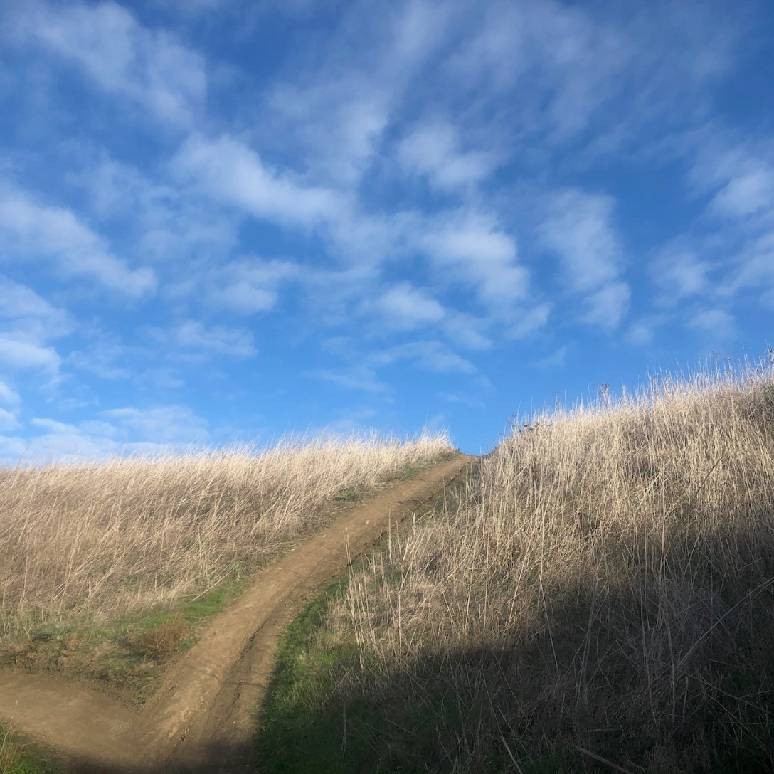
Quick Facts Trail NameBane Canyon, Bane Ridge, Corral Trail, East Fenceline, and Pomona Trails Peak or High Point1017 feetTrail Length8.5 milesGain1853ParkingFree on street or $15 for Day UseRestroomsYesDogsYesCell ServiceYesLocationChino Hills, CADirectionsSapphire Rd. and Bane Canyon Dr.MapAlltrailsI began the hike into Chino Hills from the east side of the park. I took the Central Avenue exit… Continue reading Bane Canyon in Chino Hills
Category: Socal Hikes
Dana Point Hills A 6 Mile Hike and Trail Run
The winter rains have begun, and new growth has just begun to emerge. The area is cool and misty during this time of year, which makes for perfect trail running weather. I love my country and I love getting outside. So what better than a hike and a trail run from Camino De Los Ramblas onto the flagpole on Patriot Trail.
Bell View Peak
Mount Baldy in Photos: A Trail Diary and Guide
Why Hike to Mount Baldy in the Angeles Forest?
Adventure Awaits This challenging hike to Mount Baldy (aka Mount San Antonio) up the Devil’s Backbone, and down Ski Hut Trail, is one of the most strenuous, steep trails I have experienced in Southern California. It’s also one of the most popular peaks to bag, among experienced socal hikers. Alpine Dreams and High Peaks Hiking… Continue reading Why Hike to Mount Baldy in the Angeles Forest?


