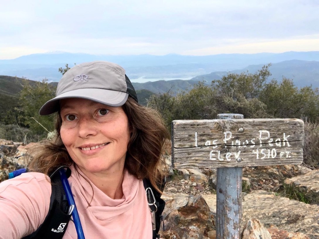
It was a beautiful day for a 6 mile hike to Los Pinos Peak. I decided to head off into the Santa Ana Mountains. Heading north on Main Divide Road from Ortega Highway, there were two water crossings we had to make, which was not expected.
Get Outside and Explore
It was a beautiful day for a 6 mile hike to Los Pinos Peak. I decided to head off into the Santa Ana Mountains. Heading north on Main Divide Road from Ortega Highway, there were two water crossings we had to make, which was not expected.
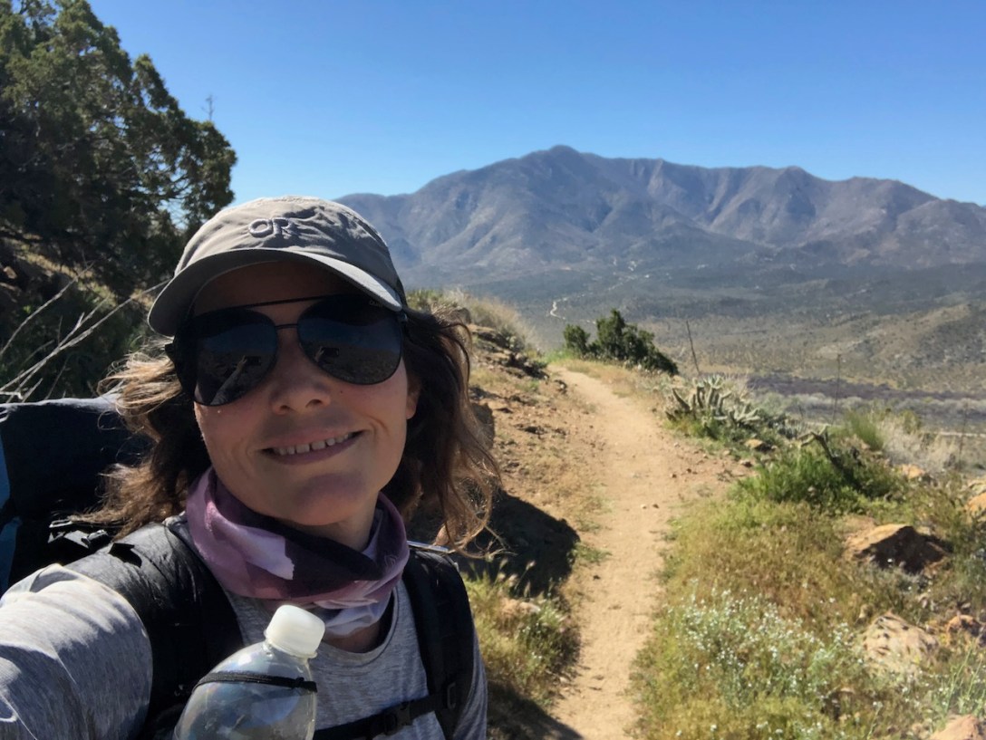
I section hiked PCT Section A, starting in Scissors Crossing, as a solo female backpacker. I planned to hike to Warner Springs, and flip back to Campo, when I had a permit, which would be April.

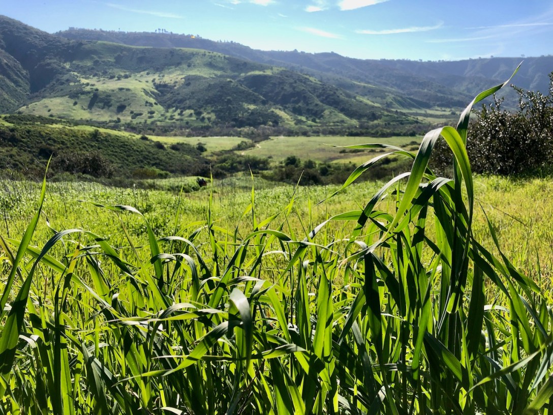
We went for a 4 walk around the 300 acre San Joaquin Wildlife Sanctuary between rain squalls of the atmospheric river that was hitting California. The wetlands here act as a natural water filter. The plants found here, such as bullrush, help to filter urban runoff from San Diego Creek before it reaches Upper Newport Bay.
I wanted to take on the "mentally sensitive," trail for a long time. Part of the trail travels along Meadows Trail, and the rest of it is called Sheep Run. But aside from feeling a little mentally sensitive, I would be adding part of Wood Canyon, and Car Wreck, for a 9.65 mile hike. The name of the trail was changed on alltrails from Mentally Sensitive , and is now called Meadows and Aswut Trail Loop. The trail begins at Moulton Meadows Park in the Alta Vista neighborhood of Laguna Beach, California. This park has grassy fields, a dog park, and restrooms. There is street parking all along Balboa Road, adjoining the park. Nobody knows for sure how the car wreck got there. Was it driven off a cliff on purpose or for a prank? Perhaps a storm washed it down the mountainside. Nobody seems to know for sure. There were so many wildflowers in bloom all along the way. This was a perfect springtime hike in Orange County in March.
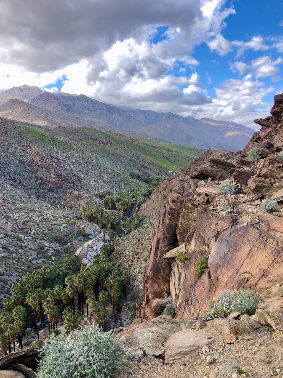
It was late February 2023 when I visited Palm Canyon. It is located within a rocky gorge, within the Indian Canyons area of the 32,000 acre Agua Caliente Indian Reservation. It is just south of the city of Palm Springs, along South Palm Canyon Drive.
