Tahquitz Peak in Snow

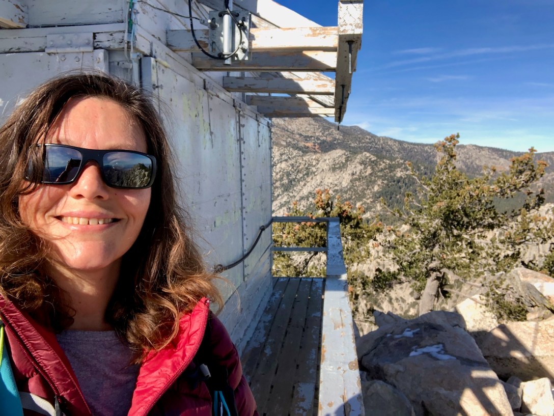
It was early December of 2023, and I decided to hike to Tahquitz Peak, within the Santa Rosa and San Jacinto Wilderness.  My plan was to hike there before winter set in, but plans got delayed. In my search for backpacking partners to hike the PCT with, I met a woman in a hiking group… Continue reading Tahquitz Peak in Snow

Los Pinos Peak

It was a beautiful day for a 6 mile hike to Los Pinos Peak. I decided to head off into the Santa Ana Mountains. Heading north on Main Divide Road from Ortega Highway, there were two water crossings we had to make, which was not expected.

Chiquito Falls

Here is a guide to Hiking to Chiquito Falls near Lake Elsinore, along with the San Juan Loop Trail, and San Juan Falls. One thing to note about the hike to Chiquito Falls is that it is less technical to reach it than other waterfall hikes, while being longer, with more elevation gain. A hike here does not require Class 2+3 scrambling over large boulders, such as in Black Star Canyon. 

Bane Canyon in Chino Hills

Quick Facts Trail NameBane Canyon, Bane Ridge, Corral Trail, East Fenceline, and Pomona Trails Peak or High Point1017 feetTrail Length8.5 milesGain1853ParkingFree on street or $15 for Day UseRestroomsYesDogsYesCell ServiceYesLocationChino Hills, CADirectionsSapphire Rd. and Bane Canyon Dr.MapAlltrailsI began the hike into Chino Hills from the east side of the park. I took the Central Avenue exit… Continue reading Bane Canyon in Chino Hills

Sylvan Meadows

Have you wanted to see what old California looks like, hike through an old Oak Grove, and through an ecological reserve? You may want to check out the Santa Rosa Ecological Reserve. Enjoy my guide to hiking through Sylvan Meadows.