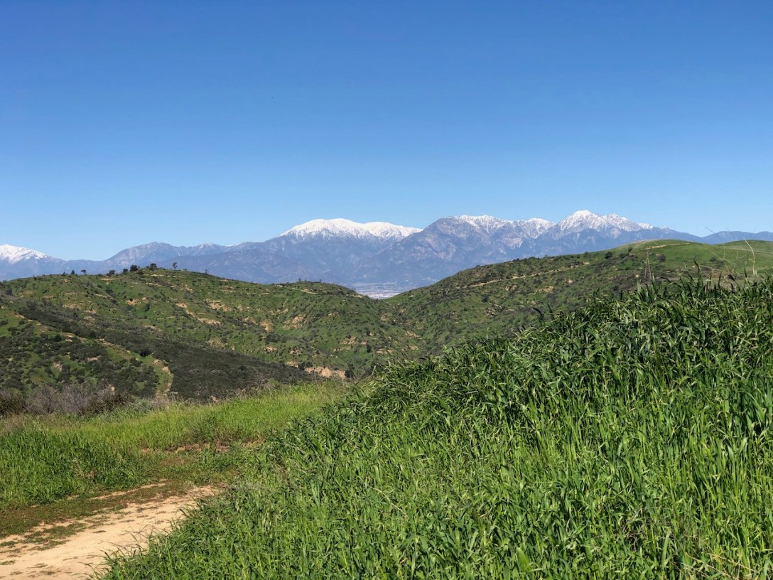
The hike to San Juan Hill from the Casino Ridge Staging area is a shorter, and steeper way to the peak. The trailhead is located on the southern side of Chico Hills near Water Canyon. It's a beautiful trail to explore, and the parking is free.
Get Outside and Explore
The hike to San Juan Hill from the Casino Ridge Staging area is a shorter, and steeper way to the peak. The trailhead is located on the southern side of Chico Hills near Water Canyon. It's a beautiful trail to explore, and the parking is free.
The hike to Turtle Ridge begins at Bommer Vista Point Trailhead in Irvine. There are parking spots, and restrooms. It is a 3.5 mile advanced beginner hike to a ridge, with beautiful scenic views of the mountains, and Catalina Island.

Sierra Peak hovers right above the 91 freeway corridor at 3042 feet. It is sandwiched between Corona, CA and Yorba Linda, CA, as the northernmost peak, in the Santa Ana Mountains. We would be hiking from the Orange County side, up Coal Canyon past Fremont Canyon and the Cypress Reserve. The most popular route to Sierra… Continue reading Hiking to Sierra Peak
A 10 mile Loop Hike Via Morgan Trail Quick Facts Located within the Cleveland National Forest https://www.fs.usda.gov/cleveland/ Town/State Lake Elsinore, CACounty RiversideRegion Southern CaliforniaAddress South Main Divide, Decker Canyon Rd, Lake Elsinore, CA 92530GPS Coordinates 33.633599, -117.382071Google Maps - Morgan Trailhead Parking / Trailhead Parking lot at trailhead visible from roadCost Free Pass Required NoRestrooms NoMileage 4.7… Continue reading Hiking to San Mateo Peak Elevation 3591 ft

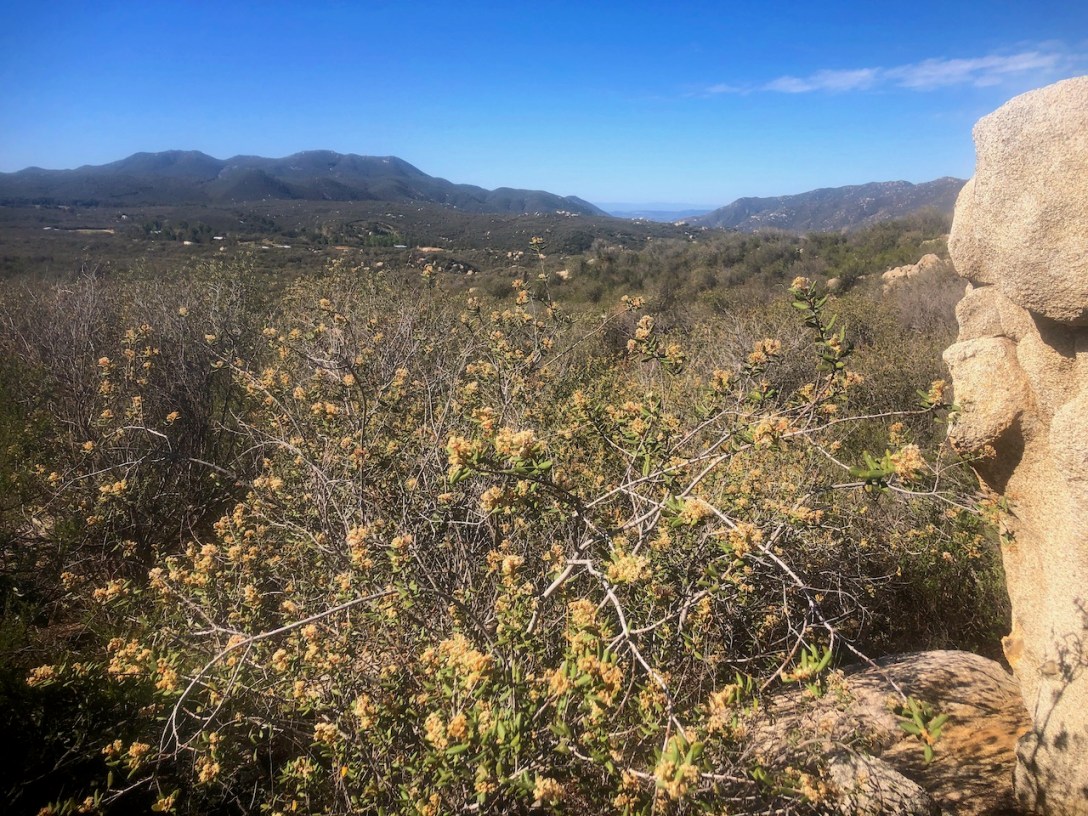
I wanted to check out a new trail, close to home, with great views. Bell Peak seemed to fit the bill, just 20 minutes drive from home. Bell View Trail to Bell Peak, is about 4 miles long, with about 1167 feet of gain, and is an advanced beginner to moderate rated hike.
