I drove into Cuyamaca Rancho around 8:30 am, weaving my way along the highway bound for the Trout Pond parking area. I had read that if you park on any of the legal turnouts the parking is free, but not at picnic areas with restrooms. So there was no need to display a parking pass at this trailhead.
This would be my second time hiking in Cuyamaca Rancho State Park. The first time I visited here, was during a snow storm, and I was passing through the Julian area, so I decided to check out the fresh snow, before heading into the desert for a hike. That particular morning, I stopped at a snow covered overlook before driving as far as Cuyamaca Lake, where many people were sledding along the opposite side of the road from the lake. I drove no further that day.

On another occasion in early May I wound my way through the park, after a long day hike along the PCT, taking Sunrise Highway north, before making a left on Hwy-79 intending to take it on back to the 8 Freeway. I remember pulling off in a turnout on the side of the road to take a cat nap, somewhere in the center of the park near the visitor’s center. I remember noticing how isolated it felt here in the park, and mysterious, with the fields of grass, and dense forest. I knew there was so much to see here, but was hesitant to explore it on my own.

The reason I had hesitated exploring the park on my own, was since I knew this was the park where a a woman hiking solo, was killed by a lion in 1994. She was hiking on the fire road to Cuyamaca Peak, so I vowed to myself not to take on that hike, without companions. Eventually I did make it to Cuyamaca Peak, as my birthday hike a year ago, after somewhat healing from a back injury.
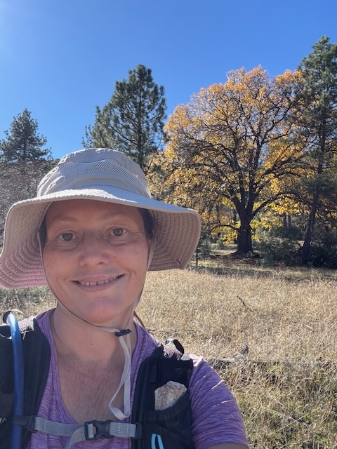
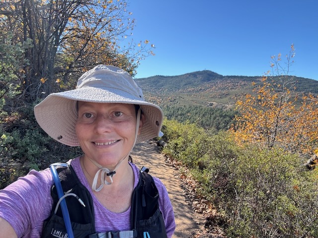
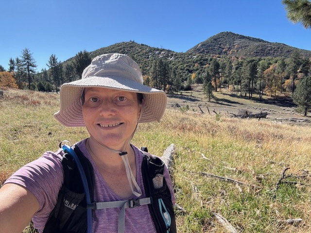
So this would be my second time hiking in this beautiful wilderness park, this time on a busy weekend in fall, where I was hopeful I could explore the park, without the thought of tragic events of the past lingering in my mind, barring enjoying hiking here today. The familiar granite dome of Stonewall Peak was now in my sights, as I made my way to the trailhead.
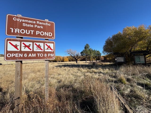
I drove up Hwy-79 and parked at Trout Pond trailhead arriving at 8:45 am. I did not notice any indication of the need to display a parking pass here. There were about 5 cars parked here, and across the road.
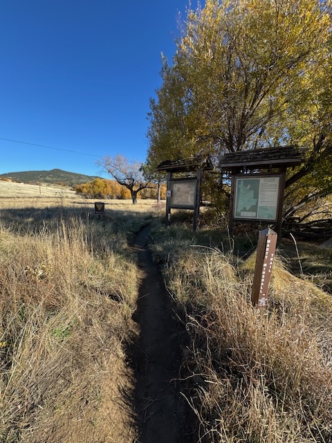
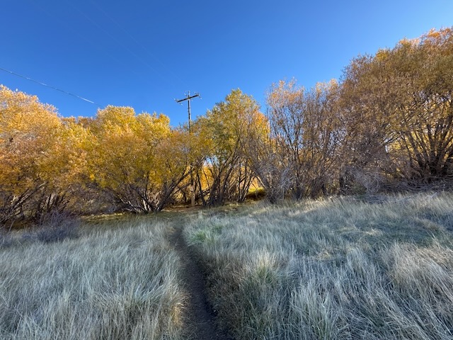
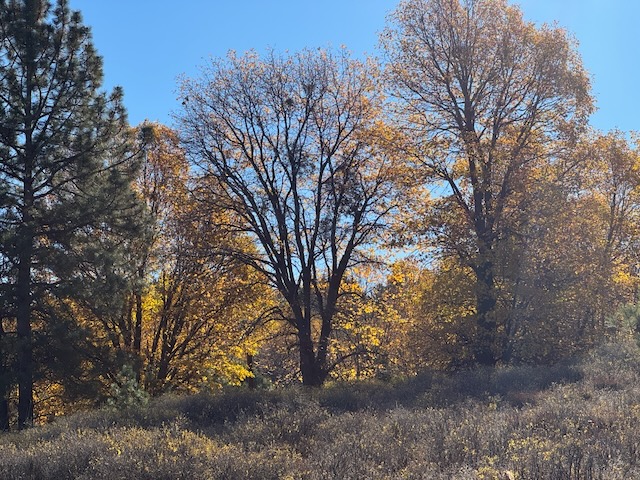
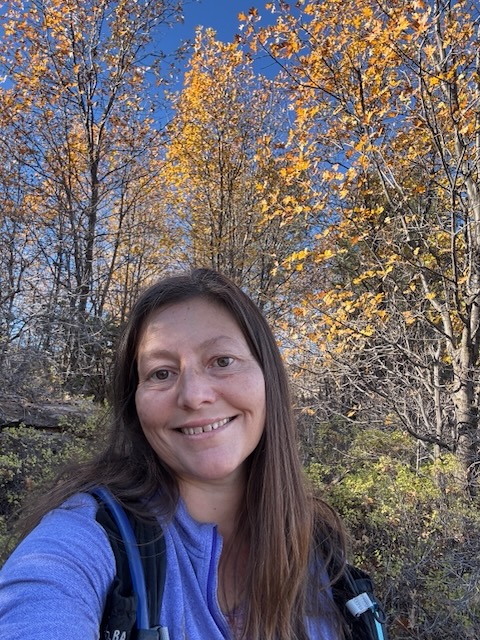
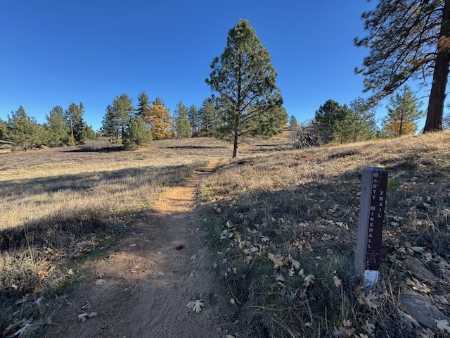
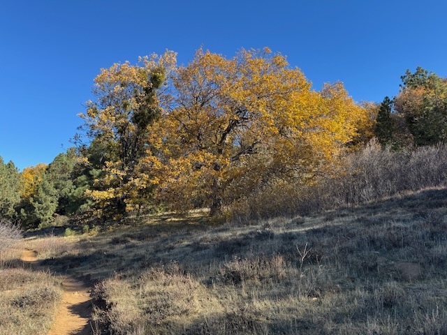
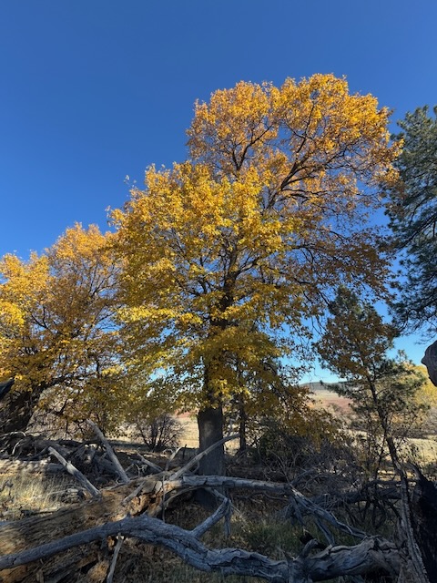
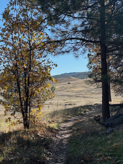
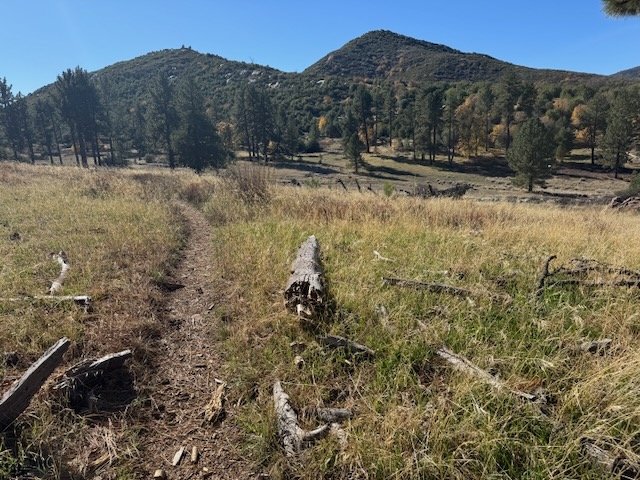
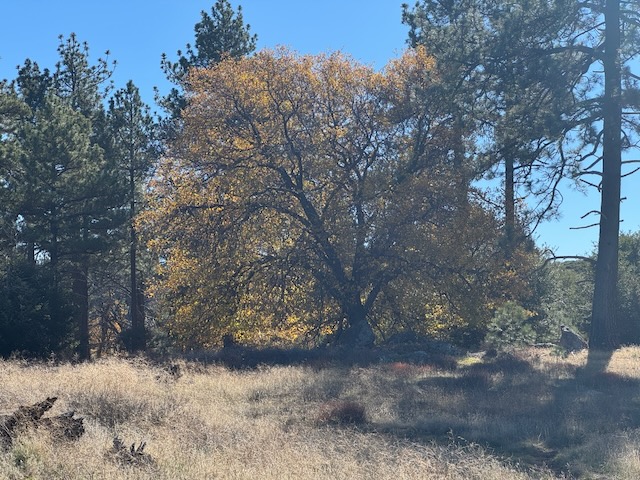
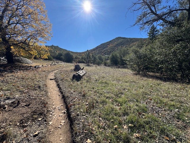
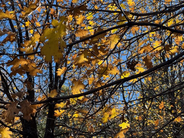
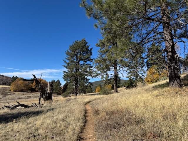
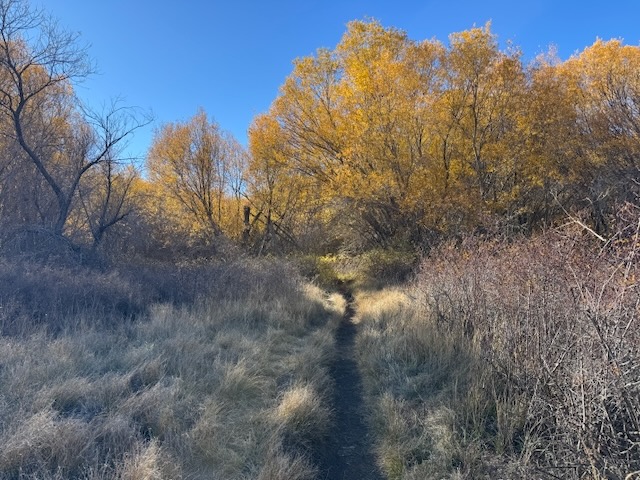
I exited my car and was just in awe of the fall colors. It had been unknown to me in planning this hike that the fall colors would be at their peak. I began hiking along the Marty Minshall Trail, heading towards the forest, which was glowing golden in gorgeous bright yellow hues.
The trail is named after a woman named Marty Minshall had once owned the ranch lands along the northeastern boundary of the Cuyamaca Rancho, near the Stonewall Mine and Lake Cuyamaca area. In April of 1975 she donated 41.67 acres of land to the state, which then acquired the Stonewall Mine, in order to preserve it for generations to come. Margaret “Marty” Minshall continued to have “the right of access to her residence over an existing road to her home” until her death. The state then dedicated this trail to her in her honor for her generosity.
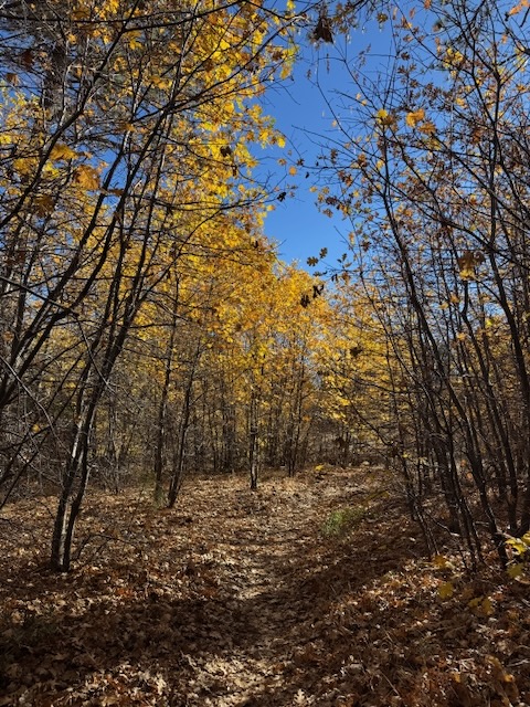
The trail took me through a beautiful peaceful meadow, and through a tunnel of trees. The trail was open and clear of brush since it was late fall, leaving a clear path. I was feeling so hopeful amidst all this beauty that I could enjoy all the beauty of this hike, free from worry, and was excited to explore the park.

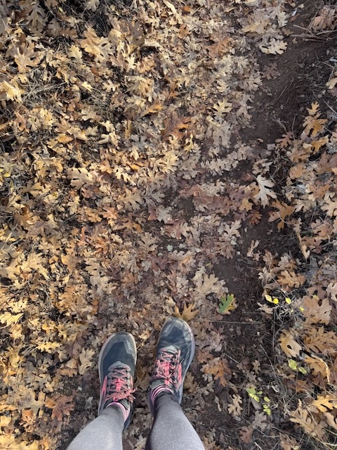
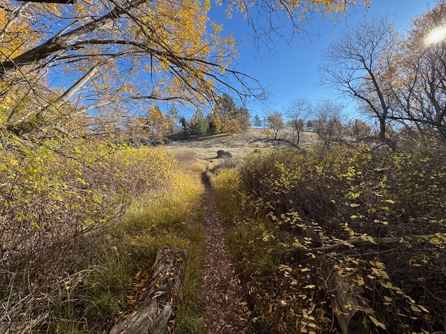
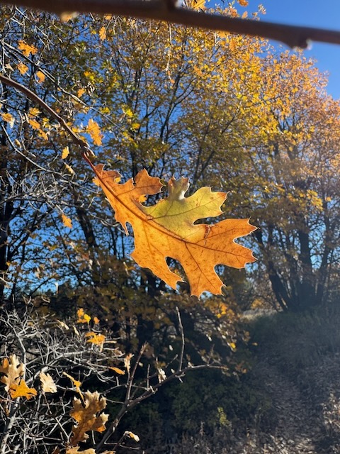
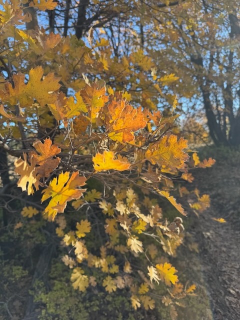
As I continued on, meandering my way through the forest, I began walking along a path lined in crunchy dried fallen leaves, as golden light filtered down all around me, illuminating the oak leaves in shades of yellow laced with orange.
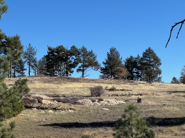
Each successive meadow had its own strange allure and peaceful scenery.
I was mostly focused on all the beauty around me, but I could not help but wonder what I could not see, beyond the leaves.
But I put these thoughts to rest. Creatures large and small call this place home. I was in their home, and the wilderness is wild. No place we go in life, on a highway, an airplane, a shopping center or a neighborhood, can ever 100% safe. I was hiking in mountain lion territory, but it would do no good to give this a lot of thought. Those thoughts would only take away from enjoying this place. No risk, no reward. I traveled further onward along the beautiful Marty Minshall Trail.
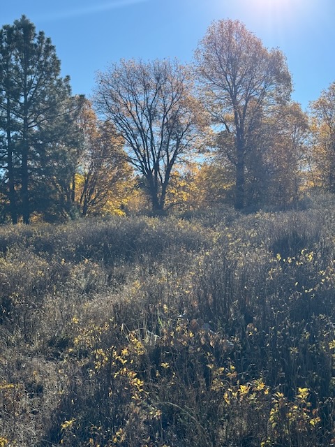
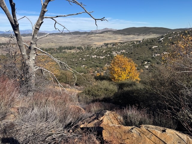
At every turn was a new and interesting fall landscape, the dark green mountains contrasting with the golden leaves, and the muted earth tones of the meadow.
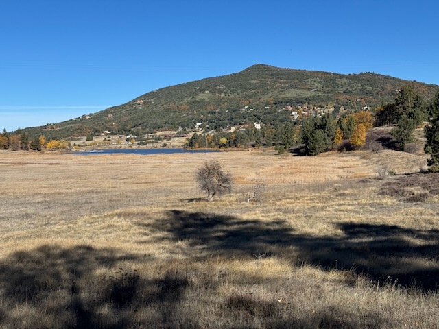
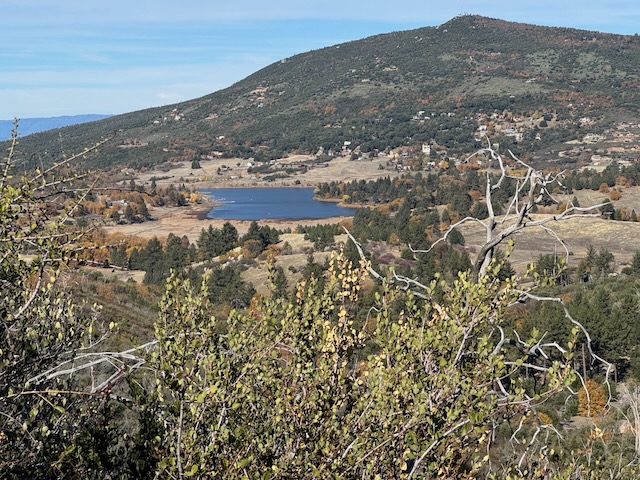
Continuing along Marty Minshall Trail, I passed by Cuyamaca Lake, and began hiking alongside it. There was an offshoot trail leading towards it, which I mistakenly veered left on, but I soon turned back, noticing a sign, requiring a permit to hike. Lake Cuyumaca is popular with fishermen and is not part of Cuyamaca Rancho State Park.
Off in the distance I noticed homes perched on the hillside above the lake, likely part of the town of Julian or possibly in an unincorporated area, outside the town limits. Either way, the town is the closest place around to the park, and another great destination in itself, known for its great pies, along with apple picking.
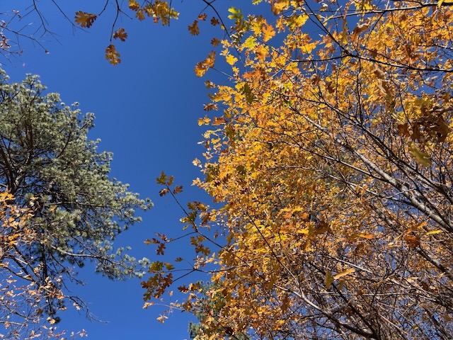
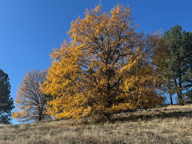
I was just in awe of the beautiful oaks along this stretch of Marty Minshall Trail, as I dipped in and out of forested glens.
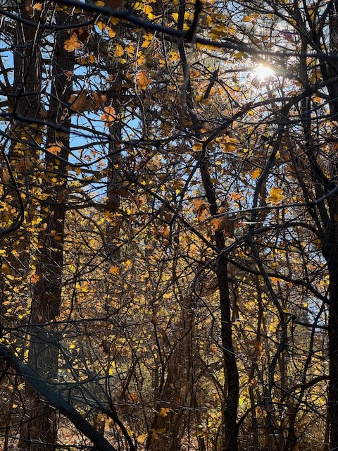
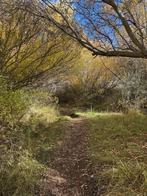
I felt like I was walking inside a beautiful storybook from my childhood, the trees perfectly backlit, illuminating their various forms.
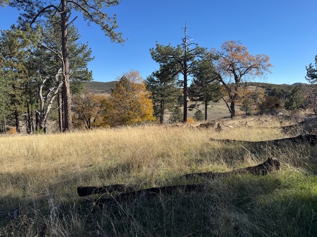
I walked on, noting the remains of absolutely gigantic trees, some which likely succumbed to the devastating Cedar fire in the park some years ago, intermingling with many live ones. Not all of the park burned in the fires, and the forest has since regenerated itself.
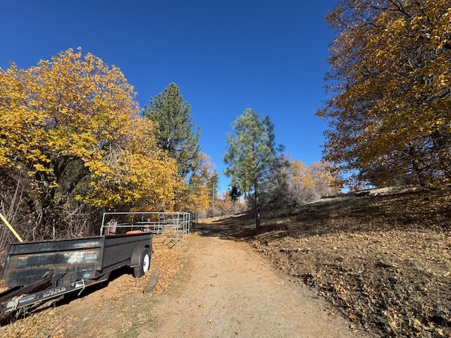
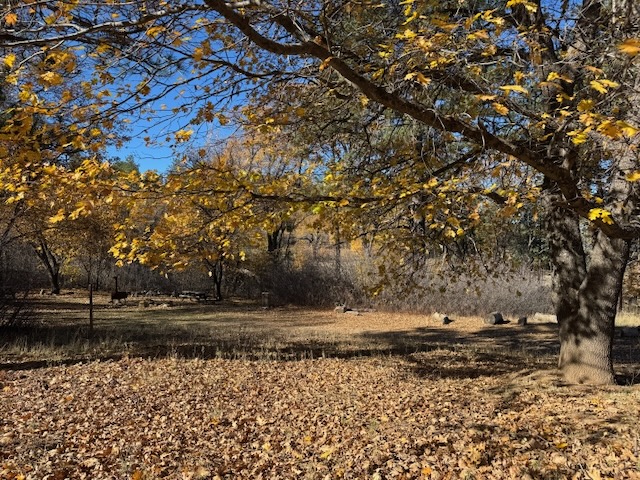
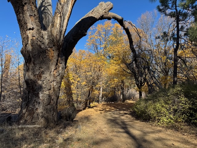
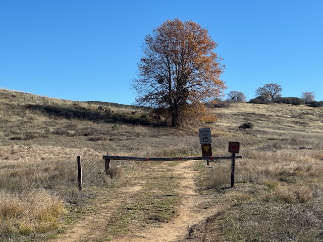
I continued along the trail, making a left at a road, staying on Marty Minshall Trail, passing a shaded picnic area, which too was framed in fall color. To my right, in this vicinity was the Stonewall Mine, but I would save visiting there for another time.

By about 9:30 am I was 2 miles into my hike and had reached the eastern side of the trail, which borders on the Kumeyaay Soapstone Cultural Preserve, a place where a native soapstone quarry can be found, along with the remnants of ancient villages. This is a place I aim to explore further, such as hike along the Soapstone Loop, an 8 mile hike through grasslands that begins at the Sunrise Trailhead, along Sunrise Highway, where the PCT also branches off. This is where I parked when I hiked 20 miles out and back along the PCT.

Along this section I found wide open swaths of grassland, some red hued, indicating wild buckwheat, an important native food crop of the first native people to inhabit this area. Seemed like an African savannah, a place big cats might hide out, amongst the grasses. I quickly turned my thoughts to other matters, such as being present in the moment.
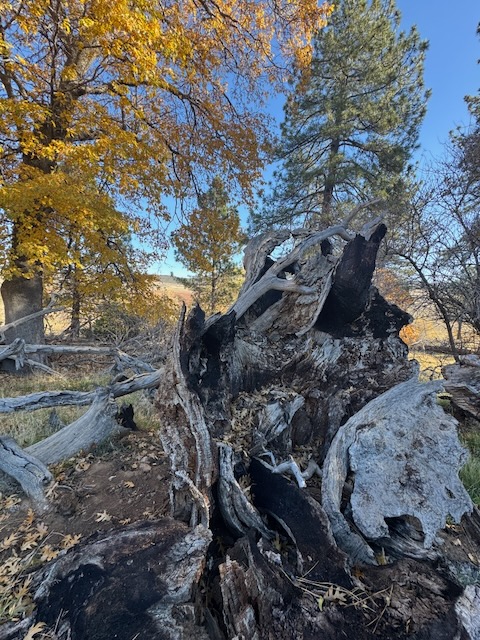
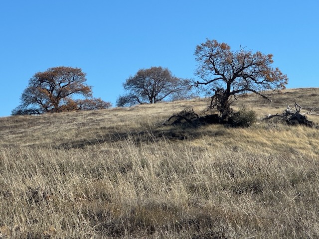
The remnants of fallen oaks punctuated the somewhat deserted looking landscape.
I then noticed two photographers along the trail, cameras with long lenses in tow. I asked them about birdwatching, and they noted they had just seen a bald eagle, which they were following. That changed everything, since there was another layer to this adventure. I knew there was a chance at another eagle sighting, a bird I had only seen a few times in real life, versus photos. I then ran into another photographer, who was part of the group I ran into earlier. I am in the wander around and take pictures crowd. He pointed out the general vicinity of where the bald eagles nest was, just down the trail. I had a description of the tree, and other indicators, and was grateful, along with hopeful I might possibly spot one. I wandered around in search of the nest, staring up at trees, in search of it.
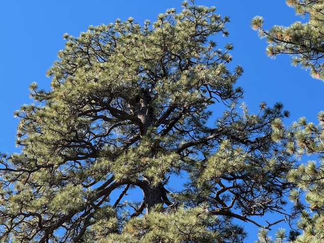
A large nest was slightly visible, in one of the tall trees. I was not sure if I had found it or not, since there was no way to get confirmation, and no eagles were present. These birds are smart. They choose the best trees, shielded from view. I cannot imagine what it would be like to be an eagle guarding their nest, from predators who climb, and who fly, such as hawks. This section of the forest seemed to have the tallest trees, and I could see why eagles might choose a spot such as this to nest.
The meadow down below would offer them abundant small critters to feed their young, and the lake, abundant trout from the nearby lake. It was an eagles paradise, far from any large town, a place they could live freely. They are after all the symbol of freedom for our country.
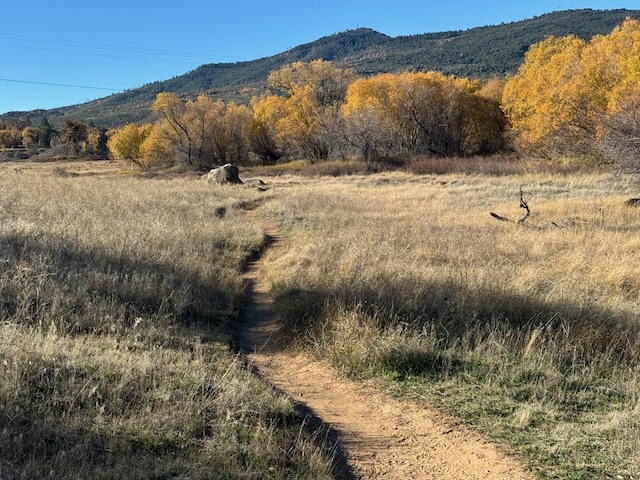
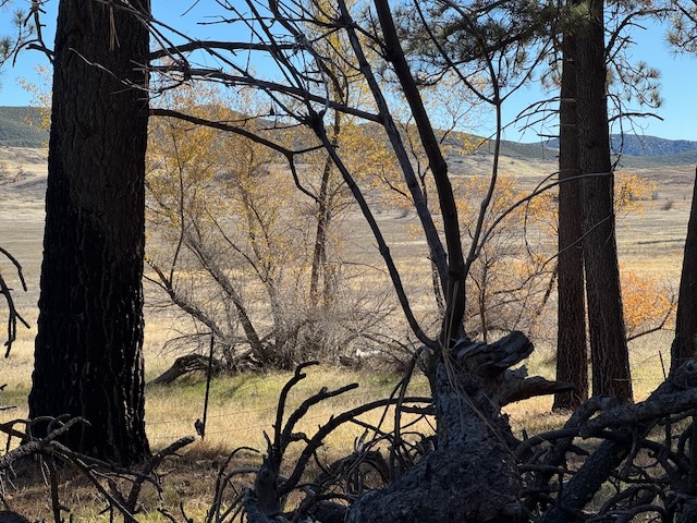
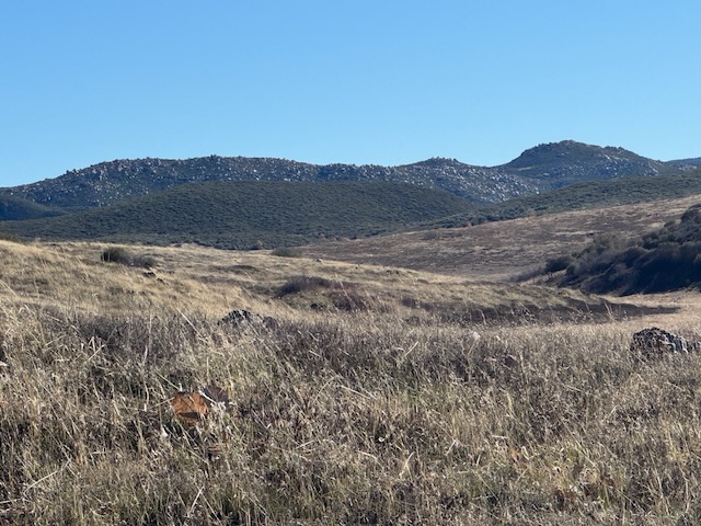
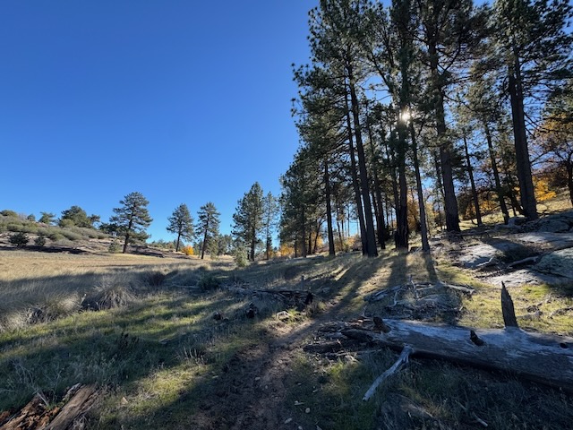
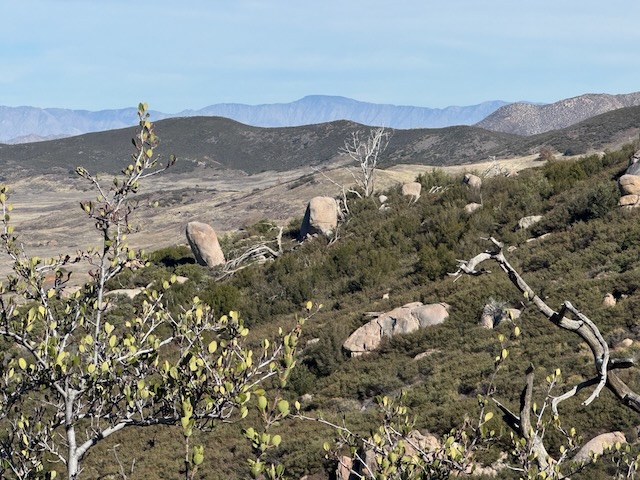
The trail eventually made its way out of the forest, through a dry and grassy meadow area, mostly devoid of vegetation to the east.
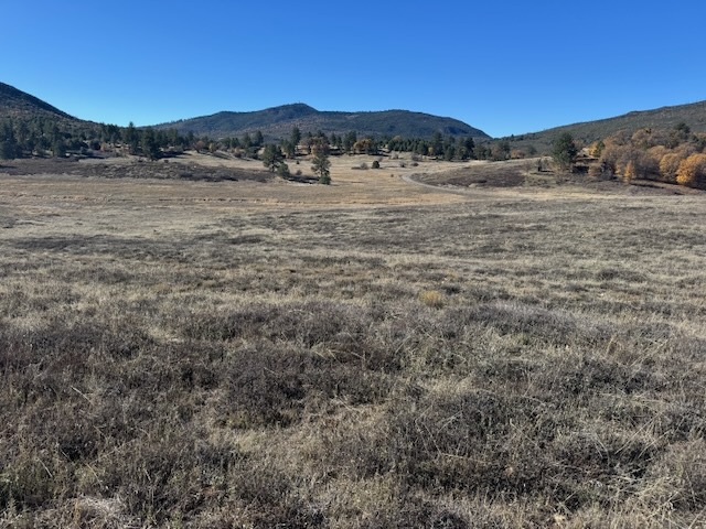
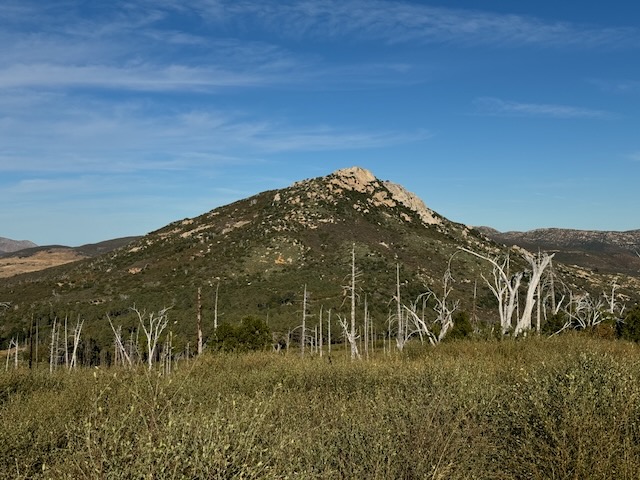
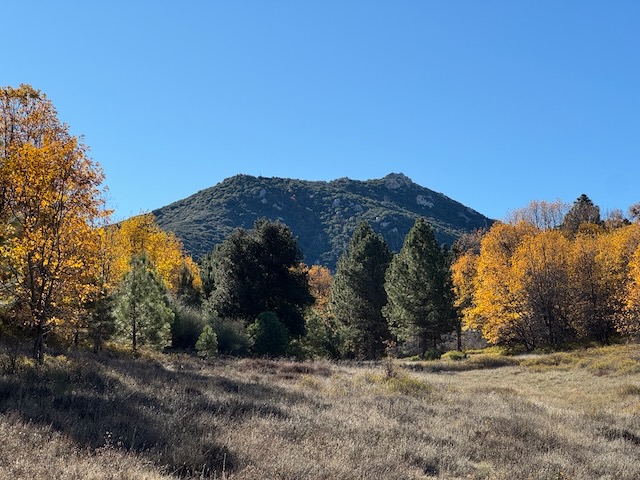
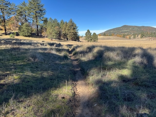
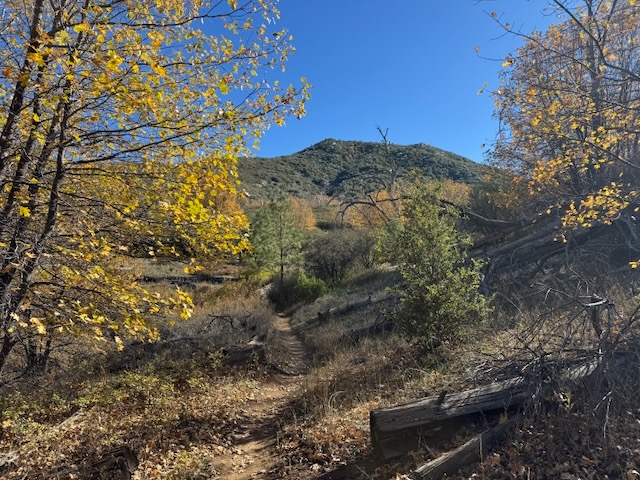
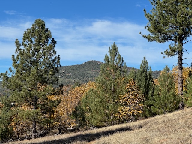
I crossed a dry grassy field, with a clear view on to Cuyamaca Peak and Stonewall Peak It would be difficult to get lost here since the landmarks are easy to notice, though I will always have a downloaded map wherever I go.
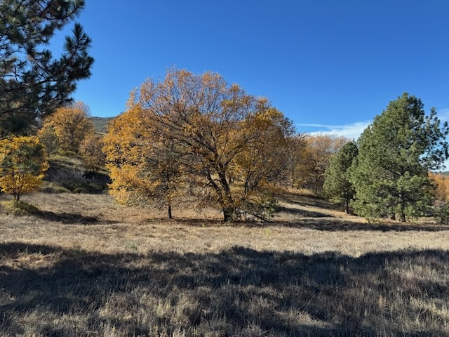
It was a classic California landscape along this section, grassy hills dotted by majestic oaks.

I have been along trails such as this before, and it was reminiscent of a section of the PCT I hiked from Montezuma onto Eagle Rock and Warner Springs, which passes through cow pastures.
There were visible cow patties along this stretch as well, and Stonewall Peak was now within my sights.
I passed by a trailhead which heads in through the East Mesa and the Soapstone Cuish Cuish Preserve, a place with history of human habitation stretching back 9,000 years or more. This is another place I am interested in exploring soon. This area includes the remains of seven Kumeyaay villages here in Cuyamaca Rancho including: Ah-ha’ Kwe-a-mac,Hual-cu-cuish (Hal-kwo-kwilsh), Mesa de Huacupin (Juacuapin), Pisclim, Mitaragui, Pilcha, and Pam-mum Ah-wah. They mined soapstone here and used it to make “arrow shaft straighteners, beads, sucking/healing tubes, smoking pipes, heating stones, and amulets,” according to the Viejas band of the Kumeyaay.
According to California State Parks:
"The cultural story of the land that is now Cuyamaca Rancho State Park starts far in the distant past...scientific evidence, such as radiocarbon dating, indicates that people have been living in southern California for more than 9,000 years, with some evidence from the Channel Islands pushing the date back to at least
13,000 years. The resources of the Cuyamaca Mountains, including ample wildlife, plants, water
sources, and stones that could be shaped into tools, made this area ideal for habitation and procurement
activities. " - CA State Parks
You can read more about the cultural and archeological history of this park here.
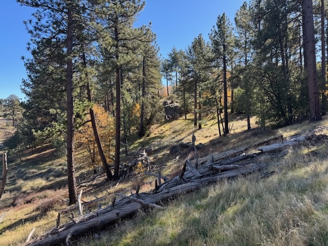
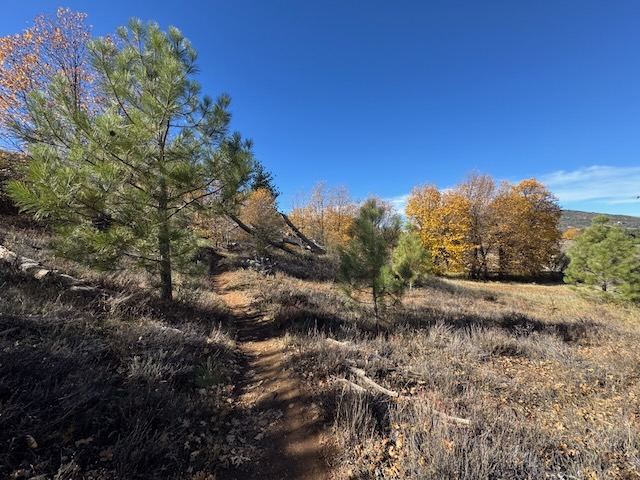
I entered the forest once more, edging closer to Stonewall Peak.
The meadows were starting to green up, with new grass springing forth much earlier than I might expect. Was it fall or spring in California?
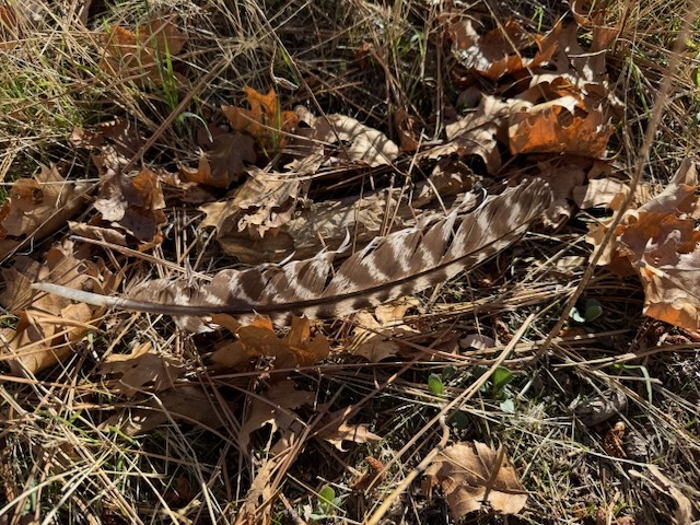
I had been thinking a lot about eagles and suddenly noticed a blue feather, of my favorite mountain bluebird, which I picked up. I don’t usually pick up feathers, but this felt symbolic in some way. I said to myself, I wonder what an eagle feather looks like. Not long after having that thought, I came across this beautiful turkey feather.
One thing I noticed about hiking along this section was how few hikers were here. I would not run into anyone along this section, until I began the climb to Stonewall Peak.
It was about 10:30 am as I made a left off The California Riding and Hiking Trail, and began making my way on to the peak.

I began a steady uphill climb to Stonewall Peak, the view obscured by tall and dense brush on both sides of the trail.
Soon the trail rose in gentle switchbacks to reveal, a rocky hillside and distant peaks.
I was able to clearly see the valley below, and Lake Cuyamaca.
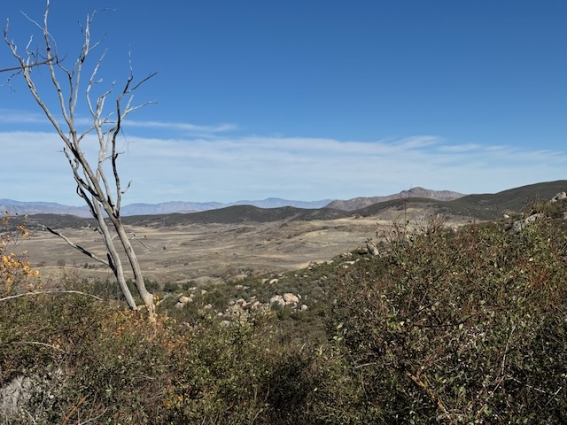
The views stretched far off into the Santa Rosa and Jacinto Wilderness.
The higher I climbed I got a better glimpse of the most distant high peaks of Anza Borrego, Rabbit and Villager Peak..
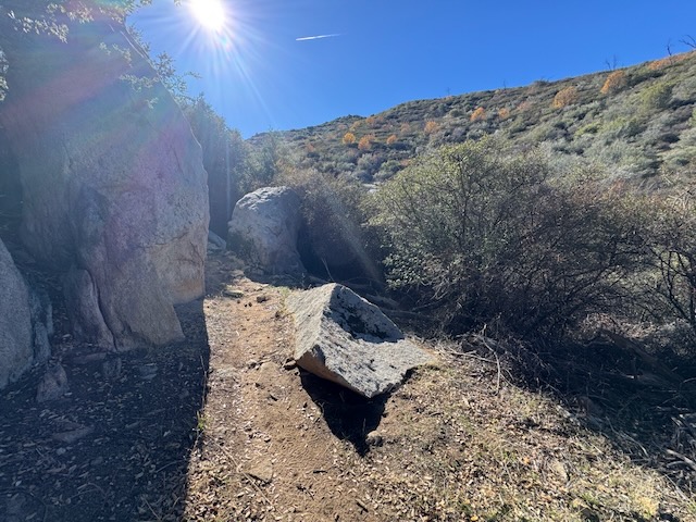
This trail was more rugged and rocky than the grassy meadows I had spent most of the day exploring. From this approach, the trail still remained deserted.
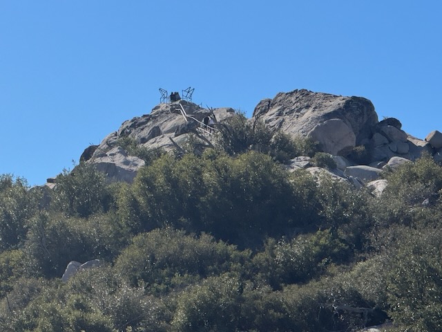
Eventually I hit the saddle, ran into the first hikers in a long while, and could spot Stonewall Peak’s granite dome up ahead.
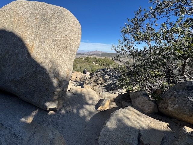

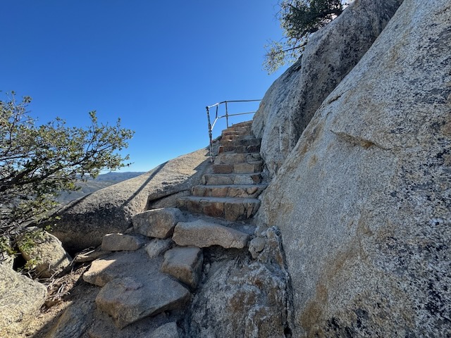
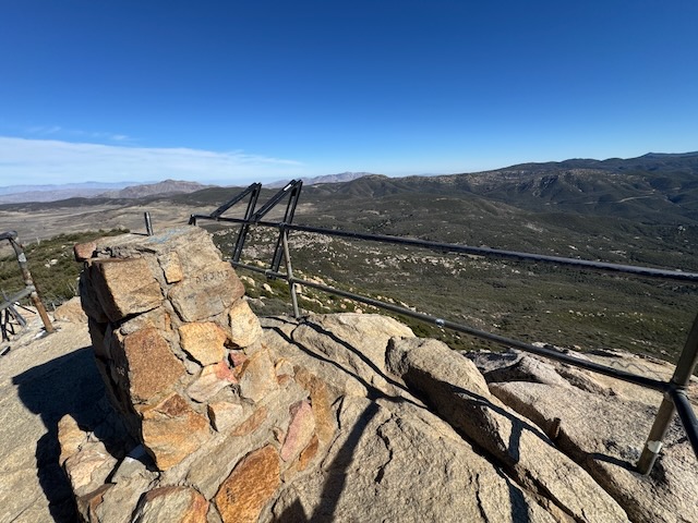
I reached the peak after scrambling over granite boulders, and ascending granite stairs.
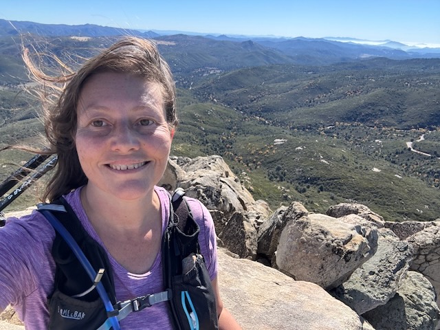
The peak had the most amazing views. Again, I was lucky to have it to myself for a moment.
The peak has a very small area, and as one group exited, I made my way up. I could see another group behind me now. Most people will hike to Stonewall Peak from Paso Picacho Campground, which is where I hiked to Cuyamaca Peak from. It was a busy and popular peak, yet the route I chose was the least busy of all, along with longer. I enjoyed this moment on the summit a few minutes before making room for the next group.
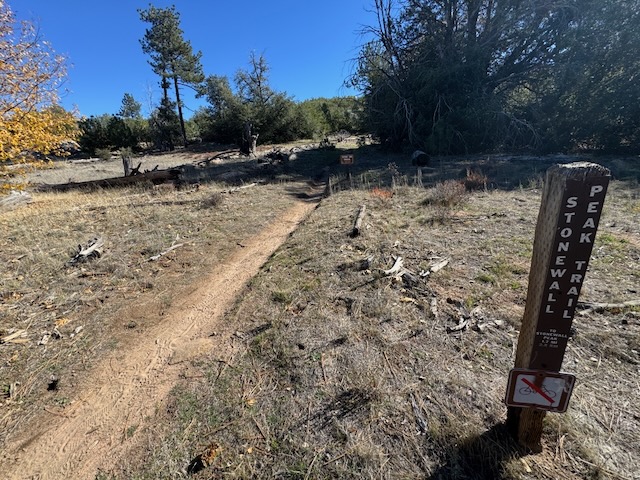
I decided to extend the hike a bit by taking the switchbacks down toward Paso Picacho and take Cold Spring Trail back. Along the way I would run into constant groups of people, and I found this part of the trail much less peaceful and quiet. I had a great view across the way of Cuyamaca Peak though, which is the highest peak in San Diego County.
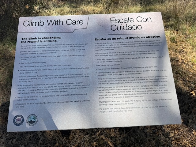
I noticed helpful signage at the foot of this trail.

Once on Cold Spring Trail, it was much more peaceful and quiet, since the trail was again deserted, despite being alongside the road.
I passed over a road leading to Stonewall Mine, and it became open grasslands once more.

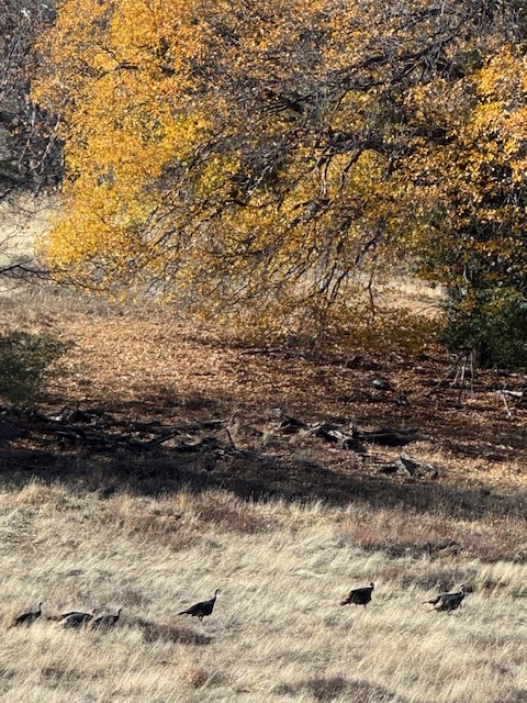
I continued across dry grassy fields, noticing a flock of wild turkeys off the right. That feather I saw earlier was like a sign of what was to come. Being that it was Thanksgiving weekend, this increased my level of gratitude even more.
As I made my way on back, returning to Marty Minshall Trail, finding the leaves still so golden, and illuminated. I left with a feeling of thanksgiving, for the hike and for the freedom to explore without fear dictating my steps. I made it back to my car around 1:30 pm. I was grateful to finally experience a hike through Cuyamaca Rancho in all it’s glory, during peak fall colors. My hike was 10.2 miles and took 4.5 hours to complete, with stops. It was tough not to stop along this hike, since there was so much to say, and lots of birdwatching, which involves stopping a moment, to look and listen. That is something I love to do and another reason I love to take solo hikes. It clears out all the noise of the world, so I can listen to what I need to hear.
Until next time Stonewall Peak and Cuyamaca Rancho State Park!
I hope you enjoyed reading this, and it is helpful in knowing what to expect, should you decide to visit here.
Click here to watch my youtube video of Exploring Cuyamaca Rancho and Stonewall Peak During December on my channel @serafinahikes on youtube.
Leave No Trace
Just be sure to come prepared and follow Leave No Trace principles to keep the wilderness pristine for future hikers.
About me
I’m Serafina! I’m a writer and California girl who loves to go exploring. Hope you will get outside today, breathe some fresh air, and be happy!
Like and Subscribe to my Channel!
Follow my Journey @serafinabenjamin
Follow along on My Youtube Channel where I post videos!
Disclaimer:
The work on this blog is my opinion and my opinion alone and I am not responsible for the outcome if someone were to apply these thoughts to their own life. All text and photography copyright 2025 by Serafina, all rights reserved. Information and opinions provided are kept current to the best of the author’s ability. All readers’ usage of the ideas and opinions presented in the blog, are at their own risk. Be aware of the possible dangers of hiking, surfing, walking, cooking, and other activities, which may take place indoors or outdoors. By reading this, you agree not to hold the author or publisher of the content on this web site responsible for any injuries or inconveniences that may result from reading the blog, or partaking in any activity mentioned in the blog. Read the blog, and use its ideas, if you so desire, at your own risk.
