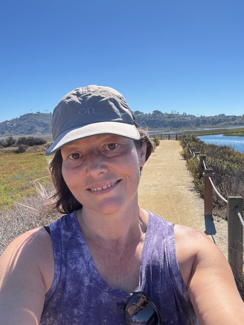
I have known of Annie’s Canyon a few years, yet strayed away from visiting it, placing my efforts more on long strenuous climbs, challenging myself. I did not think this would be challenging, and I knew it was a very crowded popular spot, so I kept putting off visiting here. The trail through the San Elijo Ecological Reserve leading toward Annie’s Canyon, has several different options to accessing the canyon. So I drove south from Orange County to Solana Beach, in coastal San Diego County to explore the reserve and slot canyon.
The Trailhead
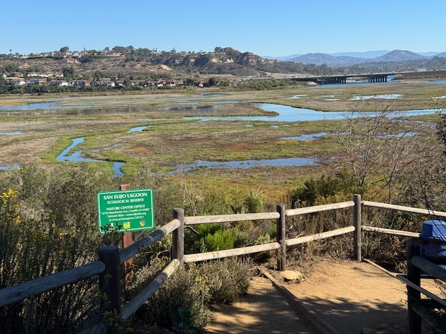
My main destination for this hike today, was the slot canyon. I ended up choosing the trailhead located at the end of North Rios Avenue, also referred to on maps as the Gemma Parks Interpretive Trail. The San Elijo Lagoon is an estuary, surrounded by a series of winding trails throughout the marsh. The trails run from the coastal side, crossing beneath the I-5 to the inland side of it.
What to Expect
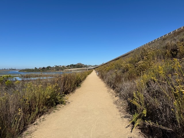
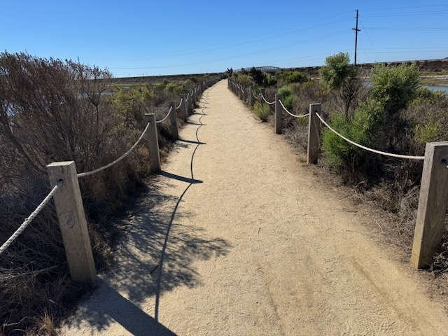
Here you will find the trails, walkways and paths maintained, well marked, and fairly flat, with the exception of a short section of Annie’s Canyon trail.

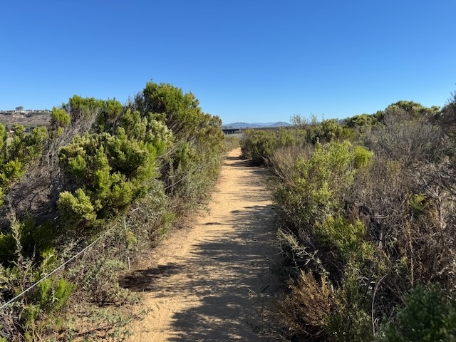
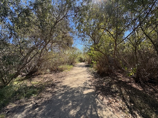
I began hiking toward the lagoon area, east along the trail. The trail immediately dipped down into a shady area of oak trees. It was a Monday, and initially the trail felt like it was swimming with visitors. There was a mix of joggers, small groups, and families here. I was surprised to see so many people mid-week, which speaks volumes about the popularity of this hike.
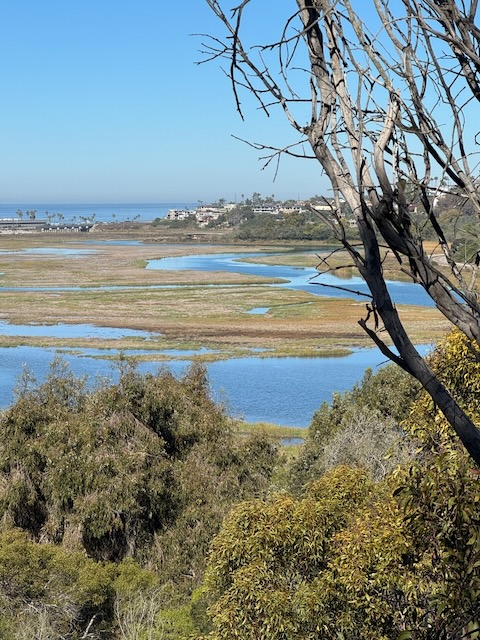
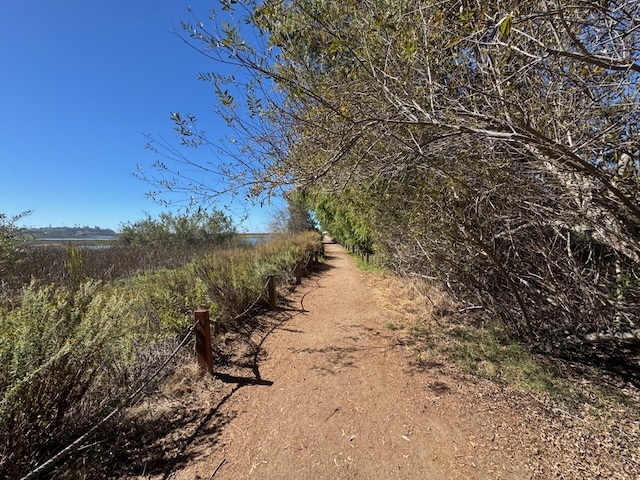
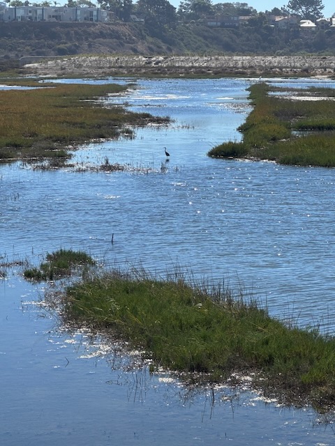
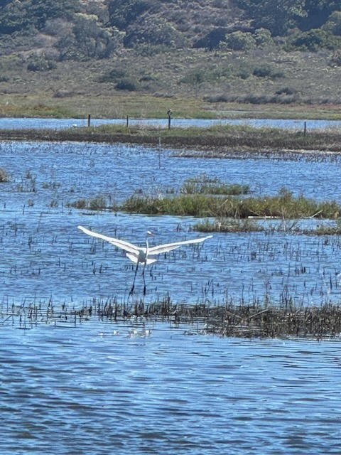
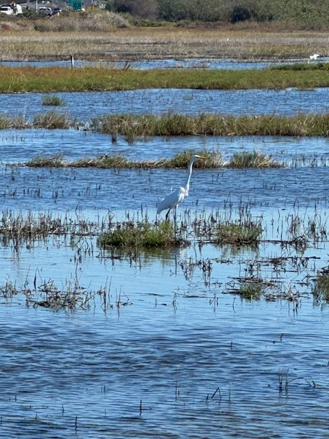
As I walked along the lagoon, there were scenic views across the wetlands. The trail branched off towards the lagoon, so I headed that way, staying to the left.
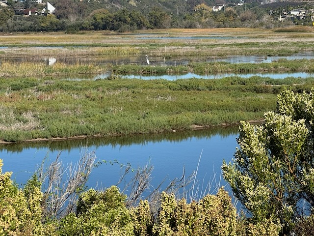
It was a classic coastal California wetland scene with migratory birds such as the Snowy Egret, hunting for fish.
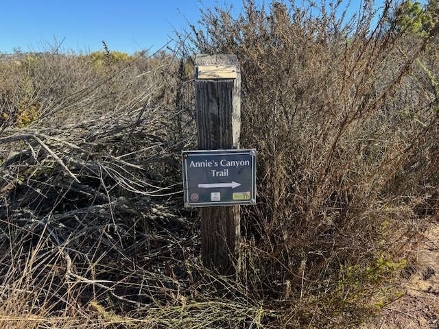
The trail linked back up to the main trail at the entrance to Annie’s Canyon.
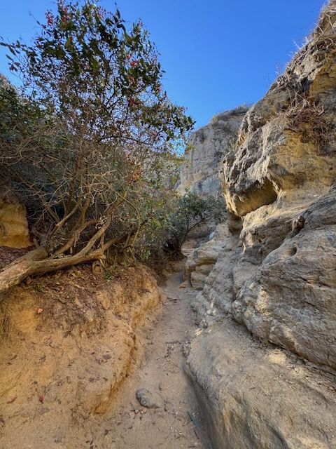
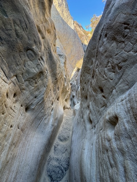
As I hiked inward, entering the canyon, it rapidly became noticeably more and more narrow, reminding me of my hike to the Wind Caves and the Slot, a canyon in Anza Borrego State Park.
I felt like I was back in the desert again, more than on the coast.
The desert after all, has multiple slot canyons, carved of sandstone, all highly prone to erosion, and in a constant state of change.
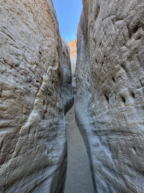
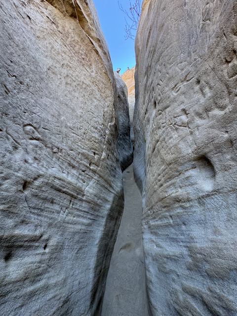
As I hiked through the canyon, it narrowed down to no more than a foot wide.
Leave no trace
I always leave the natural formations in their natural state. That way the next person can enjoy it, and their children, along with their grandchildren. Etched in the sandstone here were the mark of hundreds of visitors, leaving their personal stamp on it. Maybe it is a right of passage, to carve one’s name into a landmark. But unique canyons like this, formed by wind, water, and time, cannot be replicated. So once it’s gone, it’s gone. Every time someone carves into these cliffs, they take away from the natural look and landscape, forever changing it for only their own benefit.
Why not leave these natural wonders as they are?
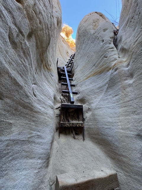
After a few minutes of climbing steadily upward through the canyon I reached a ladder rooted firmly in the sandstone cliffs.
This ladder took me back to the time I hiked another desert canyon, called Hole in the Wall, which had ladders made of rings. Then there is Ladder Canyon out in Coachella Valley. My most memorable and hazardous hike including a ladder climb was actually in a place you would least expect, far from any desert, near the Catskills in New York.
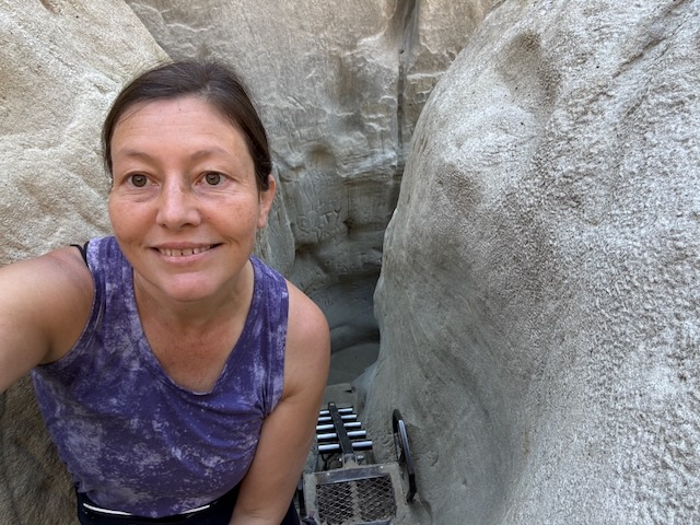
I made my way up on up, taking my time as I climbed. This hike was short and sweet, taking no more than 10 minutes to complete in its entirety. I got lucky today, since there were only a couple in front of me, we decided not to continue, and two gentlemen had just finished ascending the ladder, so the timing was right. I can imagine any other day, there might be a crazy line to climb this single ladder.
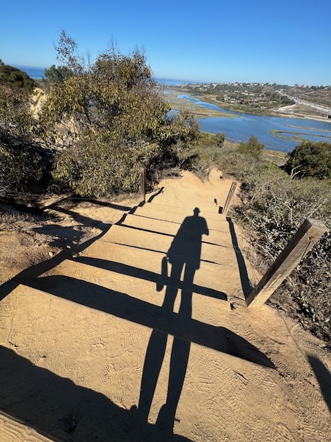
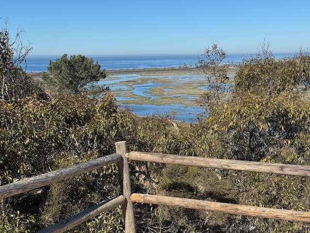
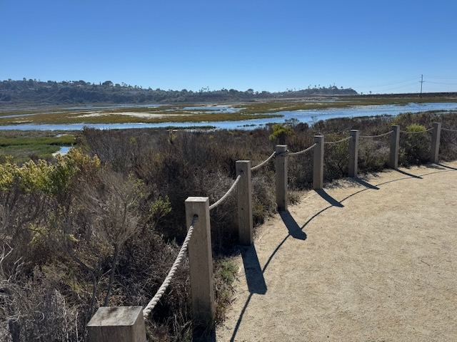
Standing atop of the unique sandstone formation, there was an excellent view of the whole lagoon area, from the overlook. I made my way back down, intent on exploring as much of the San Elijo Lagoon Ecological Reserve as possible. I loosely sketched a route I would take in my mind, and with the use of Alltrails. The route I decided on was all new to me, and there was no exact map to this route. So I would use a combination of maps to navigate.
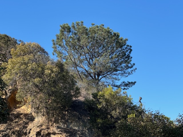
The reserve turned out to be quite a peaceful place, despite its proximity to the I-5 freeway, with it’s mix of pines and classic coastal scenery.
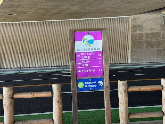
I continued along the trail, heading east. It intersected with the North CoastTrail, beneath the I-5 freeway.
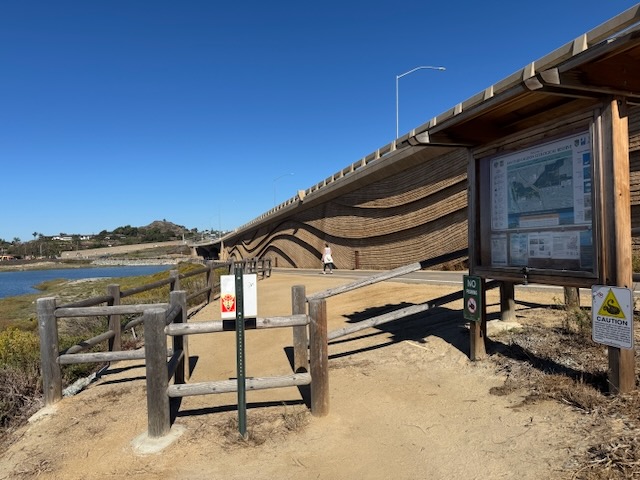

I consulted the map at the trail access point, noting points of interest and trails, before continuing on, alongside the I-5.

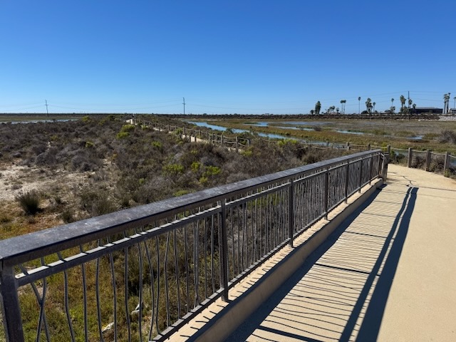
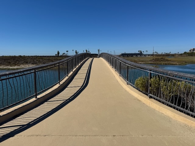
The trail became paved, and has a unique wave pattern, echoing the waves offshore.
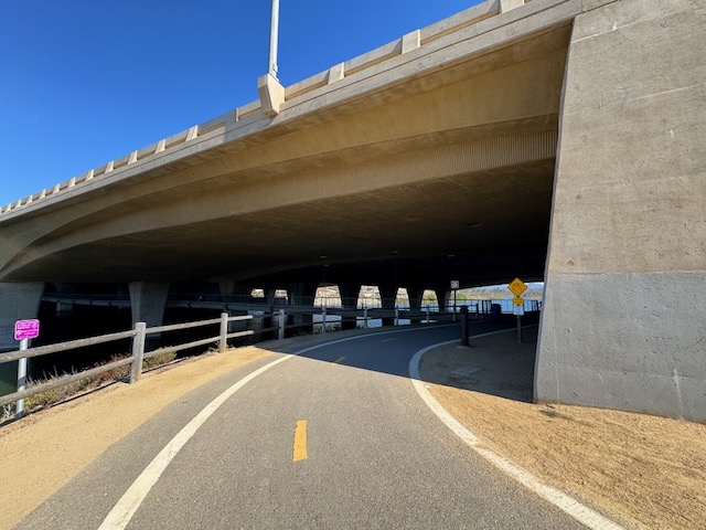
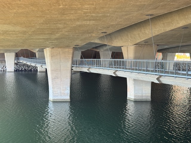
As I passed under the highway, I was surprised to find a hidden footbridge, under the highway, crossing over to the other side of the lagoon. It was nice and cool under here. It was beginning to get warm out, so cooling off was inviting.
I planned on taking this footbridge later on, following the signs for the North Coast Trail, to further explore the north side of the reserve.
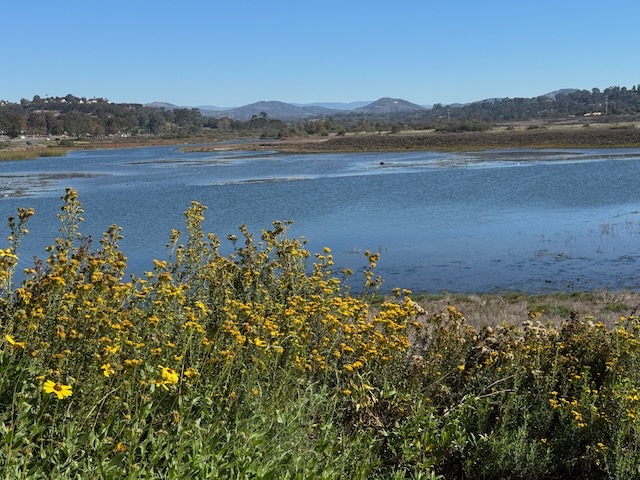
I reached the other side of the marsh where the inland mountains were visible in the distance.
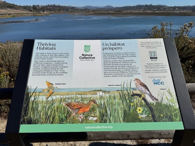
There were interpretive signs along the trail, noting the various creatures who call this place home.
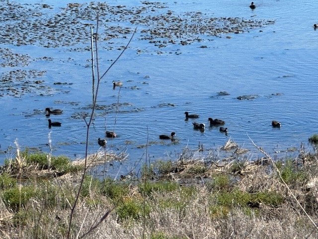
Maybe a dozen more shorebirds were swimming about in the water here.

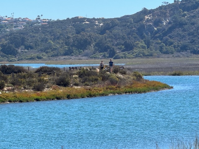
I decided to explore further along the eastern side of the reserve, so I continued along the trail, bound for Tern Point.
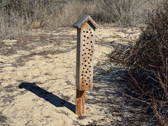
After a short while, I then noticed a wooden box drilled full of holes. I wondered if it was meant for hummingbirds, as a nesting box of some sort.
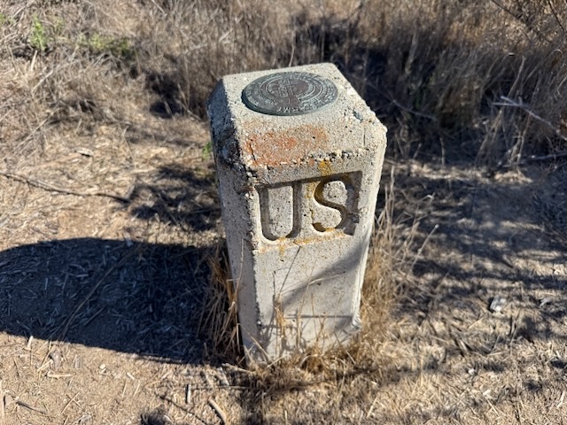
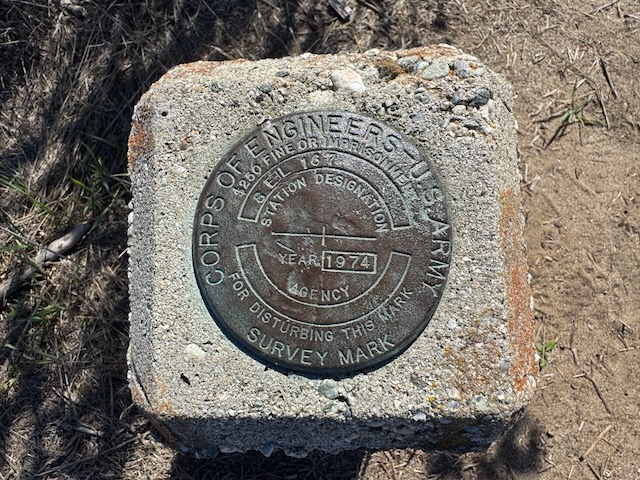
I then noticed a USGS marker, a bit further on along the trail.

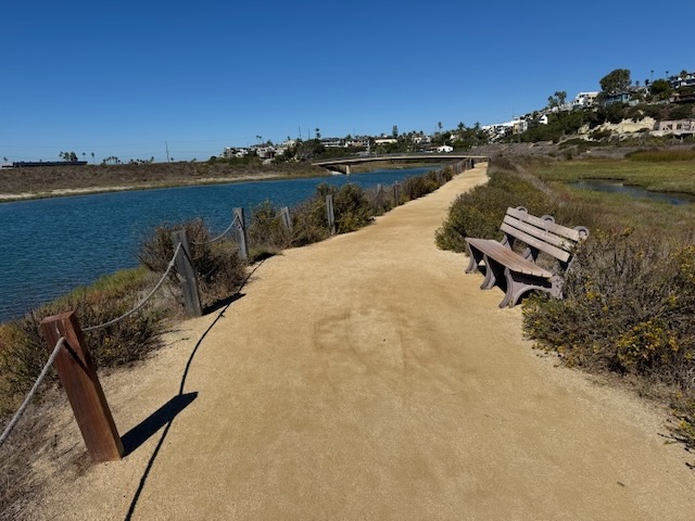
I reached the overlook at Tern Point, which has a bench to sit and take a break while enjoying the scenery.

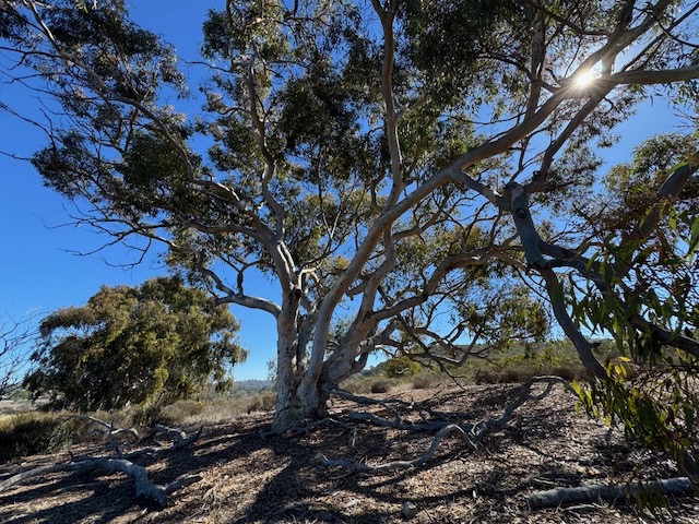
I then continued along the loop, to link back with the trail, and head back the way I came, heading through sandy terrain, and a small Eucalyptus grove.

I made a right at the turnoff, heading under the bridge, crossing it to the other side of the lagoon.
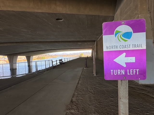
I then made a left along the North Coast Trail, to explore the north side of the ecological reserve, which briefly took me along a busy road leading to Pacific Coast Highway.

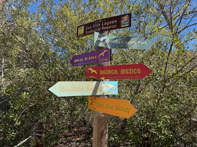
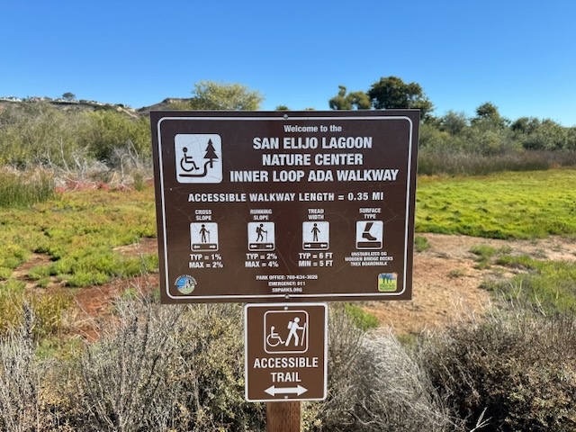
I was grateful to pick up the trail again, as it turned back toward the lagoon. It was easy to find my way with signs like these.
I made a left at the crossroads, through a tunnel of shady trees.
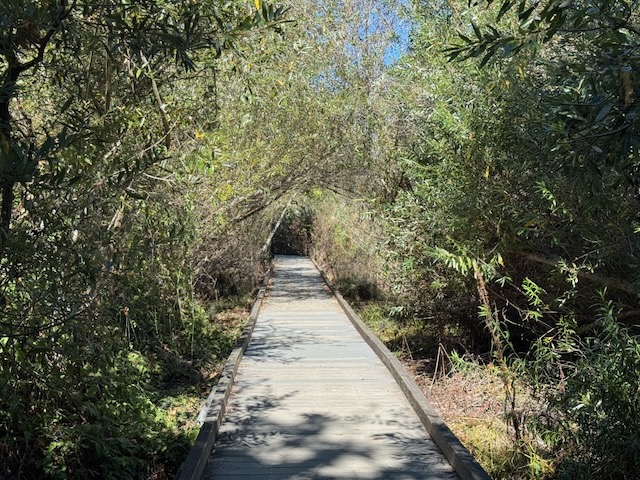
I walked back along the lagoon, where it was sunny and warm. The trail was bisected by wooden boardwalks.
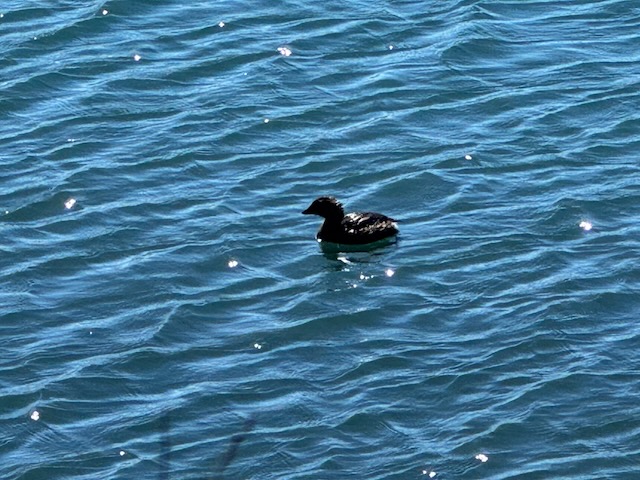
There were plenty of opportunities to get a closer look at the many migratory shorebirds here.
I wide flat trail continued along the edge of the lagoon, winding its way towards another footbridge.
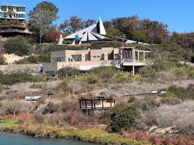
At this point I was close to the nature center, which sits along the northwest edge of San Elijo Lagoon. I could have made a detour to it, but continued on.
I was enjoying this part of the hike, since the trails were open, empty and well maintained. It was also a beautiful sunny day.
I crossed over the footbridge, and headed south again back towards the trailhead where I began the hike.

Along the way back, I got a closer look at the wild nature calling this place home. That, along with the cool ocean breezes made this trek so worthwhile.
My hike was 5.5 miles, with a negligible amount of gain, and I plan to come back again soon. It is the perfect easy hike, with cool coastal breezes by the beach.
I am not sure why I waited so long for the right moment to make the short drive to this scenic coastal area. I had passed by this hike, about a hundred times, without having any idea it was here. I learned to surf, just up the road from here at Cardiff Reef. I camped at San Elijo State Beach. I hiked down the beach from San Elijo, all the way to Swami’s.
I knew the San Elijo Lagoon’s runoff polluted the surf. Lagoons are drainages, and places where water get’s filtered, before running off into the sea. It was a part of the ecosystem, and a very necessary part. I will always get excited, when I have a new place to explore, especially one that is so close to home. Until next time Annie’s Canyon and San Elijo Ecological Reserve!
I hope you enjoyed reading this, and it is helpful in knowing what to expect, should you decide to visit here.
Leave No Trace
Just be sure to come prepared and follow Leave No Trace principles to keep the wilderness pristine for future hikers.
About me
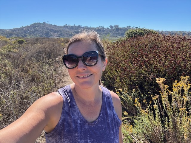
I’m Serafina! I’m a writer and California girl who loves to go exploring. Hope you will get outside today, breathe some fresh air, and be happy!
Like and Subscribe to my Channel!
Follow my Journey @serafinabenjamin
Follow along on My Youtube Channel where I post videos!
Disclaimer:
The work on this blog is my opinion and my opinion alone and I am not responsible for the outcome if someone were to apply these thoughts to their own life. All text and photography copyright 2025 by Serafina, all rights reserved. Information and opinions provided are kept current to the best of the author’s ability. All readers’ usage of the ideas and opinions presented in the blog, are at their own risk. Be aware of the possible dangers of hiking, surfing, walking, cooking, and other activities, which may take place indoors or outdoors. By reading this, you agree not to hold the author or publisher of the content on this web site responsible for any injuries or inconveniences that may result from reading the blog, or partaking in any activity mentioned in the blog. Read the blog, and use its ideas, if you so desire, at your own risk.
