I started my hike up to Bighorn Peak a lot later in the day than I was hoping to. It was around 11:30 am when I arrived at the parking area, to find it completely full on a Saturday morning. I drove downhill, parking along the road. By the time I had gotten ready to head out and reached the trailhead, it was now about 12 noon.
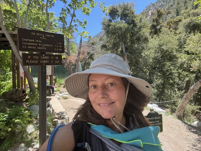
I have been to Icehouse Canyon quite a few times over the years. The close proximity of this trailhead, versus so many others in the national forest, make for just over an hour’s drive. One reason I don’t always come here is it is crowded, and another reason is I need to be up for a challenge. Icehouse Canyon is quite the training and endurance hike, taking you up 2400 feet in 3.5 miles, just to reach the saddle.
My goal today was to head to a peak, and there were several choices. I could hike to Timber Mountain, which was the last peak I hiked to here. I could go on to Cucamonga again, a peak I have been wanting to re-visit for years. It’s 4000 feet of gain, making me re-consider if I am ready today, with this late start. Then there is Etiwanda, beyond Cucamonga, which was also on the list. I have been to Ontario and would do it again, but it would be 16 miles. That left Timber and Bighorn Peak, each being about a 12-13 mile hike. My decision would be later, at the saddle and dependent on how I was feeling.
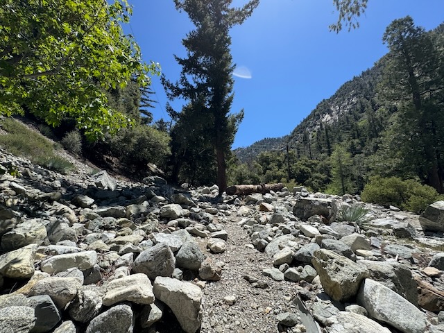
I ventured off down the rock strewn path of Icehouse Canyon, with the sound of the flowing creek off to my right.

Right away, I felt so much more at peace, beneath the shady oak trees, with the sun shining down through the canopy.
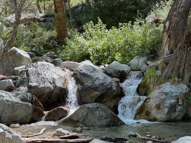
I listened to the flow of water and would stop to wonder at the countless small waterfalls, cascading down the canyon, sometimes in as a group of two.
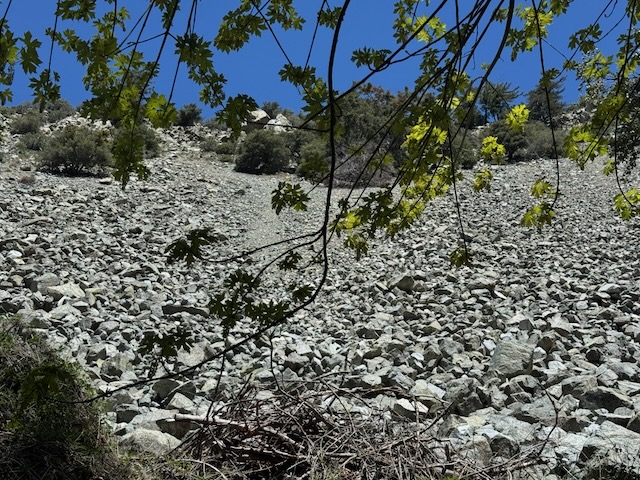
To my left, I passed the boulder field, looming above, where I tried to stay on my toes, listening for sounds of possible unstable rocks falling.
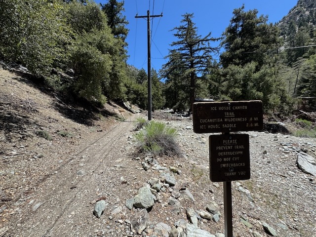
I passed Chapman Trail, another longer, more rugged way to reach the saddle, which is more challenging than the straightforward nature of Icehouse with its steep predictable switchbacks and smooth terrain.
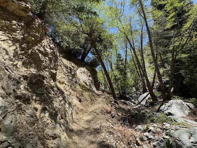
The trail can be narrow and eroded in sections, and slick in a few, where creeks flow over the trail.
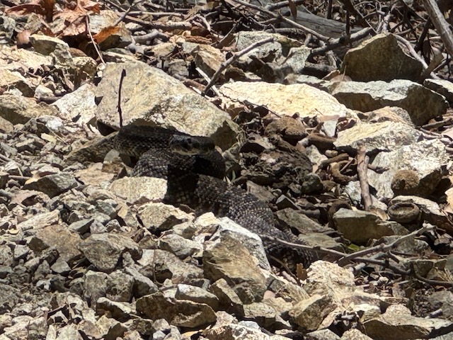
Just around the cliff corner, I heard a rattlesnake, and quickly halted my steps. It was so close to the trail, I felt it better to wait until it moved on. Hikers kept non-chalantly walking up to it, until I warned them, “Snake!” I would point and they sometimes still ignored me, as if they did not care, and were not worried.

Eventually I was able to pass that western diamondback and move on. I came to the sign for the Cucamonga Wilderness about 2 miles in. There are some massive boulders around this section, a testament to the powerful forces at work, that shape this landscape.
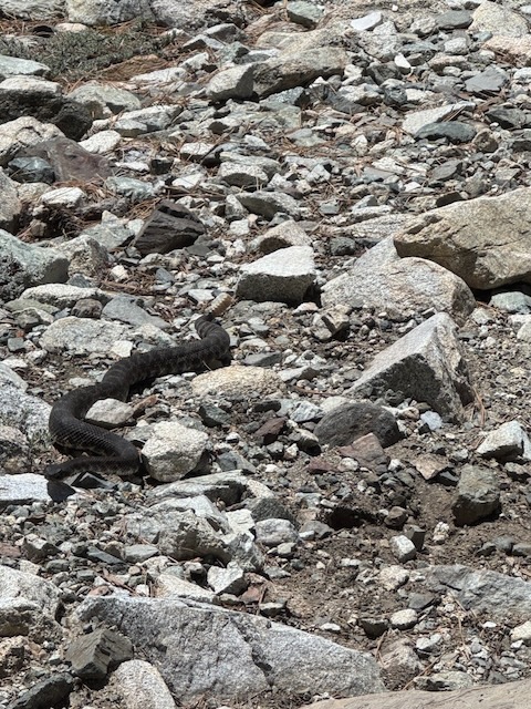
Not 10 minutes later, I walked right by, yet another big rattlesnake, about a foot off the trail, way too close for comfort. That is two in one day, and that is also too much. I was now walking on eggshells, trying to scan every shadow, corner or possible hiding spot for snakes.
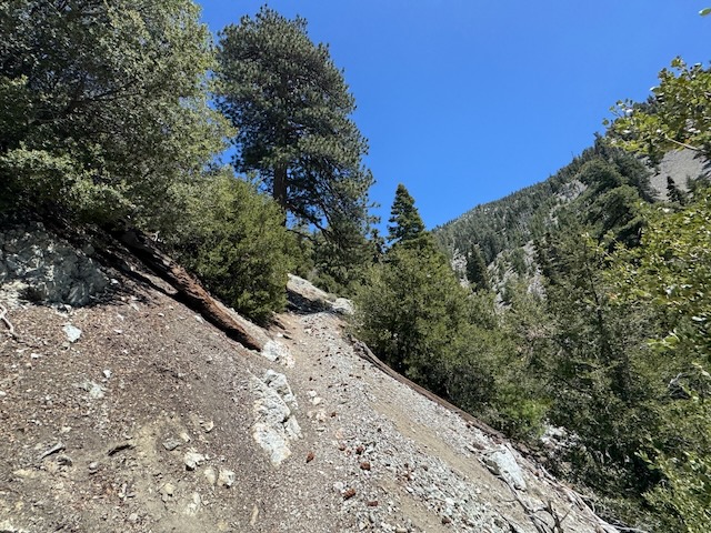
The switchbacks began as did the challenge of hiking a steep incline in baking hot sun.

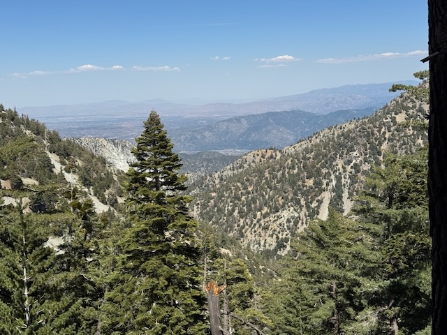
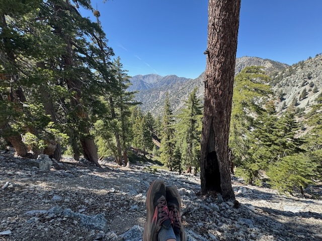
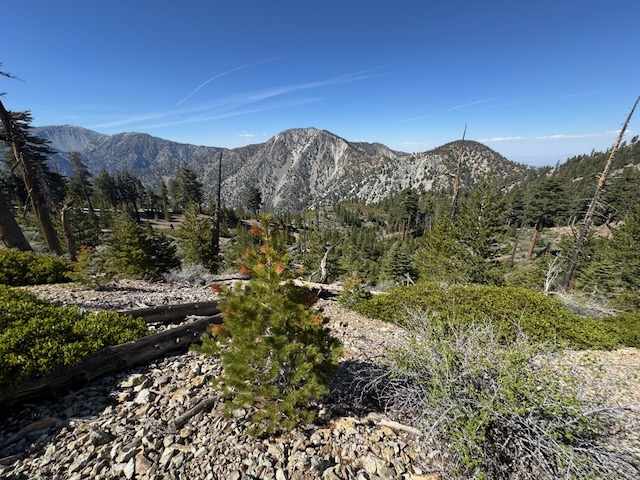
As I started to make my way above the treeline, I got my first view of Mount Baldy.
I made it to the saddle, and was more indecisive than I thought I would be. I had a Cucamonga Permit, and wanted to head there. But the problem was my water bladder had leaked out and soaked my back. I had 3/4 of a liter left of 2 liters plus one small bottle left. I knew Cucamonga would have to wait and Ontario was also out of the question, with my low water. I debated just going back right then and there, but thought maybe I could conserve.
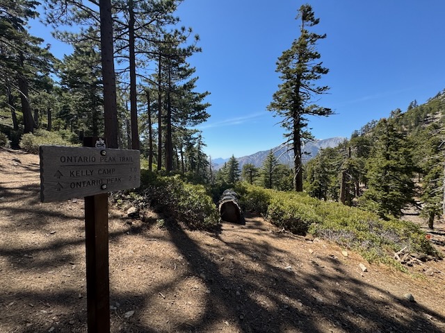
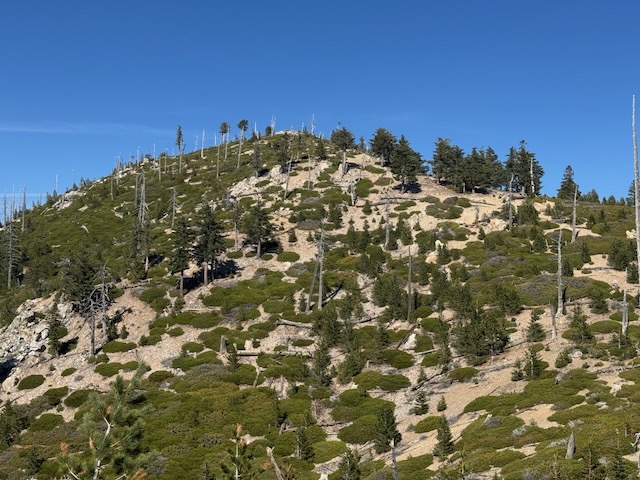
I opted for Bighorn Peak, even though, as memory serves, the trail to the peak was not well defined, and confusing. I decided to see if that was still the case.
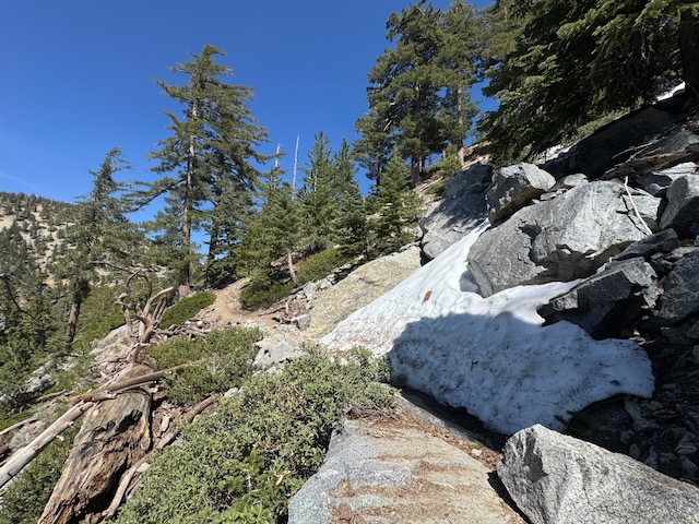
On the way to the turnoff for Bighorn, there were still large patches of winter snow along the trail, on the north side, where there is little sun.
I stopped to take a break next to this patch of coolness.
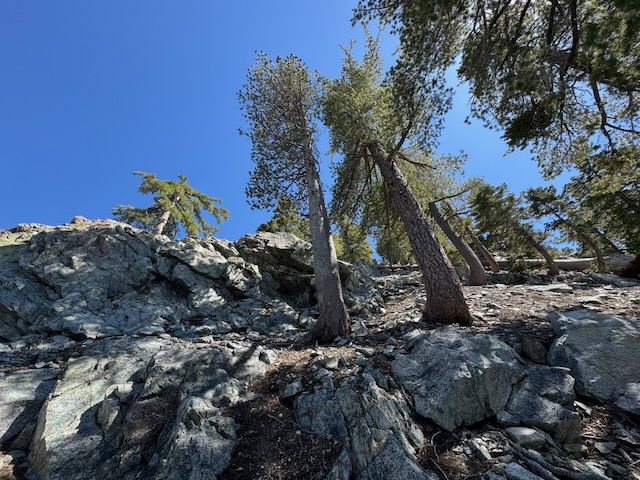
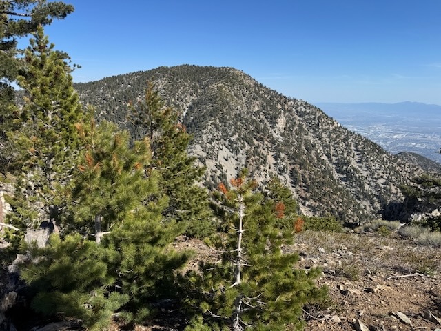
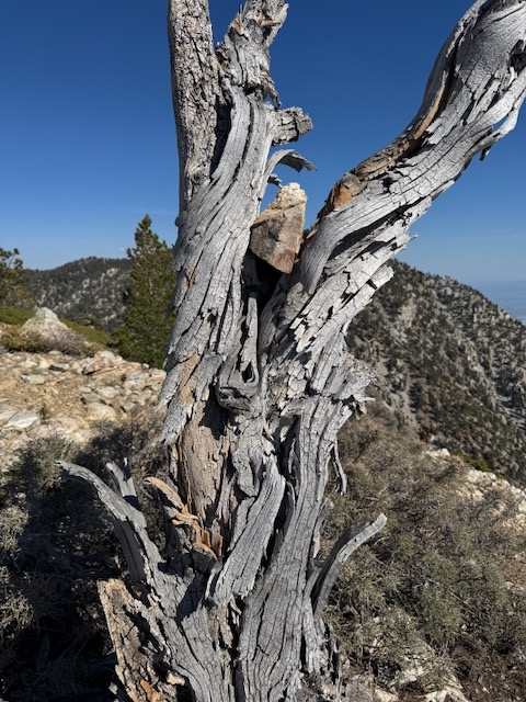
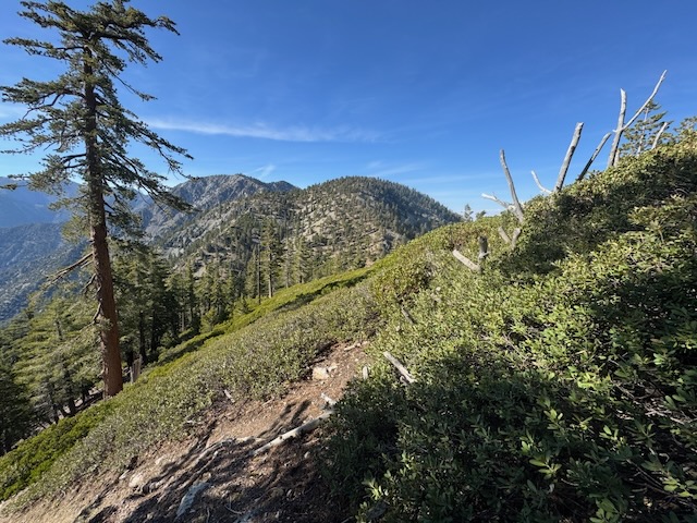
The rocky landscape of Bighorn Peak was above me.
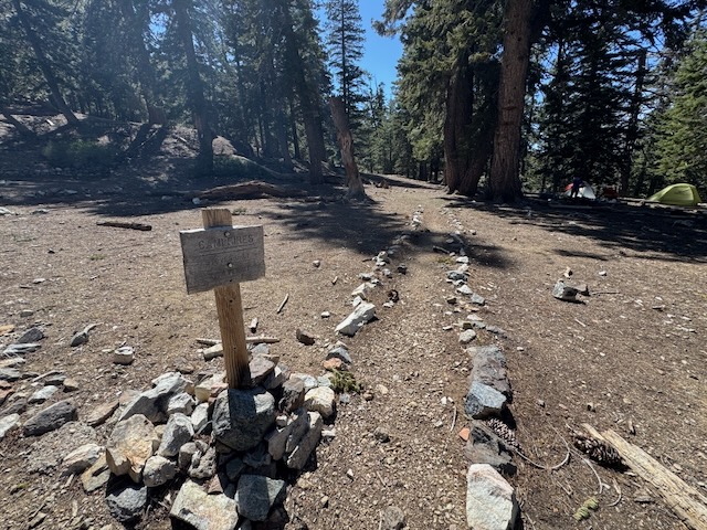
I made it to the first turnoff from Kelly campground.
That would be the last snow I would see, and the peaks appeared to be snow free.

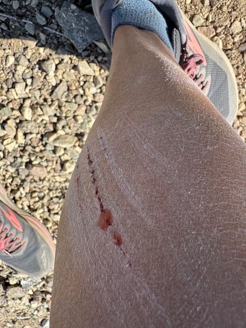
But on my way up the sun parched hillside in the mid-day sun, I miscalculated my way over a log, and sliced my calf. Could have been worse. Note to self on wearing shorts and hopping over logs, They have teeth!
Looking back, I knew I was starting to tire, since it was baking hot now, though not as hot as it could be, with the forecast only set to be a high of 70 degrees. Somehow at altitude it feels hotter and I am not sure why it did today.

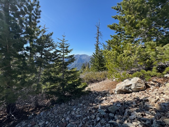
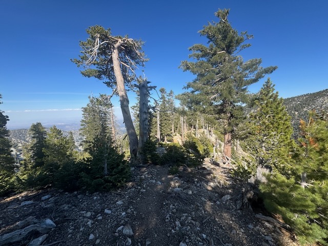
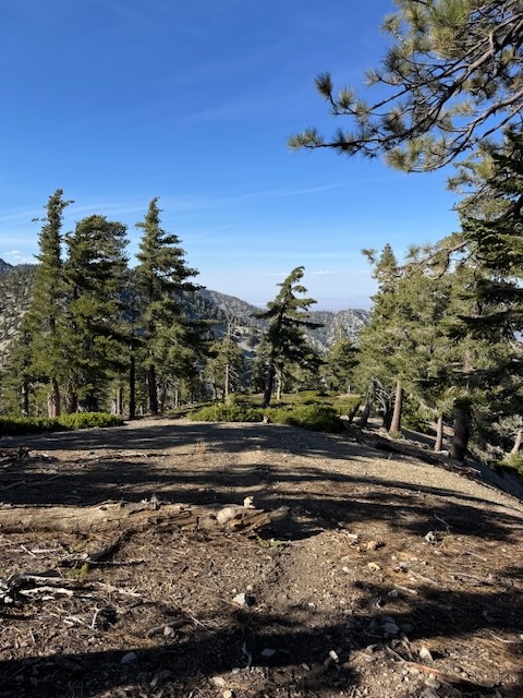
I hiked on through a wooded maze after making a left along the ridgeline.
I could see Cucamonga Peak, clearly off to my right. I had started to not feel well at all, and dizzy, in the hot sun there.
It was my first time being at this high an altitude in over a year, so I attributed it to that. I sat down, concerned with how I was feeling. I had maybe 50 more feet of climb left. So that was discouraging. Nobody wants to poop out with the summit just about in their sights.
I don’t ever want to place myself in some dangerous predicament, which could have been avoided out here. I had concerns on how I felt, and of running out of water. Still, I was only about 5.5 miles from the trailhead at this point. Going back the way I came would have been a longer route of about 7.5 miles, and my plan was the shorter steeper route back down Bighorn’s northeasterly face. I was low on water after all. So onward I went.
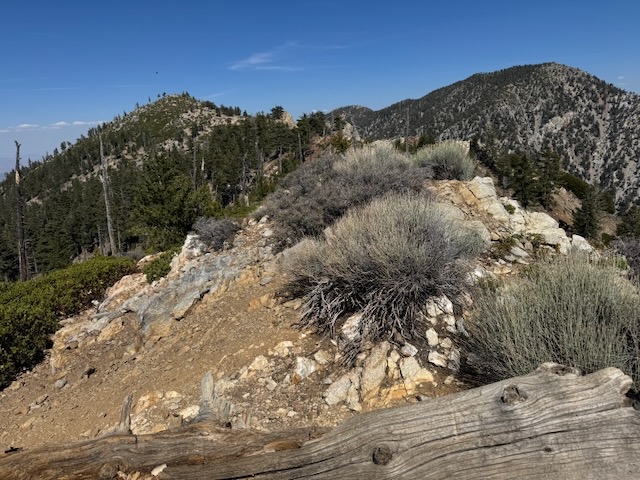
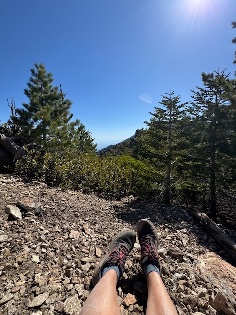
I could now see Bighorn Peak on ahead, and somehow I was doing better navigating to the peak, the second time here.
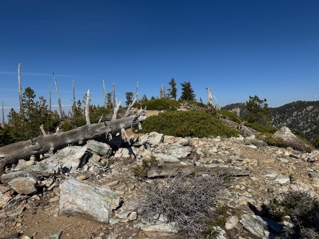
I made my way along the summit, recognizing the familiar terrain from before, and feeling relieved.
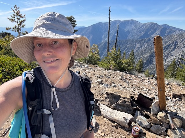
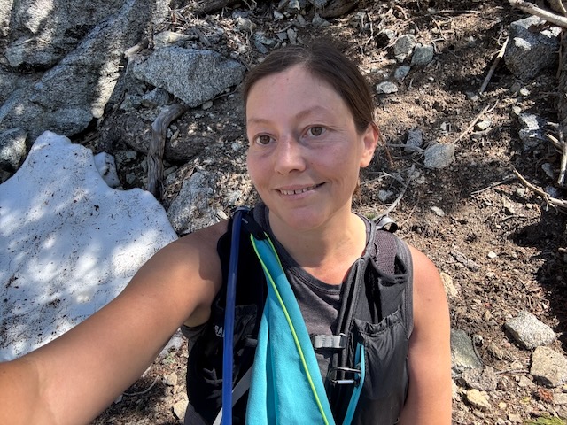
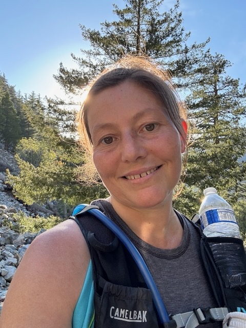
I had made it to Big Horn Peak, elevation 8441 foot! There was no signage at the peak this time, but there was a summit register.
Now all that was left to do is head down the ridge, back to the saddle, and down the canyon.
One thing I love about peakbagging is it is one of the things in life where your success depends mostly on you; your fitness, your preparedness, your ability to navigate and your perseverance. Nobody can take that from you, since you earned it. Setting personal goals is important, since in the world, much of what we do is often judged by others, and hinges on the opinions of others. You can’t always respectfully disagree at work or in life. You feel obligated to cave into what is good for a group, or what the majority wants, lest be viewed as difficult for not doing what everyone else wants or expects you to do. Not with hiking. It is all you all the time. There is true freedom is going hiking solo.
I knew I probably went too far too soon today, based on how I felt. Hiking solo, you are forced to be honest with yourself, and be real about what you can do today, so you are still here tomorrow. The mountain will be there.
I decided to take a chance, and try to hike down a trail marked on the map, which I had no knowledge of. It appeared to lead back to the saddle. The trail was extremely steep, and I was sliding much of the way.
In the distance I could see Timber Mountain and Telegraph Peak, as I made my way to the saddle.
I made quick work of the switchbacks today, since I wanted to get back to the car. I had half of a small bottle left for the last 2 miles.
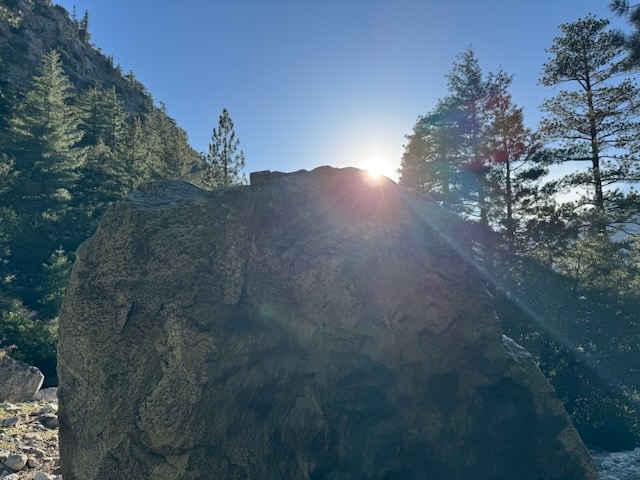
The Lord is my Rock

I was so grateful to make it back quickly to my car, back through the canyon, and how safe that day was. I had a bit of a scare on top of that mountain, feeling dizzy all of a sudden. That camelback bladder went straight in the trash, after serving me well for over 4 years. It is a good thing I had a backup one at home. The lesson today was don’t try to throw yourself back into hiking big mountains too quickly if you had to take time off, and always bring too much water, along with a non-leaking water bladder.
Until next time Cucamonga Wilderness!
I hope you enjoyed reading this, and it is helpful in knowing what to expect, should you decide to visit here.
Leave No Trace
Just be sure to come prepared and follow Leave No Trace principles to keep the wilderness pristine for future hikers.
About me
I’m Serafina! I’m a writer and California girl who loves to go exploring. Hope you will get outside today, breathe some fresh air, and be happy!
Like and Subscribe to my Channel!
Follow my Journey @serafinabenjamin
Follow along on My Youtube Channel where I post videos!
Disclaimer:
The work on this blog is my opinion and my opinion alone and I am not responsible for the outcome if someone were to apply these thoughts to their own life. All text and photography copyright 2025 by Serafina, all rights reserved. Information and opinions provided are kept current to the best of the author’s ability. All readers’ usage of the ideas and opinions presented in the blog, are at their own risk. Be aware of the possible dangers of hiking, surfing, walking, cooking, and other activities, which may take place indoors or outdoors. By reading this, you agree not to hold the author or publisher of the content on this web site responsible for any injuries or inconveniences that may result from reading the blog, or partaking in any activity mentioned in the blog. Read the blog, and use its ideas, if you so desire, at your own risk.
