
Today I would be hiking another short section of the PCT, bound for Pacifico Mountain, elevation 7104 ft. It was my first time hiking from the trailhead at Mill Creek Summit, to the peak. I knew there were several other peaks, a short distance from Pacifico, such as Granite Mountain, and Roundtop Mountain. Hiking to Pacifico Mountain is no easy feat, since it has over 2300 feet of gain. There is a PCT hiker friendly campground right at the peak, and I had a feeling I would run into thru hikers here, during this time of year, as they were passing through.
It was late April, and had been several months since I had hiked to a peak of any kind. The snow had melted off the peaks above 7000 feet, and I knew the snow free conditions would make for an easy drive up into the mountains.
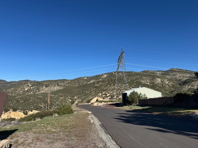
As I pulled up to the Mill Creek Summit Ranger station, surrounded by high tension power lines, I was hopeful that the focus of this hike would be on nature, not the power grid. I had. heard of Mill Creek Summit before, as a spot where PCT hikers would hitch rides into town to resupply, as it sits just along SR-2, a short distance from Altadena, a town stricken by horrific fires, just months prior.
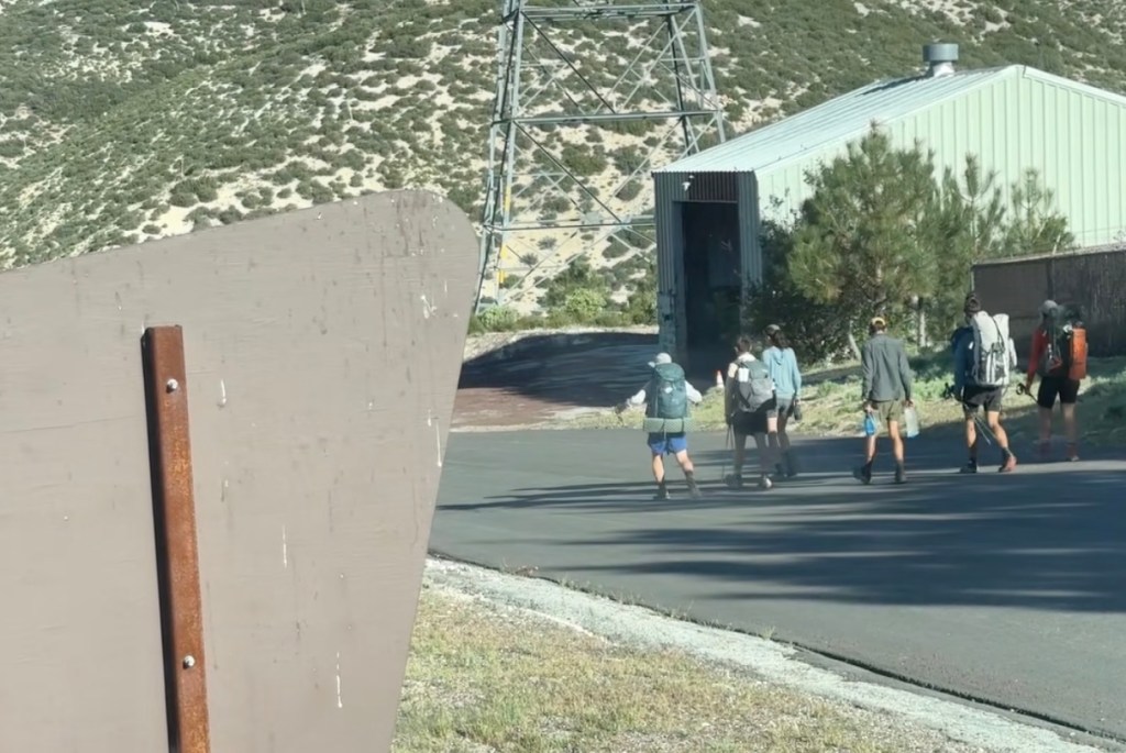
Just as I suspected, there were PCT hikers passing by just as I arrived at trailhead. After parking near the fire station, a total of six PCT thru hikers emerged, heading northbound. It is an amazing feat to make it this far, as early as April. My guess was they had started their hikes at Campo, by the Mexican border in March, and made good time to make it to this point by mid-April. Campo is over 350 miles away from this point in PCT section C. By the time hikers reach Agua Dulce at the northern end of Section C, just north of this point, they will have hiked 450 miles. I dream of someday completing more sections of this amazing scenic trail.
You can read about my past section hike along PCT section A, from Campo to Warner Springs here.
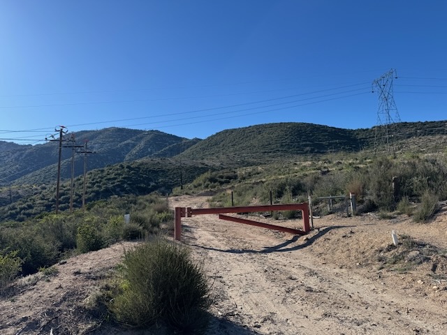
I set off for Pacifico around 8:30 am, making it a later start that I would typically prefer, so I knew it might be a bit warm. Being mid-April, it was still relatively cool in the mountains though. I passed by a gate, at first believing it was the start, near the restrooms. I soon noticed this was the way I would finish, while hiking the loop, but the actual trailhead was a bit hidden. I found the trailhead, and set off down a single-track into the wilderness, leaving all the unsightly power lines behind.

It was not long, before I passed through a huge section of burned pine trees, all standing deadfall, resembling burnt matchsticks. As the breeze began to blow, I was watched and listened for any indication of falling branches or tree trunks, hopeful to steer clear of this disaster waiting to happen.
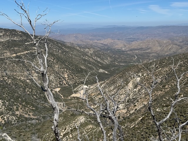
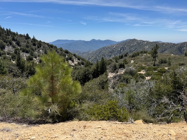
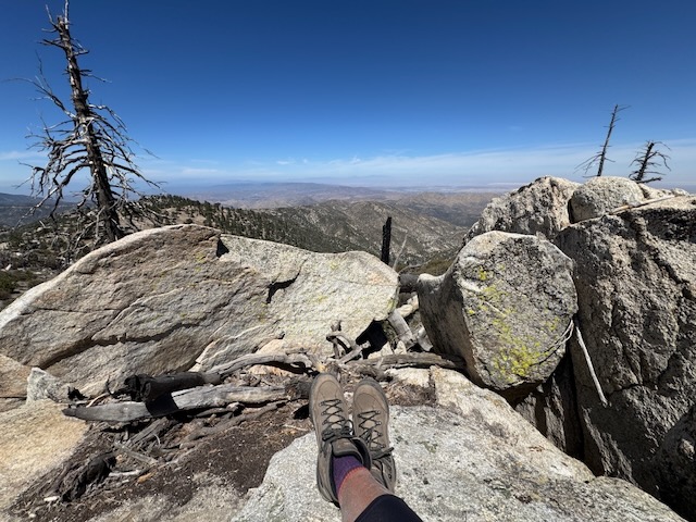
As I climbed higher along the cliff sides, I took in the scenic views of the distant desert to the north, burned manzanitas, bleached grey, a reminder of the power of fire, ever present in the California mountains.

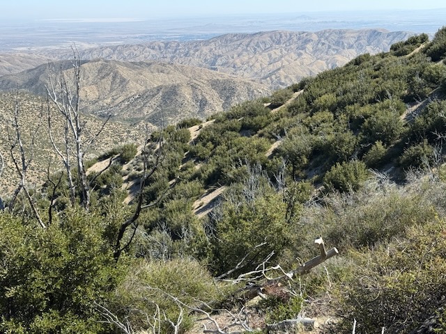
The terrain started to become more rocky, and jagged, the trail carved through the granite rock. I was finally feeling like I was back in an alpine wilderness.
In the distance were what looked like firebreaks, carved in an adjoining mountainside. My map read Peak 5881, and I wondered if it was worth checking out some other time.
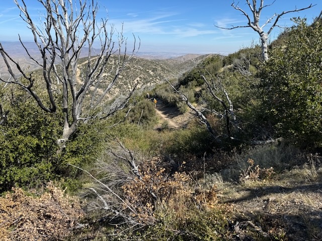
The higher I climbed the more isolated it began to feel. That feeling would not last long, as waves of PCT hikers would pass me heading north, down the mountainside. By 10 am I made it to the first saddle of sorts, and the trail began to level off briefly.

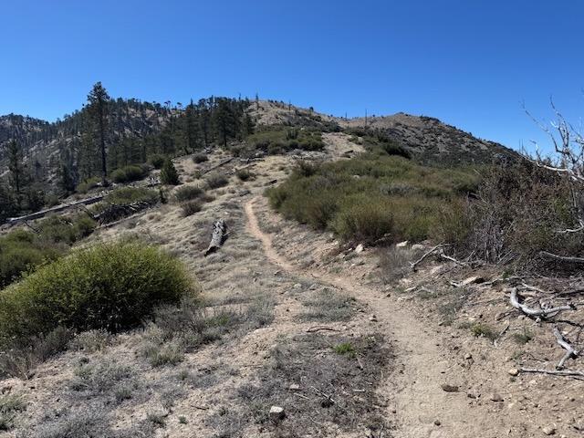
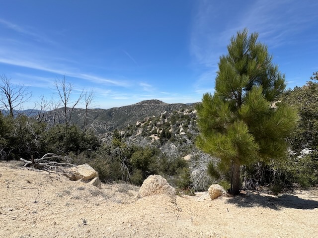
I could finally see my destination, the summit of Pacifico Mountain, with its forested peak.
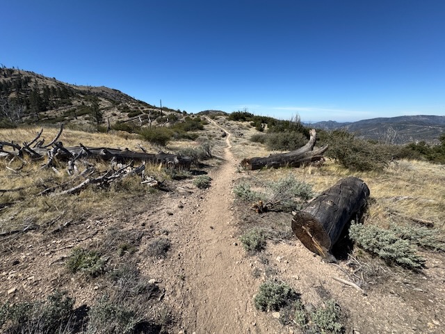
I found a place for a rest break, with multiple downed logs strewn about, but I pressed on.
There seemed to be a series of short climbs ahead of me. I had now climbed about 1500 feet, and had about 800 more feet of climbing to go.
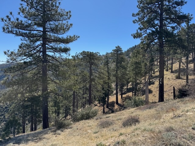
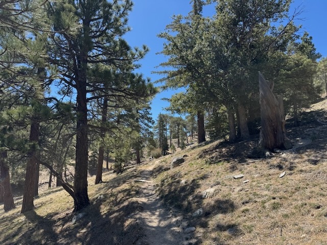
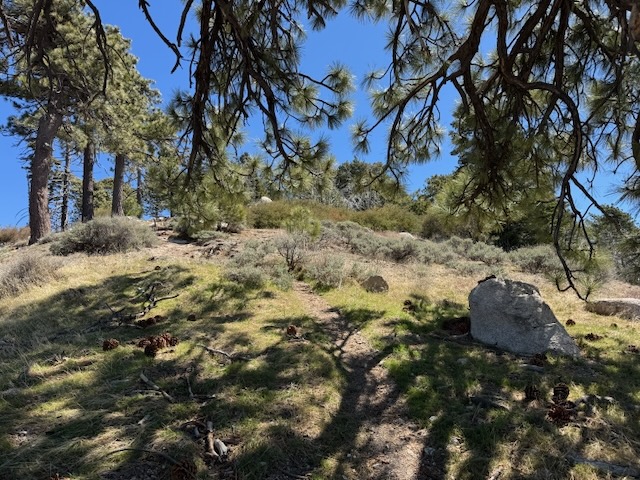
By 10:30, I was surrounded by forest, yet this time, the trees were more green, and alive, surrounded by dry grasses. The hills had yet to green up so early in spring, except for the evergreens.
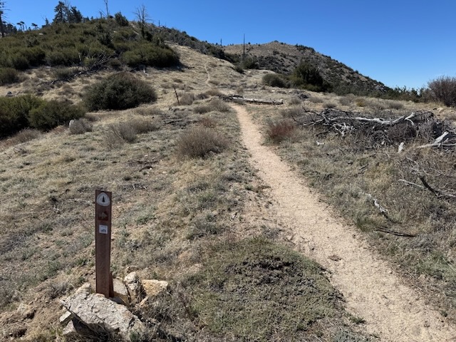
With each successive PCT marker my motivation increased. I was hiking the PCT! It was exciting to be a part of this, and hike even just a small section of it.
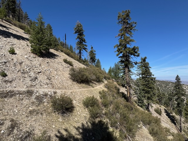
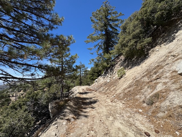
The skinny trail along the hillside had some steepness to it, and a few spots you might not want to tumble down, so I took my time.
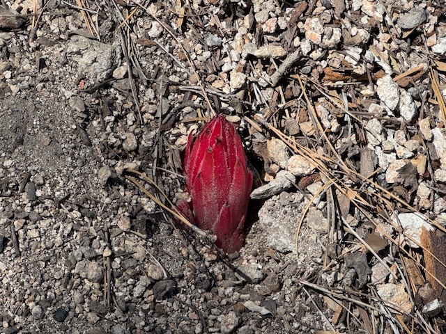
I noticed the red hue of the alpine snow plant poking out.

I edged ever closer to the forested summit, in search of the turn-off.
By 11 am, the sun was getting warm, so I was enjoying the nice bit of shade along this section.
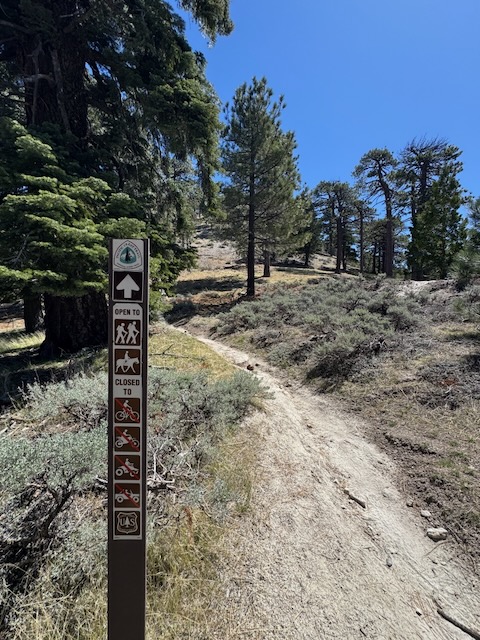
I was still on the PCT, but soon would turn off of it, bound for the summit of Pacifico Mountain.
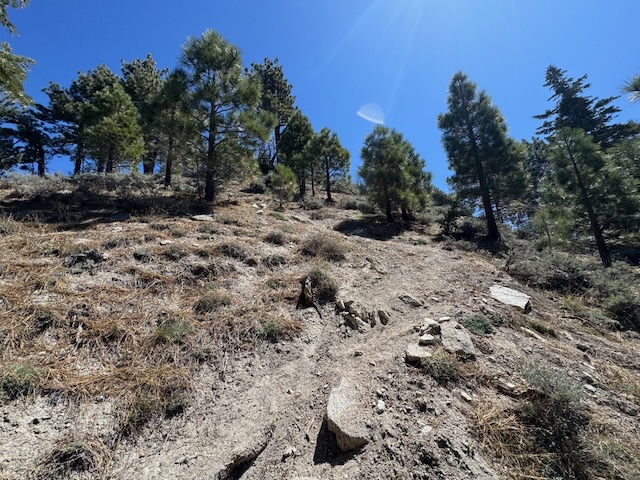
By 11:30, I had made a right off the PCT, and was heading up a steep trail, which would be the final .25 push to the summit. This would however be the most challenging part of the entire hike.
After a slow climb, I reached a shady tree on the saddle, and caught my breath a moment.

I could see for miles and miles from this vantage point. Nothing was disappointing about all this.
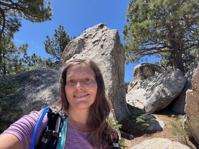
Just when I thought I had made it, I found myself amongst large boulders, just shy of the summit. I knew I was close though, and within a few minutes of my destination, further along the trail.
I made it to Pacifico Mountain, elevation 7104 ft! It was almost 12 noon, and it had taken me 3.5 hours to hike 7 miles to the summit.
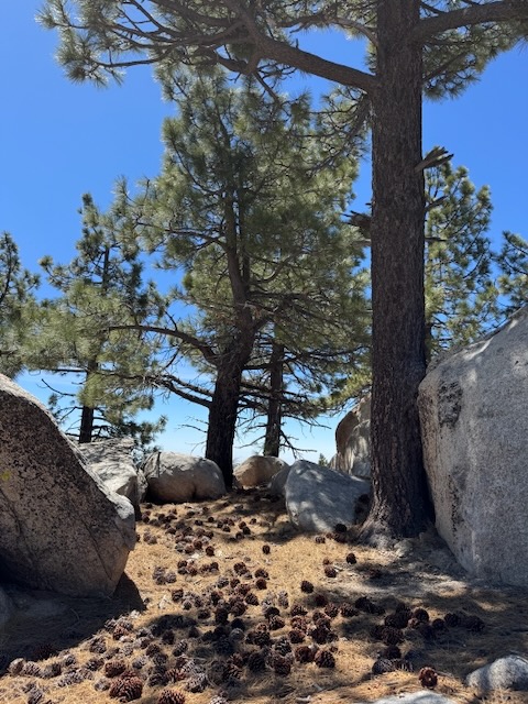
The peak was covered in large boulders, pine trees, and lots of large pine cones. I took a 20 minute break here, and had a snack. It was the type of summit you could spend hours at, relaxing, and enjoying the view. There was plenty of shade, places to sit, and views, along with picnic tables.
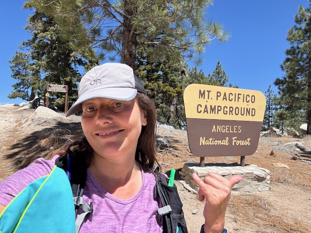
I gave Pacifico Mountain my highest rating, and would love to stay at this campground sometime too.
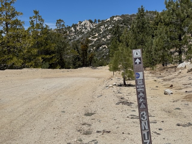
I decided I might as well hike the loop, and see what the fire road had to offer. I knew it was a road, but I was still excited to see the views along this section.
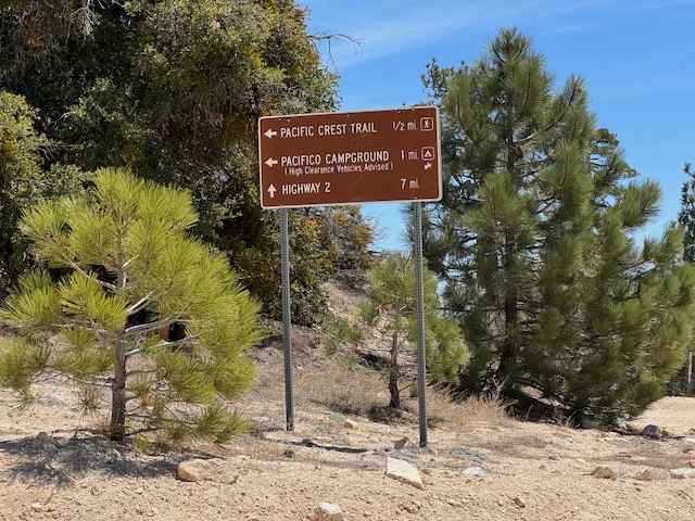
I followed the signs pointing me back towards SR-2. I passed a few trail runners at this point, since this seems to be a popular trail for running, since it is well maintained, like much of the southern PCT.
I stayed on course for the trailhead, following the PCT signs.

This section has some interesting scenery, and I noticed plenty of spots worthy of a detour.

The uppermost ridge of Pacifico has castle-like spires. It would be interesting to hike all along the ridge-line, versus the PCT.
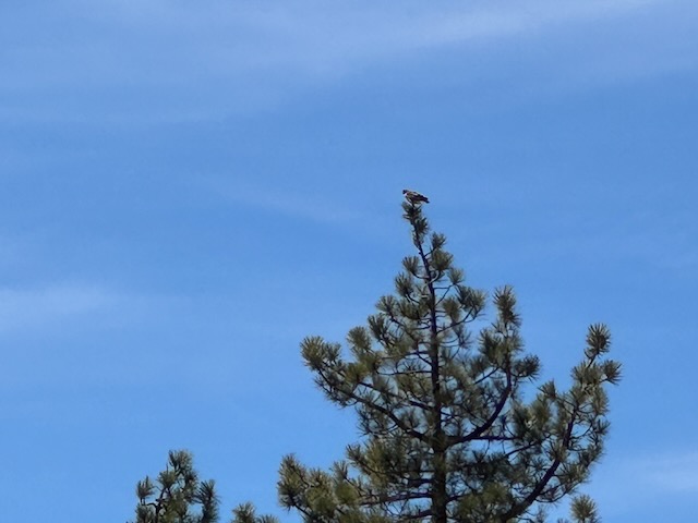
I noticed what was either a hawk or a golden eagle. It was hard to tell from the distance though.
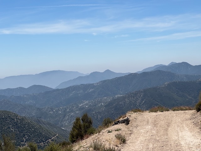
As I would my way back along the fire road all I thought about was the next peak I could climb, off in the distance. When you’re crazy about hiking, that is just what you end up doing, mapping your future ascents, making new plans.
I really enjoyed this one. My hike was about 14 miles, with 2400 feet of gain. I finished my hike just before 2pm, hiking in a loop. Until next time Pacifico!
Pacifico Mountain via Mill Creek Summit
I hope you enjoyed reading this, and it is helpful in knowing what to expect, should you decide to visit here.
Leave No Trace
Just be sure to come prepared and follow Leave No Trace principles to keep the wilderness pristine for future hikers.
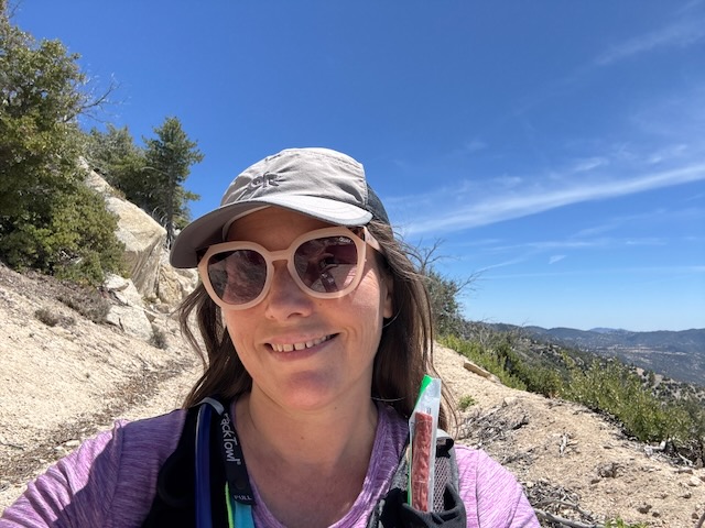
About me
I’m Serafina! I’m a writer and California girl who loves to go exploring. Hope you will get outside today, breathe some fresh air, and be happy!
Like and Subscribe to my Channel!
Follow my Journey @serafinabenjamin
Follow along on My Youtube Channel where I post videos!
Disclaimer:
The work on this blog is my opinion and my opinion alone and I am not responsible for the outcome if someone were to apply these thoughts to their own life. All text and photography copyright 2025 by Serafina, all rights reserved. Information and opinions provided are kept current to the best of the author’s ability. All readers’ usage of the ideas and opinions presented in the blog, are at their own risk. Be aware of the possible dangers of hiking, surfing, walking, cooking, and other activities, which may take place indoors or outdoors. By reading this, you agree not to hold the author or publisher of the content on this web site responsible for any injuries or inconveniences that may result from reading the blog, or partaking in any activity mentioned in the blog. Read the blog, and use its ideas, if you so desire, at your own risk.
