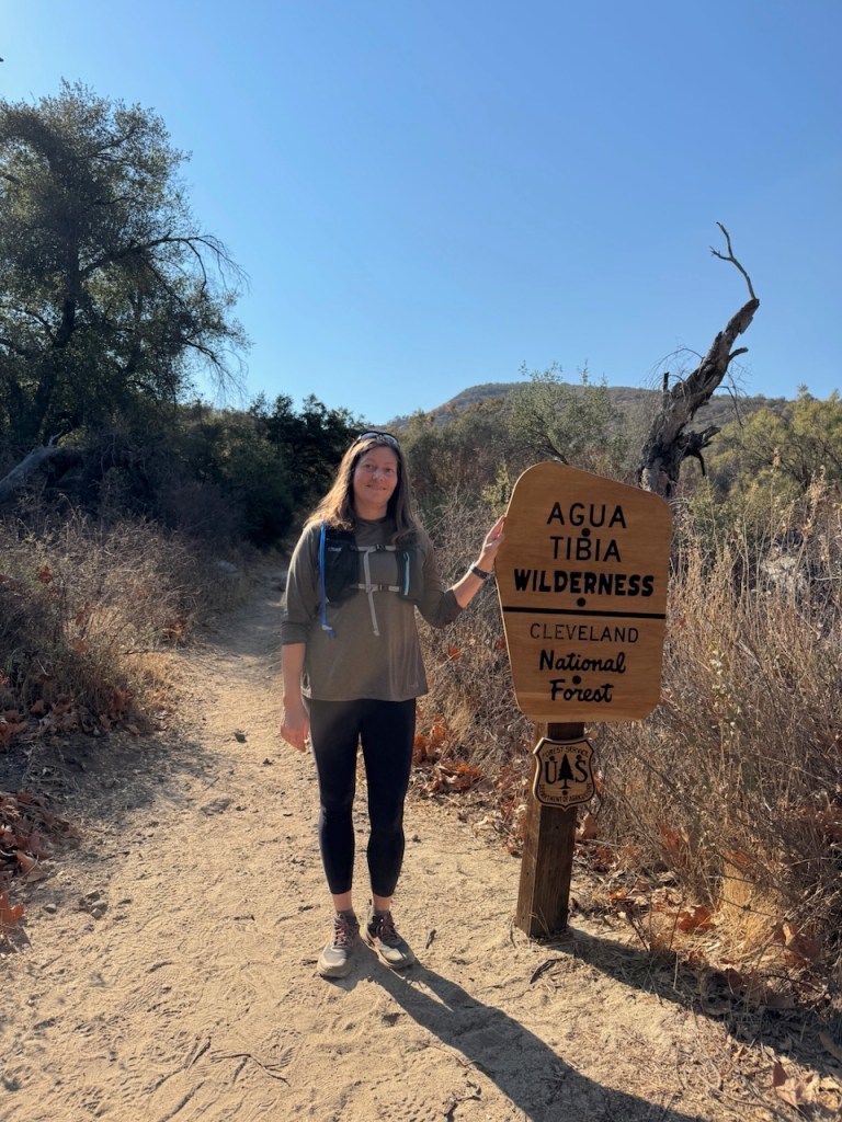
I had been wanting to visit the Agua Tibia Wilderness along Hwy 79 in Temecula for some time. This rugged, beautiful, and isolated area, has several peaks to climb along with plenty of jaw dropping scenery. This wilderness area is located within rural San Diego County, about an hour from Orange County. My plan was to hike Wild Horse Trail, from Dripping Springs Campground.
Dripping Springs Campground
My hike began at 6am at Dripping Springs Campground. I parked in the first parking lot off to the right, as I drove in from Hwy-79. I displayed my Adventure Pass on the dash, since this is a Forest Service Campground, and trailhead, to avoid getting ticketed.
Night Hiking
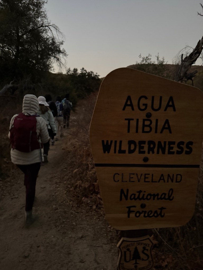
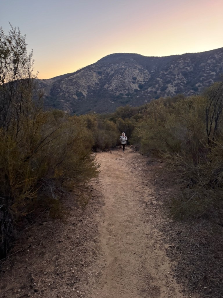
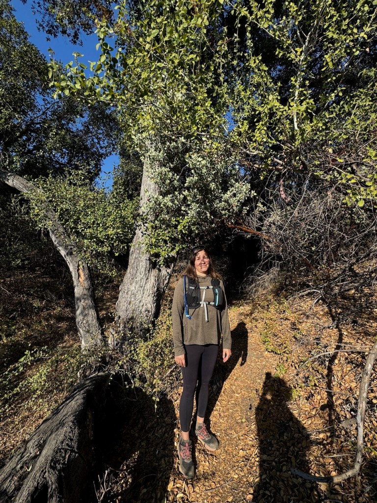
I started my hike in the dark, before sunrise. Today I would be hiking with a group of adventurous women who love challenging climbs. The hike would be a bit of a challenge, distance-wise, but certainly not my longest hike by any means. As we made our way through the campground, with headlamps aglow we found our way to the sign at the trailhead. It was barely visible in the dark. I still happened to notice there was a trail register, and signed the book.
First Light
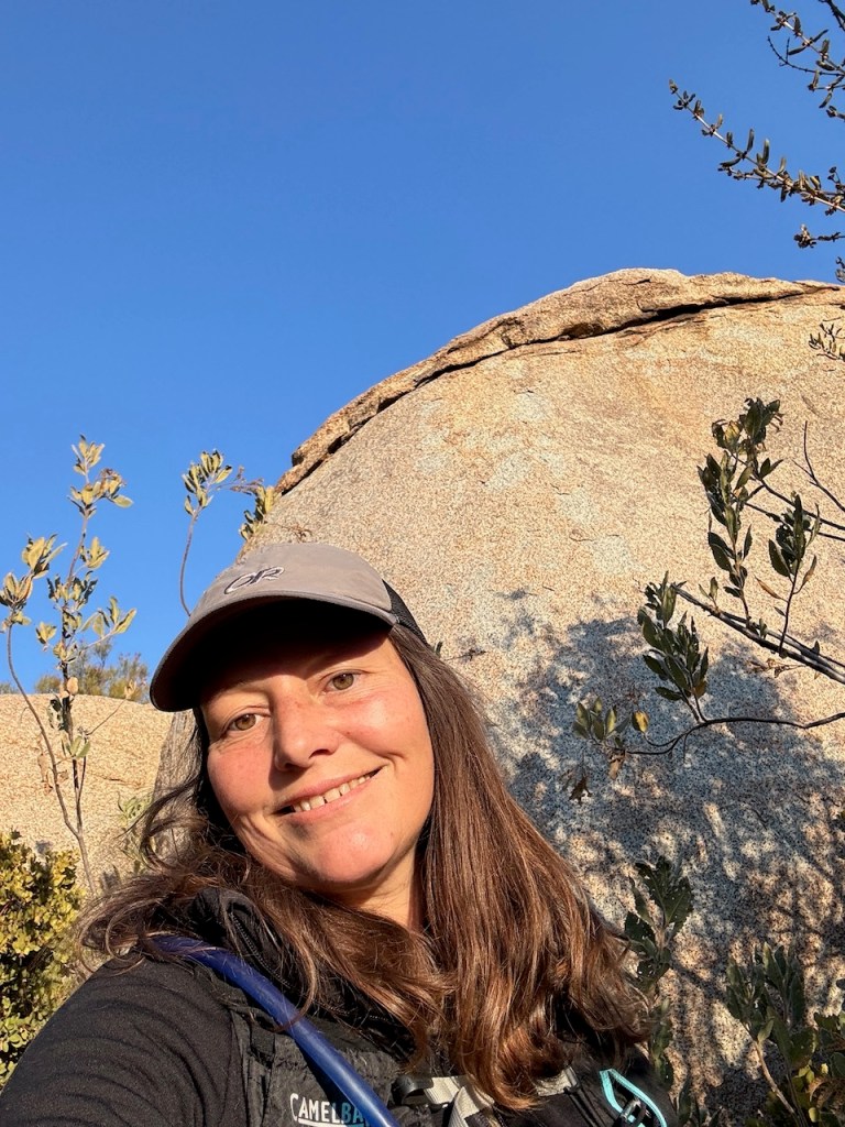
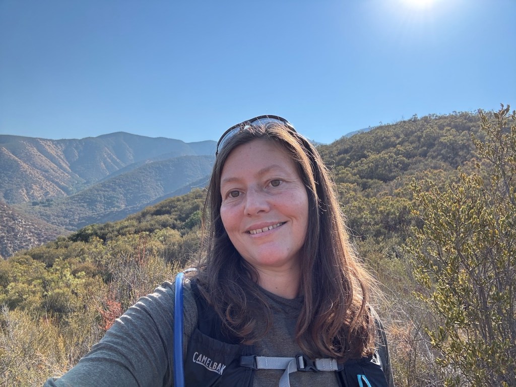
It was first light, and just before sunrise, as I approached the trailhead. Today I was hiking with a few Adventure Sisters, a group of adventurous women I have come to know, who enjoy challenging hikes, just like me.
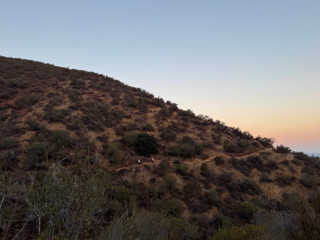
Off we went down the trail, in the morning light. It was a chilly 36 degrees out. In my haste to get moving, I had worn ankle socks, and my ankles would be exposed. But the temperatures would rise within the hour, so I would be just fine.
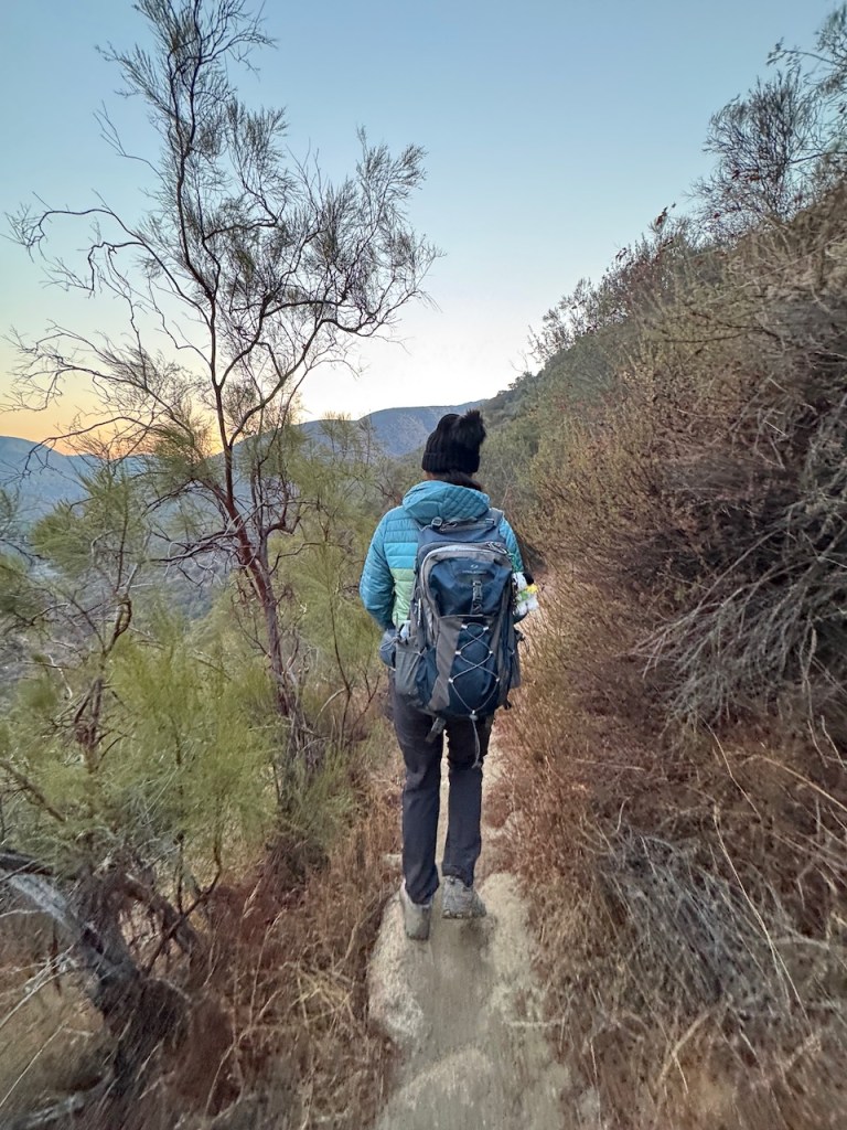
We all had on winter coats, and as we headed further in and down the dusty narrow trail, we all progressively began to shed some layers. That is the thing about hiking during winter, in a place like Temecula. It is freezing at night, and warm by day.
Hiking Inland San Diego in Winter
Inland San Diego County is typically baking hot, ranging from the 80’s to over 100 degrees much of the year. It mimics desert temps, varying greatly from morning to the peak of the day by about 40 degrees, so it’s important to take this into account if hiking here. Unlike the coast, where the temps tend to be moderate, the temperatures can fluctuate wildly around a place like Temecula.
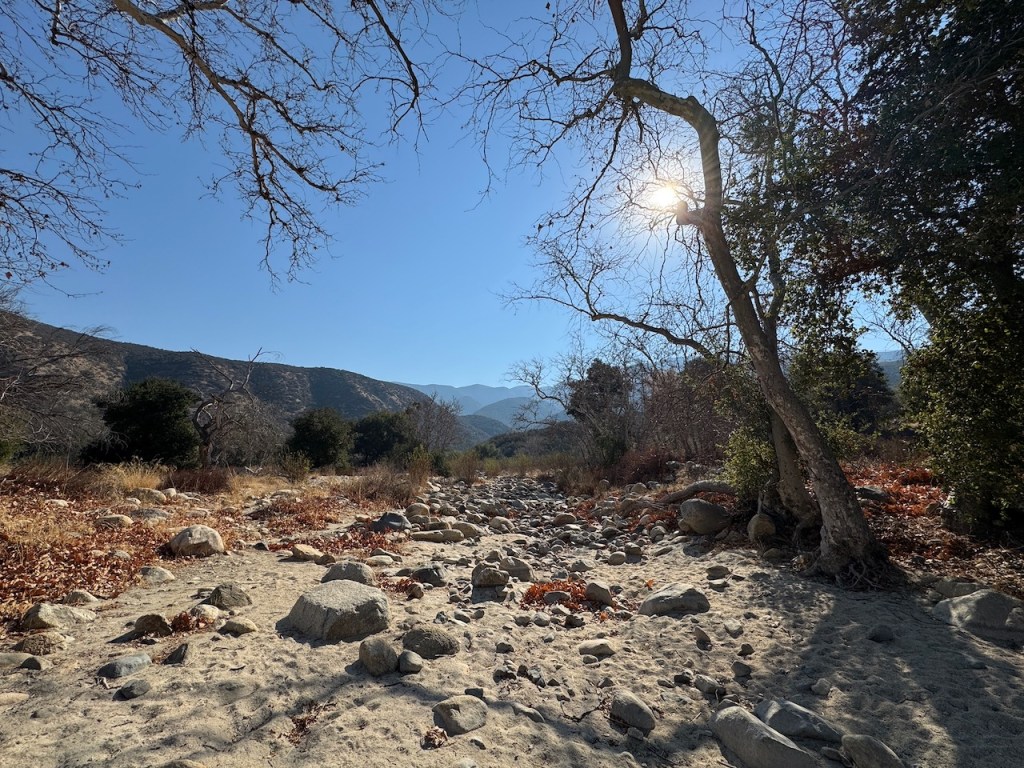
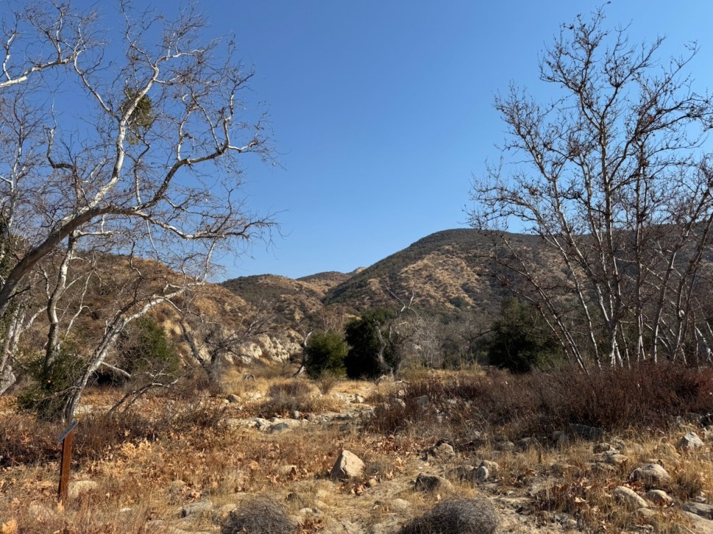
We crossed over a wide, sandy dry creek bed of cobblestones, similar to one found by Vivian Creek Trail, known as Mill Creek. These are places you do not want to be during a flash flood, but at this time of year, California was on fire, and dry as a bone.

The fires had painted the skies in the distance in muted shades of pastel. We were hopeful the fires would soon end. One of my hiking partners lived in Sierra Madre and had come south, to escape the smoke, and most of her local trails were no more.

As we hiked on, and began to climb, our group of six began to break off into smaller groups, based on who was slower and faster. Our leader became the sweep on this one.
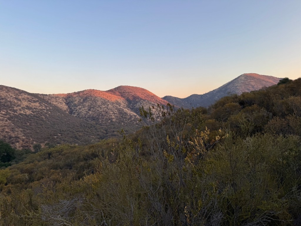
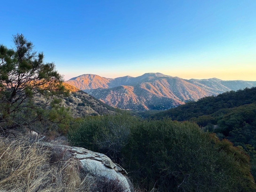
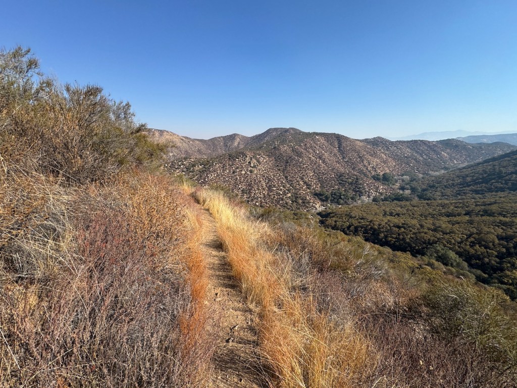
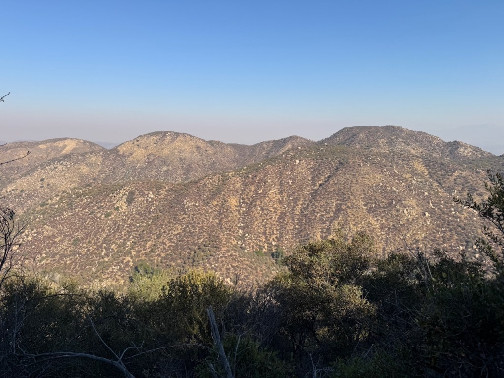
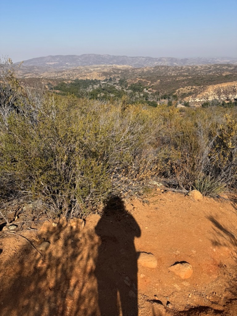
As the sun rose I began to get a better view of this place. The peaks were all rose colored at this hour.
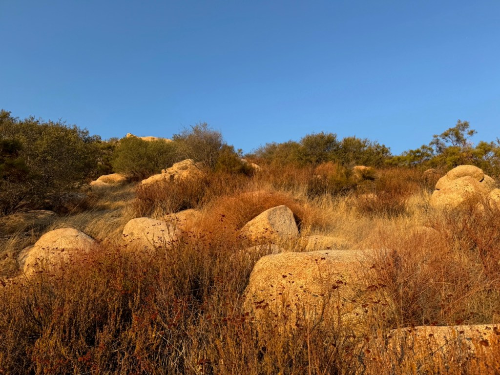
The rocky peaks all around, were flecked with many hundred large boulders.

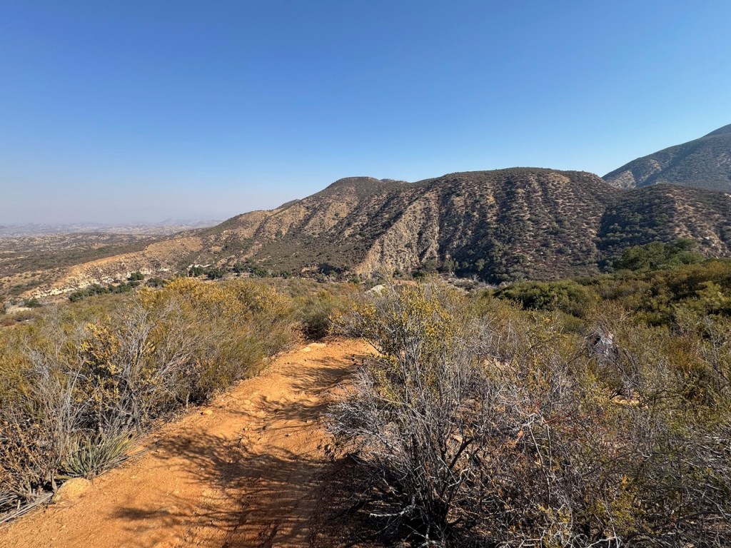
The trail was mostly shaded for the first two hours on the way up, so if your looking to avoid the sun, morning is the best time to visit here.
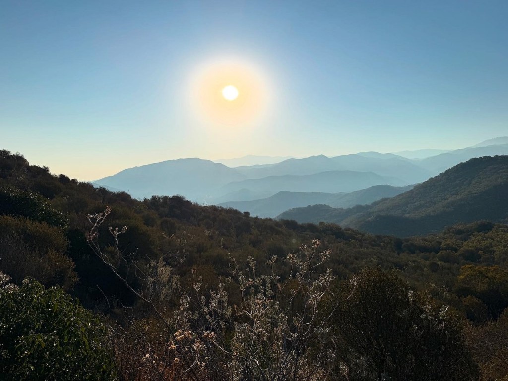
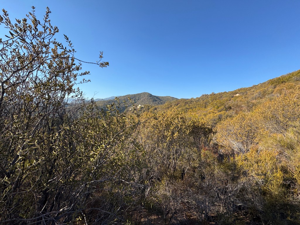
Eventually I shed my layers, and began to enjoy some beautiful sunshine. Despite the fires north of here in LA County, skies were fairly clear in San Diego in this wilderness area.
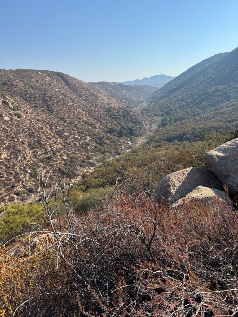
There was a dry waterfall etching its way through the canyon down below. I once hiked up one of these washes, and canyoneered down a waterfall, in search of a lost drone. Those were good times.
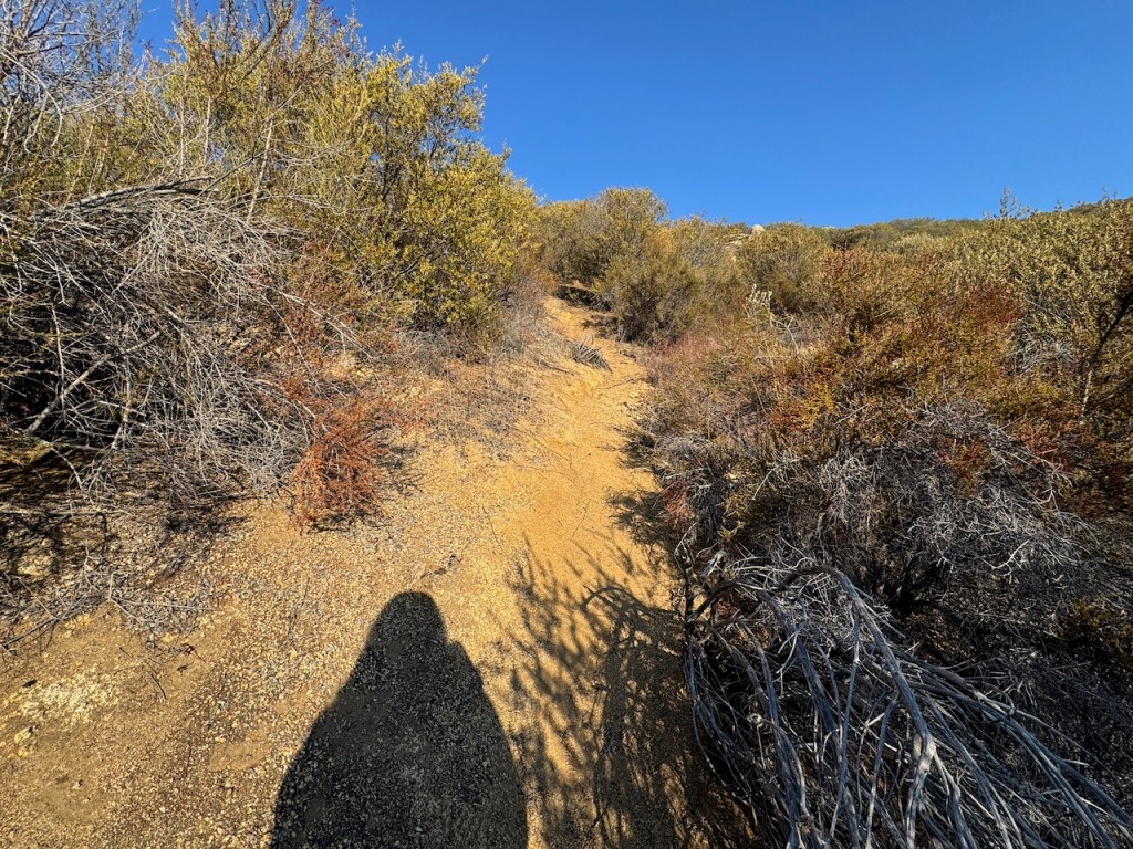
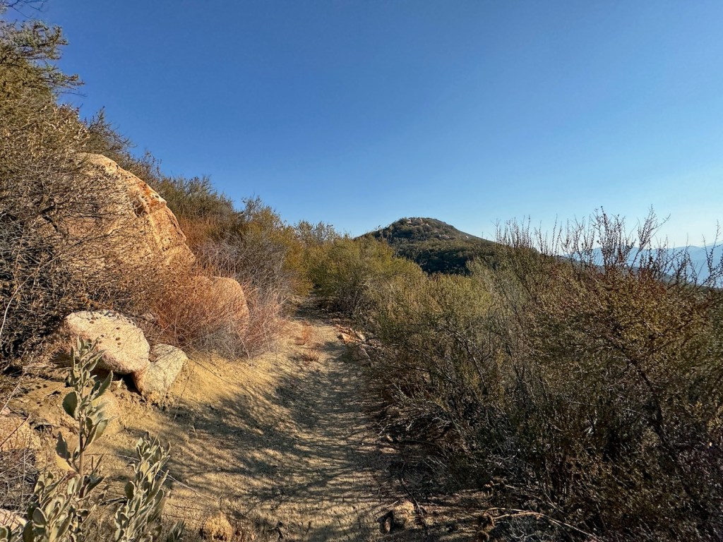
The trail was fairly clear of brush, yet what remained was a bit sharp, and we had to be mindful of who was hiking behind, since the branches could smack a fellow hiker. My ankles started to get battle scars from the brush that remained, which had teeth.

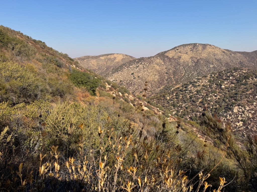
We were not sure if we were going to make an attempt on Wildhorse Peak. We heard it was a scramble, and had little beta on the condition of the side trail leading up to it. We decided to just give it a try and see.
After about 3 hours, we had reached the turnoff for Wildhorse Peak. It was a skinny, very visable yet steep trail of loose rock. I scouted it out for the groups, and made it up about 20 feet or so, before realizing it was fairly vertical in pitch after that point. One woman in our group had a bad knee. I knew this was not something everyone could do. I also left my trekking poles in the car. Wild Horse Peak would have it wait, it was decided.
We hiked to the end of the trail, as it is marked on Alltrails which was about 6 miles, and found a large oak tree and log. It was a fairly uneventful ending, but the entire trail was enjoyable. We could have continued on, but with not hiking for 3 weeks, and having the flu, I was ready to take it easy today. A 12 mile hike with 2000 feet of gain was challenge enough for me, as it was for my hiking buddies. So we headed on back.
As we descended it became much warmer.
The occasional shady sections felt air conditioned, since the rocks hold the temperatures for a long time. This was welcome as we approached noontime and the peak of the day.
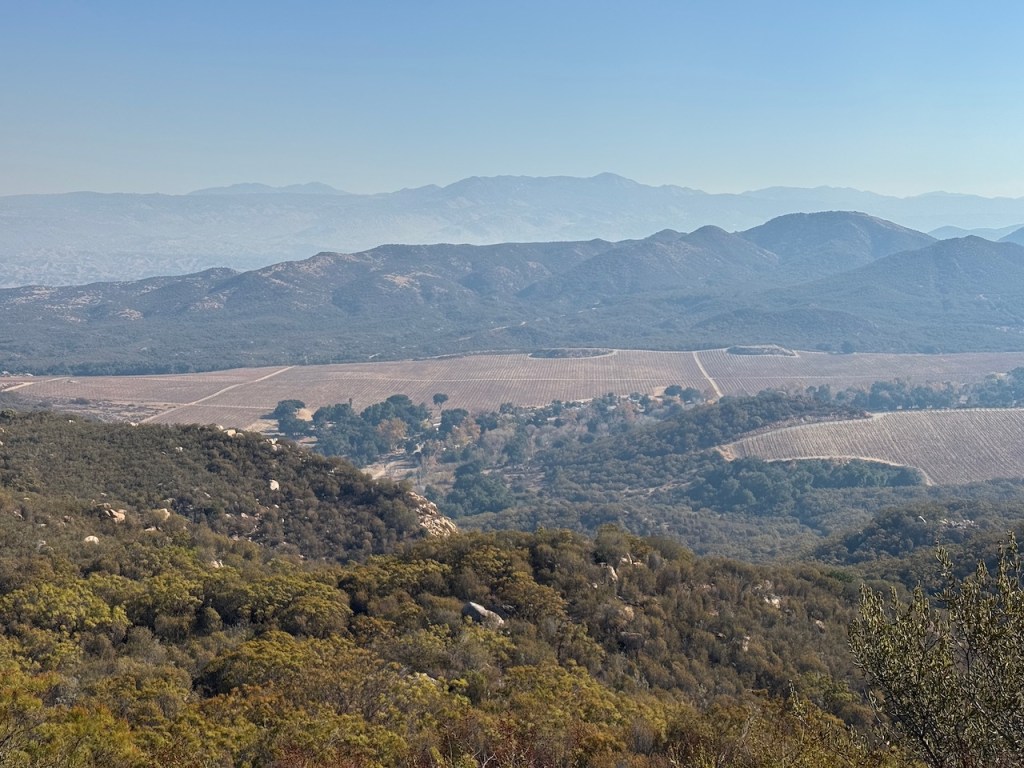
I could see distant farms and wineries in the valley below.
There were plenty of massive boulders to stop and take a snack break on, and eventually we did.
The Agua Tibia Loop visits Eagle Crag and Agua Tibia Mountains. It’s 25 miles long, and I am not sure when I will be ready for such an intense hike. But perhaps someday I will.

We had hiked 12 miles in the wilderness out and back. I had experienced my first taste of the Agua Tibia Wilderness, a place I vowed to return to again soon.
I felt blessed to get in another wilderness hike, and find a place free of smoke of the LA fires. The wilderness and trails like this are precious gift.
We reached the trailhead and campground, crossing the dry creek around noon.
Until next time Agua Tibia Wilderness and Wild Horse Trail!
Leave No Trace
Just be sure to come prepared and follow Leave No Trace principles to keep the wilderness pristine for future hikers.
Like and Subscribe to my Channel!
I hope you enjoyed reading this, and it is helpful in knowing what to expect, should you decide to visit here.
About me
I’m Serafina! I’m a writer and California girl who loves to go exploring. Hope you will get outside today, breathe some fresh air, and be happy!
Follow my Journey…
Be sure to Like and Subscribe to My Youtube Channel where I post videos!
Disclaimer: The work on this blog is my opinion and my opinion alone and I am not responsible for the outcome if someone were to apply these thoughts to their own life. All text and photography copyright 2023 by Serafina, all rights reserved. Information and opinions provided are kept current to the best of the author’s ability. All readers’ usage of the ideas and opinions presented in the blog, are at their own risk. Be aware of the possible dangers of hiking, surfing, walking, cooking, and other activities, which may take place indoors or outdoors. By reading this, you agree not to hold the author or publisher of the content on this web site responsible for any injuries or inconveniences that may result from reading the blog, or partaking in any activity mentioned in the blog. Read the blog, and use its ideas, if you so desire, at your own risk.
