
About this Hike:
Distance: 10.5 miles
Time: 5-6 hours
Gain: 2785 feet
Difficulty: Moderate to Strenuous
Location: Crystal Lake Recreation Area
Parking: At Trailhead
Cost: Display a US Forest Service Pass
Maps: alltrails, GPX, Topo
Cell Service: Zero to 1 bars
More Information: USFS
Weather: Noaa – Socalsnow
Tips: A Garmin is recommended, since it’s the wilderness, and to bring your 10 Essentials.
In This Guide:
> Hiking in November
>Crystal Lake Recreation Ara
>Mount Islip
>What to Expect
>Points of Interest
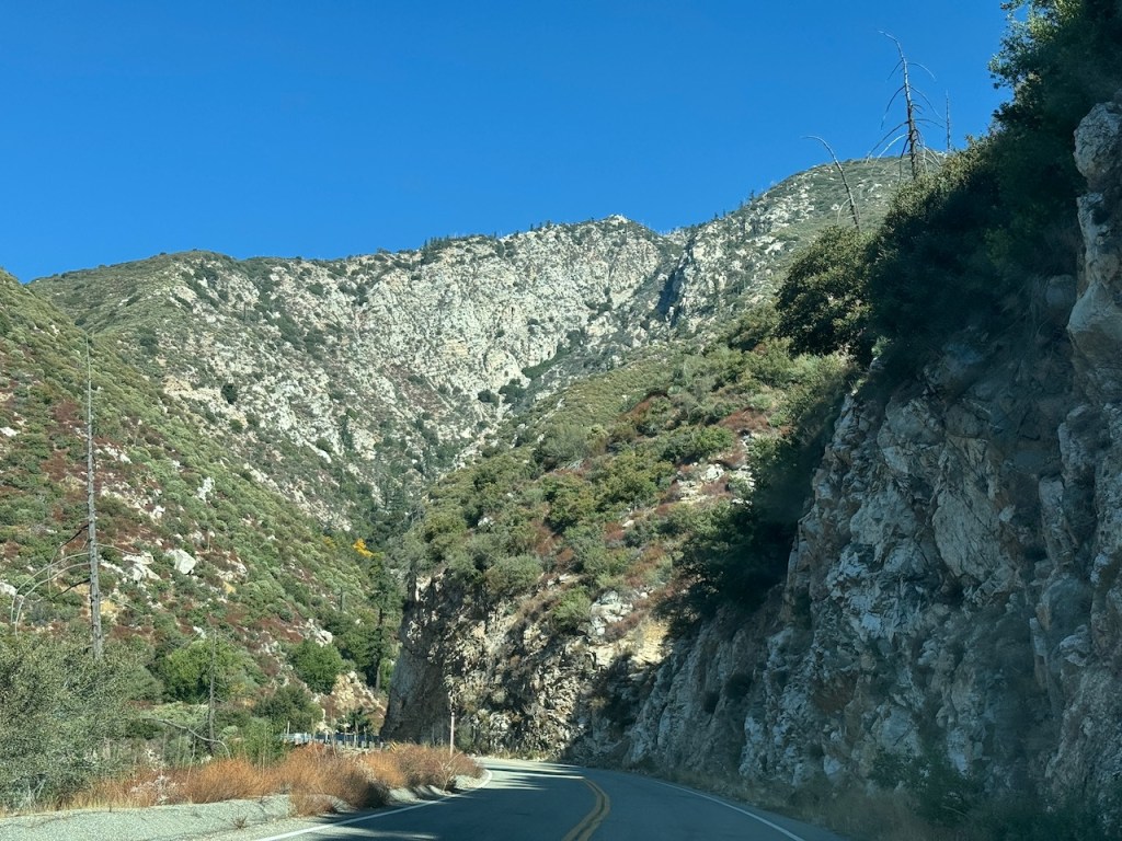
Highway 39
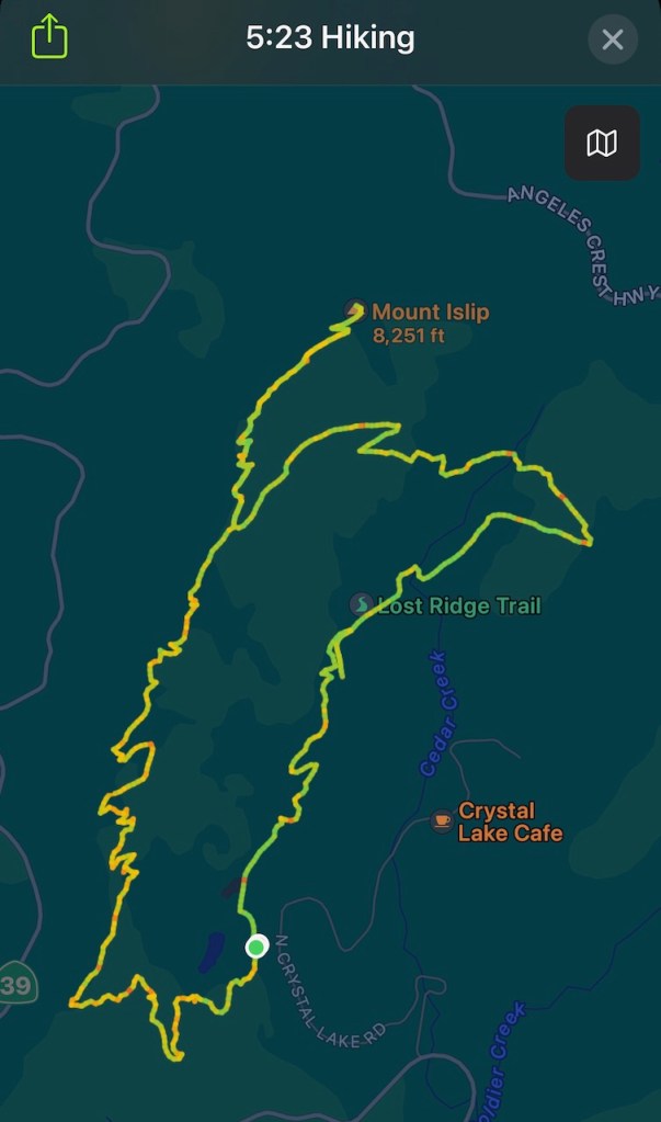
I drove up to Crystal Lake Recreation Area from Hwy-39, parking at the Islip Ridge trailhead. After climbing up to four peaks a year ago, to “The Four Hawkins,” I was back again in a beautiful alpine wilderness, standing deep within a giant granite bowl. Above this amphitheater, several jagged peaks rise. Just a year ago I climbed South Mount Hawkins, Middle Hawkins, Mount Sadie Hawkins, and South Mount Hawkins, where an old fire tower formerly stood, all in one day. I even hiked briefly along a scenic section of the Pacific Crest Trail.
But there was one more adjoining peak I had not climbed, Mount Islip, which is included in the Sierra Club’s Hundred Peaks section. It’s a fairly popular hike, but with the closure of Angeles Crest Highway (SR-2) due to rockslides, a result of the atmospheric river that swept through last December, the more popular, and shorter route via Islip Saddle, has been difficult to access, leaving two other options. I could have started in the campground, taking the Windy Gap Trail up. I chose to undertake a slightly longer climb, hiking up Islip Ridge, which begins by Crystal Lake and is, popular with anglers.
Note: A bit of a discrepancy regarding the elevation of Mount Islip. The Hundred Peaks website lists it as 8250 ft and alltrails mentioned it being 8262 ft.
It was a beautiful sunny day, as I began my hike. The cooler fall weather of early November would soon make way for the chill of winter, and it was the second Saturday in November. For all I knew, it might snow here in the next week or two – at which point the roads could become slick, and potentially even close due to snow. The window seemed to be fadingfast for hiking to peaks above 8000 feet. With hiking, like surfing, you need to know when to go, when conditions are right. Today was working up to being a perfect day for a hike, so long as a slight chance of rain held off. Storms were inthe forecast for the coming days.
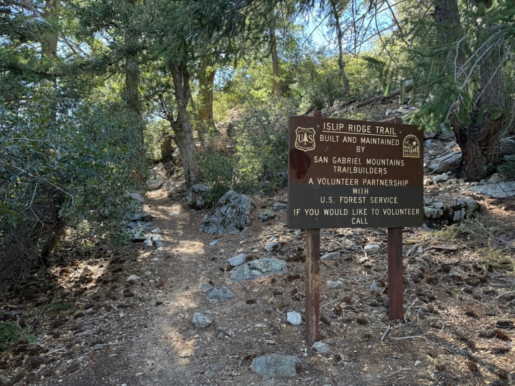
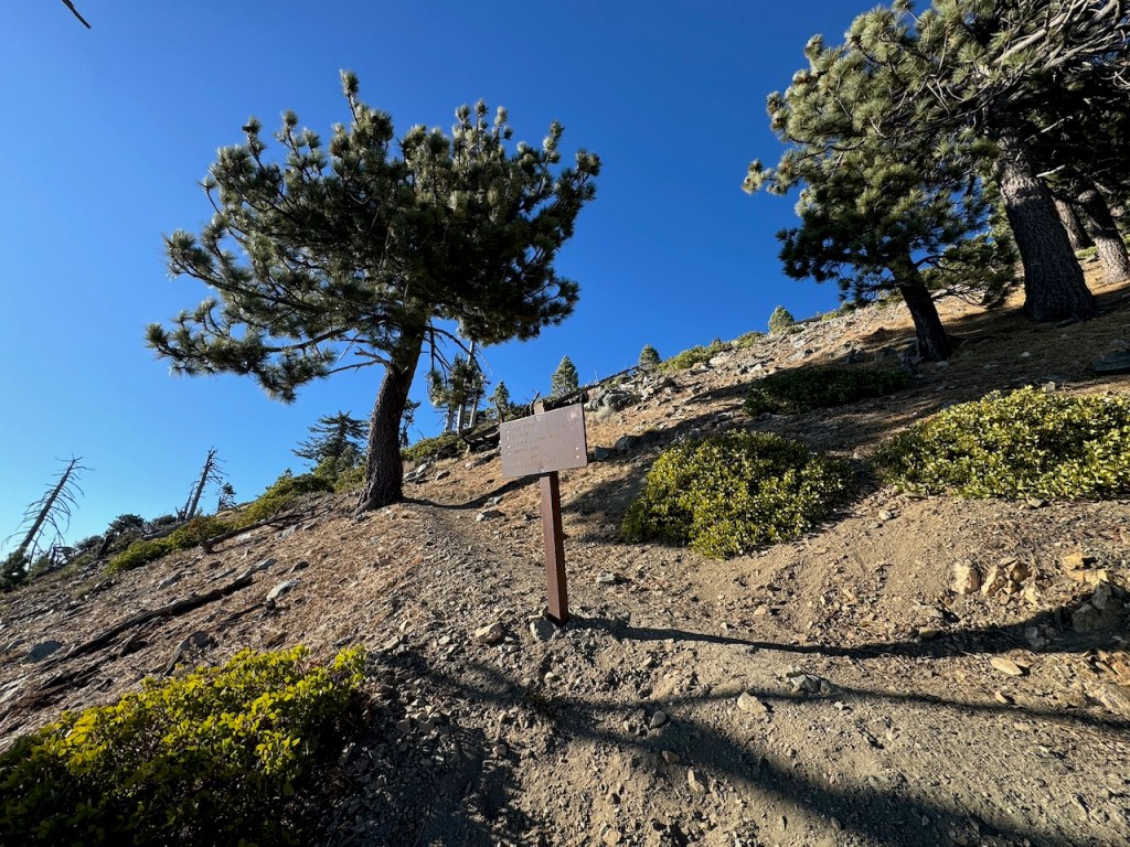
There are paths leading in several directions from the parking lot. Most people were walking up a paved road. At first, I thought that might be the way. Out of the corner of my eye, I see a group emerging from the woods. I wonder what they are doing, and put it together, that it’s the actual trailhead. Without alltrails confirming this, the trailhead, off to the far left of the parking lot, would have been tough to notice.
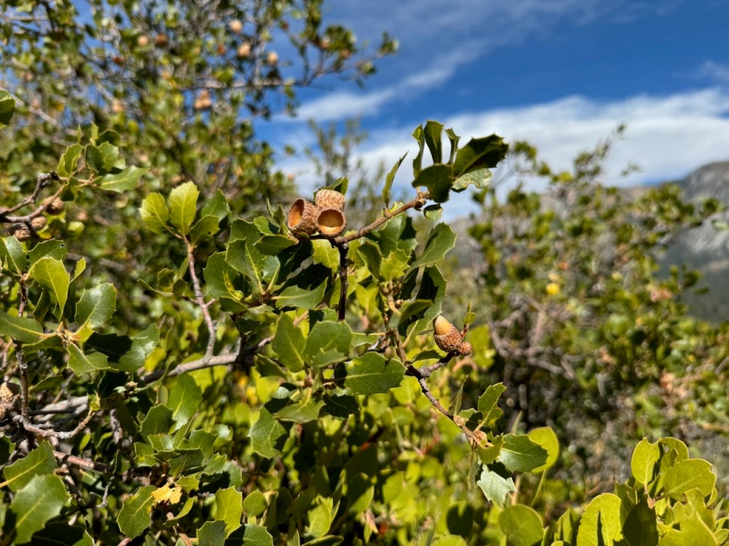
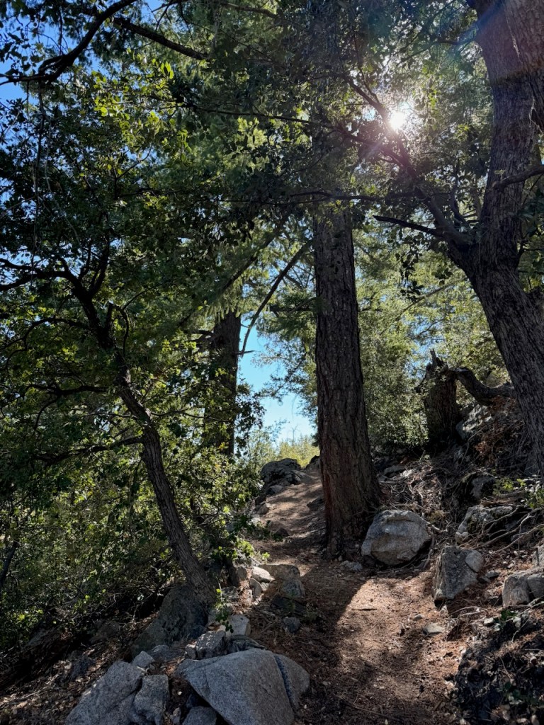
The hike began in an oak-forested area.
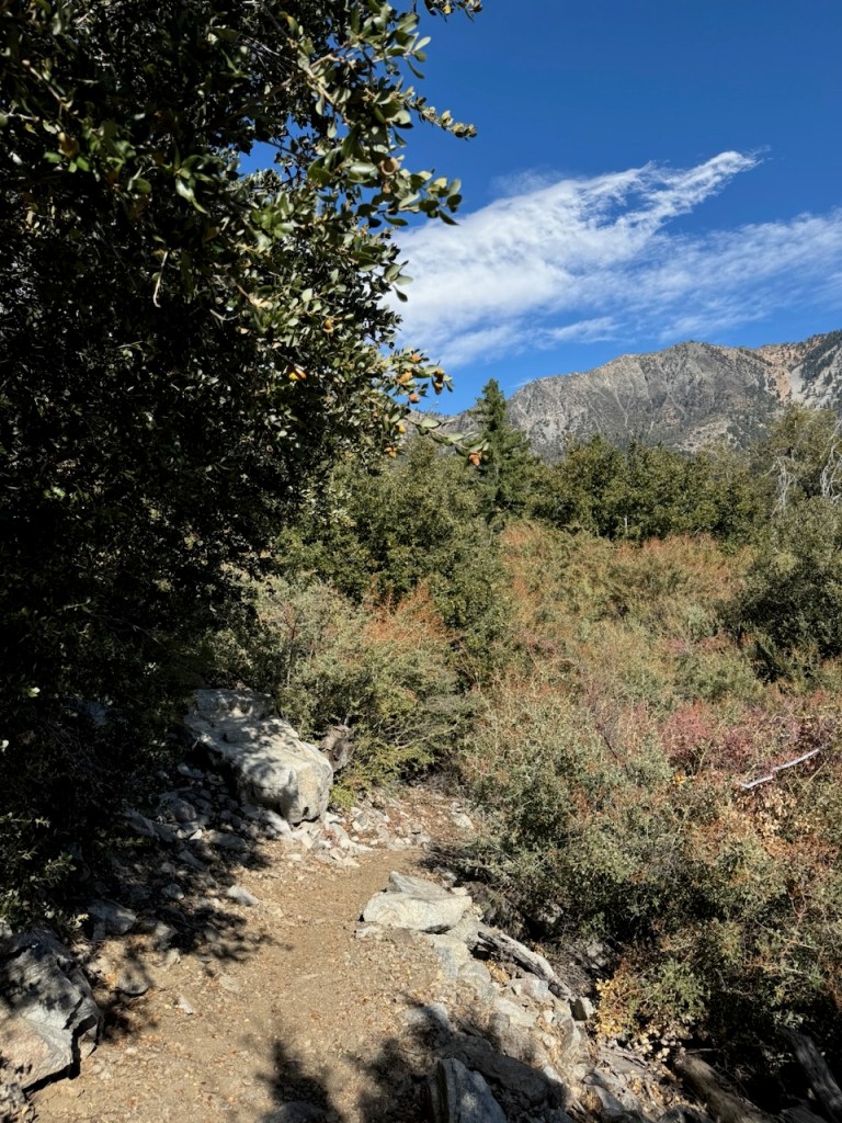
It was not all that intuitive to notice the trailhead, since the signage was tough to spot.
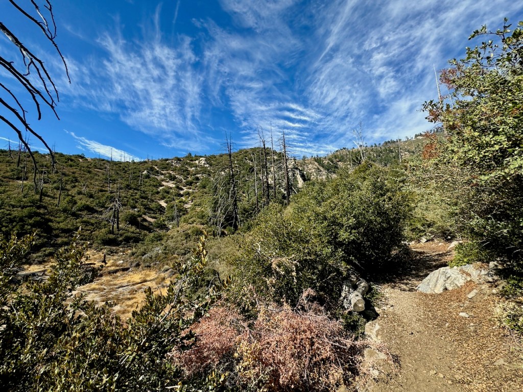
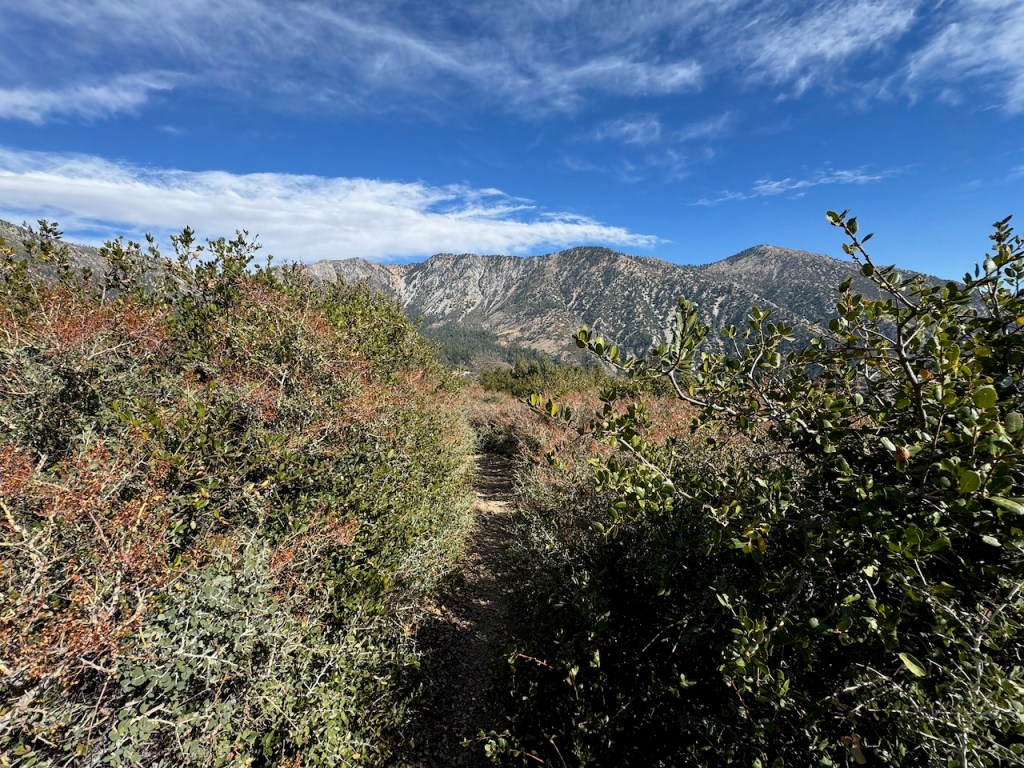
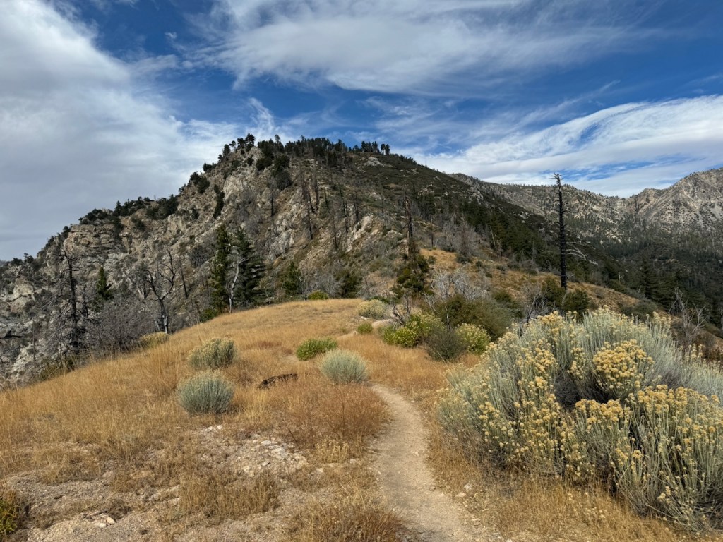
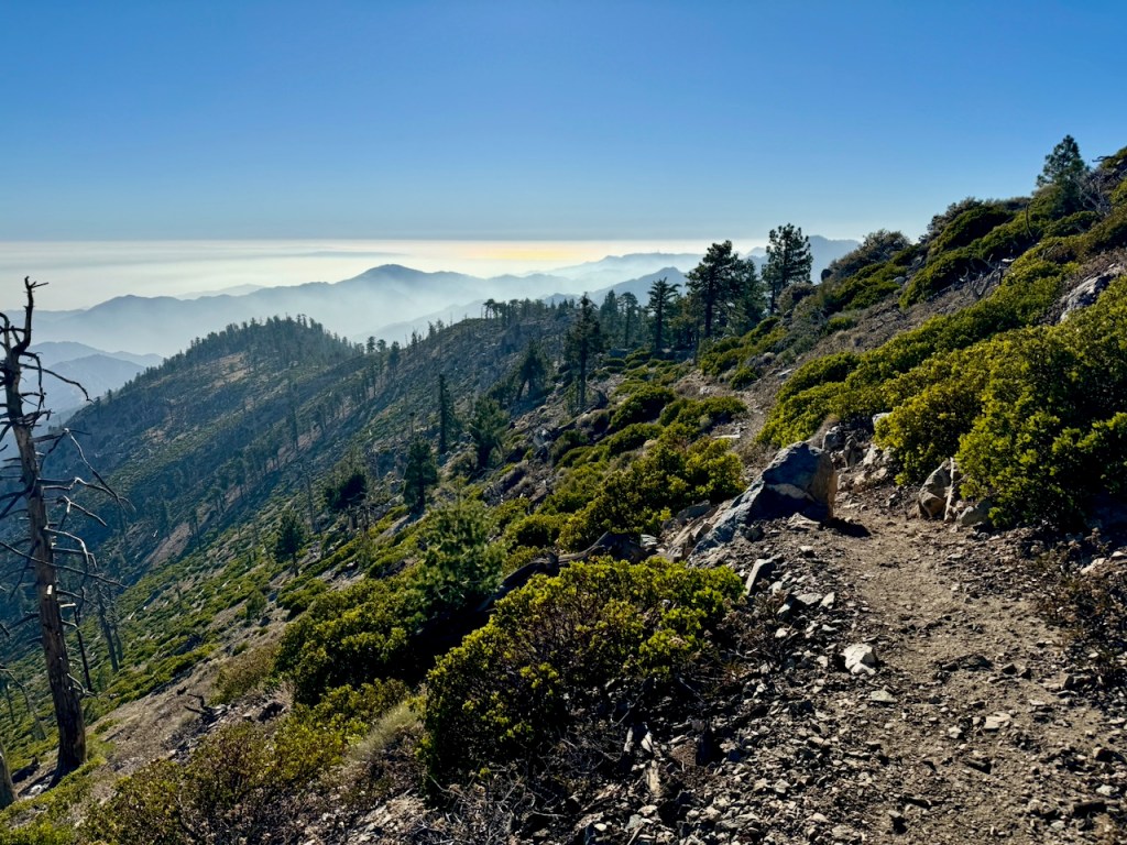
There would be a series of successive steep climbs, switchbacks, and saddles on this hike and amazing views. The view of Islip Ridge came into view up above, as I rounded another switchback.
As I climbed higher, I noticed it was rather dry and dusty along the rocky trail. There was nobody around, and it was peaceful here. If I was seeking solitude, I had found it.
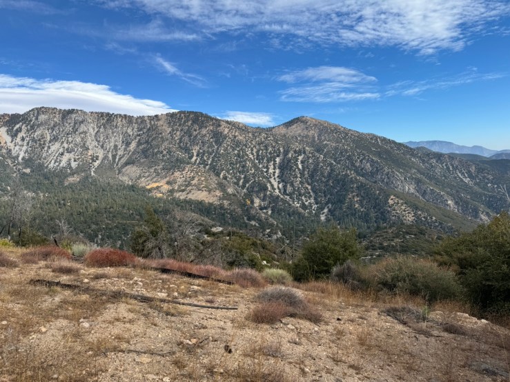
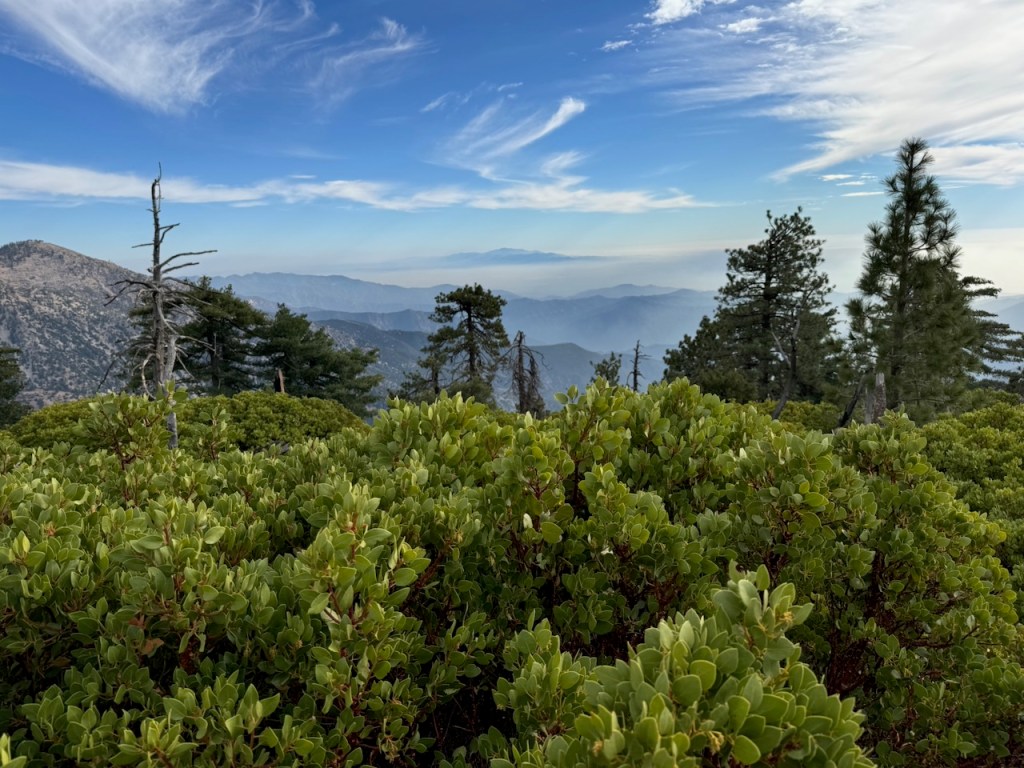
The whole of Crystal Lake Recreation sits within a giant amphitheatre of granite.
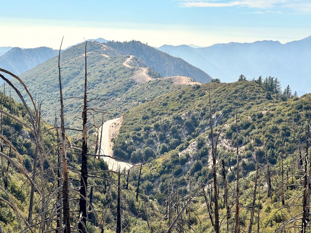
I looked back toward winding Highway 39, and towards Smith Mountain, which sits just to the south.
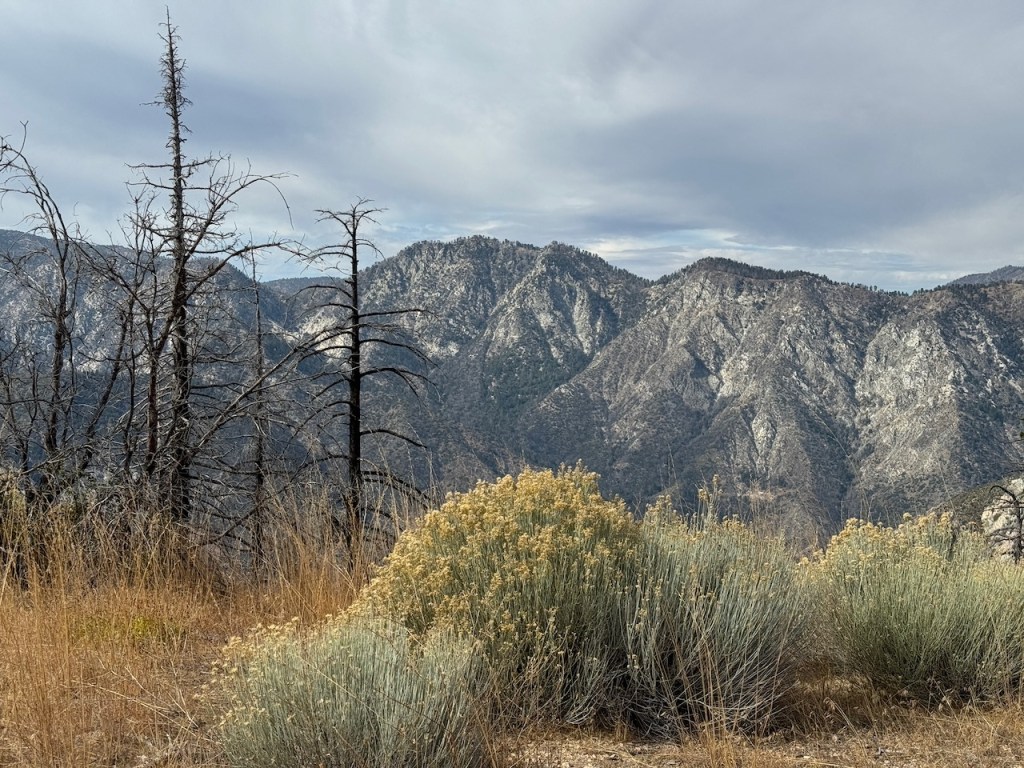
It was mostly exposed to the sun, and there were clear views of the opposite ridge of Middle, Sadie, and South Mount Hawkins. The ridge had a red tinge, from fire retardant, to hold back the Bridge fire, which charred the area east of Crystal Lake, raging for well over a month, growing to over 56,030 acres before containment.
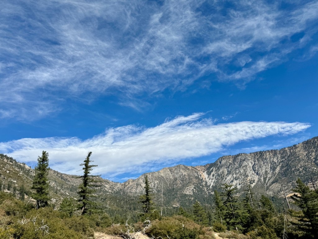
The higher I climbed, the more clouds began to move in, and I worried I might not have much of a view from the peak. I also was a bit concerned about rain, though none was in the forecast this morning. In the mountains, anything is possible, as mountains can create their own weather, and storms. You never want to be atop granite, if lightning is in the forecast and it wasn’t so I pressed on.
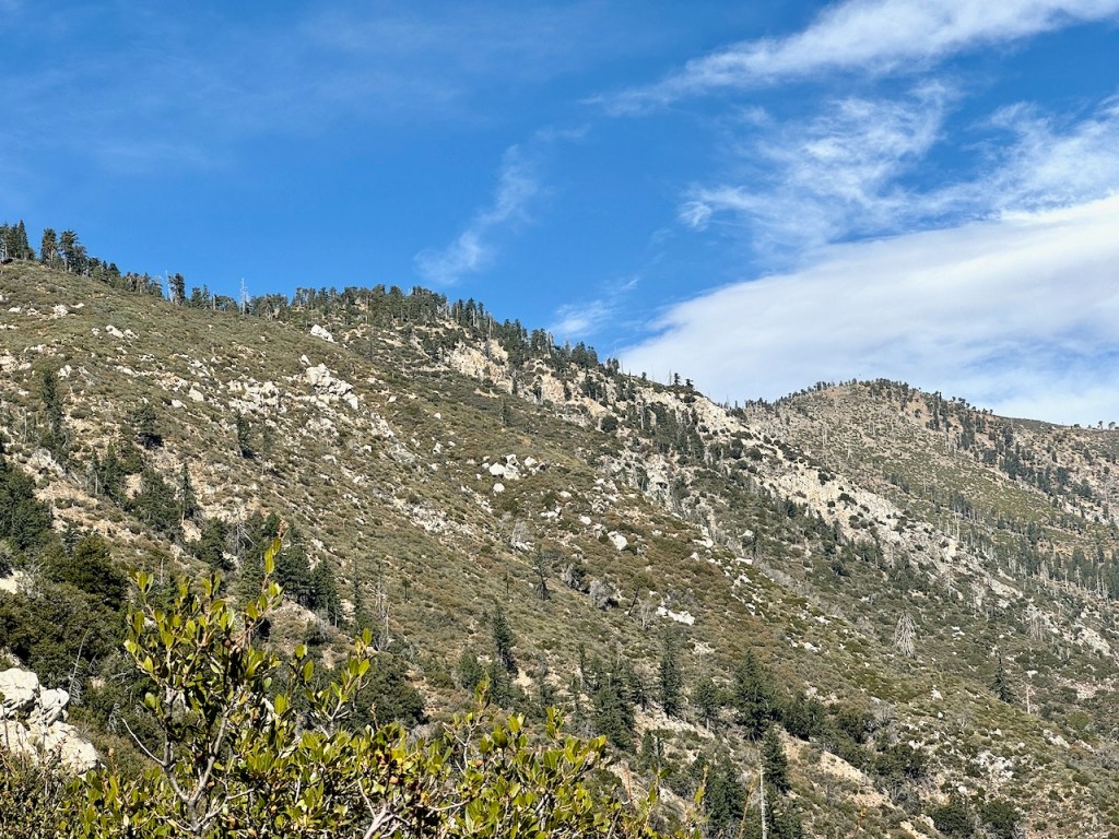
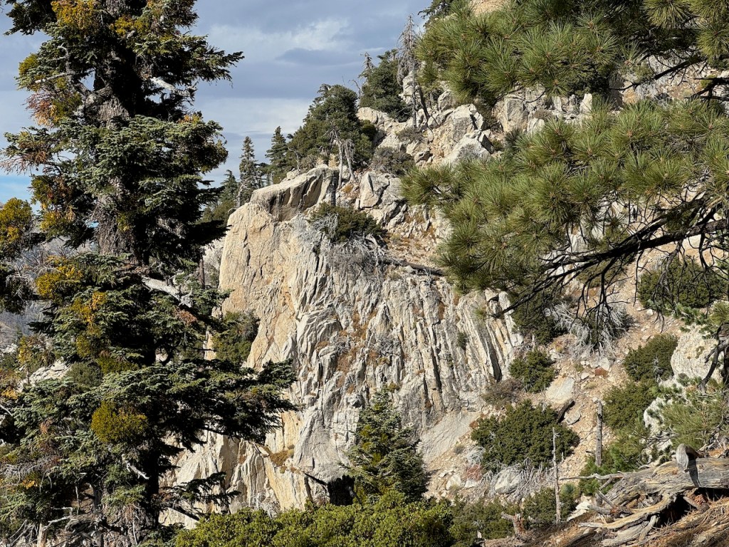
The steep hillsides of Islip Ridge cascaded down into the valley, flecked with many granite boulders and rock formations.
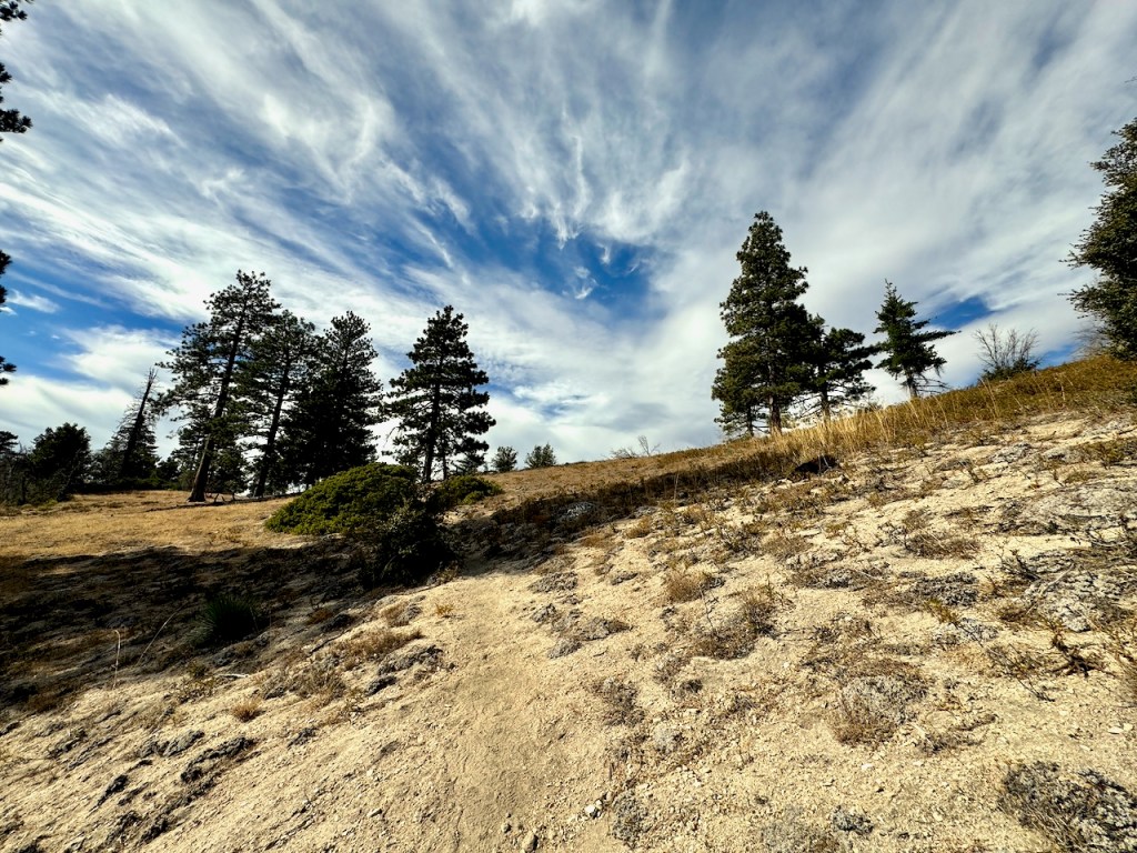
Amid a series of climbs, switchbacks, and saddles, were small stands of forest. These flat areas were perfect for enjoying a nice picnic, and there were several of them. I noted distance-wise as I climbed, where they were.
The granite trail glowed ever so golden in the mid-day sun as I climbed.
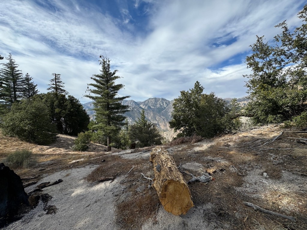
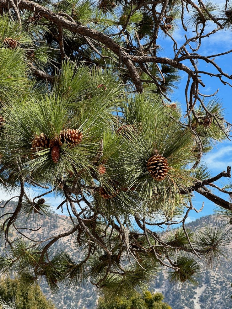
There were pine cones, acorns, and pine needles strewn along the trail. Fallen logs and branches lay about everywhere, ether a result of natural pruning or trail maintenance.
Fall was coming to a close, and it was evident since the grass had turned golden. That was nice, because the trail was less covered in brush, and snakes were less active. That is one thing to love about late fall and winter if there is less potential for encounters with venomous snakes. Here are tips for what to do in the event of a snake encounter. This year, I have seen a snake on just about every hike from April until September.
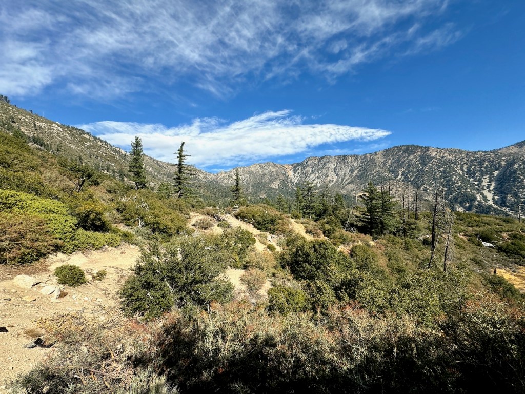
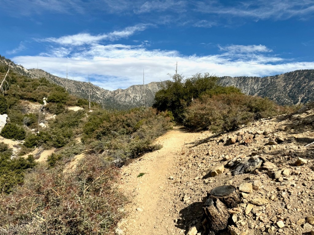
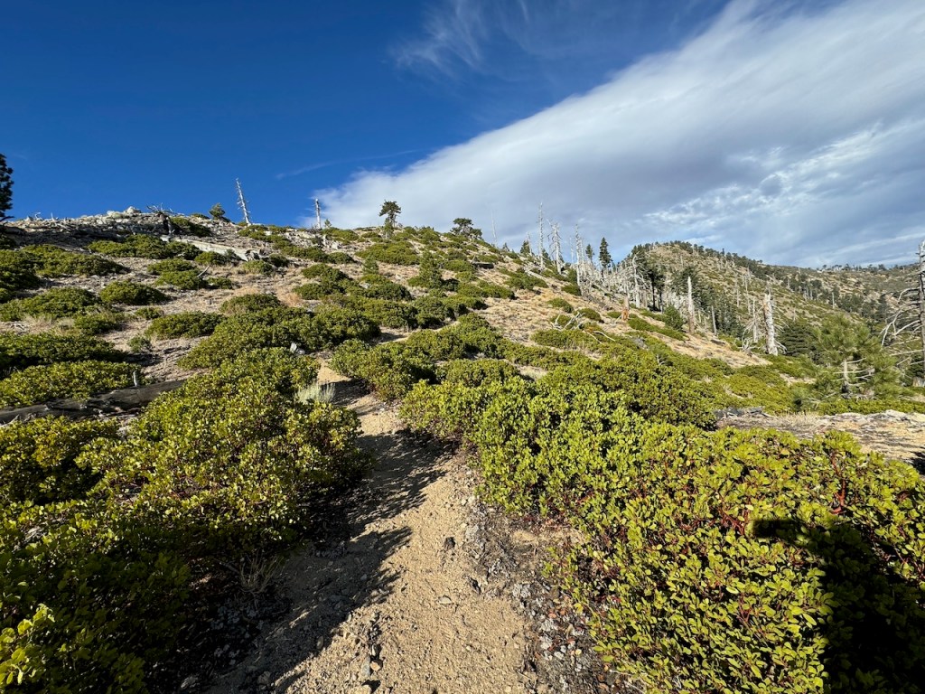
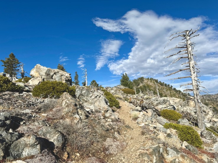
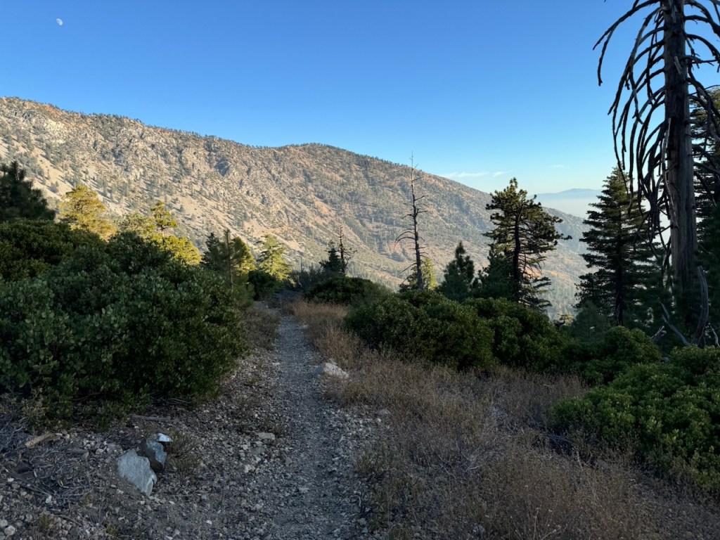
It became much rockier as I entered the alpine zone once again, as I surpassed 8000 feet, along the last stretch.
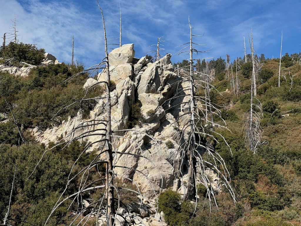
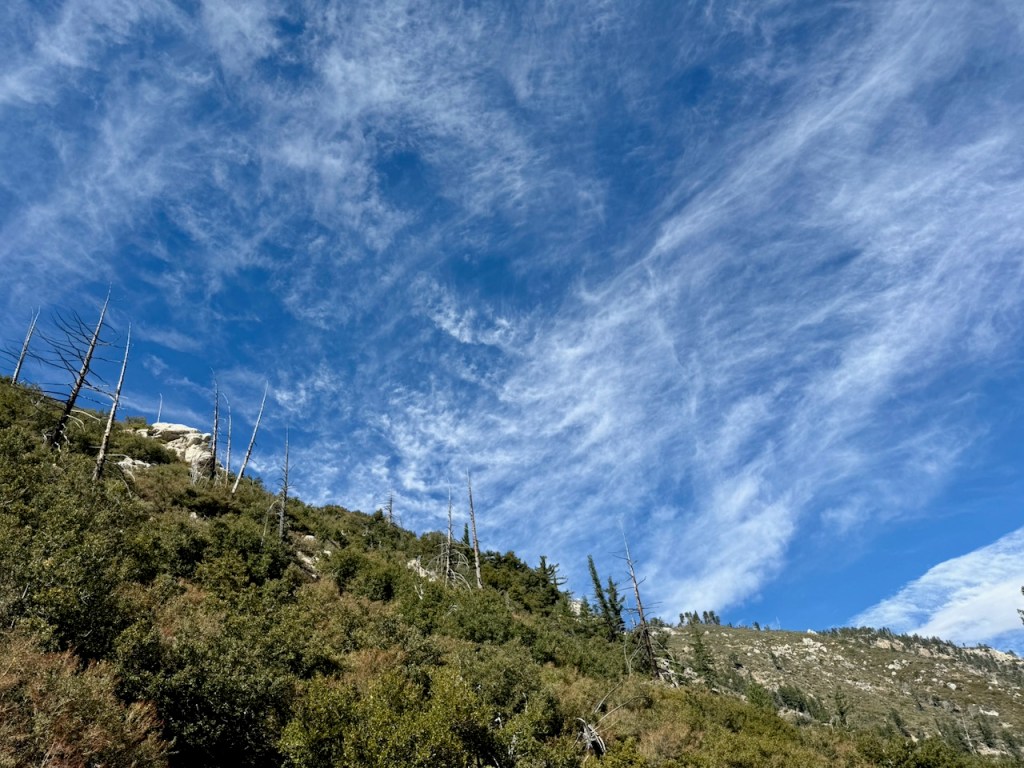
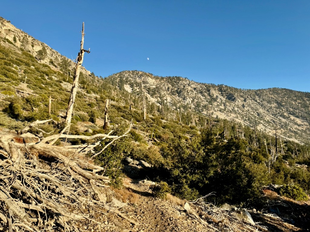
Along the hillsides were numerous large and interesting looking rock formations, amid standing deadfall, and low growing brush.
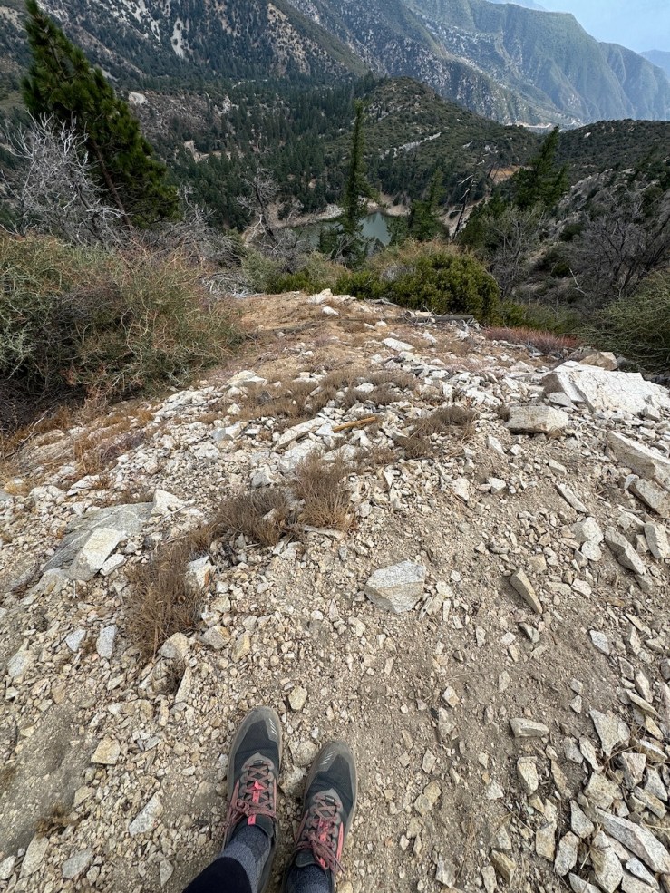
Looking back toward Crystal Lake down a steep slope.
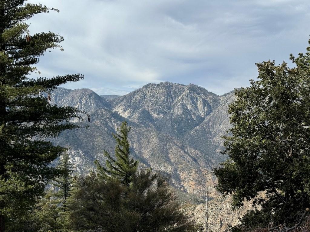
Looking towards Pallett Mountain and Pleasant View Ridge.
The red tinged hilltops of Middle Hawkins, Sadie Hawkins, and South Mount Hawkins.
I was feeling great and now had about two miles to go. I stopped a moment atop another saddle, perfect for a picnic, or taking a break. It was warm, the sun was now out, and there were clear skies during mid-day. But clouds would soon creep back in, so it would soon grow windier and get chilly.
I was about a mile to the summit when I passed two older gentlemen hiking south along the ridge, back from the summit. It was the same two gentlemen I had seen in this area a year prior. They made a joke, asking if I had seen them before. I had not passed them earlier that day, but as I started walking off I remembered passing them here a year ago.
The hillsides were thick with low growing Manzanita along the saddle. Off in the distance, there was still smoke from recent fires lingering.
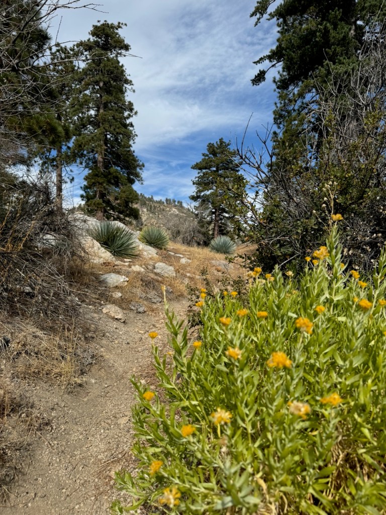
Despite being late fall, the bright yellow blossoms of Rabbitbrush were in bloom along the trail. I have seen this vibrant yellow shrub growing all along the adjoining hillsides, of the the nearby PCT, when I hiked to Mount Hawkins, a year ago.
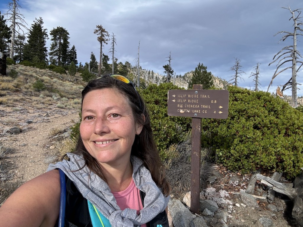
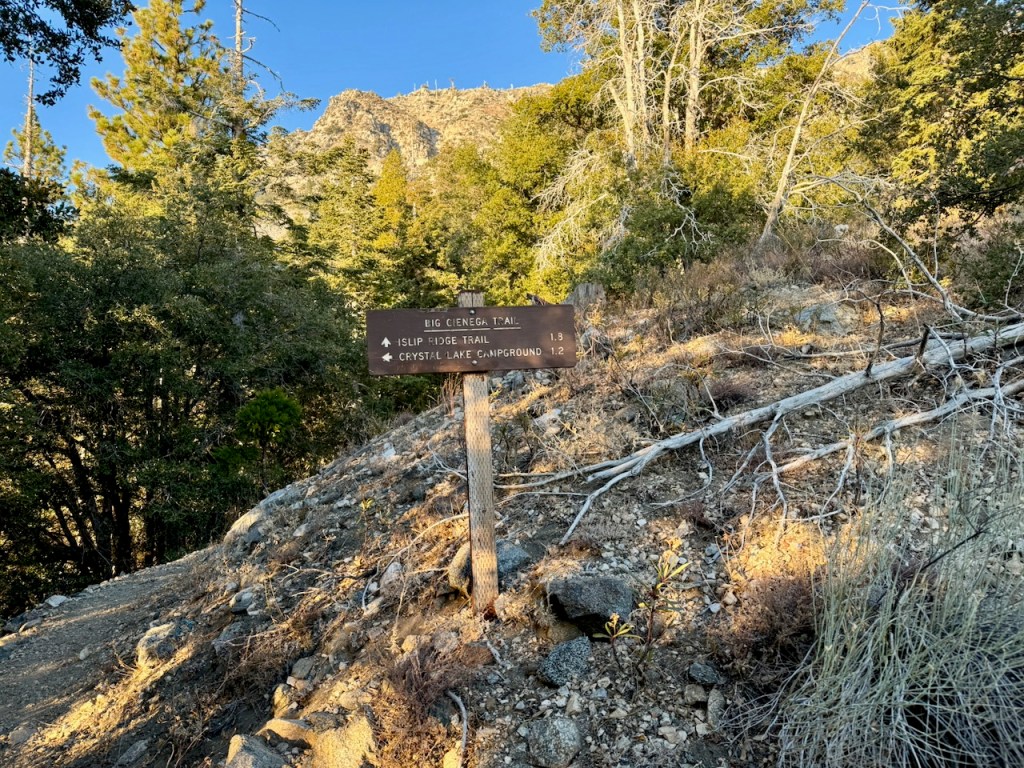
To my right, I passed Big Cienega Trail. I had never hiked this trail before, and my plan was to take it on back to Crystal Lake, after making it to the summit.
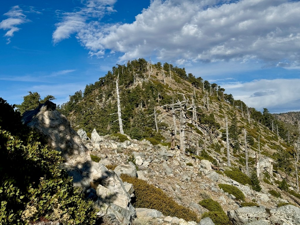
I approached the final climb up to the summit of Mount Islip, and the vegetation became more sparse. Some standing deadfall flanked the hillside to my right, amongst low growing shrubs.
Mount Islip had now come into view, and I was about half a mile from the summit.
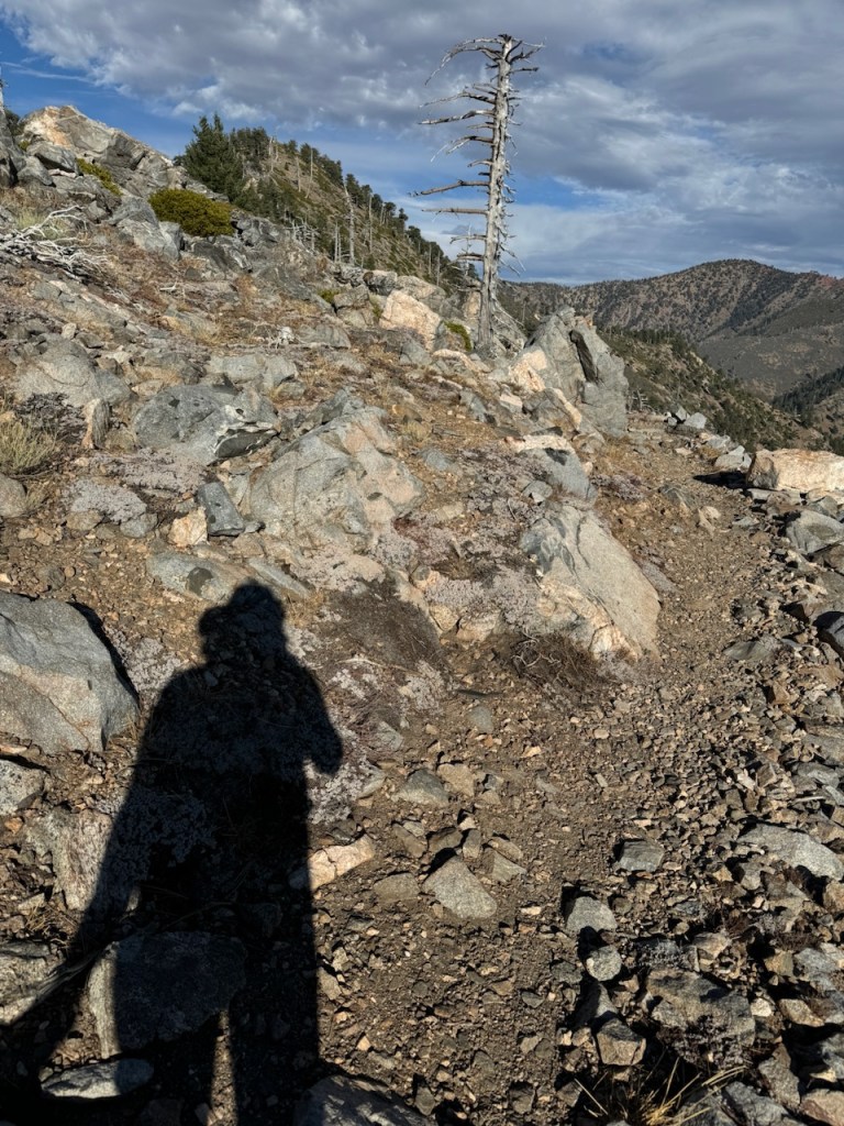
I was so close, and the landscape was extremely rocky in what was a definite alpine zone.
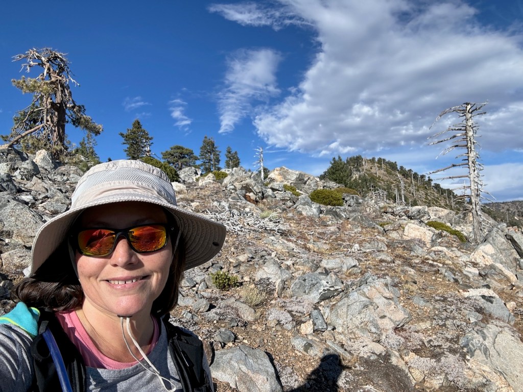
Thankfully, the sun was shining, and I could see in every direction. A cloudy summit can be somewhat uneventful, so I was grateful for that.
I would make a sharp right turn up a few short switchbacks, before I was finally there.
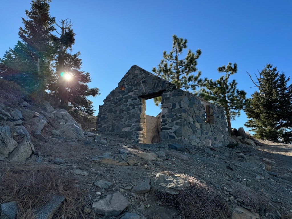
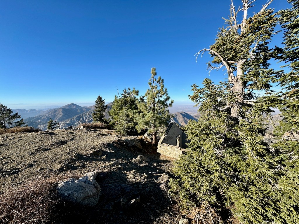
I peeked around the corner rounding the last switchback, casting eyes on this iconic old stone hut.
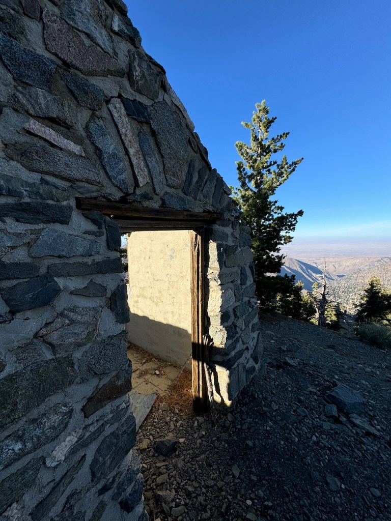
The “ski hut,” or shelter here, has seen better days. The roof, windows, and door are all gone. Still it makes for a good shelter from strong frigid wind gusts.
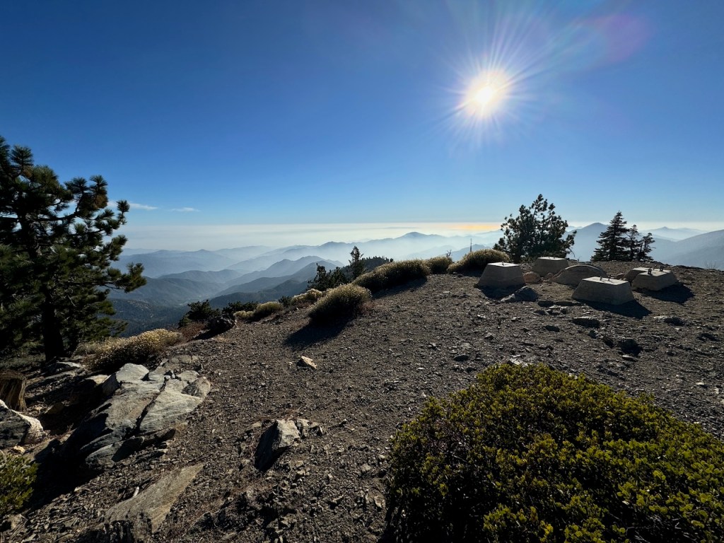
The views atop Mount Islip, were expansive, and worth the climb. There were remnants of an old fire tower still standing.
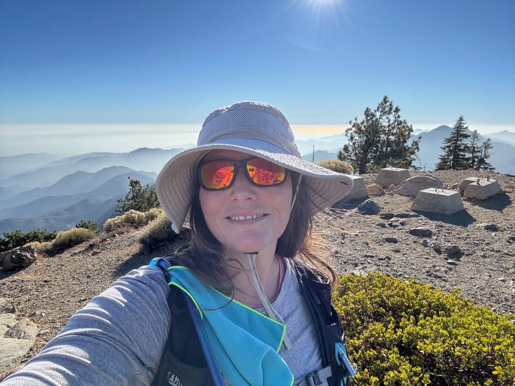
Mount Islip – Elevation 8250 feet
From the peak, there were large boulders to sit atop, giving an alternative view into the stone hut. I had made it to Mount Islip and found myself alone up there. This peak had the most breathtaking views of the area I had seen.
According to the Hundred Peaks website, “Mount Islip is named for George Islip, who settled about 1880 on land now included in Angeles National Forest (now known as Orchard Camp). There was at one time a fire lookout on the summit. The hut foundation on the summit is a remnant.”
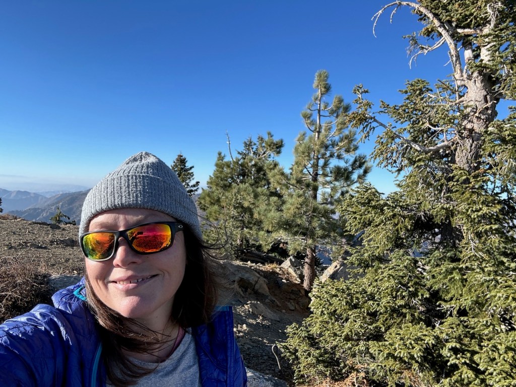
I sat atop Mount Islip amid gusty winds for about 15 minutes, as I grew ever more freezing, donning my winter jacket, and then deciding I needed to head back. With my late start, I wished to avoid hiking in the dark. So I kept my snack break short. It had grown intensely chilly and windy, and I had to hold onto my hat.
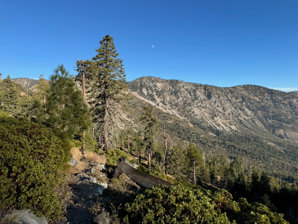
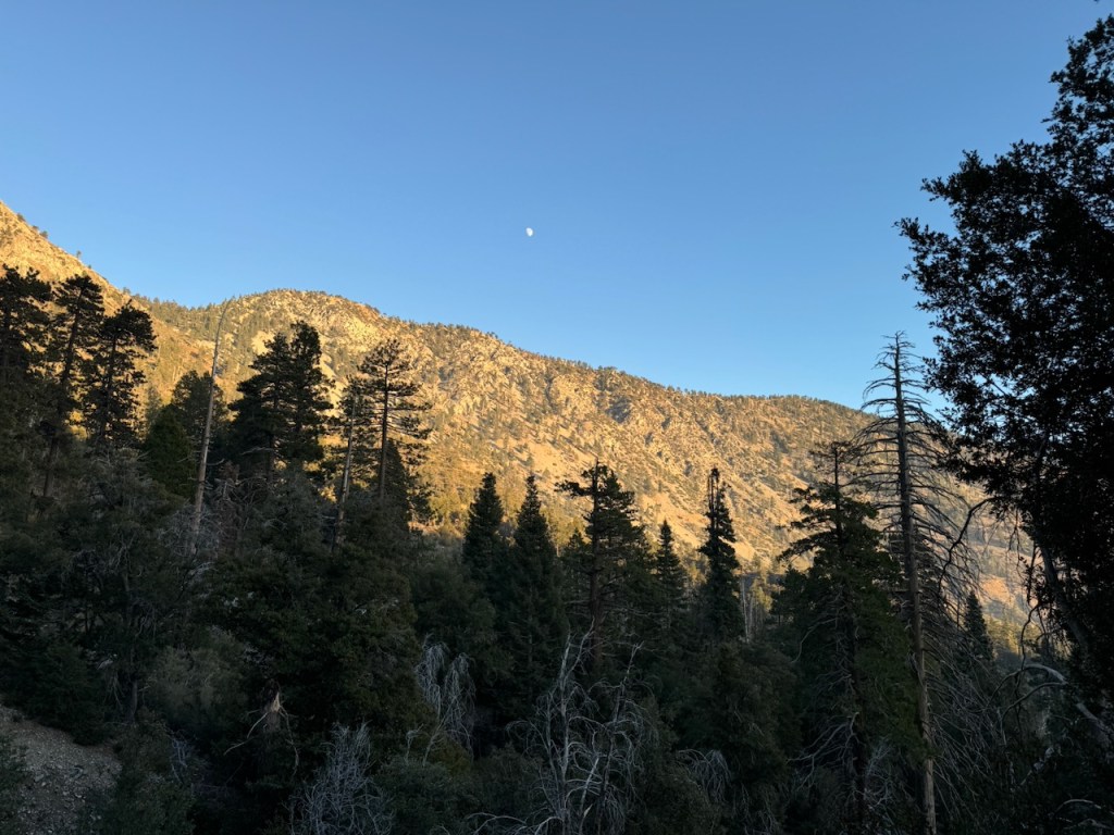
The moon hung above the hillsides as I backtracked toward the turnoff.
I planned to descend down Big Cienega toward Crystal Lake, via Lost Canyon Trail.
I continued down the switchbacks hiking deeper into this granite bowl, as the sun began to set.
I would not run into any other hikers on my way back.
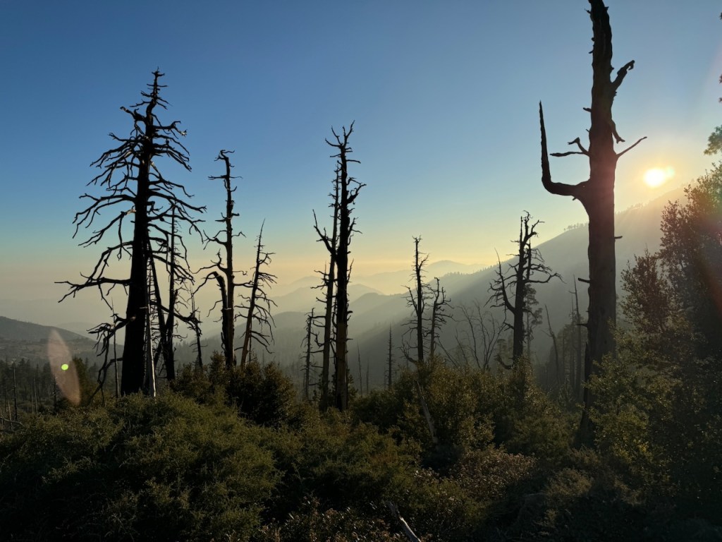
The way down was rather dusty and a bit stark with all the standing deadfall as I dropped down further in elevation.
I eventually met up with the forested area, which surrounds the Crystal Lake Campground.
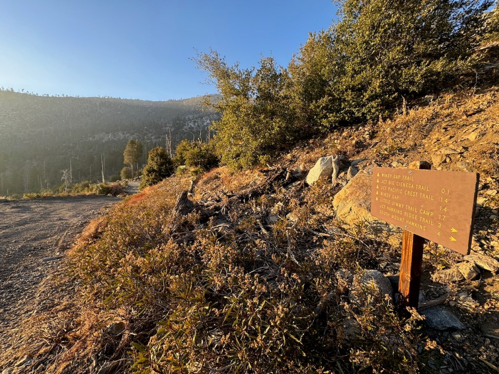
I made a right down a wide fire road bound for Lost Canyon Trail.
It began to grow darker, and there were a lot of bushes and shrubs, where creatures could hide. I was alone out there, as it grew darker, and not my plan.
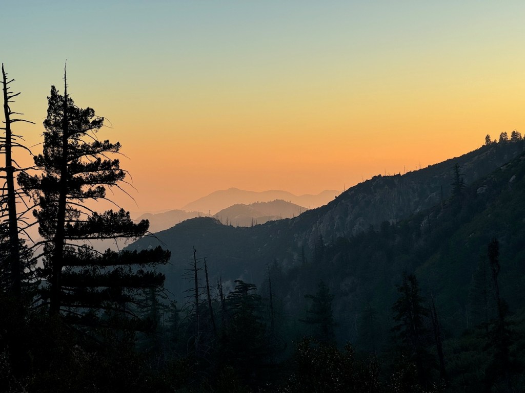
It was just past sunset when I accidentally veered off course, while heading for Lost Canyon Trail. I somehow missed the unmarked turn-off, losing my way to Lost Canyon. It rang true to its name, and my error cost me about 20 minutes. It was dark and a bit spooky heading down Lost Canyon in the twilight. I would consider Lost Canyon rather uneventful, and not very exciting. I was deep in a canyon, and began to think about night predators. It was not where I wanted to be, but I hiked on, through that dark canyon, on back to my car.
Until next time Mount Islip and Crystal Lake.
Leave No Trace
Just be sure to come prepared and follow Leave No Trace principles to keep the wilderness pristine for future hikers.
Like and Subscribe to my Channel!
I hope you enjoyed reading this, and it is helpful in knowing what to expect, should you decide to visit here.
About me
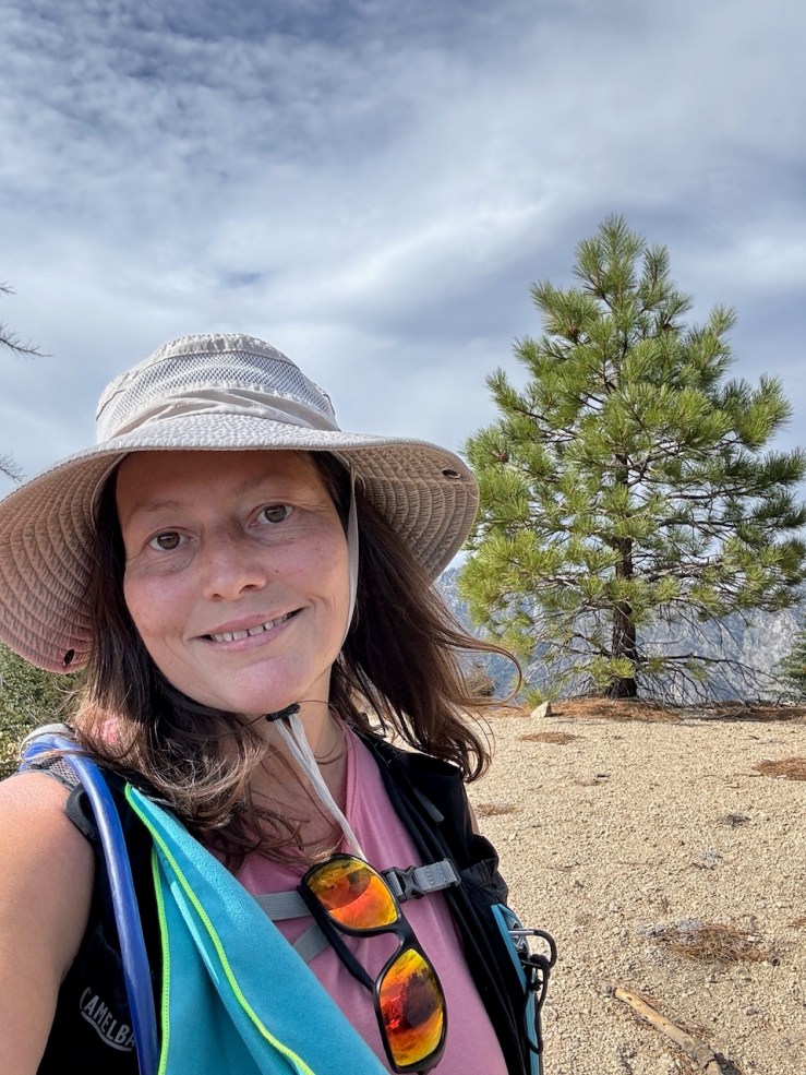
I’m Serafina! I’m a writer and California girl who loves to go exploring. Hope you will get outside today, breathe some fresh air, and be happy!
Follow my Journey…
Be sure to Like and Subscribe to My Youtube Channel where I post videos!
Disclaimer: The work on this blog is my opinion and my opinion alone and I am not responsible for the outcome if someone were to apply these thoughts to their own life. All text and photography copyright 2023 by Serafina, all rights reserved. Information and opinions provided are kept current to the best of the author’s ability. All readers’ usage of the ideas and opinions presented in the blog, are at their own risk. Be aware of the possible dangers of hiking, surfing, walking, cooking, and other activities, which may take place indoors or outdoors. By reading this, you agree not to hold the author or publisher of the content on this web site responsible for any injuries or inconveniences that may result from reading the blog, or partaking in any activity mentioned in the blog. Read the blog, and use its ideas, if you so desire, at your own risk.
