
About the Peak:
Distance: 8.6 miles
Time: 4 – 5 hours
Gain: 1,850 feet
Difficulty: Moderate
Location: Paso Picacho Campground
Parking: At Trailhead in the Park
Cost: Show State Parks Pass or pay a $10 Day Use Fee
Maps: Park Map, GPX file here and Alltrails map here
Cell Service: Zero to 1 bars
More Information: State Parks Website, and Brochure
Weather: Noaa – Socalsnow
Tips: A Garmin is recommended, since it’s the wilderness, and to bring your 10 Essentials.
In This Guide:
> Hiking in October
>Eastern San Diego Mountains
>Cuyamaca Rancho SP
>What to Expect
>Points of Interest
I paid a visit to Cuyamaca Rancho State Park, located in eastern San Diego County, on the fringe of the Laguna Mountain Wilderness. If you’re looking to get away from it all in the wilderness, the trails along Hwy 79 here are some of the least trafficked in the county.
It’s $10 to park within Cuyamaca Rancho State Park or you can show your state parks pass, if you have one. From May until December the road to Paso Picacho is usually open. However, during winter the road may be closed due to snow and ice. Neighboring Sunrise Highway, which passes through Mount Laguna, also closes seasonally. Check with Caltrans and the state park, to know if the road is passable, before you go.
Every October I have a tradition that I try to carry on every year. I love to hike and so for my birthday month, I will hike to a different peak, I’ve never been to before. It’s also a challenge so I usually like to pick a tougher one than before. This time around, my goal was to climb to Cuyamaca Peak (Elev 6512 ft), one of the highest peaks in San Diego County. This peak is listed on the Sierra Club’s Hundred Peaks List, in the San Diego Section.
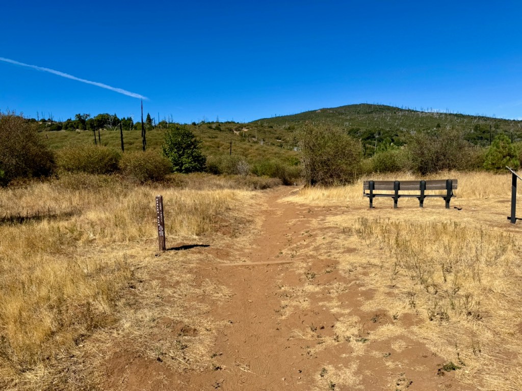
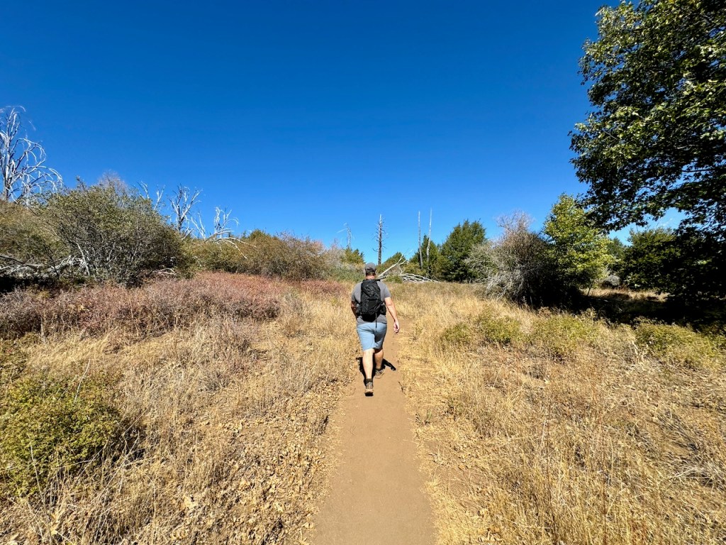
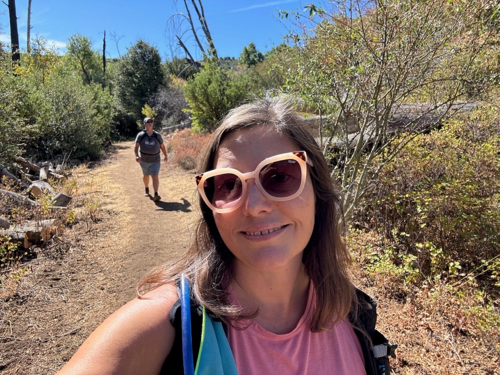
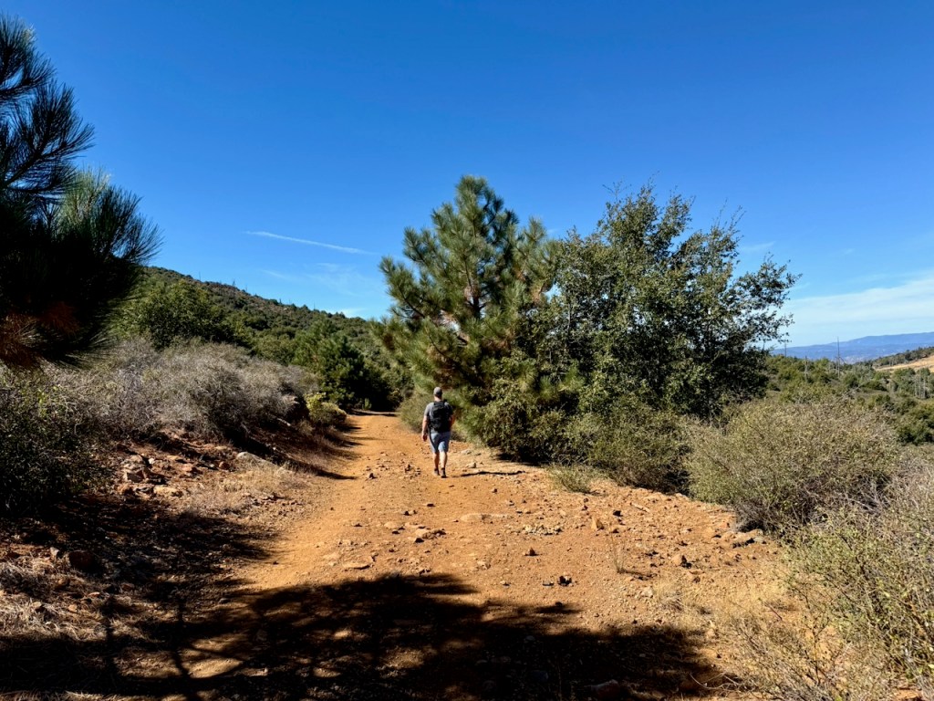
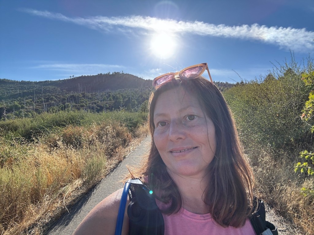
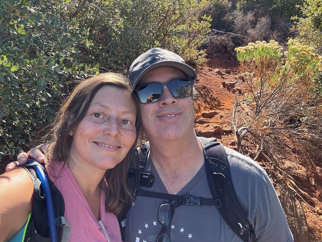
We parked at the trailhead, located within Paso Picacho Campground, after driving into the park, and veering to the right, towards a large parking area, with a shaded picnic area, and restrooms. I would not be doing this one solo, but had company. This was a celebratory hike, and we were celebrating together, my boyfriend and I.
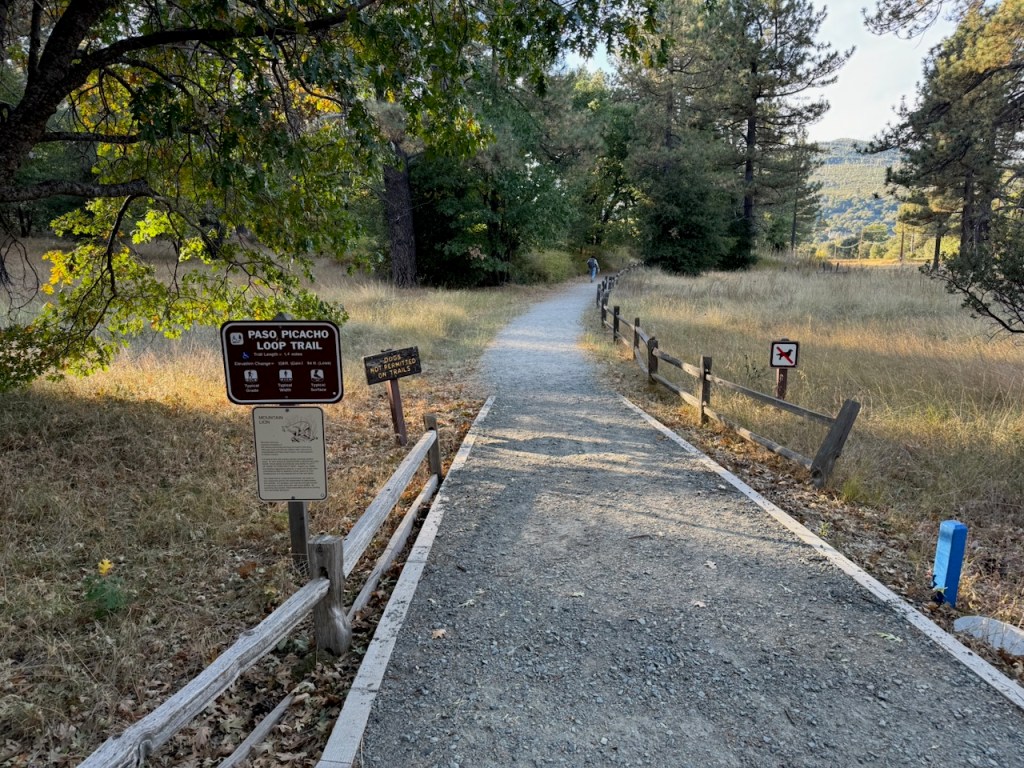
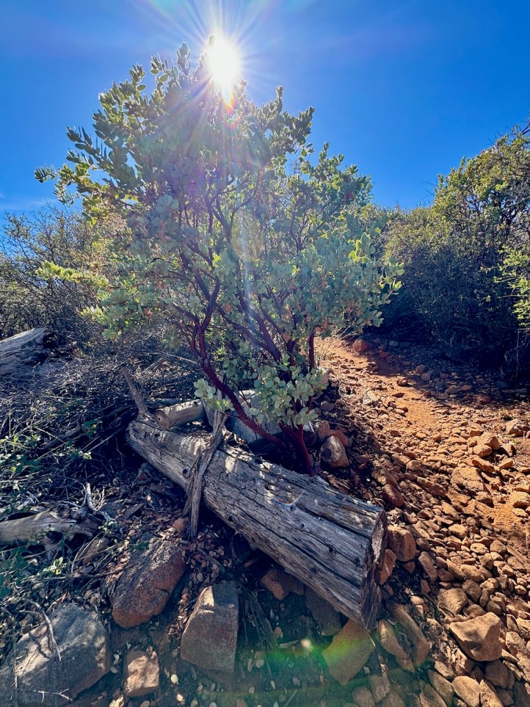
It was perfect fall weather, a clear sunny day and the high was in the low 70’s. I started my hike along the Azalea Glen Trail.
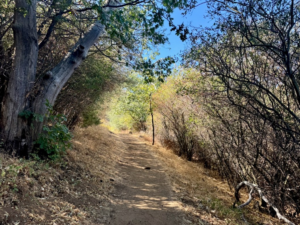
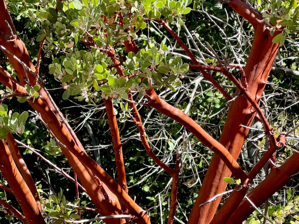
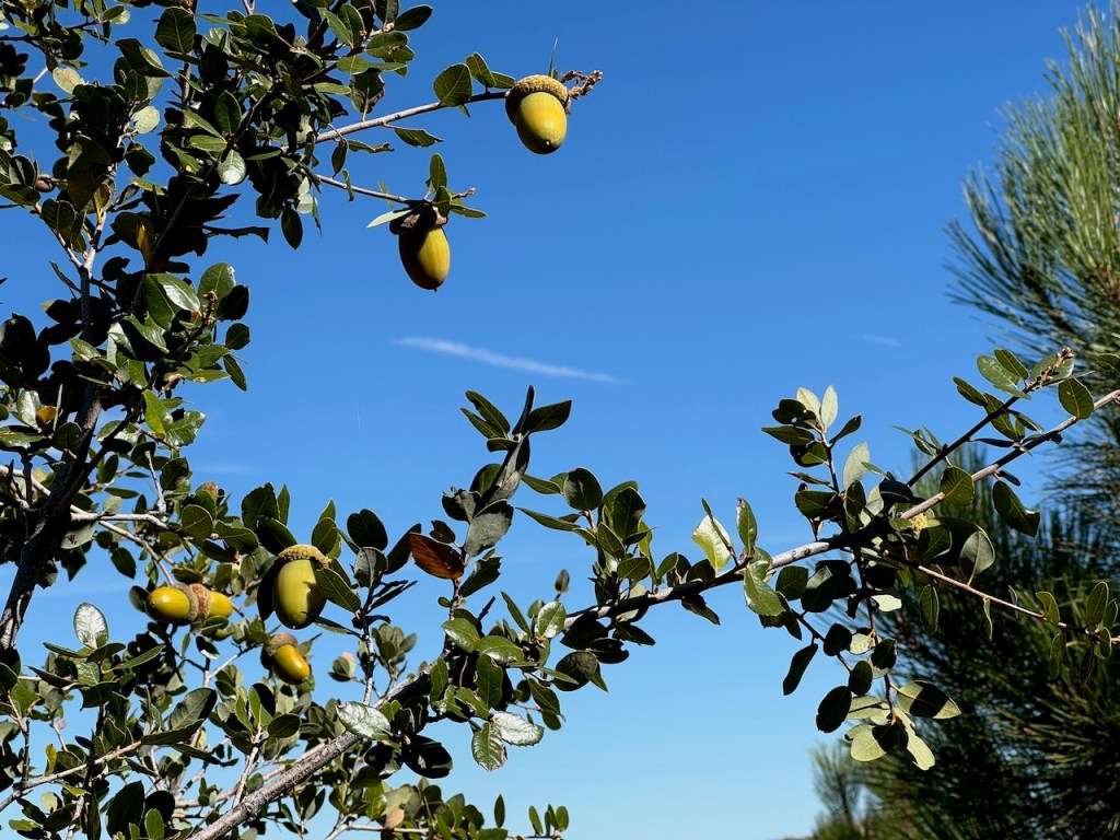
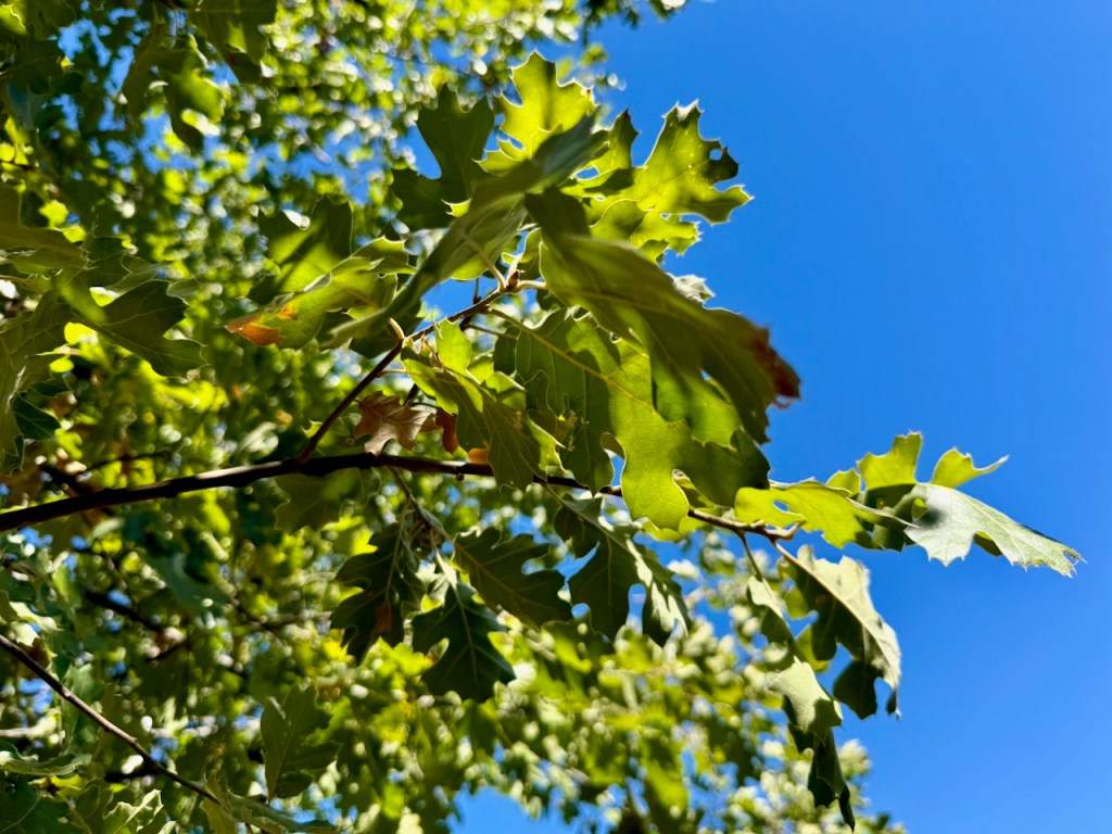
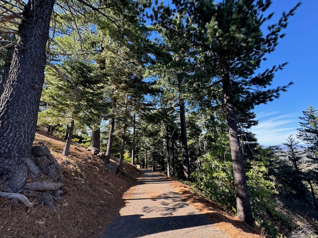
I made my way through a shaded woodland of oaks and pines, along the fringe of the campground.
The Azalea Glen Trail, was dry and dusty since it was October. Late fall is a time when most of the green growth has faded, except for the evergreen trees and shrubs, few of which stay in bloom year-round.
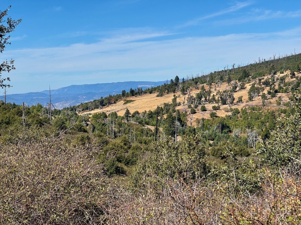
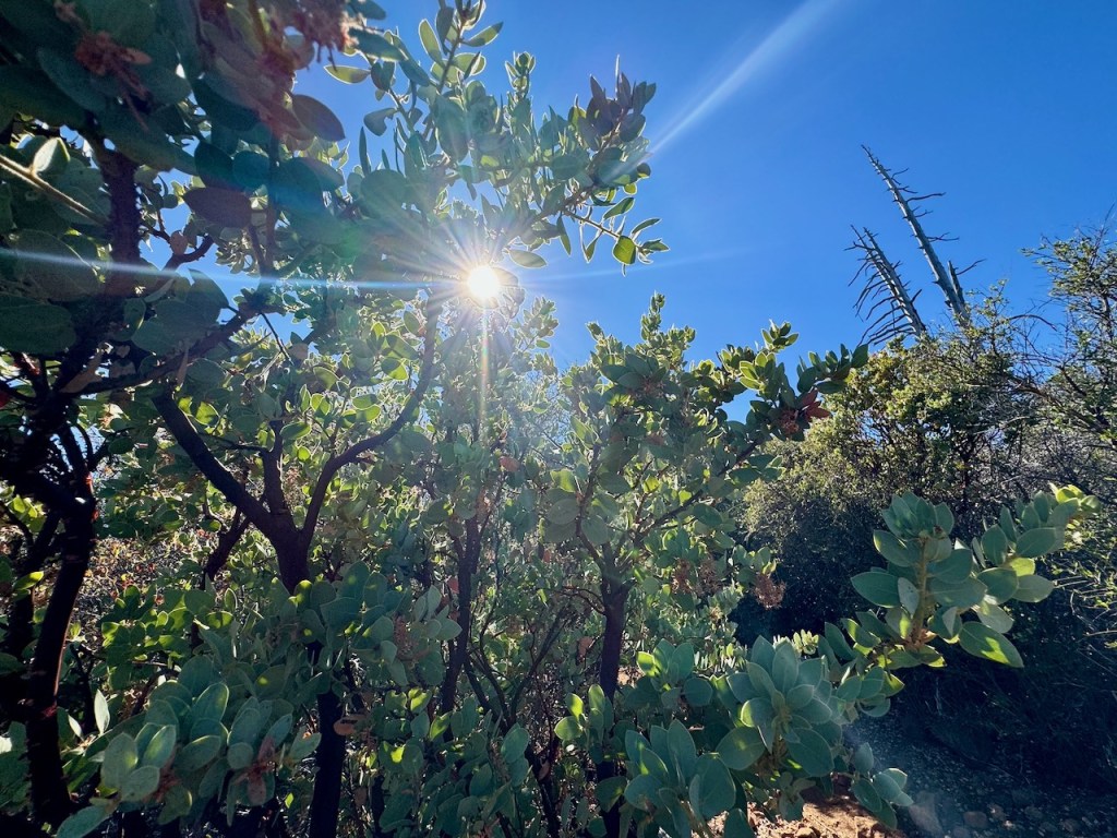
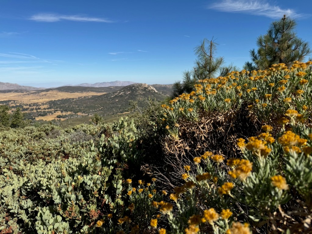
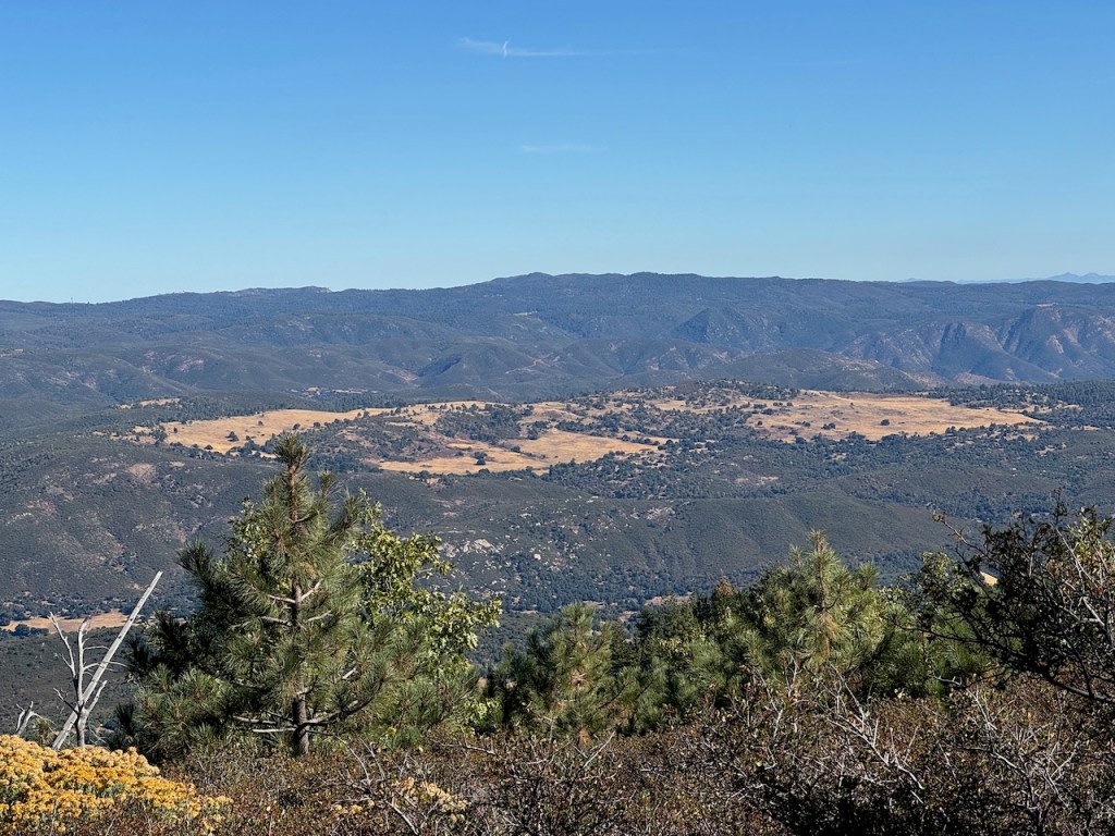
The landscape was dotted by pines, illuminated by golden hued grasses, set beneath a backdrop of brilliant blue sky.
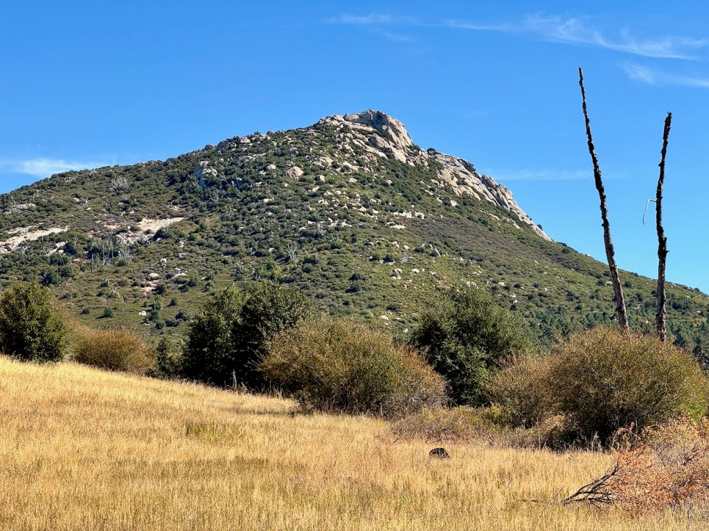
Off to my right I spotted Stonewall Peak stood tall. It is one of the tallest peaks in San Diego County, best hiked from late spring to late fall. Its distinctive granite dome was reminiscent of those found in Yosemite National Park.
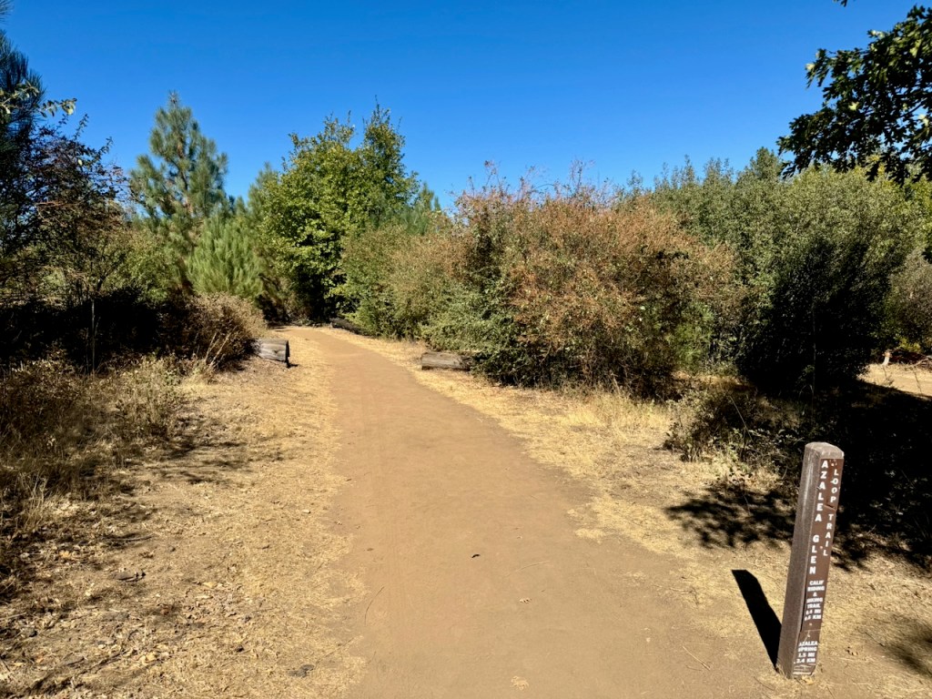
As I continued down Azalea Glen Trail, I veered to the left, away from the short Paso Loop Trail. I now had a clear view of Middle Peak straight ahead.
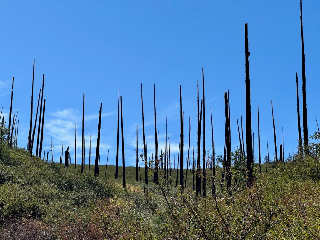
Evidence of past fires in Cuyamaca Rancho State Park is extensive. As I crossed a small bridge, and dry creek bed, there was an entire hillside of blackened, charred tree trunks, sticking straight up like burnt matchsticks, which was once a dense forest.
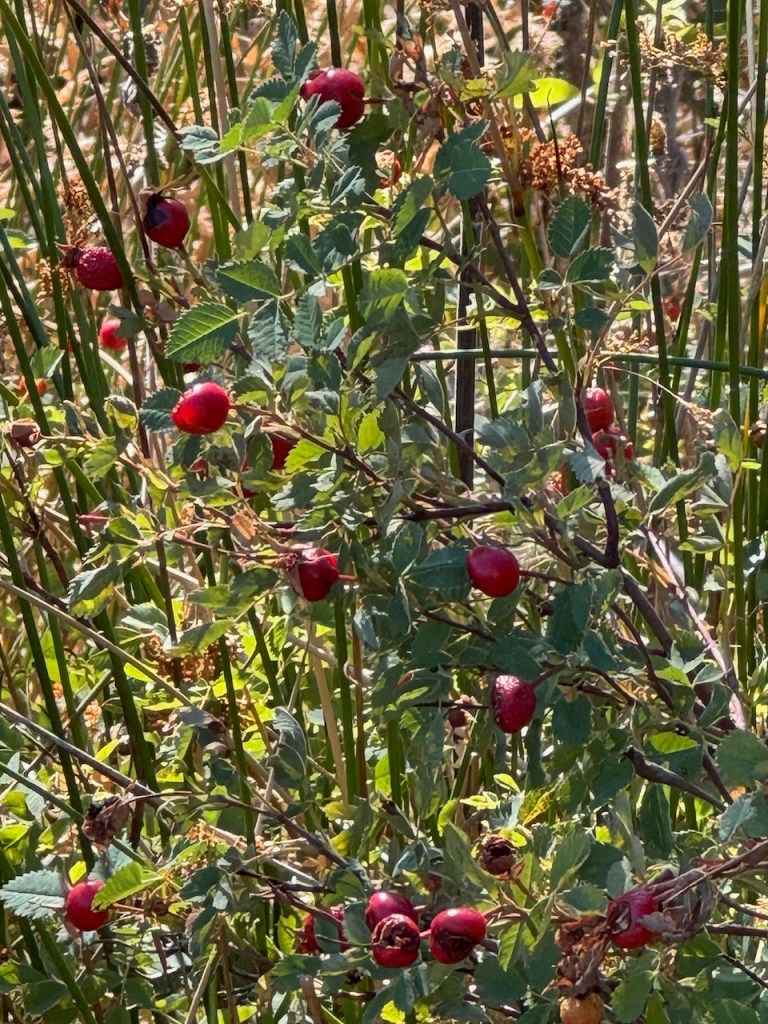
There was a patch of what looked like bright red berries at first. They were actually rose hips, a wild edible, which can be foraged, and is high in vitamin C.
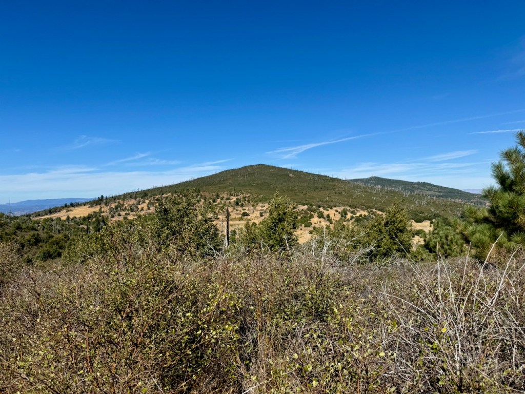
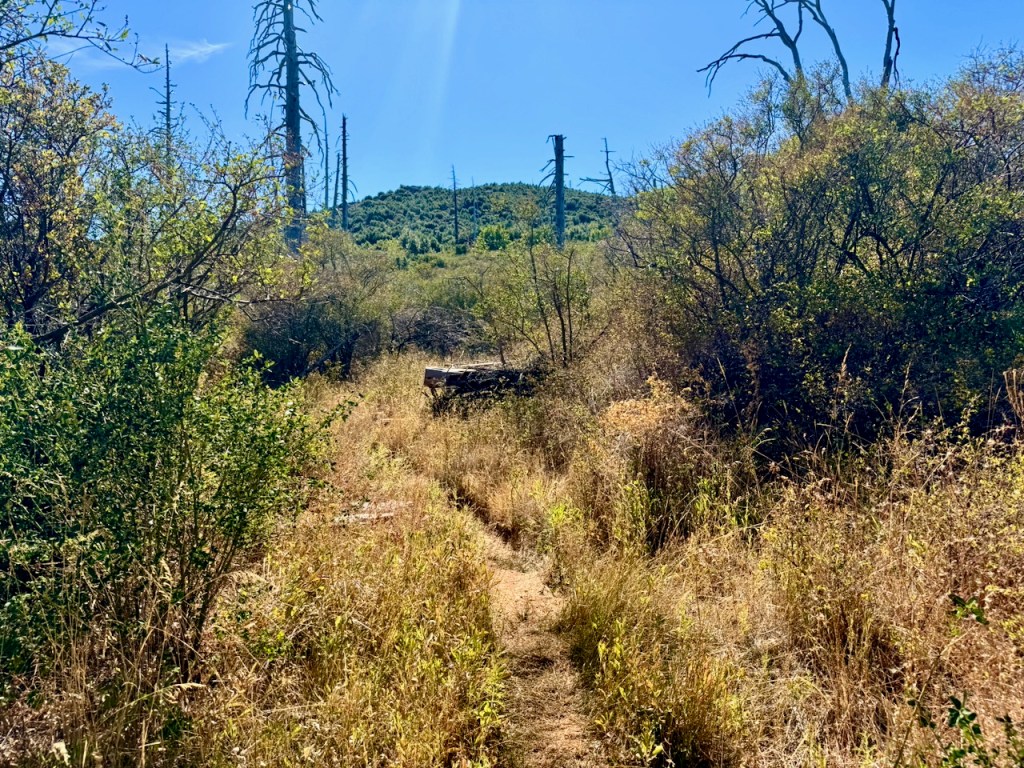
Middle Peak too was covered in standing deadfall, the remains of charred trees, some of which were bleached a grayish white, like skeletons.
The area was tinder dry, and I knew that wildfires are a fact of life in California, something that’s can’t be prevented in all cases. Pines need fire to release their seeds to regenerate. The Cedar Fire started this exact time of year, in October. We needed to be vigilant. There were no red flag fire warnings or high winds forecast.
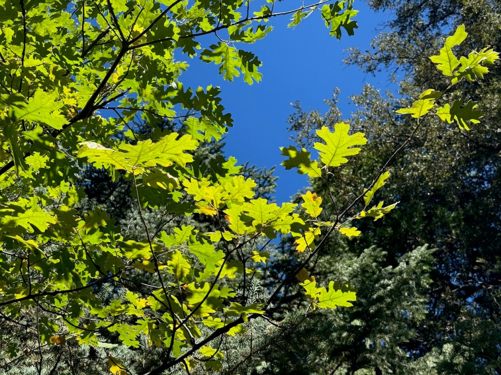
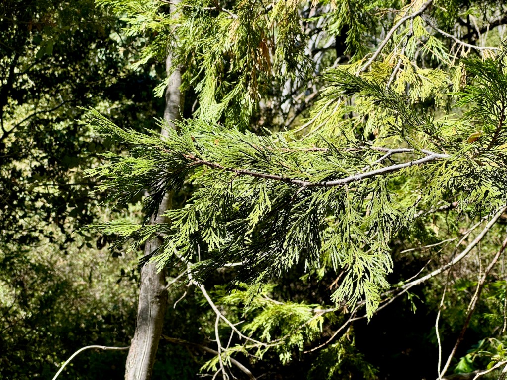
I dipped back into another section of forest. The foliage had not started to turn, and still was a vibrant green. There I enjoyed much needed shade from the afternoon sun.
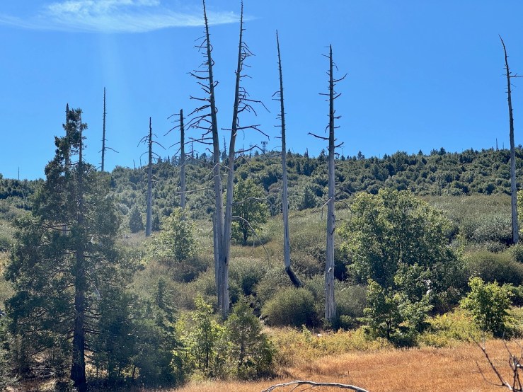
I was out of the woods once more, where there appeared to be mostly of new growth. This area burned about 20 years ago in the disastrous Cedar Fire, a wildfire no San Diegan will ever forget.
We climbed gradually higher along a dusty trail. So far, it was a wide, flat and a fairly easy hike. That was about to change relatively soon, as the beginning of this hike sorta heads downhill for a bit.
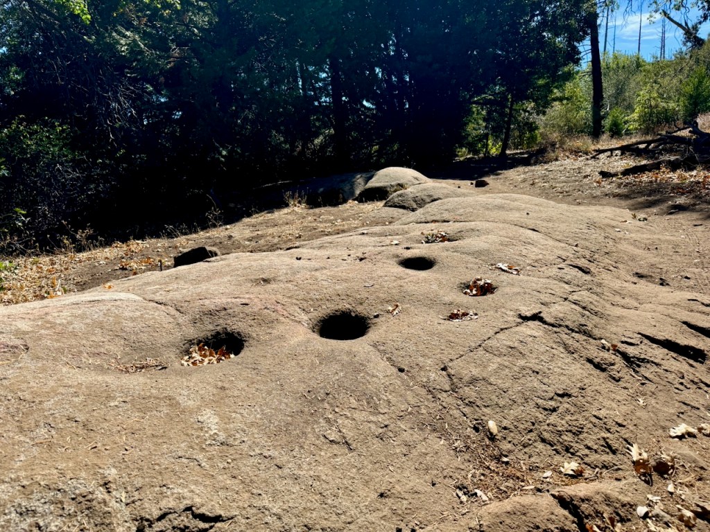
Eventually I came to a waypoint along the trail, a large flat rock with morteros, or grinding stone the tribes would grind acorns into flour on, evidenced by circular indentations in the rock. This is kind of an interesting aspect to point out, especially if you have kids along. I love learning about history stuff like this, and historic sites. These are about as common as having a kitchen. They ate a lot of acorns, since it was the main food source of the Kumayaay tribe.
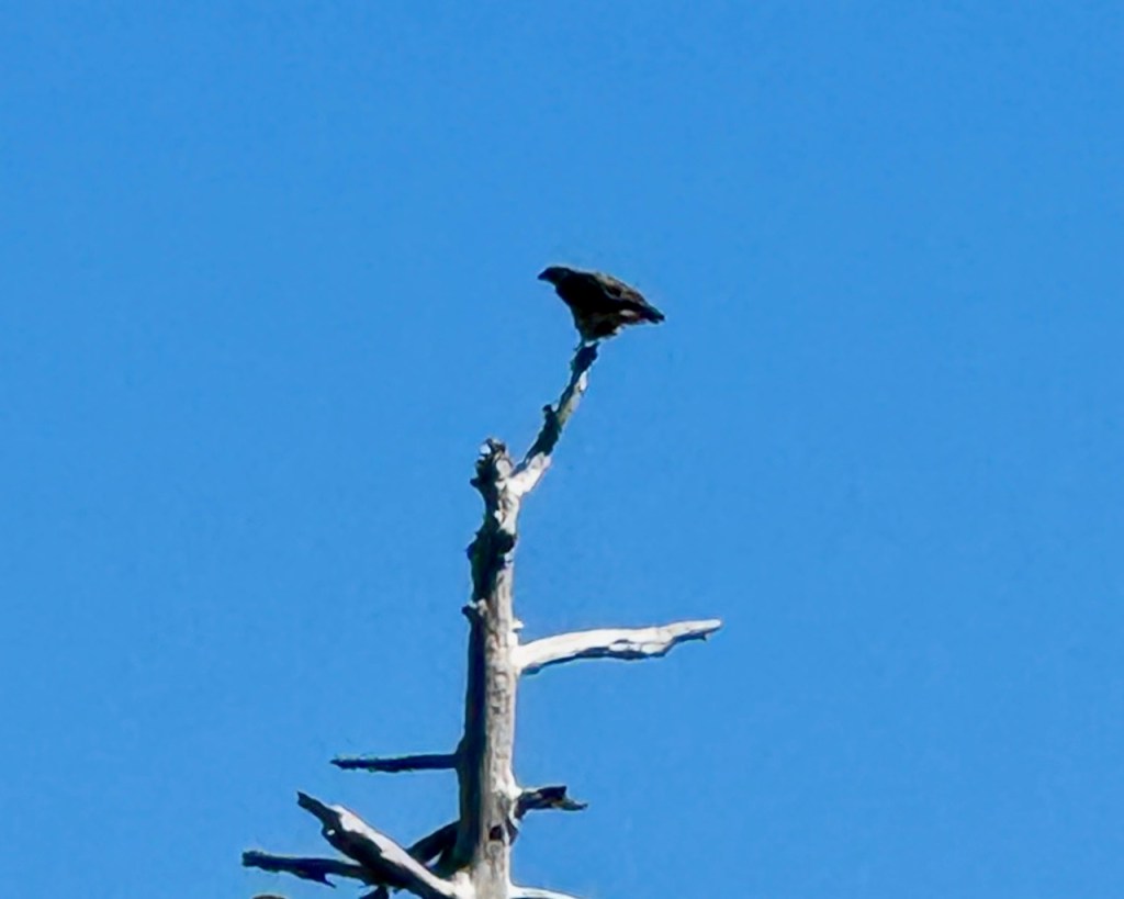
I spotted my first golden eagle, perched high atop a dead pine.

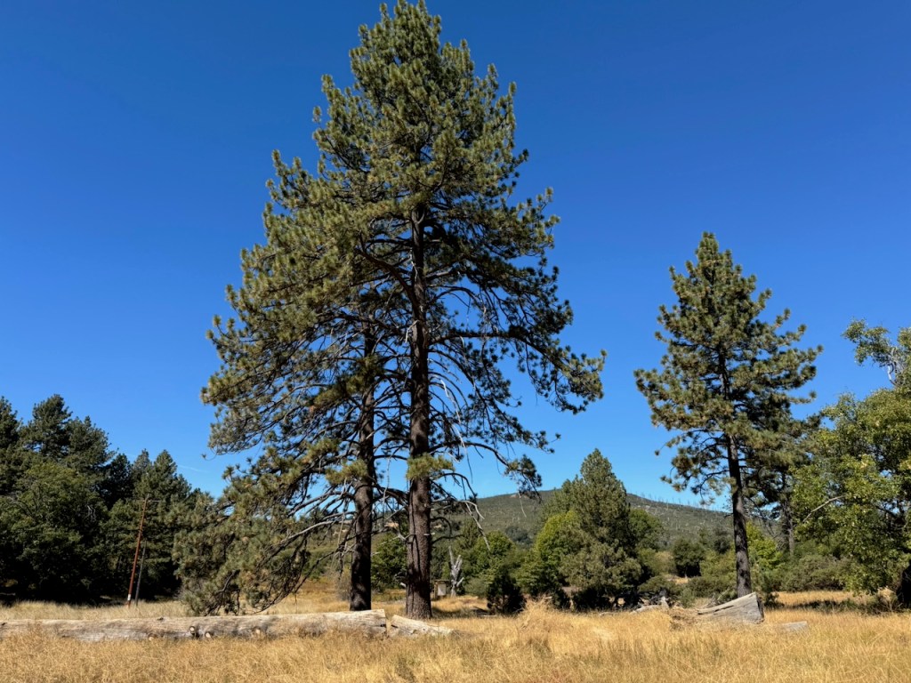
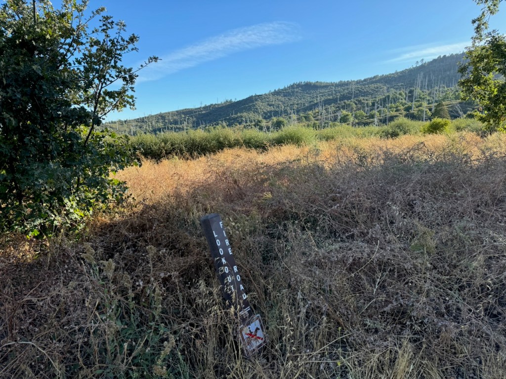
I passed through a forested section of tall oaks, sycamores, and cedars before reaching the intersection where Azalea Glen Loop meets Azalea Springs Fire Road.
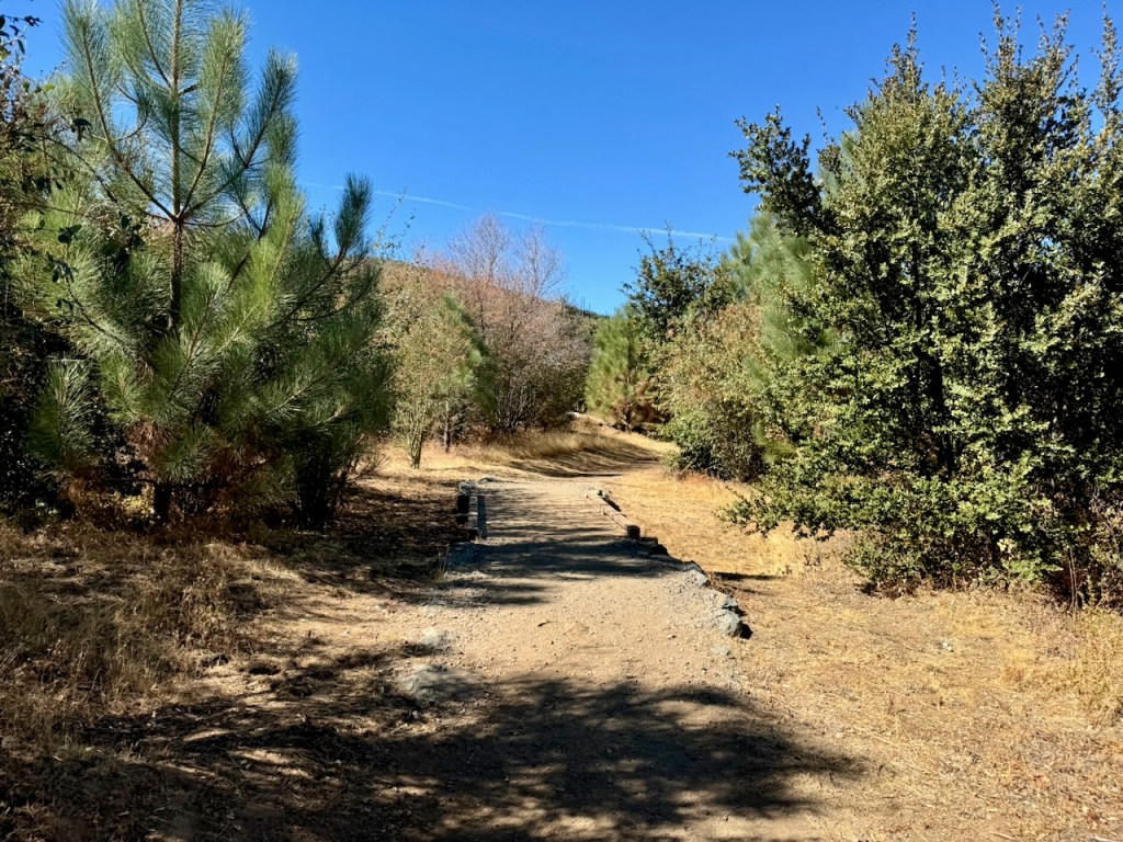
We headed right along the wide fire road for about a half a mile, before it met up with Conejos Trail.
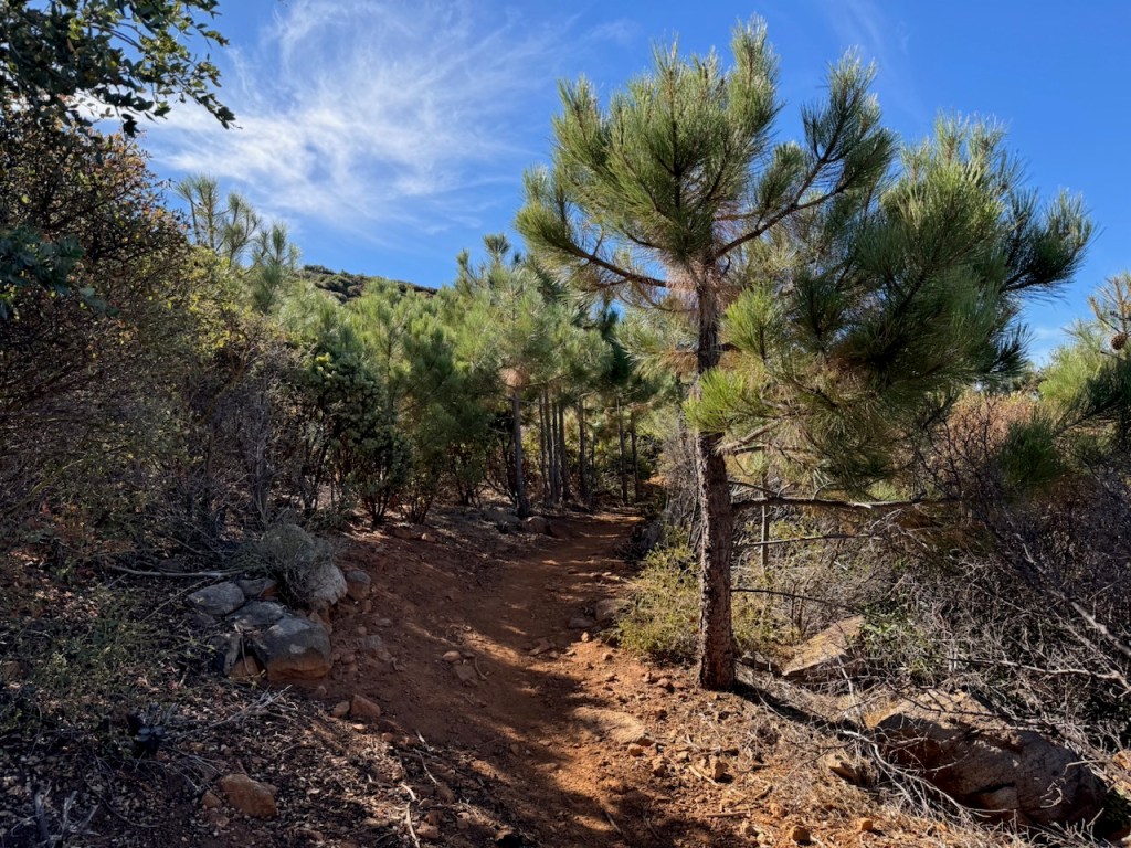
Veering off to the left, I headed up this single track on a steady uphill climb along the ridge. This trail was easy to navigate, since the overgrown brush of summer had now faded. Had I come here months earlier, that would not have been the case.
It was a steady uphill climb, and the trail took on a more reddish brown hue, from iron rich clay soil. It was very rocky along this stretch, and there were occasional scrambles, along with large boulders along the trailside.
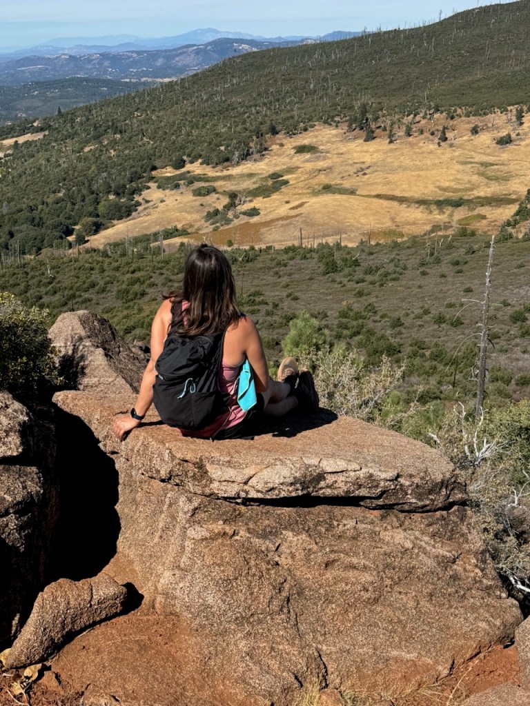
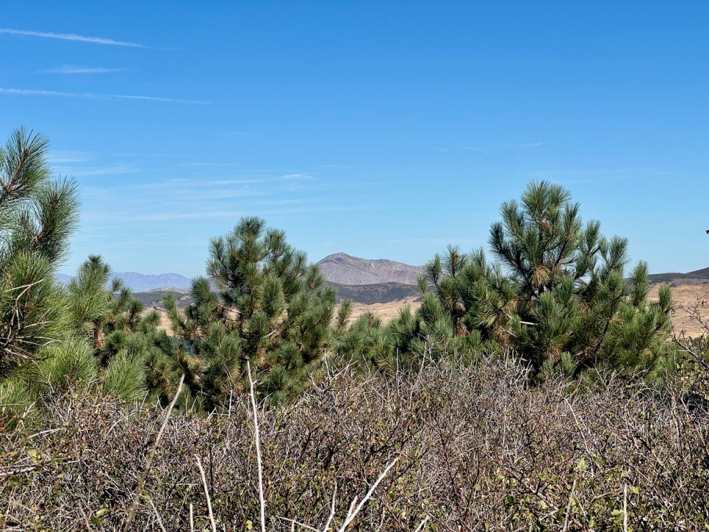
I took a break at an outcropping halfway to the summit, which overlooked the valley below.

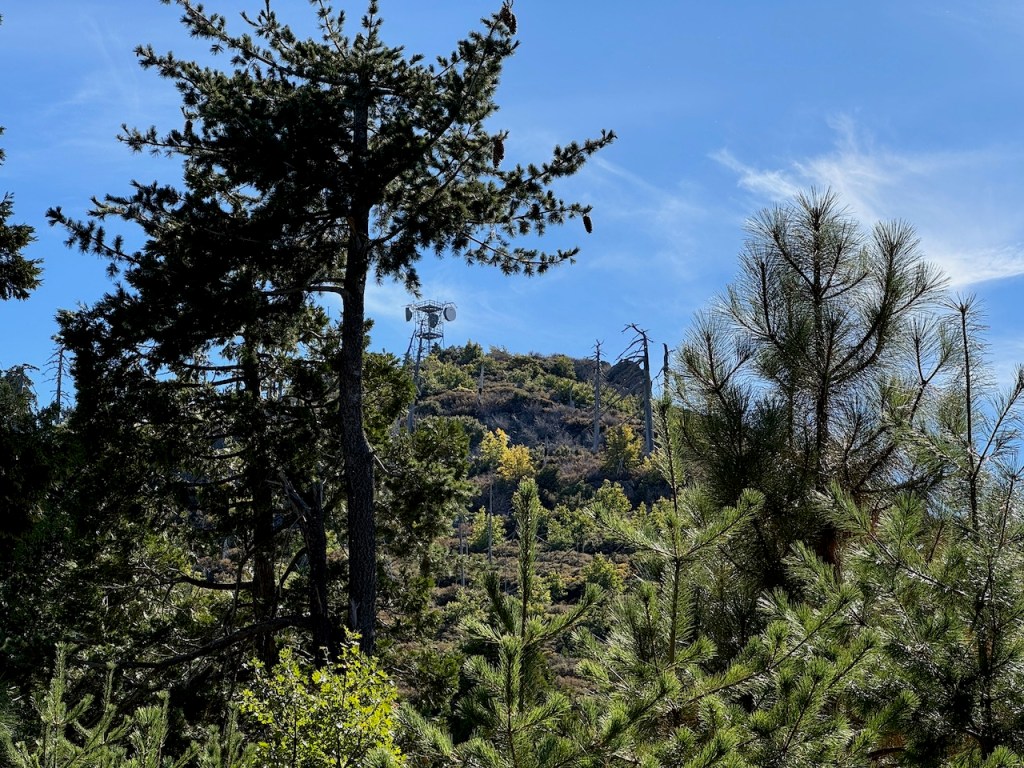
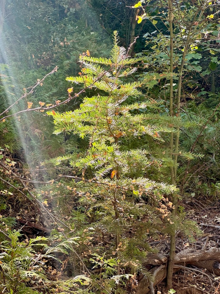
As I neared the peak, I became immersed in a sea of pines, entering a tall dense forest, and the towers of Cuyamaca Peak were on the horizon.
To reach the peak, I would trade Conejo’s Trail for a paved asphalt road, and a rather steep climb on for the last half mile.
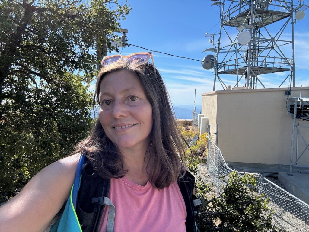
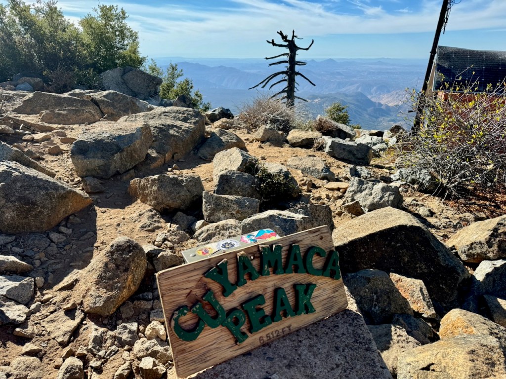
At the peak, there were cell phone towers, and small buildings. It was not clear where the peak marker was located, and so I had to search around. At first I checked by the towers, climbing a rock pile by them, remembering how at Julian’s Volcan Mountain, has its peak marker hidden within a tangled stand of oaks. There was nothing there.
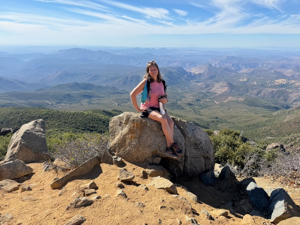
Next I continued on the road to the turnout at the end. There was an amazing view from this vantage point, and a large boulder, but alas no benchmark, or sign.
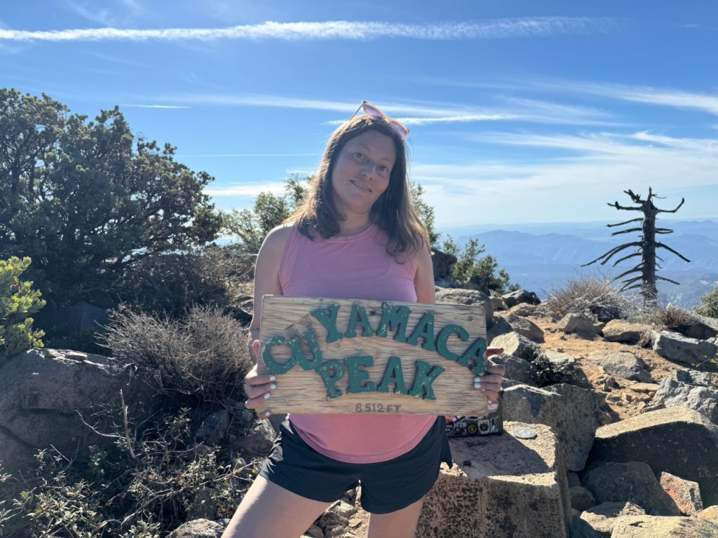
So I navigated a through a stand of low growing oaks to find the actual peak and sign, along with the trail register, and a benchmark, just to the right of the cell towers. I had finally made it to Cuyamaca Peak! Seek and you will find.
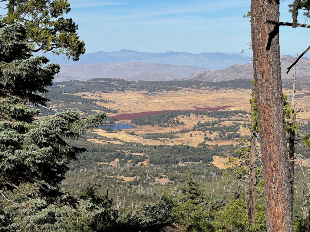
It was now time to head back, before dark, and for dinner. After four hours of hiking, we were hungry. The views on the way back were just as epic. We could see Lake Cuyamaca down below, and a reddish area by it, which we could not quite figure out.

I continued back on paved Lookout Rd. all the way back to Paso Picacho Campground, and the parking area. Along the way, I spotted a second Golden Eagle. This place is wild. Most places you can spot an eagle qualifies as wilderness. What an amazing gift, and added bonus. I had been searching for eagles for so long, and finally found one.
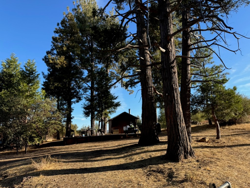
Once in the campground, I wove my way past campsites and cabins for rent back to the parking area. A group from the California Conservation Corps were on site, perhaps to maintain the trails in the park.

For whatever reason, I was never able to make it to Cuyamaca Peak, the second highest peak in San Diego until now. It’s been on my bucket list for so many years. I got to celebrate not just for my birthday, but the fact that I’m able to hike again after being injured. Hiking and exploring are what I love to do. I’m so grateful for this wonderful gift this year of being able to hike again, in the wilderness and to a peak.
Conclusion
It would end up being an 8.6 mile loop, with 1850 feet of gain and my second longest hike since June. I had to stop hiking for a while this year with an injury, but fortunately I was able to get back into it by October, my birthday month. I didn’t do this one solo as I have done on my last few birthday hikes. I was grateful my boyfriend joined me on this one. Best present ever.
Until next time Cuyamaca Peak!
Leave No Trace
Just be sure to come prepared and follow Leave No Trace principles to keep the wilderness pristine for future hikers.
Like and Subscribe to my Channel!
I hope you enjoyed reading this, and it is helpful in knowing what to expect, should you decide to visit here.
About me
I’m Serafina! I’m a writer and California girl who loves to go exploring. Hope you will get outside today, breathe some fresh air, and be happy!
Follow my Journey…
Be sure to Like and Subscribe to My Youtube Channel where I post videos!
Disclaimer: The work on this blog is my opinion and my opinion alone and I am not responsible for the outcome if someone were to apply these thoughts to their own life. All text and photography copyright 2024 by Serafina, all rights reserved. Information and opinions provided are kept current to the best of the author’s ability. All readers’ usage of the ideas and opinions presented in the blog, are at their own risk. Be aware of the possible dangers of hiking, surfing, walking, cooking, and other activities, which may take place indoors or outdoors. By reading this, you agree not to hold the author or publisher of the content on this web site responsible for any injuries or inconveniences that may result from reading the blog, or partaking in any activity mentioned in the blog. Read the blog, and use its ideas, if you so desire, at your own risk.

