About the Peak:
Distance: 8.1 miles
Time: 3.5 – 4 hours
Gain: 1,800 feet
Difficulty: Easy-moderate
Location: By Clear Creek Fire Station off Angeles Crest Highway (Sr-2)
Parking: Roadside parking, USFS pass required
Maps: GPX file here and Alltrails map here
Cell Service: Zero to 1 bars
More Information: USFA Website
Weather: Noaa – Socalsnow
Tips: A Garmin is recommended, since it’s the wilderness, and to bring your 10 Essentials.
In This Guide:
> Hiking in October
>The San Gabriels
>Naming of the Peak
>What to Expect
>Points of Interest
Hiking in October
The month of October is one of my favorite times of year to hike. I would hike up to Josephine Peak (5561 feet) in early October with my two hiking buddies. The weather was a bit on the cool side in the morning, and so it would be just about perfect temps for this hike, hovering between 50 and 70 degrees that day.
The San Gabriels
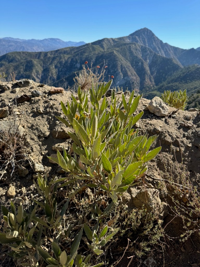
This peak is located within the San Gabriels, a National Monument and mountain range, located northeast of Los Angeles. This peak is listed within the Western Angeles Crest section of the Sierra Club’s Hundred Peak’s List. There are about 153 peaks located in this mountain range, according to the popular site, Peakbagger. This area was burned in the 2009 Station Fire and has since recovered.

Naming of the Peak
The peak was named after Josephine Lippencott (1866–1951), the wife of USGS surveyor Joseph Barlow Lippencott. He was a hydrographer for the USGS and the United States Reclamation Service, who lended a hand in the creation of the Los Angeles Aqueduct. He used this summit as a triangulation station back in 1894. Lippencott himself has his own named peak, Lippencott Mountain – Elevation 12, 265 ft, in Northern California. However, you will only find a USGS Mount Lowe marker at the summit.
What to Expect
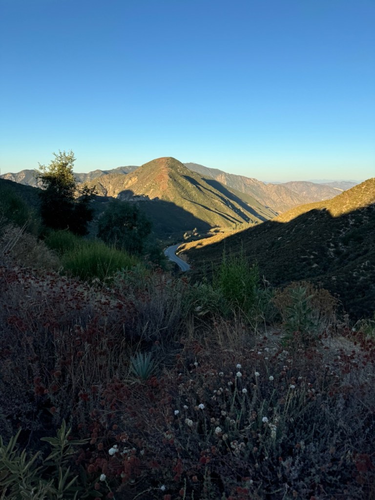
The hike would be 8.1 miles, with about 1800 feet of gain. Much of the trail is exposed to sun, so starting this hike early is a good rule of thumb. The best time to hike here is during the cooler months, from October to June. Occasionally the trail, and roads may be icy, or experience snow, so it’s best to check the weather first between December and February. The roads may be closed, or chains may be required, if there is snow in the forecast. Visit socalsnow.org, to read the mountain weather forecast.
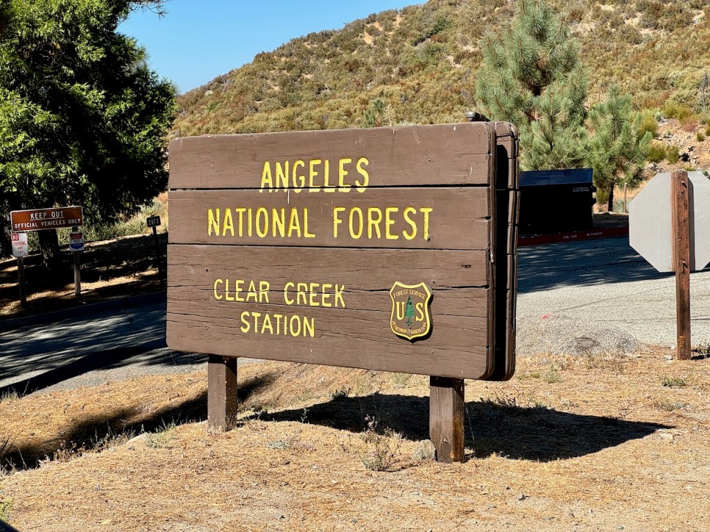
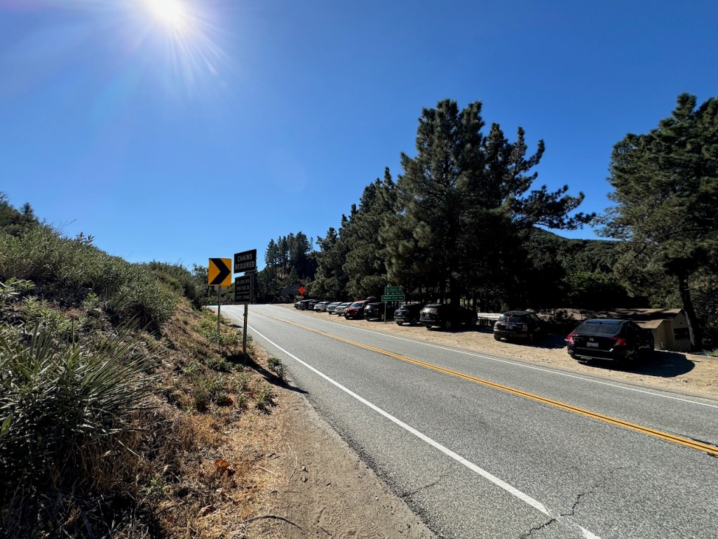
The Trailhead
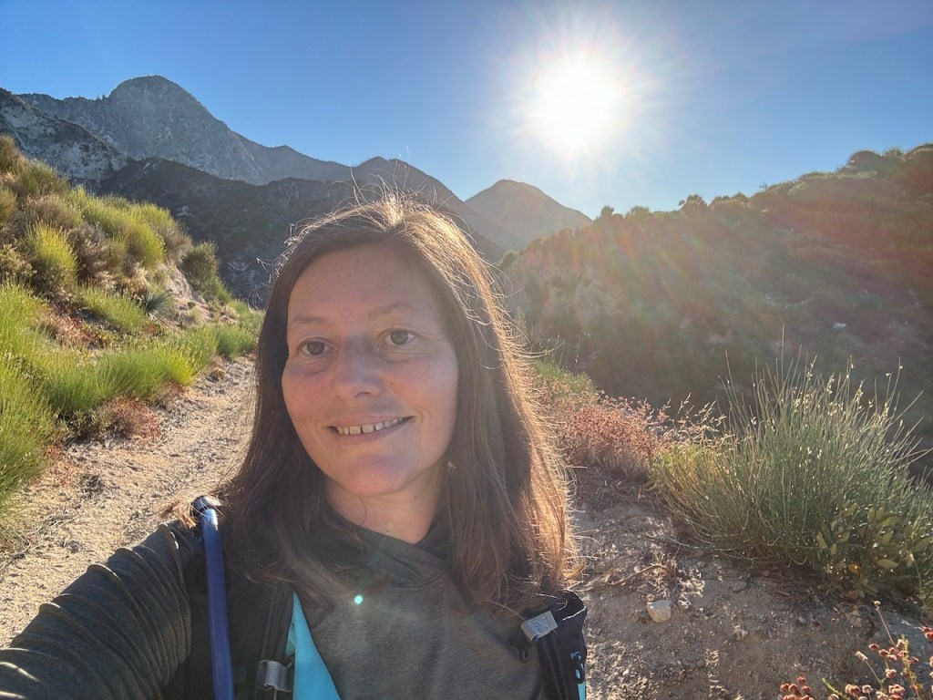
We started our hike around 7:30 am after parking in front of the Fire Station across the street from the trailhead, located just off Angeles Crest Highway (Sr- 2), which lies just north of the town of Altadena. This would be my first time hiking, to Josephine Peak, and it was a peak I had been planning to visit for a long while, so I was excited about it. Hiking with friends makes it even better.
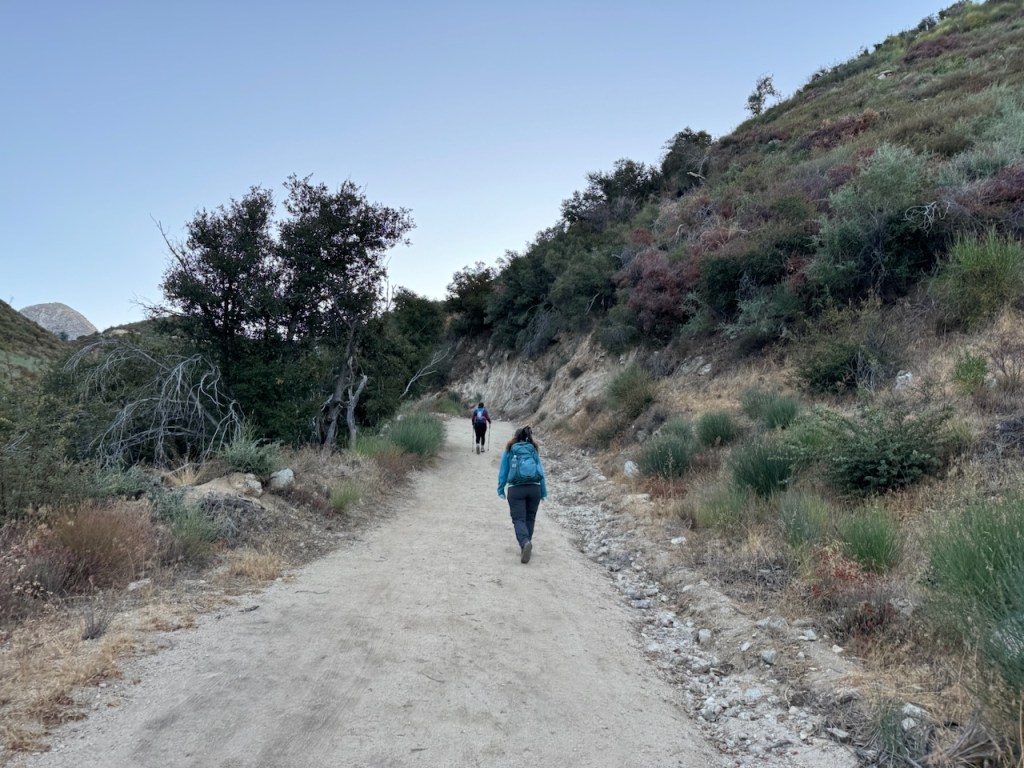
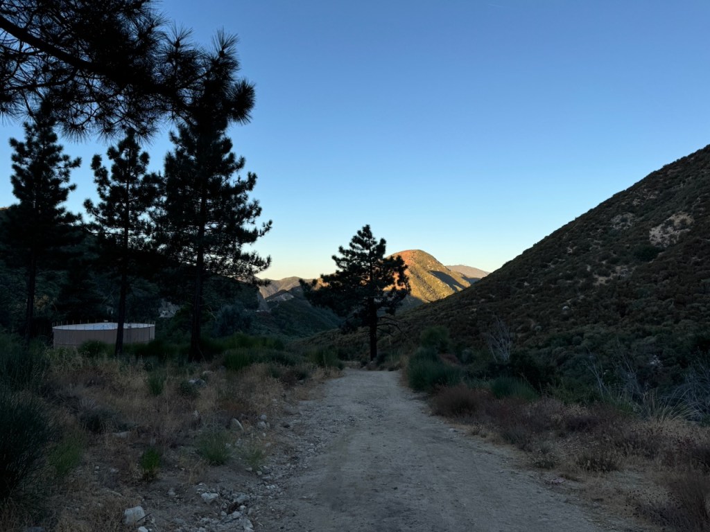
The Hike Begins
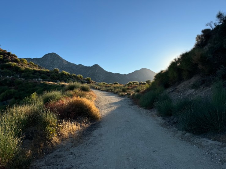
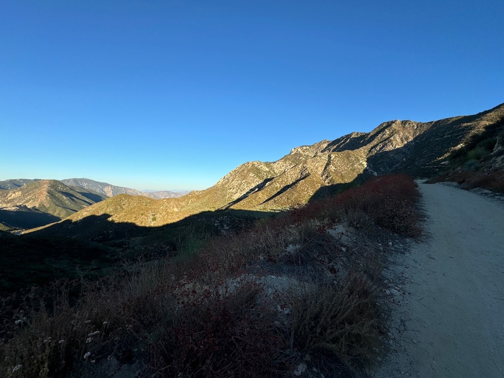
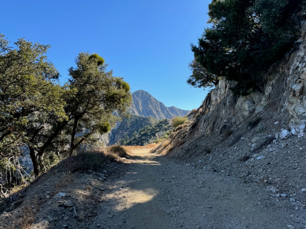
We crossed the road, and began our trek along a fire road. Much of this hike would be along this road, climbing steadily upward. I would find that the road was flat, free of rocks, and aside from the steady gain, this hike was not technical at all.
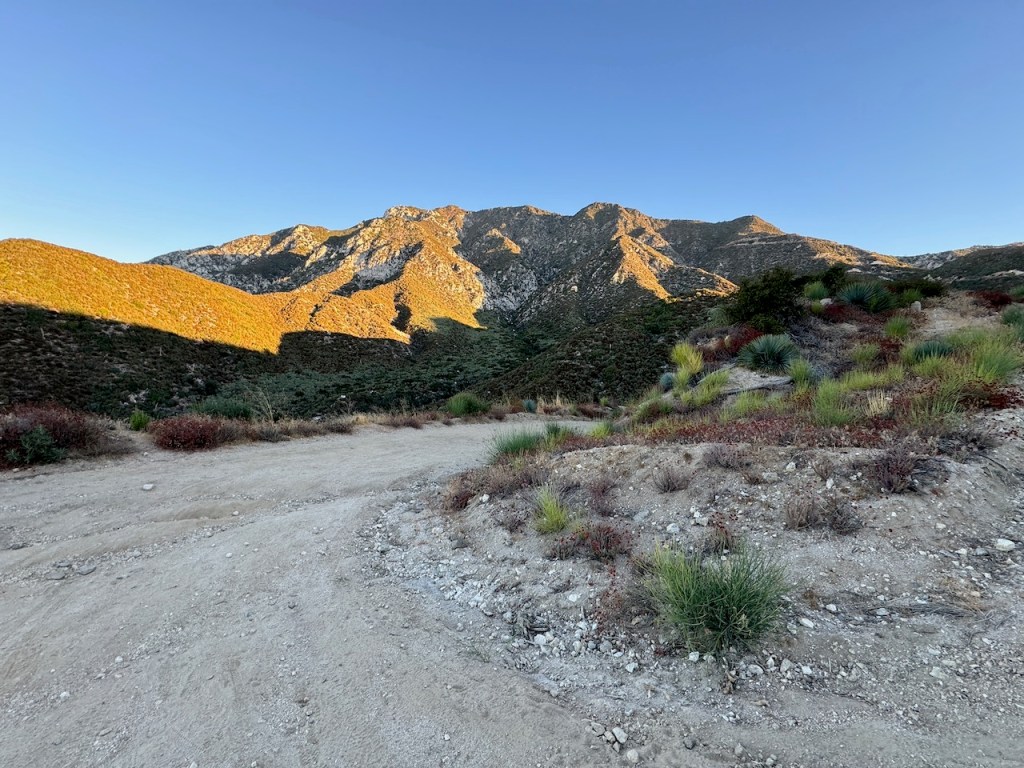
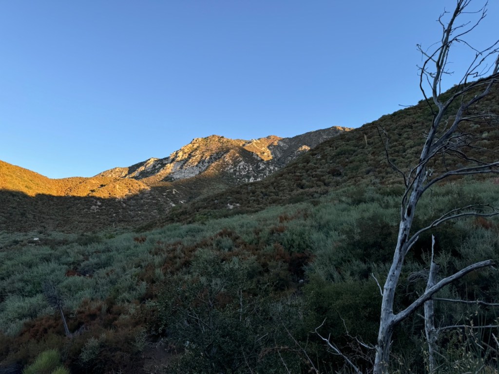
It would be one foot in front of the other, watching the sun rise, turning the adjoining peaks a beautiful red orange color, characteristic of alpine sunrises at higher altitude.
Being Prepared
Glancing back toward the fire station, it seemed like SAR was doing some sort of training practice. There was nobody else on the trail, but we had company from helicopters. Since we were at the peak of fire season in California, I knew to be ready for anything. It was comforting to know that help was close by, within earshot. We were a prepared bunch and there is safety in numbers. Going solo in the wilderness, a Garmin is an absolute must.
Sunrise
The sun peeked its way over the ridge. I was going slow and steady, but occasionally had to stop. Two female hikers passed me by while my companions were waiting for me. Still recovering from an injury, I had a few jabbing pains on the way up. I gave a disclaimer before we even started the hike, that I might not make it. I just had no idea if I would or not.
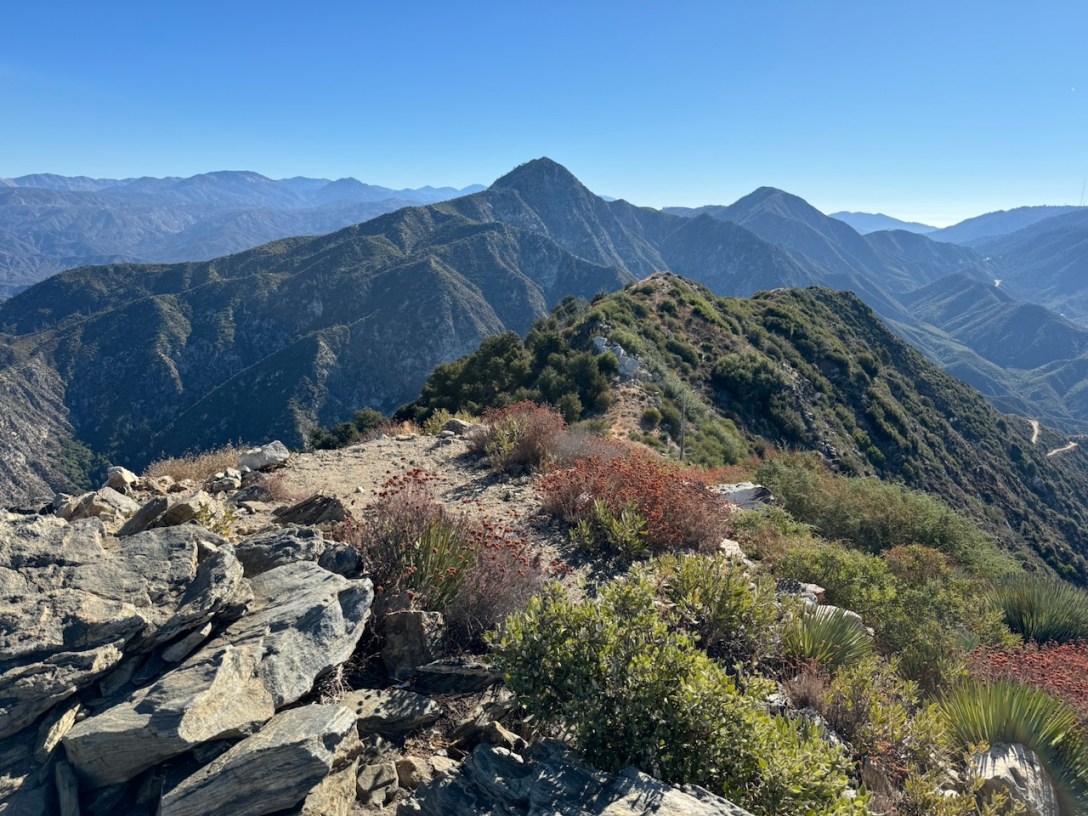
The Saddle
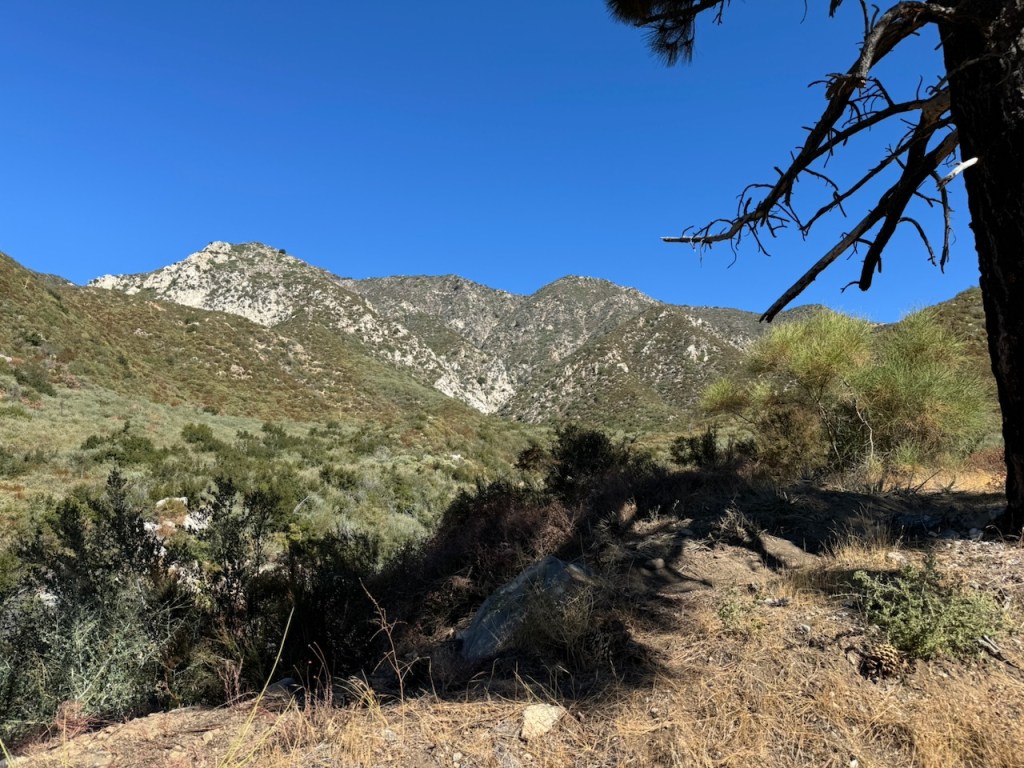
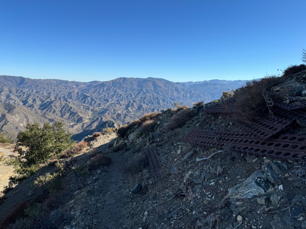
As we climbed higher we met with a saddle of sorts, and Strawberry Peak came into view. You can actually link up with Strawberry Peak from this trail. Just be on the lookout for Strawberry Spur, about halfway to the summit, 2.5 miles up, and make a sharp right.
At one point, the road seemed to slant sideways a bit, making me feel less stable in my stance, than before.

It started to get warmer and sunnier as we edged closer to the summit for the next mile or so.
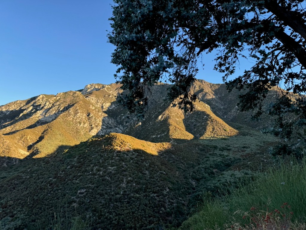
A Shade Break
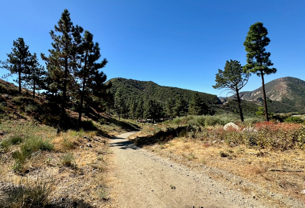
Occasionally we would pass a shady oak tree, but the trail remained mostly exposed until we rounded a bend.

We came to a forested area, perfect for taking a break. So we stopped briefly here, since we were not sure there would be another spot just like it.

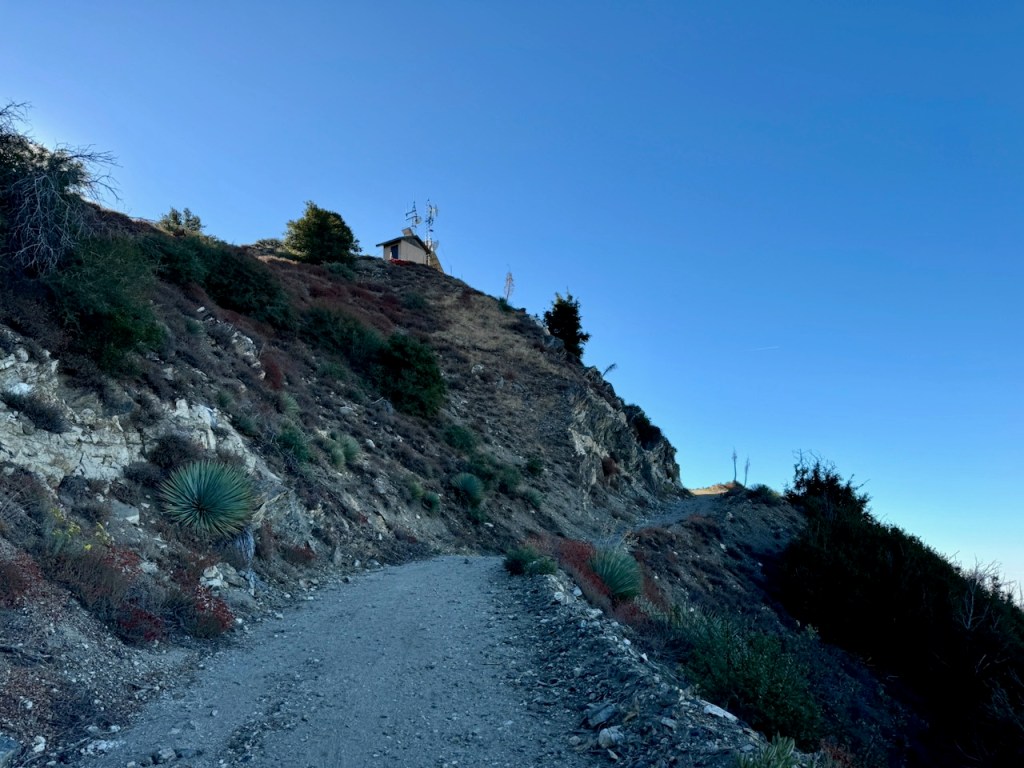
The Final Ascent
Along the last stretch after passing the helipad, the peak was now in our sights. The last .10 of a mile briefly became a single-track instead of fire road.

The steepest part of the trail, was the last 20 feet of climbing, before the peak, where I had to watch my step on some short switchbacks.
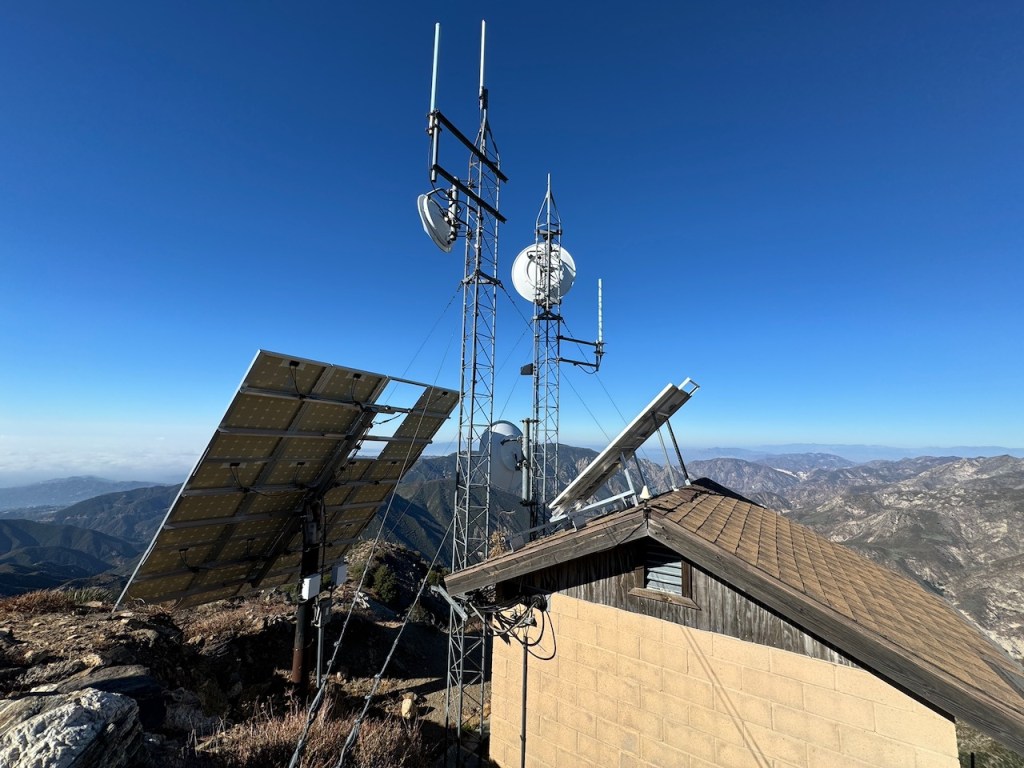
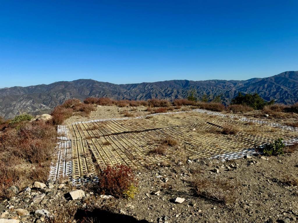
There were various antennas atop the peak, and a small building, next to a group of concrete footings. The peak had a small bookshelf placed there (not sure why), where I found the peak sign and register.
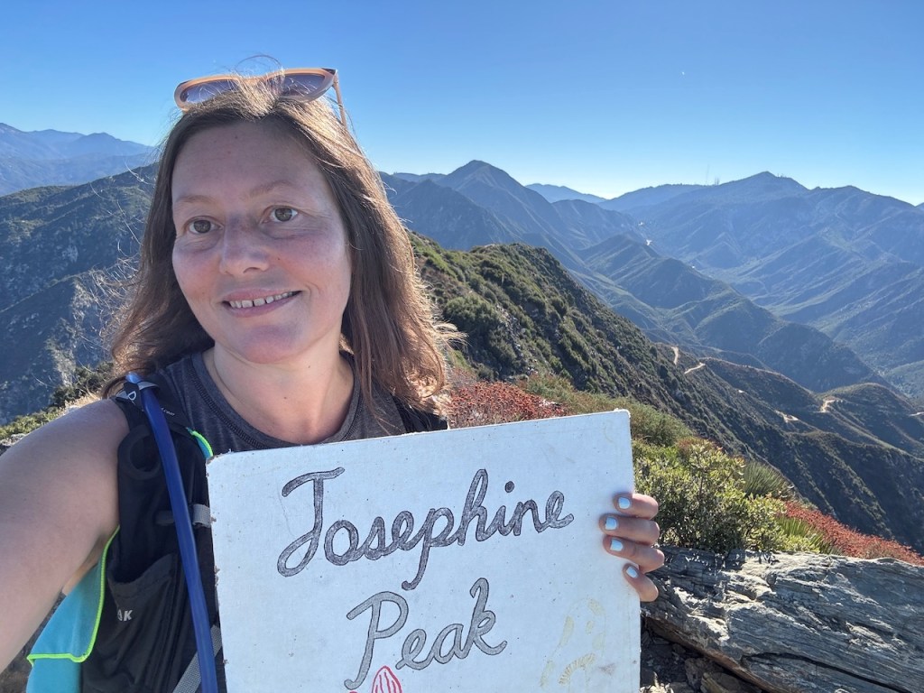
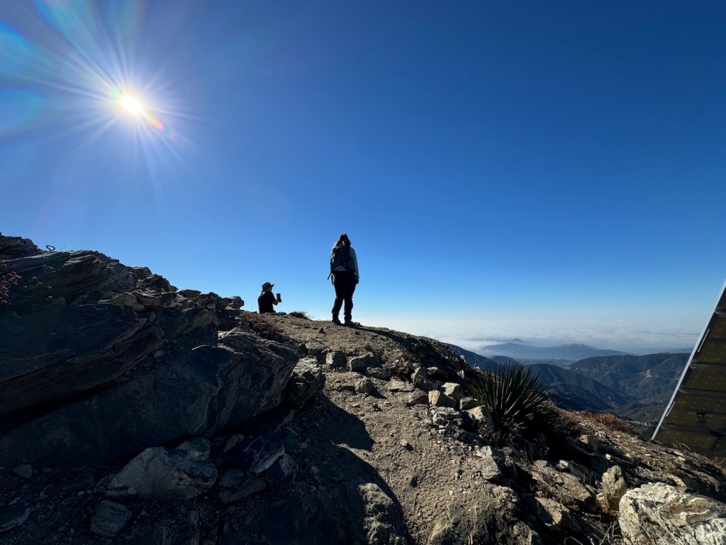
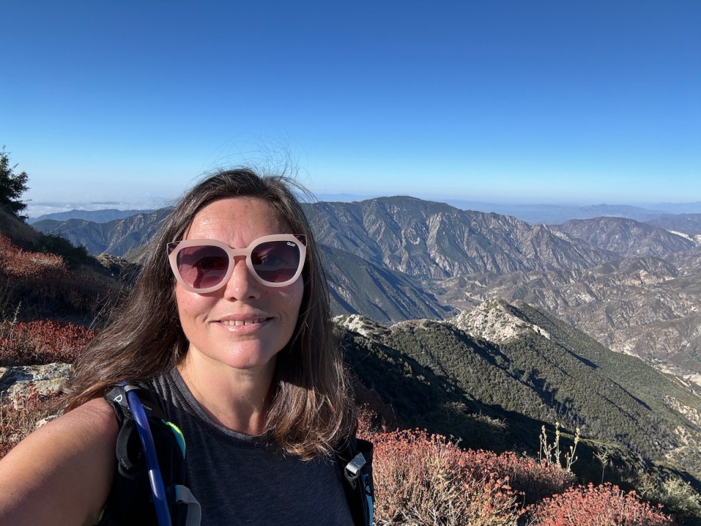
The Peak
I had made it to Josephine Peak! At one point this peak had a fire lookout, from 1935-1975. It was demolished after a fire. You will notice the concrete footings, which are all that remains of the fire tower.

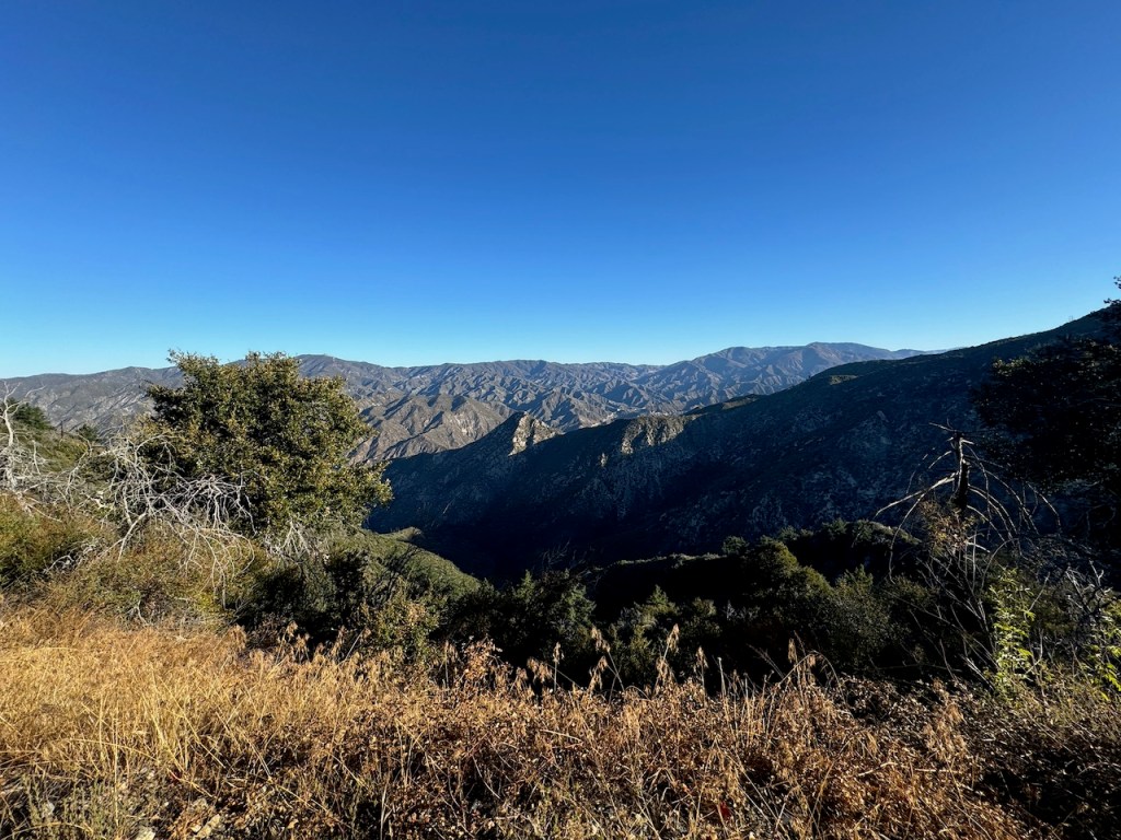
360 Degree Views
From the peak you get to enjoy sweeping 360 degree views of surrounding mountains from Mount Lukens to the west, all the way to Mount Wilson to the east. I easily spot Condor Peak, Pacifico Mountain, Strawberry Peak, Mount Lawlor, and San Gabriel Peaks.
Fun Fact: There is no USGS marker at the peak naming Josephine Peak, but there was one labeled Mt Lowe.
We hiked back the way we came, and as always, it took about half as long to descend with a total of 2.5 hours to the peak, and a mere 1.5 hours to back to the car.
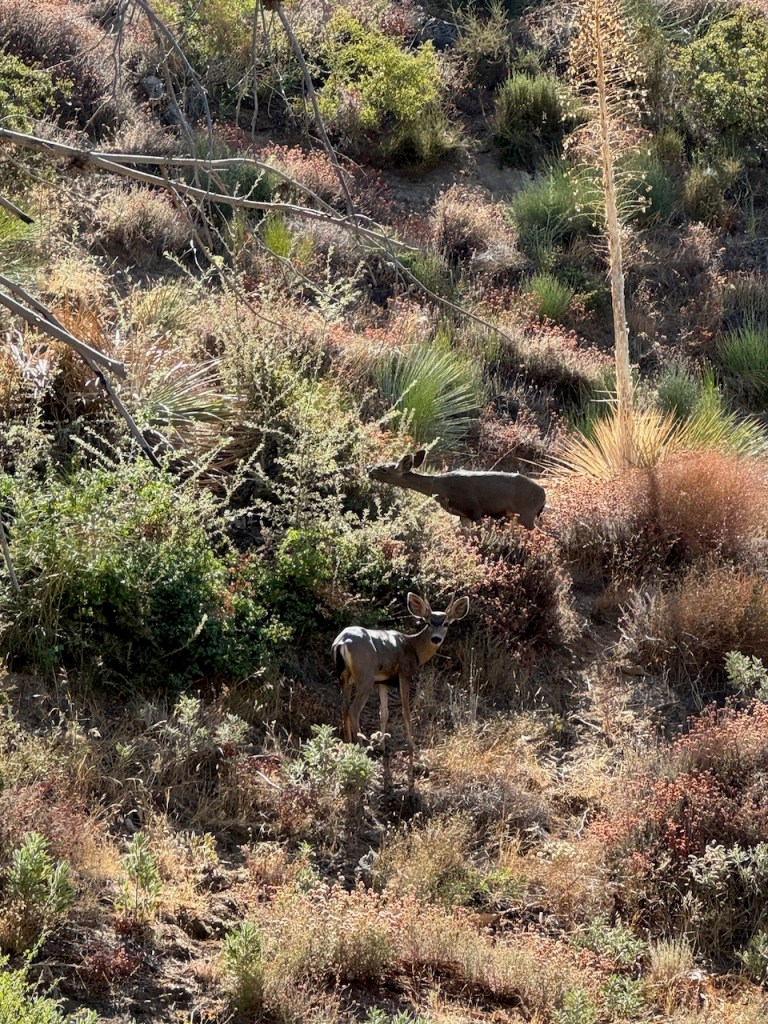
About a .25 mile from the trailhead, we spotted a family of deer having a snack.
Conclusion
This would be the first peak I had made it to in over three months. I had been slowly healing from an injury, and still not able to drive myself far as this. My hiking buddies made this one possible.

This hike gave me the confidence I needed, to rest knowing my injury was not going to stop me from enjoying hiking, and climbing mountains any longer.
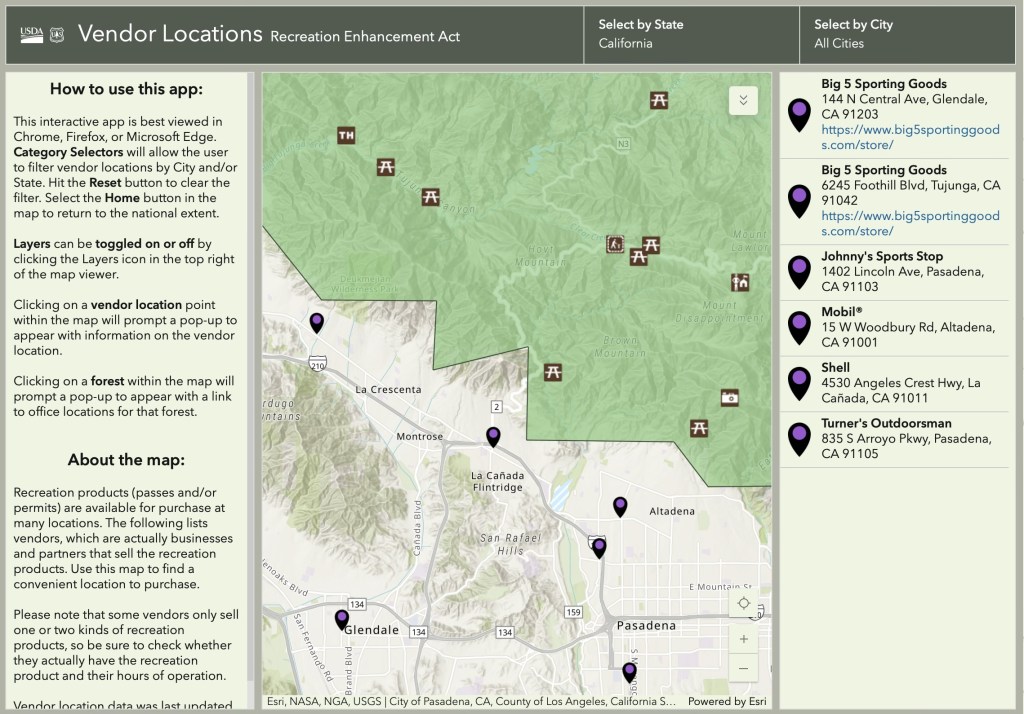
Get Your Adventure Pass
Forgot your Adventure Pass? There is no need to pay a fine since, the closest place to purchase one near this trailhead is at:
Shell 4530 Angeles Crest Hwy, La Cañada Flintridge, CA 91011
Believe it or not, Adventure Passes are widely available at a variety of familiar and easy to find convenience stores, gas stations, and outdoor goods stores. You can find them at select Arco, Shell, Chevron, Mobil, Turner’s Outdoors, Big 5, 7-Eleven, and of course REI stores. Click here to find more locations.
Leave No Trace
Just be sure to come prepared and follow Leave No Trace principles to keep the wilderness pristine for future hikers.
Like and Subscribe to my Channel!
I hope you enjoyed reading this, and it is helpful in knowing what to expect, should you decide to visit here.
About me
I’m Serafina! I’m a writer and California girl who loves to go exploring. Hope you will get outside today, breathe some fresh air, and be happy!
Follow my Journey…
Be sure to Like and Subscribe to My Youtube Channel where I post videos!
Disclaimer: The work on this blog is my opinion and my opinion alone and I am not responsible for the outcome if someone were to apply these thoughts to their own life. All text and photography copyright 2023 by Serafina, all rights reserved. Information and opinions provided are kept current to the best of the author’s ability. All readers’ usage of the ideas and opinions presented in the blog, are at their own risk. Be aware of the possible dangers of hiking, surfing, walking, cooking, and other activities, which may take place indoors or outdoors. By reading this, you agree not to hold the author or publisher of the content on this web site responsible for any injuries or inconveniences that may result from reading the blog, or partaking in any activity mentioned in the blog. Read the blog, and use its ideas, if you so desire, at your own risk.
