
I decided to do a bit of hiking and trail running around the Crystal Cover Perimeter loop. This is a trail I have come back to again and again, regularly for years. I love Crystal Cover since there are so many different routes to choose from.

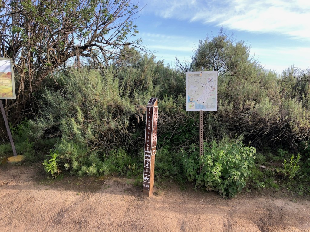
Today I was feeling like starting at El Moro Canyon, heading up Poles to No Dogs, taking it all the way to the ridge at Bommer, and descending along Moro Ridge.
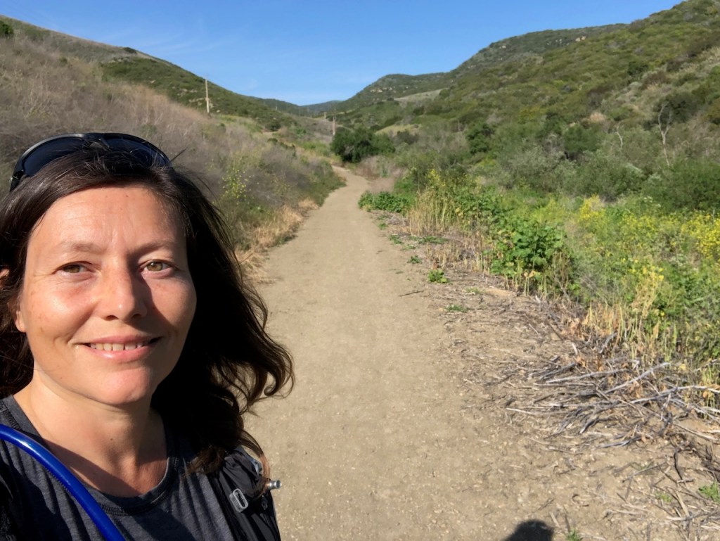
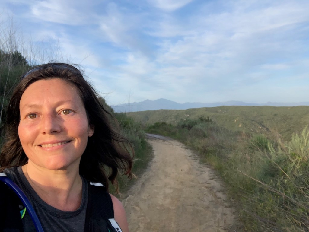
I started around 4:30pm, on a sunny and cool April afternoon. Being a Sunday, the park was fairly crowded. Driving through Laguna Beach on the way here, the town had tons of traffic. It felt like the first sunny weekend day we have had in some time, with all the recent rains.
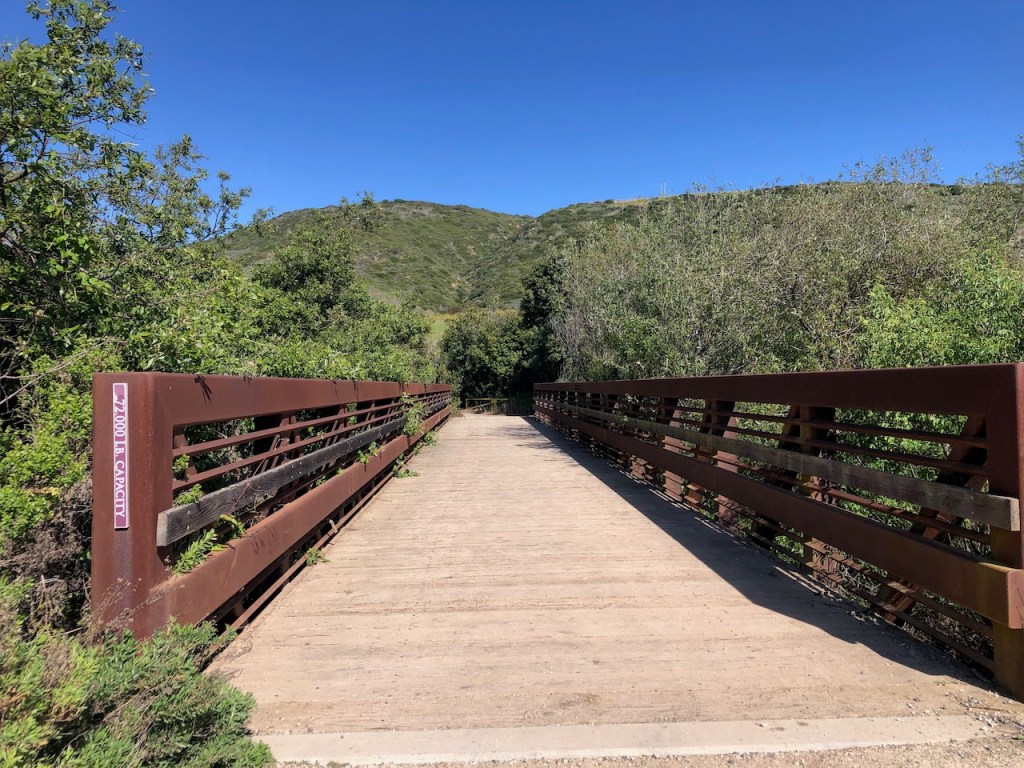
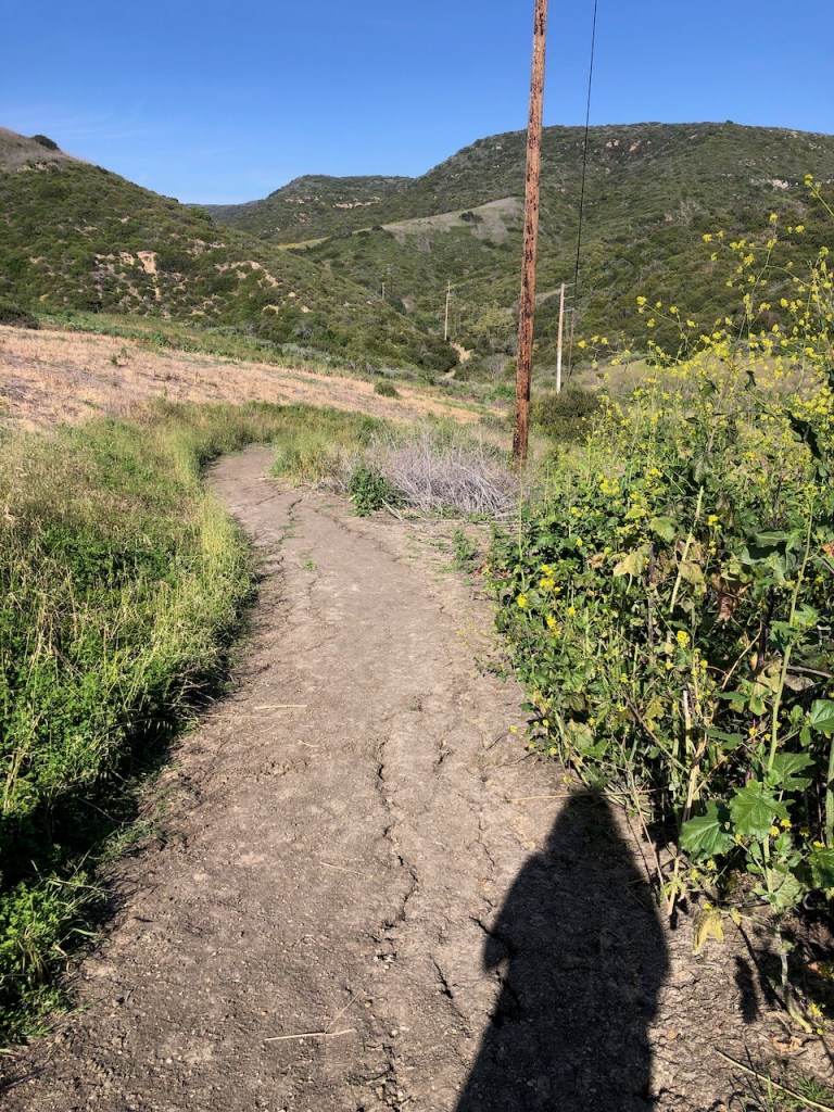
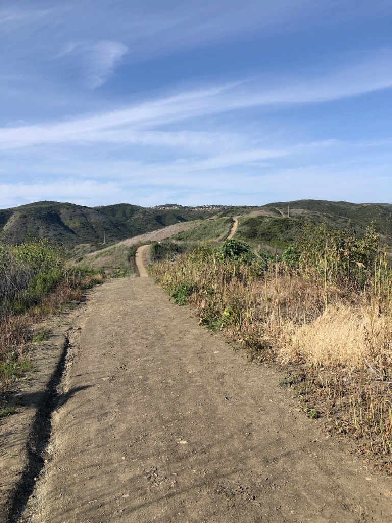
As I hiked along El Moro Canyon, I crossed over the rusty iron bridge, and past BFI, a super steep yet overgrown looking option for reaching the ridge.
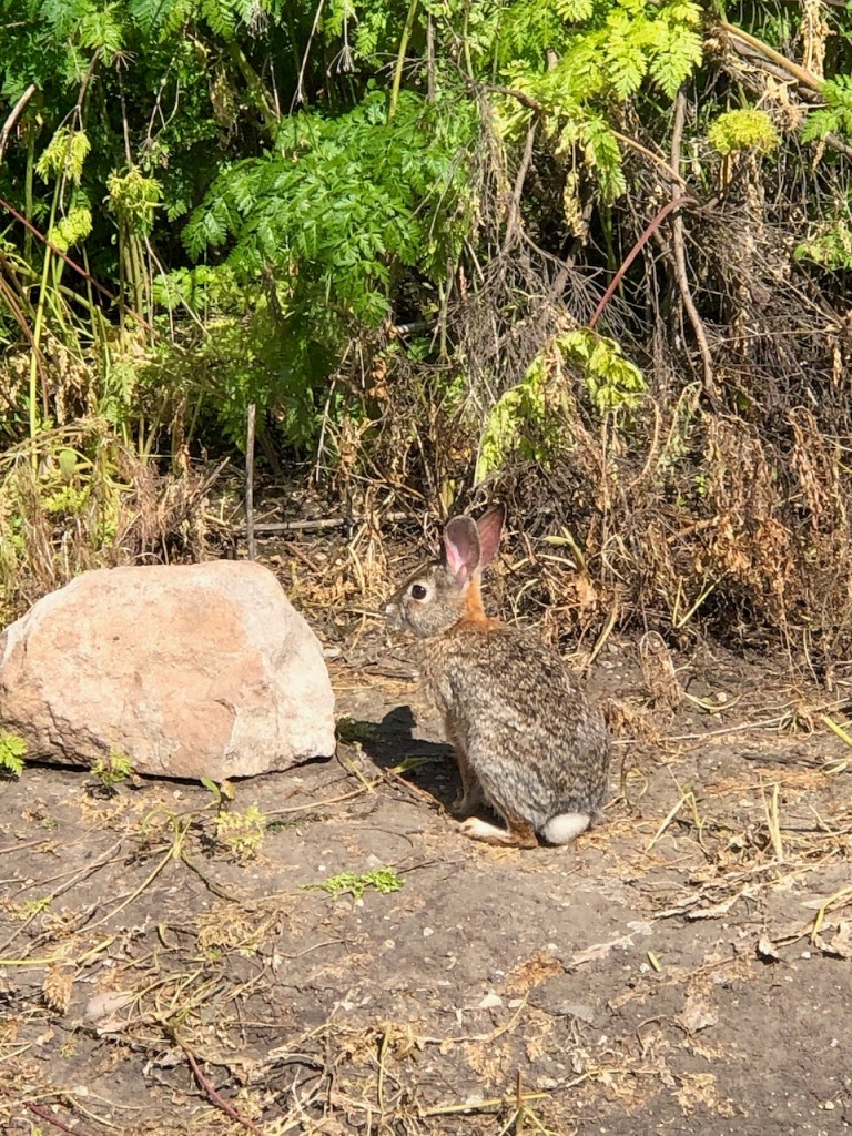
I was greeted by a bunny, standing by the sign. This was actually a sign of things to come, as I would see more bunnies today than I have ever seen before on a hike anywhere.
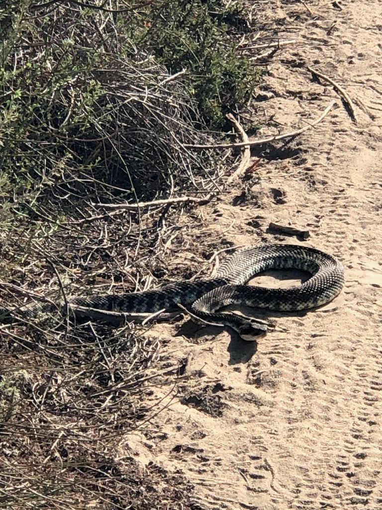
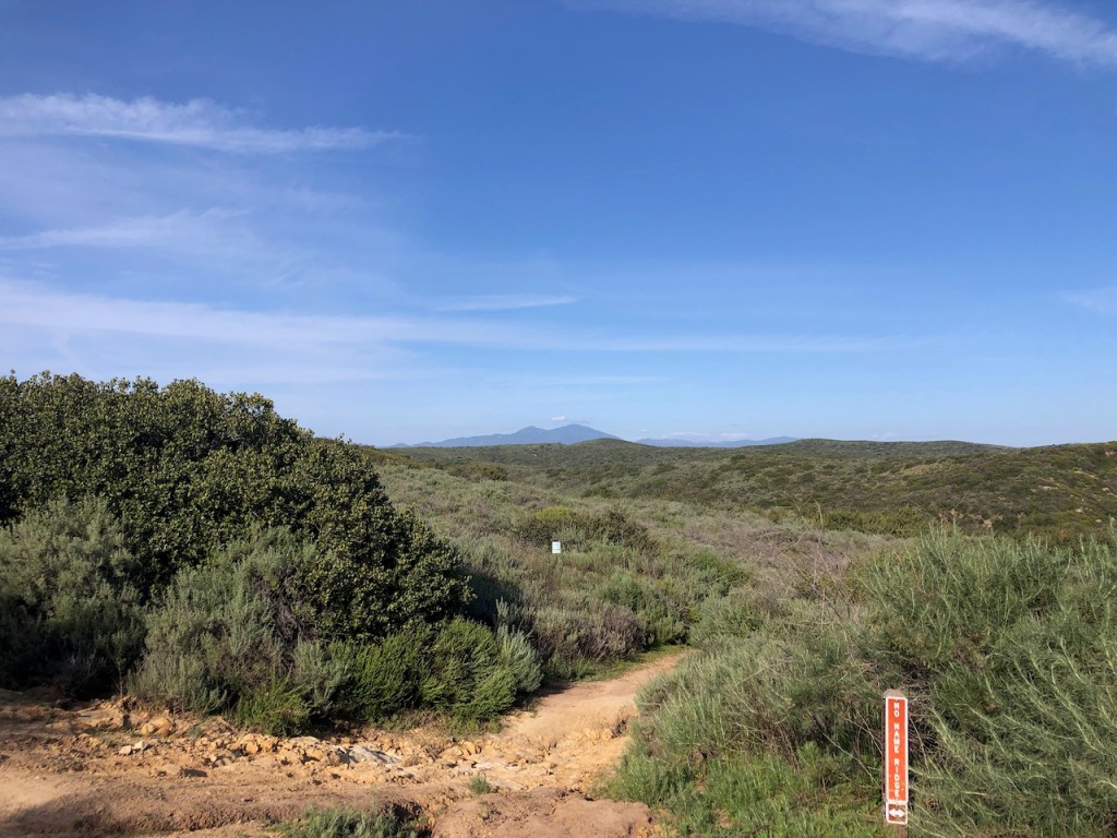
Being that spring is in full swing, and Crystal Cove is a literal snake pit, I chose to hike on, along the wider, more maintained trails. I have seen more snakes in this park than anywhere else in Orange County.
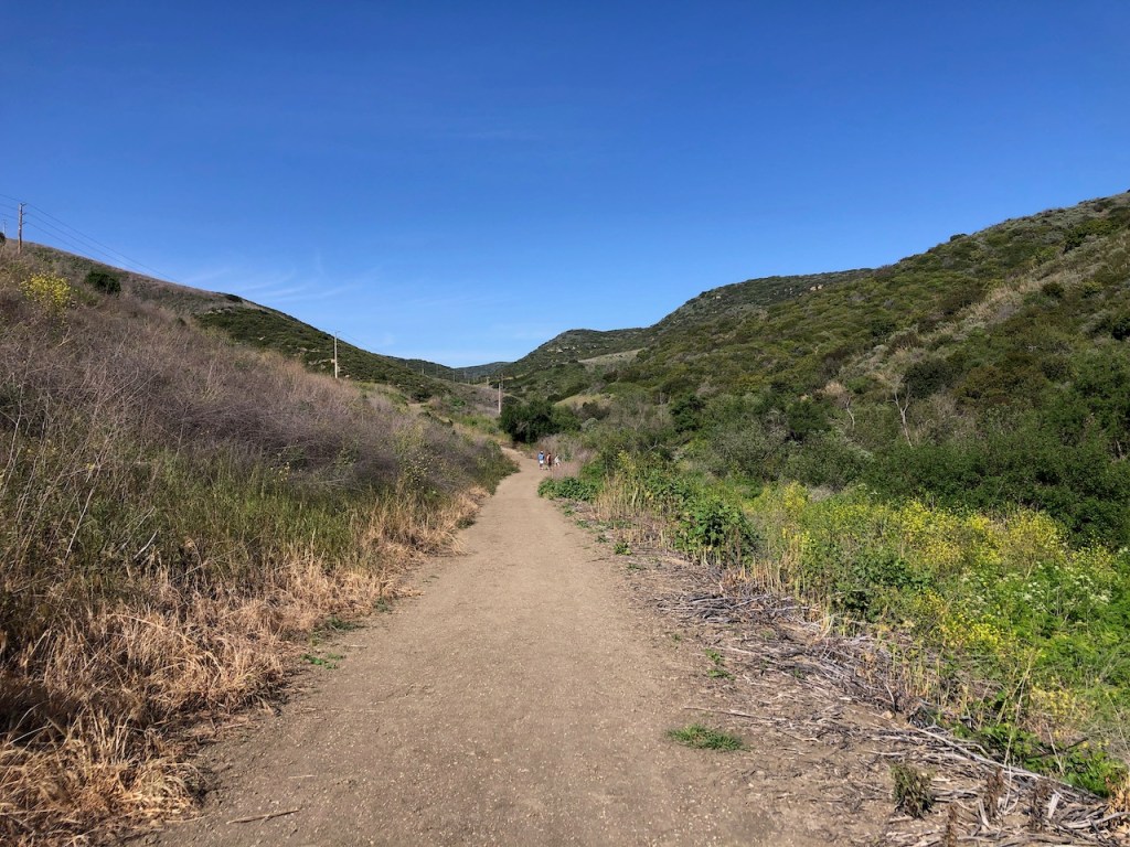
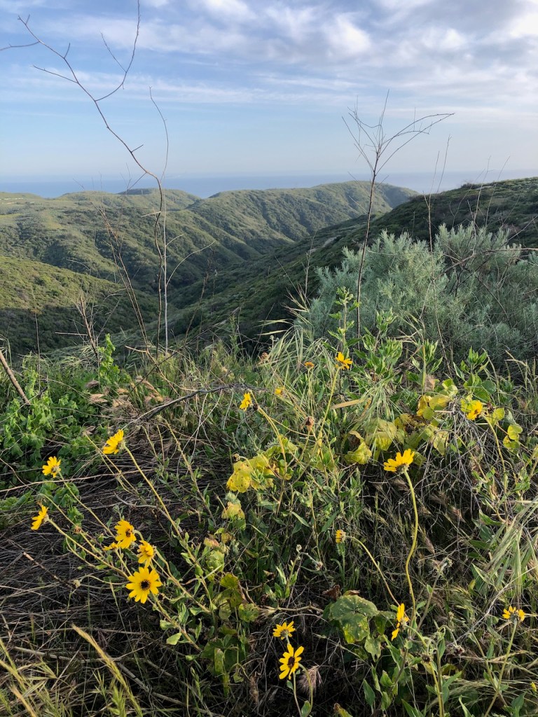
As I hiked along, it was evident that a super bloom would not happen this year. Even the mustard, a wild invasive plant, was struggling to take hold.
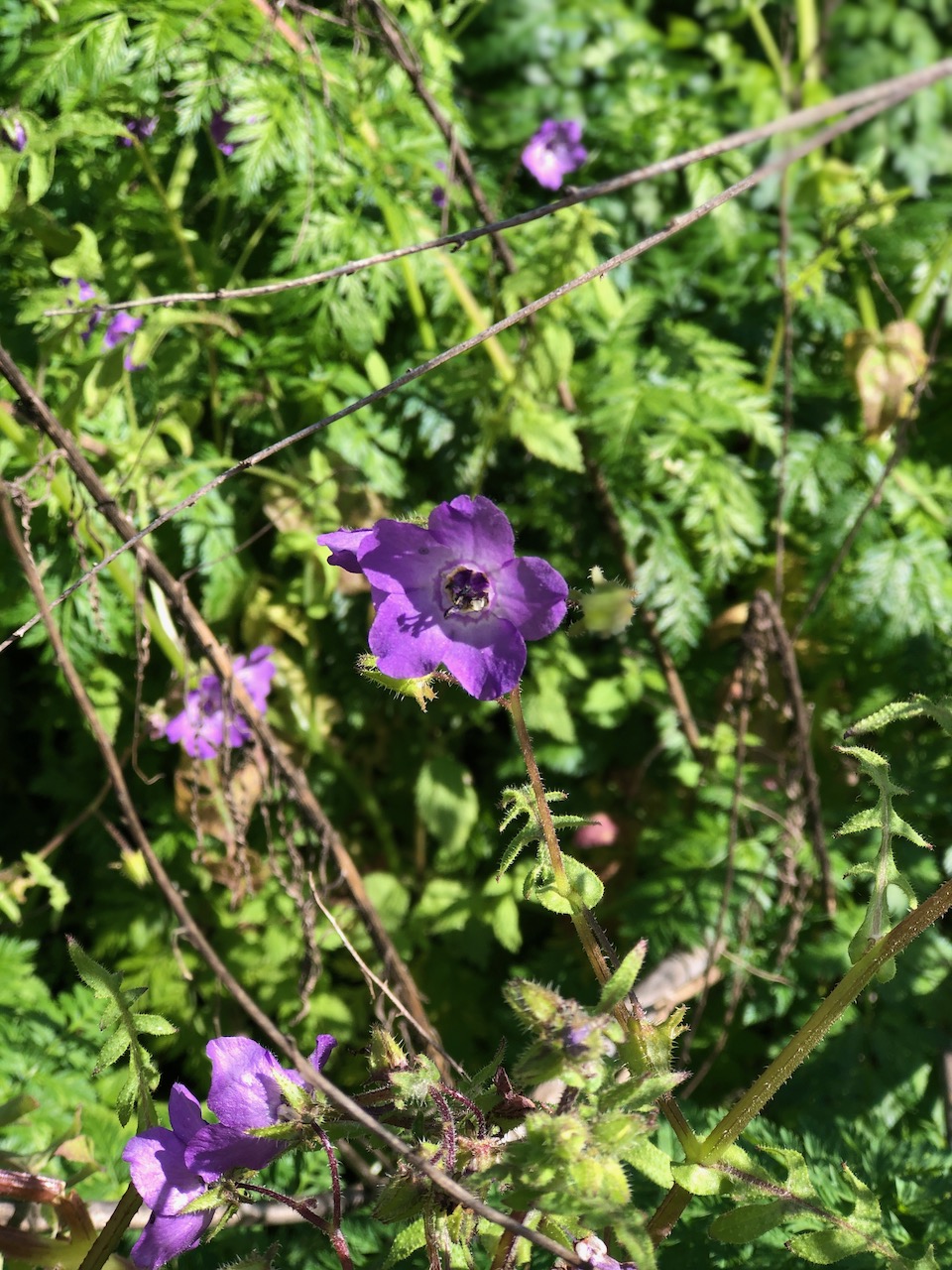
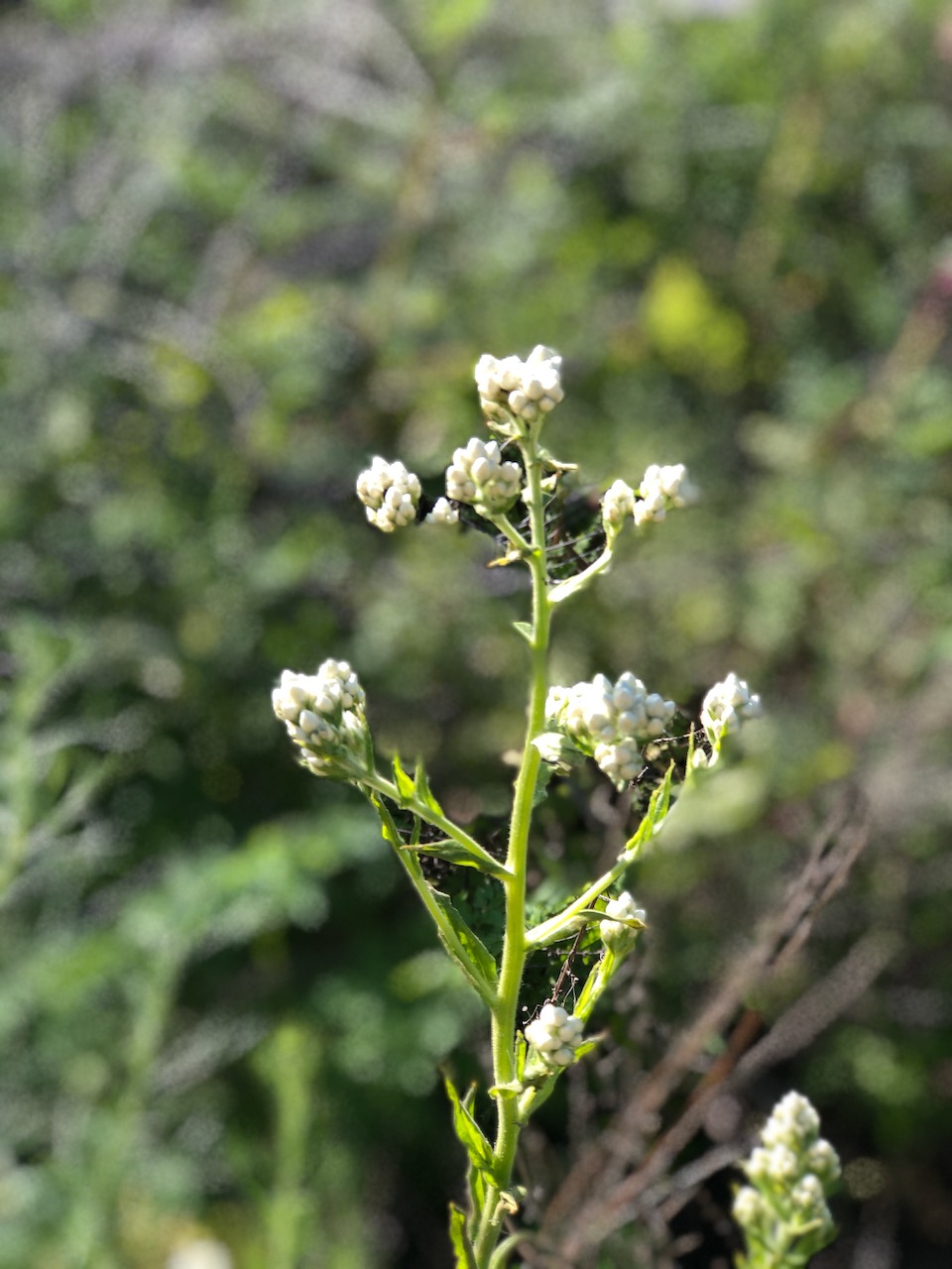
There were just a few wildflowers here and there. The new spring growth, looked to already be waning.
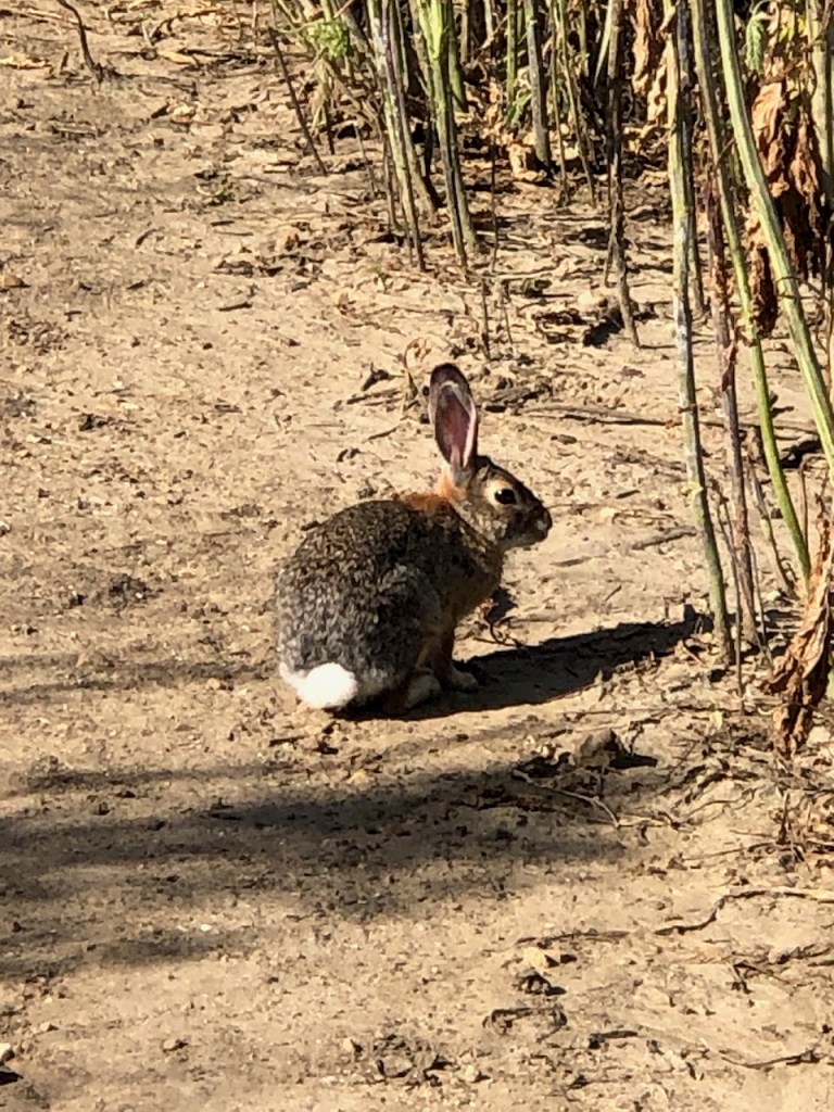
There were more and more bunnies. I could hear the sound of water flowing, and sure enough the creek was flowing. In fact it was flowing over the trail at one point, something I don’t usually see in drier years. It’s been a wet and cool winter and spring so far. Bunnies must like this weather.
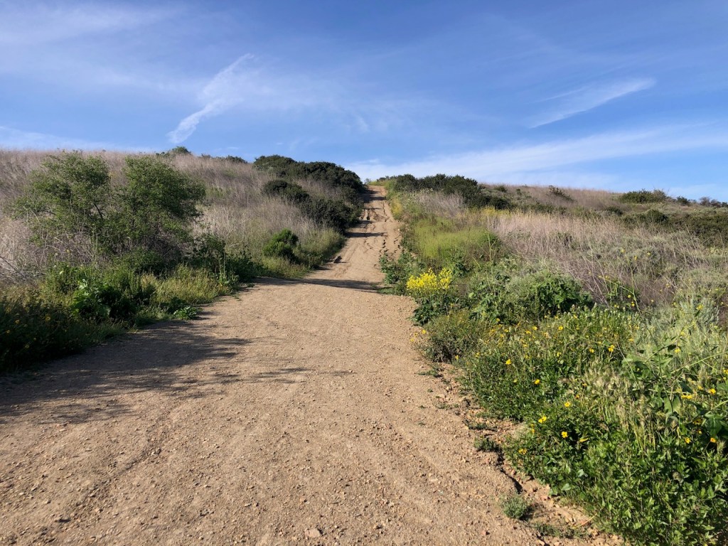
I reached Poles, and did a bit of thinking about whether or not I wanted to hike up it with the sun blasting straight into my face, due to the time of day. I decided, that yes, I wanted to get the best workout possible. Poles is one of the best hills to train on in Orange County, along with Pipeline Trail, Dreaded Hill, Bell Peak, and Bedford Peak. I love mountains, so I look to these hills to get in an uphill athlete style workout.
As I continued uphill, I noticed the mustard was extremely tall here, and threatening to close in, overgowing the trail. I was careful with each step, looking for any signs of rattlesnakes, potentially sunning themselves, or laying still in the shadows of the mustard.
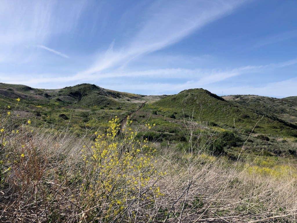
Off to my right, were hills of green, and the many interesting rock outcroppings of the canyon.

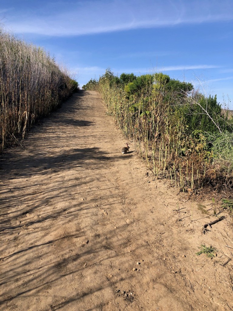
I continued straight onto No Dogs. It was definitely not called No Rabbits.
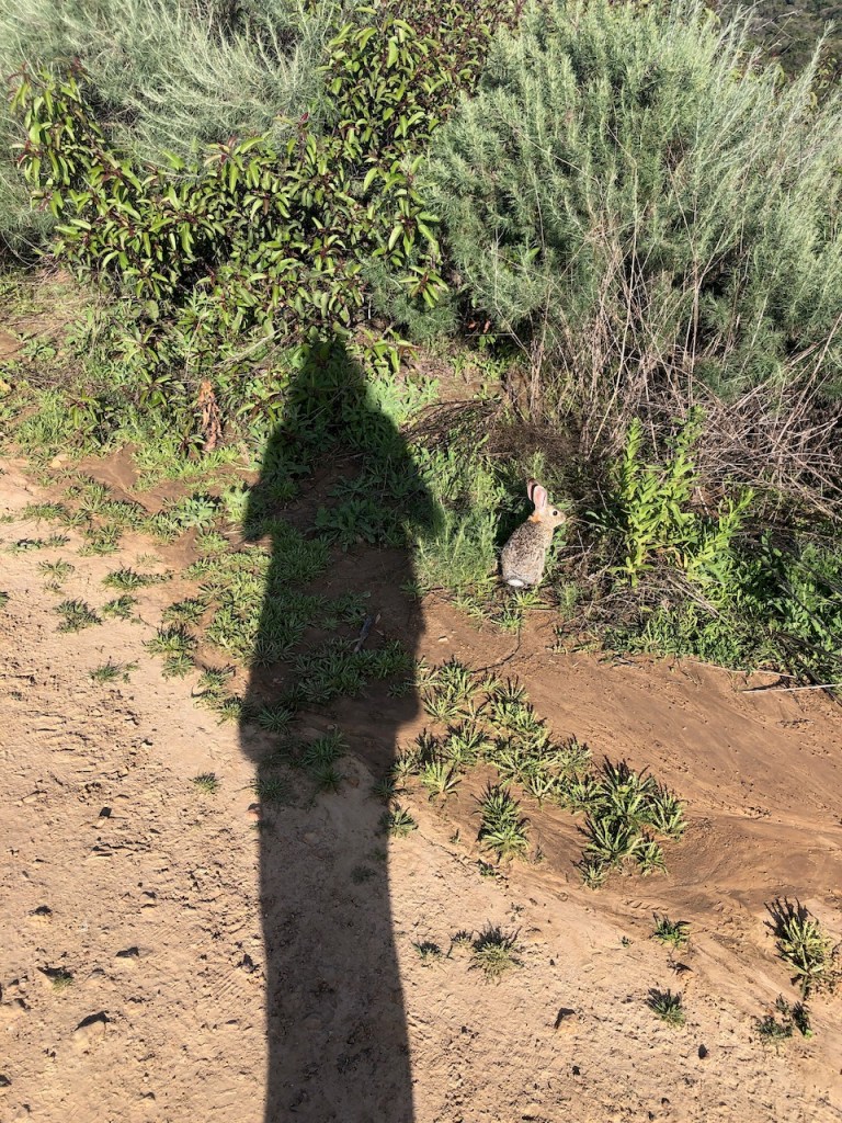
There was a bunny bonanza going on. About every minute or so I came across a bunny, and they were not shy.
No dogs is a pretty steep trail, and another butt kicker of a hike. As I was heading up, a police vehicle whizzed by me lights blazing. This was the first time I had seen a vehicle on the trail here.
As I was making my way to the top, the trail became busier with more hikers, as some will hike down from Ridge Top Park, versus up from Crystal Cove.
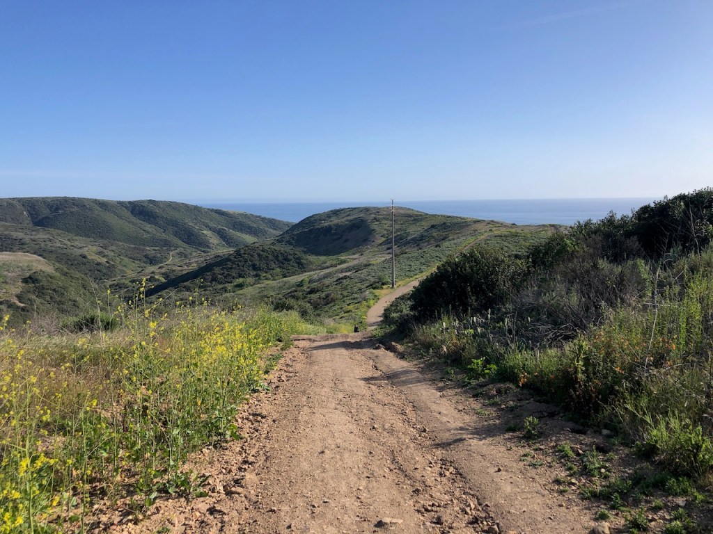
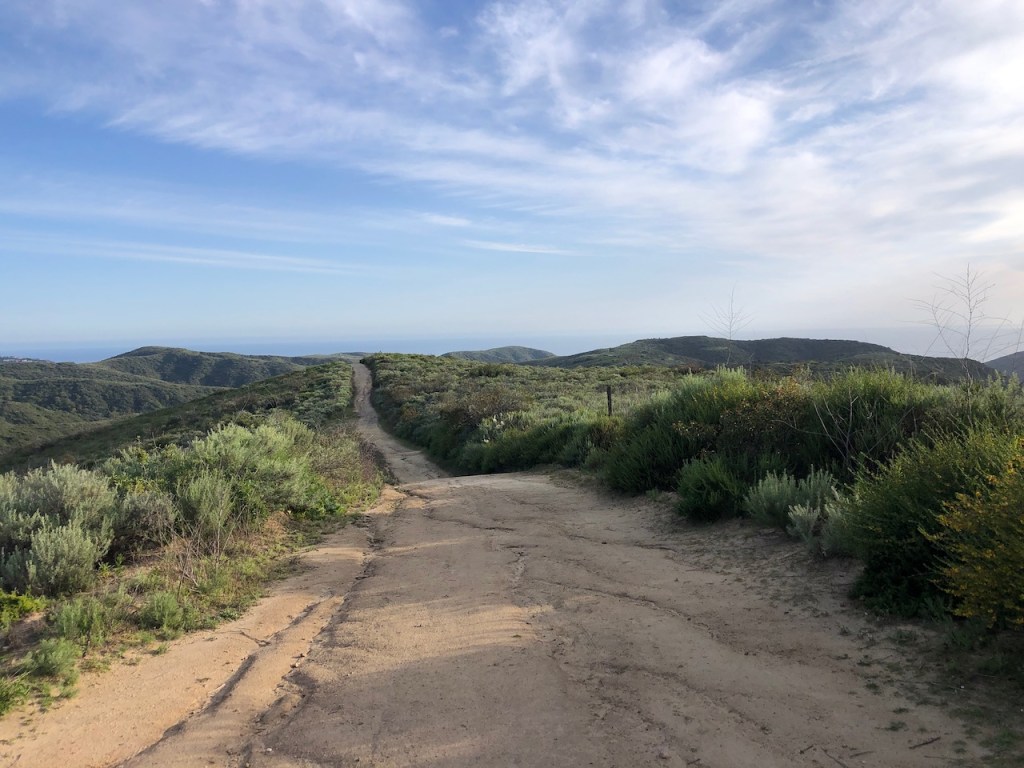
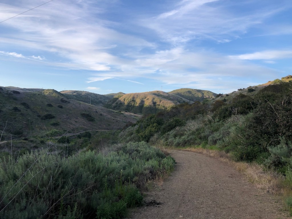
I could now see Saddleback mountain, ever present in the backdrop here in Orange County. I headed along Bommer, and noticed it was deeply rutted. There were lots of mud puddles, and water overflowing the trails from recent rains.
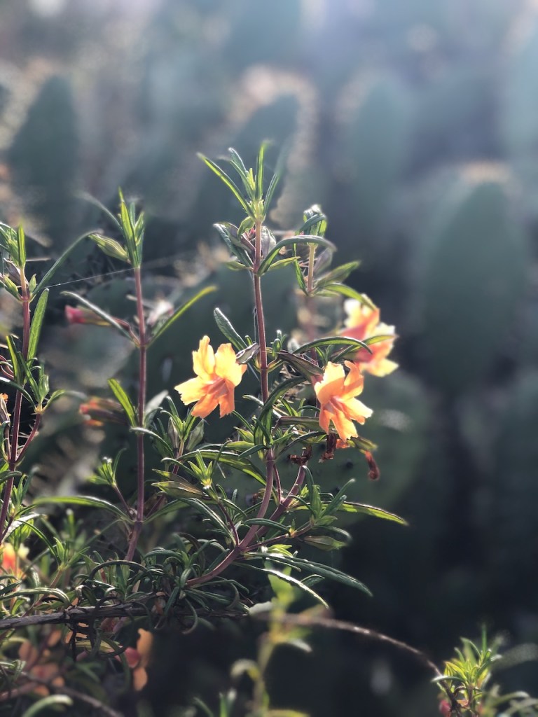
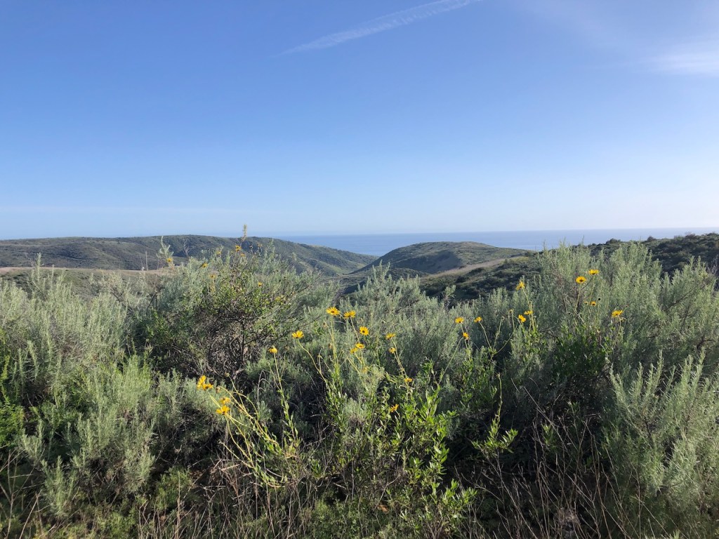
There were not too many flowers in bloom on the ridge aside from a few patches of Red Monkeyflower, and everblooming Bush Sunflower.
It was getting late in the day, and I tried to pick up the pace as I turned right down Moro Ridge.
There were many mountain bikers on the trails today, and they were whizzing past left, and right. I always try to stay to the left going downhill and stay to the right hiking uphill, so as not to get hit from behind. At least I am making an attempt. Right of way or not, I don’t want to make a statement to mountain bikers, and get injured in the process.
As I jogged down the rolling hills, I passed Upper Moro Campground, and then Lower Moro Campground, before coming to the zig zagging Cut Across Trail.
I then descended into the canyon, just as the last light shone into the canyon.
My Route
The route I chose was about 9.5 miles. The hike up and trail running for more than half of it, took me 2.5 hours to complete. When I hiked this with friends, it took about 4 hours.
Maps
Crystal Cove Perimeter Loop on Alltrails
I hope you enjoyed reading this, and it is helpful in knowing what to expect, should you decide to visit here.
About me
I’m Serafina! I’m a writer and California girl who loves to go exploring. Hope you will get outside today, breathe some fresh air, and be happy!
Follow my Journey…
Be sure to Like and Subscribe to My Youtube Channel where I post videos!
Disclaimer: The work on this blog is my opinion and my opinion alone and I am not responsible for the outcome if someone were to apply these thoughts to their own life. All text and photography copyright 2023 by Serafina, all rights reserved. Information and opinions provided are kept current to the best of the author’s ability. All readers’ usage of the ideas and opinions presented in the blog, are at their own risk. Be aware of the possible dangers of hiking, surfing, walking, cooking, and other activities, which may take place indoors or outdoors. By reading this, you agree not to hold the author or publisher of the content on this web site responsible for any injuries or inconveniences that may result from reading the blog, or partaking in any activity mentioned in the blog. Read the blog, and use its ideas, if you so desire, at your own risk.
