
An Early Climb
It was 4:30 am when I realized I had gotten my fill of sleep and was starting to stir in my bed, and wake up, well before sunrise. I thought about whether getting up this early was feasible, how to go about it, and the order of how things would have to go, this early.
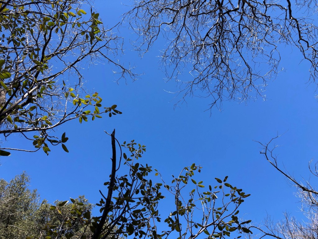
My tent was dry, and there was no condensation on this particular night. The windswept ridge appeared to provide good ventilation, and nowhere for the morning dew to hide. Now my concern was to not make too much noise. My backpack with its crunchy sounding fabric made that impossible.
I reached outside my tent and began to take what I needed out of the pack. I decided what would go in my pack first and last. I had to make a decision to put away my warm sleeping bag, which was hardest of all. So I organized all my gear, while still covered by a Sea to Summit 0 degree bag. It was overkill on this particular night, but I sleep cold, so I always need this thing.
I started returning stuff to the pockets they were in, such as my garmin, knife, mace, and whistle. I bring safety gear in the tent at night. Then I decided on snacks and food for the day. I would be making a hot second breakfast further on down the trail. I would be starting with a larabar, fruit bar, and some beef sticks, which I put in my zippered hip belt pocket.
It was around 5:30 am when I finally got out of the tent, used the restroom, and started packing up my backpack.
The last thing to put away was my tent, and since it was so dry, that ended up being a breeze. In fact there was a breeze blowing, and I shook out the tent a bit before folding it up, stowing it in the top of my pack.
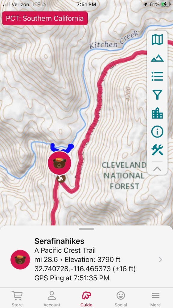
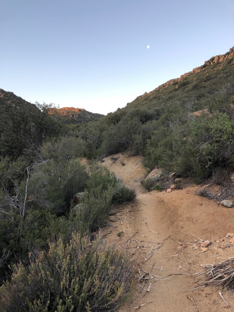
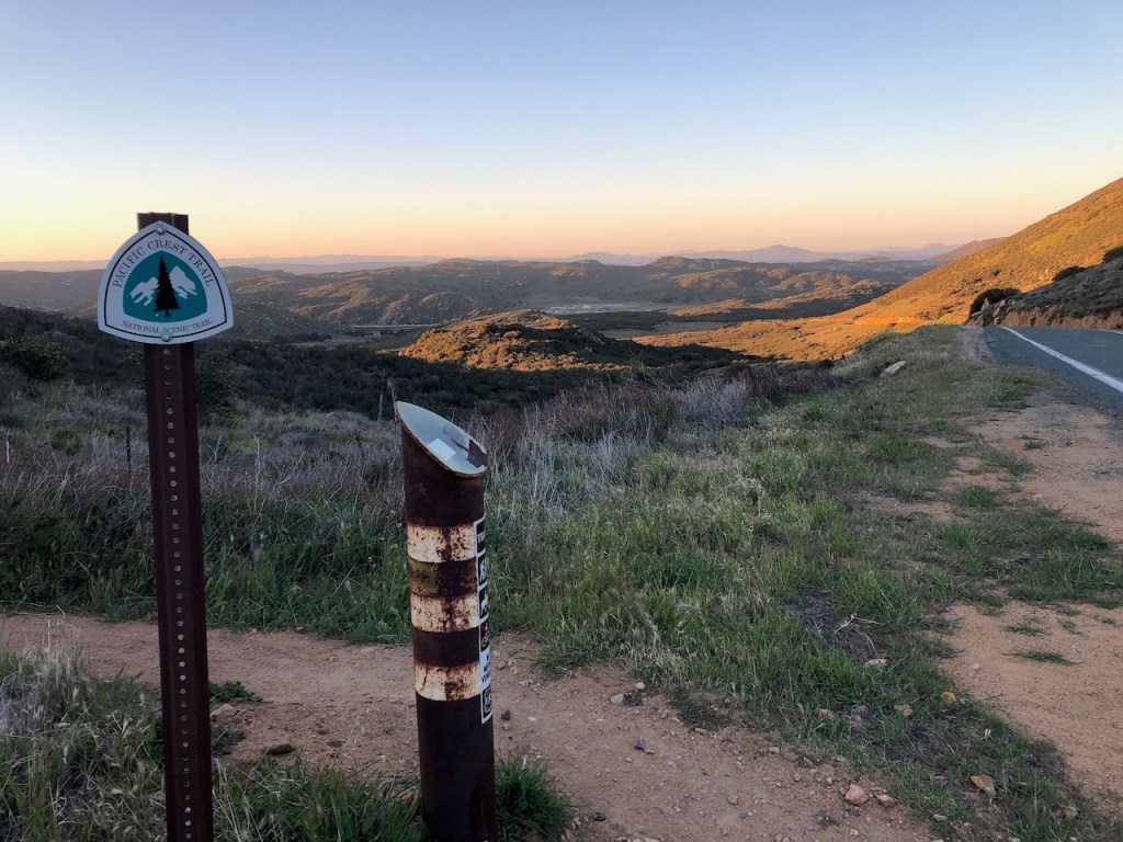
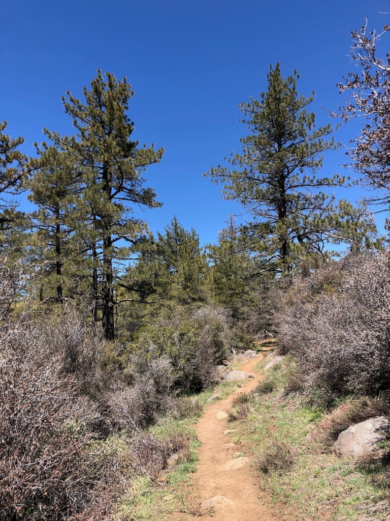
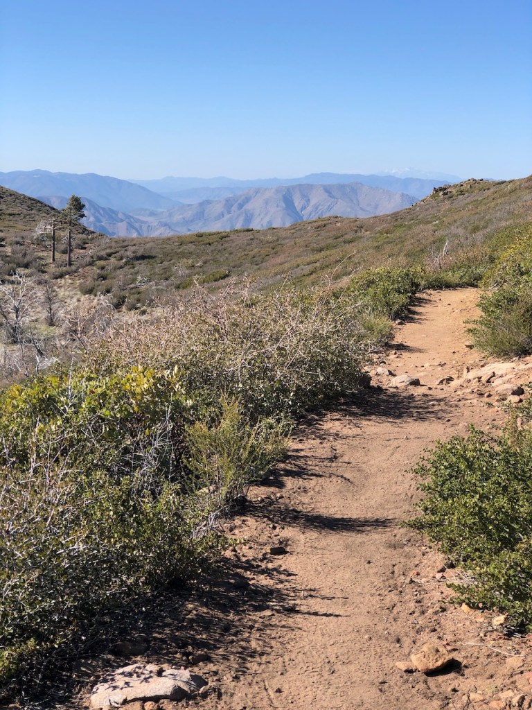
I was at PCT Mile 28.6. It was 5:50 am when I set off down the trail, towards Fred Canyon, the next campsite I knew of. I figured I would get to at least Fred Canyon, and take a break. I started out down the trail with just the faintest light across the trail. I decided not to use my headlamp, since I could see the trail.
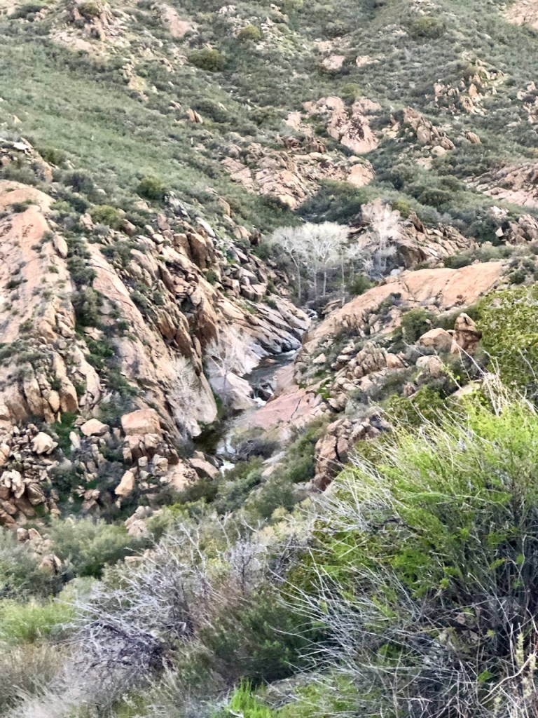
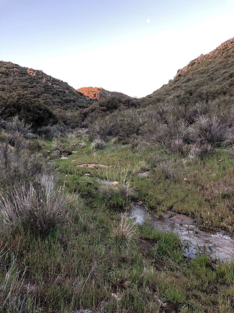
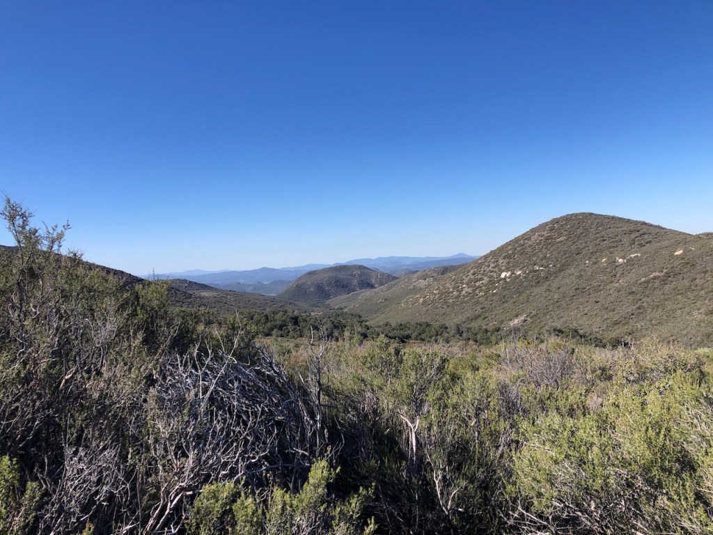
As I rounded the first switchback along the cliffside, the waterfall I had heard about started to be visible. The entire canyon was a series of waterfalls, cascading down towards I-8. It was certainly a sight to see. I regretted my plan of an early start, meant I could not enjoy this place a bit more. That’s why research matters, but for now I decided, no turning back now.
My only option was to hike on, and hike early, if I was to make the miles I planned one. I reasoned I would stop to fill up on water at Long Canyon, and possibly get all the way to Mount Laguna. At least that was the plan. The cool morning air was on my side. Hot sun always slows me down, so I needed to make tracks.
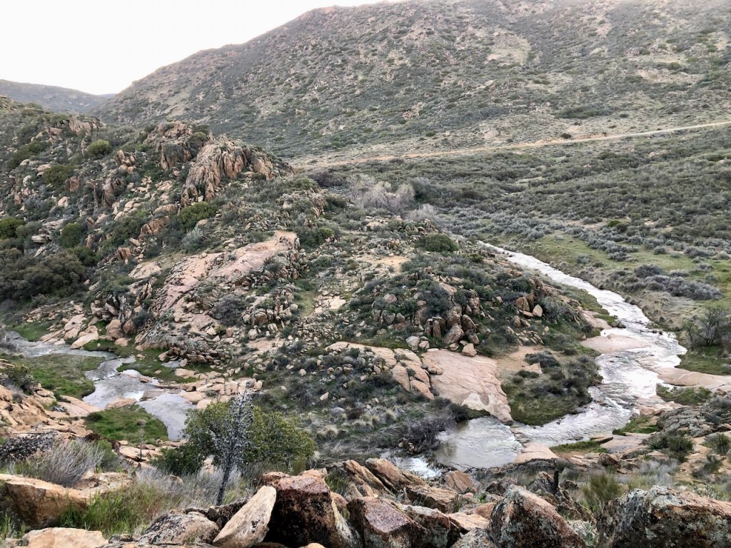
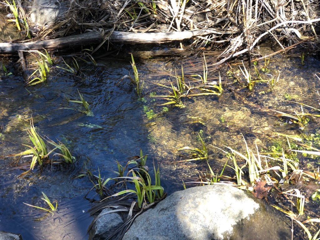
I edged my way along the steep cliffs, with Kitchen Creek below. For the next 30 minutes or so, I was treated to the sound of cascading water. Eventually I came to a steep trail, leading down to the creek, and if I was in need of water, this would have been one option.
I would cross a small tributary of Kitchen Creek, about 2 miles down the trail. There were plenty of water sources this year, more than a typical year here on the PCT.
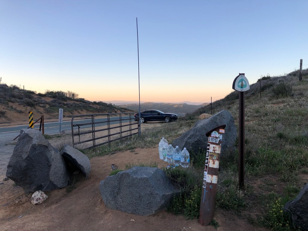
Eventually I came to an empty Kitchen Creek Road, with parking at the trailhead, and one black sedan parked.
I crossed over the road, just as the sun was beginning to rise, painting the valley in a beautiful warm glow.

The sun coming up only expedited my walk, as I knew I would be overheated once again very soon. I hoped I could maintain a good pace all the way to Long Canyon Creek.
I passed by a few campsites that were not marked on the Far Out map, and noted them on there for future PCT hikers. I came to another shady camping area with several sites, by a creek, under many trees, and realized it too was not marked on Far Out either.

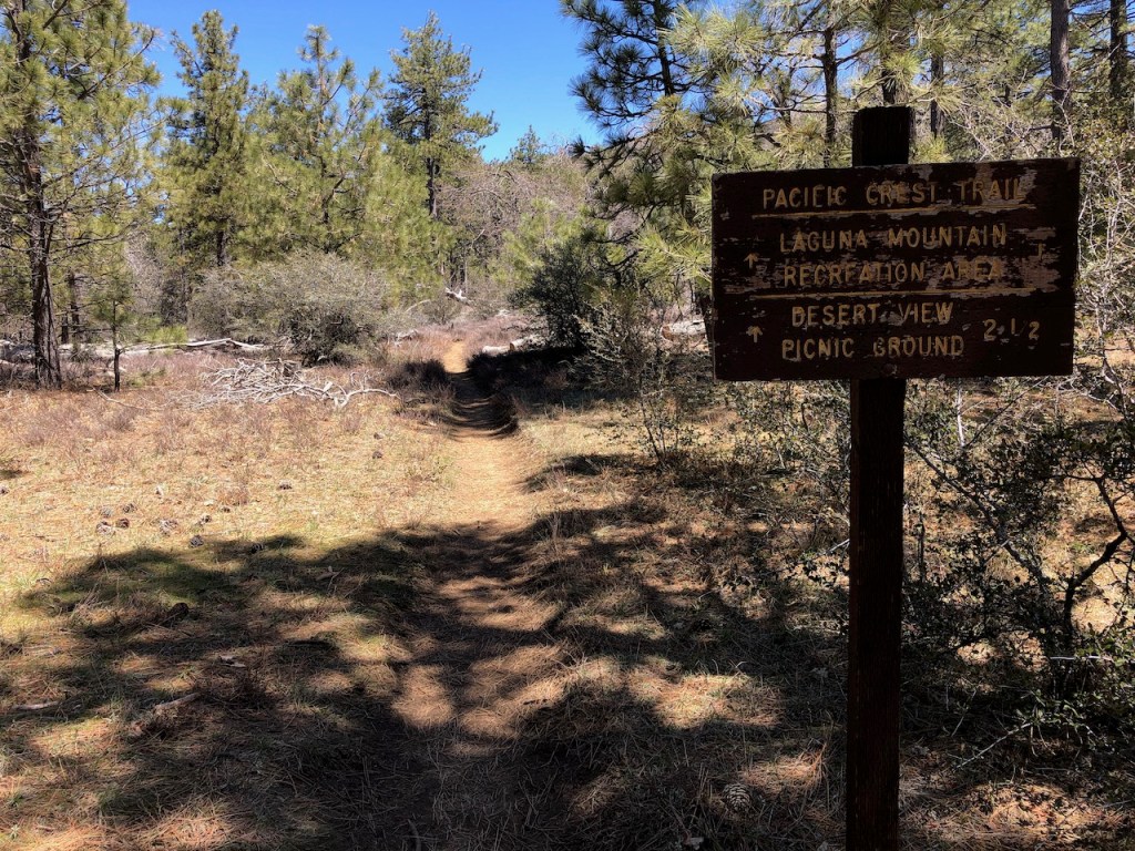
I marched onward, and climbed higher, eventually making it the 7 miles to the turnoff for Fred Canyon Road, and Cibbets Flat Campground, which is an additional mile, downhill from the trail on the left.

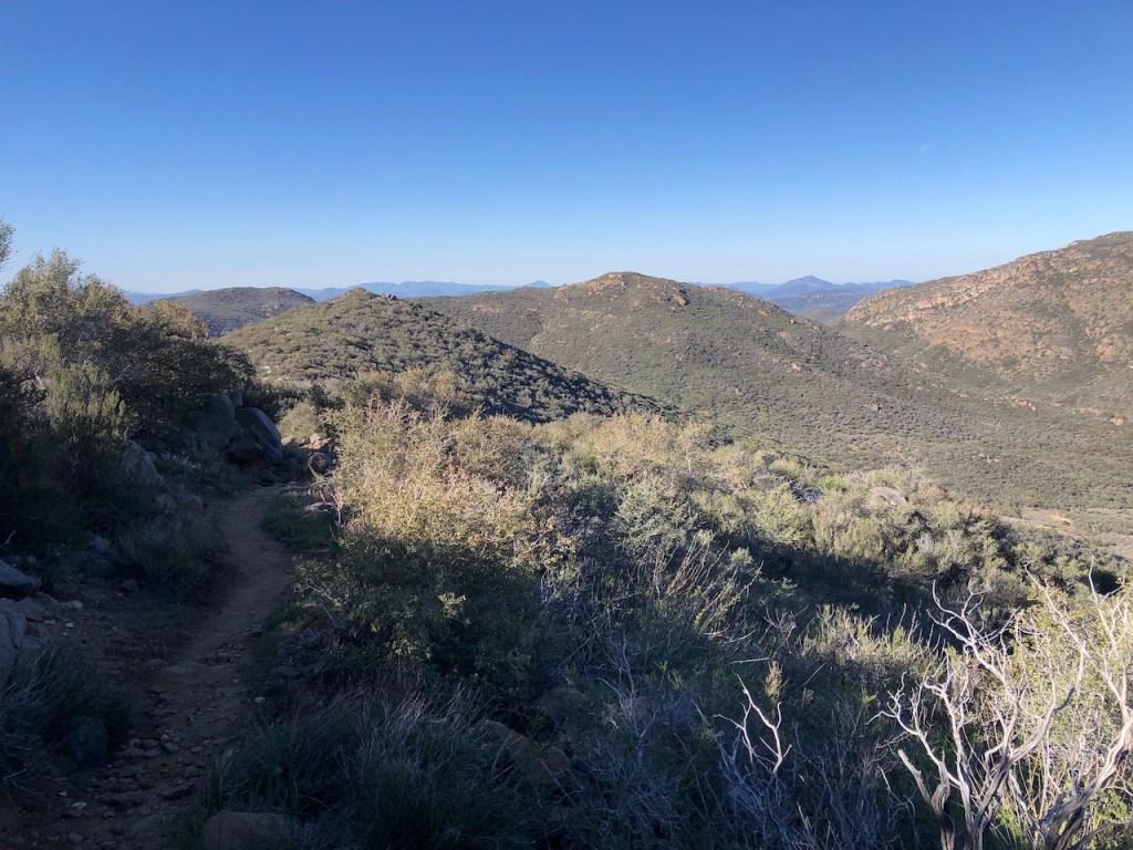
I was really gaining altitude wise, as I climbed a few rocky and long switchbacks, nearing the 8 mile mark. The idea of doing 10 before 10, did not seem doable today.
It was 9:30, and I found myself steadily climbing, at a moderate pace of 2 miles per hour in the hot sun. I met a woman from Germany named Oka, resting in the shade.
There was one small tributary of Long Canyon I would cross. Right by it were several camp sites. I hiked on, and as I stopped for a moment to check my map, Oka walked up passing me, before stopping at the creek. I went to hop over, and she decided to hop at that moment, so we hopped at the same time. So glad that all ended well with that, as generally one person hops over at a time.
I had reasoned I might make it to Long Canyon by 10, but I was mistaken. I arrived at Long Canyon Creek around 11:15am, and it was starting to really warm up, especially in the canyon.
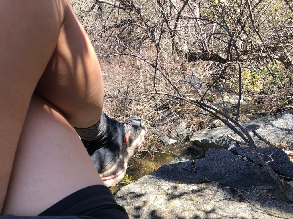
About a .25 mile further up the trail, at mile 11, I would stop and rest atop a large cool flat rock, alongside Long Canyon Creek. It was just before the second and final creek crossing was marked.
This was much needed recuperation, since I had now hiked about 11 miles, and was exhausted.
Filling Up
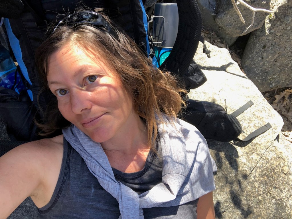
I filtered three bottles of water to equal 4 liters, which literally took forever. I charged my phone up, and made lunch on my stove, using up the remains of the last isobutane can I had, so it was time to start a new one. I had some scrambled eggs and rice, which I added too much water too, so it was more like soup. Eyeballing it with backpacking meals is not a real precise method. Then I sat back and took a moment to enjoy where I was, and regain my strength. The cold rock on my hurting back came at just the right time.
Around 12:30 I had rested enough, ate lunch, and filled up on all the water I would need, until Mount Laguna. I could stay at Burnt Rancheria Campground for a 13 mile day, or better yet, Laguna Campground, which would be an 18 mile day.

I decided I was going to try for Laguna Campground, with my early start. At the time I thought it was going to be 18 miles, but I miscalculated, and hiking to Laguna Campground is more like 20 miles.
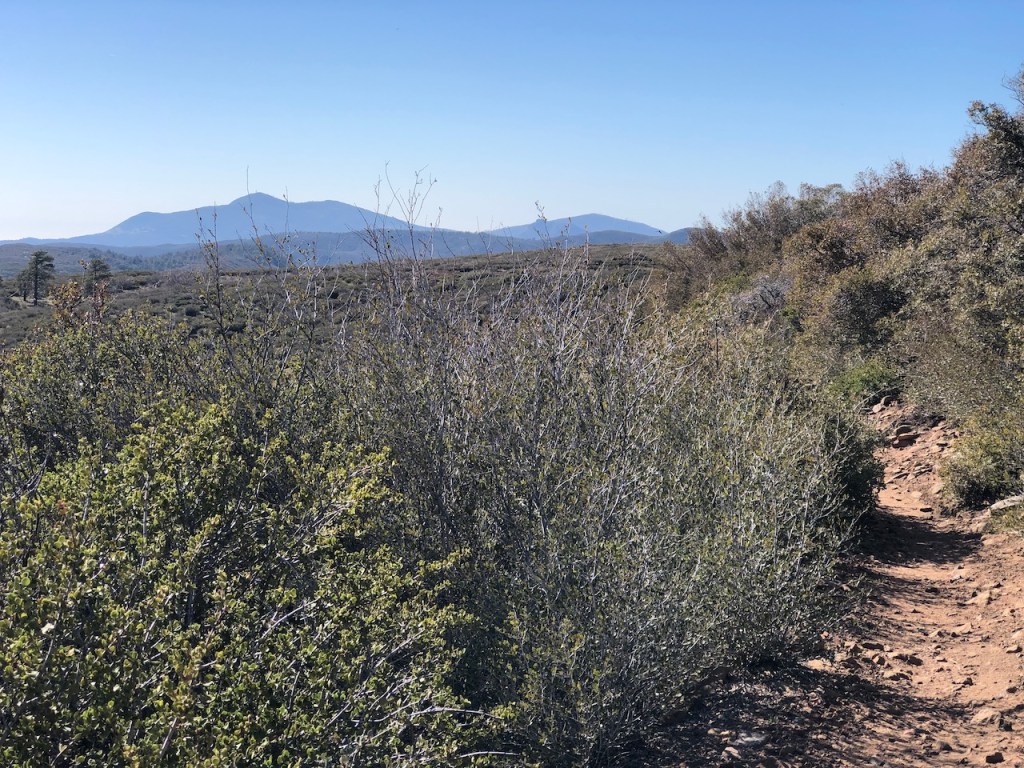
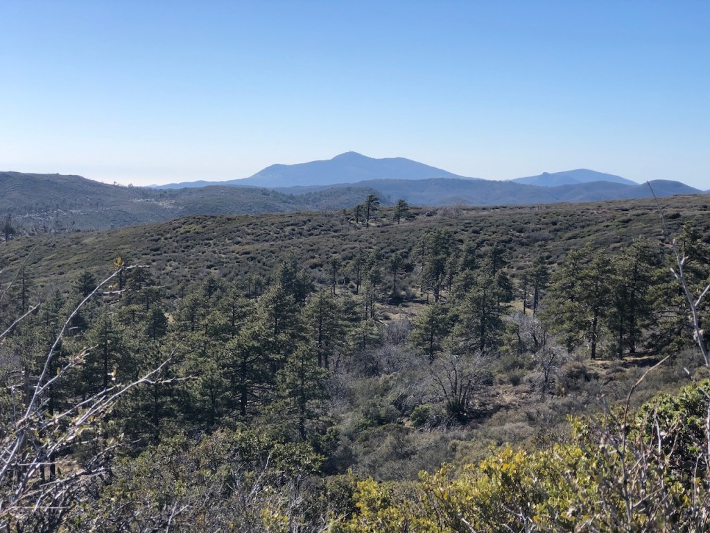
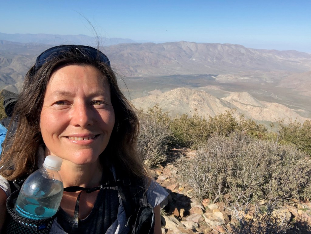
I had another 800 or so feet of climbing to the high point in the Laguna Mountain Wilderness, where I could reach an altitude of just over 6000 feet.
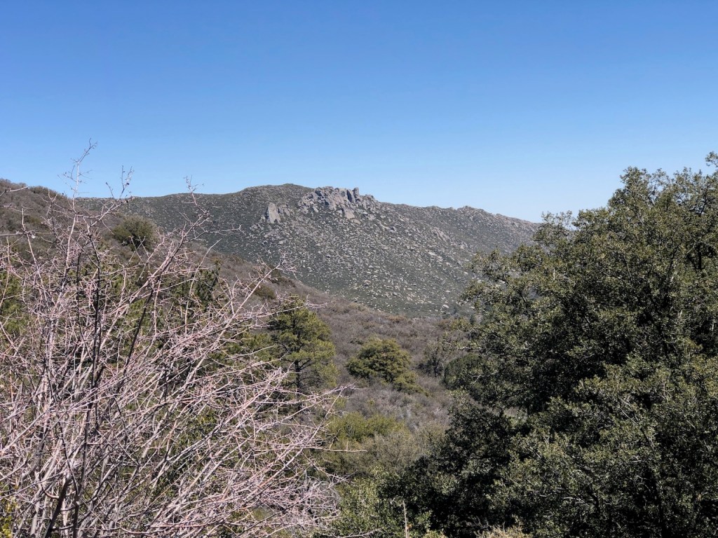
There were many higher peaks around me, such as Cuyapaipe Mountain, and of course Monument Peak, with its weather station.
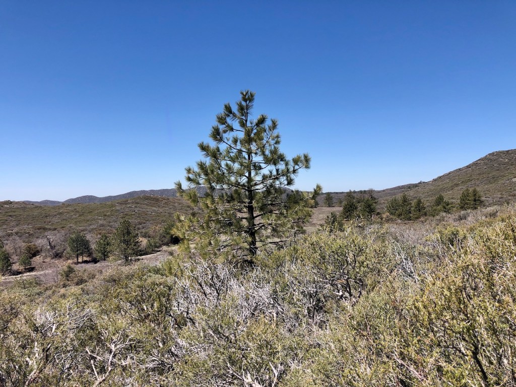
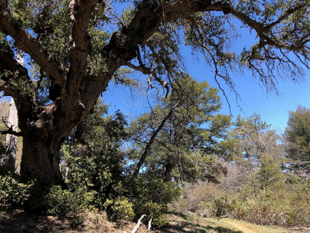
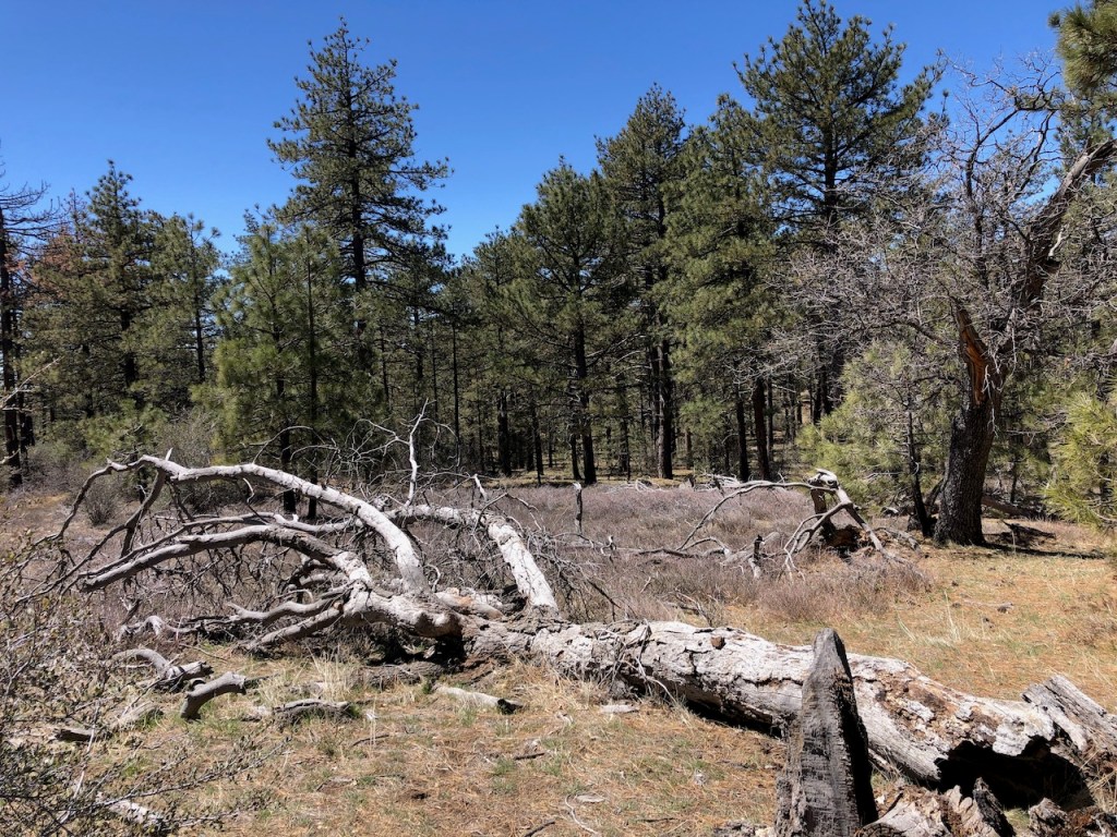
I eventually made it into the Laguna Mountain Wilderness.
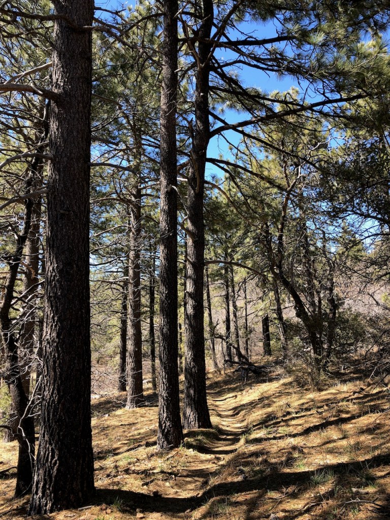
It was a fragrant pine forest, with freshly melting patches of snow still lingering about.
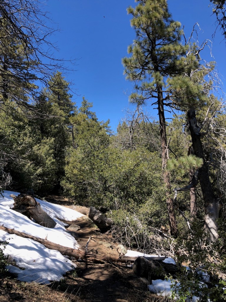
Spring had barely sprung here, with the longer than usual winter conditions.

I was thoroughly enjoying this section, despite being exhausted, and slowing down a whole lot. It’s too bad camping is not allowed outside established campgrounds, since its a beautiful area.
I passed another friendly PCT backpacker from Germany lounging alongside the trail.
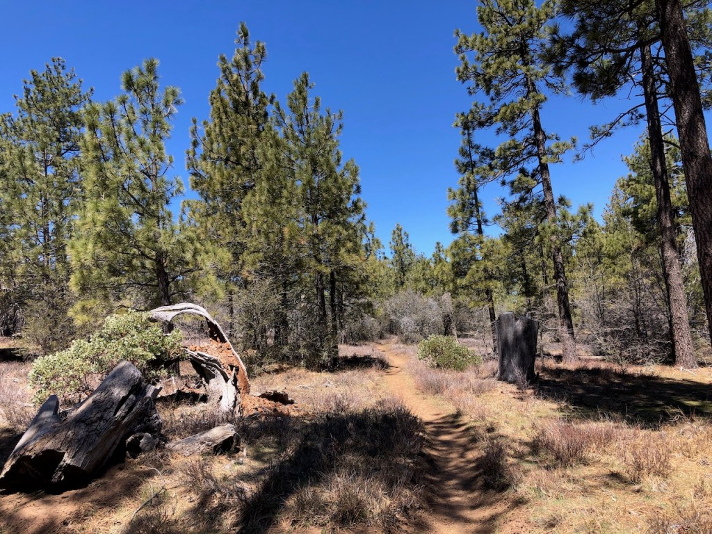
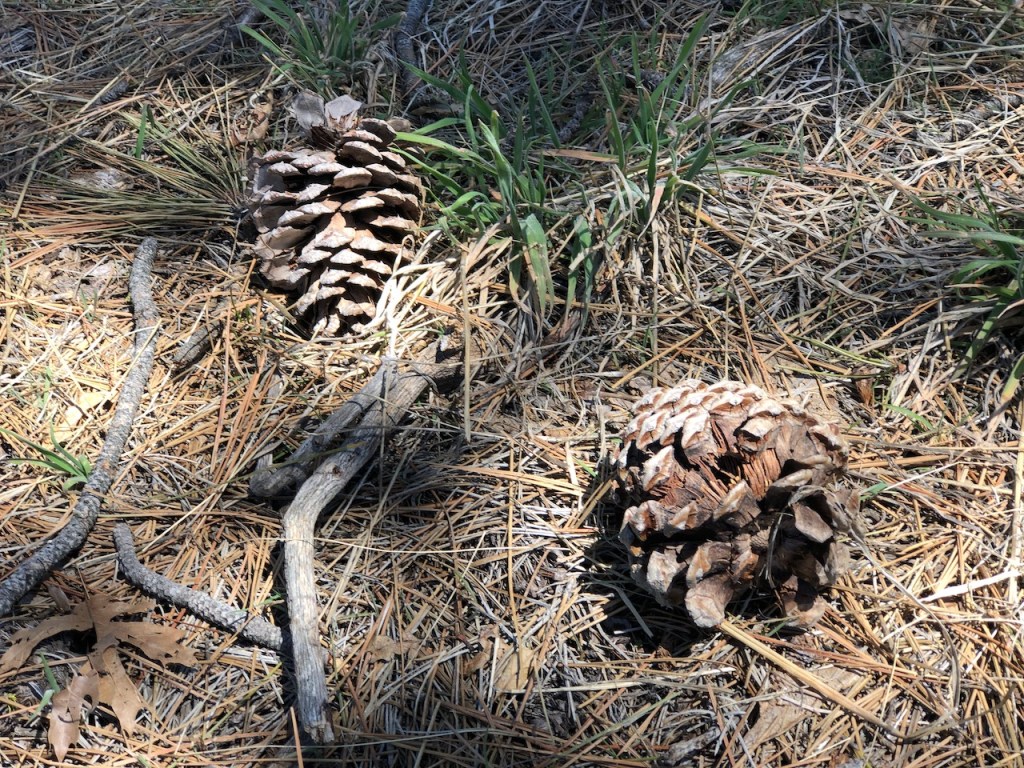
I hiked on through the pines, and it started feeling like I was back in my favorite place, the an alpine forest. It really smelled good here and very piney.
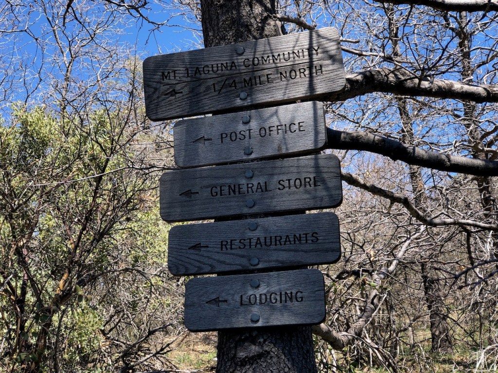
I finally reached mile 40, and the turnoff for Mount Laguna. I decided to call and check in with my boyfriend, since I had 3 bars of cell service. It’s an unusual thing to have cell service in the wilderness, as I did by Mount Laguna.
As I sat there under the sign to pointing the way into Mount Laguna and Burnt Rancheria Campground, I had no idea, I was about to have a gear failure. My Z-Packs frame stay was about to pop through the material, into my hip, not 5 minutes later, after I headed off down the trail.
I would make a second unfortunate phone call about my gear failure. He willingly offered to immediately leave and come pick me up early. I could not hike on safely with the metal sticking into my hip.
It was late in the day, and I was tired, but I wanted to at least make the last 5.5 miles for the day. I figured my boyfriend needed extra time to get there too. So I would hike 5 more miles to Storm Canyon, just a mile shy of the original plan of Laguna Campground.
This was the hottest part of the day, and I walked under my umbrella to stay cool.
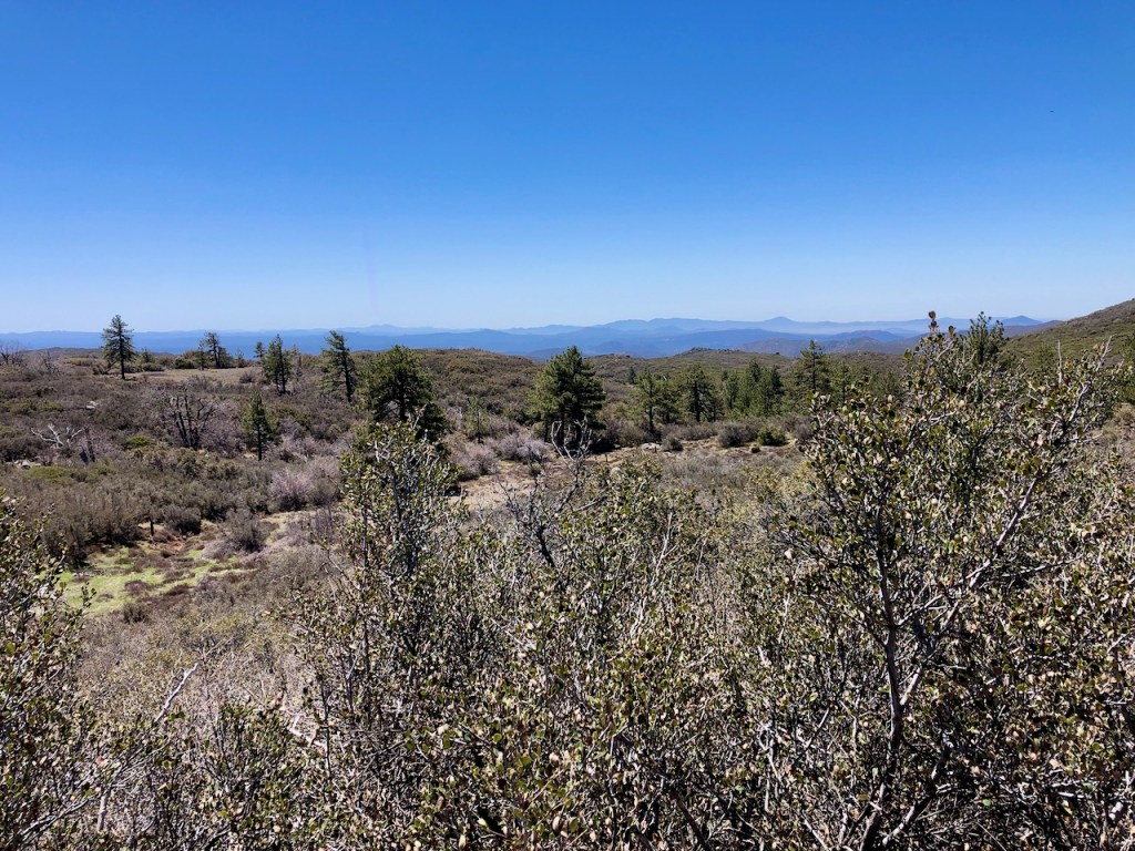
The landscape started to become more barren, with less trees, and more dead trees, than live. I headed further north, and spotted the golf ball of death, the Monument Peak weather station, with its radiation, your not supposed to stay around for long.
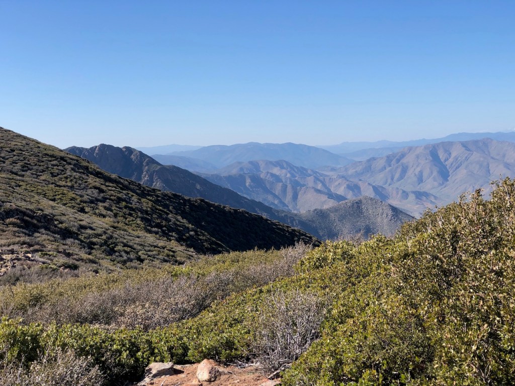
Further along, I passed an area that was very rocky and sun exposed, with only shrubs.

In the distance, I could see the Anza Borrego Desert, in the valley below.
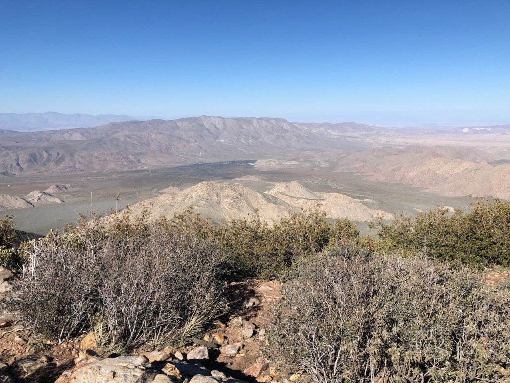
I stopped at an overlook, to take it all in. I checked for phone service and my boyfriend’s progress to Storm Canyon, about 2 miles from the trailhead.
I found he was delayed, so I decided to take a 30 minute break, in the shade of some shrubs. It’s funny how just 30 minutes recuperation can be all you need to continue a hike. I was padding my hip with my sit pad, to protect myself from the protruding metal stay of the frame of my pack. My sit pad had many holes in it now.
I knew I had to keep going, but I was at a snail’s pace now, around 5:30, as I hiked the last mile or so down to the trailhead.
I got a little bit too much sun on this stretch. But there were even more spectacular view, along with not another soul hiking with me, for the last few hours. So I got to enjoy the trail all to myself, which was how it was most of the time anyway, between towns.
It is likely most backpackers had stopped back in Mount Laguna for the evening, being it was late in the day. PCT thru-hikers will re-supply there, and get cabins if they can afford it, with hot showers. That sounded pretty good right now. Three days on trail, and a shower, along with your own warm bed sorta sounds nice.
I would have to descend toward Storm Canyon, but climb again for a short stretch. I was on my last legs, and was cursing any extra climbing at that point. I pushed myself to the limit again. I never know it, until I get there. Today it was 19 miles.
Storm Canyon
It was late in the evening around 6 pm when I hobbled up to the Storm Canyon viewing platform. What an amazing canyon it was. I was not disappointed with these views, not even a little. I collapsed on the stairs awaiting my ride.
He arrived just 15 minutes later. I felt so grateful, and afterward, we enjoyed some good grub at the Julian Brewing Company, one of the few places open late in this small hiker town, before heading back to Orange County.
PCT Section A…to be continued
Until next time PCT. My goal in 2023 was to complete Section A, not neccesarily all in one shot. Taking a few days off from life at a time, to backpack, is a lot more doable than a whole week. It takes about a week to complete Section A of the PCT.
According to the PCTA Section A is actually 109.1 miles, and not the 104 miles listed on alltrails. I used a Guthooks, aka the Far Out app to track my progress along the way, so I knew what mile marker I had reached.
I had planned on 5 days this time, and a total of 77 miles to complete my goal. But until I have my Zpacks Arc Air pack repaired, or buy a different pack, I will simply have to hold off on the remaining 27 mile in order to finish the entire Section A. It’s possible this section may have to wait, once summer temps set in, if I don’t find the time to hike it before then.
My plan is to probably leave a vehicle at Scissors, and talk a friend into going, so we can drive back to each others cars, since I prefer not to hitchhike if I can help it. But are you even a PCT hiker if you don’t? I am so grateful I was given several rides to the PCT already, which costs the person I care, my boyfriend about 5-6 hours of driving in one day from where I live in Orange County.
Fun Fact: On alltrails the section of the PCT from Boulder Oaks to Mount Laguna is called Thing Valley to Boulder Oaks, but makes no mention of the PCT.
I hope you enjoyed reading this, and it is helpful in knowing what to expect, should you decide to visit here.
About me
I’m Serafina! I’m a writer and California girl who loves to go exploring. Hope you will get outside today, breathe some fresh air, and be happy!
Follow my Journey…
Be sure to Like and Subscribe to My Youtube Channel where I post videos!
Disclaimer: The work on this blog is my opinion and my opinion alone and I am not responsible for the outcome if someone were to apply these thoughts to their own life. All text and photography copyright 2023 by Serafina, all rights reserved. Information and opinions provided are kept current to the best of the author’s ability. All readers’ usage of the ideas and opinions presented in the blog, are at their own risk. Be aware of the possible dangers of hiking, surfing, walking, cooking, and other activities, which may take place indoors or outdoors. By reading this, you agree not to hold the author or publisher of the content on this web site responsible for any injuries or inconveniences that may result from reading the blog, or partaking in any activity mentioned in the blog. Read the blog, and use its ideas, if you so desire, at your own risk.
