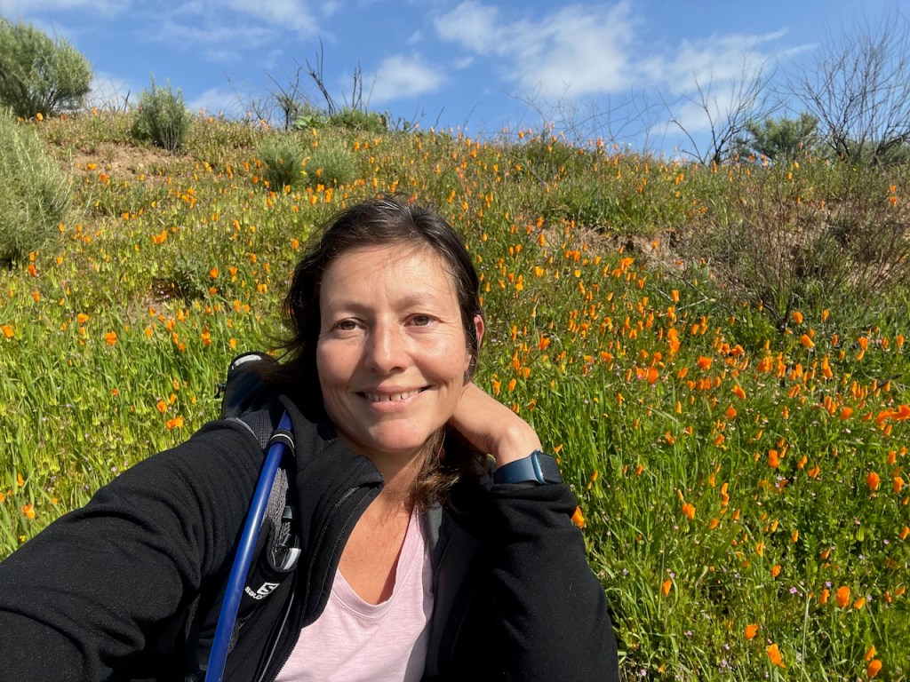
I went for a Valentines Day hike in search of peace, and quiet, amongst nature, not to mention poppies. Chino Hills is one of Orange County’s largest parks. It’s a great place to have some alone time, if you know where to go, and when, since many of the trails can get crowded.
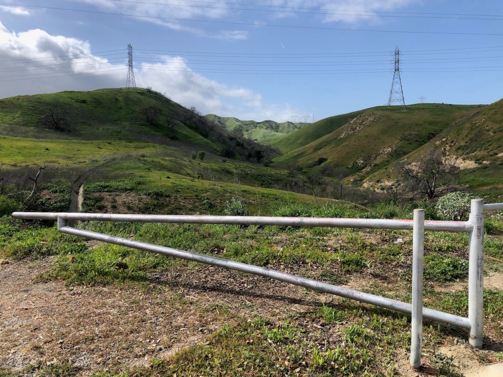
My hike up Slaughter Canyon Trail began at this gate, which was open. I parked about a half mile north of here in a neighborhood, since there is no parking on the road, or by this trailhead. I was looking for the trail less traveled, and a lack of parking, tends to empty things out.
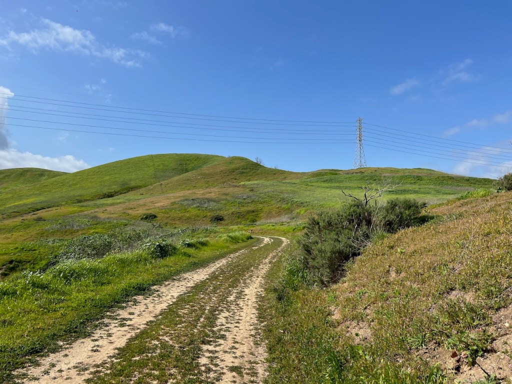
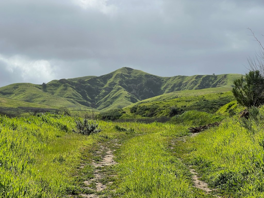
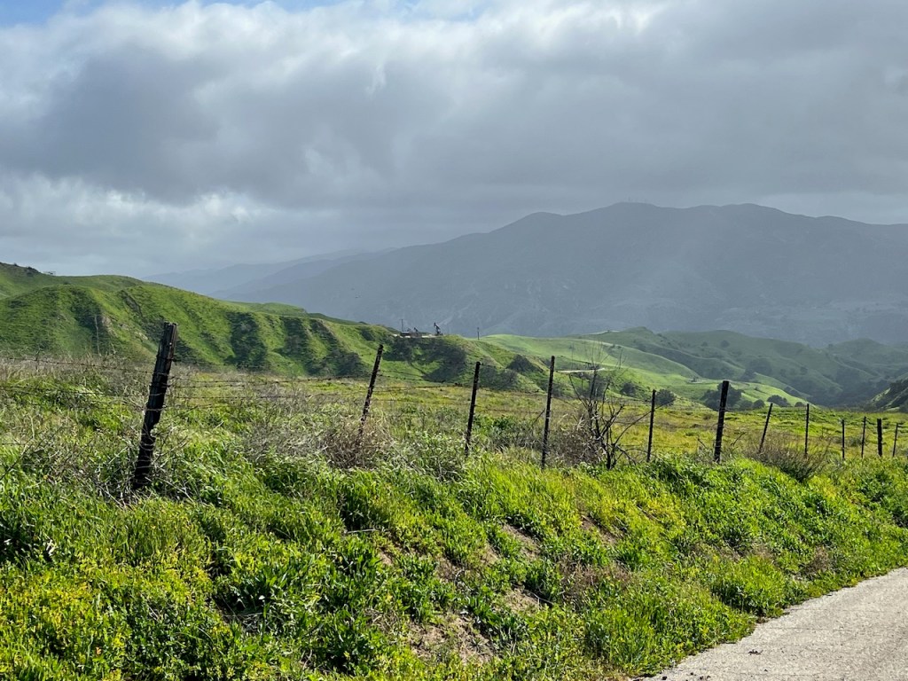
This trail is also a road, likely used by the oil and gas workers, on the various installations throughout the park. The trail was clear at this point, but would soon start to more overgrown. That’s why winter and early spring are the best times to hike here, until early February.
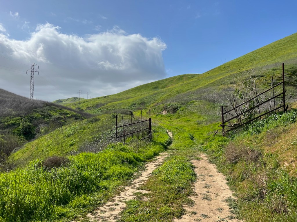
Here is where it got much much greener, as I passed through an old fence, likely used for cattle, since ranching also played a big part of Chino Hills past.
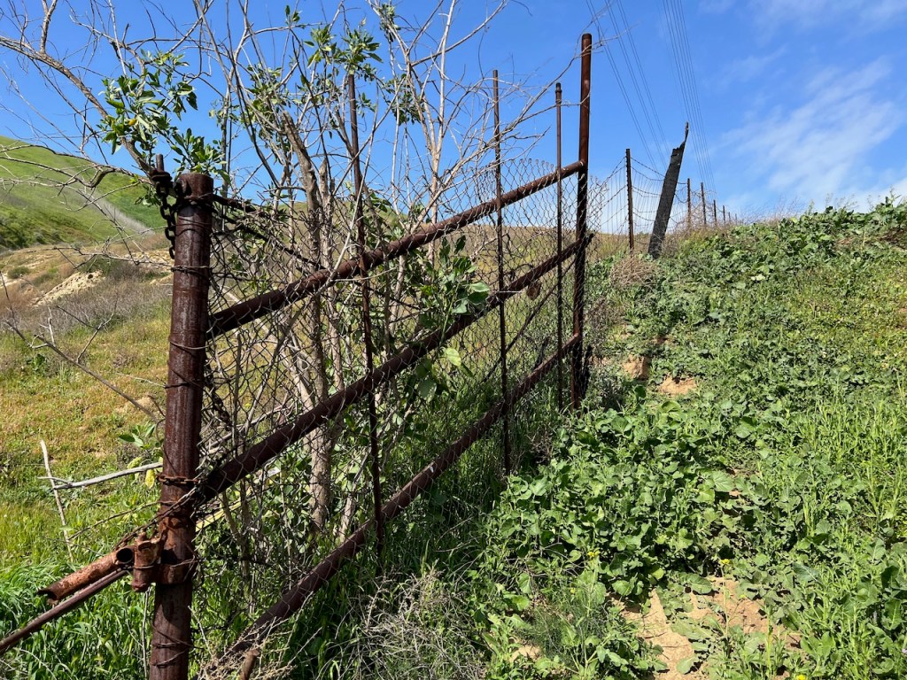
I enjoy gazing at rusty old relics of the past, and wondering about the history behind them.

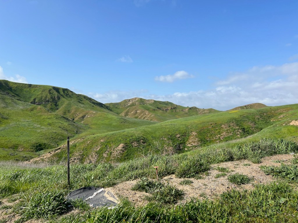
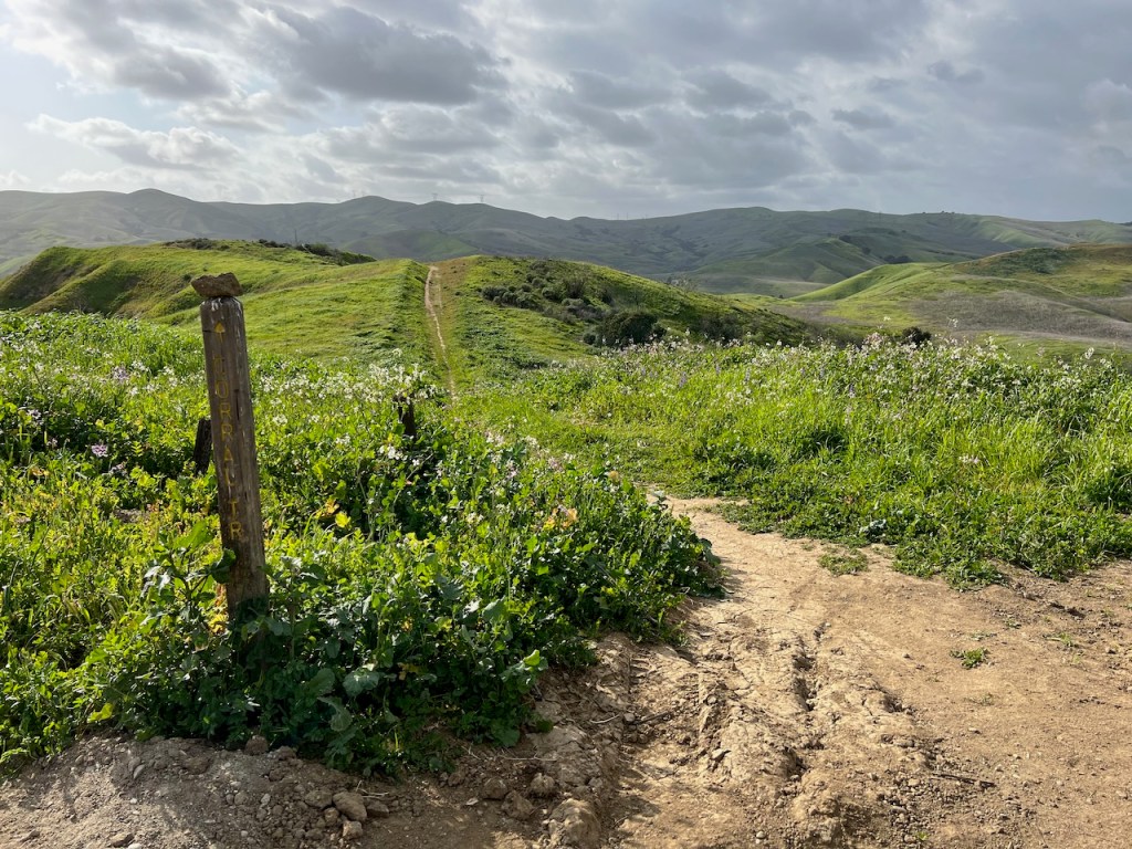
The grass got greener, and more lush with every step, as the actual trail began to disappear beneath my feet, as evidence of how few hikers had come this way.
The clouds gave way to sun. An incoming rainstorm was lingering in the area, and there were no guarantees this sun would stick around for long. I was prepared with my rain jacket just in case.
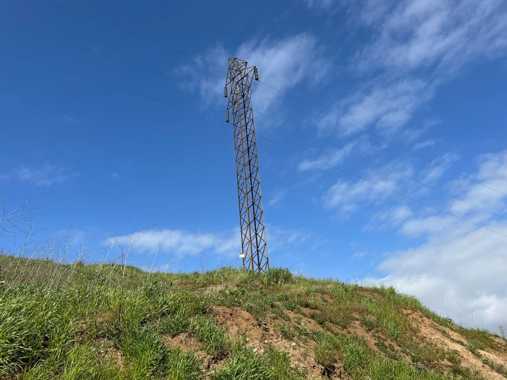
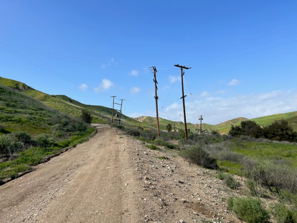
Though I had seen them from the road, and knew I would walk beneath them at some point on the hike, here they were, the statuesque powerlines of Chino Hills. Some of the trails have more of these than others. I was hoping this trail was not on of them. This park borders on being industrial with all the gas lines, power lines, and oil wells throughout.
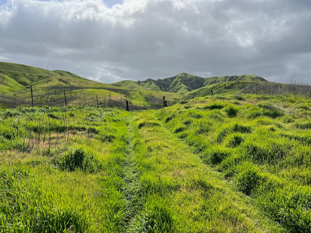
The trail was now gone. I took my time wading in the grass, listening for any indications of wildlife beneath the blades, like snakes. The grass looks so inviting, but in California looks can be deceiving. My first time at Chino Hills, I encountered a rattlesnake, and had a close call, on the trail to Gilman Peak. It was much more overgrown then, and up to my shoulders that day. I never saw the snake, but its rattle and hiss will forever haunt me. So I tread carefully, in nature, as much as possible.
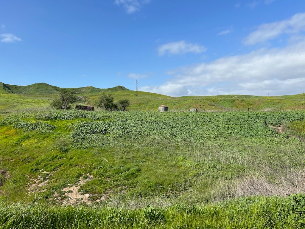
I spotted what looked to be an old water tank, and cattle trough for livestock. I believe livestock may still graze here in these hills, but I’m not completely sure.
According to California State Parks, “After the Spanish founded Mission San Gabriel in 1771, the Chino Hills were used extensively for grazing by mission cattle. “
Apparently the land was later leased to nearby landowners for their own cattle grazing. Not too long ago, there was an article called “Cows Gone Wild,” about cattle scaring the hikers in Chino Hills State Park.
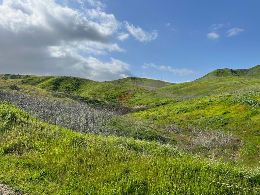
Off to my right, I started to see patches of poppies on steep slopes.
In the distance I could spot even more poppies, evidenced by patches of orange, along with what I believe is San Juan Hill, a peak with a usgs marker on the western side of the park.
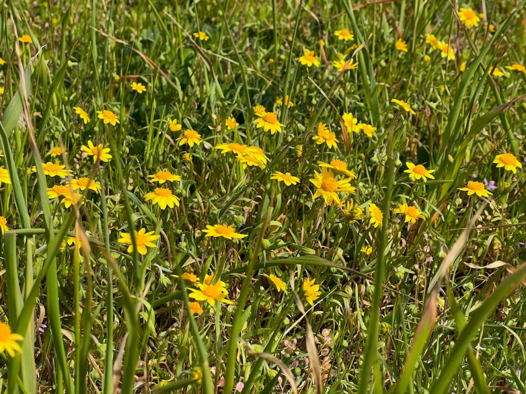
I found some sunny yellow buttercups in bloom. Spring had come early, and around every turn was something new to see. There were lots of the more common Bush Sunflower, along with fields of yellow fiddlenecks, which are abundant on coastal slopes right now. Some flowers prefer poorer soils such as found on ridgelines, where the wind constantly blows away topsoil.
Beyond this cattle fencing and barbed wire, I spotted Sierra Peak in the distance. I had hiked there in the past year, up Coal Canyon, through its Tecate Cypress grove.
The road became paved, as I descended down a canyon, passing under some powerlines.
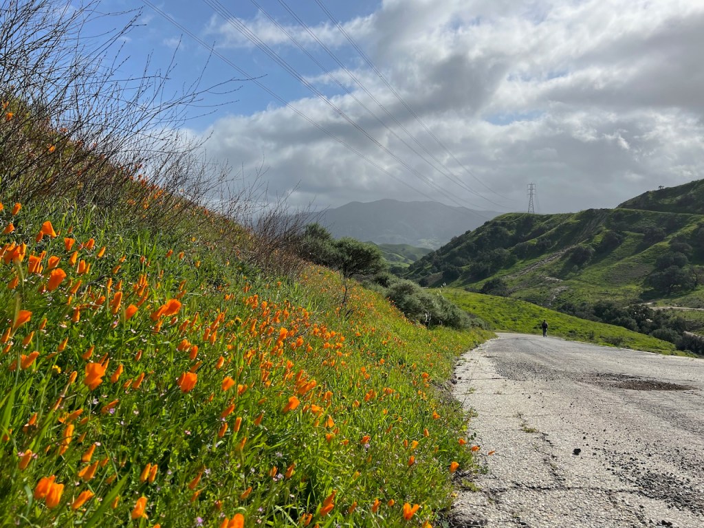
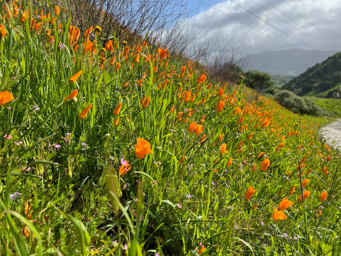
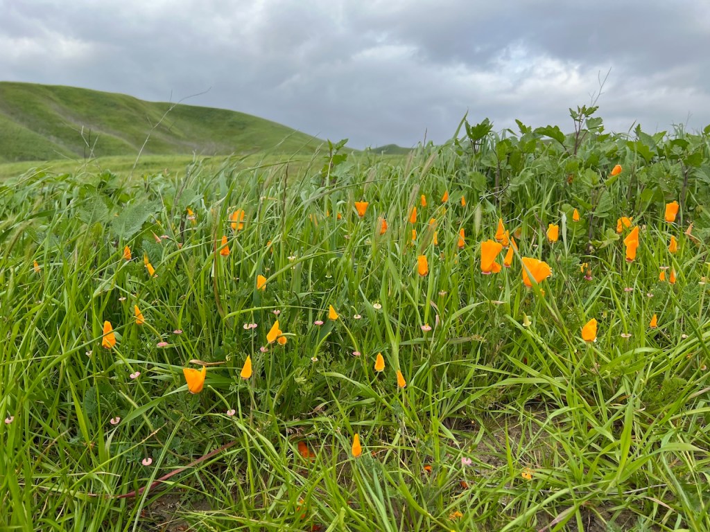
I finally came across my first patch of poppies, right off the trail.
The poppies are so vibrant, even with their blooms were closed. I would expect they do this on both partially cloudy days like today, and rainy days too.
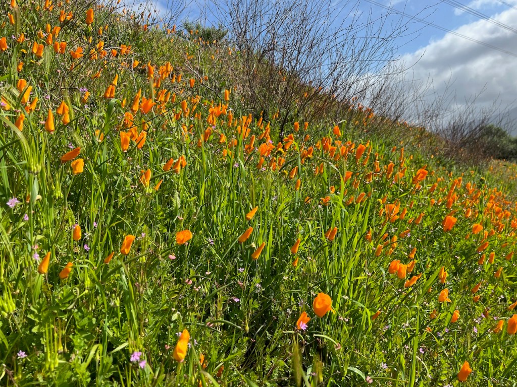
There were plenty of small pink flowers intermingling with the orange poppies. I have seen yellow poppies before too. There are many different varieties.
I made a sharp right, at the foot of the hill, as the trail began to ascend upward yet again, this time on an unpaved road. I could see one of the many oil rigs pumping, close up, off to the right.
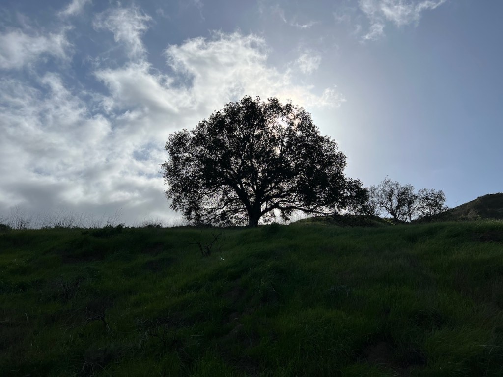
As I walked uphill, the hillside was cool, and shaded. As I gazed up, I noticed a perfectly silhouetted oak tree along the ridge.
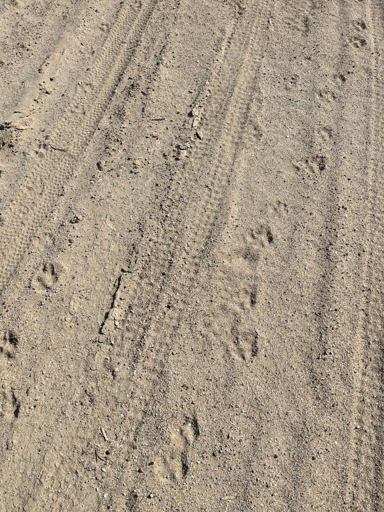
There were fresh animal tracks, that appeared to be two cats, walking along together. Being that it was Valentines Day, I imagined they were on a date.

I gazed back at the valley, noticing this side of Chino Hills, is marked by industry, oil rigs, and the infrastructure, associated with it.
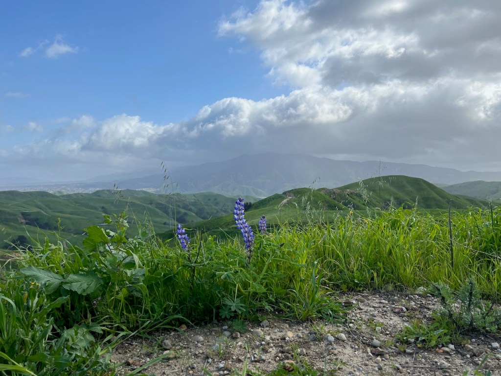
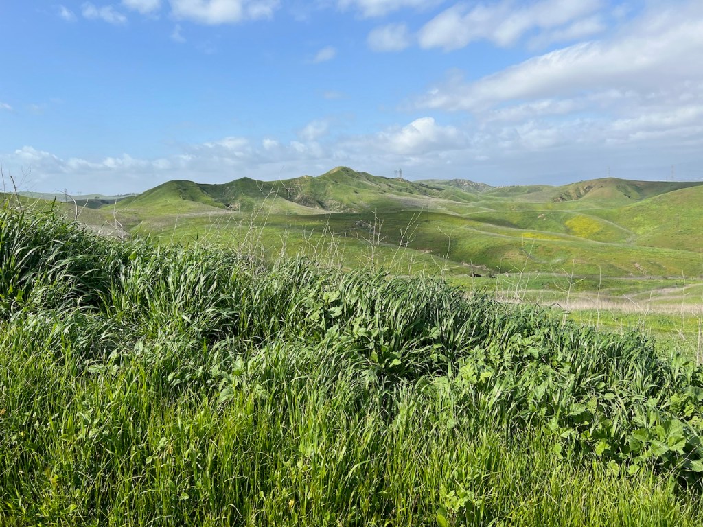
I would climb atop another ridge, one of several on this hike. I spotted a few lupines here, along with another phenomenal view of Sierra Peak.
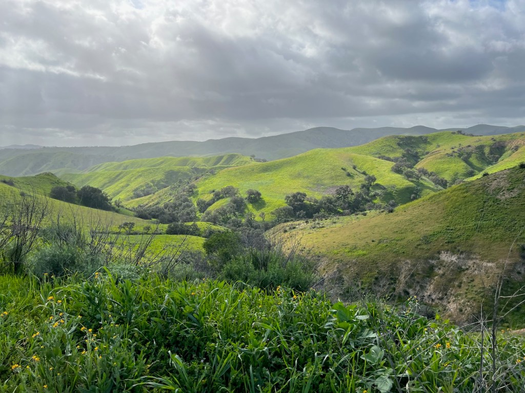
The views down into Lower Aliso Canyon were stunning.
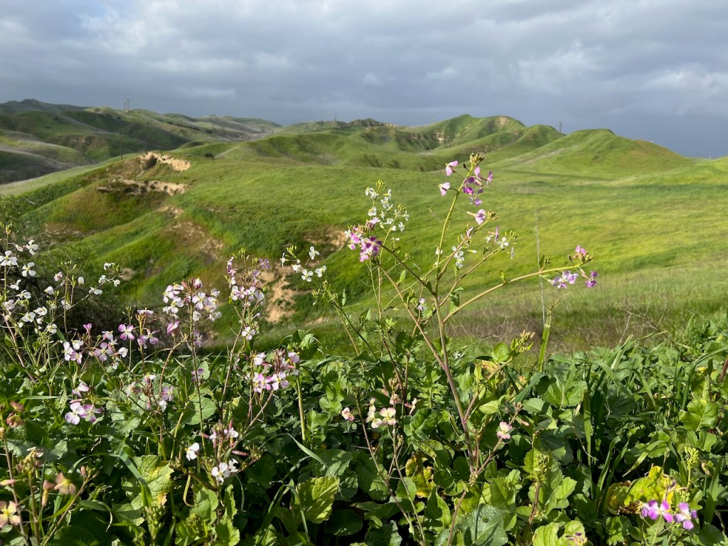
The small pink blossoms of wild radish.
Sierra Peak in the backdrop. It is one of highest peaks in Orange County. If you make the trek there, I recommend forgoing Pipeline Trail with its 40% grade, and taking Coal Canyon out and back.


As I continued onward, along the Long Way Around Trail, off in the distance, were even more poppies on ridges in the vicinity of Bane Canyon.
I pass the Corral Trail on my left. I am now in familiar territory. I have hiked up Corral Trail last spring, linking up to East Fenceline Trail, taking it even higher along the ridge, for the entirety of East Fenceline Trail, with its narrow single tracks.
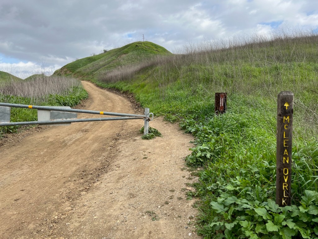
I continued onward to Maclean Overlook, before descending once again, toward Bane Canyon Road, where I would make a right on East Fenceline. I could see more poppies on distant ridge lines, where they likely alluded poppy tourists, growing mostly in hard to reach spots.

As I hiked north along the trail, I saw many more poppies, off to my left.
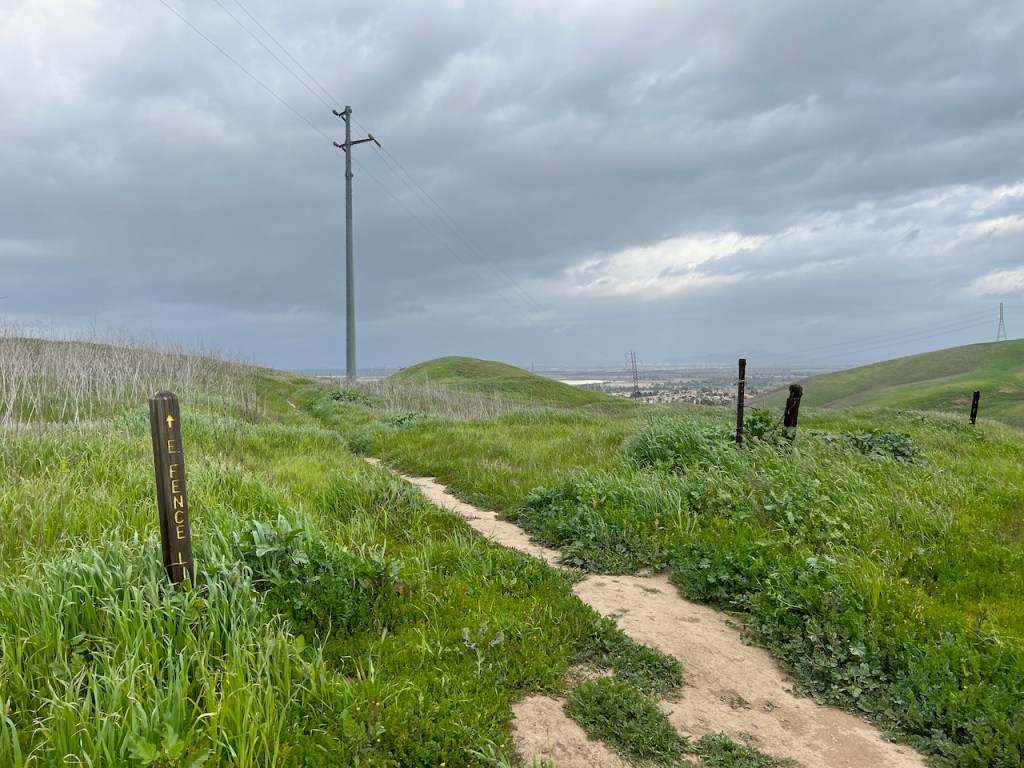
My last stretch of the hike would be along East Fenceline, toward Pomona Trail, which is marked by power lines.
Peaceful, yet narrow, and getting very overgrown in early February. The best time for these trails. Snake season is April through October. I have heard it might come early this year. I was on the lookout for them, as always.

But what a beautiful stretch of trail this is. Your are led along a fence line, which is supposed to keep the cows, and the hikers separated from one another.

I made a right on Pomona Trail, heading up another ridge, which apparently leads back to the road, for a walk back to my car. There are many ways to do a loop hike in Chino Hills.
A Few Mishaps
I would have a close encounter with cows, and have to climb a closed gate, to exit the trail later. So I recommend, taking a different loop than this one for that reason. You might have to negotiate with cows, and fences is all. There were several bulls with horns. Cows are not all docile, and they can be aggressive. There were plenty of cow paddies too. Thee trail did not look well trafficked here either. It would seem locals in the know, did not utilize this one much.
Be Prepared for Anything
Well sometimes when you go exploring, it’s more of an adventure than other time. It would not be the first time I encountered farm animals hiking. I recalled my close call with Bison in Catalina, and took my time, in passing the herd. So just note, if you decide to hike in Chino Hills, you may encounter a cow or two, and if may even have horns.
The Wildflowers of Chino Hills
The flowers I spotted in of Chino Hills today, ranged from white blooms of California Everlasting, to yellow Fiddleneck, Buttercups, and Bush Sunflowers. There were of course bright orange Poppies. I also spotted several purple blooms, such as Arroyo Lupine, Purple Nightshade, and Canterbury Bells. Blue Dicks, Blue Eyed Grass, and Blue Fiesta, were also abundant. I also spotted the light pink blooms of Wild Radish, and deeper pink, Red Stem Storks Bill.
You can learn more on iNaturalist about the Flora and Fauna found here in the Chino Hills State Park.
Medicinal Native Plants
I kept spotting the occasional patch of White Sage. There were plenty of medicinal White Horehounds, growing in the poor soils, alongside the fire road. I remember having Horehound cough drops once. I thought they actually tasted great. I also noticed some fuzzy leafed Yerba Santa, along with Turkey Mullein, and an abundance of Sagebrush, which is a different plant than Sage. This fragrant bush was referred to as cowboy cologne, due to its deodorizing properties. It was all they had to smell better in the olden days.
Can you Camp in Chino Hills?
You may feel like you never want to leave Chino Hills, and if that’s the case, you can actually stay here in the park, at Rolling M Ranch Campground.
……
The Oil Wells of Chino Hills
Oil rigs can be found throughout Chino Hills State Park. They are perpetually in motion, throughout Orange County, pumping black gold. You can spot them in places like Huntington Beach, right by Bolsa Chica Wetlands. It’s a reminder of how reliant we are on oil and gas, to not just heat homes, but to power all the trucks, which bring every grocery item to every store.
I’ve written a related post on my thoughts on green energy use, versus fossil fuels, that you can check out here.
Why I Love to Get Outside
One of the reasons I love getting outside, is I feel grateful, viewing God’s creation. It is perfect in every way, even though we can never be. Everything was put here for us for a reason. So I hope you get outside today, and breathe air. In the Bible it states, “Breathe is life.”
About me
I’m Serafina! I’m a writer and California girl who loves to go exploring. Hope you will get outside today, breathe some fresh air, and be happy!
Follow my Journey…
Be sure to Like and Subscribe to My Youtube Channel where I post videos!
Disclaimer: The work on this blog is my opinion and my opinion alone and I am not responsible for the outcome if someone were to apply these thoughts to their own life. All text and photography copyright 2021 by Serafina, all rights reserved. Information and opinions provided are kept current to the best of the author’s ability. All readers’ usage of the ideas and opinions presented in the blog, are at their own risk. Be aware of the possible dangers of hiking, surfing, walking, cooking, and other activities, which may take place indoors or outdoors. By reading this, you agree not to hold the author or publisher of the content on this web site responsible for any injuries or inconveniences that may result from reading the blog, or partaking in any activity mentioned in the blog. Read the blog, and use its ideas, if you so desire, at your own risk.
