
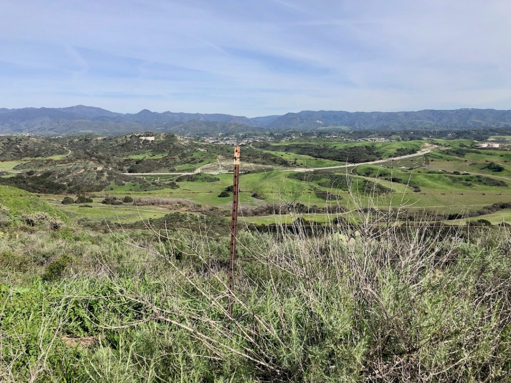
This hike to Ladera Ridge takes you up about 500 feet in gain, where you can take in breathtaking views from the mountains, all the way to even Catalina Island.
My hike began at Founders Park in Ladera Ranch, about two blocks from the trailhead on Antonio Pkwy. The parking there is free, but note the bathrooms require a community issued card to enter. Who knows…someone may let you in, but otherwise plan accordingly.
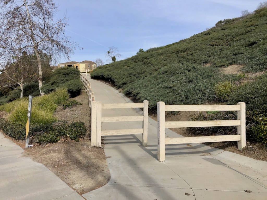
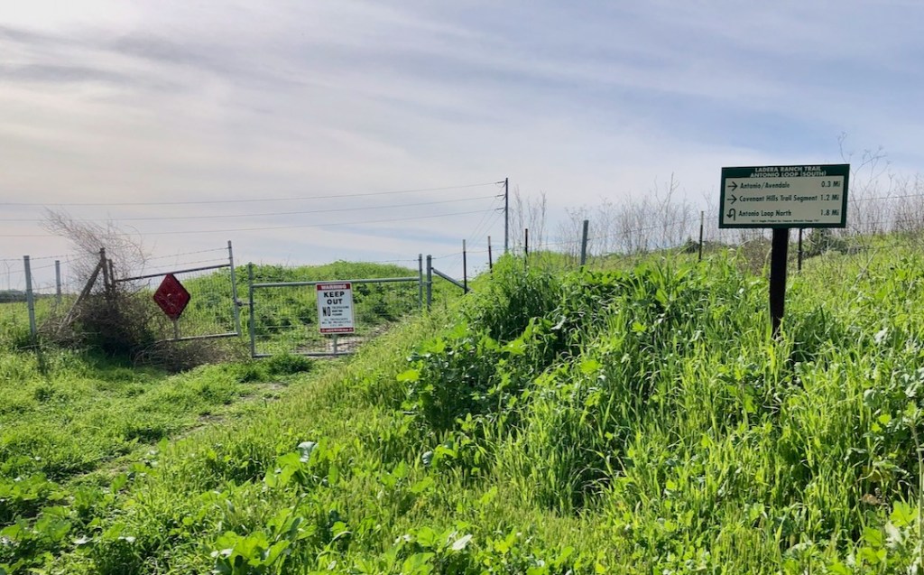
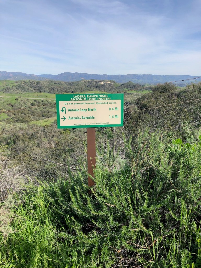
You have several options depending on how short or long a hike you desire. You will hike towards a water tower, which sits above a large shopping plaza. You can this trail juncture, descending to the plaza, taking Antonio Parkway back, or simply hike back the way you came for a total of 4 miles. You also might just continue the length of the trail to Oso parkway, and return the way you came, to add more miles.
Alternatively you may want to embark on an even longer hike, and hike in a loop down Oso, to the Arroyo Trabuco Trail, and on back. That might be about 9 miles. I have done this loop before, and I enjoyed it very much. There tends to be a lot of traffic in the way of bikes on weekends ther, so please be advised. Ladera Ridge will be the opposite, and mostly empty, which is one of its charms.
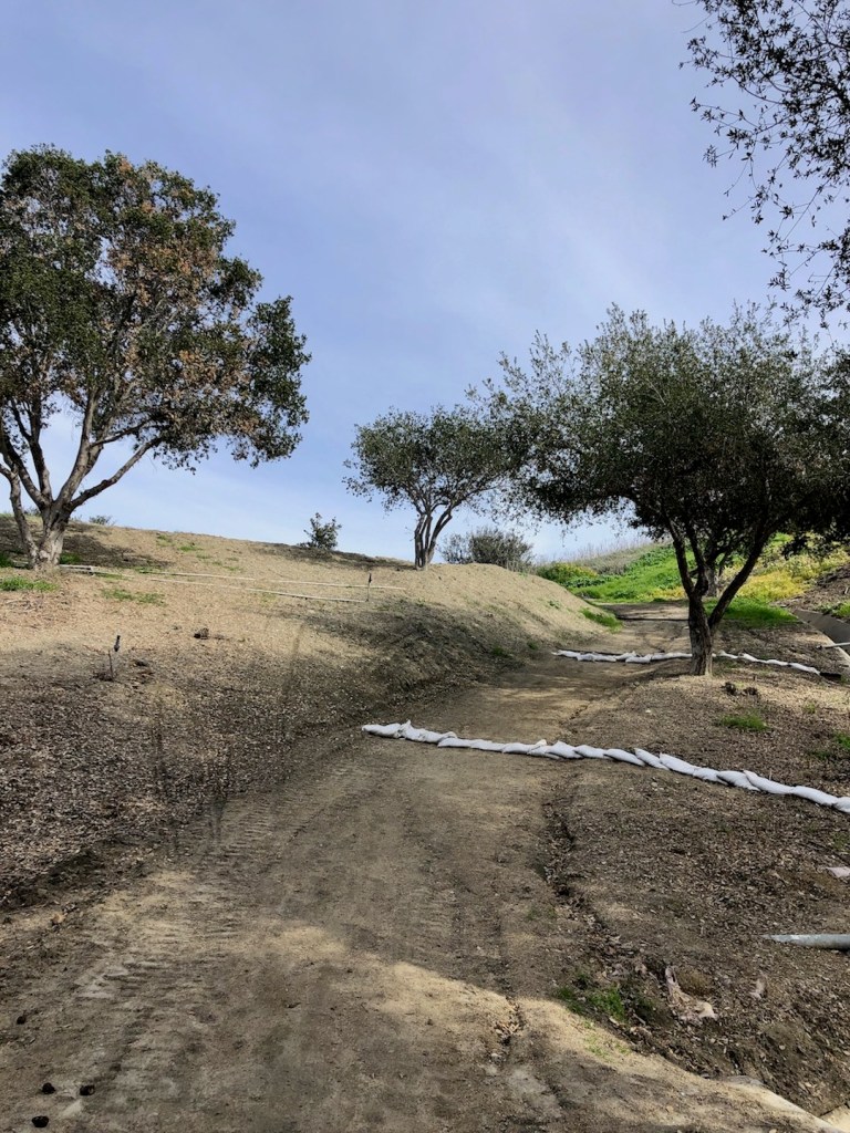
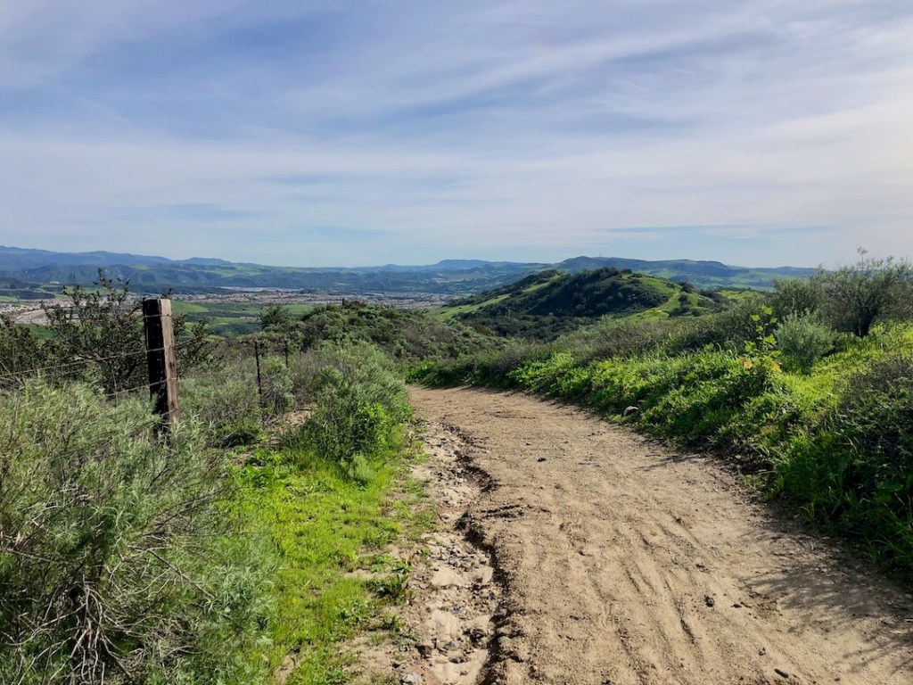
This part is a bit steep, but if that does not deter you, continue on.
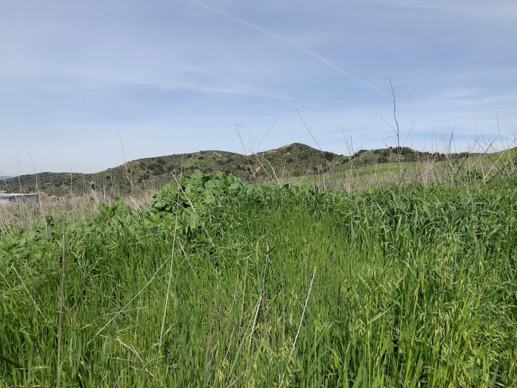
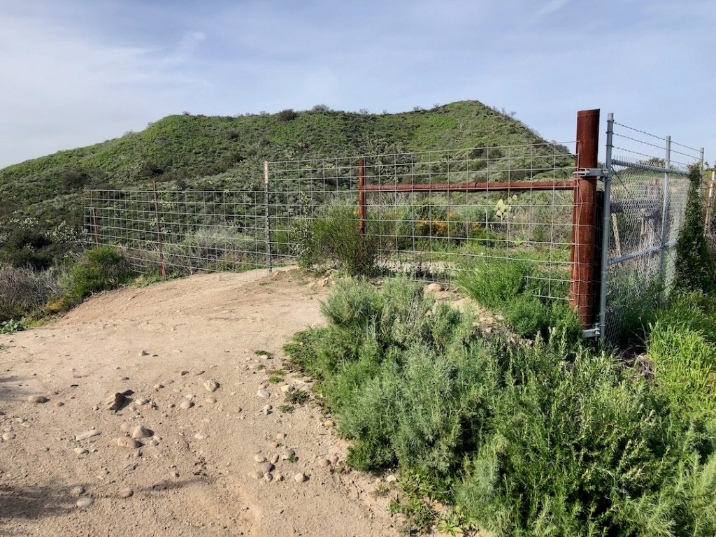
As you journey onward this hike over the Ladera Ridge, you will be passing through an old ranch, called Rancho Mission Viejo.
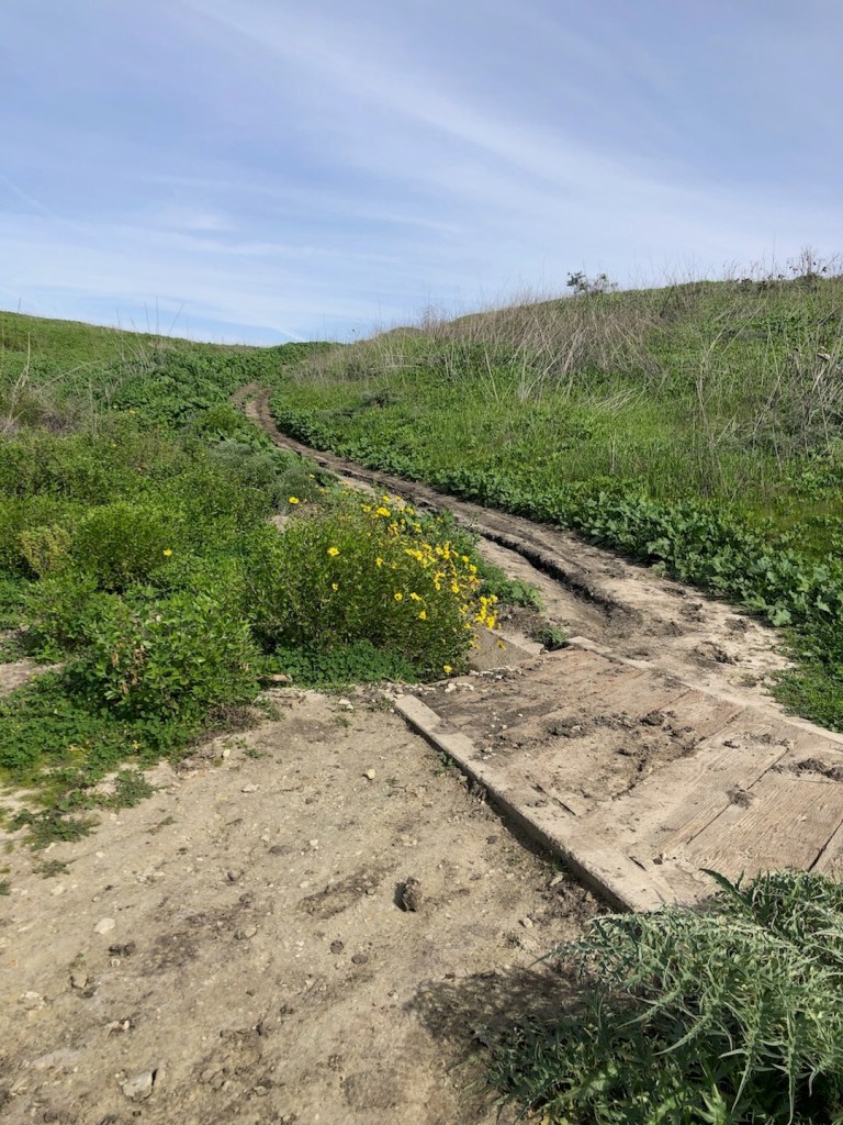
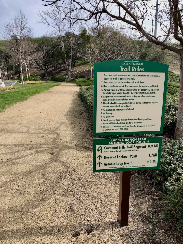
You will see yellow signs reminding you that it is also a nature preserve. You may even notice a truck parked somewhere, with employees of the ranch, doing trail maintenance as they frequently do.
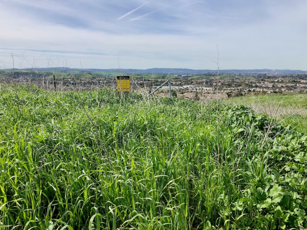
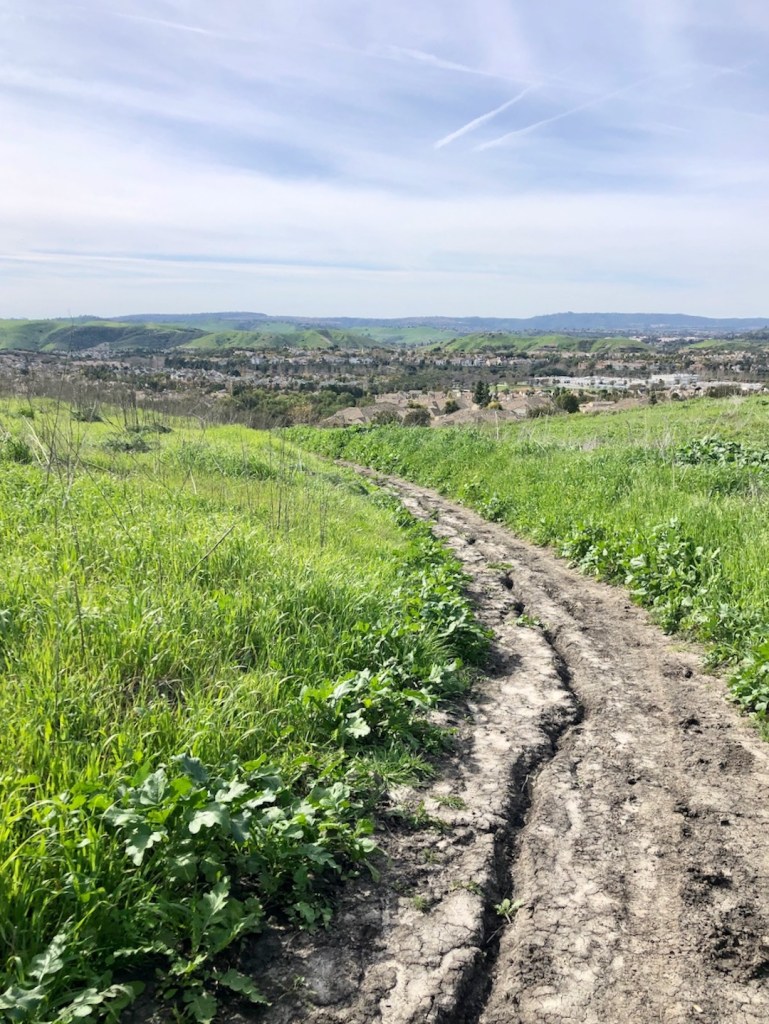
This trail skirts along the ridgeline above the town, offering views into Caspar’s Wilderness Park, and of the distant peaks of the Cleveland National Forest.

You’re not that far from civilization here, but you may have moments when you think you might be.
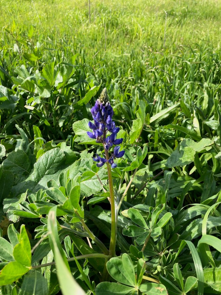
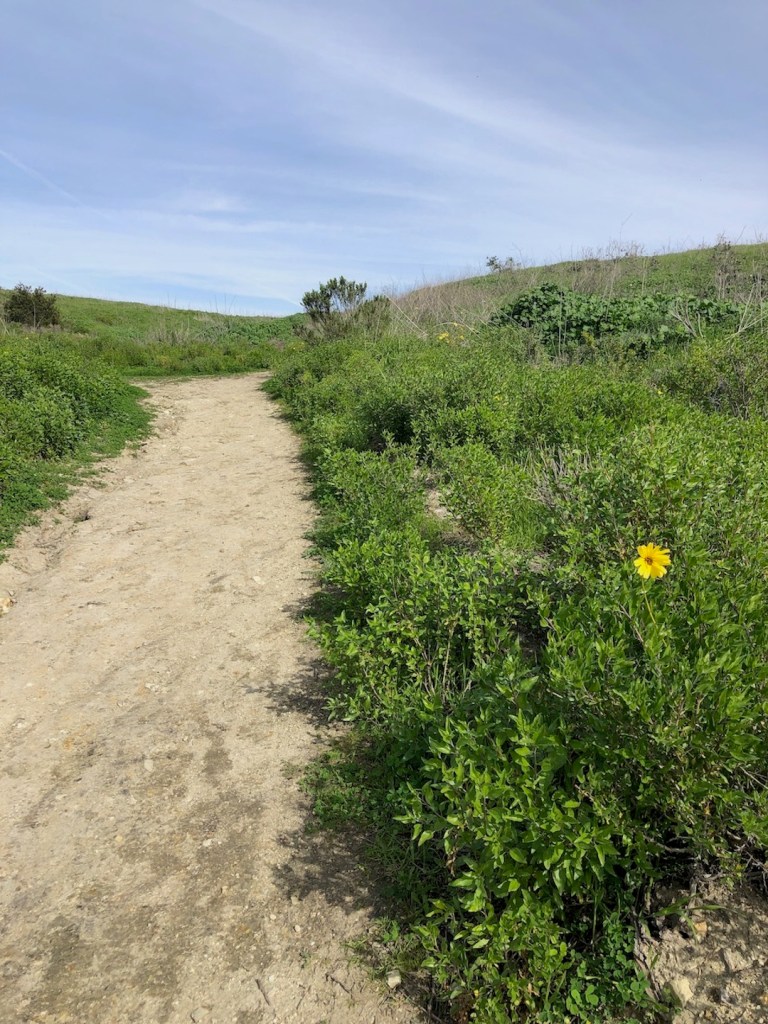
I noticed an abundance of blue violet bush lupines.
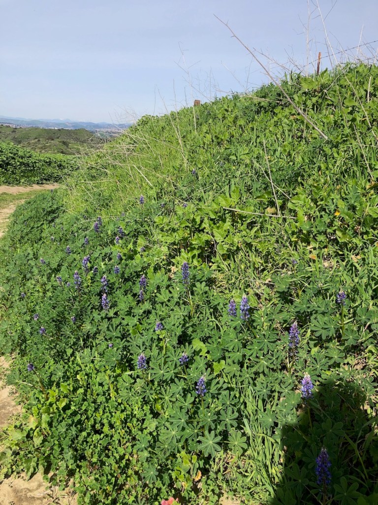
As I hiked up the ridge, I noticed that in February, the scenery is quite green. Young mustard plants are emerging, and spreading out over the trail.
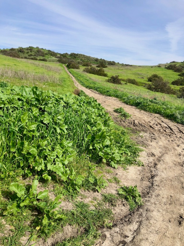
It’s not yet overgrown, which I like, since overgrowth gives the snakes a place to hide. I like being able to see as much trail as possible, and the wider the better for that reason.

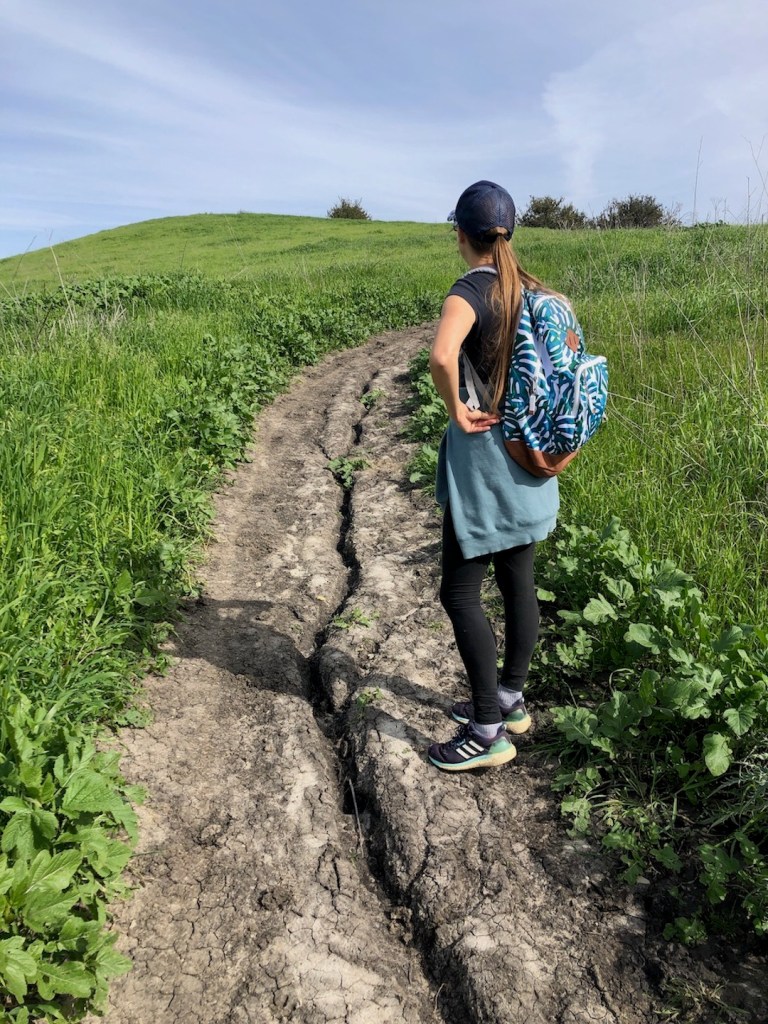
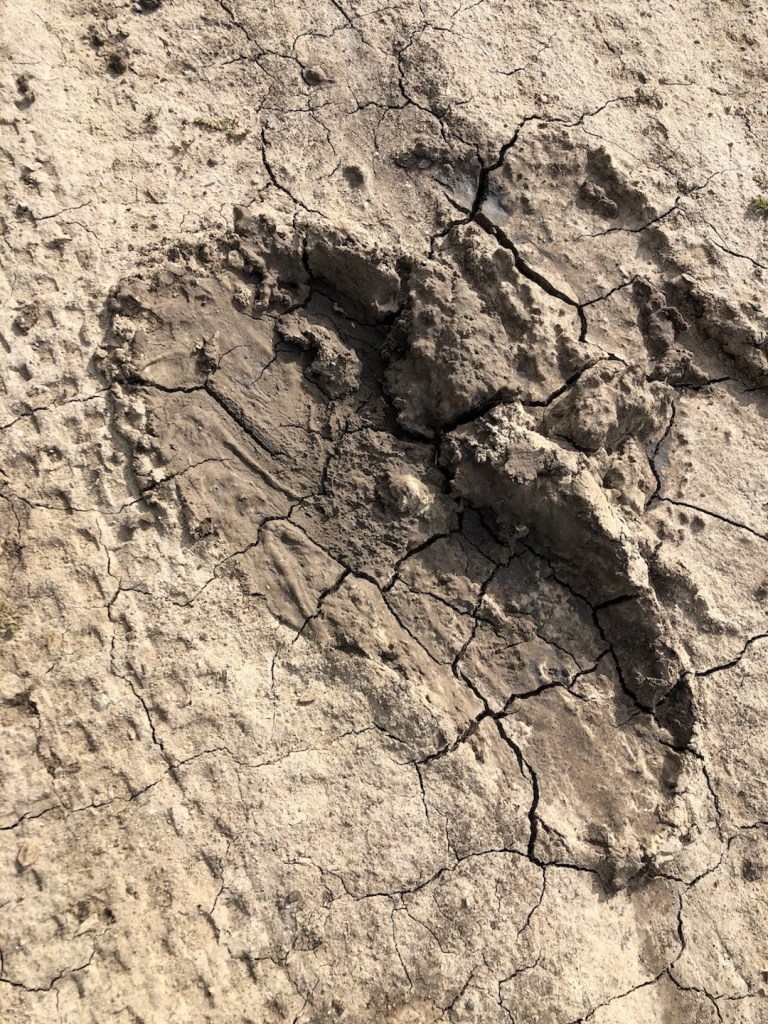
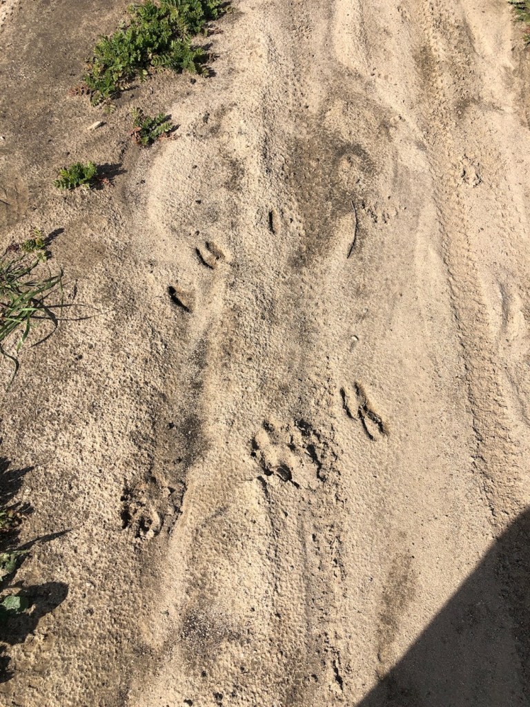
It has just rained and the trail has just dried out enough to make it passable. Some hikers apparently braved the fresh mud, and left evidence, with an abundance of footprints.
For this 4 mile hike, it would be out and back. I stopped at the trail juncture for Crown Valley Parkway, and turned back.
All in all, it was a lovely hike in the hills of Orange County. It’s one of the less trafficked, and underrated trails in the area, in my opinion. Though I did not spot many other hikers, my friend and I did spot a roadrunner.

In the mud we also saw deer tracks, and the tracks of some type of cat, either bobcat or mountain lion, based on the fact that there were no claw prints.
About the Ladera Ranch Area
Ladera Ranch is a beautiful 4,000 acre community of newer upscale homes located in South Orange County. It is bordered by Mission Viejo, San Juan Capistrano, and Rancho Santa Margarita to the north. The community began construction in 1999 in part of the 23,000 acre Rancho Mission Viejo cattle ranch.
This was the largest remaining working ranch in Orange County. If you live in Ladera Ranch your address will likely read Mission Viejo, since it does not yet have a post office or a downtown area to speak of.
A fun fact about Ladera Ranch, is that is has more baseball players per capita, than most other towns in the area. The area was first settled by Native tribes. Later the land came under the ownership of rancho families such as the O’neil’s, Avery, and Moiso Families.
People like Ladera Ranch since it has a low crime rate. It also boasts a high walk score. It’s fairly close to the beach, has several parks, and top rated schools. The historic downtown area of San Juan Capistrano with its mission, is close by, as are several wilderness parks. In addition, the toll road has just recently been extended to the Essencia neighborhood nearby, making commuting from this far out a bit less painful.
About Me
I’m Serafina! I’m a writer and California girl who loves to go exploring. Hope you will get outside today, breathe some fresh air, and be happy!
Follow my Journey…
Be sure to Like and Subscribe to My Youtube Channel where I post videos!
Disclaimer: The work on this blog is my opinion and my opinion alone and I am not responsible for the outcome if someone were to apply these thoughts to their own life. All text and photography copyright 2021-2023 by Serafina, all rights reserved. Information and opinions provided are kept current to the best of the author’s ability. All readers’ usage of the ideas and opinions presented in the blog, are at their own risk. Be aware of the possible dangers of hiking, surfing, walking, cooking, and other activities, which may take place indoors or outdoors. By reading this, you agree not to hold the author or publisher of the content on this web site responsible for any injuries or inconveniences that may result from reading the blog, or partaking in any activity mentioned in the blog. Read the blog, and use its ideas, if you so desire, at your own risk.
