I had been waiting for winter storms to roll through socal, that were intense enough to produce enough rain, to get the waterfalls in the mountains flowing, and warrant a 9+ mile hike to Chiquito Falls, which means little falls. It is called this, since it is not a large waterfall by any means, but usually flows at a trickle if at all.

Why Hike to Chiquito Falls?
So why then should you hike to a waterfall like Chiquito Falls? It is worth a trip, simply because it is a beautiful untouched wilderness area that is usually very uncrowded. There really isn’t a reason not to go hiking in the Santa Ana Mountains along Ortega Highway, near Lake Elsinore.
A hike to Chiquito Falls often leaves you empty handed, since it only flows right after a big rain. So if you want to catch it flowing, you just need to go right after a big rain. Several days to a week of rain is when you have the best chance to see these rarely flowing falls.
One thing to note about the hike to Chiquito Falls is that it is less technical to reach it than other waterfall hikes, while being longer, with more elevation gain. I hike here does not require Class 2+3 scrambling over large boulders, such as in Black Star Canyon.
Water Crossings
Some waterfall hikes require constantly getting your feet wet, such as at Eaton Canyon Falls, but Chiquito Falls has minimal water crossings. The level of the water could vary, depending on recent storms. My shoes stayed dry crossing the creek, but the conditions could be different when you visit here.
Parking
The trailhead located along Ortega Highway, has a large parking area, and pit toilets. It is located across the street from the Ortega Oaks Candy Store. You will need a wilderness pass to park there. Otherwise, I have seen cars parked along Ortega Highway, by the Bear Valley trailhead, that did not seem to experience any issues.
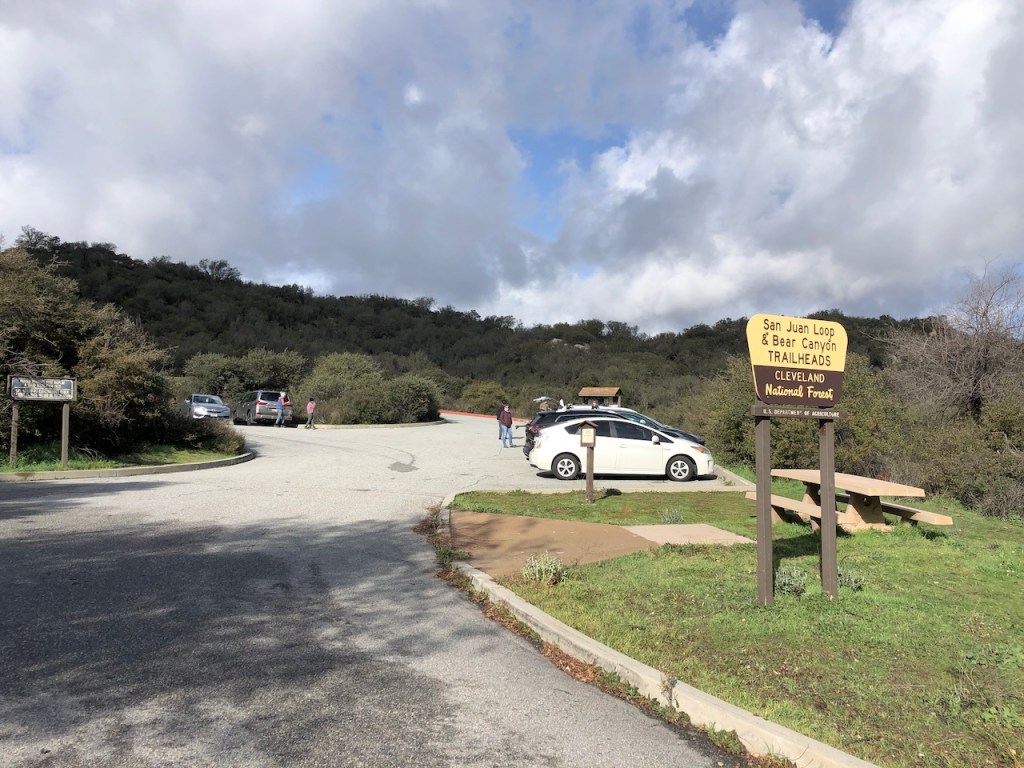
There are no signs stating you cannot park there along the highway. I have a wilderness pass, and you plan to visit multiple wilderness trailheads, it saves you from worrying about being ticketed. They sell them at the store there, and at REI.
The Trailhead
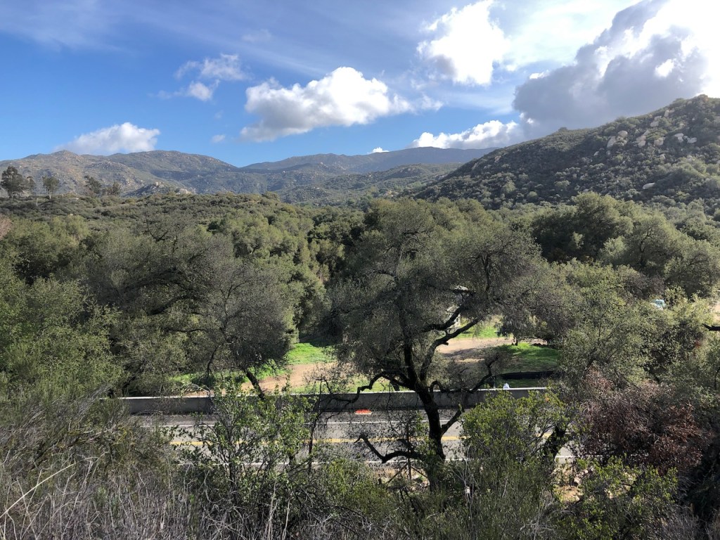
You begin the trek to Chiquito Falls on San Juan Trail, which is in itself a beautiful 2 long mile loop trail, through a canyon, and oak forest, crossing a stream, and passing by San Juan Falls. I would rate it as an advanced beginner hike, due to the change in elevation into the canyon.

The hike to Chiquito Falls is a single track trail most of the way, with at least two water crossings. The trail has more gain that San Juan Loop, and is much more strenuous. So if you begin hiking San Juan Loop, and are starting to feel it, you can always just continue back to the parking lot.
At the trailhead there is a general map of the area, and if you did not bring a map, you could take a photo of it. The trail proceeds up Decker Canyon past Long Canyon, along San Juan Trail.
San Juan Falls
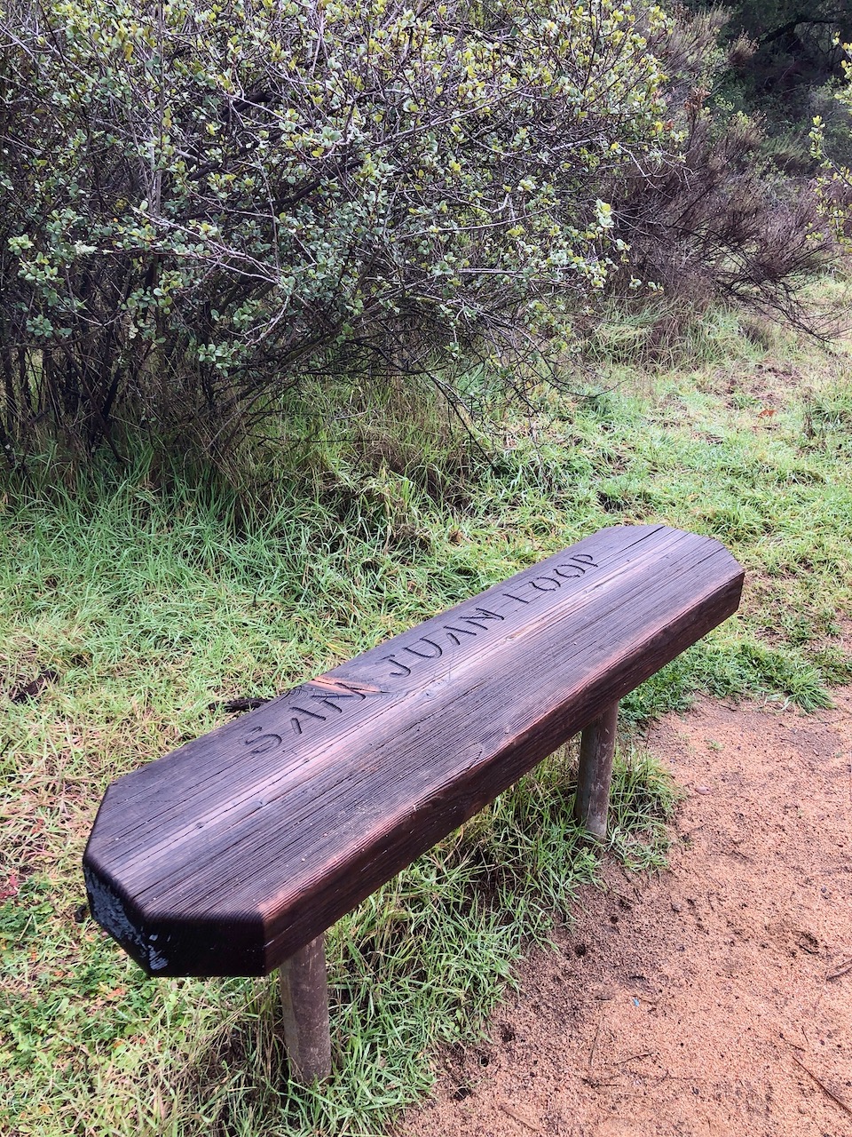
You will notice the rocky, and usually dry San Juan Falls off to the right, after just a few minutes down the trail. There is an overlook and bench here. You have the option to hike down into the falls area, to get a closer look.
At the time of my visit, San Juan Falls was flowing well.
This was a good sign of things to come, that Chiquito Falls might be flowing.
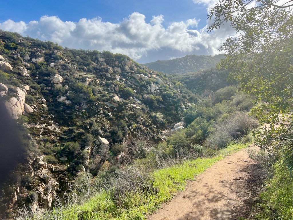
The trail then proceeded down a series of switchbacks into a canyon.
I could hear the water flowing along the way.
There did appear to be another waterfall through the brush, which I could hear, but is not visible from the trail.
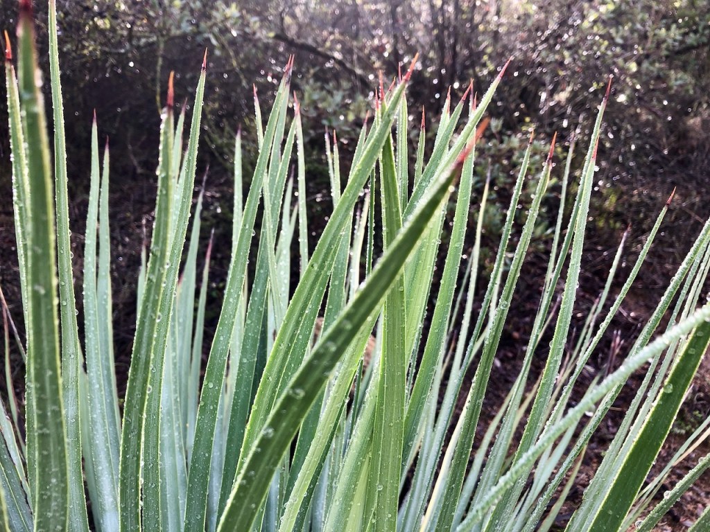
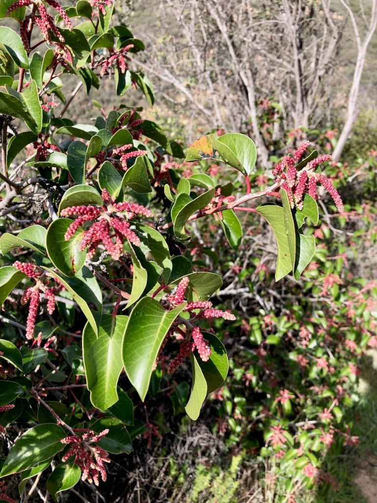
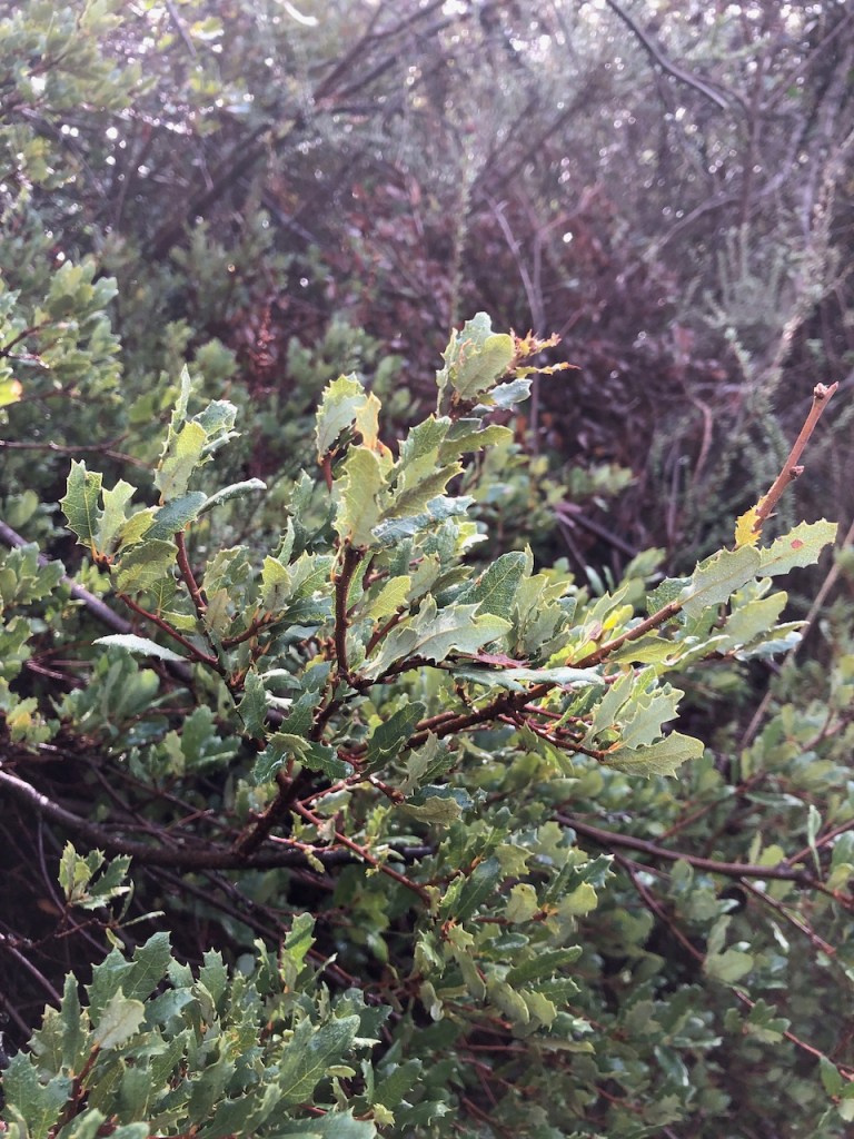
Native Plants
Along the switchbacks heading into the canyon, everything was covered in dew, from the early morning marine layer.

An Oak Forest
Eventually I came to San Juan Creek, and made my first water crossing.
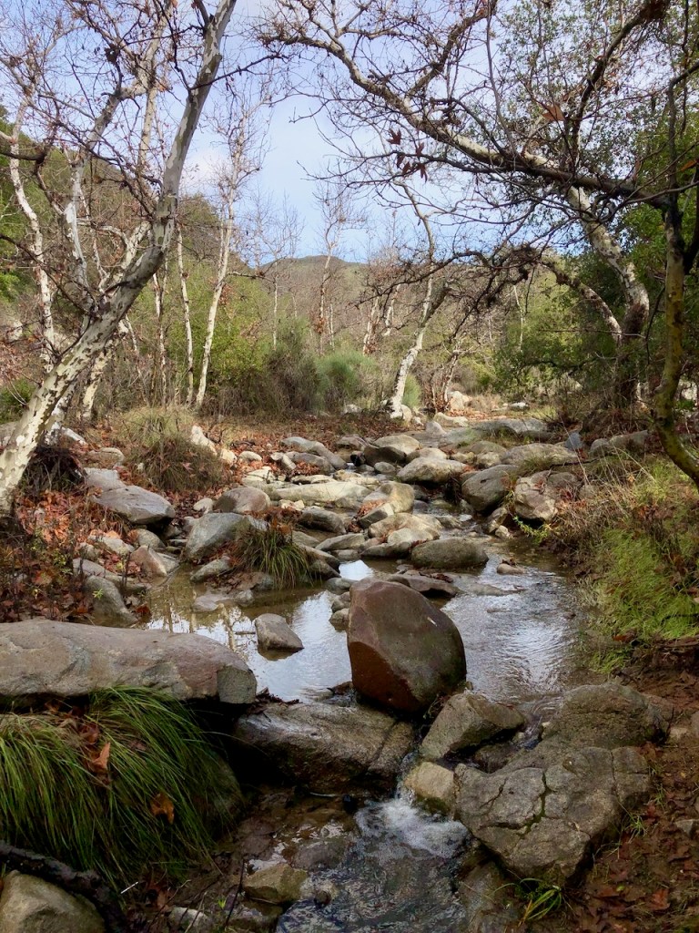
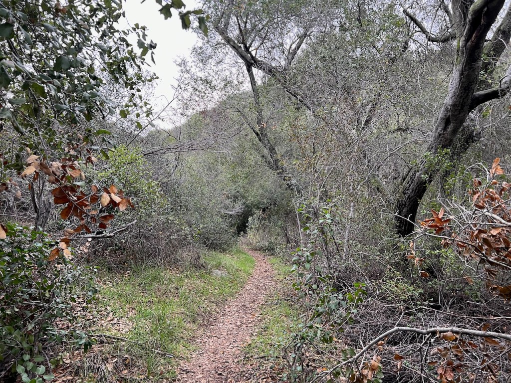
The area became more wooded, and shady, with oak trees.

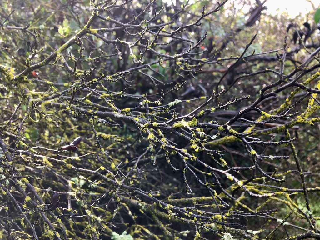
Some of them were covered in moss.
This would be a great place to stop awhile, and lay out a blanket, for a picnic in the shade of the oak trees.
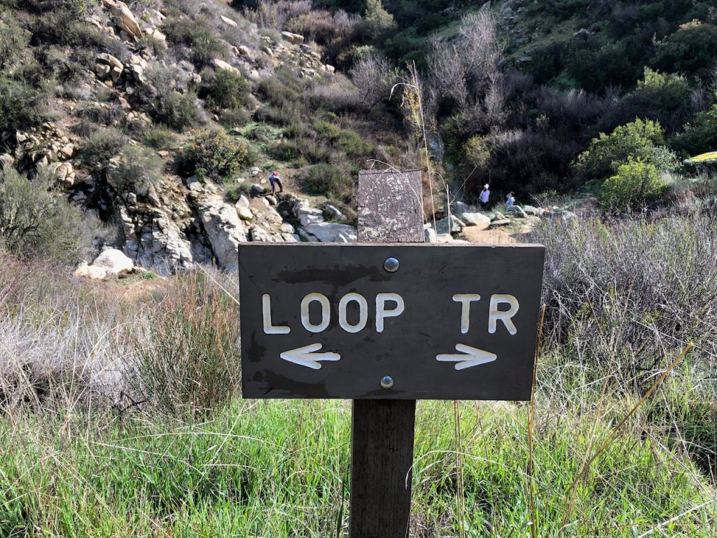
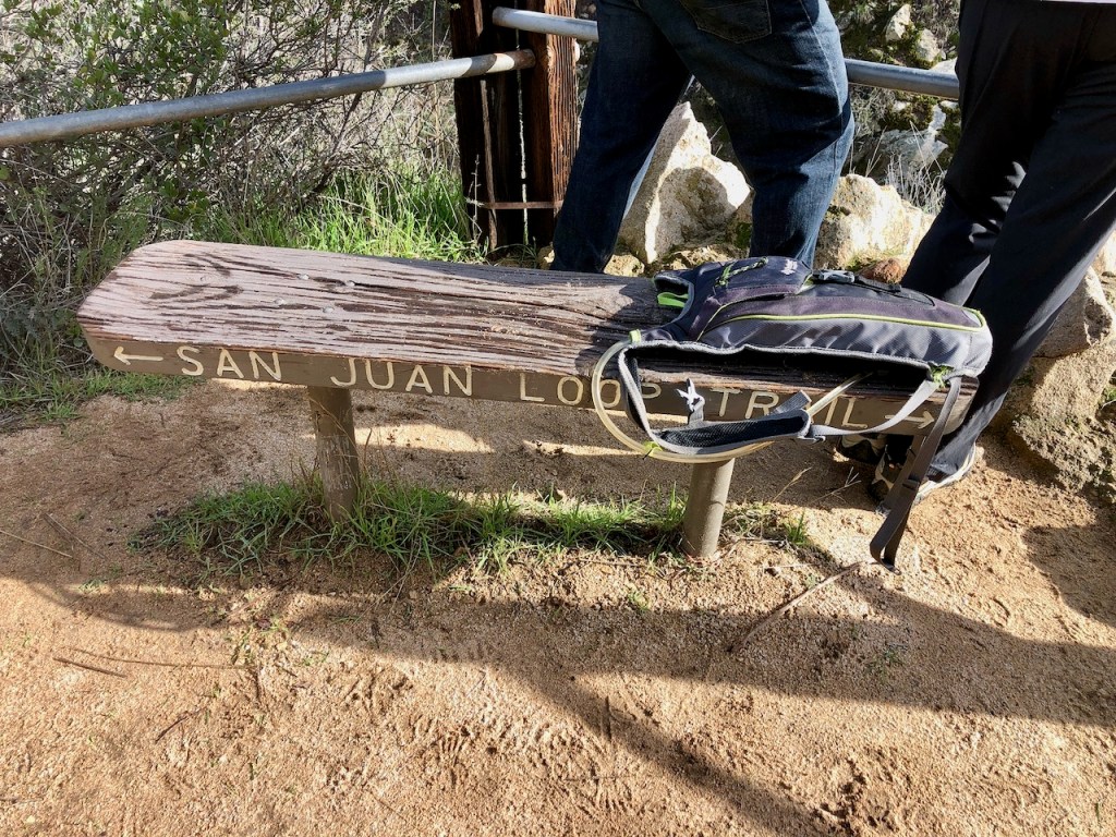
I continued on down the San Juan Loop Trail, eventually reaching a bench, and a sign for Chiquito Falls Trail.
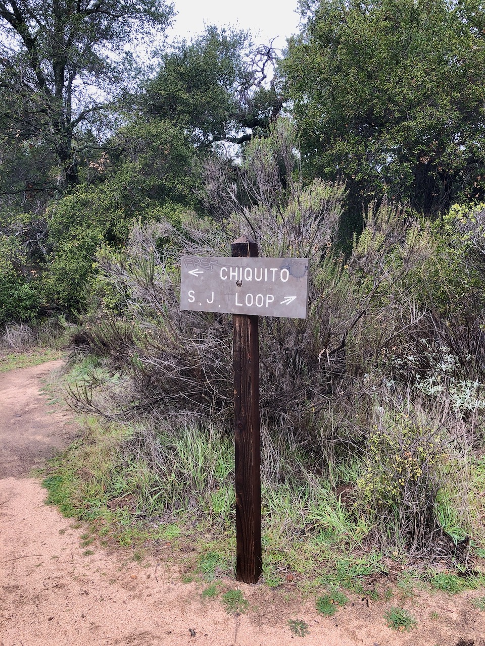
I would make a right at this sign, and almost immediately make a second creek crossing.

After walking briefly through the forest, I made my way into a canyon, where it was much more sunny. There was also some water flowing off to the left, in a tributary, but not a lot.
I stumbled upon a many different mushrooms, and fungi, growing along the trail.
The Warmth of the Canyon
Continuing through the canyon, I felt the sun radiate off the canyon walls a bit, warming me up on what began as a chilly morning.
But it was only sunny for a short while though. I came to the first large switchback, where the trail begins to climb steadily higher. There was another water crossing, here, but it was just a trickle.
Clouds Roll In
The storm clouds seemed to be approaching, and there was a slight chance of rain. The wind began to blow, and it all felt a bit ominous, as if I might possibly get soaked.
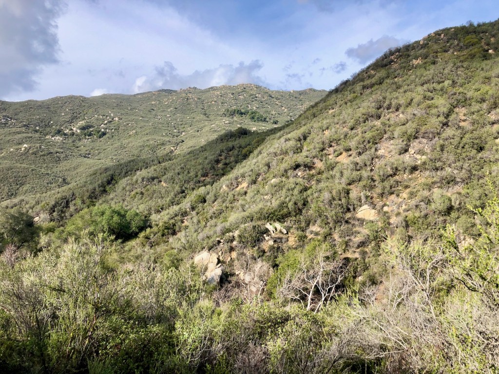
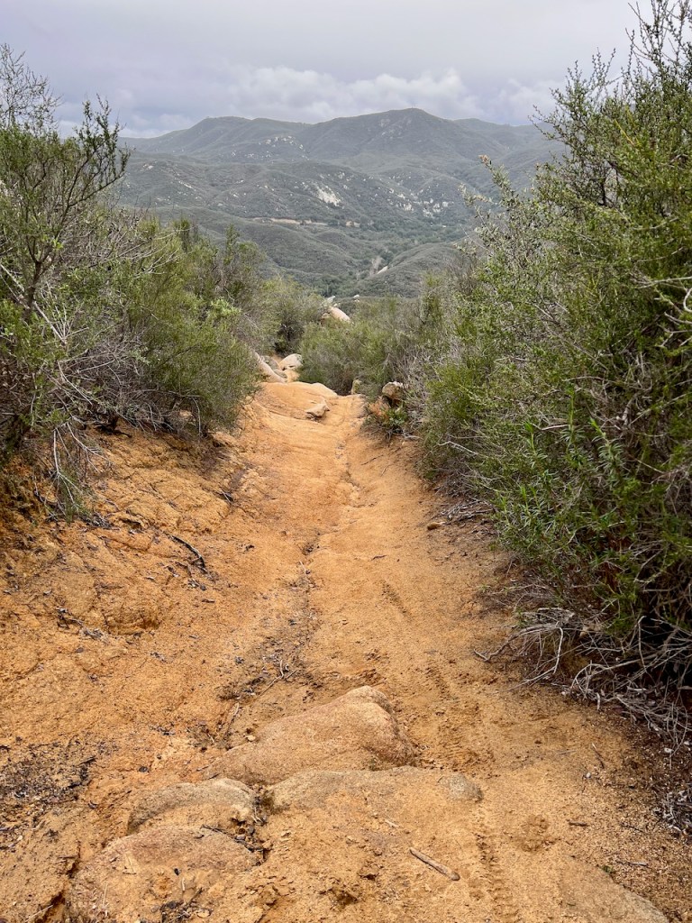
The Terrain
The trail up the hillside was rutted, and damaged in some areas on this stretch, likely due to rain. There was lots of evidence of mountain biking here, and tire marks. Shortly after, two mountain bikers passed by.
Later on, I spoke to them, and they mentioned how they had to fix the trail (in such a way to make it ride able). I am guessing they meant the trail crew that maintains them. What’s good for hikers, may not suffice for mountain bikers. That would explain the odd large rock placed here or there on the trail.
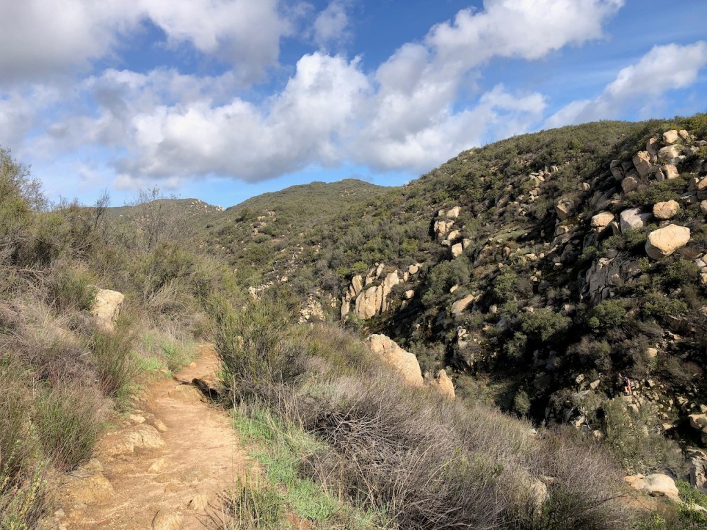
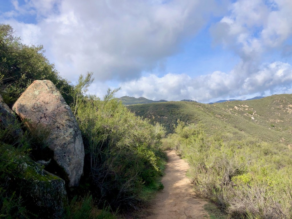
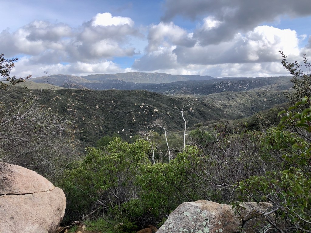
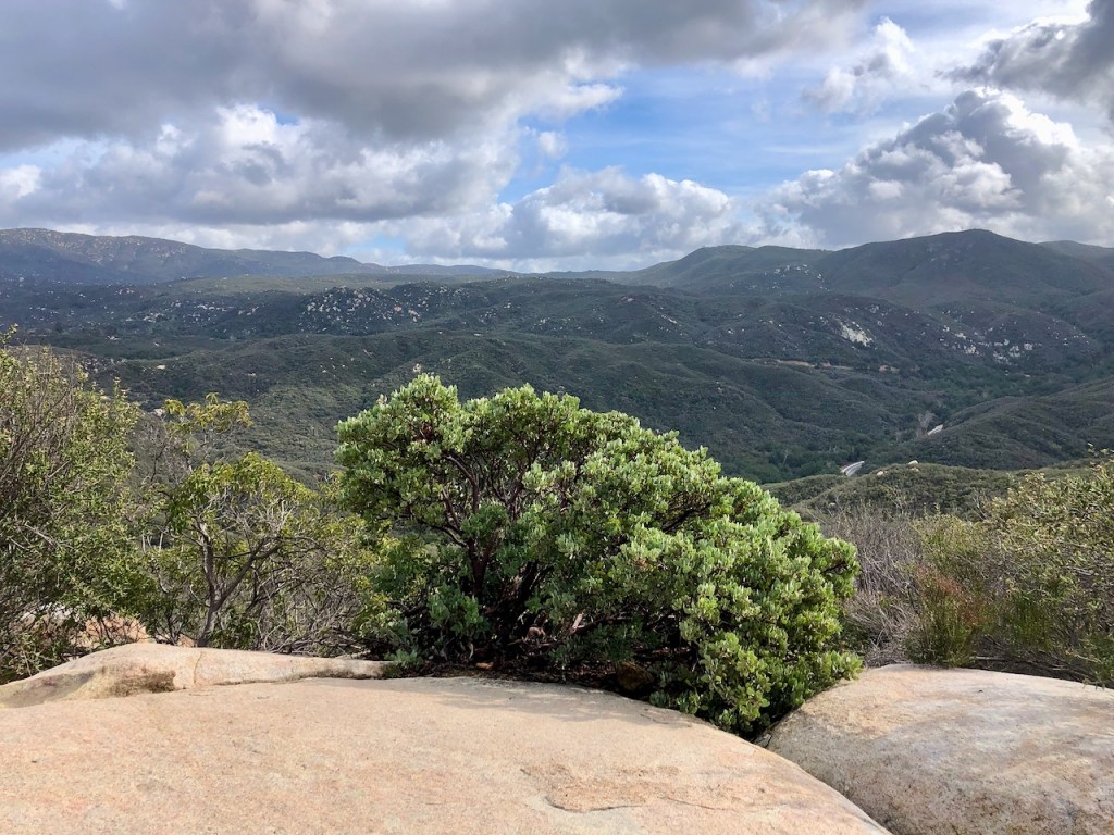
The Ridge
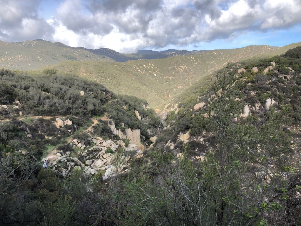
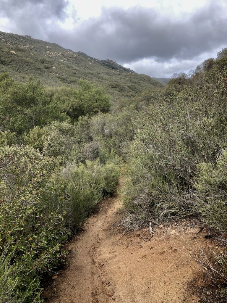
I eventually reached the ridgeline, and was able to gaze out at the surrounding area. There was an abundance of monolithic boulders throughout this stretch of wilderness.
The falls are located just beyond the ridge, tucked away in Lyon Canyon. After about a half mile, I was able to spot Chiquito Falls in the distance.
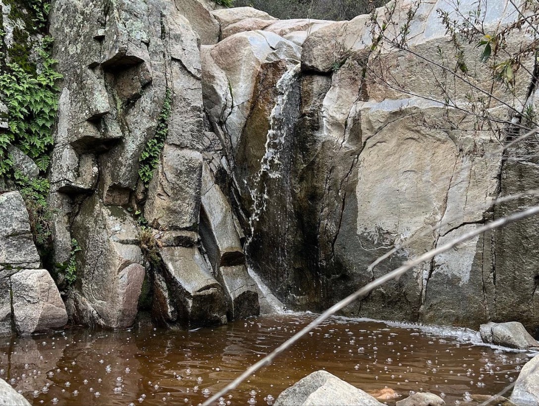
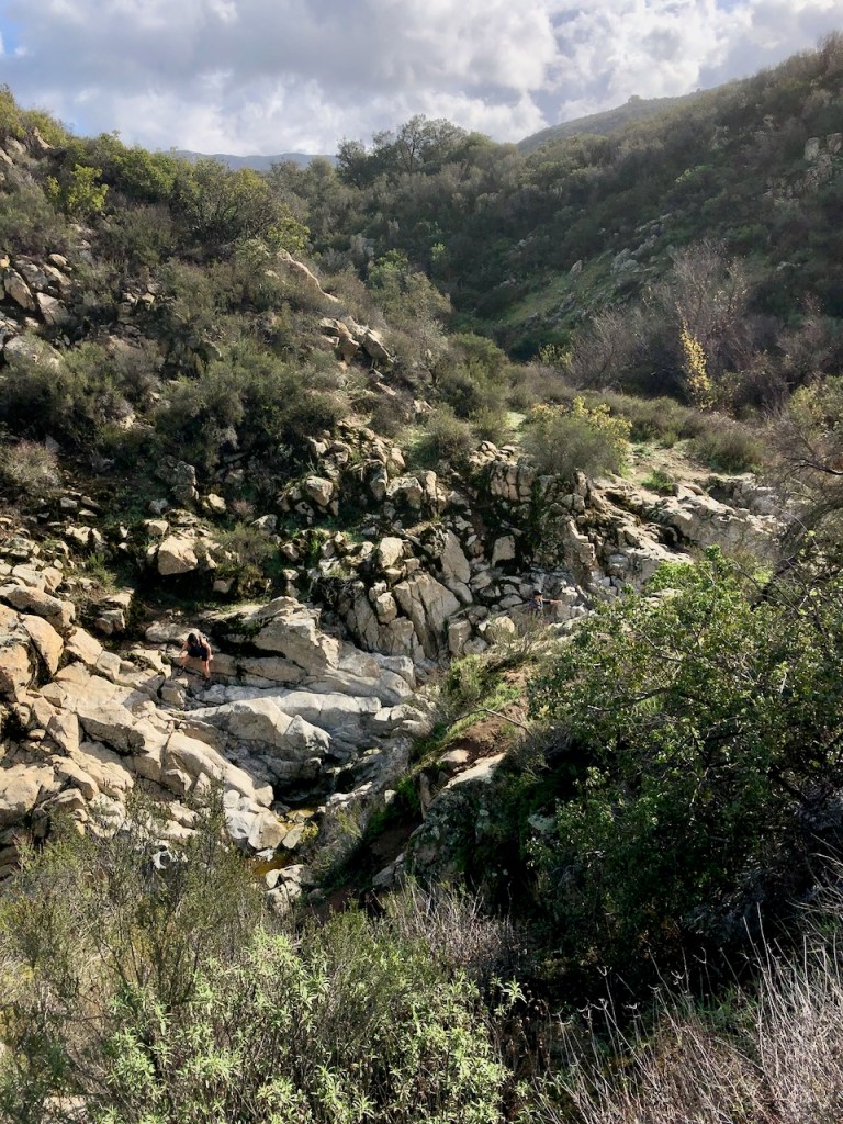
Chiquito Falls
Once at the falls, I notice several dynamic large boulders, and a bit of canyon you must climb down into, if you wish to stand beneath the falls.

The access to seeing the falls from the top or sideways, is easy, since you simply walk up. This is the opposite of the approach on most waterfall hikes in LA and Orange County, which usually end in a box canyon, with no easy or safe way to check out the top.
I spent about 30 minutes here checking out the falls, and climbing down the boulders to see the falls from below. I would not rate this part as easy, but as Class 2+3 scrambling. This is something that is completely optional, and not recommended, so proceed at your own risk.
The trail continues higher into the hills, on to Blue Jay Campground. You may see other hikers, or mountain bikers coming from that direction. On this particular day hiking here in the hills, I saw very few people.
How Long Will It Take?
This hike could take most of a day, depending on how fast you hike, how many stops you make, and how long you decide to stay at the falls. It is close to 10 miles roundtrip.
The Santa Ana Mountains are a place of natural scenic beauty, peace, and tranquility, where you can truly find some solitude. So if you love trails less traveled you may want to make a trip to visit Chiquito Falls.
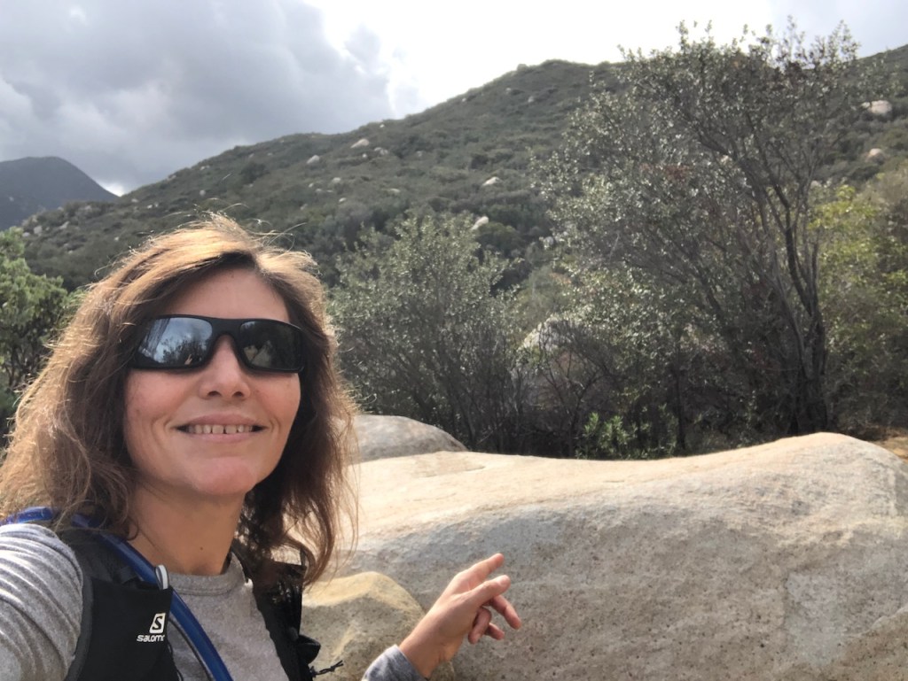
About me
I’m Serafina! I’m a writer and California girl who loves to go exploring. Hope you will get outside today, breathe some fresh air, and be happy!
Follow my Journey…
Be sure to Like and Subscribe to My Youtube Channel where I post videos!
Disclaimer: The work on this blog is my opinion and my opinion alone and I am not responsible for the outcome if someone were to apply these thoughts to their own life. All text and photography copyright 2023 by Serafina, all rights reserved. Information and opinions provided are kept current to the best of the author’s ability. All readers’ usage of the ideas and opinions presented in the blog, are at their own risk. Be aware of the possible dangers of hiking, surfing, walking, cooking, and other activities, which may take place indoors or outdoors. By reading this, you agree not to hold the author or publisher of the content on this web site responsible for any injuries or inconveniences that may result from reading the blog, or partaking in any activity mentioned in the blog. Read the blog, and use its ideas, if you so desire, at your own risk.
