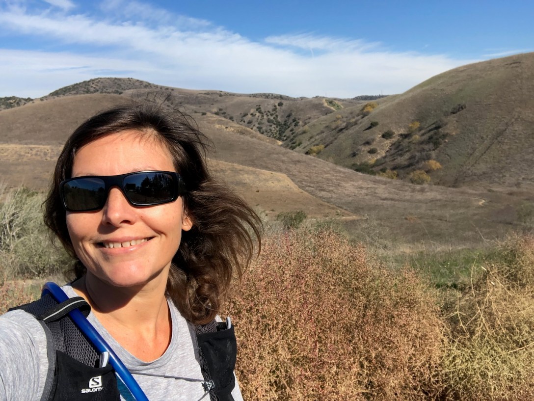
It was a sunny fall day when I arrived at Chino Hills, to hike Diemer Trail. This was a different trail, which lies along the western edge of Chino Hills, than I had been to on previous trips to Chino Hills.
This is the same trailhead for several different routes through Chino Hills. I began my hike from the end of Rimcrest Drive in Yorba Linda, where I parked along the side of the road.

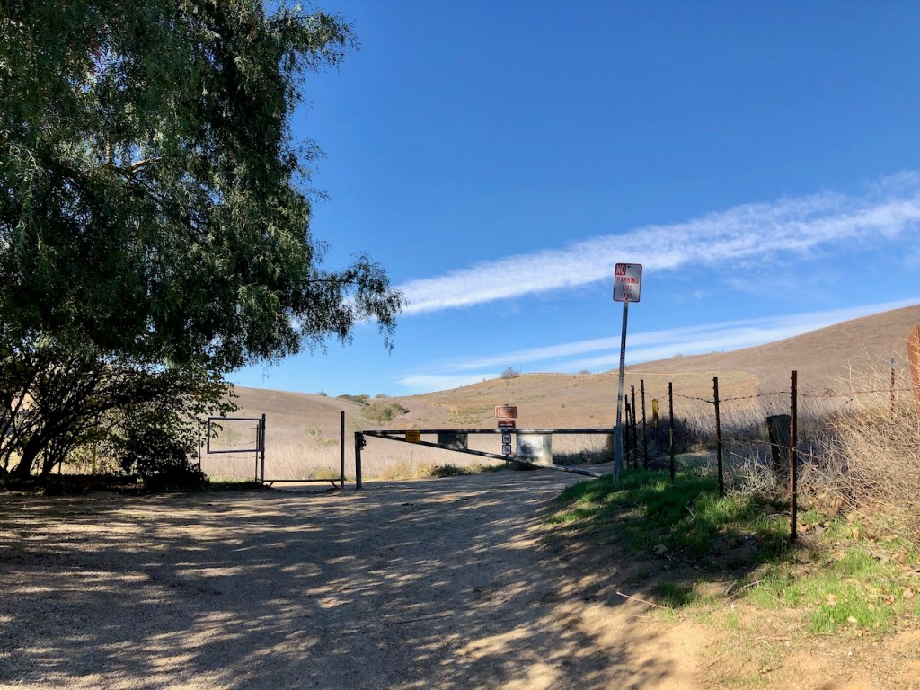
There is a small entrance gate here that was open. There is also a trail marker and sign, showing you your choices of where to go, along with the hours.
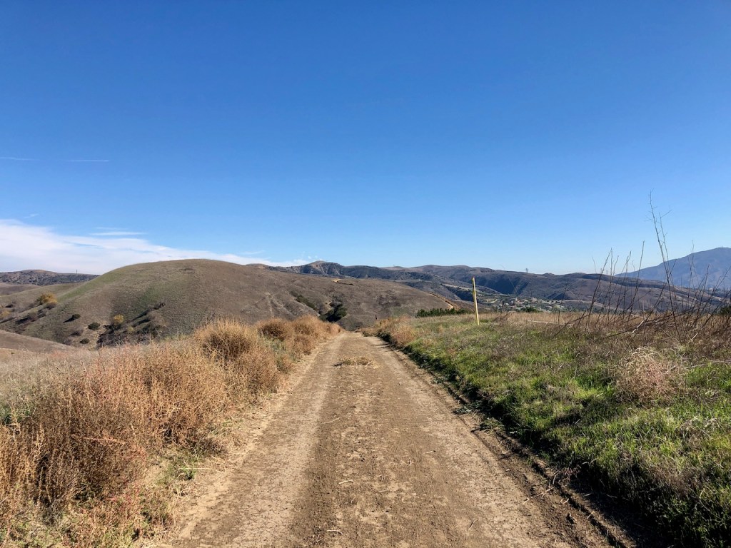
I went left on Diemer Trail, which immediately climbs up a steep hill.
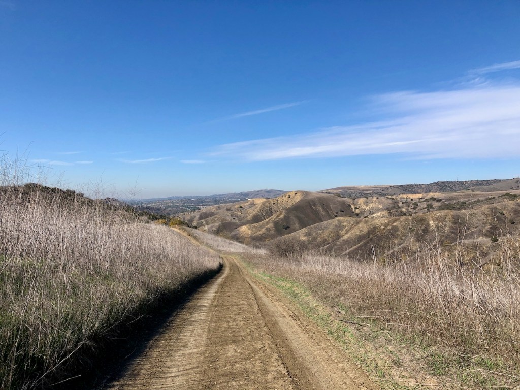
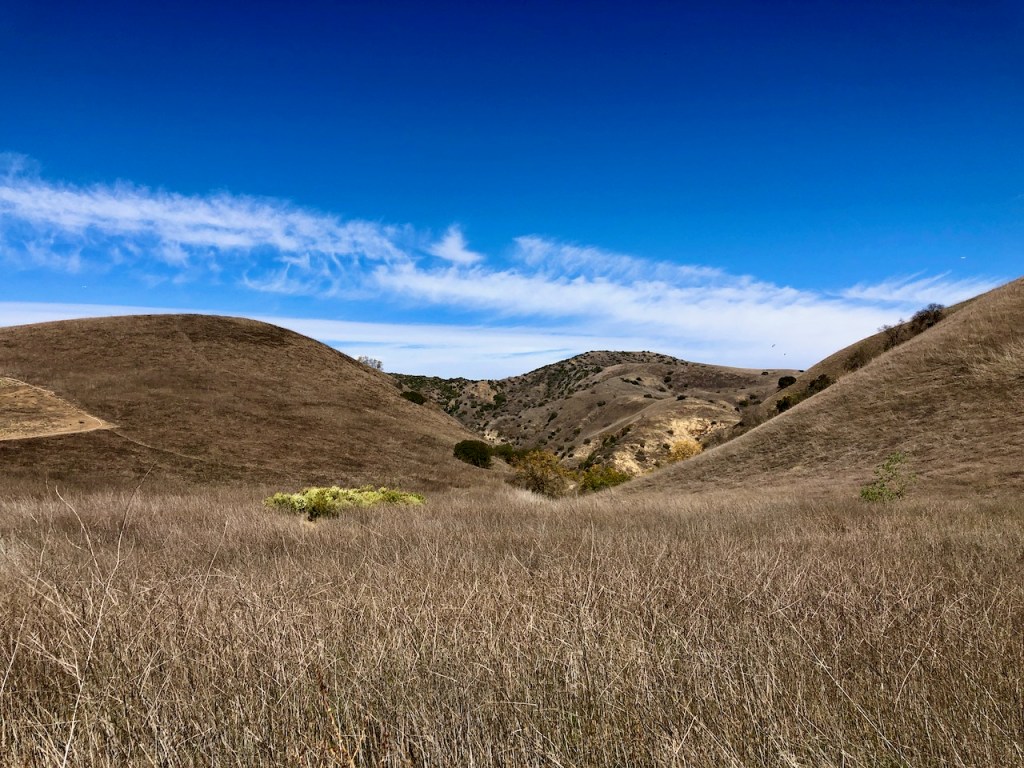
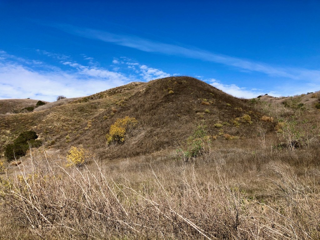
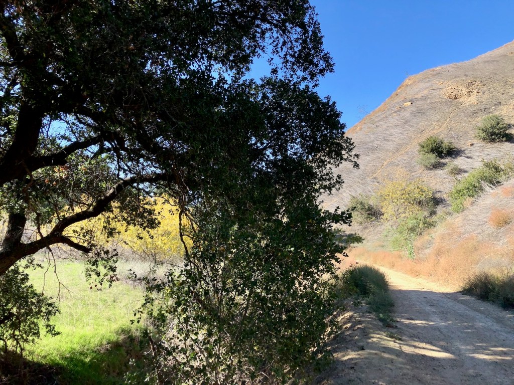
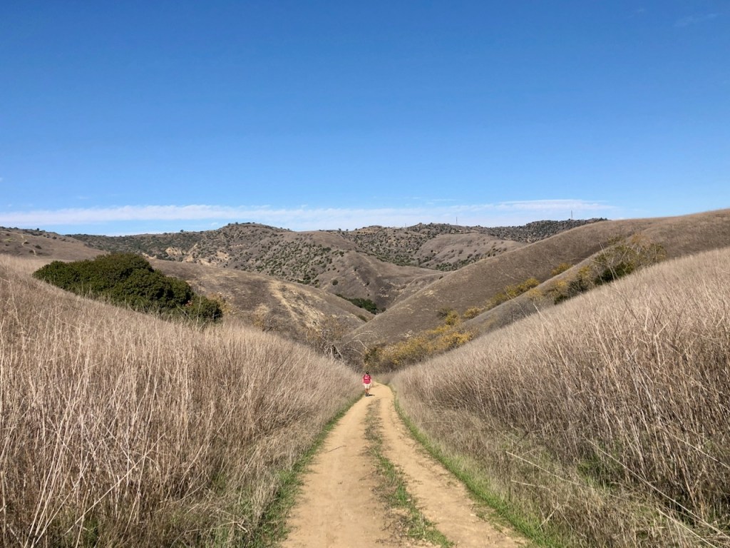
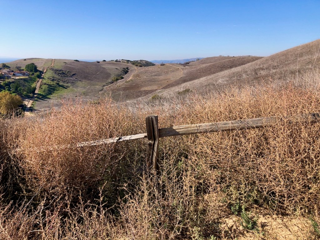
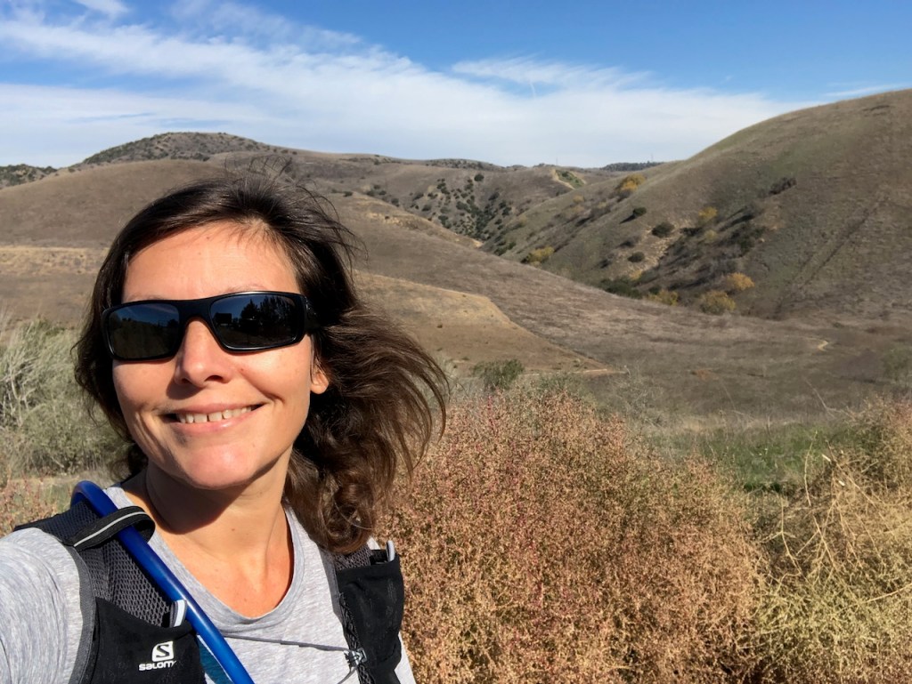
The wide open expanse of Chino Hills was dry and parches, in late fall. The trail was wide and flat along the way.
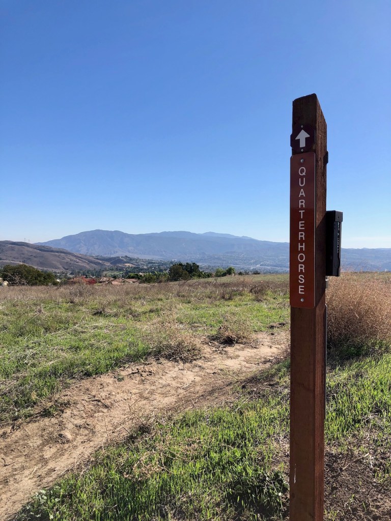
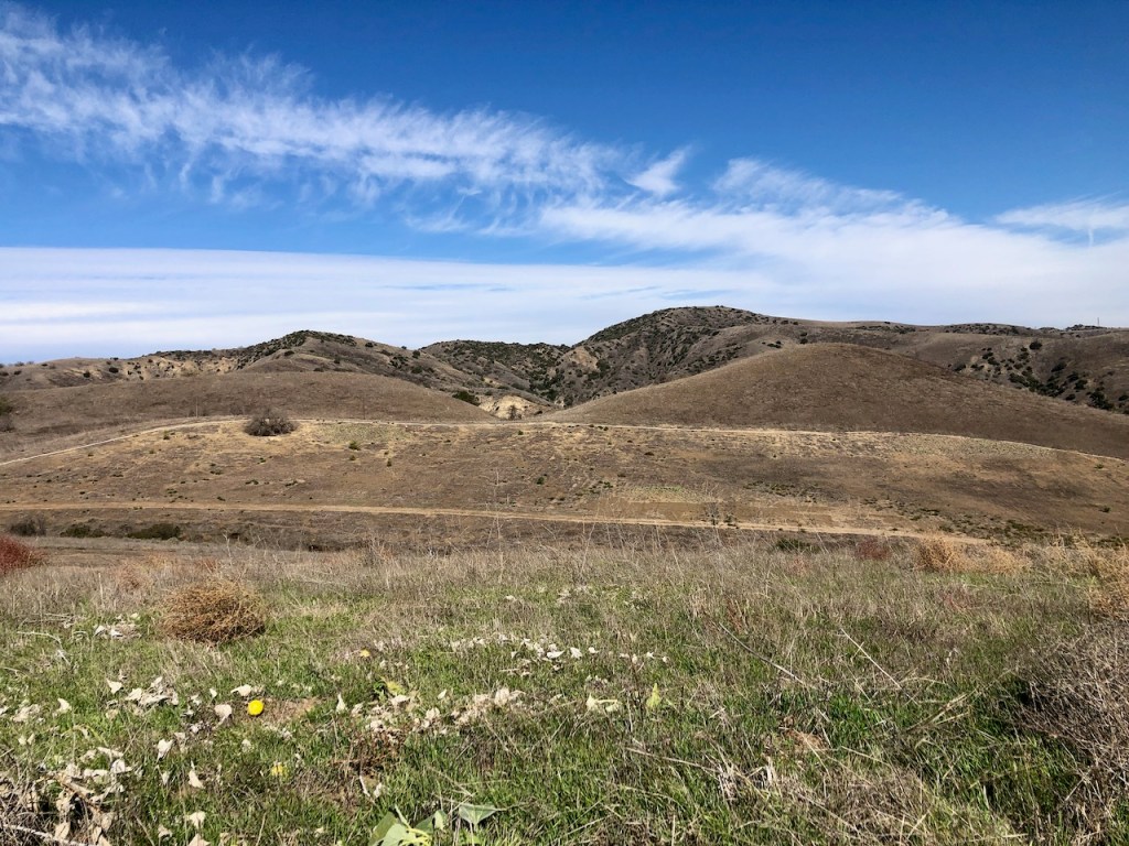
I took the Diemer Trail on past Quarterhorse Trail to Telegraph Canyon Road.
Then I proceeded right on Telegraph Canyon Road, which I would hike until reaching a fork in the road.
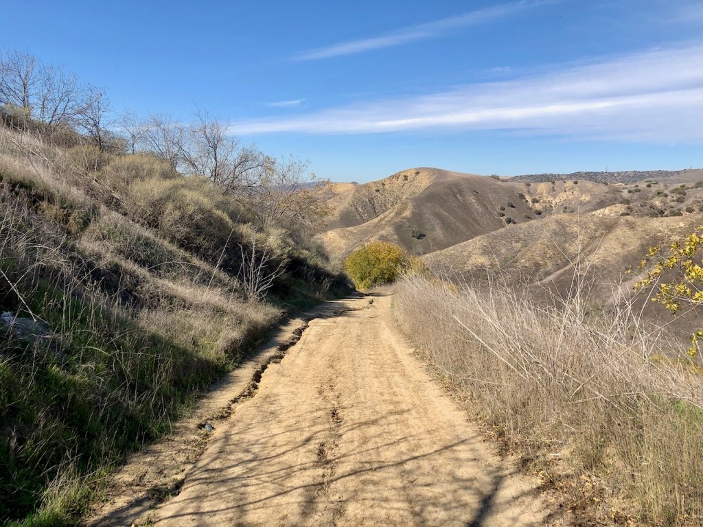
I continued hiked down into the valley below, via several switchbacks.
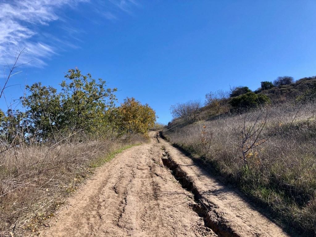
This part was rather steep and rutted, in need of a bit of trail maintenance.
Telegraph Canyon Trail felt warm, and inviting.
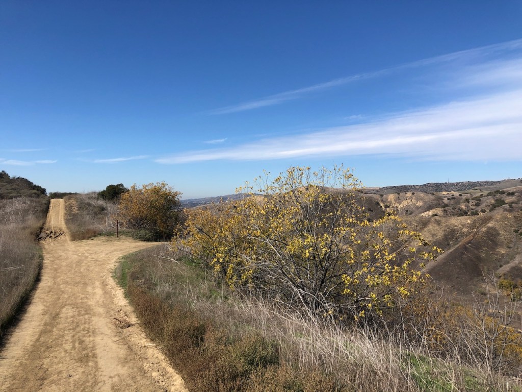
The sycamores were just starting to change colors. Fall was here!

I passed a toyon bush with it’s bright red berries.
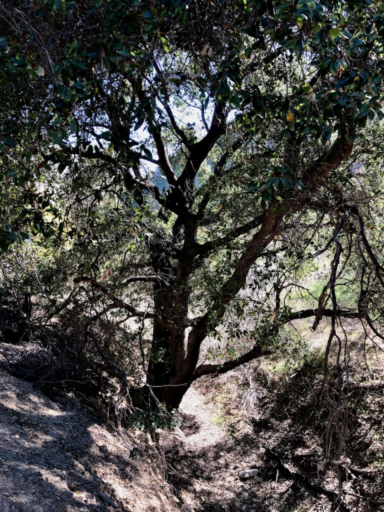
There was a small grove of oaks, in a seasonal stream bed.
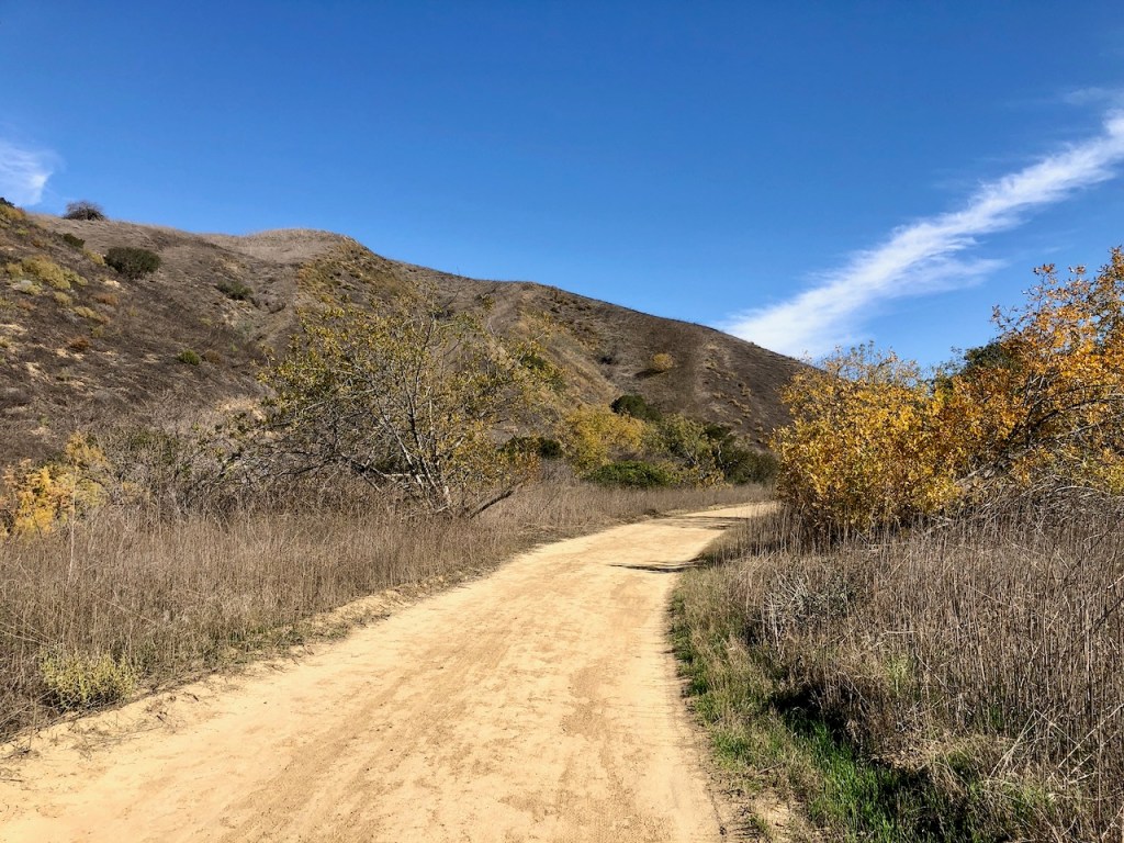
I was just about finished with my loop hike, and ready for the last big climb, up Little Canyon Trail.
I went right at the fork, proceeding up Little Canyon Trail, back to the South Ridge Trail.
Back to the Trailhead
At South Ridge Trail I made a right. I continued hiking up and down another series of hills. Eventually the trail descended back to the trailhead where I started. It was a 5 mile loop and took about 2.5 hours.
Conclusion
This was a fun yet short workout in nature, getting outside, breathing fresh air. As always, Chino Hills delivers, in terms of scenery, and solitude, though I was not alone on this one. Hiking is always better with friends.
About Chino Hills
This expansive park is 14,000 acres of rolling grassy hills. In spring, they turn a vibrant yellow as mustard comes into bloom. Occasionally, during superbloom, the hills will come alive in shades of orange, with the arrival of poppies. It’s tough to say you have ever seen everything in Chino Hills, with its 90 miles of trails.
The Tongva lived on this land for 10,000 years. Then the missions were established, and the land became a cattle grazing area. In 1948 the Rolling M Ranch was established, which has a campground today. There are over 200 species of birds, mammals, and reptiles who call this park home.
There is active oil drilling in the park, mostly on the South Eastern Water Canyon side. This drilling apparently started back in 1929 by the Urmi Oil Company. That is the least traveled part of Chino HIlls. There are also plenty of large gas lines throughout the park, and an abundance of yellow caution signs, warning you about it.
The park has a Discovery Nature Center on Carbon Canyon Road. Its open from dusk until dawn. You can read more about the park here.
Download an alltrails map here.
About me
I’m Serafina! I’m a writer and California girl who loves to go exploring. Hope you will get outside today, breathe some fresh air, and be happy!
Follow my Journey…
Be sure to Like and Subscribe to My Youtube Channel where I post videos!
Disclaimer: The work on this blog is my opinion and my opinion alone and I am not responsible for the outcome if someone were to apply these thoughts to their own life. All text and photography copyright 2022 by Serafina, all rights reserved. Information and opinions provided are kept current to the best of the author’s ability. All readers’ usage of the ideas and opinions presented in the blog, are at their own risk. Be aware of the possible dangers of hiking, surfing, walking, cooking, and other activities, which may take place indoors or outdoors. By reading this, you agree not to hold the author or publisher of the content on this web site responsible for any injuries or inconveniences that may result from reading the blog, or partaking in any activity mentioned in the blog. Read the blog, and use its ideas, if you so desire, at your own risk.
