
Getting There
It takes me 1.5 hours to reach Icehouse Canyon from where I live in Orange County. Once in Claremont, you take Baldy Road all the way straight into Icehouse Canyon, passing my Mt Baldy Village. There is no cell service here. Downloading alltrails+ maps ahead of time is recommended, before you head up this road.
Parking
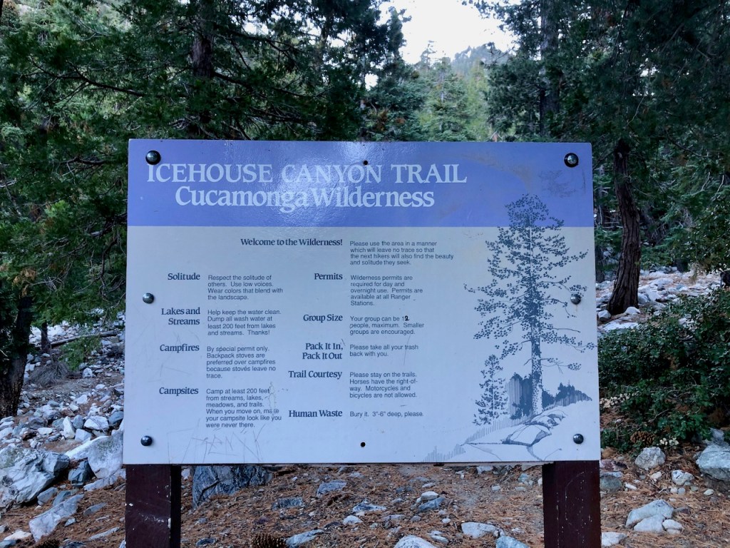
You park at Icehouse Canyon, or along the road nearby, if the lot is full. You can either display a wilderness pass, a national parks pass, or buy a day use permit. The fee is $5 per day. You can buy a day pass online, at rei, or at a ranger station. There is no pay station at the trailhead, nor are there directions on where to find one nearby, which can be confusing.
The Trailhead
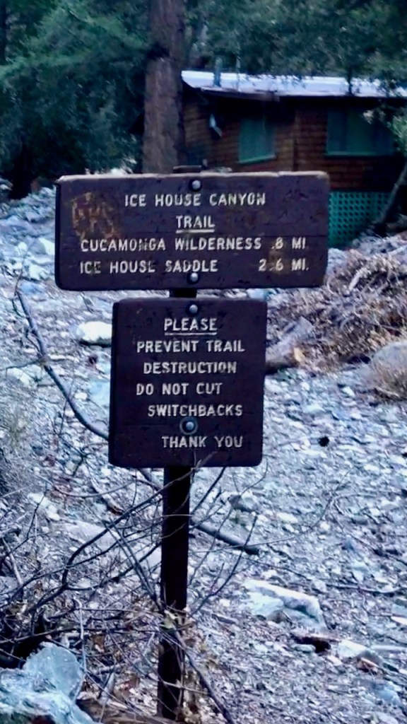
You begin the hike at Icehouse Canyon trailhead, just off Mt Baldy Road. This trailhead is the gateway for several other hikes: The Three T’s Hike, Cucamonga Peak, and Icehouse Saddle. There is a small parking lot which begins to fill up by 6am. When you arrive be sure to sign the trail register at the trailhead. This lets rangers know how many people are out there, should they need to evacuate people for some reason.
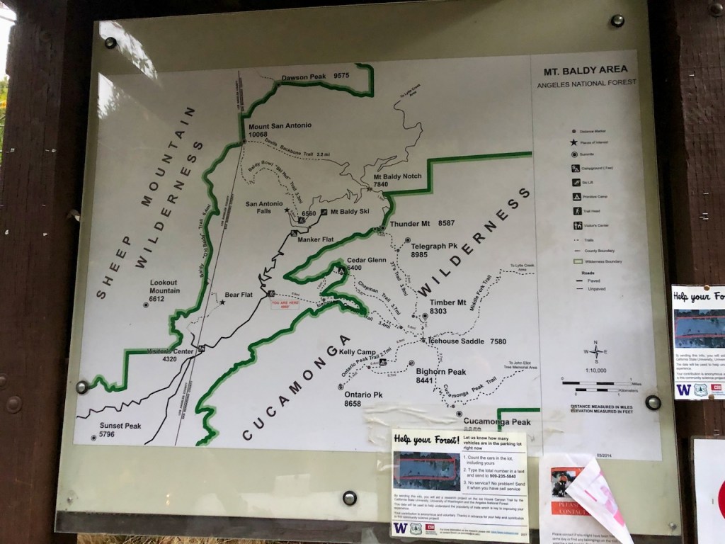
Hiking Permits
You can get your permit for hiking within the Cucamonga Wilderness online in advance of the hike. There is no permit required for Ontario Peak, but it is required for Cucamonga Peak.
The Hike Begins
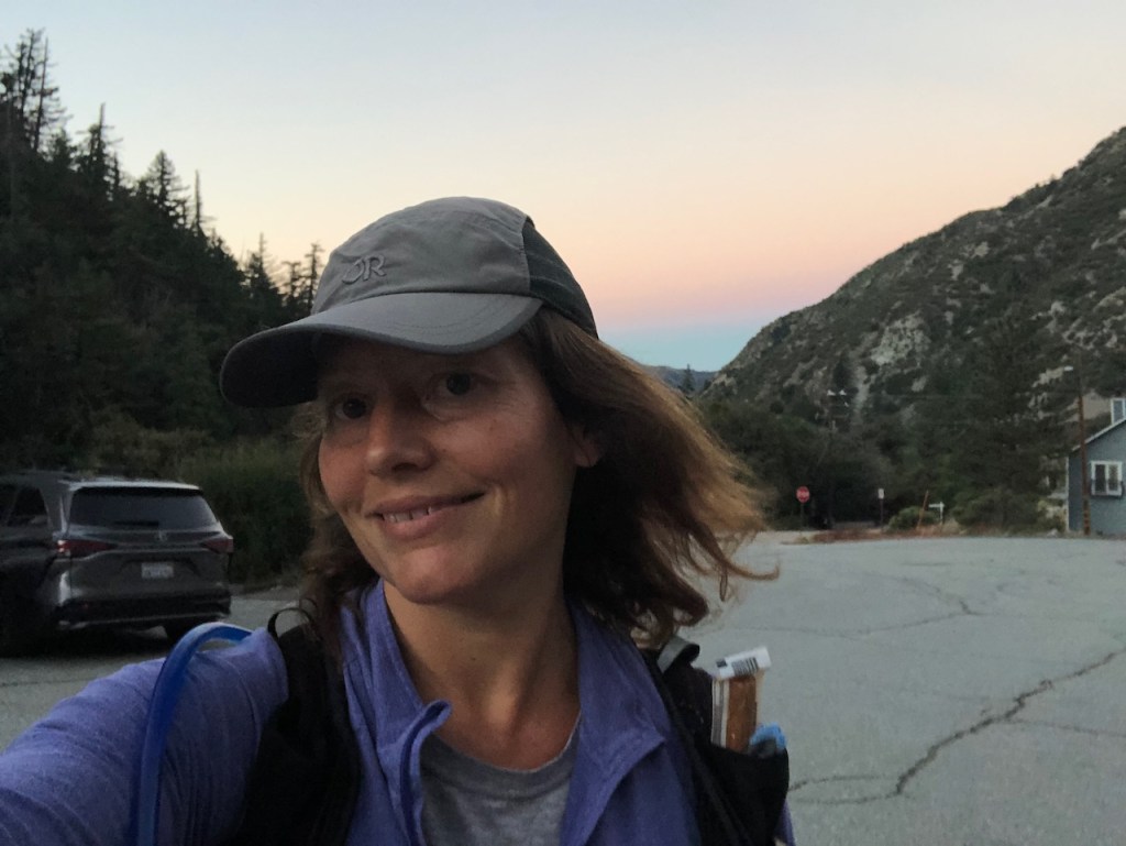
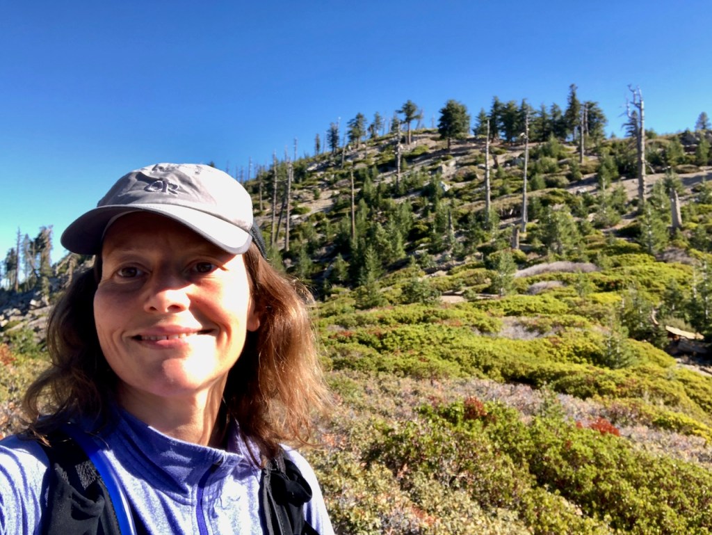
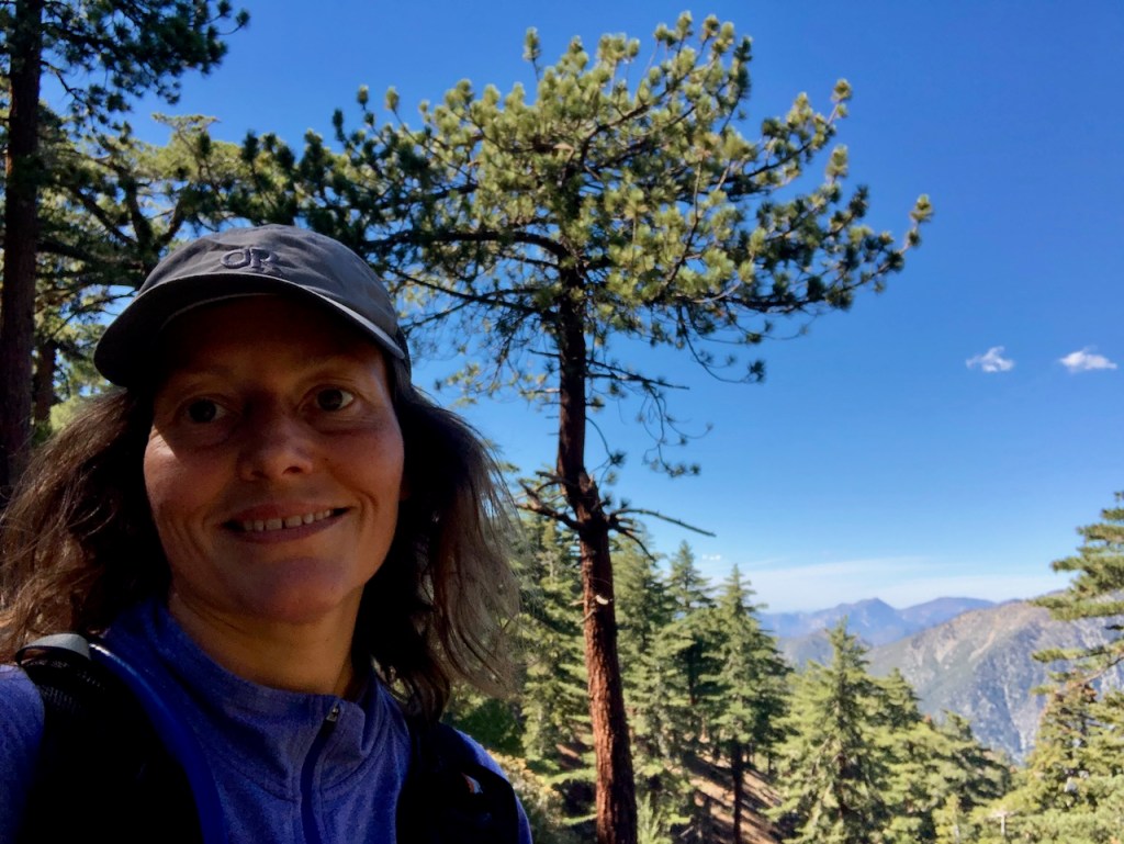
I arrived around 6:30 am at the parking area. I was going solo this time, and was prepared for a long hike, with all of the 10 Essentials, and then some. I wanted to challenge myself, and get outside into nature, on a beautiful fall day, while climbing atop a peak, I had not been to yet.
Two Peaks in a Day
Ontario and Bighorn Peaks seemed to fit the bill. I wanted to do this set of peaks, before winter set in. The window was closing fast, since it was late October. It can snow early, and it can snow late, depending on the year. One thing was certain, that the weather would soon get chilly. This was the last day forecast to be mild. It was set to be in the high 50’s on this particular day at the peak, and in the low 40’s in the morning.
Dress for the Weather
I set off in warmer clothing, prepared for anything with my raincoat, a fleece gaiter, gloves, a warm hat, and my puffy jacket. It’s better to not need thought things, than have to descend because you’re cold. I learned the hard way about forgetting your jacket, when I had decided to hike to Mount Baldy a year prior. Now I try to over prepare.
I Forgot My Trekking Poles
If anything I leave home, it’s usually trekking poles. If anything, I just bring one of them. Unless the trail has sheer drop offs or steep grades, I leave them at home. I do camel up on water, and also bring 3 liters for a climb like this. I used to bring 4 liters. I found that 3 liters is adequate, now that I hike faster. I also drink less water when it’s cooler. So I take this all into account.
Signing the Trail Register
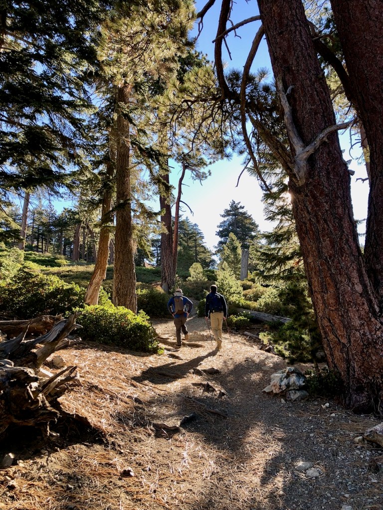
I came to the register. I ran right smack into Russ from the Hiking OC group, who was also hiking up Ontario, for the 4th time. I am not doing group hikes anymore, but it’s alway neat to see a familiar face. It was an interesting coincidence, to run into people you’re used to only seeing in your neck of the woods, so far from home. After a brief hello, I went on up the trail.
To Hike With or Without a Group
I enjoy hiking solo more than in groups. I am not really there to socialize but to hike. I love to hike solo, and not just chat the whole way. I enjoy just hearing my footsteps and the sounds of nature. To each their own.
Ice in the Canyon
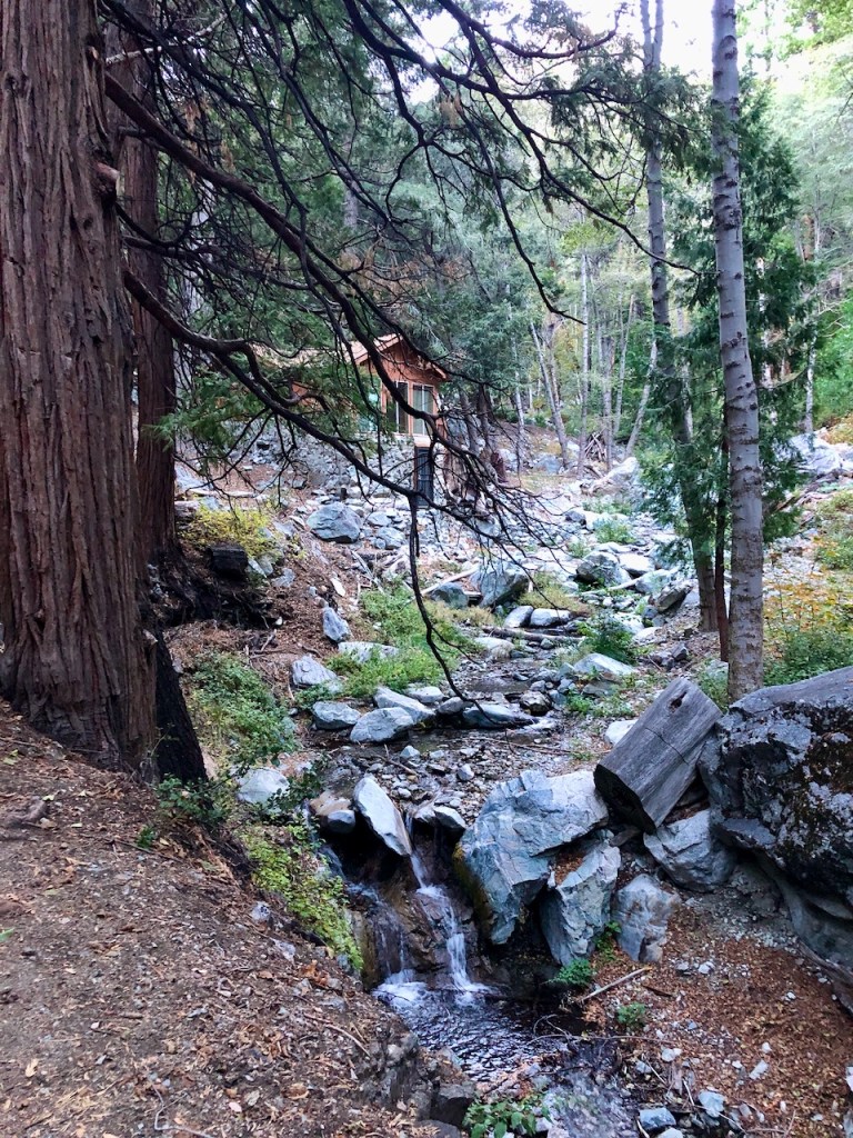
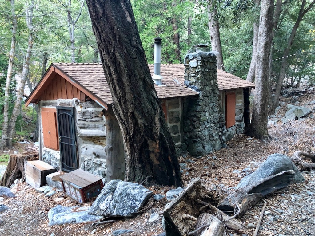
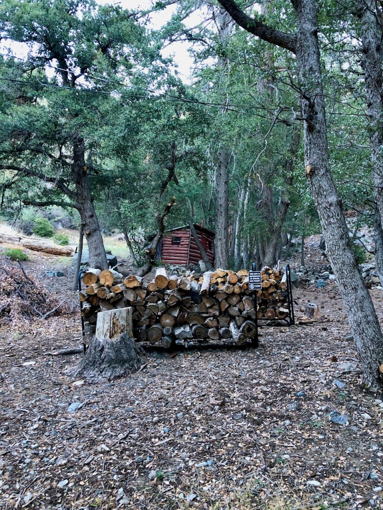
As you climb through the forest, you will pass old forest service cabins.
Back in 1859 an Icehouse was built in this canyon.
Mules and wagons were used to haul the ice down the mountain. It would be sold door to door, for refrigeration. There even used to be an Ice Cream Saloon here in Mt Baldy Village.
Gold Mining Claims
In 1892 a Placer Gold claim was staked in Icehouse Canyon, gold fever ensued, and mining would commence here.
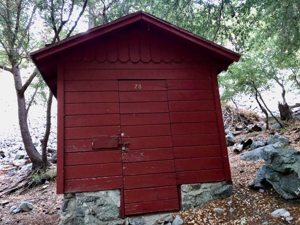
Silver, and iron ore were also processed here. Kelly’s camp was the site of the first claim, and another is located right by cabin number 26.
The Forest Service Cabins
The cabins were built here after the Forest Service advertised home sites for $15 a year, with the construction of “temporary houses,” being $150. Later the Chapman family developed a resort here with cabins, called the Icehouse Canyon Resort.
Dangers in the Canyon
There have been floods, fires, and deadly avalanches in this canyon before. That’s why it’s important to check the weather report before you go, especially during wildfire season, in August through September.
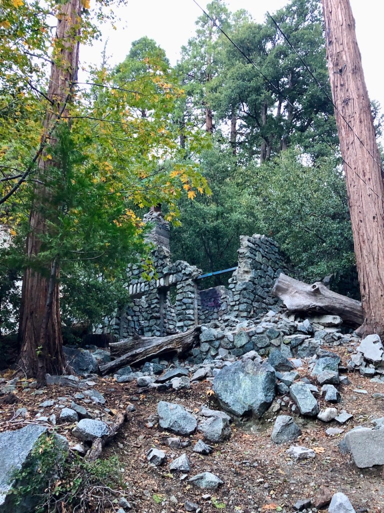
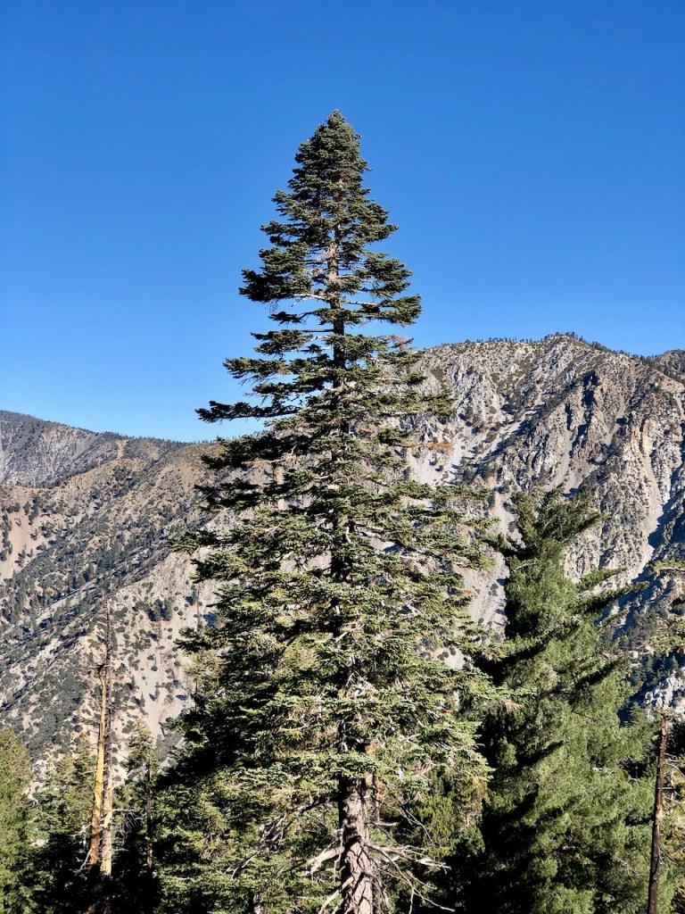
Ruins of the Past
As I climbed higher, I could hear the creek flowing, though more at a trickle. The first cabin from times past, is covered in graffiti. I will never understand why some people feel like old ruins should be painted on. Maybe people will someday leave these ruins alone.

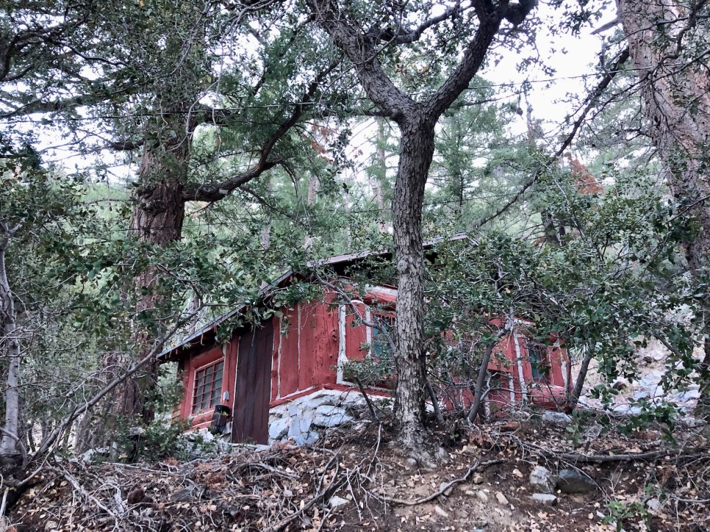
Then I passed a few more cabins, which appeared to have people staying in them.

Then an old ruin of a fireplace, where a cabin used to be.
The Switchbacks
I passed the turnoff for Kelly Camp, and proceeded to the switchbacks.

This is the way I went the first time I hiked here, to Cucamonga Peak.
I kept a fairly steady pace of 2.5 mph, until I reached the switchbacks, when I slowed a bit.
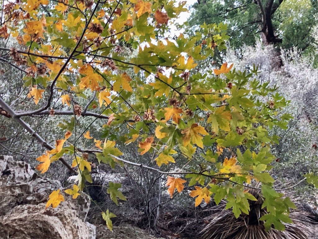
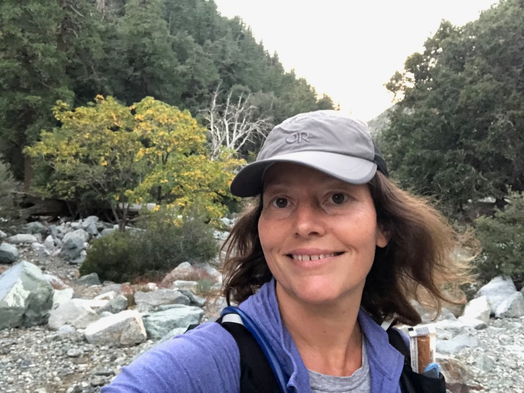
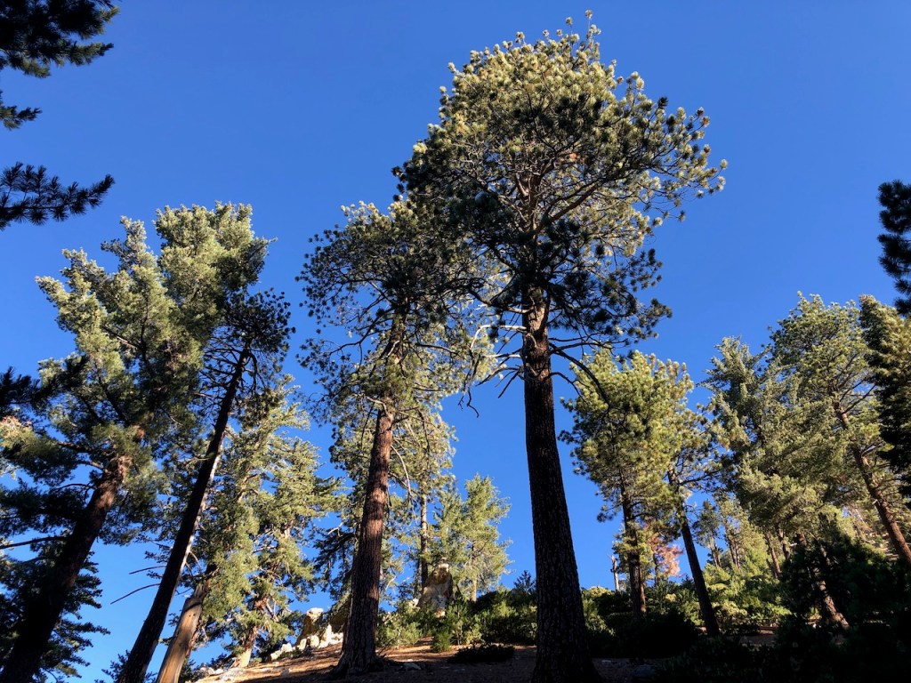
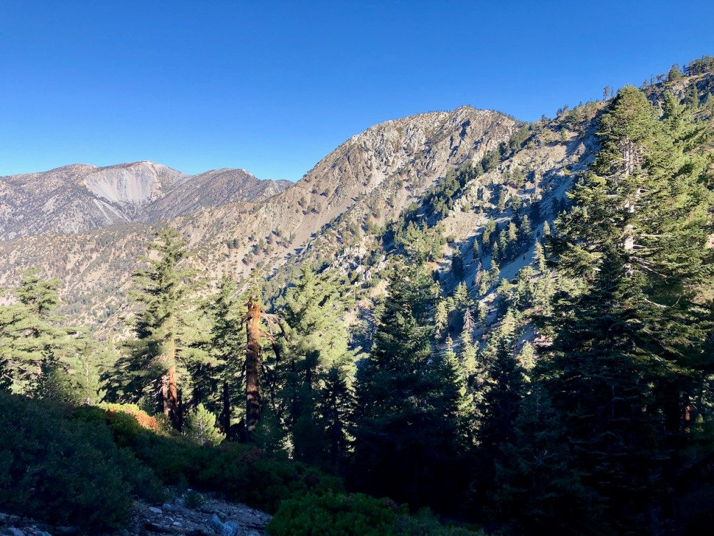
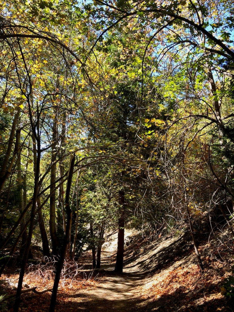
Here the trees were starting to turn shades of yellow.
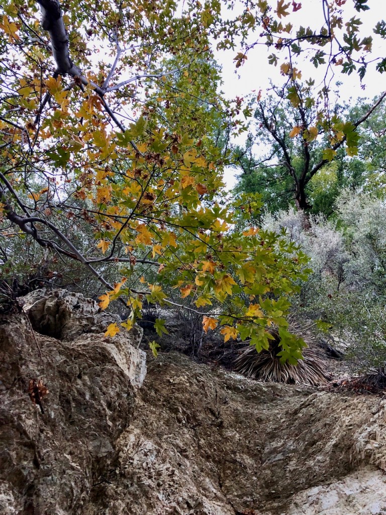
It was Fall in the canyon, and a beautiful time to be there.
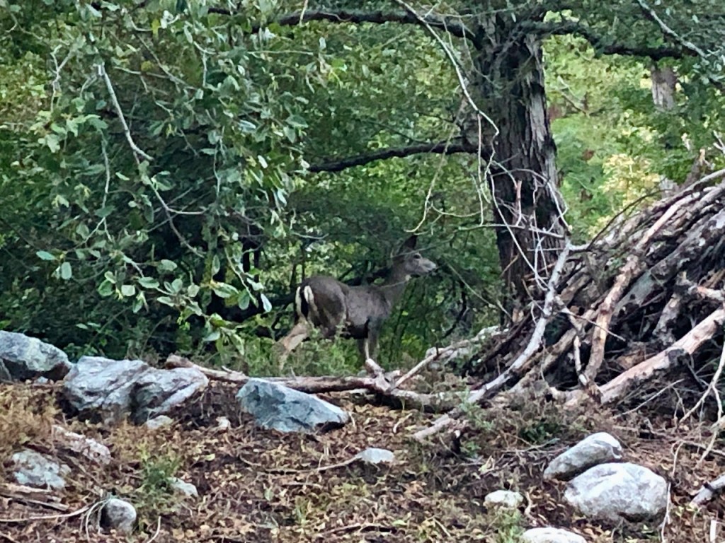
I passed a mother deer and a fawn. The winds were light, and the sun was shining as I climbed the many switchbacks to the notch
Icehouse Saddle
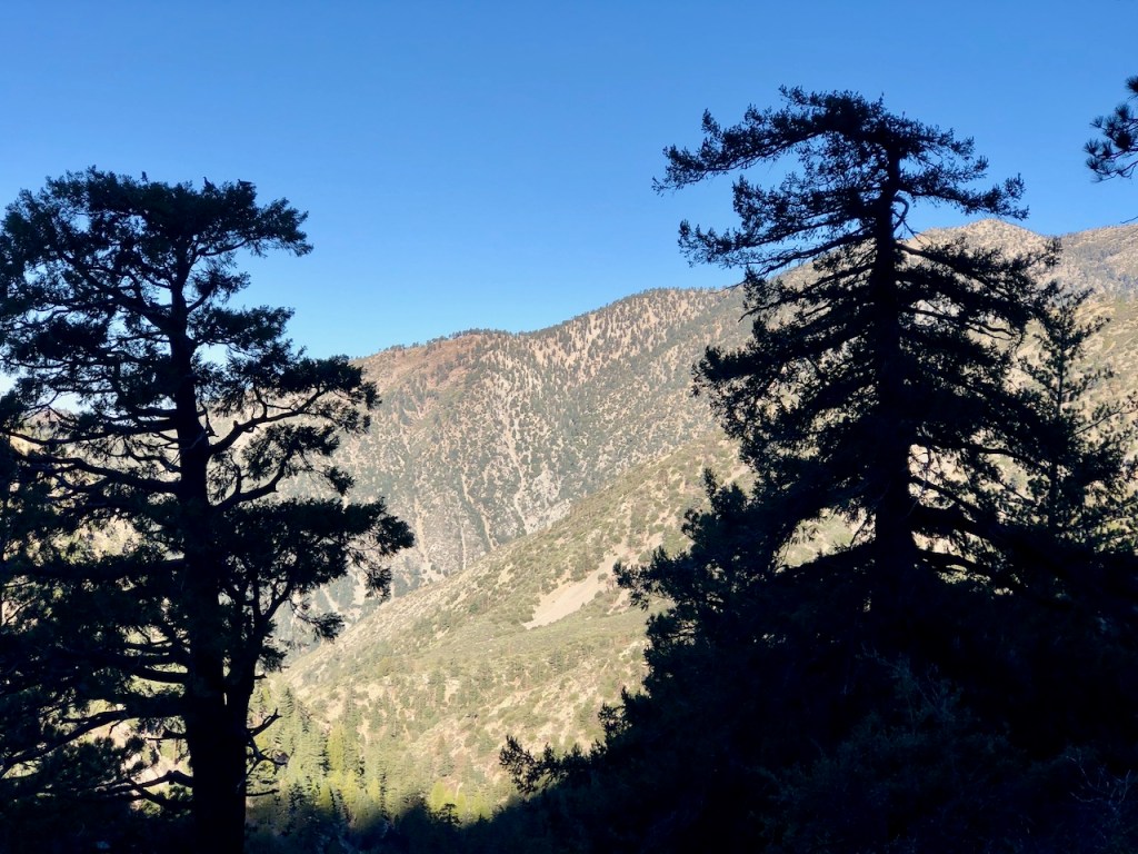
The sun began to show through the trees on the ridge, and paint the ridge line with its golden light.

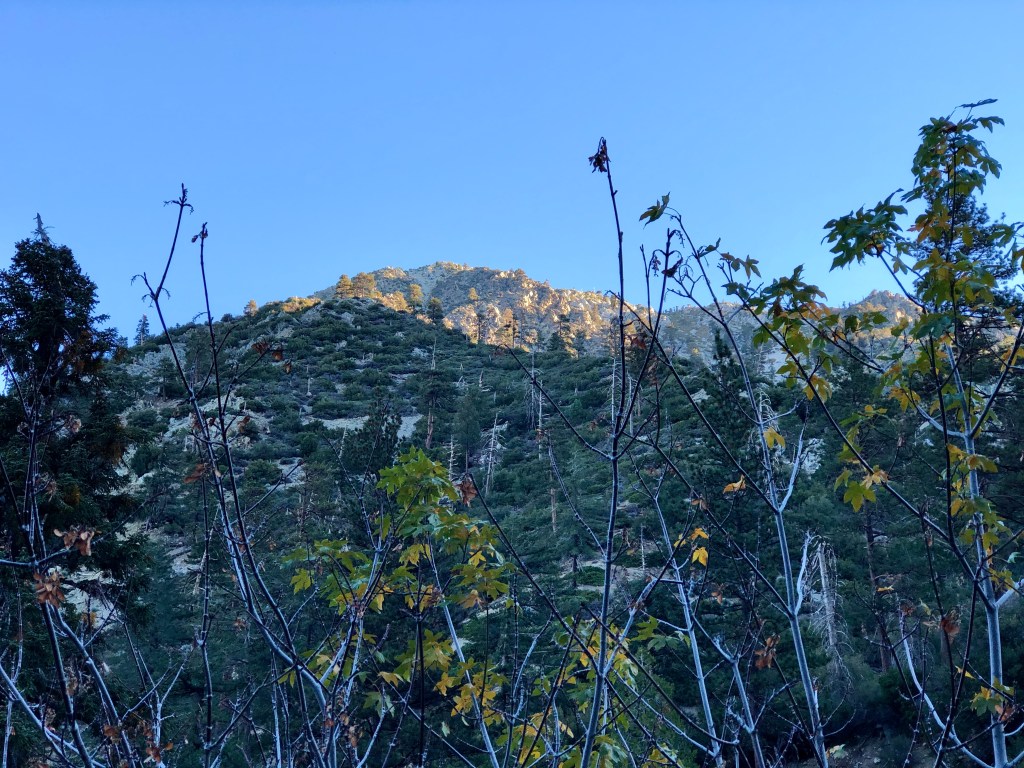
The sun came over the ridge, and it finally started to warm up a bit.

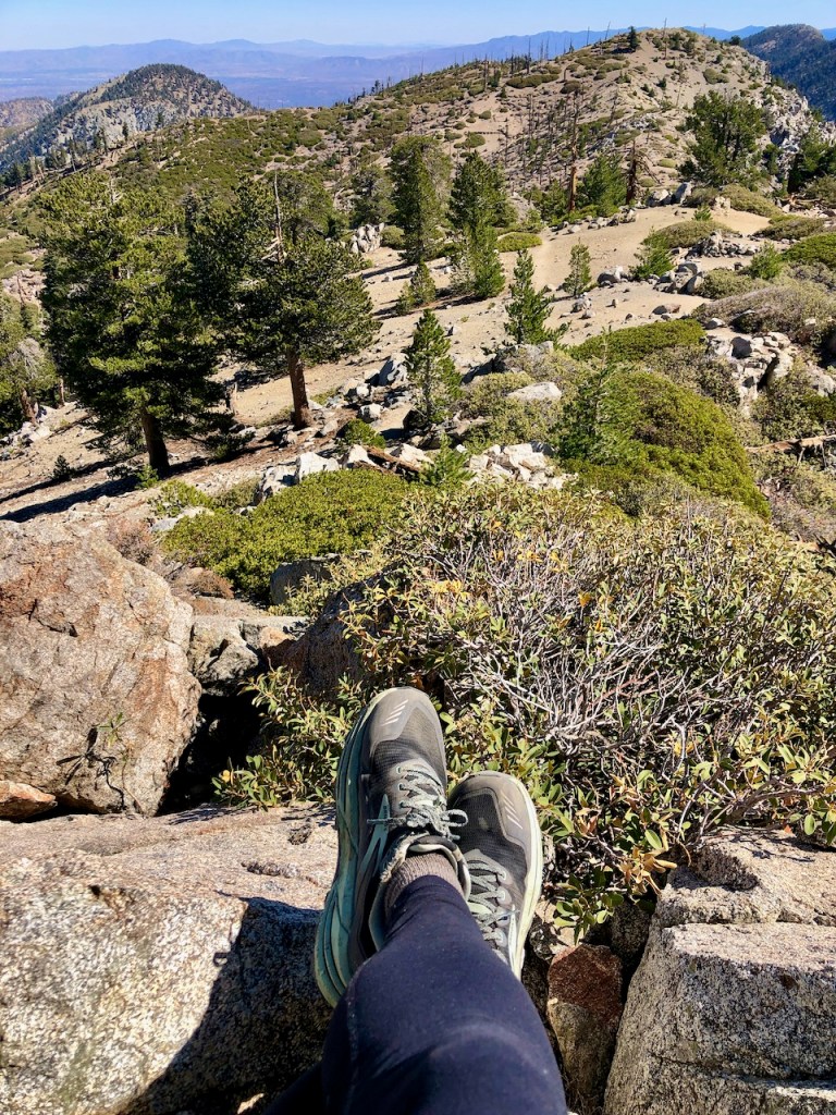
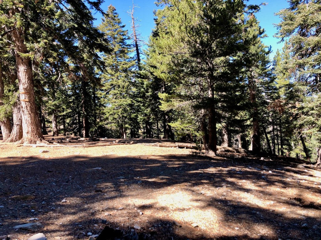
I reached Icehouse Saddle, about 3.5 miles from the trailhead. This is a great spot to stop and rest, and have a snack, as there are multiple large logs to take a break on. The views up here are really amazing, and its a destination in itself, for those not hiking on to several of the peaks up ahead.
But I did not stop and rest on this trip, and just kept on going.
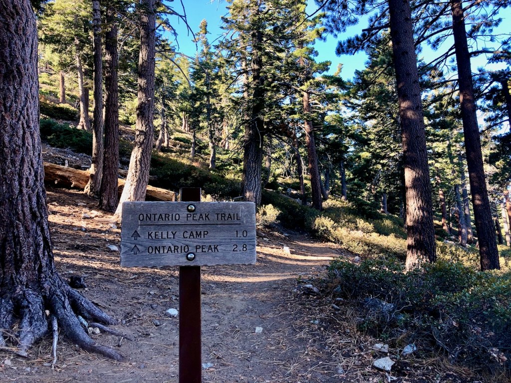
I was feeling great, and wanted to only take a rest at the peak. I found the sign for Ontario Peak.
Bighorn Peak
There was supposed to be a trail, up the steep side of Bighorn Peak, or perhaps it was more a route, that involved a bit of bushwacking. So I decided find out, and try hiking straight up to Bighorn Peak from the saddle, based on an alltrails community-created trail map I had saved.
A Steep Slope
This idea proved to be too steep, and overgrown, full of loose granite, and dirt. It was tough to get a foothold, so I went back to the saddle to re-think my approach.
The Path Most Travelled
I inevitably decided to continue onward, hiking the traditional way to Ontario and Bighorn shown on the alltrails. So I walked alongside it on the Ontario Peak Trail.

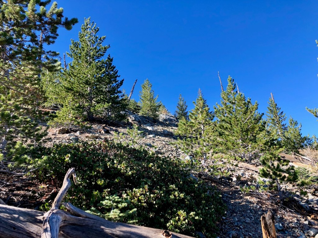
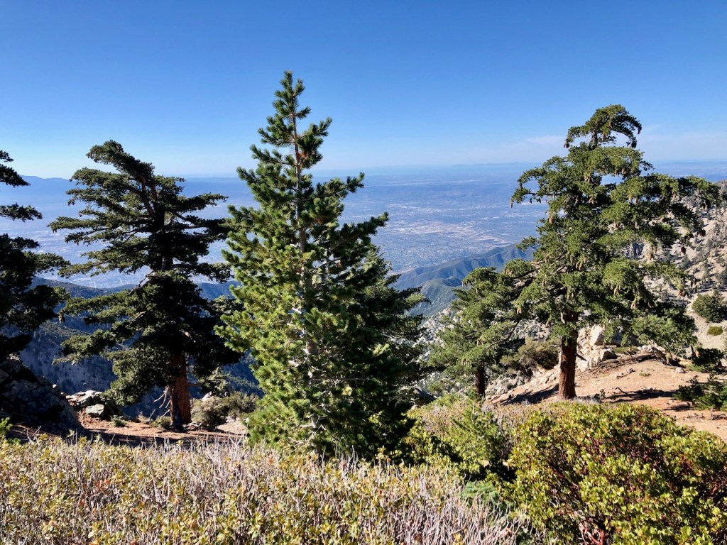
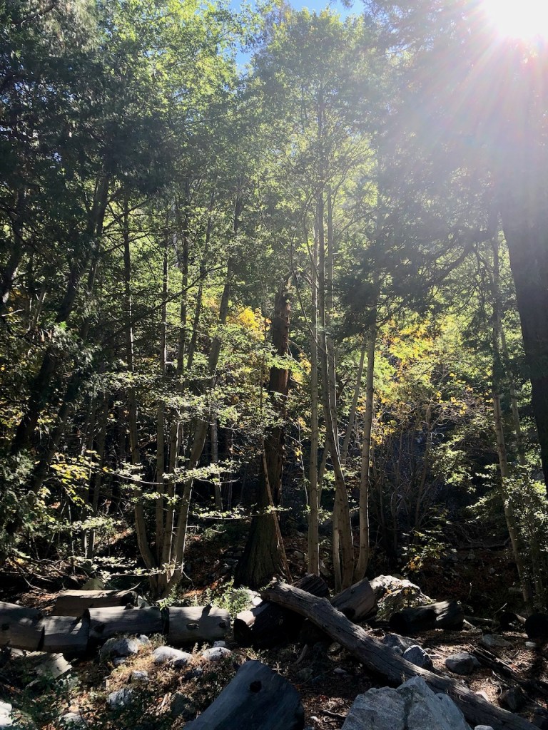
Along the way is a beautiful alpine forest.
My Chosen Route
This route would required more mileage, and backtracking towards Bighorn, then back to Ontario, before heading back along the ridge back the way I came. That would turn a 16 mile hike into a much longer one, of maybe 18 miles.
An Un-named Trail
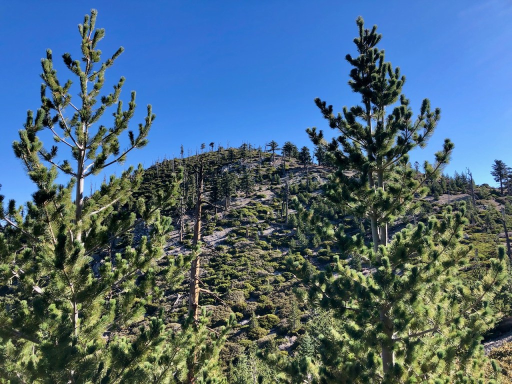
Instead, about halfway to Ontario Peak, I notice a trail to my left, not marked on a map. I decided to take a chance, and see where it leads, since I reason it likely leads to Bighorn Peak, since I was just beneath it.
Hiking Solo
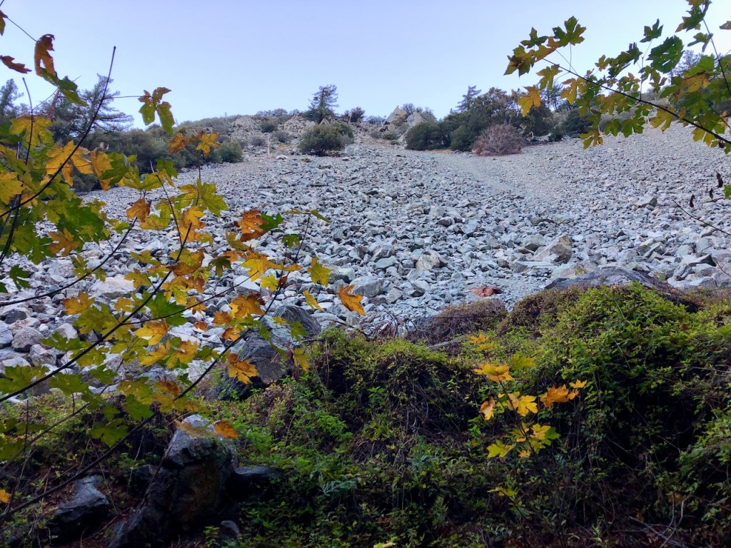
There really was not anyone around, and it would just be me today it seemed. I started making my way up this unknown trail, about halfway between the Notch and Ontario Peak. After ¾ of the way to the ridge, the trail just disintegrated. It had disappeared in the loose talus. It was a maze of small pine trees.
Scrambling Anyone?
I had to do a bit of scrambling over boulders and down trees, trying to find the trail, or any trail. Eventually, after just about giving up hope of finding a trail, I found the ridgeline, and a trail.
Bighorn Peak
The next 30 minutes or so would be spent going down singletracks, and turning around, to try a different way.
The trail to Bighorn was in no way clear. This was a true test of my navigation skills. In spite of having all trails downloaded, the trail was impossible to follow.
Eventually I did make the short steep ascent to Bighorn Peak. It would, to date, be one of the most difficult, and confusing peaks to find.
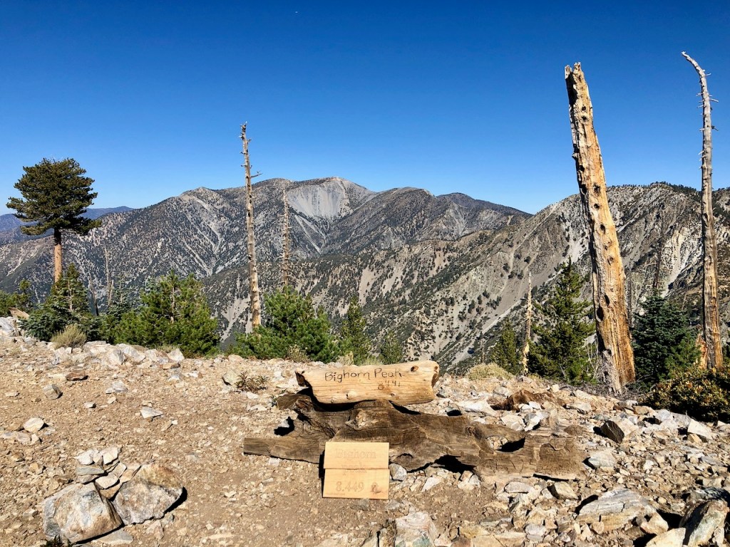
Bighorn Peak Elevation 8449
It was sunny and beautiful out, and turning out to be a beautiful day. Navigating off trail was never my intention. I had followed what is considered a social trail, which was hard to follow. But since I had alltrails, I was eventually able to make my way to Bighorn Peak.
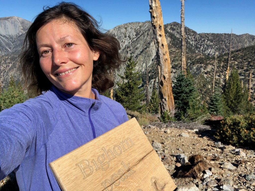
It was too bad the sign was broken, and needs a repair. I was glad the sign was there, and not missing as so many peak signs can be. Next stop Ontario Peak.

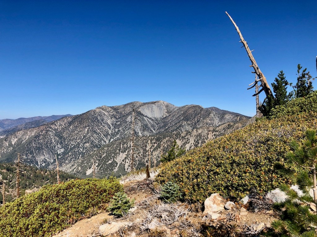
It was onward to Ontario Peak. I could literally see it down the ridgeline, so now it was just a question of choosing the right trail, and there were so many, so I was again feeling a bit bewildered. I kept asking why there could not just be one single trail along this ridge, with all the people that come here?
A False Summit?
I would come to what people call the false summit of Ontario Peak. I passed by two trails leading back to the notch, and remained on the ridge line, where finally the trail became well defined. I realize what a blessing it is to have an actual trail to follow. Wayfinding is actually kind of stressful. I somehow pass by Russ again, and go onward to Ontario.
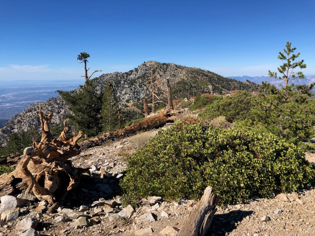
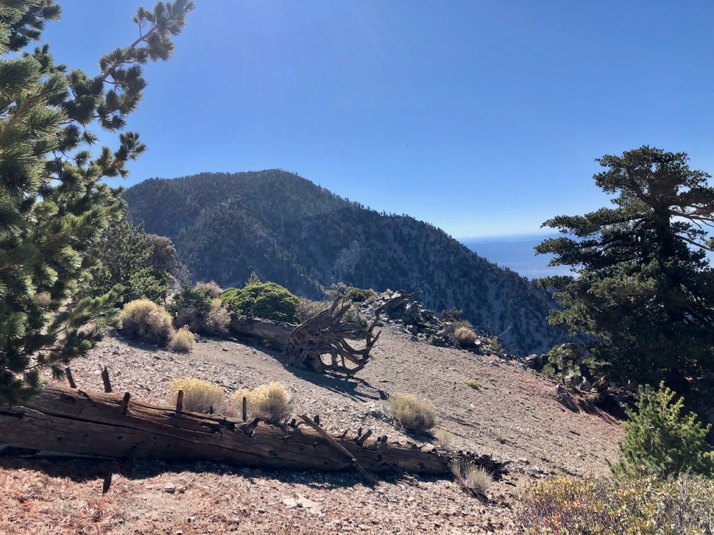
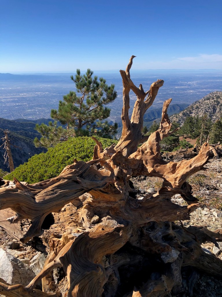
Ontario Peak
At the peak is an unmistakably stoic, ancient looking, and long dead pine tree, along with an interesting pile of boulders. So there are plenty of choices to take a photo of the peak.
There is a classic peak box with a trail register, and there is no peak sign. It had gone missing again. I had read on alltrails, from a few days ago, that someone had taken the sign.
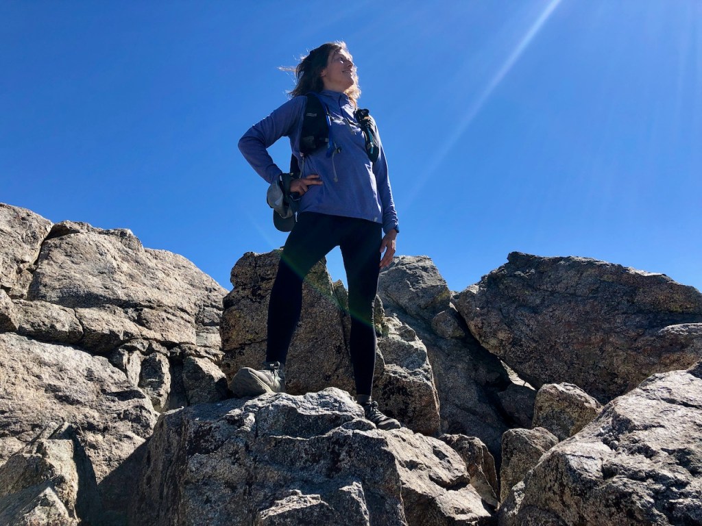
It always feels great to stand on top of a mountain.
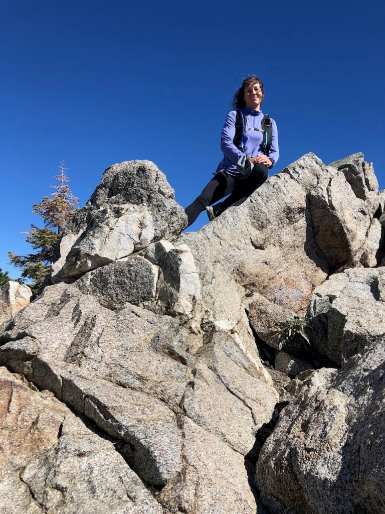
A Peakbagging Summit
I stayed long enough to see Russ at the summit, and enjoy my lunch. He took this great photo for me too, and everyone traded off capturing the moment.
In doing so I went head over heels on a rock, but was not badly hurt, just bruised a bit. None of us could find the usgs marker, so that was also missing from the whole peakbagging experience.
Trail Running on Back
There are benefits to having a peak to yourself, and also to having other people there to share it. I have had summits to myself more often than I can count. After a 30 minute break, I was ready for an epic run down the mountain.
I love the feeling of freedom running down the ridge. It’s the icing on the cake. I just try to be careful as I go, slowing down as necessary, and just walking if the terrain is questionable.

Campground
I would pass a beautiful campground, on the way back, that I had not seen on the way up. It was tucked within the trees, just below the peak. I made a mental note that I would stay there next time I come to Ontario Peak.
Goodbye to Fall
The forest was still so green, as I walked through the tree canopy of Icehouse Canyon. Winter was coming soon, and these cool fall days, with moderate temperatures were coming to an end. In fact the forecast was set to head into the 20’s and 40’s in the coming week, making today’s 50 degree temps feel more like summer.
It was another peaceful day in the wilderness, and I was only thinking about when would be the next time I would experience it again.
Fun Fact About Ontario Peak
Ontario Peak was named after the Canadian province of Ontario, by the Chaffey brothers.
My Stats
It took a total of 6.5 hours + a half hour break for this 14 mile hike. I hiked up at a pace of 2-2.5 mph, and ran down at a pace of 3- 4 mph. A trail like this, with its many flat sections made that possible. The wide flat fire road of Baldy Road, on the other hand, makes it possible to literally fly back to your car. I love running on the road past the bowl.
Until Next Time
All in all it was an epic day of mountain climbing, and I can’t wait to do it again. Everyday in the mountains is truly a gift, and I am grateful I get to do this. Until next time Angeles Forest!
About Hiking in the Angeles Forest
The Angeles National Forest is one of my favorite getaways, just an hour and half drive from my home in Orange County. It’s a very popular area to go hiking, and is crowded on weekends. It is a wilderness area, so if you visit, be sure to leave no trace. Always check the weather, at socalsnow.org, since mountain weather can be hazardous. Never hike during a red flag fire warning, in isolated areas, where it would be difficult to be rescued. Always remember SAR does not fly in windy conditions. Always bring the 10 Essentials, especially if hiking in the wilderness. Also, don’t forget to keep it wild, and respect all wildlife who call this place home.
My Next Adventure
I started thinking about my next adventure, as I jogged down. Perhaps, I will do a multi-night trip, hiking from Guffy camp, over Pine Mountain to stay atop Mount Baldy, and then traverse over to Ontario. Maybe I will just hike the Old Baldy Trail. So many fun adventures await, and so many choices. At least I am not short on ideas.
Future Climbs
Thoughts of leaving a car on both sides of these mountains comes to mind. The excitement and anticipation of the next challenge is already happening. I am ready for another adventure, because being up here in the highest reaches of the wilderness is what I look forward to everyday. It never really leaves my mind, and I am always perpetually in planning mode.
Ontario Peak Map
I always download alltrails maps for my hikes in the wilderness. I think it’s important to always have a charged phone, and know the way back to the trailhead. I also recommend all people in a group have their own maps.
Alltrails Map to Ontario and Bighorn Peak
Caltopo Map to Ontario Peak
Here is a great overview of How to Use Alltrails, it’s what I use for navigating all my hikes. I love all the How to Hike videos listed here, they are all very helpful.
About me
I’m Serafina! I’m a writer and California girl who loves to go exploring. Hope you will get outside today, breathe some fresh air, and be happy!
Follow my Journey…
Be sure to Like and Subscribe to My Youtube Channel where I post videos!
Disclaimer: The work on this blog is my opinion and my opinion alone and I am not responsible for the outcome if someone were to apply these thoughts to their own life. All text and photography copyright 2022 by Serafina, all rights reserved. Information and opinions provided are kept current to the best of the author’s ability. All readers’ usage of the ideas and opinions presented in the blog, are at their own risk. Be aware of the possible dangers of hiking, surfing, walking, cooking, and other activities, which may take place indoors or outdoors. By reading this, you agree not to hold the author or publisher of the content on this web site responsible for any injuries or inconveniences that may result from reading the blog, or partaking in any activity mentioned in the blog. Read the blog, and use its ideas, if you so desire, at your own risk.
