
Ladera Hills and Arroyo Trabuco Trail
I set out on the Arroyo Trabuco Trail, which is a 16 mile long trail along Aliso Creek in Ladera Ranch, CA. The trail terminates at O’neil Park, in Trabuco Canyon, within the foothills of the Santa Ana Mountains.
Several Options
There are actually two trails, one along each side of the creek. Depending on how high the water level is, there are a few possible spots to cross it, and reach the other side of the trail. The alternative is to cross via the bridge at Crown Valley Parkway, or Oso Parkway.
Parking at Cox Sports Park
I had hiked on Arroyo Trabuco Trail in the past, via the Cox Sports Park. The parking is free there, and there are restrooms, which make it a convenient option for reaching the trail. However, in order to reach the trail, you must descend down a wide fire road beneath power lines the entire way.

Parking by Arroyo Trabuco Golf Club
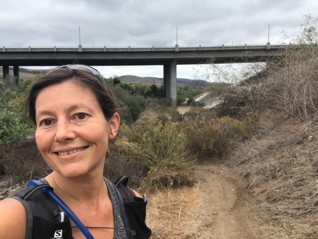
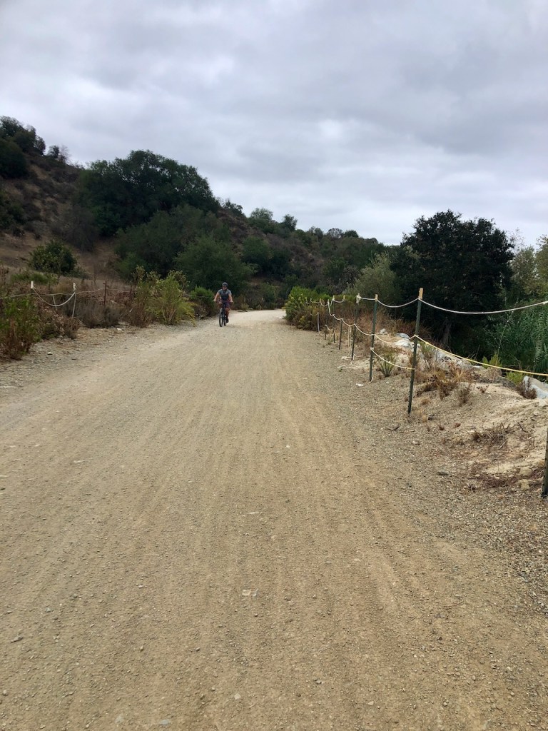
I parked along Avery Parkway, at the end of the road, just past the entrance for Arroyo Trabuco Golf Club.
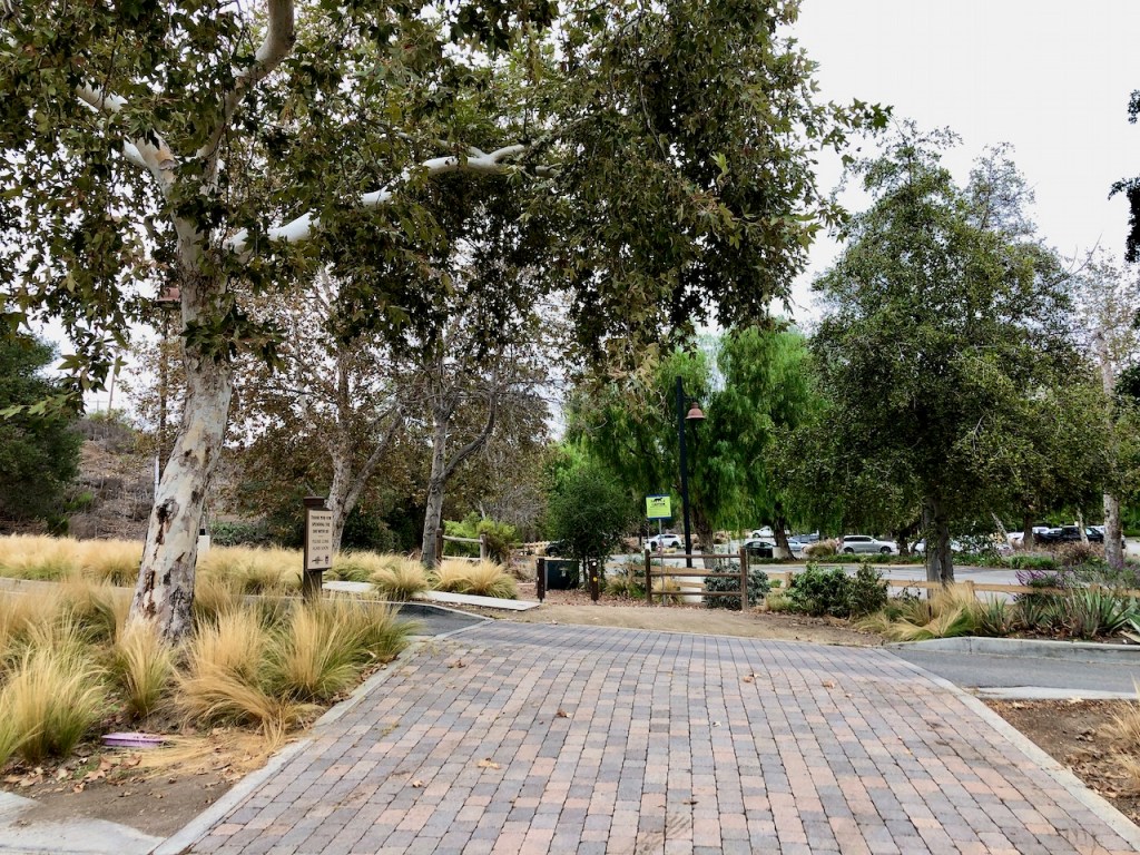
The Trailhead
There are several parking spots along the trail that are not within the golf club. I don’t recommend parking anywhere else if you decide to take this route.
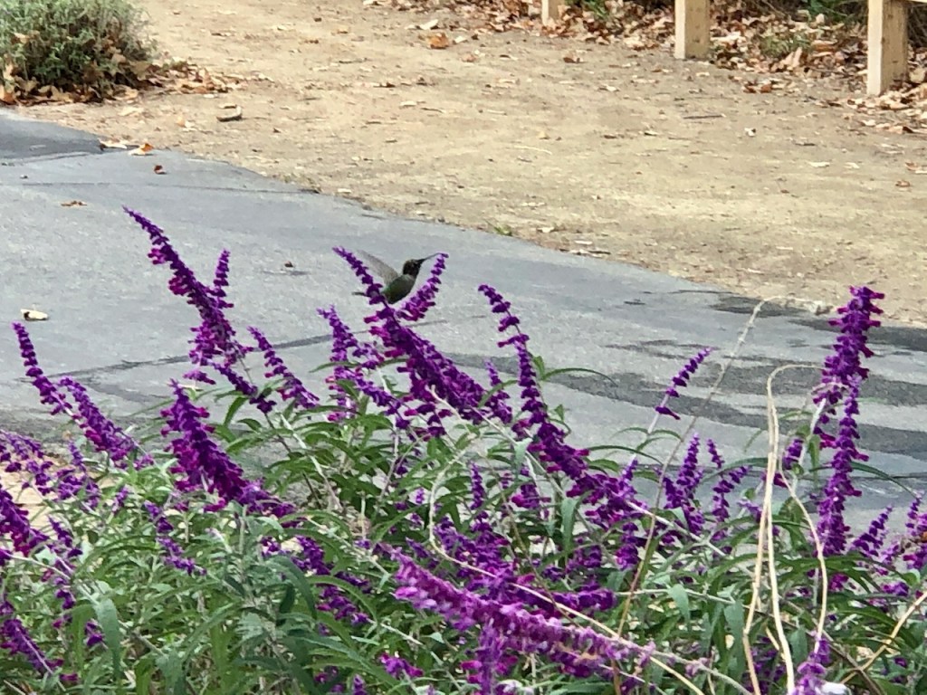
There were hummingbirds drinking nectar from the purple salvia planted along the trail.

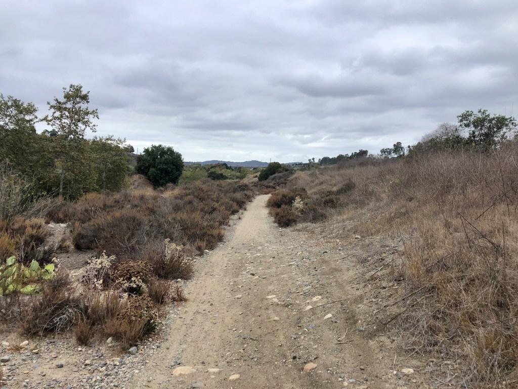
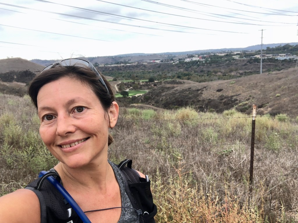
It was a cool fall day, overcast, and was set to rain.
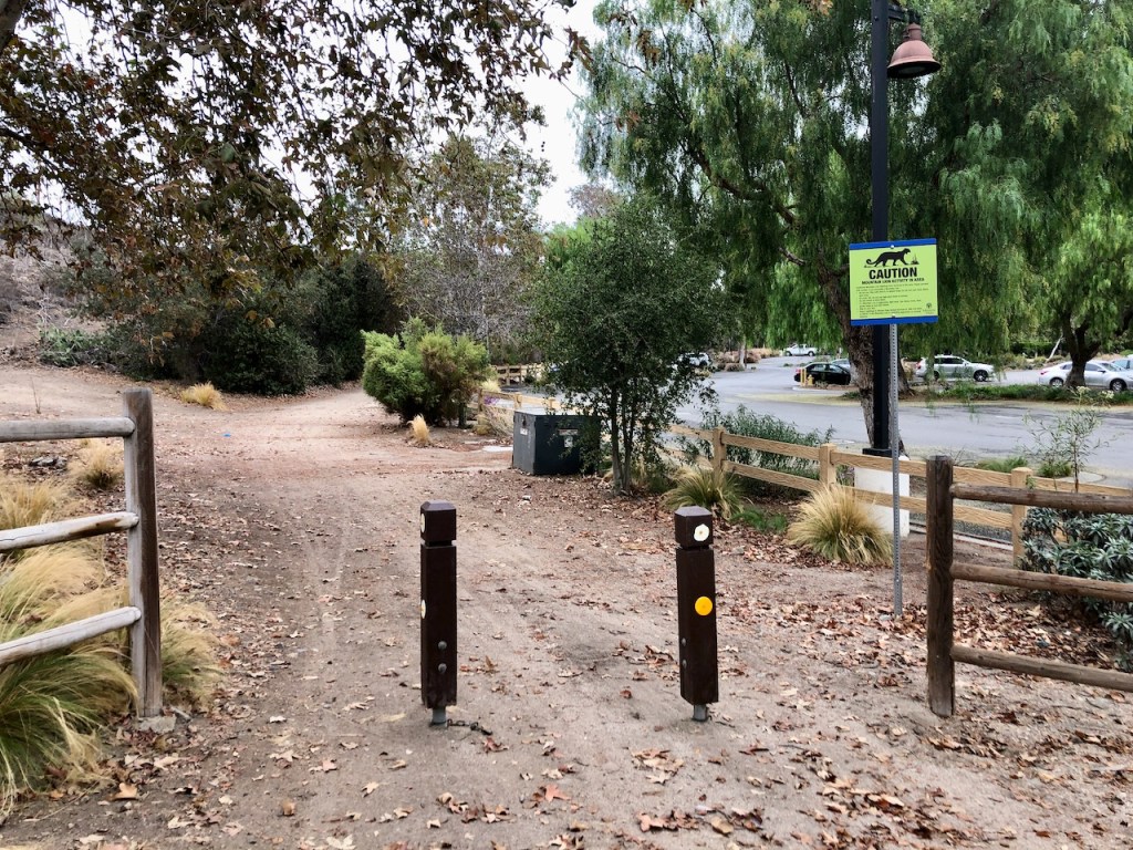
I set off down the trail, which runs alongside the golf course. The trailhead begins at the entrance to the golf course parking area.
It was a perfect day for trail running, and pushing myself to put in more miles, along this scenic, nature trail along the creek bed.
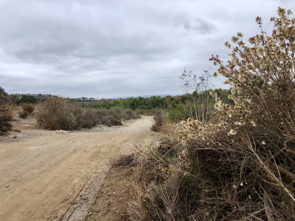
It was a bit muddy in areas, due to recent rain.
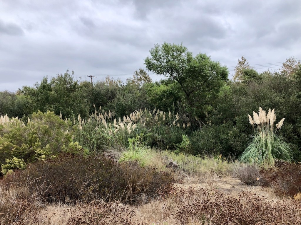
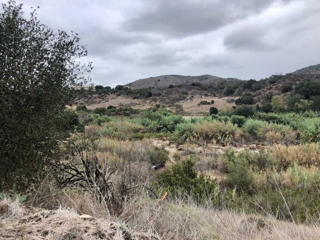
The creek bottom is a mix of brush, marsh plants, and trees, which thrive in this environment.
It was early fall, and just a few shrubs were flowering.
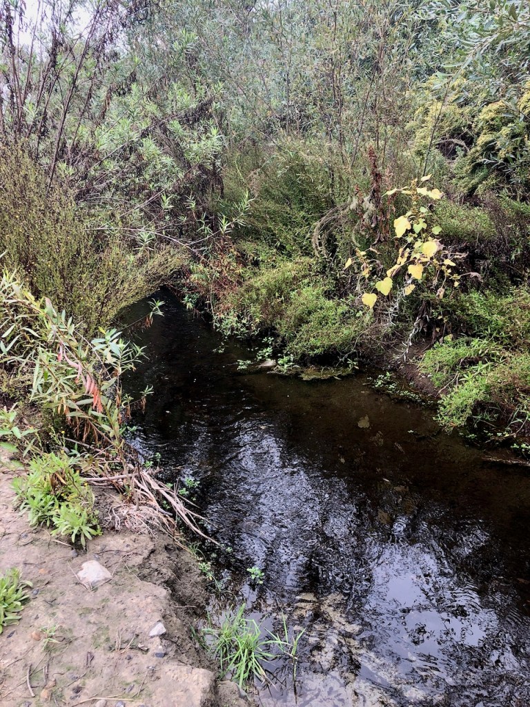
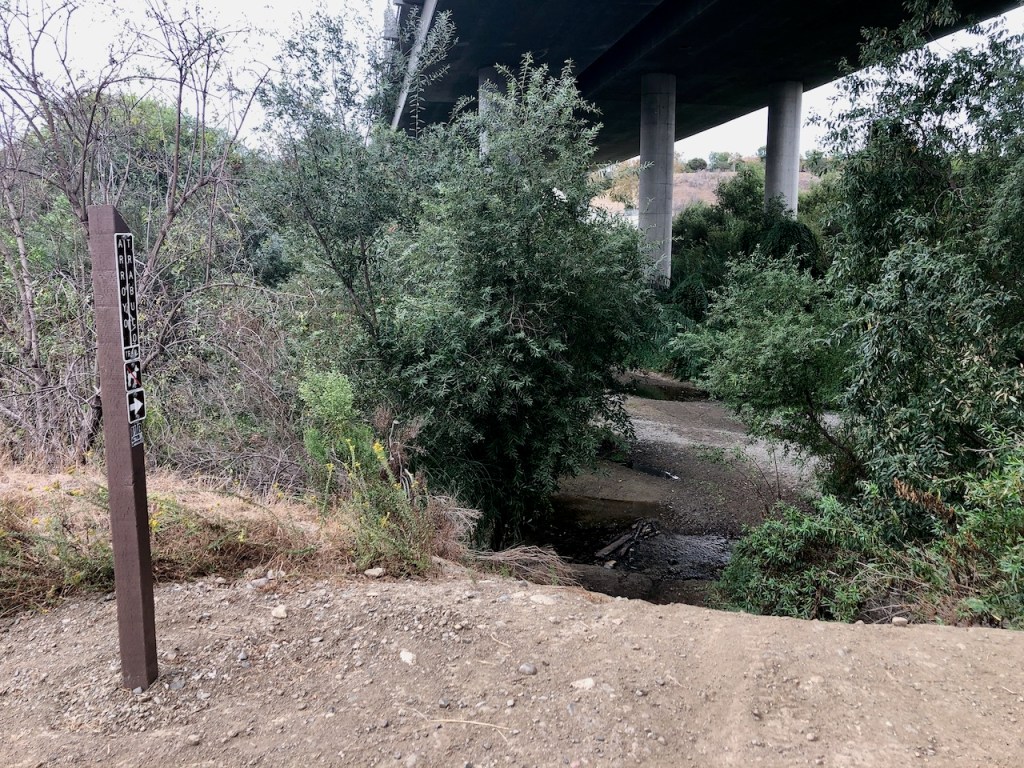
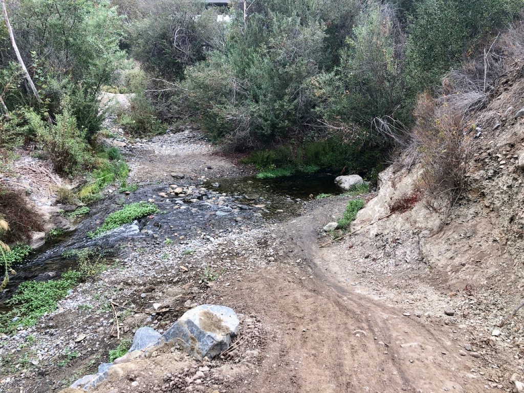
I past a by a small flowing tributary of Trabuco Creek.
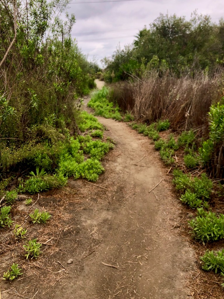
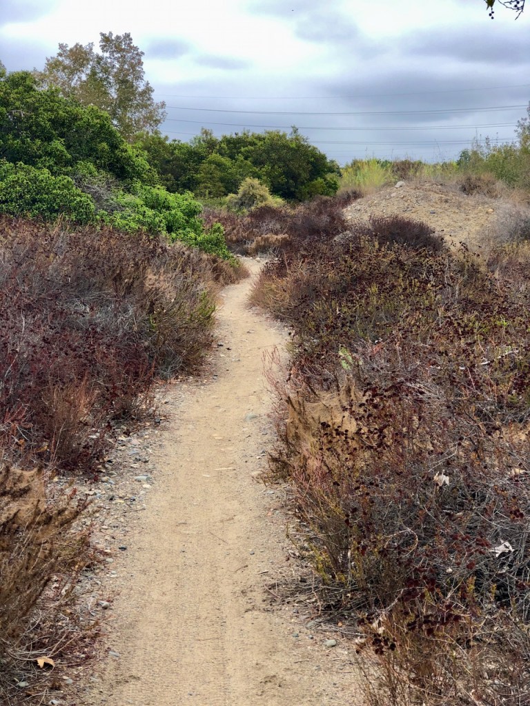
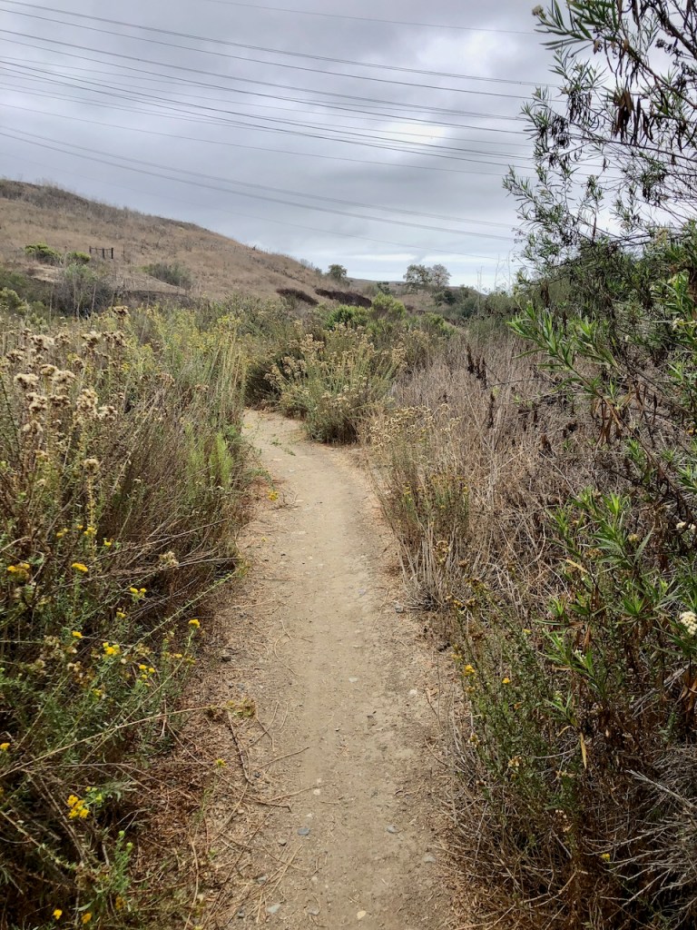
The trail became narrow and muddy at times.

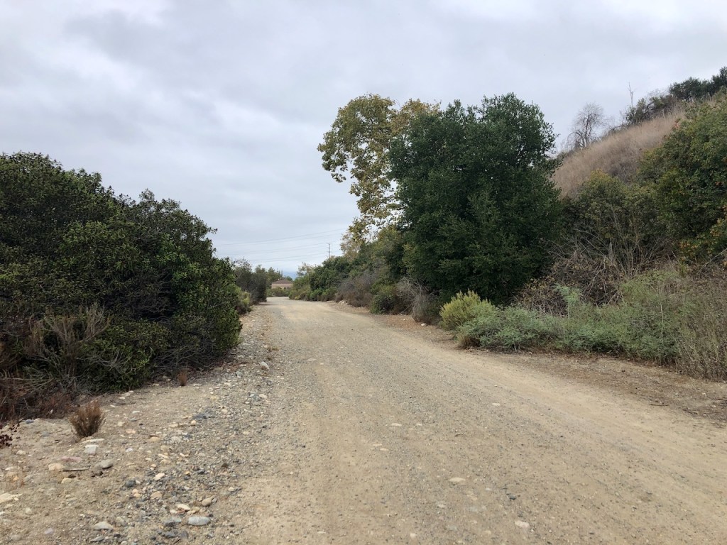
It was mostly flat with a few slight ups and downs. It felt isolated here, since there was not another soul on the trail.

I noticed a native pepper tree.
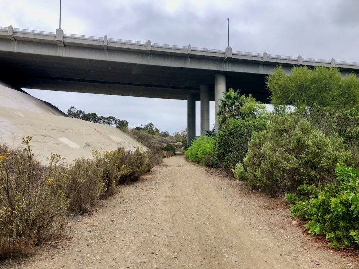
Approaching Crown Valley, I walked beneath the overpass.
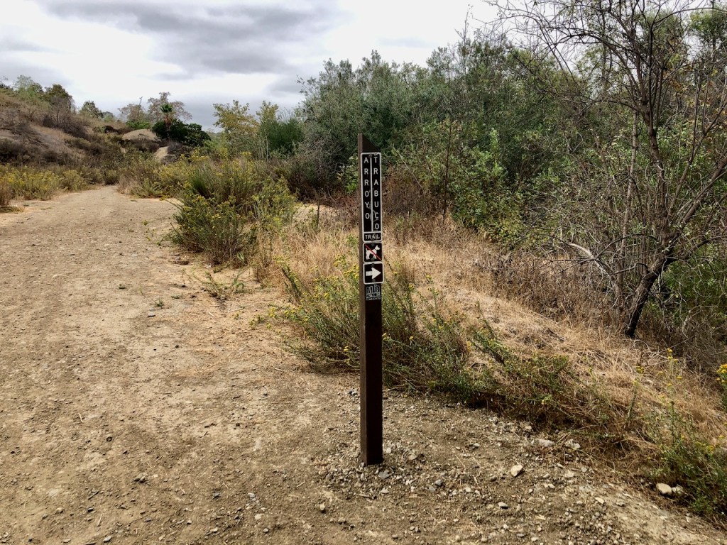
I came to a sign for Arroyo Trabuco Trail. I was actually on West Arroyo Trabuco Trail, and this sign pointed the way to the trail, along the other side of the creek.
Reaching it would have involved crossing the creek, possibly in several places.
I continued on exploring West Trabuco Creek trail.

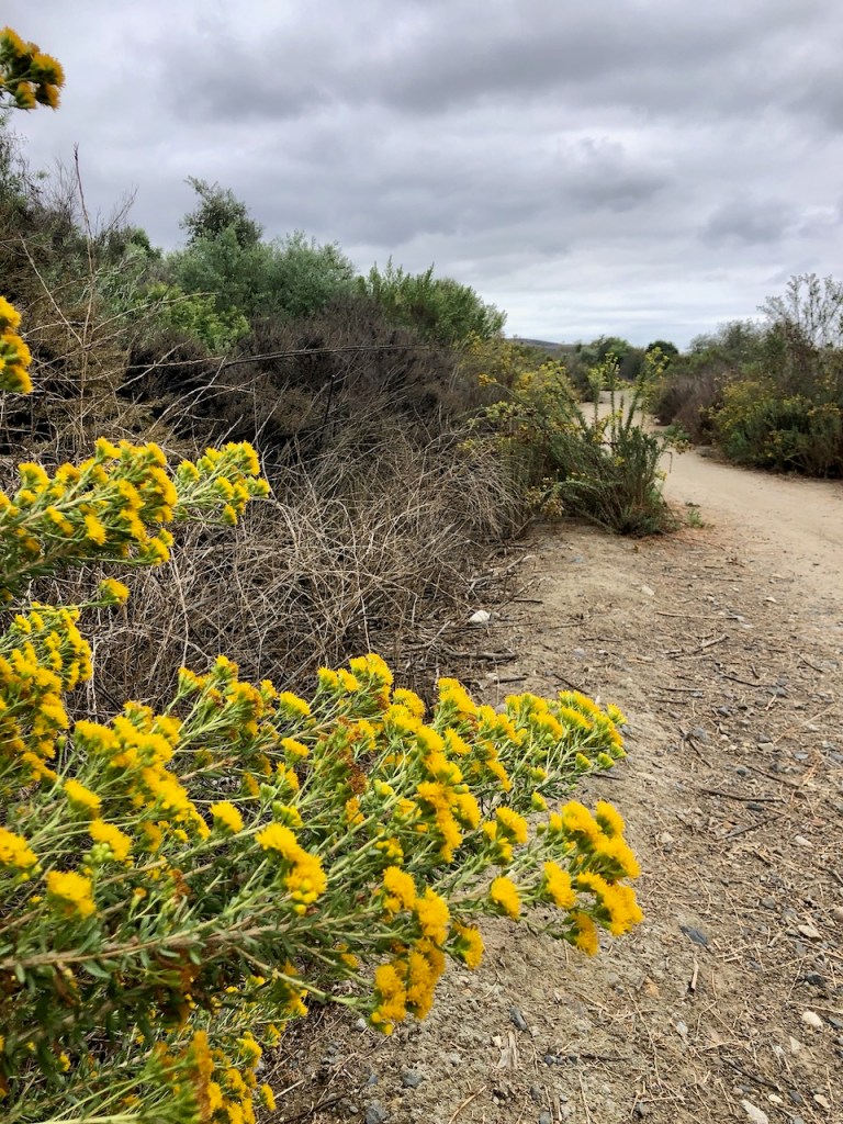
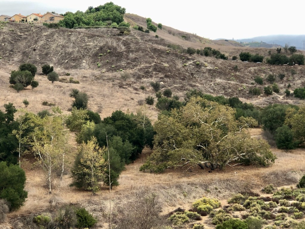
Everything was very dried out, in terms of plant life, in October.

I was not certain what this gnarled metal cable may have been used for. It would definitely pose a hazard to a bike tire. I was luck to avoid it.
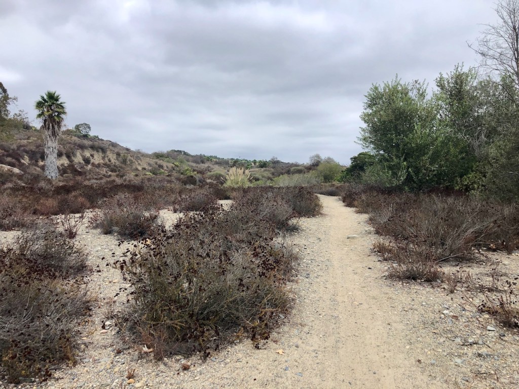
The trail became sandy, like a wash at one point, which brought to mind snakes, who bury themselves in loose sand.
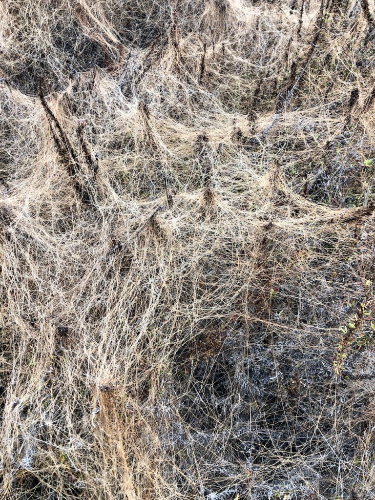
This shrub was entirely covered in another parasitic plant, resembling cobwebs.
In spring these buckwheat plants would be flowering white, but in October are dried up, with a purplish tone.
Still not a soul along the way. This section was relatively flat, and great for running.
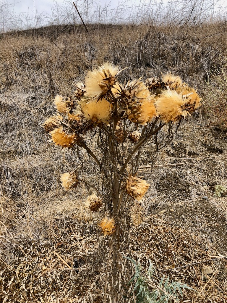
A dried up thistle is somehow also very beautiful.
I was on my way to Oso Parkway, where I planned to use the overpass to cross to the other side, unless I found a better way, that did not involve wet feet.
The Cutover Trail
I discovered a trail up ahead on my map, heading across the creek on my right, and decided to investigate where it led.
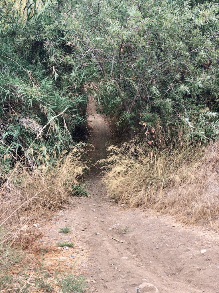
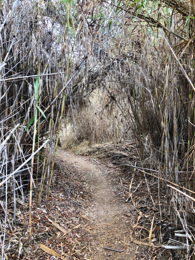
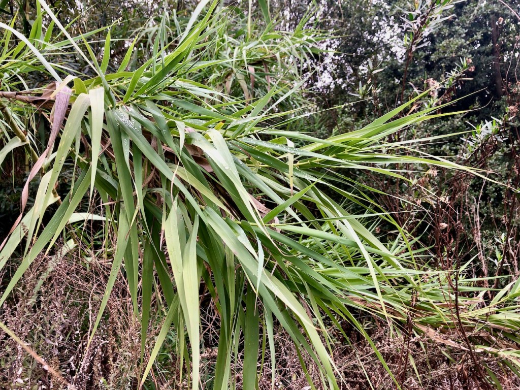
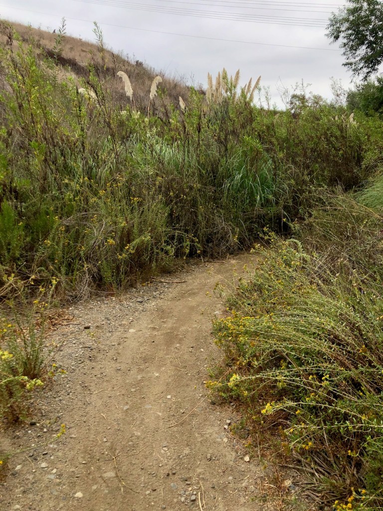
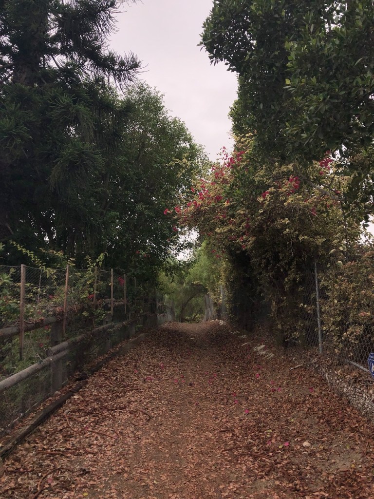
The cut-over trail seemed to meander through tall brush and reeds. It was some of the thickest bamboo I had been within yet in Orange County.

As I walked through these dark tunnels of bamboo, I could not help but wonder what lives there.
Something has a den in here for sure, I thought. It was definitely spooky.
I continued on, not knowing exactly where I was headed. I cast out fear, replacing it with faith.
I came to a dead end, reaching Trabuco Creek. There was no option to skip over it’s wide berth, so this was my turnaround point.
I did not feel like wading through Trabuco Creek and getting my feet wet, so I backtracked, back on to West Arroyo Trabuco Trail.
I was not only getting in a workout today, but it had definitely begun to feel like I was on an adventure, with all the twists and turns through these trails unknown .
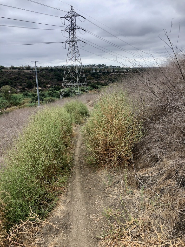
On my way towards Oso Parkway, I passed under some eerie high tension power lines, incessantly buzzing above my head.
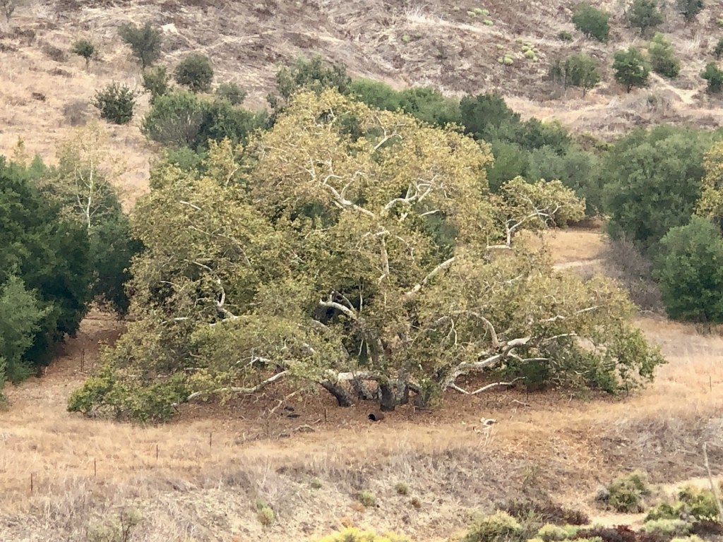
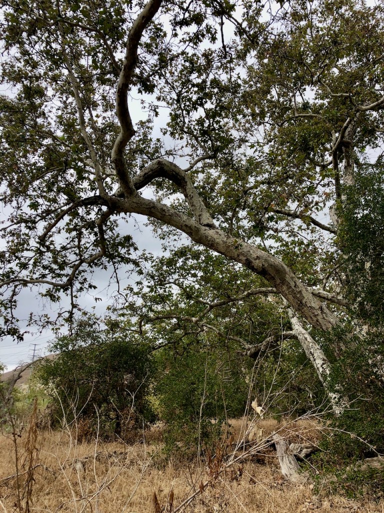
The narrow sliver of trail began to climb the ridge a ways, before dropping back down through a grove of Sycamore and Oak Trees.
I love any trail that includes these beautiful and majestic trees.
I was now right by Oso Parkway, and had a decision to make. Would I continue back the way I came, go on an even longer adventure?
After walking through the valley, towards the creek, I realized was able to easily reconnect with the Arroyo Trabuco Trail on the other side, without using the overpass.
I thought I might have to walk across the Oso Parkway bridge. But fortunately, I was actually able to hop right over.
After a brave leap I was on Arroyo Trabuco Trail. I had been on this trail before a couple of times, and it felt very familiar to me.

I made a right, continuing my loop, still unsure how I would end this hike.
Decisions
Would I cross back over the creek, and do a short loop, at Crown Valley? Would I take a chance and explore the Ladera Ranch trails? I decided I would see how I was feeling once I reached the area of Cox Sports Park and Crown Valley.
I started to see a lot of people walking, and bikes, once on Arroyo Trabuco Trail. The west side of the creek, and West Arroyo Trabuco Trail are not as popular, possibly since it was not as well maintained.
There were several other fun singletrack trails I noticed, on this side of the creek, that mountain bikers were riding.
I stayed on the wide flat Arroyo Trabuco Trail, heading in the direction of the Ladera Ranch Trails.
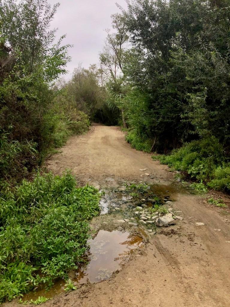
There were a few puddles and mud along the way.
I reached the Cox Sports Park area, and had the option to cross the creek here, heading back to my car.
I opted for a longer adventure, and was feeling up for the challenge.
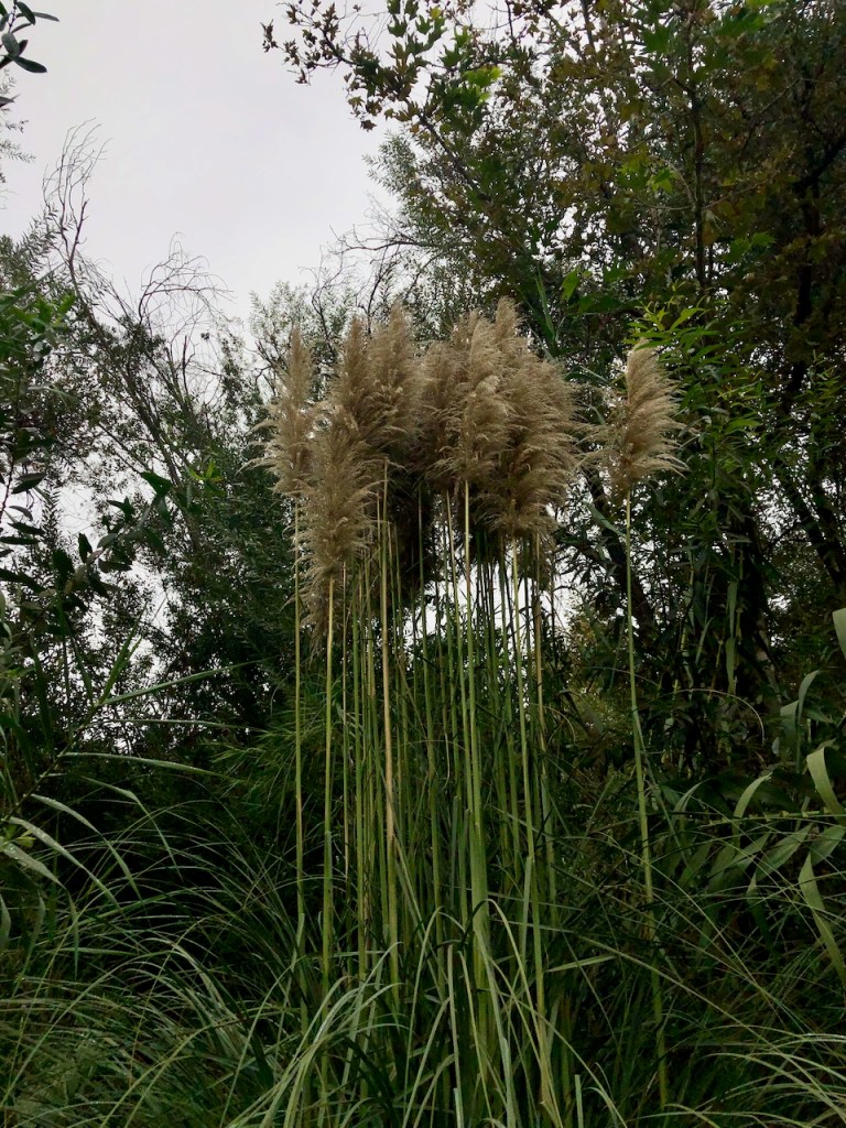
This is some of the giant bamboo I encountered.
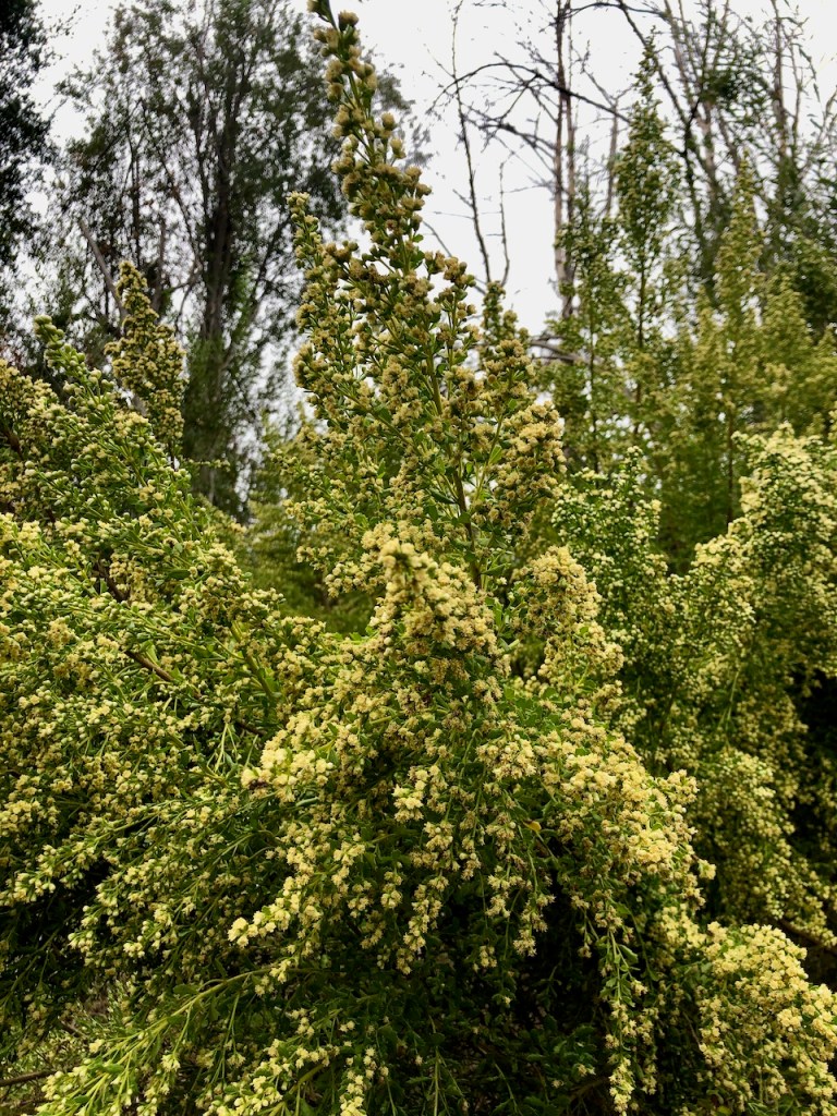
A flowering native tree, that thrives in the creek bed.
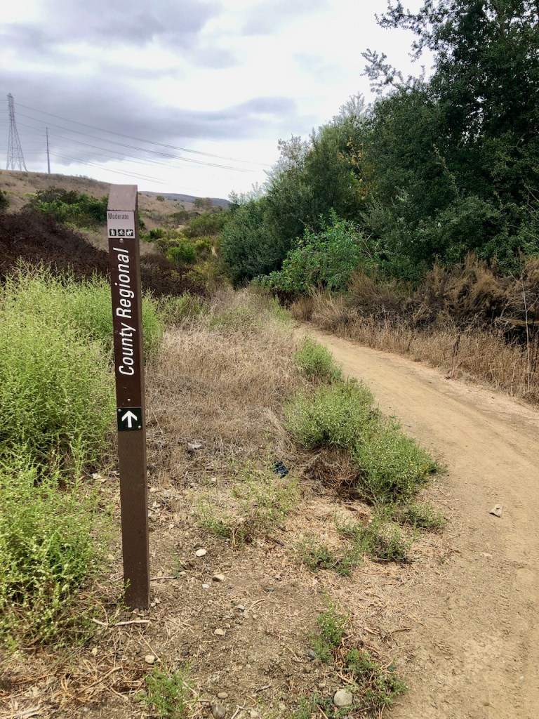
I passed under the Crown Valley Parkway bridge, and came to a sign for Regional Park Trail.
I followed it, down a single track, through some marshlands.
The trails were now called the Ladera Ranch Trails, as I made my way through more marshlands.
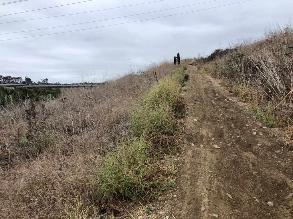
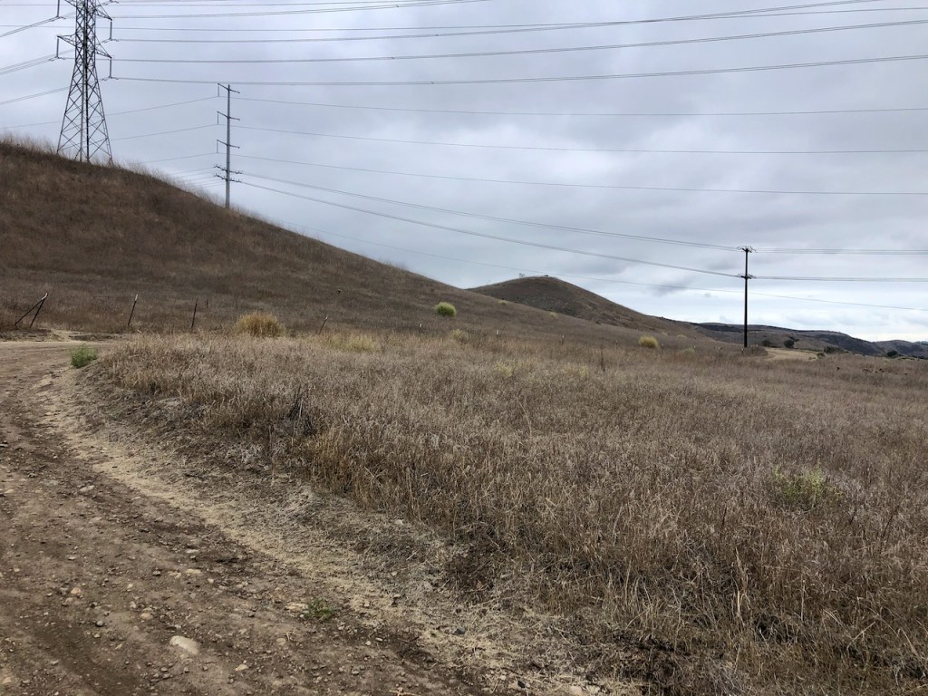
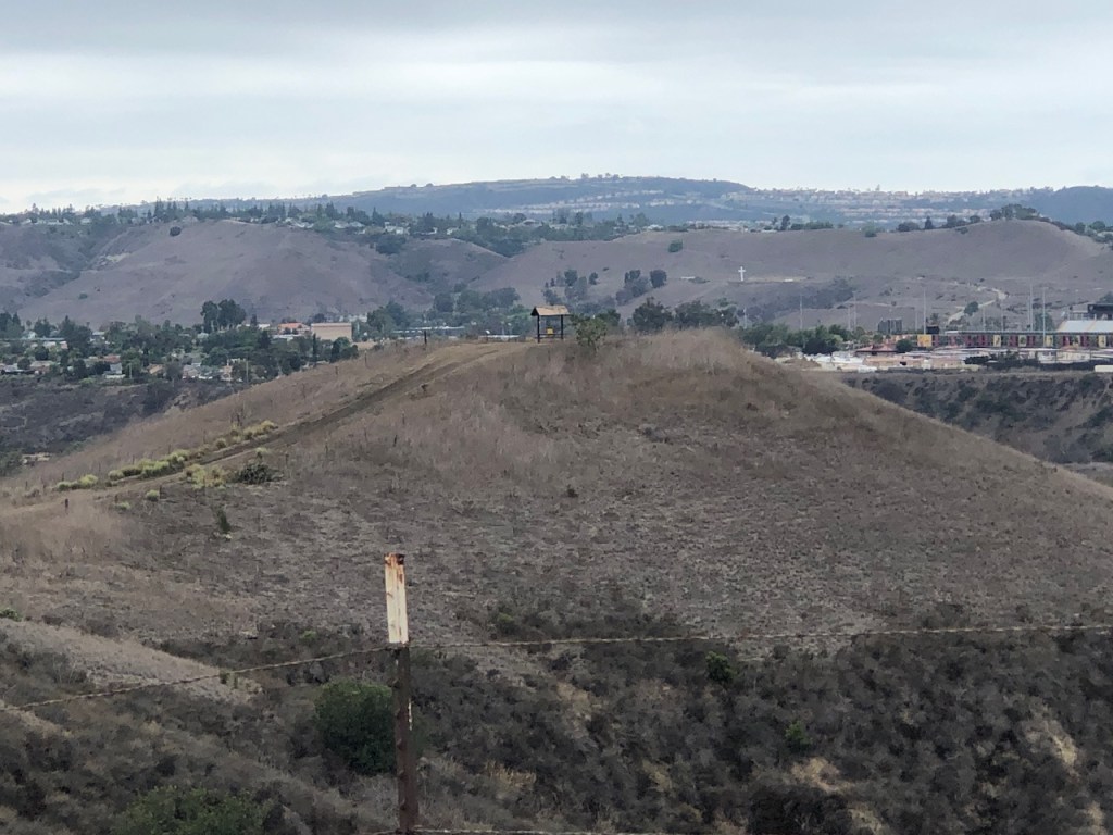
The trail climbed through a set of power lines, atop a barren looking hill.
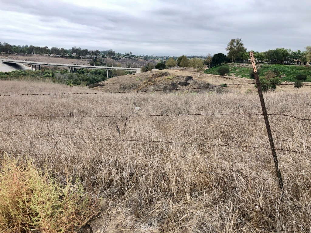
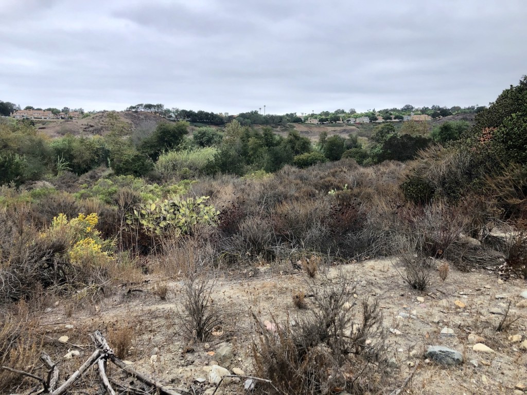
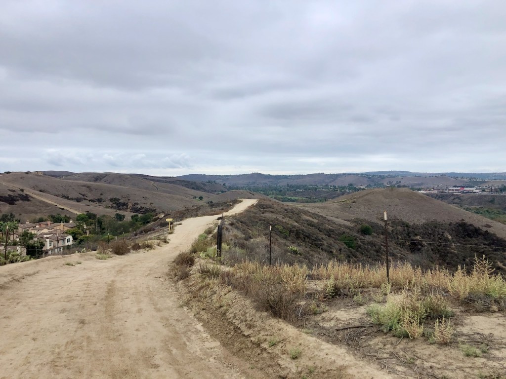
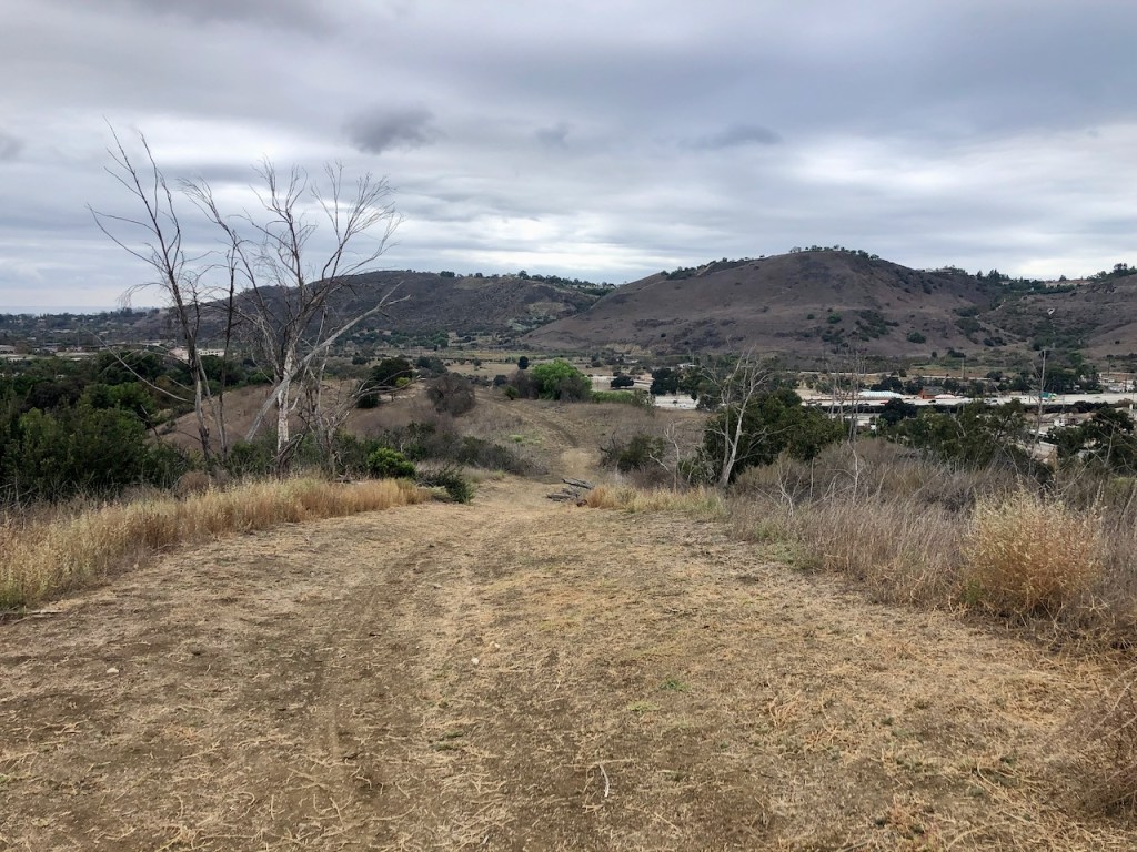
I climbed the first hill, and noticed what an amazing view there was from this ridge.

The trail was hard to follow at this point, so I consulted my alltrails map.
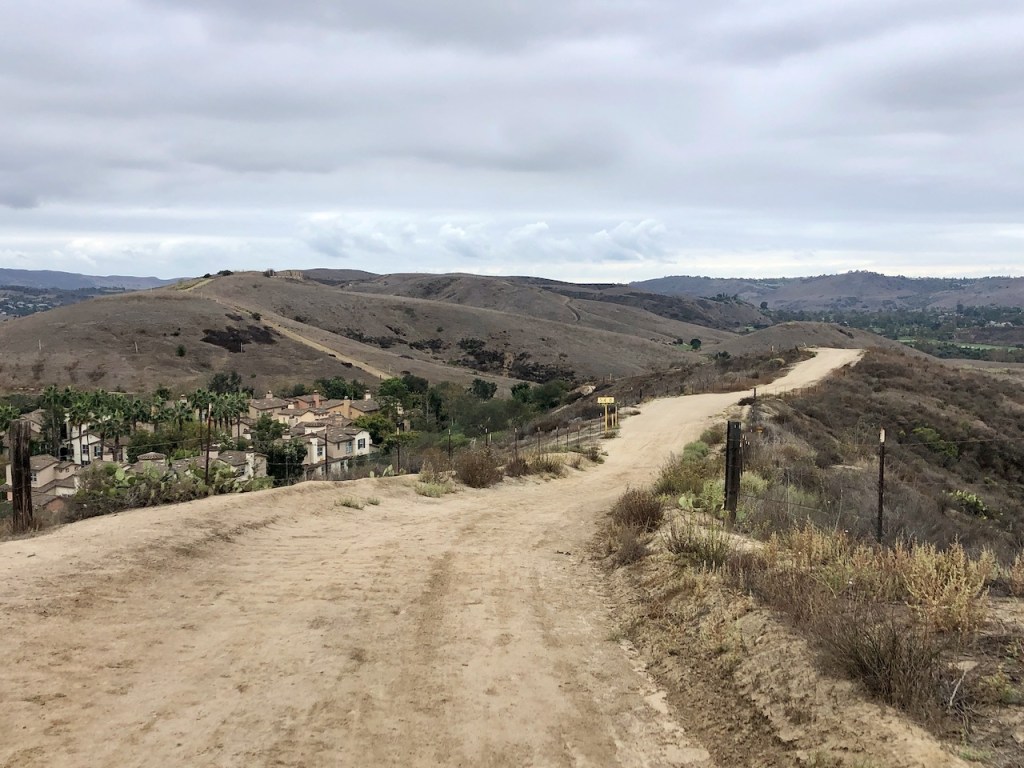
I noticed there is not just one rolling hill to climb in the distance, but many.

There were even more power lines, which is never something I like, when on a hike.
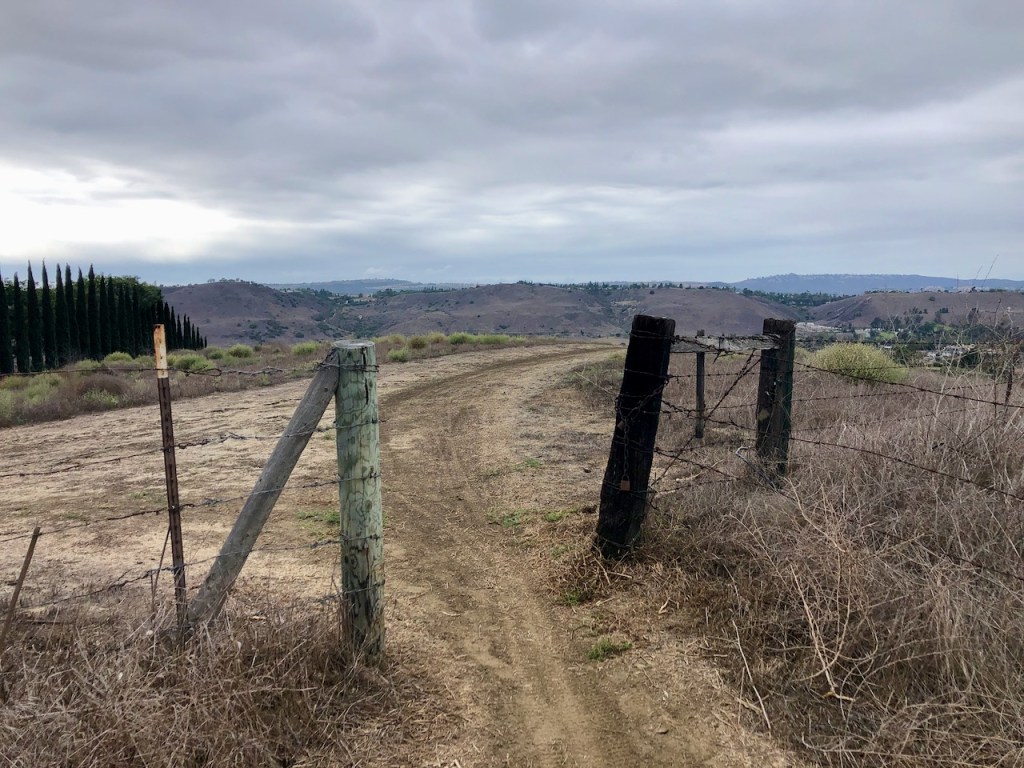
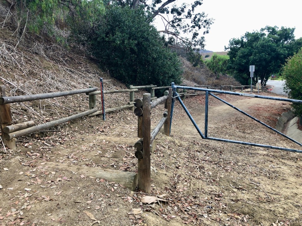
Eventually I came to a gate.
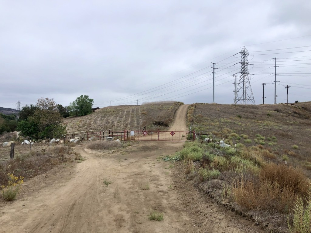
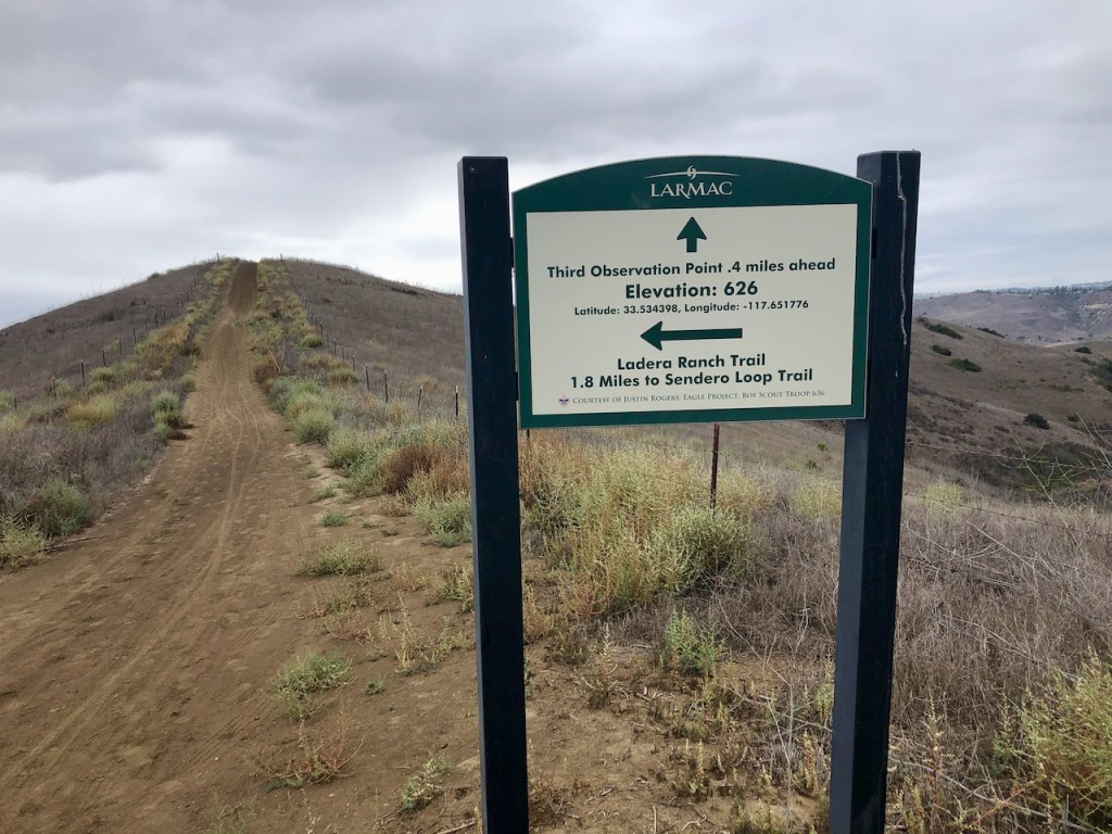
After passing through it, there was a sign for the Ladera Ranch trails.
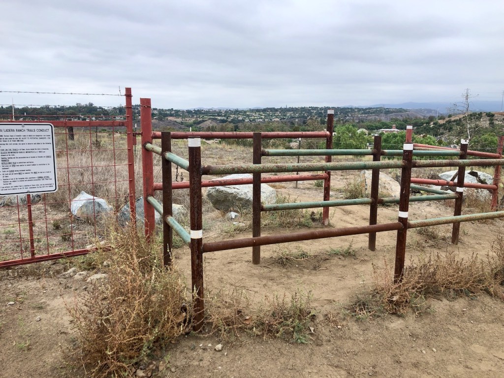
The sign indicated a fun fact, that I was 528 feet above sea level. There were various “observation points,” and the mileages to take note of.
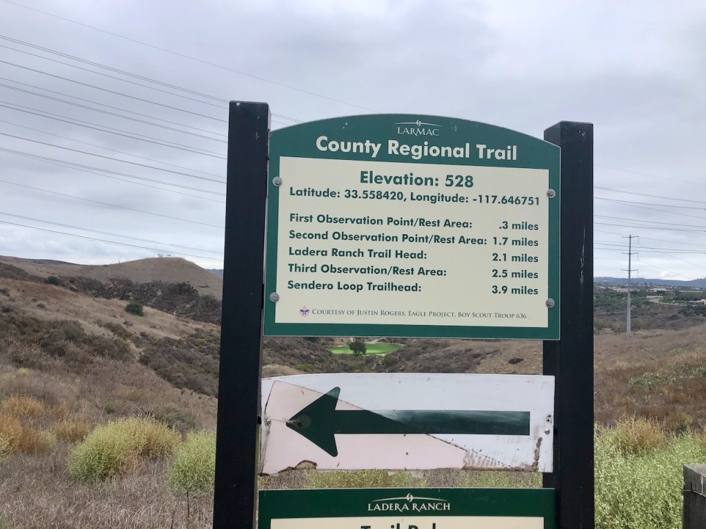
I was glad to have some idea of how much mileage I was looking at.
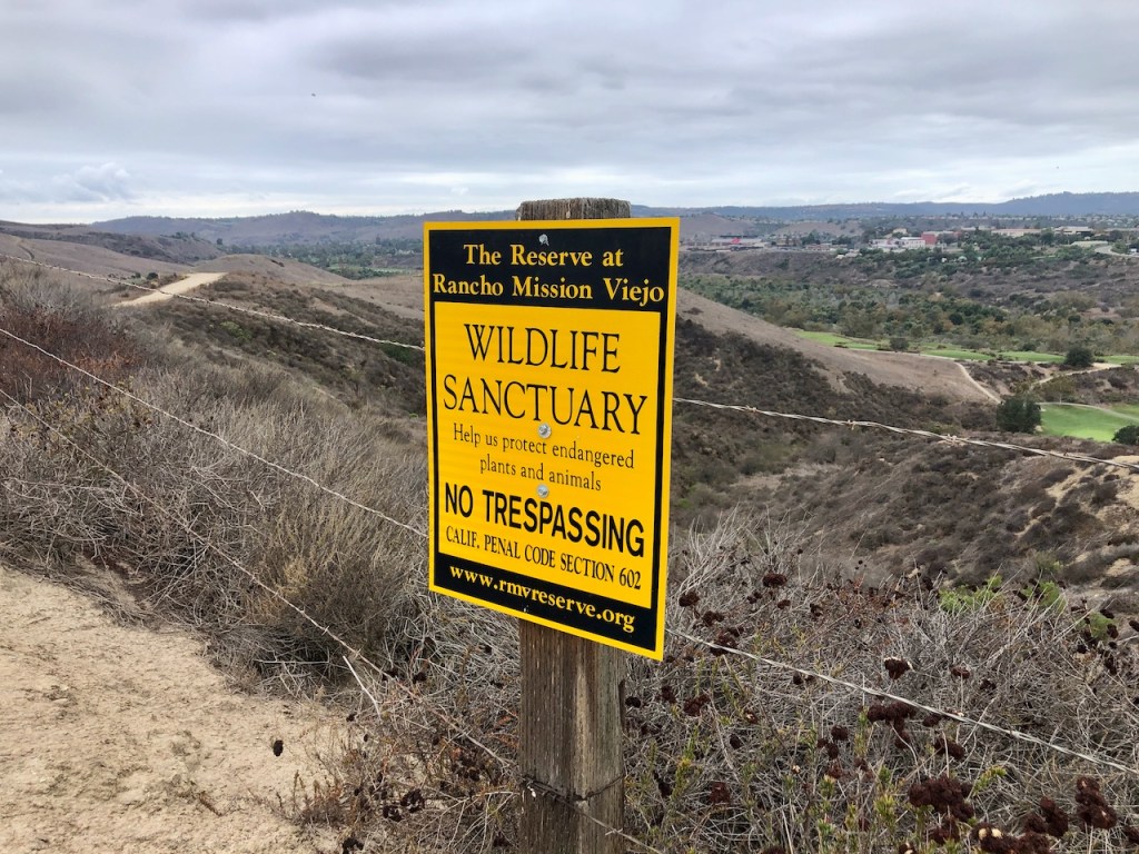
I was within the Rancho Mission Viejo Wildlife Sanctuary, and despite being within civilization, under power lines, it still felt like I was getting away from it all.
There seemed to be maybe 5 or 6 steep rolling hills ahead of me. This definitely would be a challenge.
I can spot some of the overlooks, or “observation points.” There are shaded picnic tables and benches at each of them. This is the same type of structure I found throughout my hike on Catalina Island.
Some of the overlooks were well off trail.
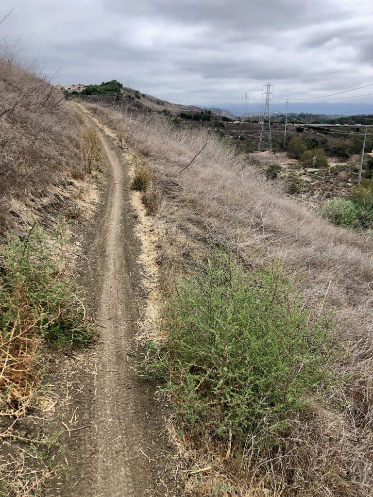
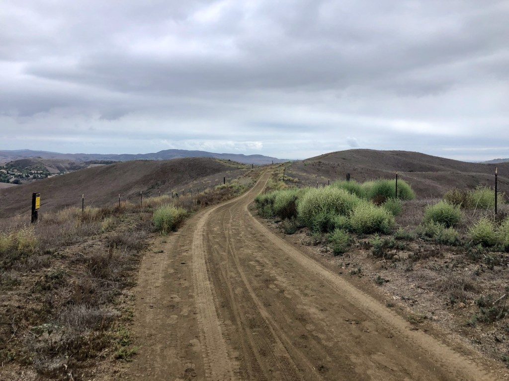
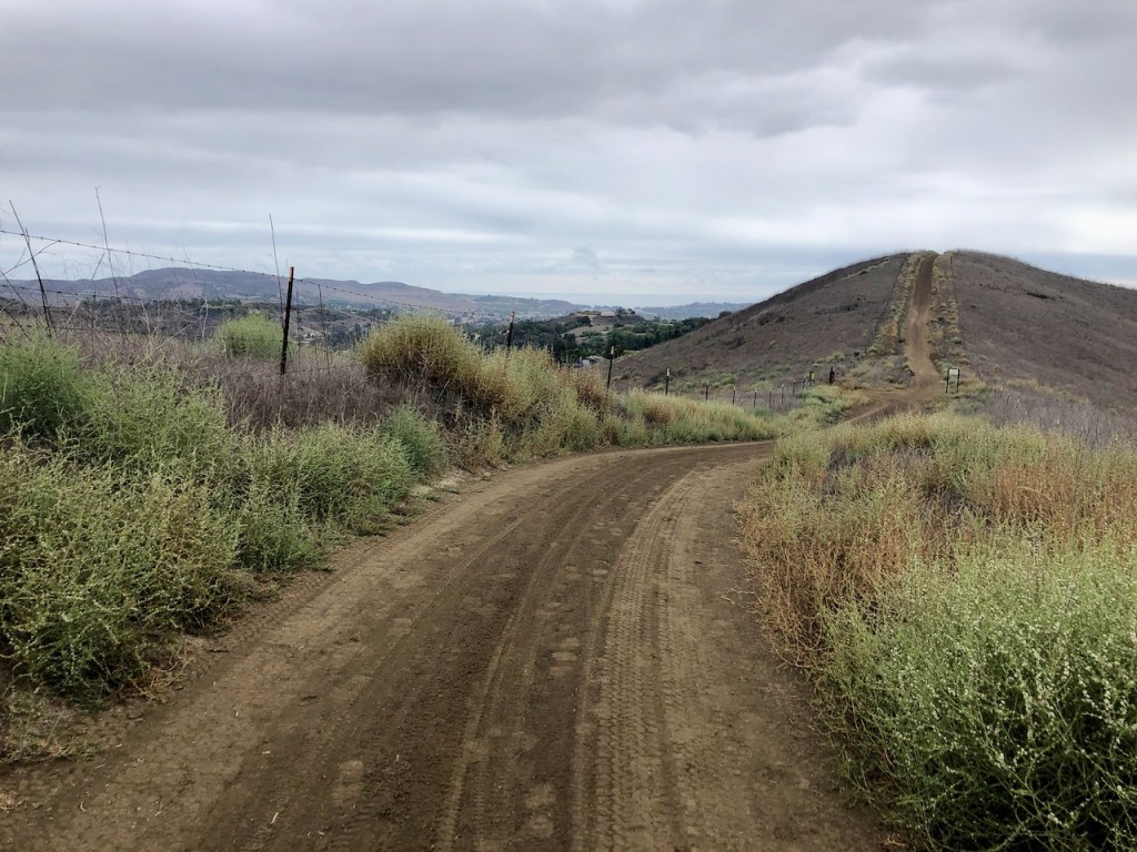
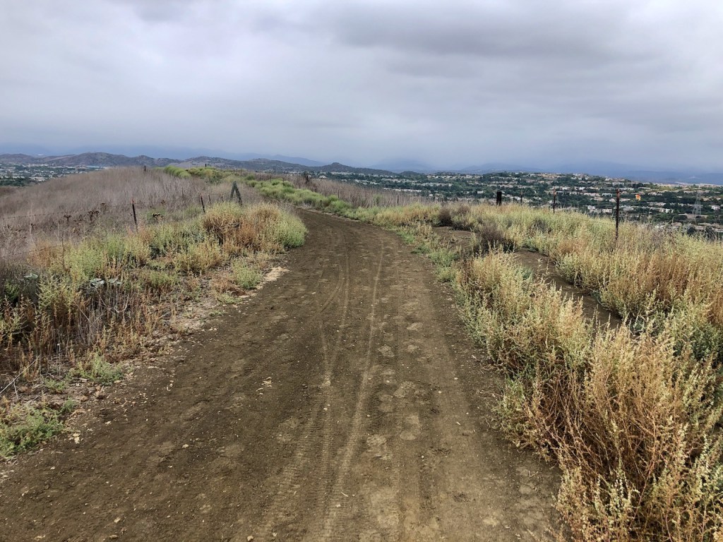
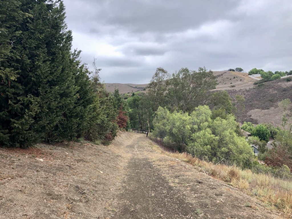
It was a wide fire road along the ridge line.
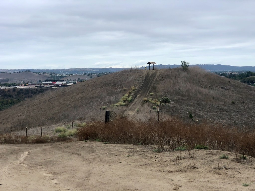
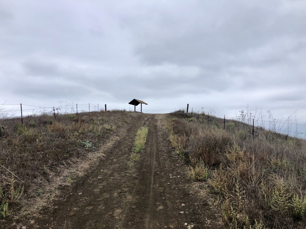
I decided I would explore at least one of these overlook areas.
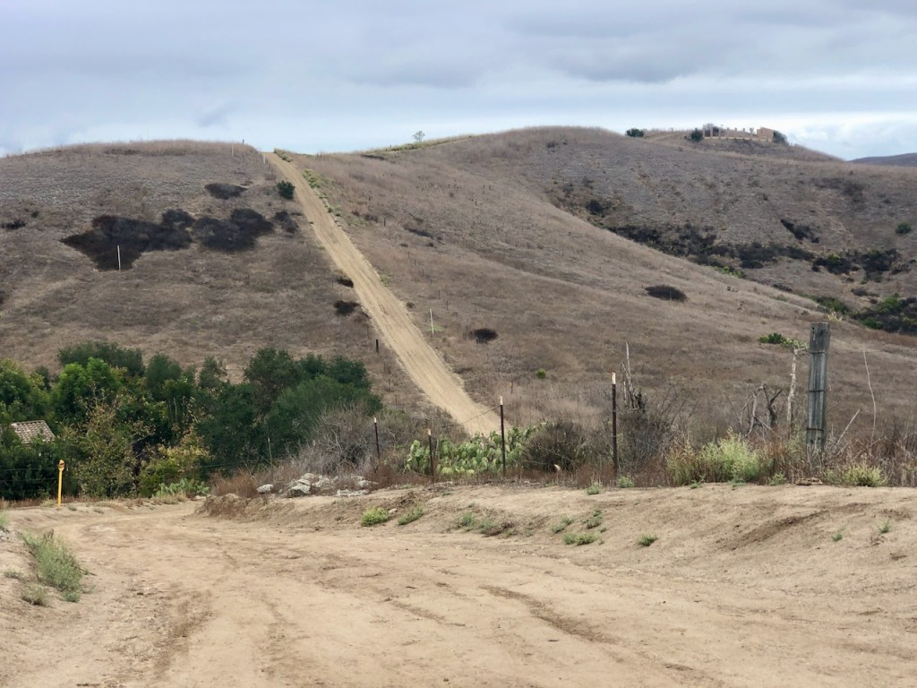
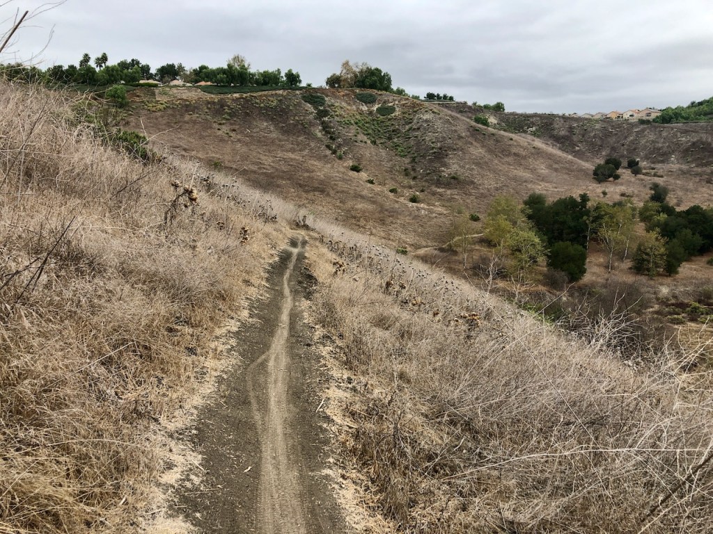
I would climb one hill, only to find yet another rolling hill up ahead of me.
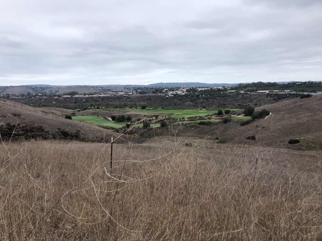
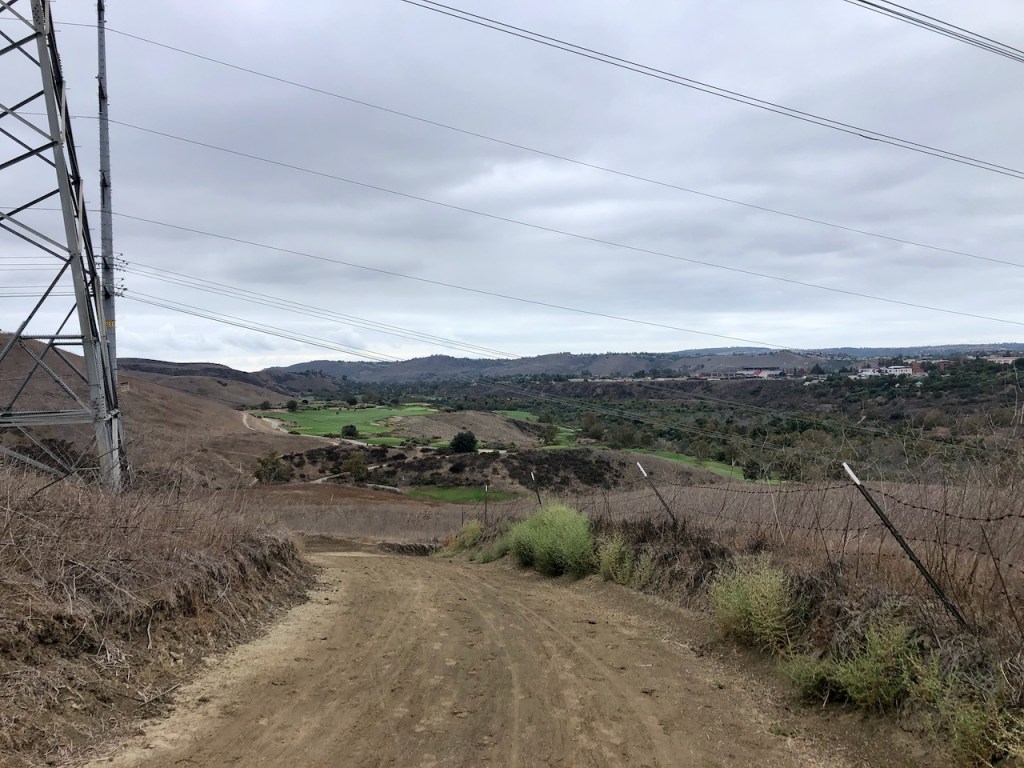
I spotted the Arroyo Trabuco Golf course down below, off to my right.
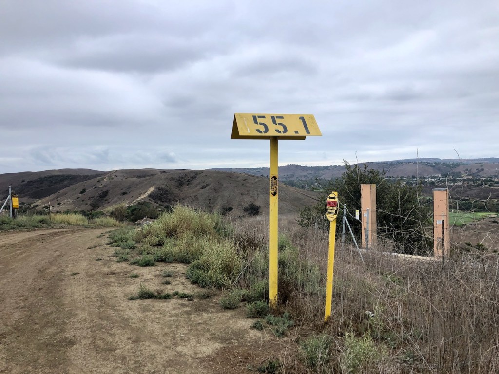
These yellow markers correspond with gas lines.
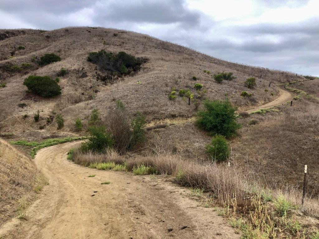
The hills were brown, and dry, yet I was stil curious what lie around each curve in the road.
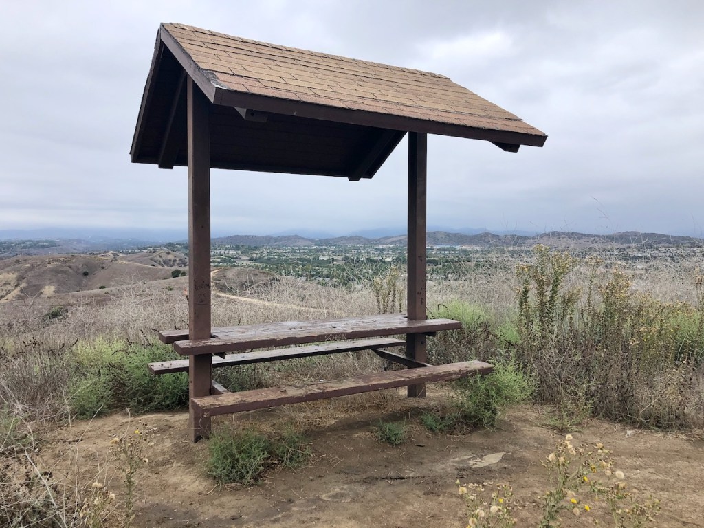
I decided to check out an observation point, and find it in disrepair.
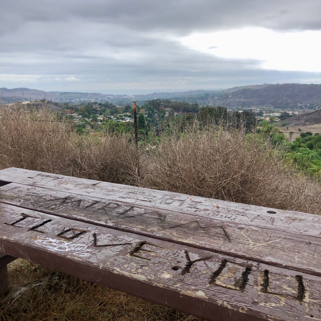
There are other ways to say you love some one than this.
These picnic tables have been evidently loved a bit too much. They have endured a lot of abuse over the years.
They were rotted, full of carvings, and have graffiti on them.
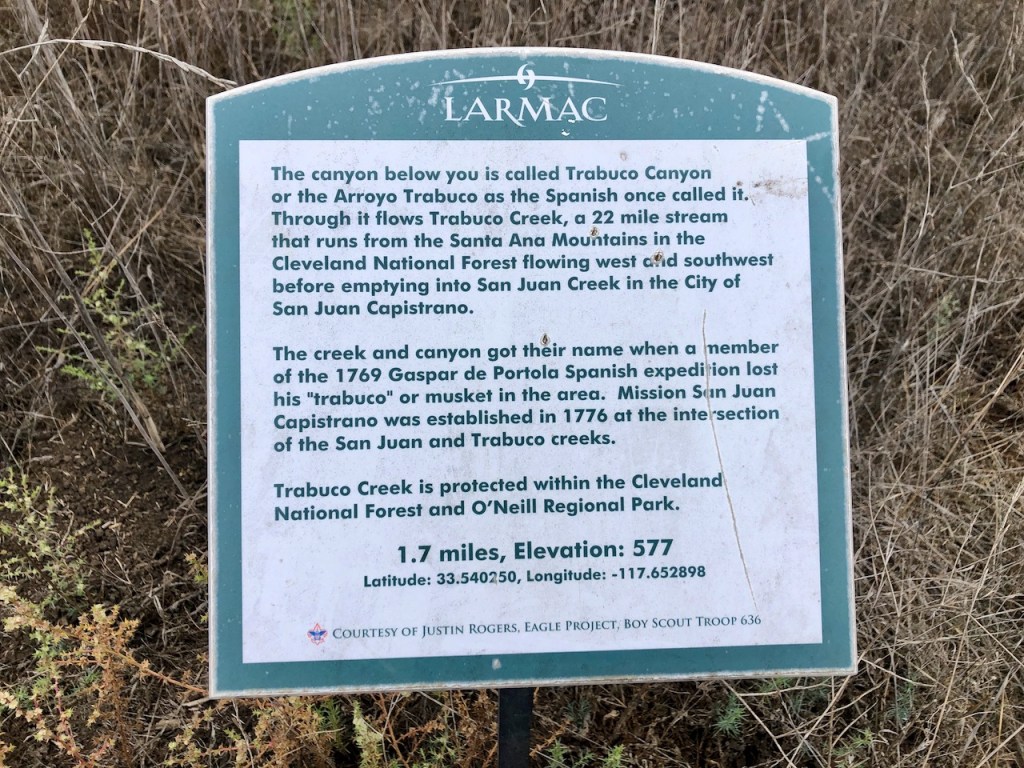
There was a sign telling about the history of the surrounding area. This is still an ok spot, to get away from it all, or watch the sunset from, and take a break, in spite of the picnic tables.
I continued running through the hills, getting in my workout.
I had no idea how many miles this loop would be. I just knew the faster I ran, the sooner I would be done, and the better workout it would be. I had to be careful of the occasional rut, but for the most part these were fire roads, and fairly flat.
There was a gate into the neighborhood at one point, and I finally noticed another person walking on the trail.
A truck then passed me, with someone from the maintenance crew for Rancho Mission Viejo, which you may see, when hiking on this trail. Aside from this, the trail was empty, and I really felt like I was getting away from it all.
I had not visited the rolling hills of the Ladera Ranch Trails, and now was wondering why. It was a great workout, there were beautiful views of the surrounding foothills. I could even see all the way to Catalina.

I came to a metal gate, and a trail marker. The trail continued down a steep hill into Sendero, off to the left, with another creek crossing, over Horno Creek.
Those trails, will eventually lead to Antonio Parkway, which is where the Ladera Ridge Trail begins, at Avendale Blvd. You can read about my hike on the Ladera Ridge here.
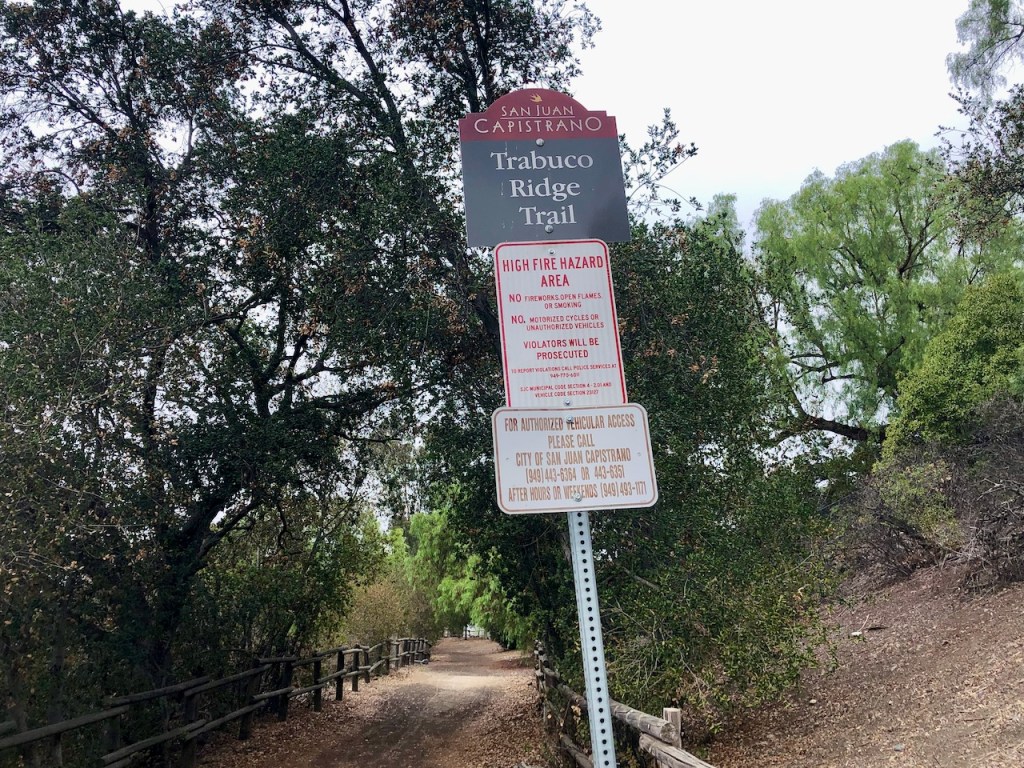
I opted to hike on to the right, where the Ladera Ridge Trails eventually become Trabuco Ridge Trail, before letting you out by a footbridge on Camino Capistrano.
The trail was fairly unmaintained heading this way from the ridge, and not well defined. It was also steep, and had loose soil, so I slid around a bit.
I came to another trail entrance from the neighborhood below.
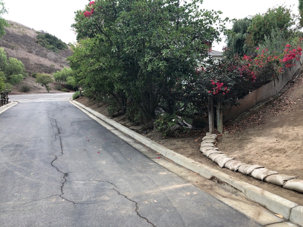
After the trail snakes its way between the houses, under some shady trees, and through a neighborhood, on what looks like horse trails, I finally reached Camino Capistrano.
The trail in this section were sandbagged to prevent erosion, and covered in lots of leaves.
Then the trail leaves the neighborhood somewhat, and you find yourself above the homes below.
Eventually I reached Camino Capistrano, where I would make a right.
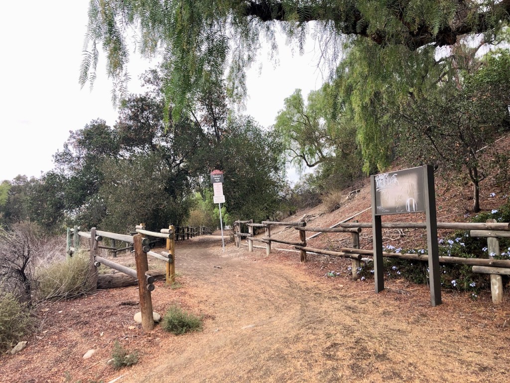
I crossed this footbridge over the creek.

After crossing the bridge, and making a right, I would make another right, down Trabuco Creek Rd, a side street that takes you back to the Arroyo Trabuco Trail, via a trail called O’Neil Pathway. That concluded my hike for the day.
Conclusion
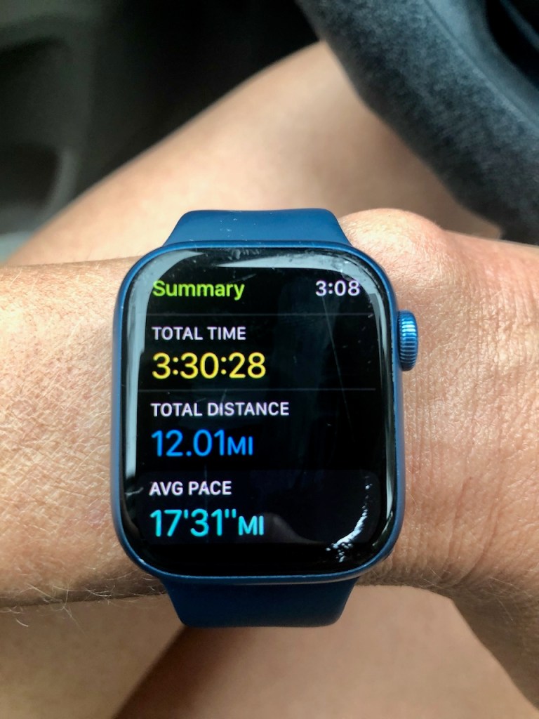
For this 12 mile loop, I had combined part of Arroyo Trabuco Trail, with the Ladera Loop Trails, and the Trabuco Ridge Trail. Next time I hike around here, will likely try a different section of the Ladera Ridge Trails. I really enjoyed trail running on this particular trail. I am always excited to explore somewhere new.
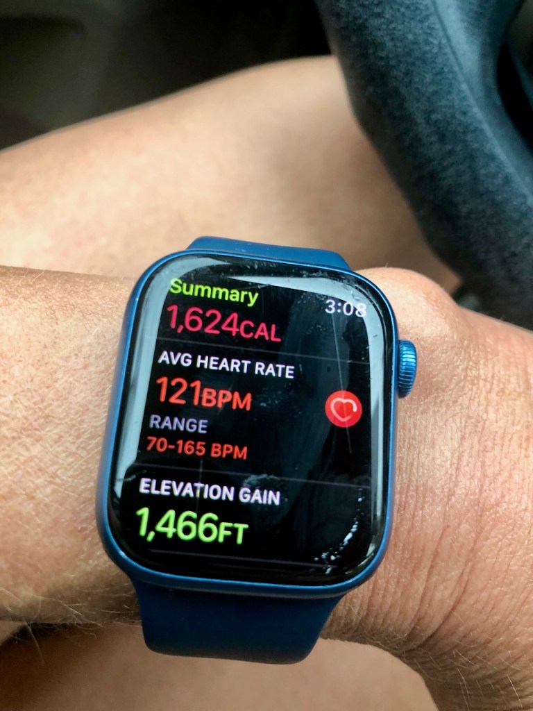
Stats
My trail run, and hike was 3.5 hours. It was 12 miles long, with 1466 feet of gain. I always try to push myself a little bit more, when I have time. It’s about what is your best effort, not about comparing yourself to others personal best.
Side Notes
Trabuco Creek Rd. felt a little deserted. It is the overflow parking for the Village San Juan Townhomes on the other side of the wall. There was also a strange looking property with lots of tents on it, advertising goat yoga, on my right. I definitely felt like I was on the fringe of society now. I might next time opt to walk through the Village San Juan Neighborhood instead, if I did this loop. adding more mileage. Many vehicles appeared to be home to transients. Whenever you find yourself in an unfamiliar area, it’s always good to proceed with caution.
Maps
About me
I’m Serafina! I’m a writer and California girl who loves to go exploring. Hope you will get outside today, breathe some fresh air, and be happy!
Follow my Journey…
Be sure to Like and Subscribe to My Youtube Channel where I post videos!
Disclaimer: The work on this blog is my opinion and my opinion alone and I am not responsible for the outcome if someone were to apply these thoughts to their own life. All text and photography copyright 2022 by Serafina, all rights reserved. Information and opinions provided are kept current to the best of the author’s ability. All readers’ usage of the ideas and opinions presented in the blog, are at their own risk. Be aware of the possible dangers of hiking, surfing, walking, cooking, and other activities, which may take place indoors or outdoors. By reading this, you agree not to hold the author or publisher of the content on this web site responsible for any injuries or inconveniences that may result from reading the blog, or partaking in any activity mentioned in the blog. Read the blog, and use its ideas, if you so desire, at your own risk.
