
Sierra Peak hovers right above the 91 freeway corridor at 3042 feet. It is sandwiched between Corona, CA and Yorba Linda, CA, as the northernmost peak, in the Santa Ana Mountains.

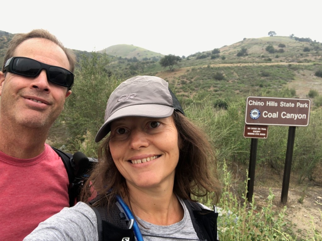
We would be hiking from the Orange County side, up Coal Canyon past Fremont Canyon and the Cypress Reserve. The most popular route to Sierra Peak is via Skyline Drive. Other routes includes the ultra steep yet shorter Fresno Canyon, and Pipeline trail, created by power companies to access their lines.
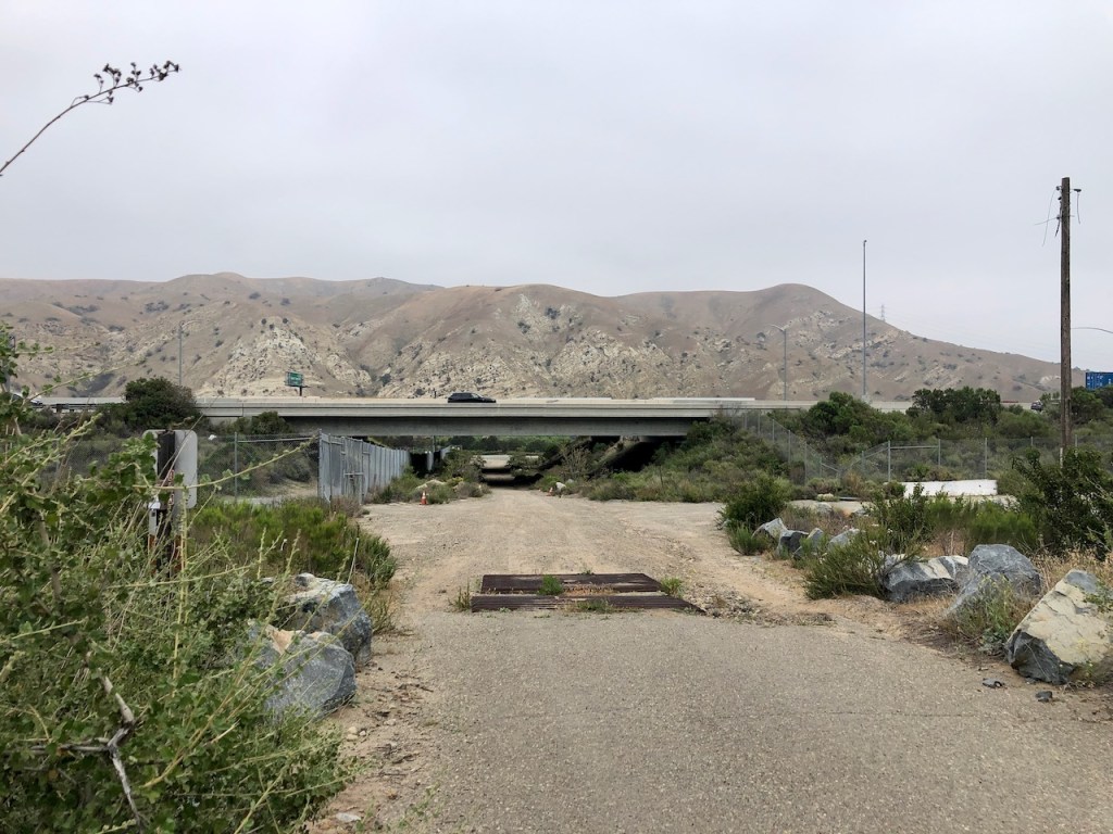
This adventure would begin alongside the Santa Ana River, from the parking area, next to the 91 freeway. This part of the hike heading to Coal Canyon was very loud to say the least.
Once we passed under the bridge to Coal Canyon, after about a mile or so walk, the sound slowly faded, the further we trekked in the wilderness.
Coal Canyon was once a cattle ranching area and there are remnant of cattle troughs along the way.
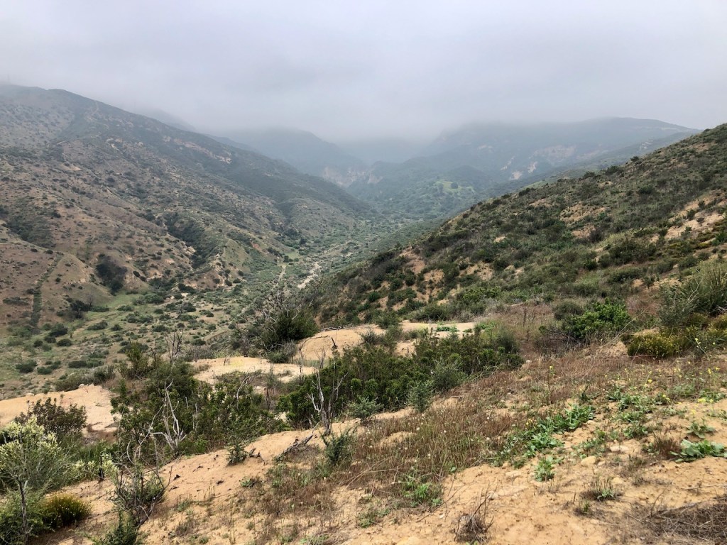
It was a misty morning on the way up to Sierra Peak, but the clouds would soon fade.
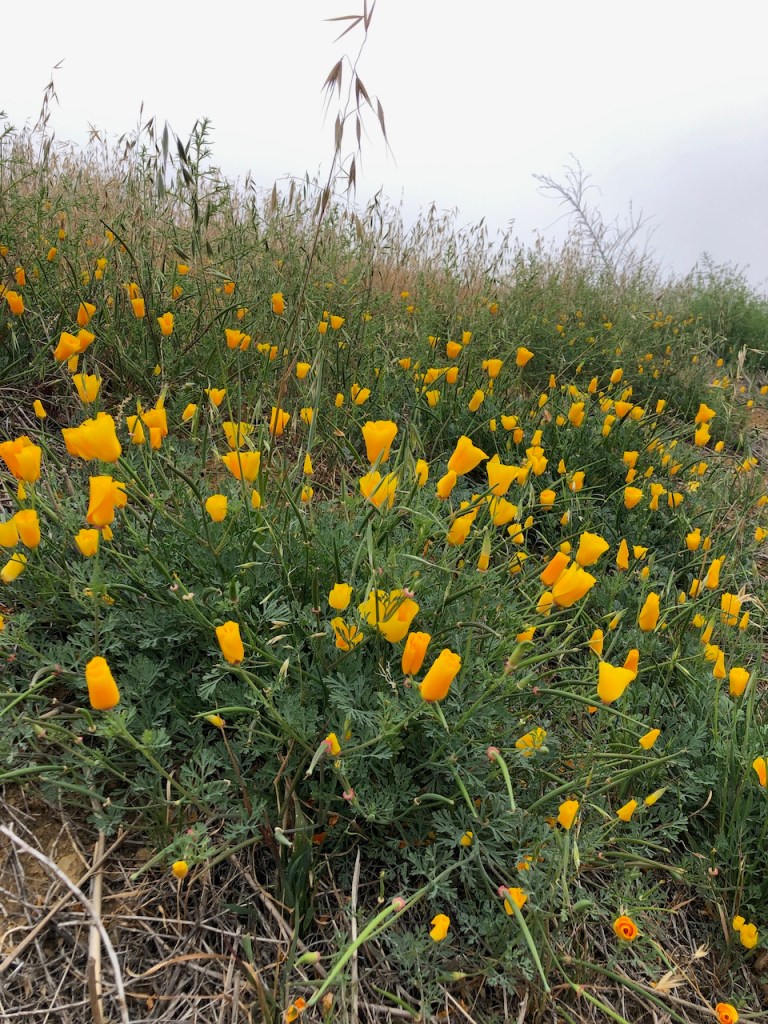
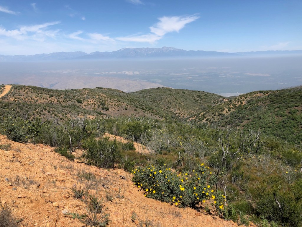
Along the way poppies were in bloom in April, since it was springtime in the Santa Ana Mountains.

I passed by a metal gate like this, and came to an information board with maps, rules, and regulations for the area.
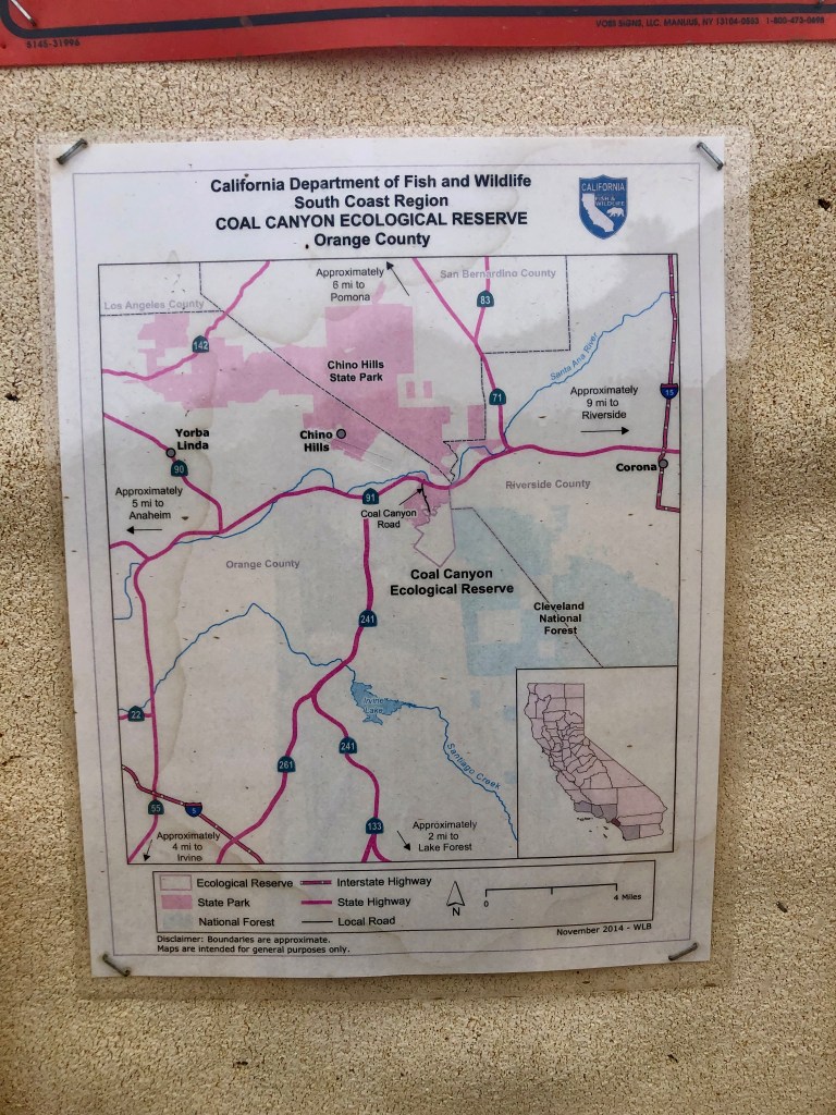
Apparently from what I gathered, this area is an Ecological Reserve. I would later discover is is home to the Tecate Cypress Reserve as well, further on up the trail.

These maps were complete with GIS coordinates, and definitely seemed accurate. There was more information on hunting and camping regulations. I wondered what people might come up here to hunt, and also when the season for it was.
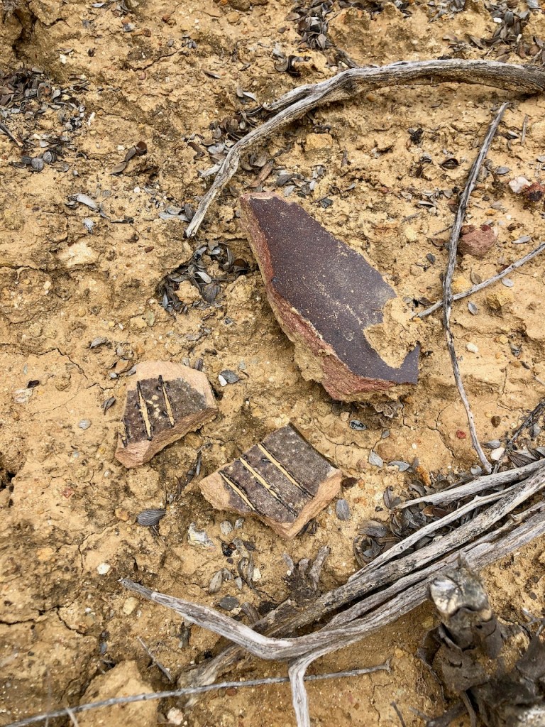
There were all these chards of smashed pottery along the trail. I put it together, that these are what remains of some sort of drainage system, made up of ceramic pipes, which was sort of unusual.
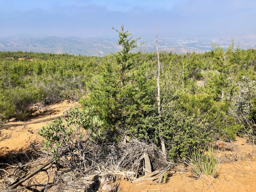
I finally was within the Tecate Cypress Reserve. This is a type of tree that grows as far south as Mexico, and is sort of rare. There is even a butterfly, that will soley nest in this type of tree, called Thorne’s Hairstreak Butterfly.

Coal Canyon trail leads you about 3.5 mile to Mini Moab, a scenic rock formation. It is an interesting rock formation, though it pales in comparison to the real deal. I still have not been to Moab, and it’s on my bucket list.
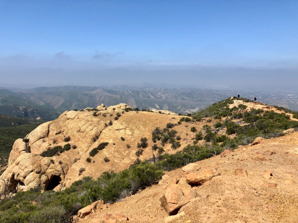
There were a few first responders doing some sort of training, and walking out on the rocky ridge.

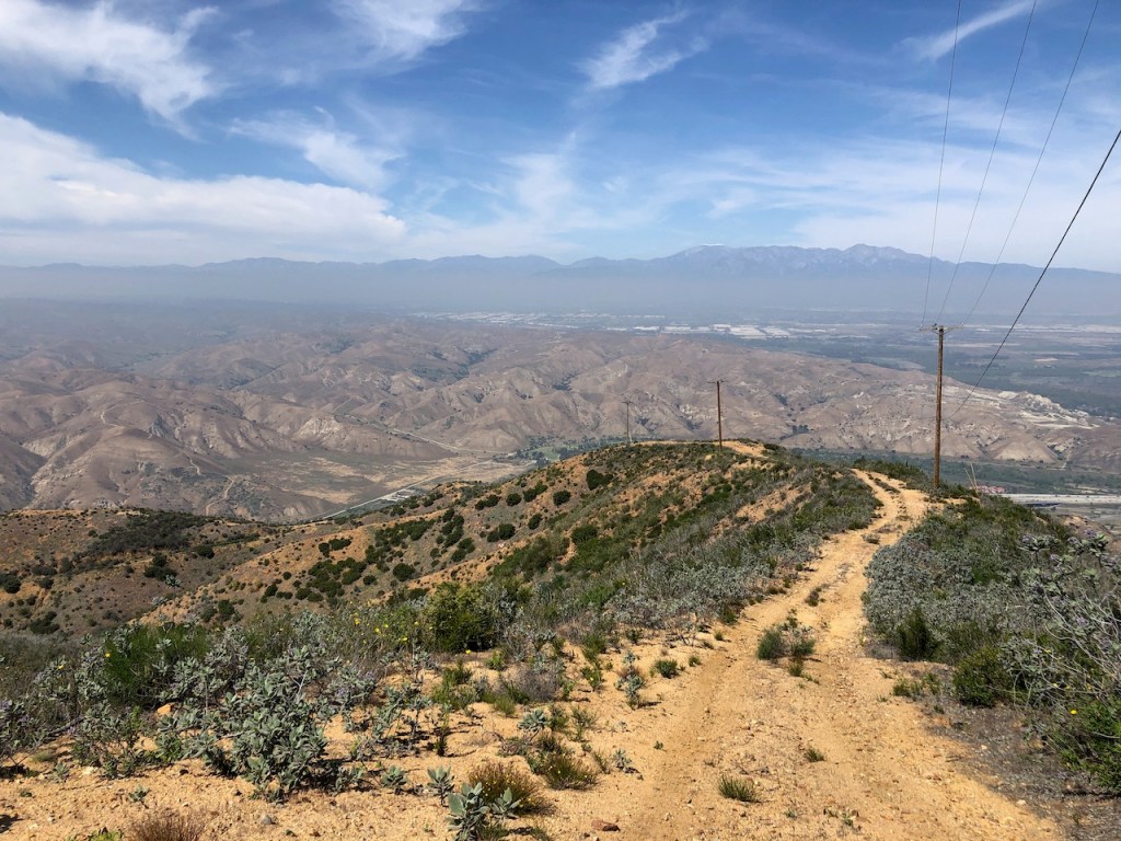
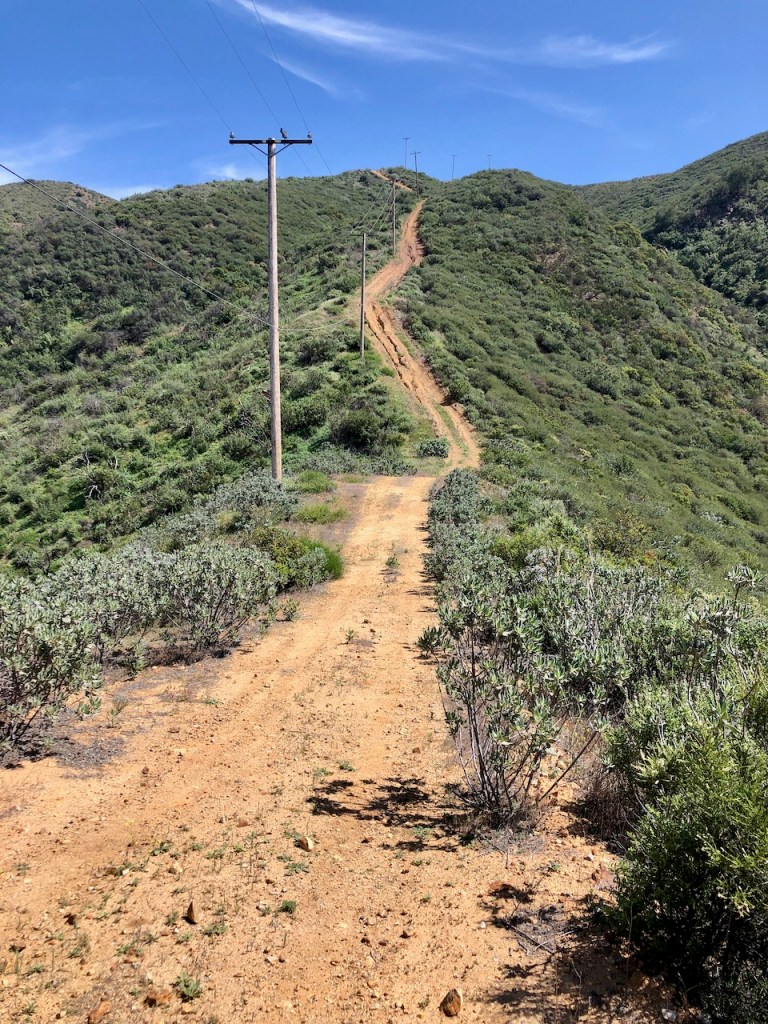
I could spot some power lines in the distance, and what I believed to be Sierra Peak, even further off past them, marked by cell towers.
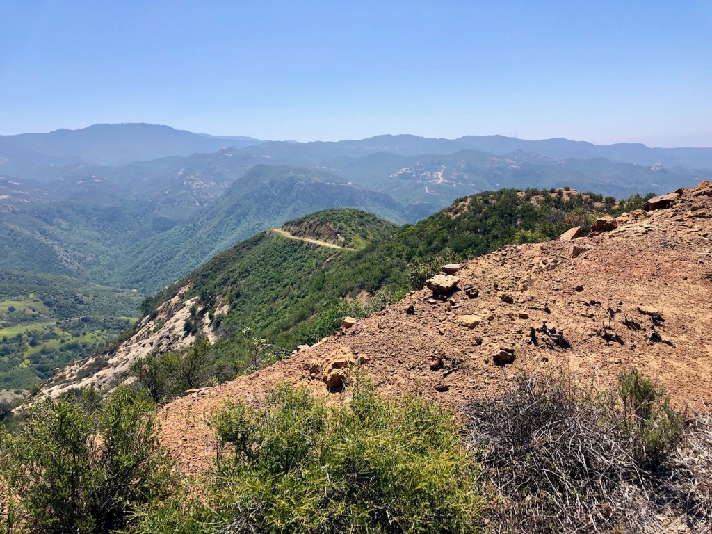
Fremont Canyon was off to the right, but sadly is off limits, except when they periodically open the trails.
I made it to Pipeline trail, a very steep trail, the heads down to the Coal Canyon Trailhead.
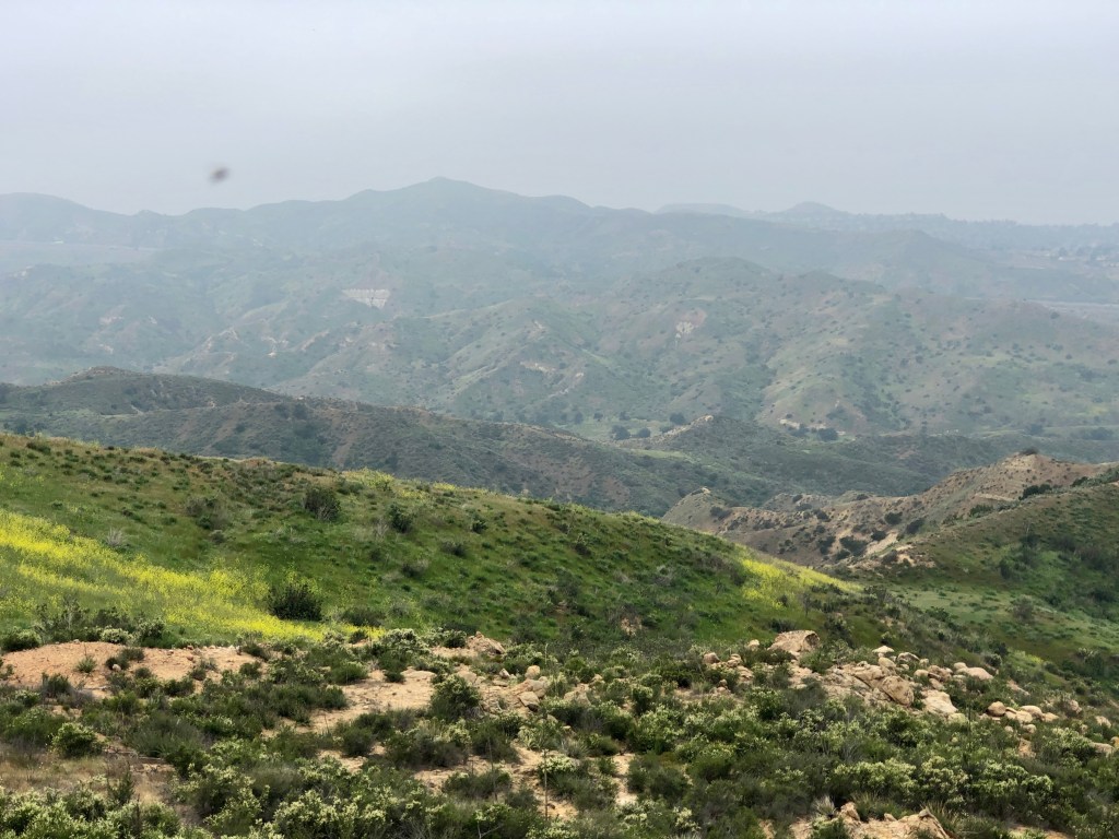
Everything was fairly green, despite not having much rain this winter. We were nearing drought conditions again in California.
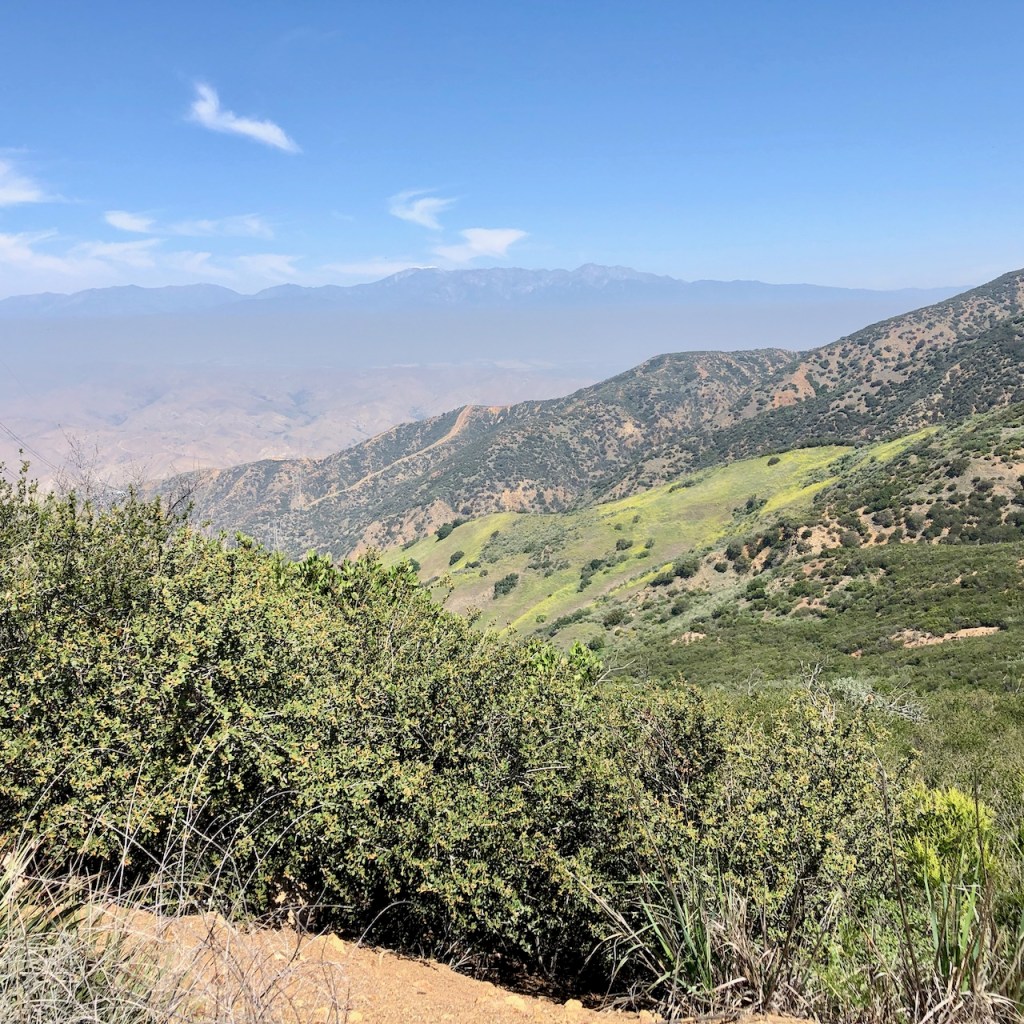
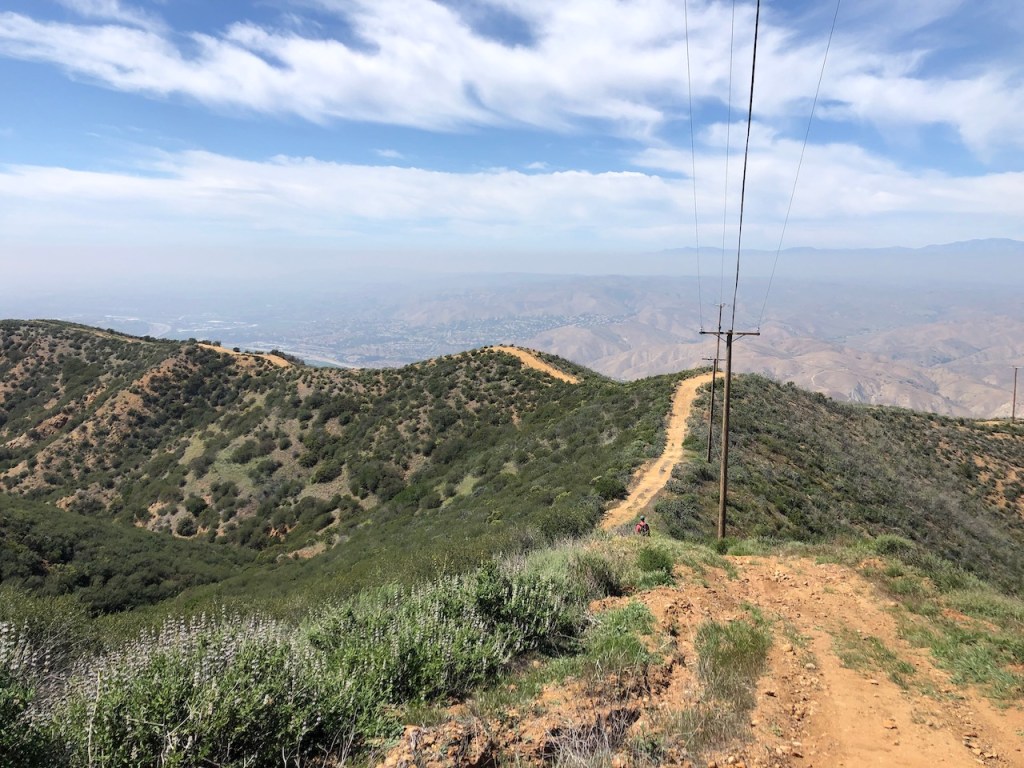
Glancing off to the left were the high peaks of the San Gabriels, the Angeles Forest, and San Bernardino National Forest. The more you hike, the easier it is to know where Mt Baldy is in the midst of all of these.
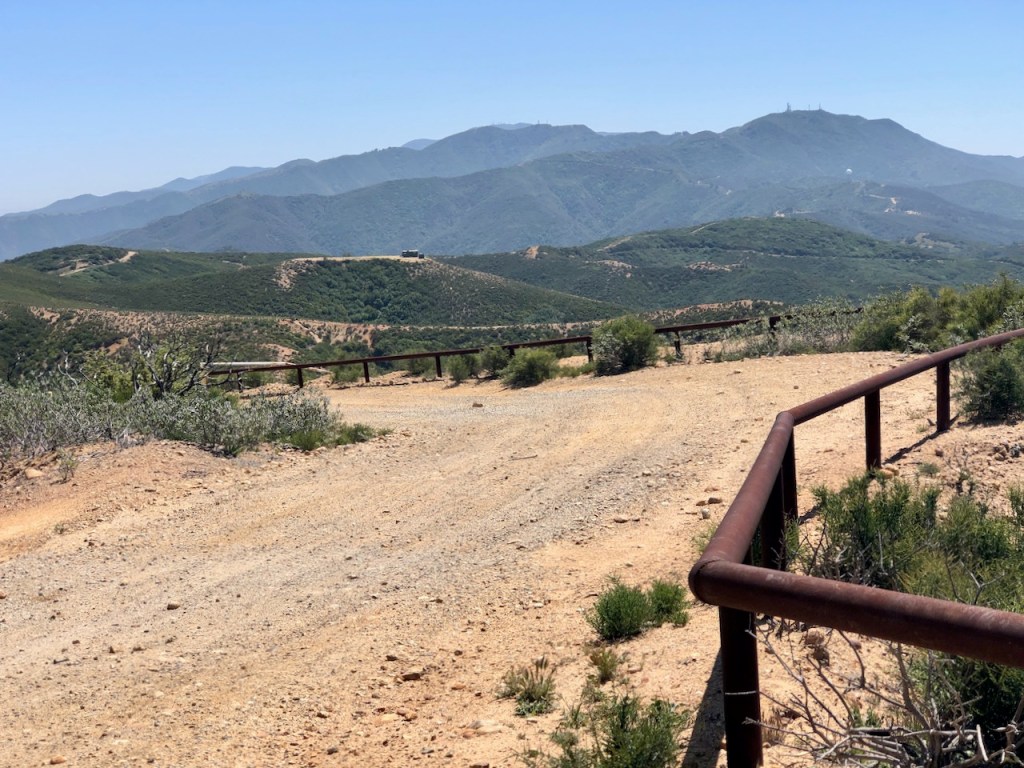
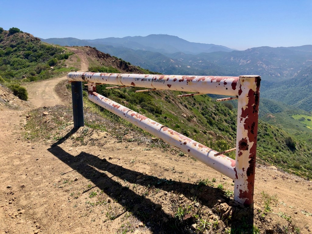
Glancing to my right, as I neared Sierra Peak, I could see Pleasants Peak in the distance, among others. I was now at Main Divide Rd, which is only open seasonally to vehicles. It is a wide, unpaved rough, and sometimes very rutted fire road.

I made it to Sierra Peak Elevation 3042! It was filled with cell towers, so I knew it was best not to stay long.
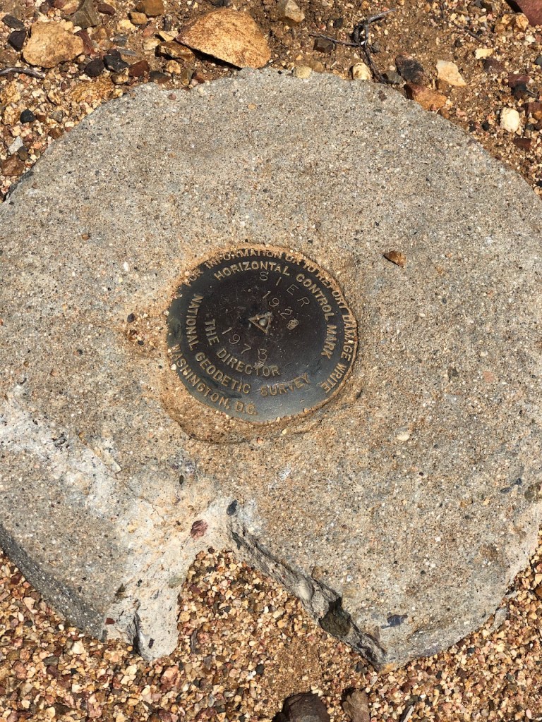
I easily found the USGS marker, but was no peak sign to speak of, so it’s best to bring your own if you go.
On the way back down I had this idea that I could go down pipeline trail, which is shorter distance wise, than Coal Canyon.
It’s the steepest trail I have been on in Orange County, aside from Car Wreck. But there were no rocks to get footholds on, just loose dirt.
It was like a slip and slide, and if I had a piece of cardboard, or a sled, I would have made it down in no time.
Since I did not want to ruin the pants I was wearing, I did a combination of side stepping, and walking backwards. Sometimes my only choice was simply squatting and sliding, while my trail running shoes lost whatever tread was left on them.
Banzai Pipeline
As I continued slip sliding a way down pipeline trail, it was etched in my memory, one of the most comical moments in my hiking career, when you think your idea will work, and it just all goes awry. I had my share of wipe outs on this banzai pipeline.

Pipeline trail got me good, but somehow I made it, by just taking my time. It was so long to the Coal Canyon, and the Sierra Peak loop. Now I would just head by the way I came, another mile or so along the Santa Ana River Trail, back to the parking area.
I hope you enjoyed reading this, and it is helpful in knowing what to expect, should you decide to visit here.
About me
I’m Serafina! I’m a writer and California girl who loves to go exploring. Hope you will get outside today, breathe some fresh air, and be happy!
Follow my Journey…
Be sure to Like and Subscribe to My Youtube Channel where I post videos!
Disclaimer: The work on this blog is my opinion and my opinion alone and I am not responsible for the outcome if someone were to apply these thoughts to their own life. All text and photography copyright 2023 by Serafina, all rights reserved. Information and opinions provided are kept current to the best of the author’s ability. All readers’ usage of the ideas and opinions presented in the blog, are at their own risk. Be aware of the possible dangers of hiking, surfing, walking, cooking, and other activities, which may take place indoors or outdoors. By reading this, you agree not to hold the author or publisher of the content on this web site responsible for any injuries or inconveniences that may result from reading the blog, or partaking in any activity mentioned in the blog. Read the blog, and use its ideas, if you so desire, at your own risk.
