
I had never been to Black Star Falls before. I knew it was an area of history and mystery. There were tragedies that took place in this canyon, and it was said to be haunted.
So I guessed I would just need to proceed with caution and be on the look out for mysterious stuff and creepy feelings. A cold wind, unsettled spirits, who knows what we would find. Maybe just a waterfall? Time would tell. It was off to Black Star
It was early morning when we started our hike, at the Black Star Canyon trailhead around 7am. There are lots more interesting hikes in the area, but sadly they are not freely accessible, and on land owned by the Irvine Ranch. Occasionally they give tours, but thats not the same as just going yourself.
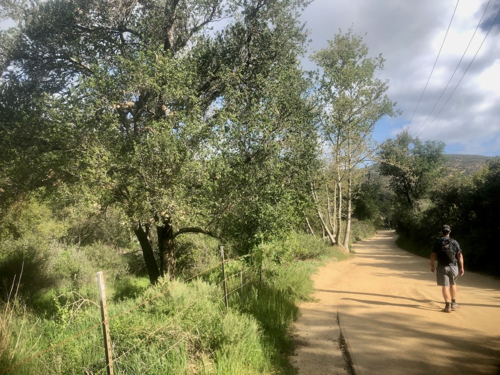
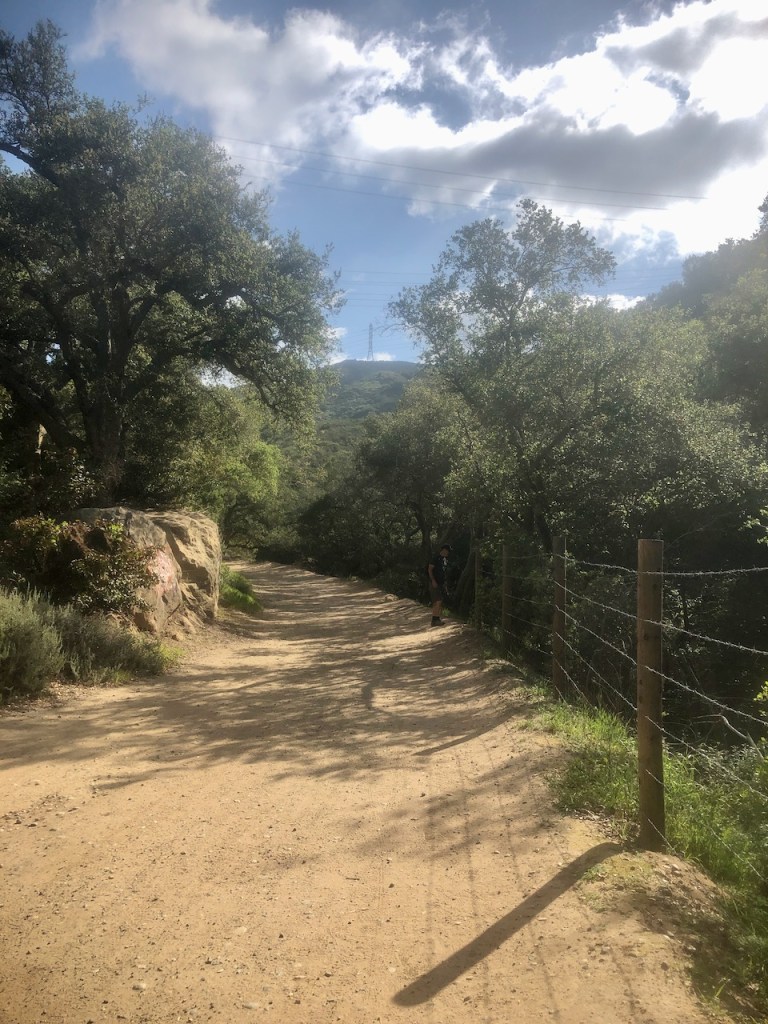
But Black Star Canyon is located in the National Forest, and is open 24 hours a day. We began hiking up the wide unpaved Black Star Canyon Road.
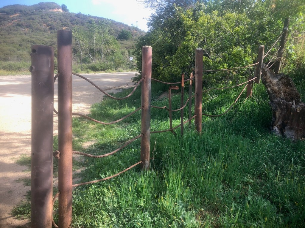
There is a lot of old cattle fencing around, since this area has been ranch land for over a hundred years.
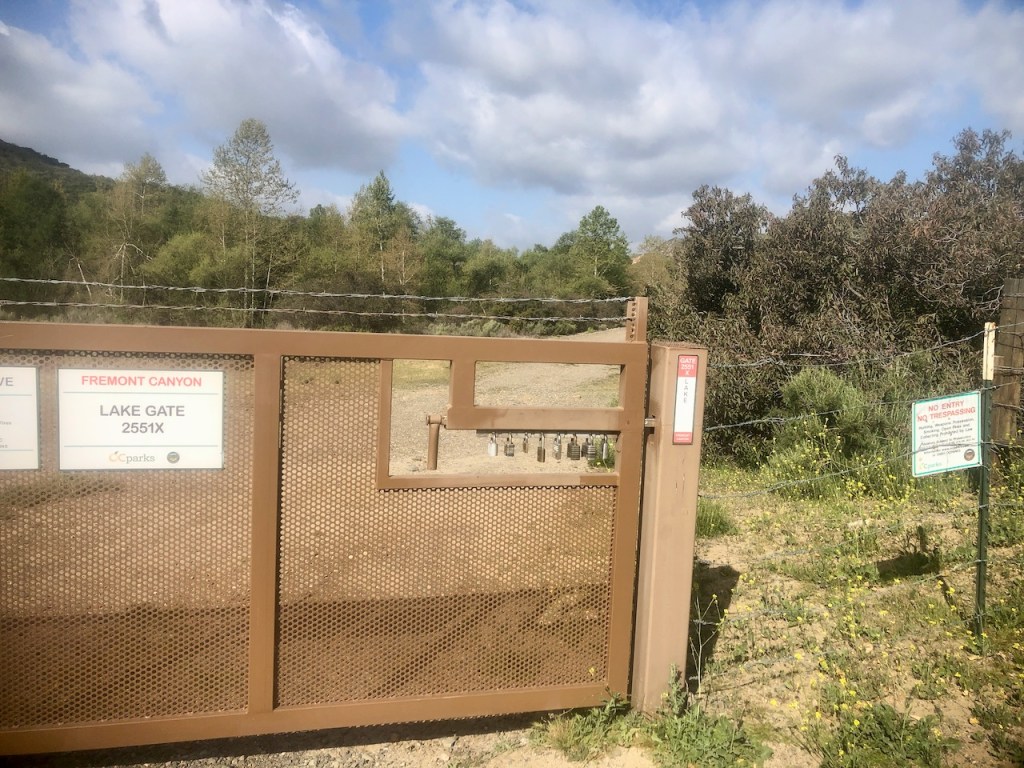
Along the way you pass gated areas, which lead to trails owned by the Irvine Company, such as this one, Fremont Canyon.
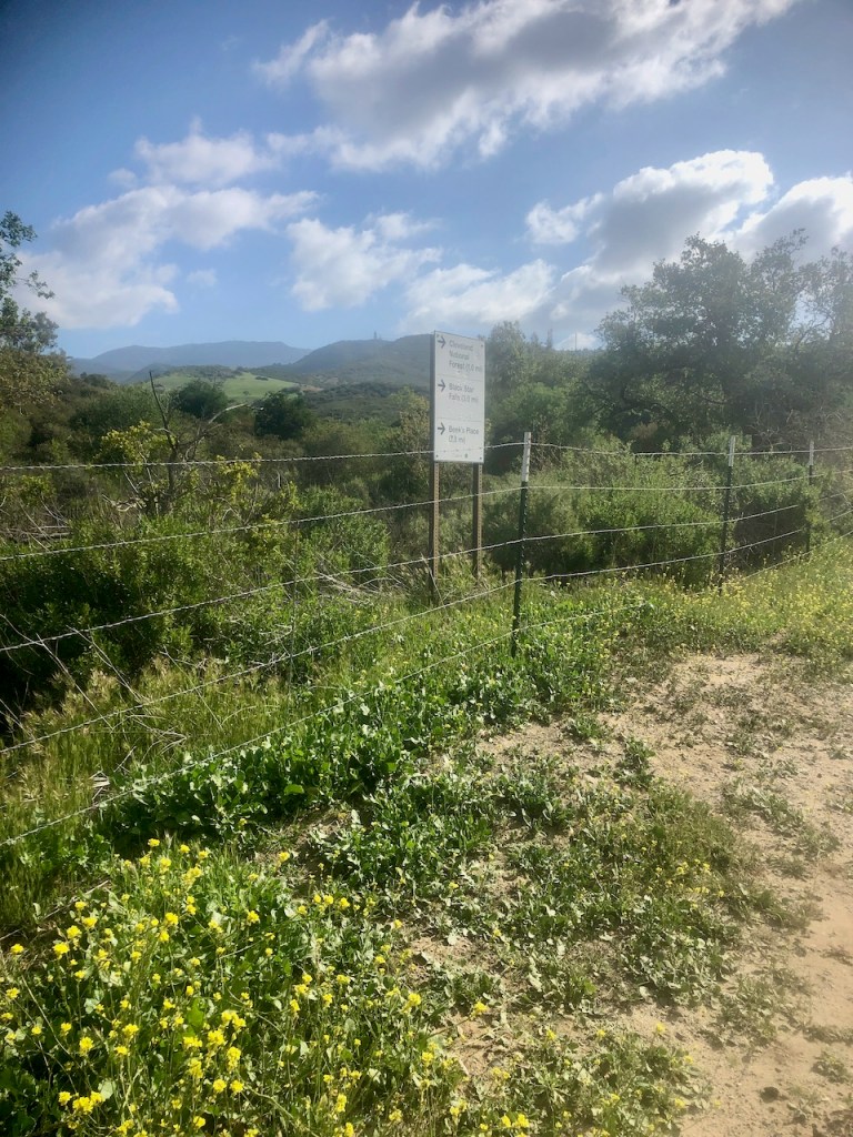
There are helpful signs along the way, letting you know where you are headed.
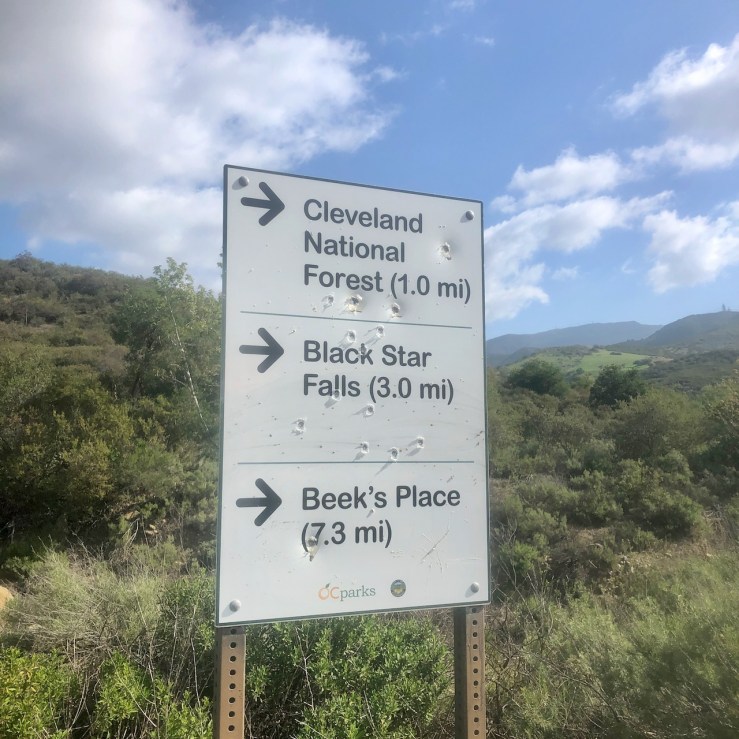
So the mileages are listed here. It’s very deceiving since getting to Black Star, the two miles up the canyon will take about fours hours to complete, there and back. The climb to Beeks is very steep and strenuous, with over 2000 feet of gain. You could expect to make it there at no faster a pace than 2 mph, if that.
The bullet holes in the sign remind me not of the wild west, but of my freedom, and that the government works for us. The 2nd amendment assures there will be no tyranny in the USA. Our leaders work for us. As long as we have the guns, that is the way it goes. But this area, is about as wild as it gets around Orange County.
Beeks Place
Beeks place was a place kids would go get drunk, free from scrutiny, and Im sure that is still the case. It is also the ruins of a cool old homestead. So I guess it is a lot of things to a lot of people. I love history, and the way he lived so far from civilization up there, and generated his own power with wind, is so interesting.
My hiking partner had been here before many times, and was my guide. Though we would depend on my phone to guide us along the way, since I was the only one with alltrails pro, and a downloaded map.
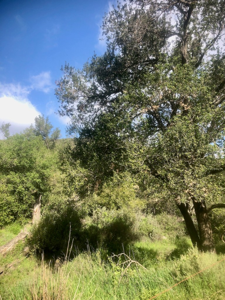
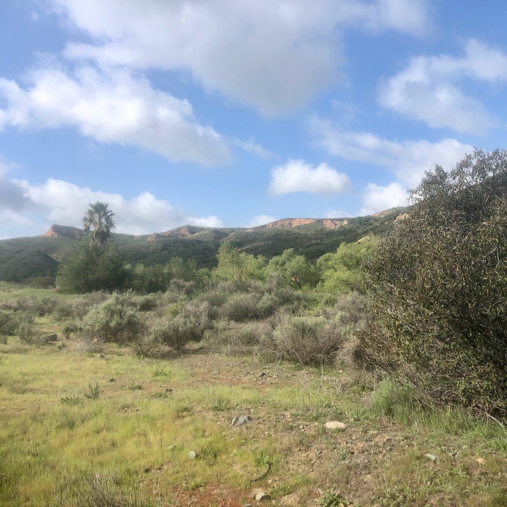
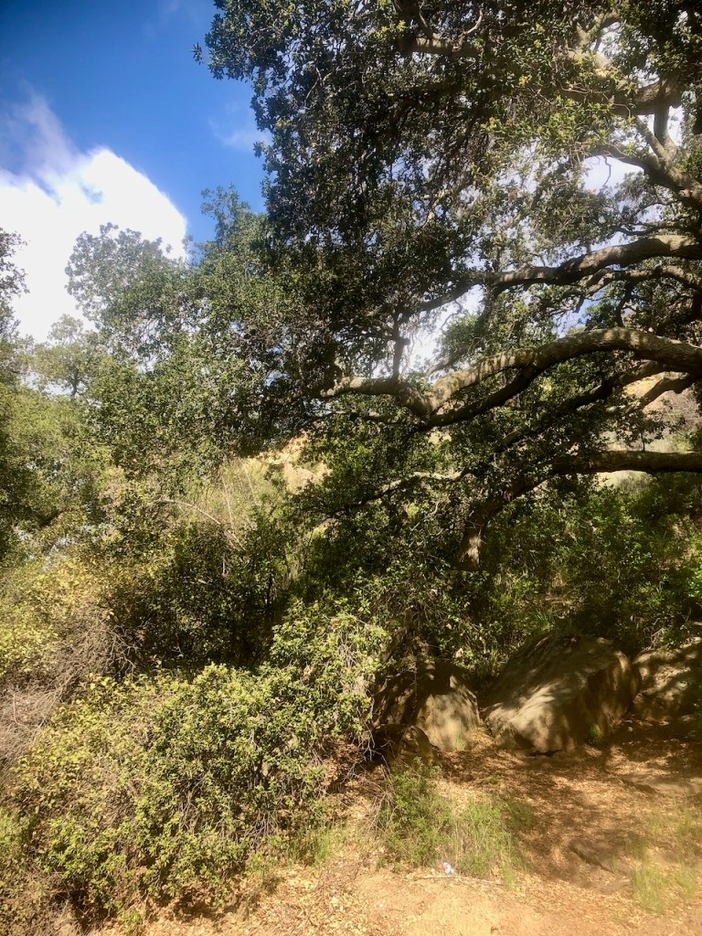
There are lots of majestic oaks in this canyon, a treat in itself.
There were a few places to stop and take a break from the hot sun too.
The unpaved road, which is the trail until the falls turnoff, passes by two different homestead, on each side of the road, which are well fenced off.
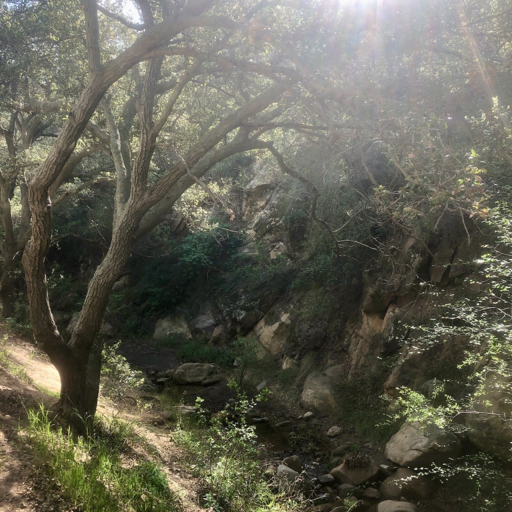
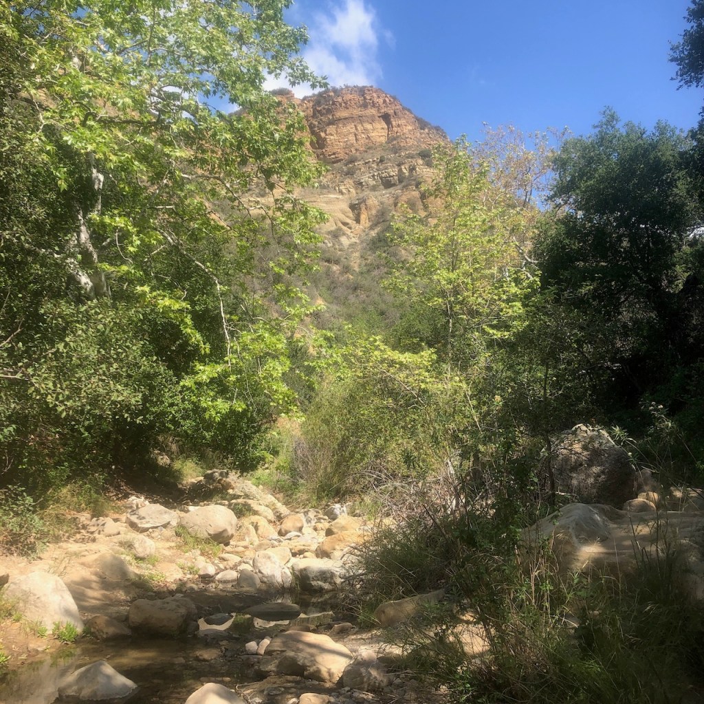
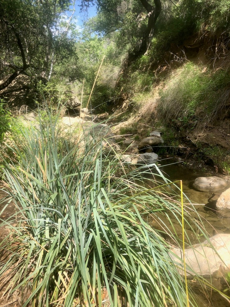
The creek was barely flowing, which is a good sign there will be a waterfall, but also, that the hike will not include wading in deep water to reach it. I was content to just see the falls, and was not looking to go for a swim today, or I would have brought water shoes.

I noticed some lavender colored Wild Lilac in bloom.
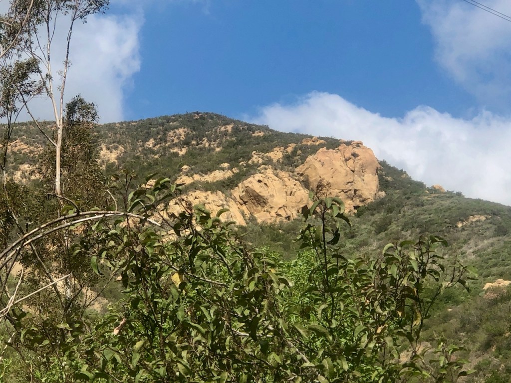
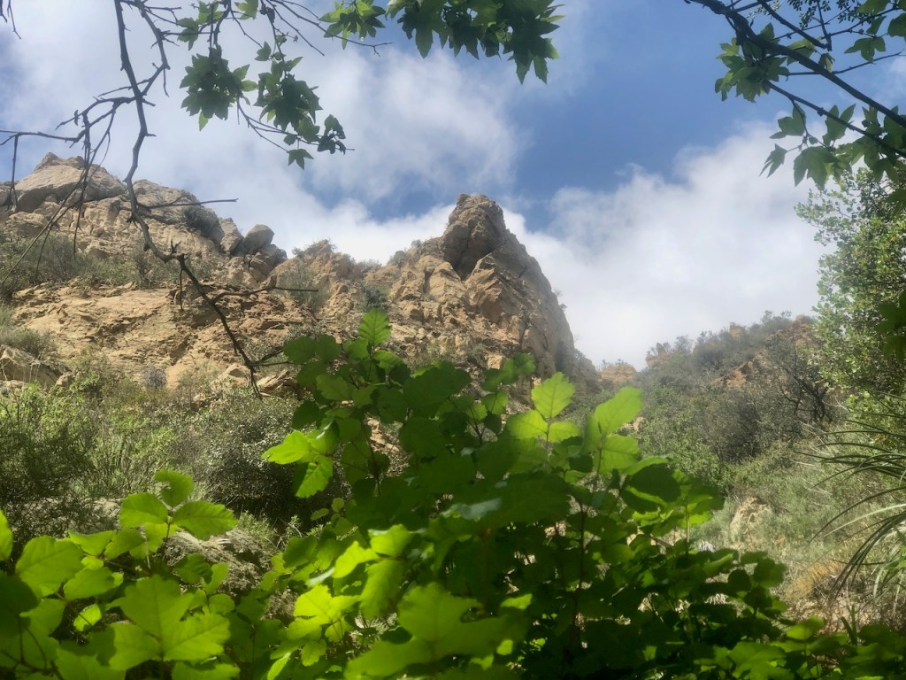
They refer to sections of Fremont Canyon as the Little Grand Canyon. You can spot some of what they are talking about, while walking up Black Star Road. The whole area is beautiful, whether you get all the way to the falls or not.
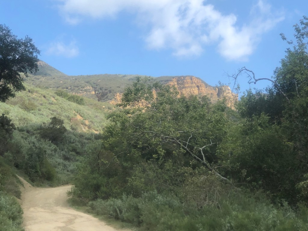
The road starts to climb ever so slightly, on the way to the falls turnoff.
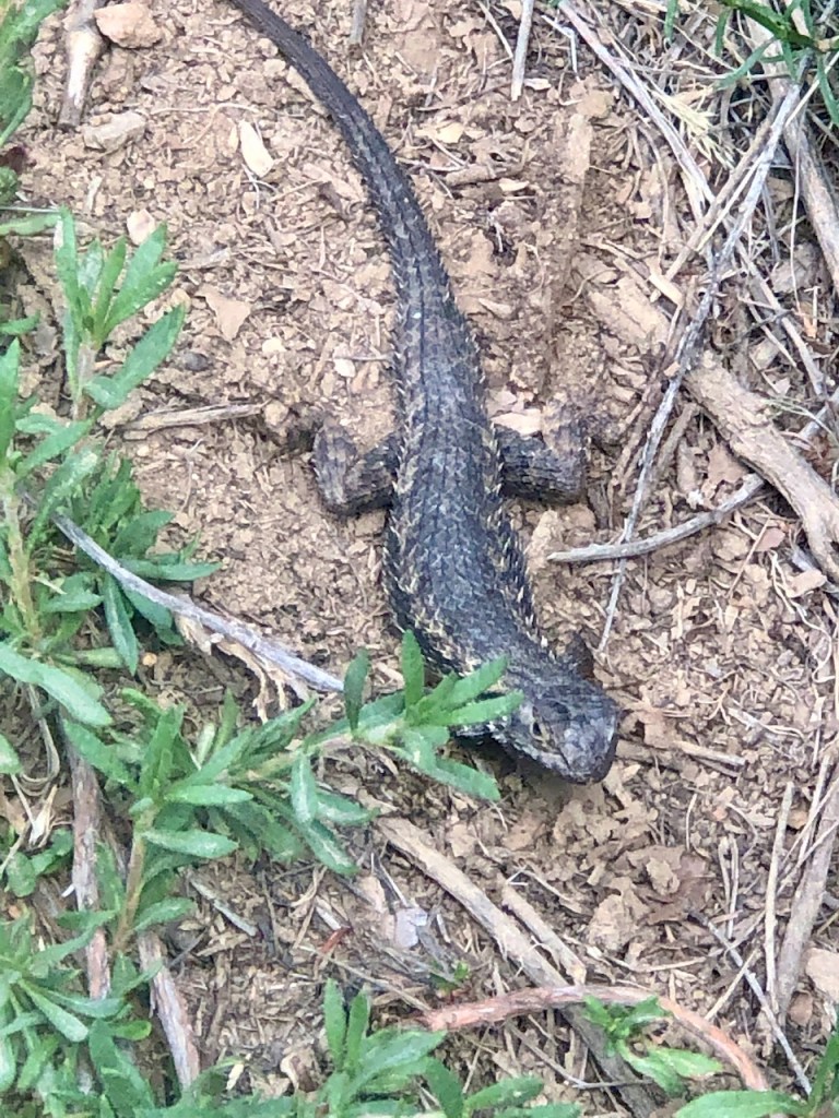
I happened to spot a giant lizard, with cool looking spines. He was very prehistoric looking, and started eyeballing me. I guess I was in his territory.
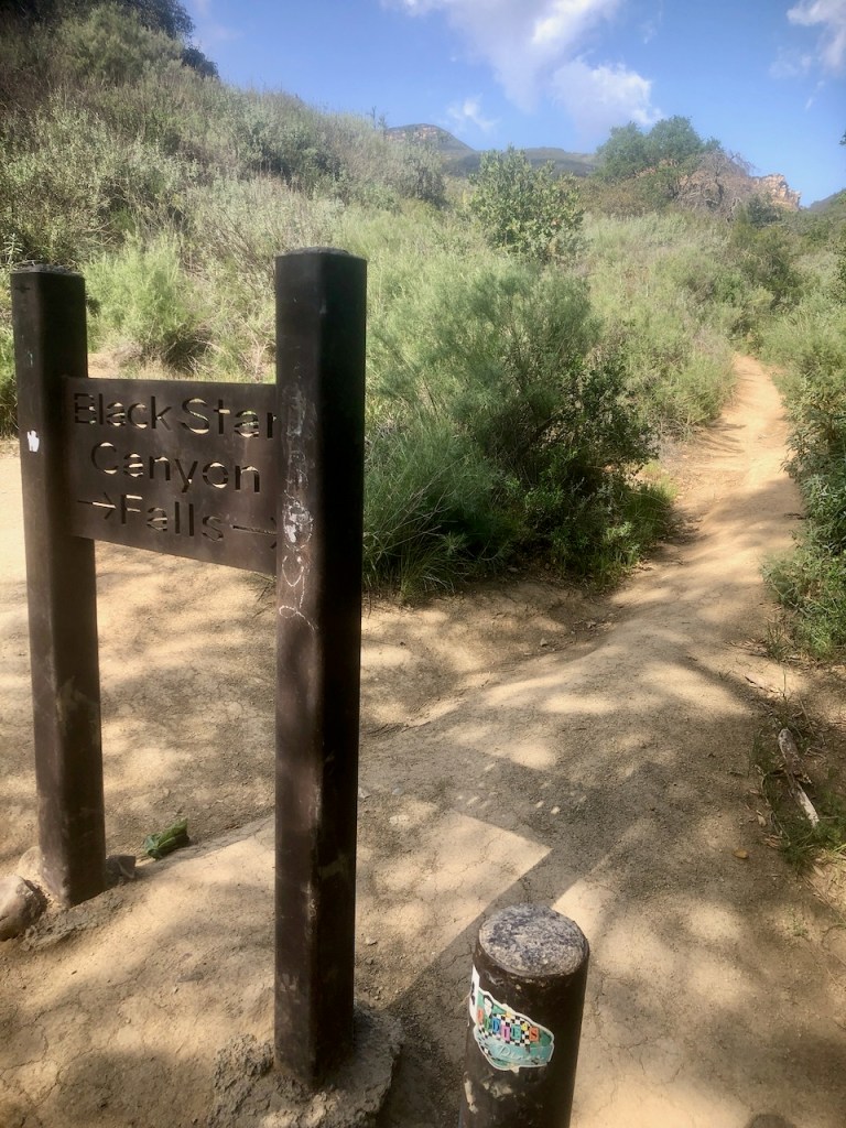
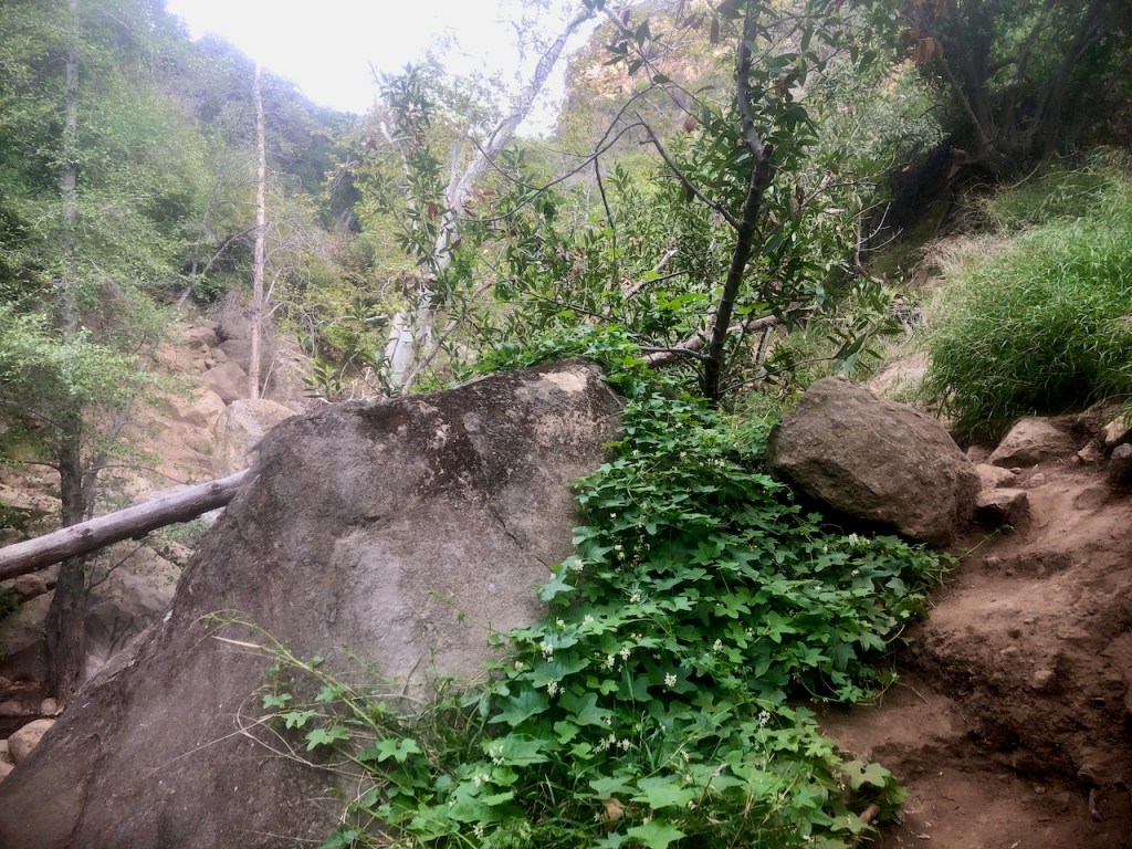
This sign is the turnoff for Black Star Falls, which is a sharp right, down a hill, through an oak forest. Be forewarned, the poison oak is abundant here.
Heading straight will take you up a steep trail, that will link back to Black Star Road, as a shortcut of sorts. Further on up the road, and 5 miles up to be exact, is Mariposa Reserve, the site of an Indian Village. It has grinding stone rocks, where acorns were made into flour, for acorn bread.
Heading left will take you toward Beeks Place, up the unpaved road.
For reaching Black Star Falls, plan on the hike being at a pace of 1 mph or less, as you scramble around brush, boulders, and logs. You could always turn back now, that is always an option. It was time to head deep into the canyon.
It was not too spooky at first, but very overgrown. I started to realized that I wished my phone had more charge, as I would need it to navigate. I would have to stop taking photos, which is a sad thing. Next time I am bringing a backup battery.
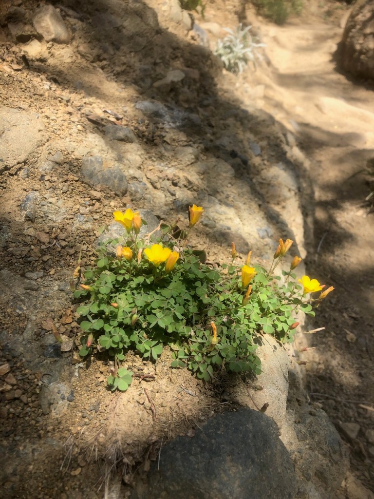
There were some patches of wildflowers here and there, but with no superbloom they were few and far between.
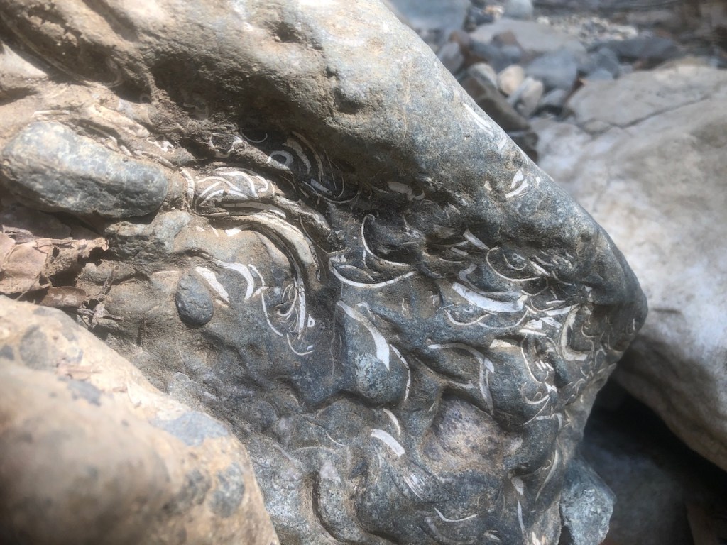
The rocks were interesting, and almost looked like they had fossilized seashells in them.
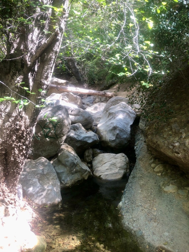
There was a very slightly trickling flow of water here. I cannot imagine how tricky this place would be to navigate, if it was flowing well.
This was my first falls, and sadly, I would not get a photo of the actual falls, since my phone died.
The terrain was muddy in areas, and the dirt was steep and slippery. I would have to hang on tree roots, and scramble over boulders one after the other. This hike was not a hike, it was a scramble, and it was hard.
Leaves of three, let it be.
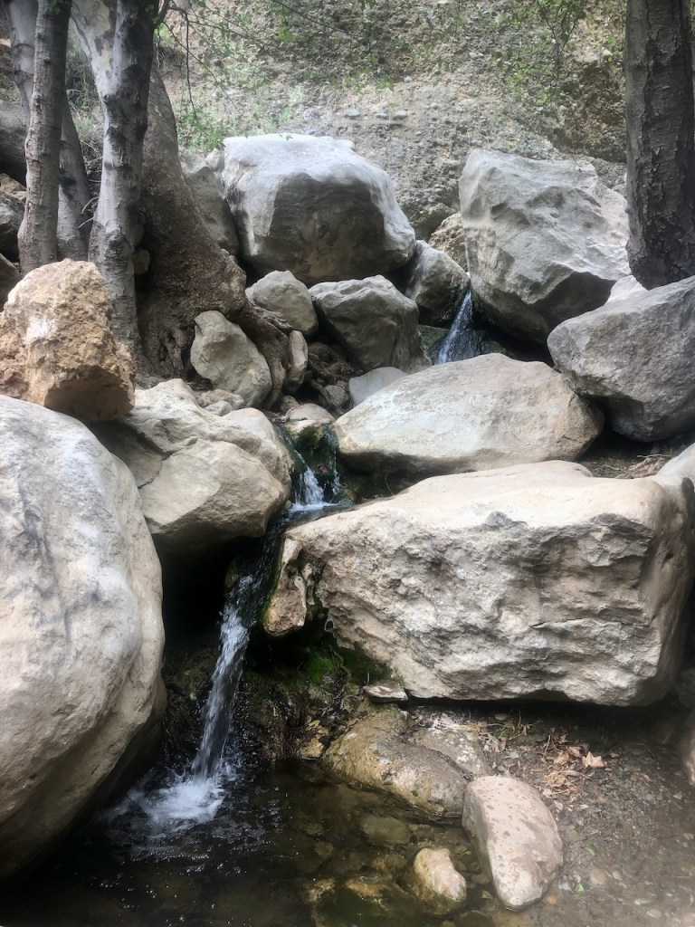
We made it to the waterfall, and pictures to come, when I get them from my hiking partner.
Conclusions
The waterfall was flowing nicely, but not a huge flow. Due to having to conserve battery for navigation (big safety issue), I was not able to capture all the giant monstrous boulders, the crumbly mud walls of the canyon (that looked like they would collapse at any moment (evidenced by giant slabs of mud wall that had broken off). There was a moment when a chilly wind blew threw, and got me feeling a little spooked.
My phone died, by the time we reached it, and thankfully, I had a pretty good idea of the way back. Yes, bring an extra phone battery for this one.
Alltrails pro was essential since I would not have found the waterfall otherwise, and could have gotten lost. All that said, this was a major adventure, and more than I bargained for with a typical “hike.” If adventure is your game, this place checks all the boxes.
No we did not climb up the algae laden wall into the grafitti covered mineshaft, where there is reportedly a deep pool of sorts. I was hoping to keep my brain intact. That said, a helmet would also be advised. This hike is actually dangerous.
I hope you enjoyed reading this, and it is helpful in knowing what to expect, should you decide to visit here.
About me
I’m Serafina! I’m a writer and California girl who loves to go exploring. Hope you will get outside today, breathe some fresh air, and be happy!
Follow my Journey…
Be sure to Like and Subscribe to My Youtube Channel where I post videos!
Disclaimer: The work on this blog is my opinion and my opinion alone and I am not responsible for the outcome if someone were to apply these thoughts to their own life. All text and photography copyright 2023 by Serafina, all rights reserved. Information and opinions provided are kept current to the best of the author’s ability. All readers’ usage of the ideas and opinions presented in the blog, are at their own risk. Be aware of the possible dangers of hiking, surfing, walking, cooking, and other activities, which may take place indoors or outdoors. By reading this, you agree not to hold the author or publisher of the content on this web site responsible for any injuries or inconveniences that may result from reading the blog, or partaking in any activity mentioned in the blog. Read the blog, and use its ideas, if you so desire, at your own risk.
