

I decided on this hike at the last minute, the night before. I would climb Mount Baldy first thing in the morning, leaving my house by 4am. I was waiting for a free moment, when the conditions were right.
Check the Weather First
The weather and conditions just seemed right for a big climb. The forecast was set to be mild, with a high temperature of 71 degrees in Baldy Village. The temperatures can vary sharply from the village down below, to the peak, by about forty degrees, depending on the windchill. It is always much chillier at the peak.
You can check the mountain weather here at socalsnow.org
Becoming a Mountain Climber
Inexperience lead me to base my attire on the summer temperatures, down by the beach. Sometimes you just have to learn things the hard way. Generally, if it’s a high of 71 degrees, it will likely not be more than 50 or maybe 60 degrees atop Mt Baldy, during the warmest part of the day. It could be chillier if there is wind, and warmer otherwise. So I did expect a chilly start, in the morning. I did not anticipate temps in the 40’s.
An Alpine Start
The day began when I awakened at 3:20am. I proceeded to follow through with my plan. I had 5 hours of sleep, and what I considered adequate for a big climb, though not nearly ideal. I decided I was feeling up for it, and did not hit snooze. I was feeling amped, and filled with anticipation, since I had planned this hike a long time ago.
Coffee Time
I pushed start on the coffee. I grabbed a few things I prepared the night before from the fridge: Fresh fruit, and a liter of ice cold water. I’m not a morning person, so I do everything the night before. My most difficult task morning task is getting dressed, and grabbing stuff. It usually takes me about 2 hours to fully wake up. In order to do that, I need coffee.
Being Prepared
I decided on bringing 3 liters of water on trail, and camel up with a half liter before heading out. I was in my car by 4am, heading north on the 5 fwy toward the Angeles National Forest. I was wearing two quick dry ventilated hiking shirts, a short sleeve, and a long sleeve one, along with my favorite shorts. I thought this was going to be warm enough, since I warm up fast when I’m moving.
Manker Flats
I arrived at sunrise, around 5:30 am at the Manker Flats trailhead. For a moment I pictured it as just another cool summer morning in the wilderness. There were very few cars parked at the trailhead, and I began to realize the area was actually kind of deserted. People hike up Mount Baldy in every season, including the winter, but on this particular day, it was a ghost town.
Parking Area
After exiting my car at the parking area, I realized it was much cooler than expected, around 45 degrees at best. I started layering up, knowing as I hiked, the temperatures would change, and I would need to cool off, as my muscles warmed up.
Wait a minute.I forgot my down jacket? My heart sank. I may have sabotaged my hike completely. No jacket, and no extra warm layers in sight. I was betting on it being in the 50’s for some reason. It was in the 80’s and 90’s in San Bernardino and Orange County after all.
My Puffy Jacket
My Patagonia puffy jacket was not in my car, as it usually is. I had taken it out, along with most of my extra gear after my Mount Whitney hiking attempt a few weeks ago, which ended at Trail Camp. It was a 16 mile day hike. It truly an unforgettable experience. It was also the reason my jacket was not in the car. It was in my backpack, and I brought it in the house.
This was where the comedy began for me. I begin to sift around in my trunk for anything to keep me warm. I find runners’ compression leggings. Why not put them on my arms? I found some spare sleep leggings, a pajama tank top, and a surfing rash guard, to use as another layer. I somehow happened to have my dance pants (aka wind pants). Those always keep me warm. I also had nifty green rayon beach sarong with elephants on it. What good that would do, I do not know.
All that mattered now was deciding to hike or drive back to a lower altitude. So I threw the dance pants and the sarong in my bag, as emergency layers. I thought I could wrap myself in the sarong, or even put the wind pants on my arms. In either case the sarong is lime green to make me visible, and would be great to take a nap on. At least my buff is in the car, to keep my neck, and head warm, under my running hat.
Oh, the Possibilities
Could I make it work? It took me 30 minutes of figuring it all out, before I decided I was ready to leave. I could always turn back if I got chilly. It’s always colder the higher you climb, so I could descend if need be. Hopefully today is more than a chilly trail run in the National Forest.
Off I Go
It was now around 6am, and the sun was just starting to come up. I tend to get warm, and shed clothing, when I’m hiking. I felt I would be just fine as long as I kept moving. I decided I was going to do this, and hike up Mt Baldy. I had faith I would make it there safely, in spite of the self-constructed obstacles laid before me.
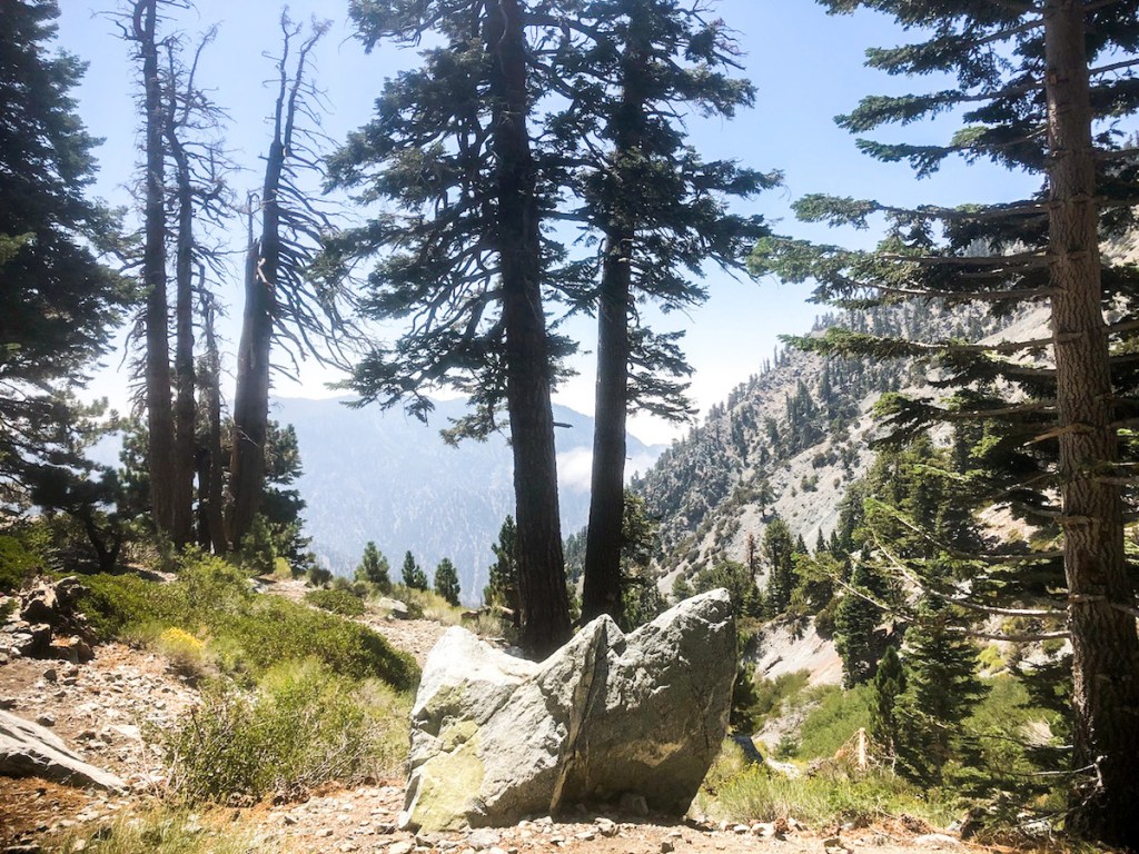
The Trailhead
I entered the trailhead on Baldy Road, at Manker Flats. I walked to the right of the locked gate, over and past some jagged pieces of metal sticking out of the ground. I’m sure someone has injured themself on these. From there the trail climbs steadily uphill on a paved fire road.
High Altitude
When you’re hiking in the mountains at high altitude, above 7000 feet, you can usually expect extreme fluctuations in temperature, wind, and weather. Storms can form unexpectedly. It can snow and hail in the summertime. I was hoping today was not that day, since the forecast was looking crystal clear, with a zero percent chance of rain. That’s ideal weather for Mt Baldy.
The Falls
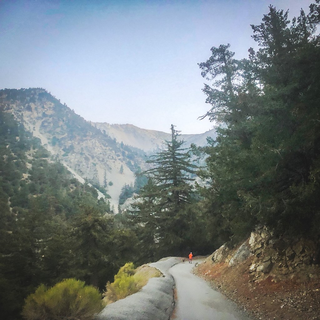
About a half mile up the paved road I would reach San Antonio Fall. It is usually flowing year-round. In winter it could be roaring, and dynamic, when melting snow feeds it. It’s only another .25 mile or so to walk down to the falls. I highly recommend it as an interesting detour if you enjoy waterfalls as much as I do.

The Fire Road
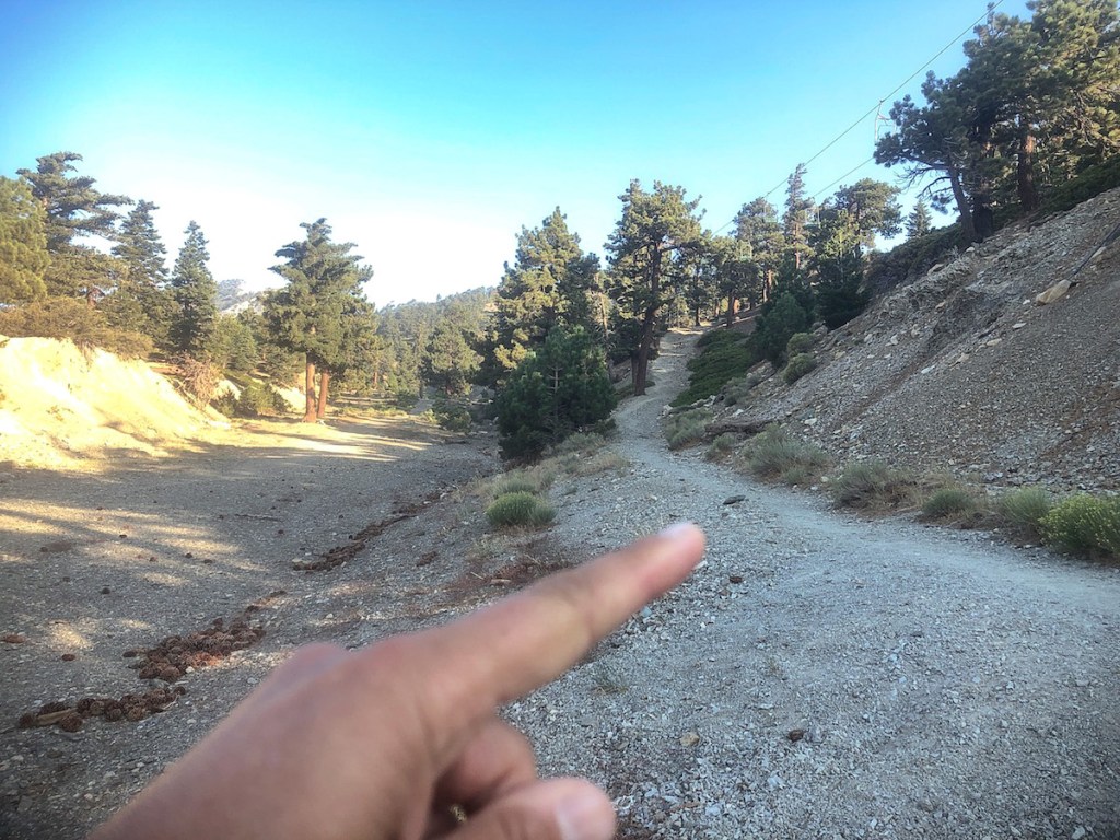
After the falls I made a right and proceeded up the unpaved Baldy Road. The road is shared, and there can be occasional fast moving trucks here, on their way to the ski area.
Aside from a passing vehicle, there was not another soul hiking past the falls. It was a perfect time for some peace and quiet.

The road steadily climbed in a series of long switchbacks, making its way along the mountain side. I would pass Ski Hut Trail, off to the right.
There are no other trail markers, the entire way up to the Notch, where the ski lifts ferries people back and forth. The Sugar Pine Lift runs on weekends from 8-4pm, and in winter runs daily, when there is snow. It takes just 20 minutes to reach the Notch, which sits at 7800 feet.
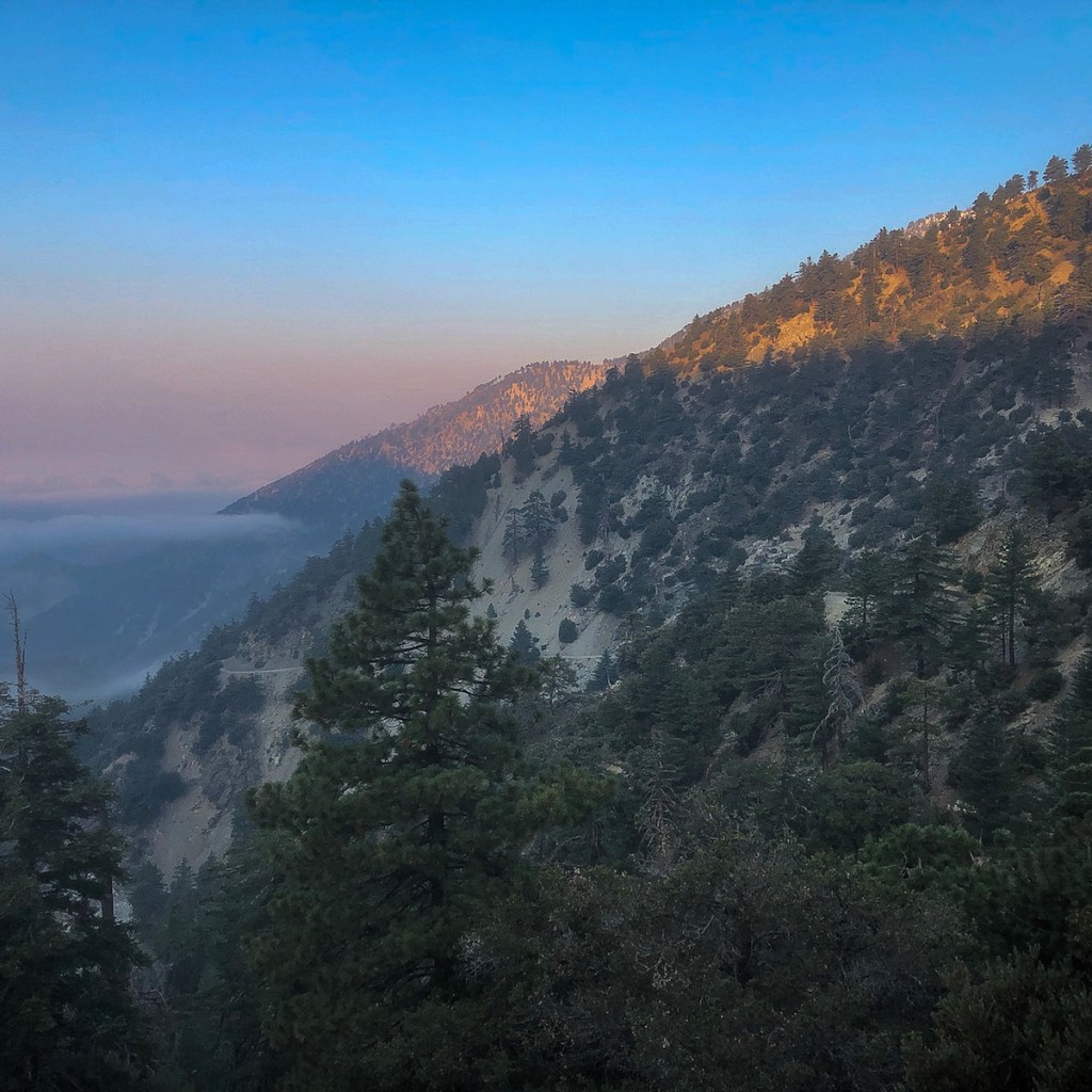
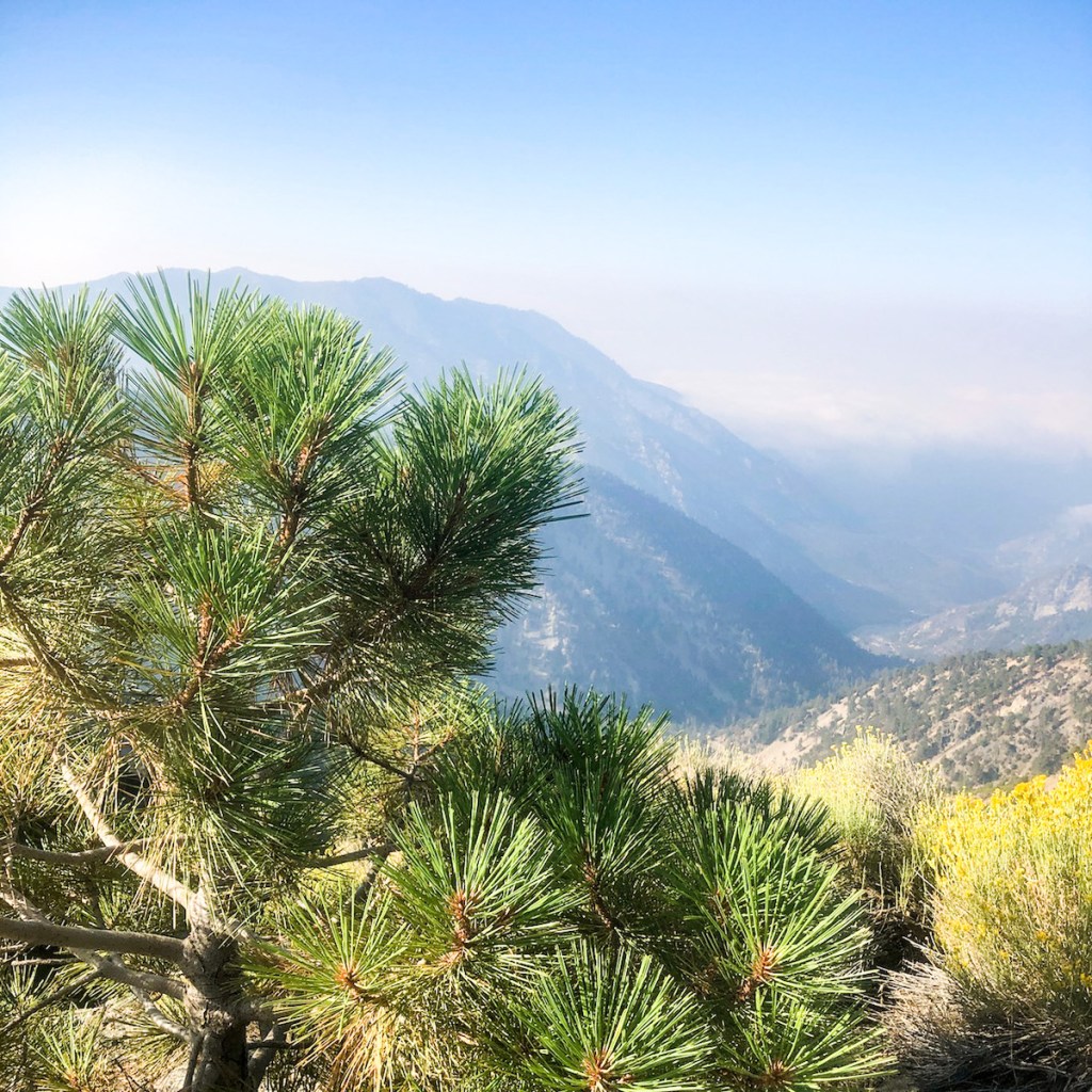
I hiked through the canyon, steadily climbing through the forest. I spotted a striking large bluebird.
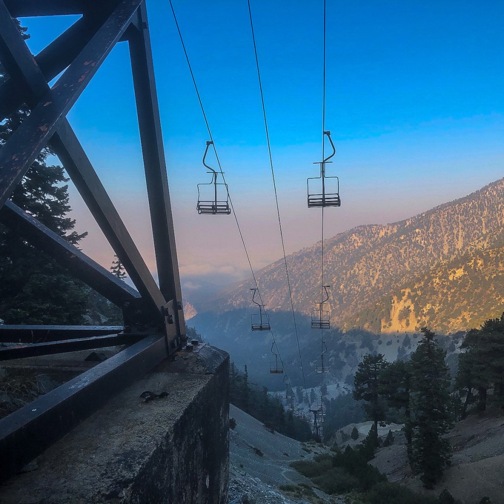
Seeing the vintage ski lifts, coming up the bowl, gave some perspective.
I glimpsed the glow of morning sun on the ridge line dotted with pines.
I took off some layers, as it was warming up. I was close to the notch, and now knew I would be just fine climbing Baldy in my current attire.
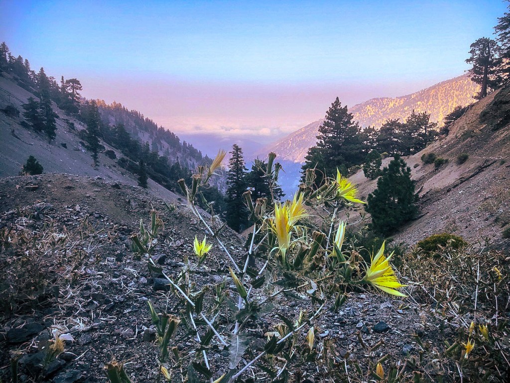
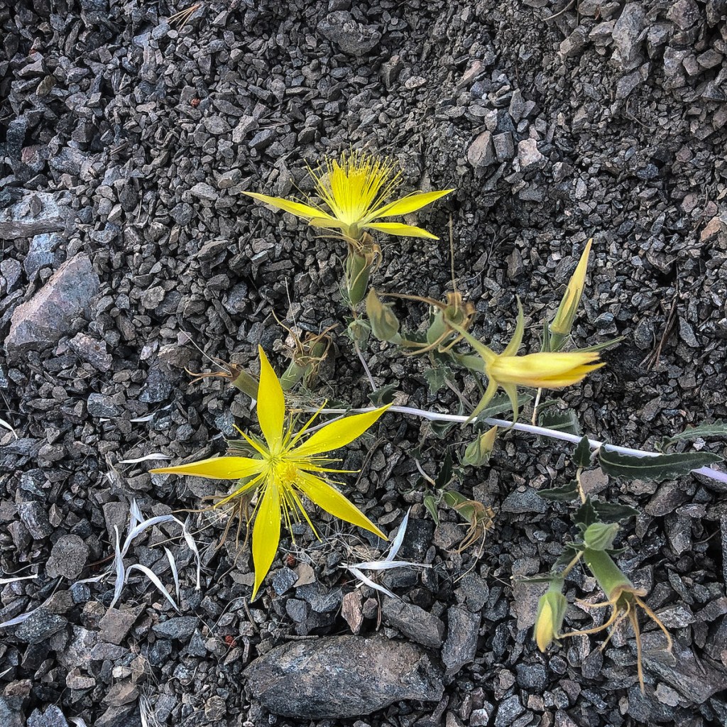
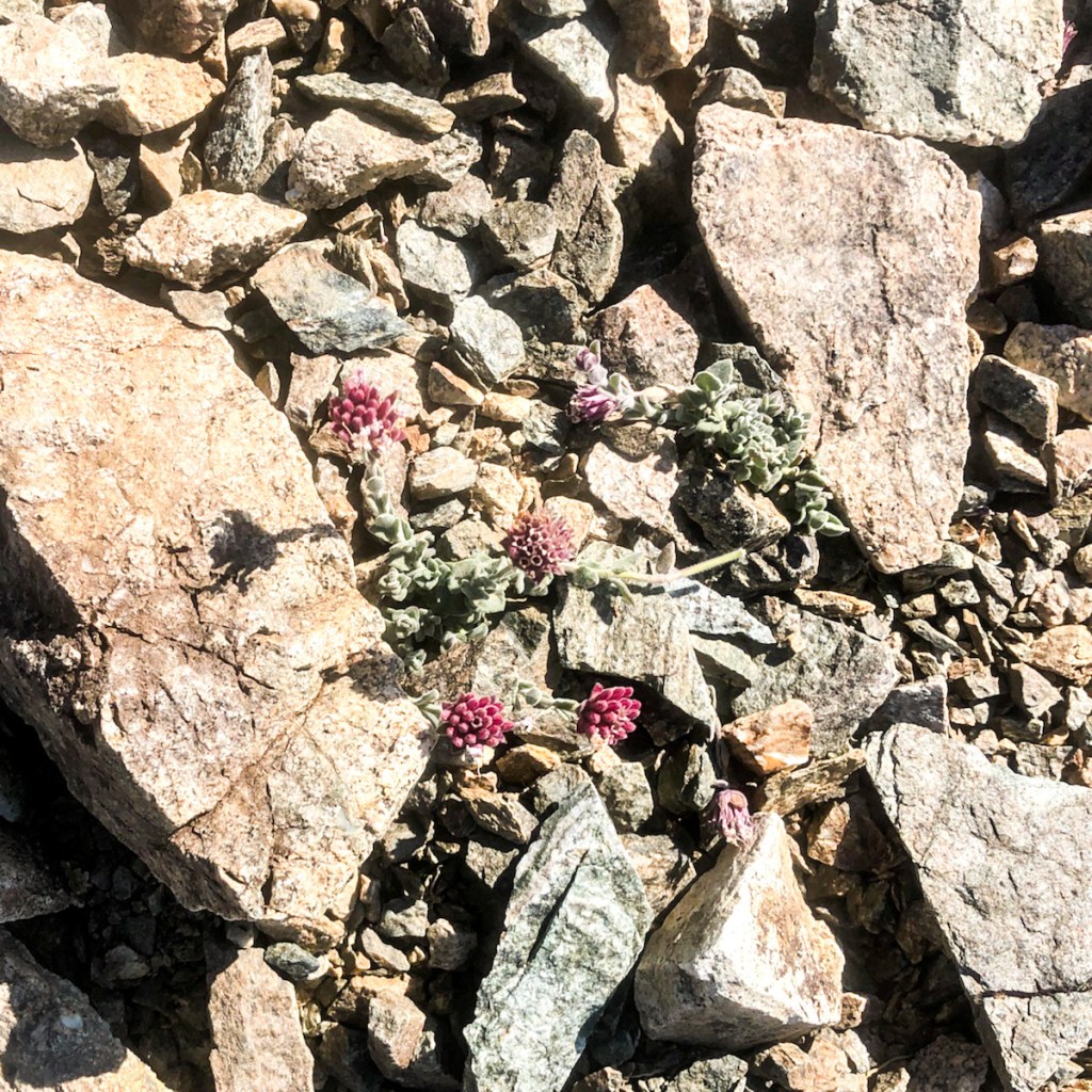
I spotted a beautiful yellow wildflower, growing in the rocky soil, I had never seen before. It’s called a Yellow Blazing Star, and it only grows at high altitude.
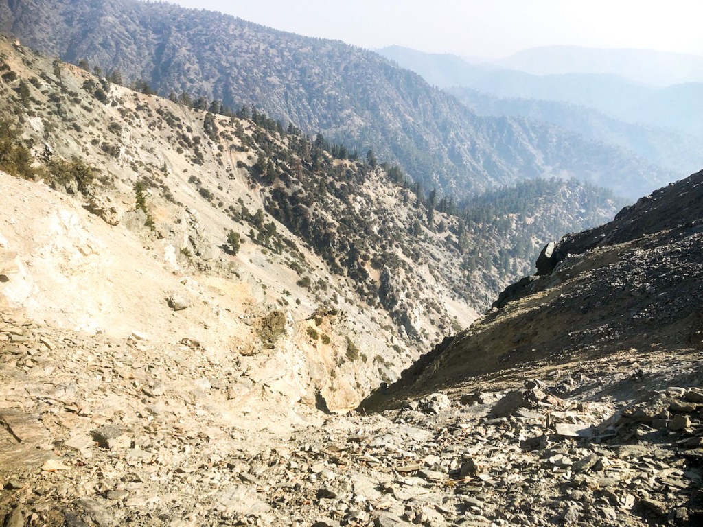
After a few more switchbacks the wide fire road narrows. I made a left. The trail became more rocky, and I was careful not to stumble. Doing so, would have sent me over the side of a 40+ grad slope, down over a 100 feet.

So I stayed away from the cliff, closer to the inner hillside, since the dropoff could kill me. Hiking up mountains is serious. One trip, slip, or fall, can end things. Having flown through the air before, after simply tripping on a rock, I know to be careful in this situation.
Making it all the way to the Notch was a great accomplishment. The lifts and restaurant were closed and it was empty up there. On to Mount Baldy.
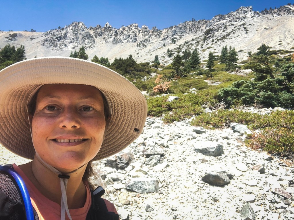
The views from the Notch were stunning.
I made a left here. There were so many trails here, it was a little confusing. But I had alltrails pro, and my map was downloaded, so I knew where to go.
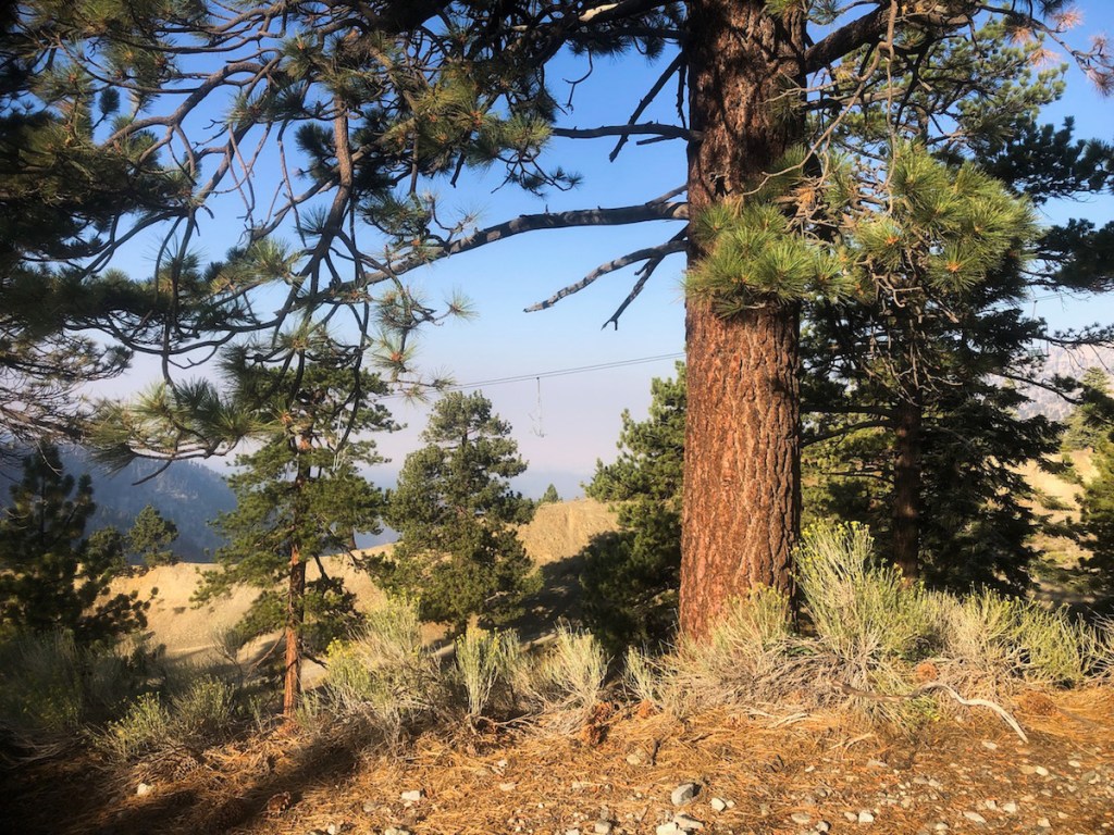
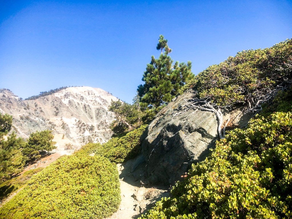
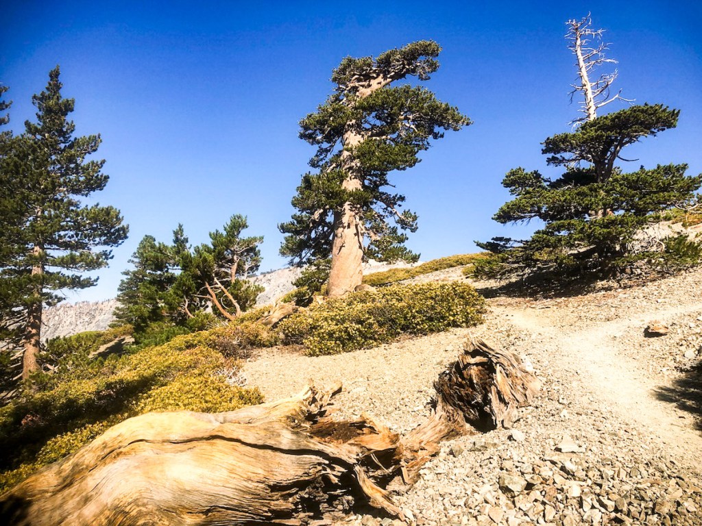
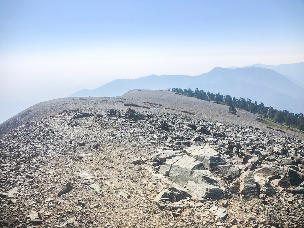
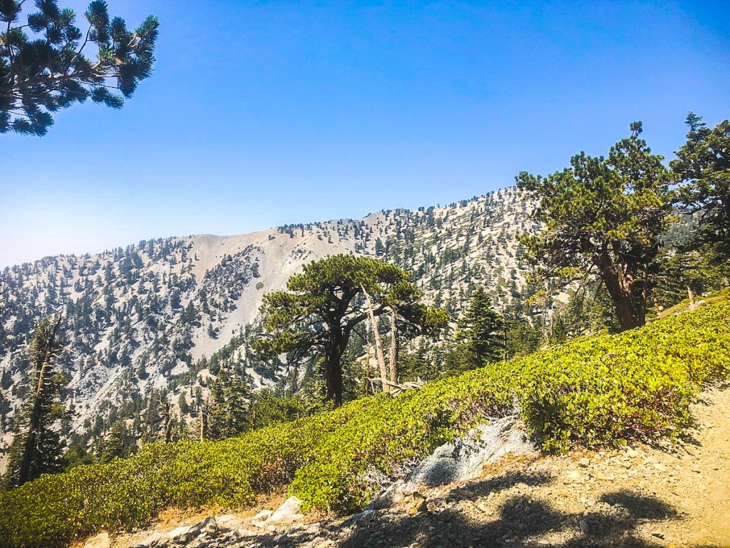
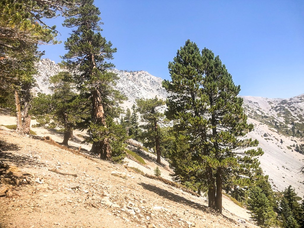
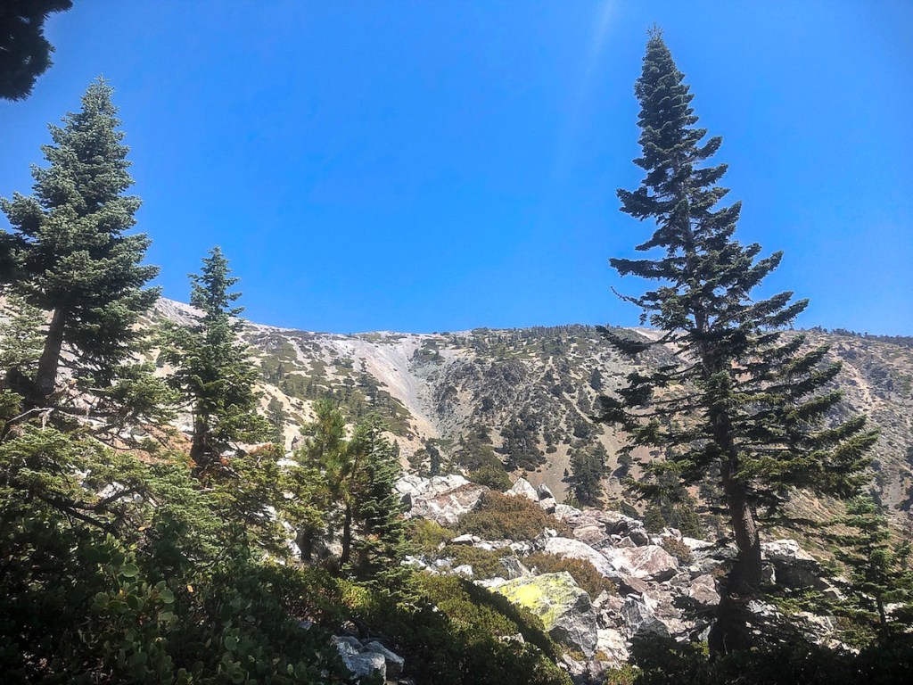
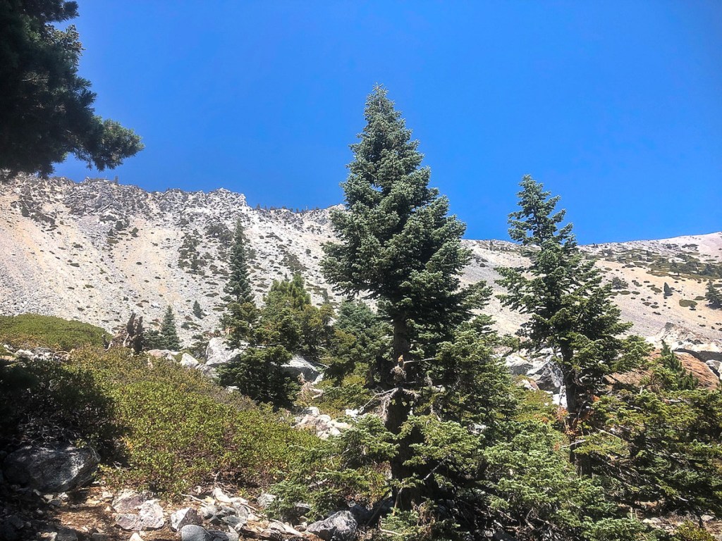
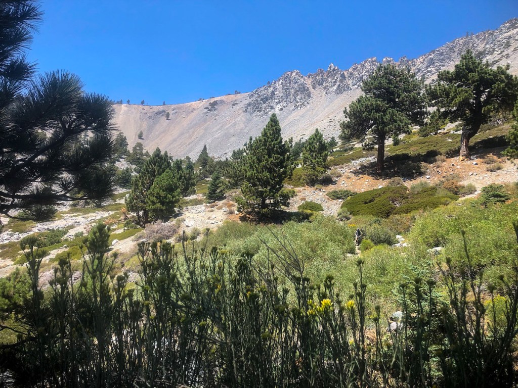
The climb had begun, and it was steep. The trees up there were enchanting. I love walking in an alpine forest.
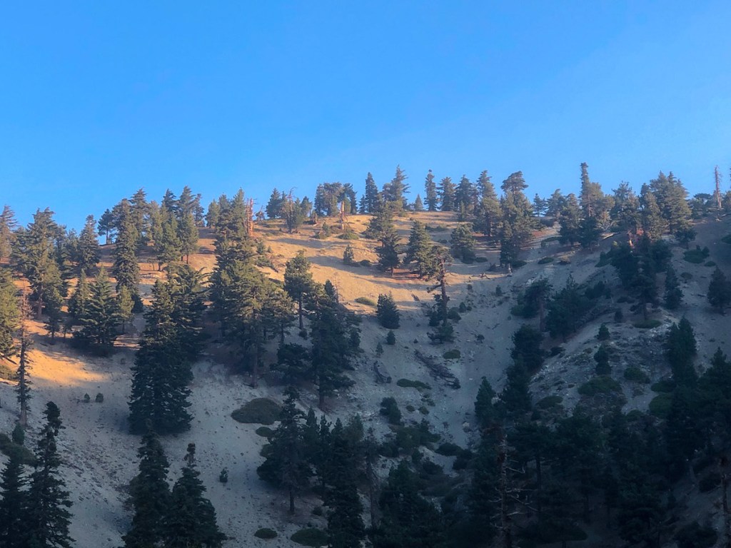
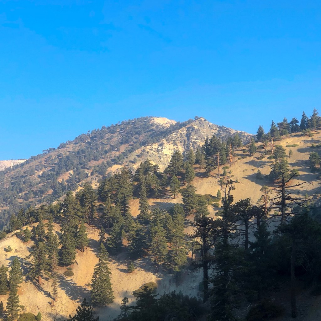
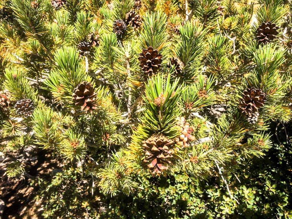
The trail leveled out for a bit after another climb. There were lots of Ponderosa pines and Coulter pines. California has hundreds of different varieties of pines, but some only grow at altitude.
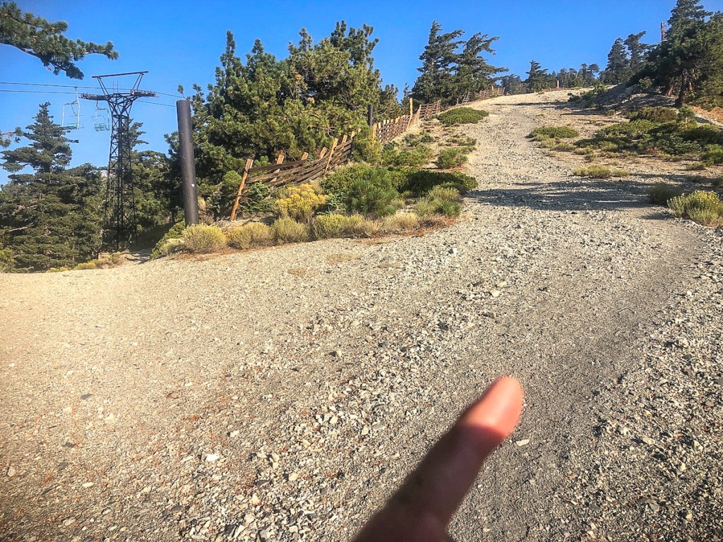
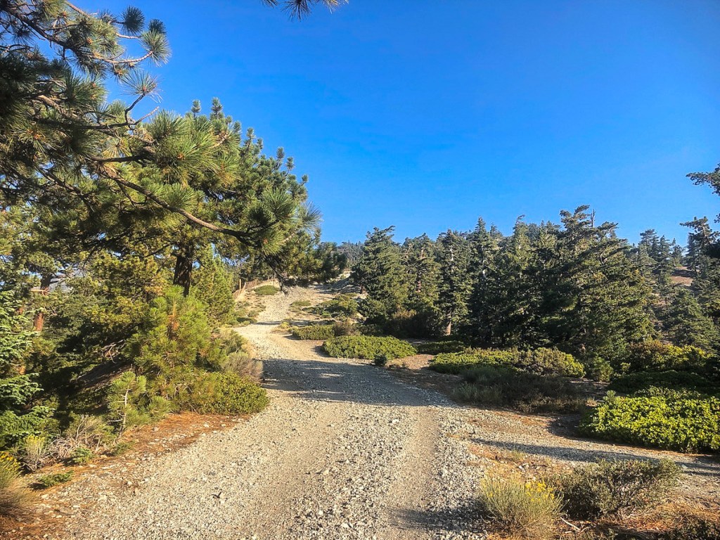
The trail became very wide, since it doubles as a ski area.
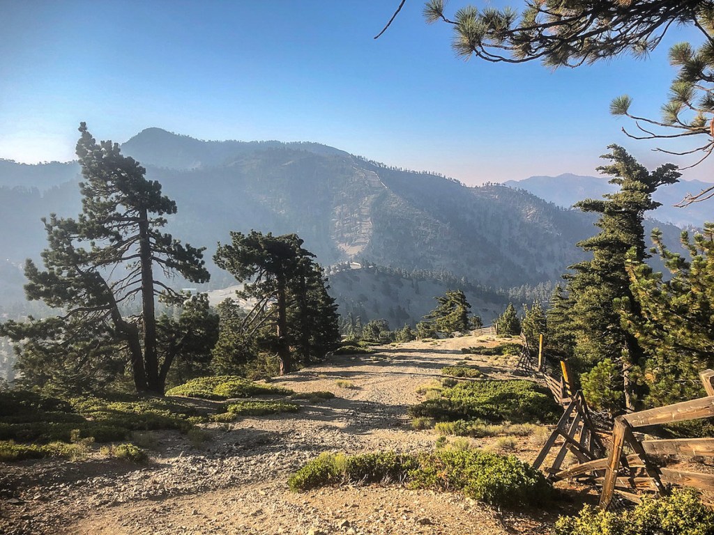
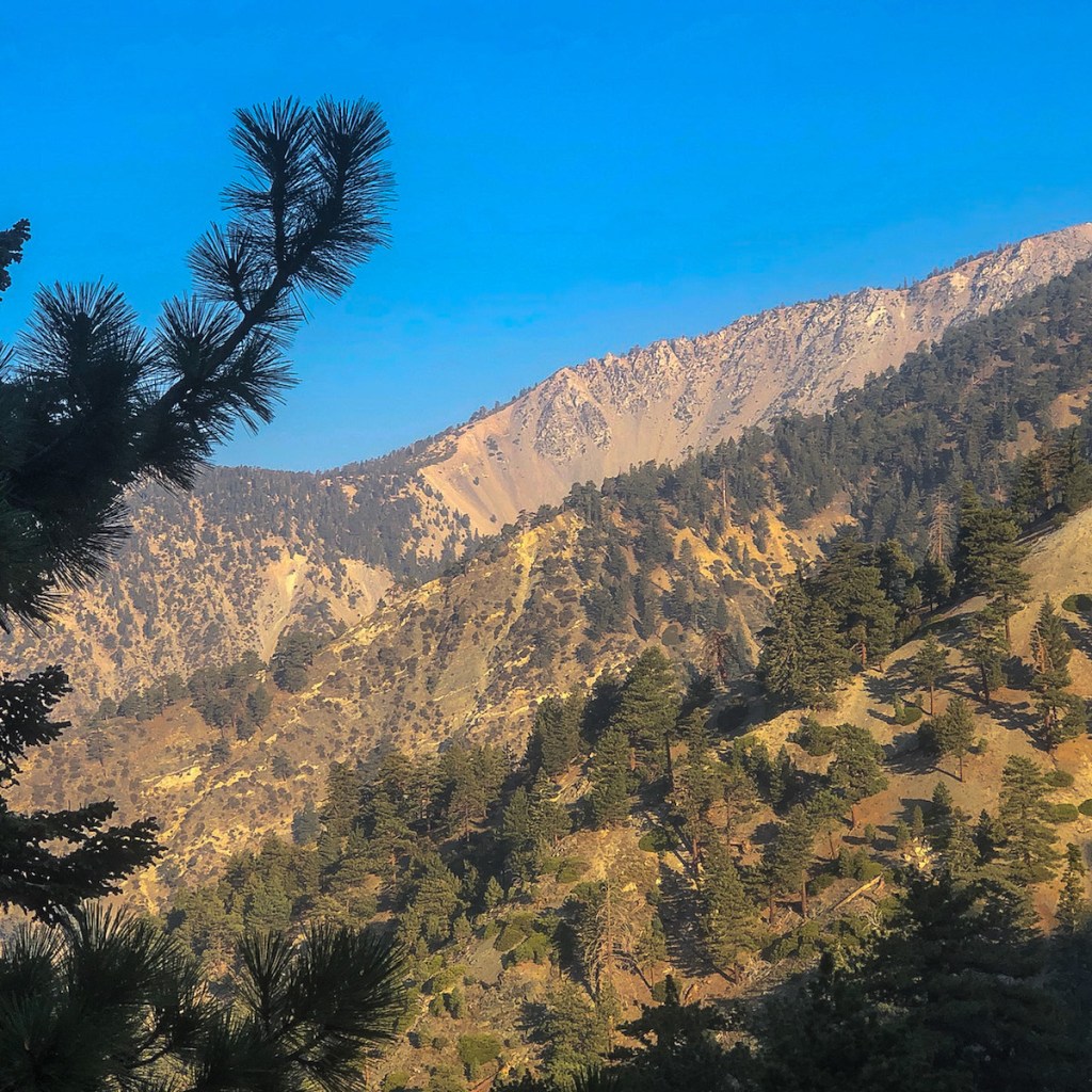
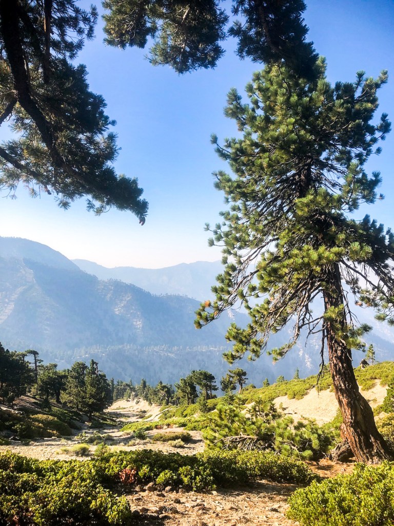
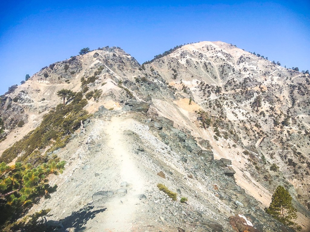
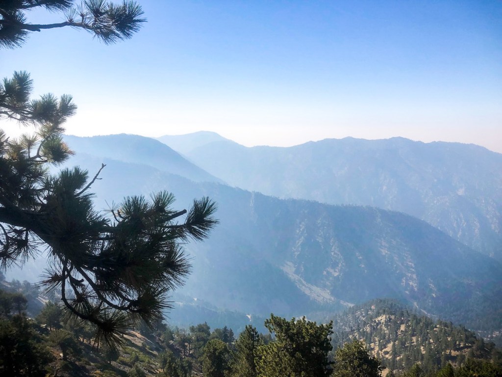
There were wooden fences marking the ski boundaries. I could glimpse Thunder Mountain, Telegraph Peak, and Timber Mountain (The Three T’s), behind me.
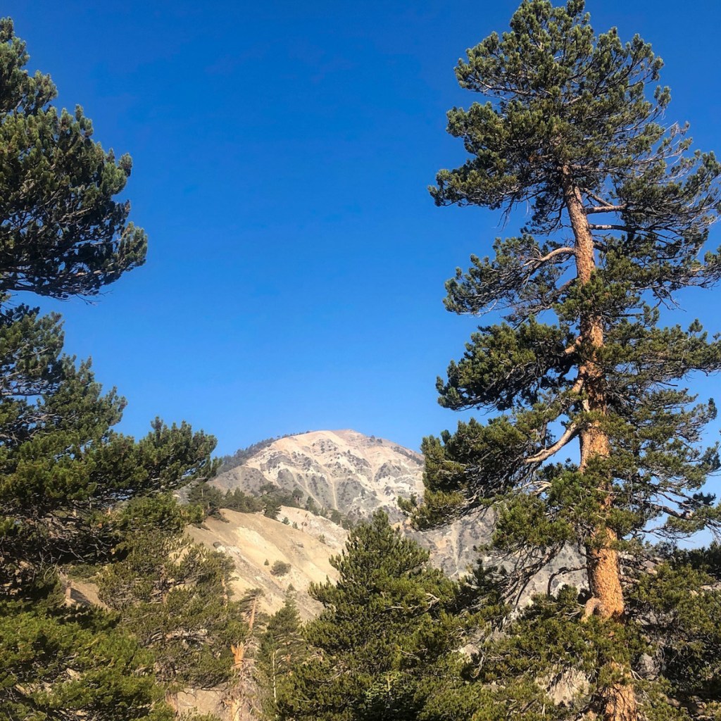
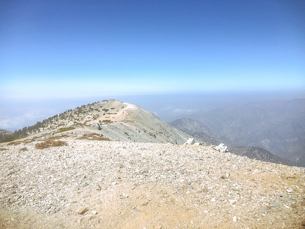
The sun was now illuminating my destination, Mt Baldy a silvery grey, along with Mount Harwood to the right of Baldy. Would I make it two peaks in a day?
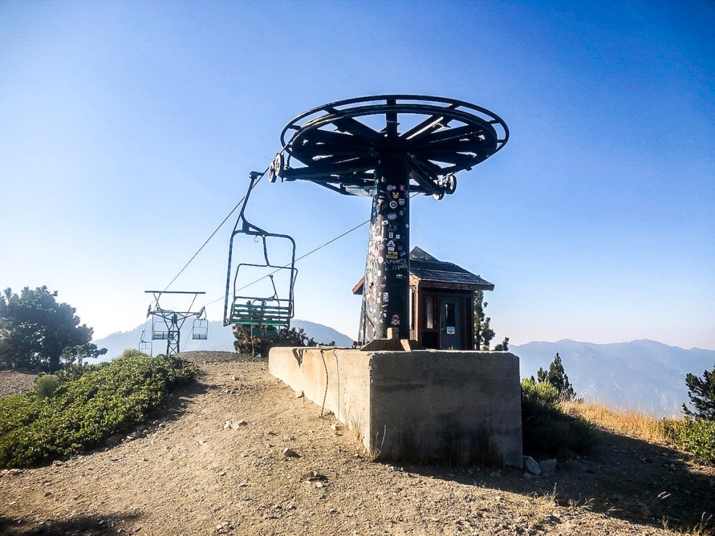
I pass a vintage looking ski lift, decorated with stickers of passing hikers, next to a small ski hut.

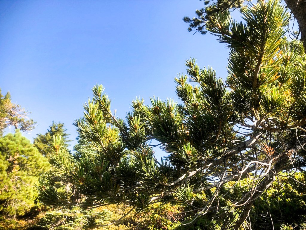
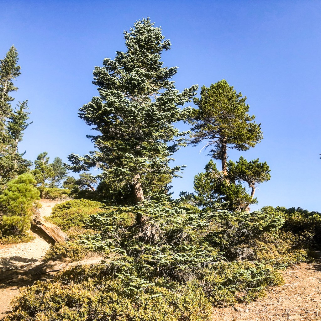
I enjoy learning about all the varieties of pines such as Limber Pines. It’s interesting how windswept all the trees look up here.
Looking back into the canyon, I could envision mountaineers, climbing here in winter. But would I ever be one of them?
Slow and steady wins the race. I was edging ever closer to my destination.
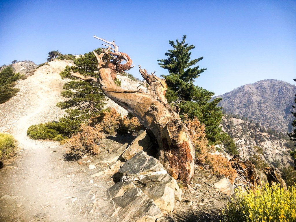
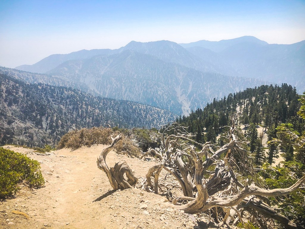
It became steep, narrow, and more rocky so I took my time. This windblown pine is wedged in a rock quite securely. It’s a wonder how it manages to hang on.
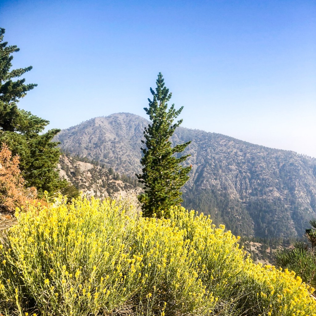
Cheerful bright yellow and orange wildflowers encouraged me onward. At 9000 feet, the flowers think it’s springtime. Back in Orange County, the flowers withered and dried up a long time ago.
This landscape reminds me I am not in Disneyland. Only the strong and resourceful survive up here.
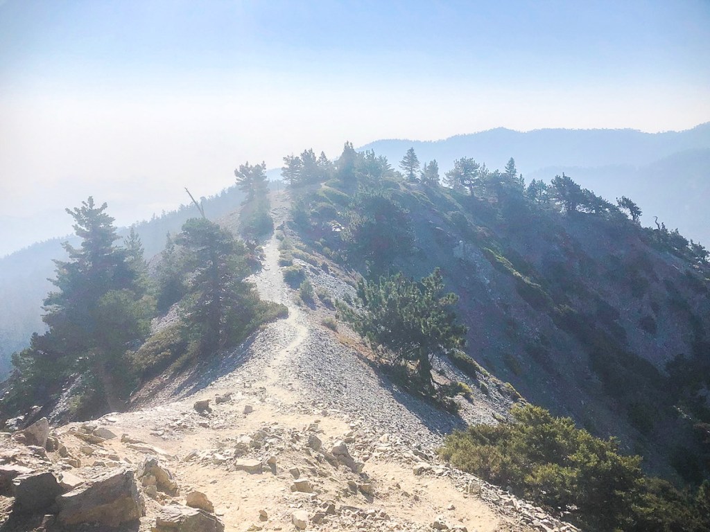
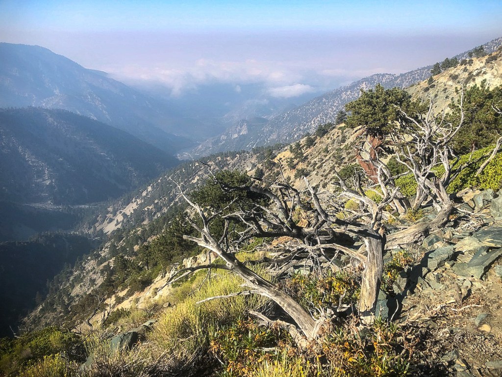
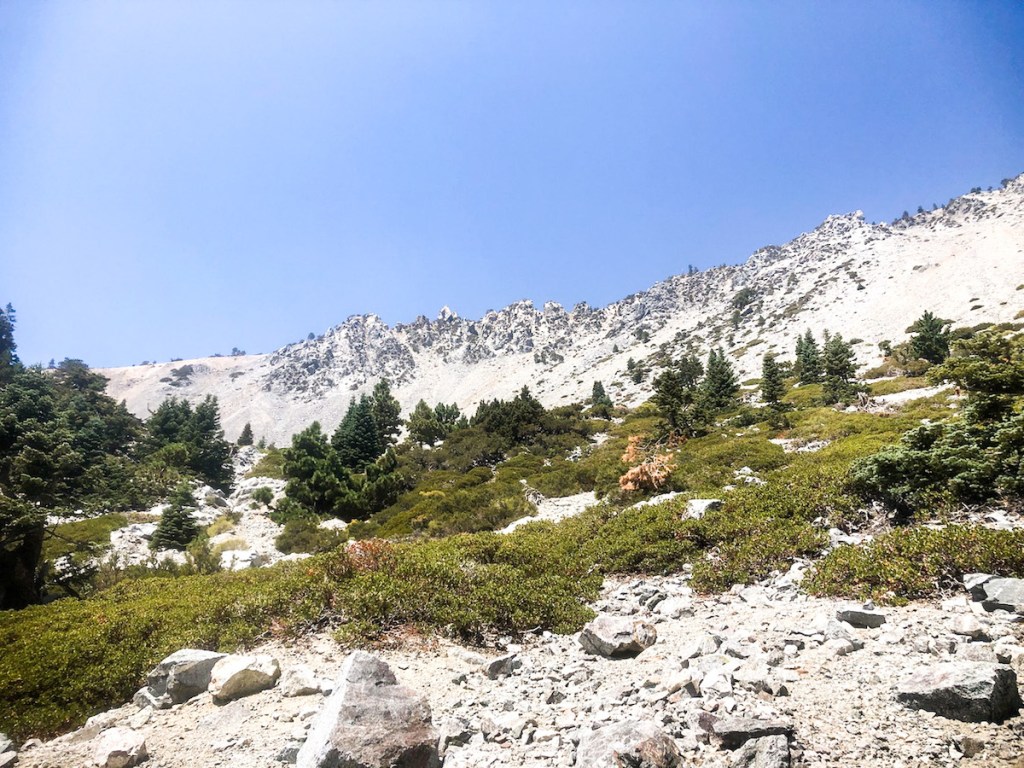
This narrow corridor of trail was both dynamic, and frightening. This was the Devil’s Backbone Trail. People have falling over the edge before. I did not want to be one of them.

Harsh conditions, create things of beauty, in their struggle.
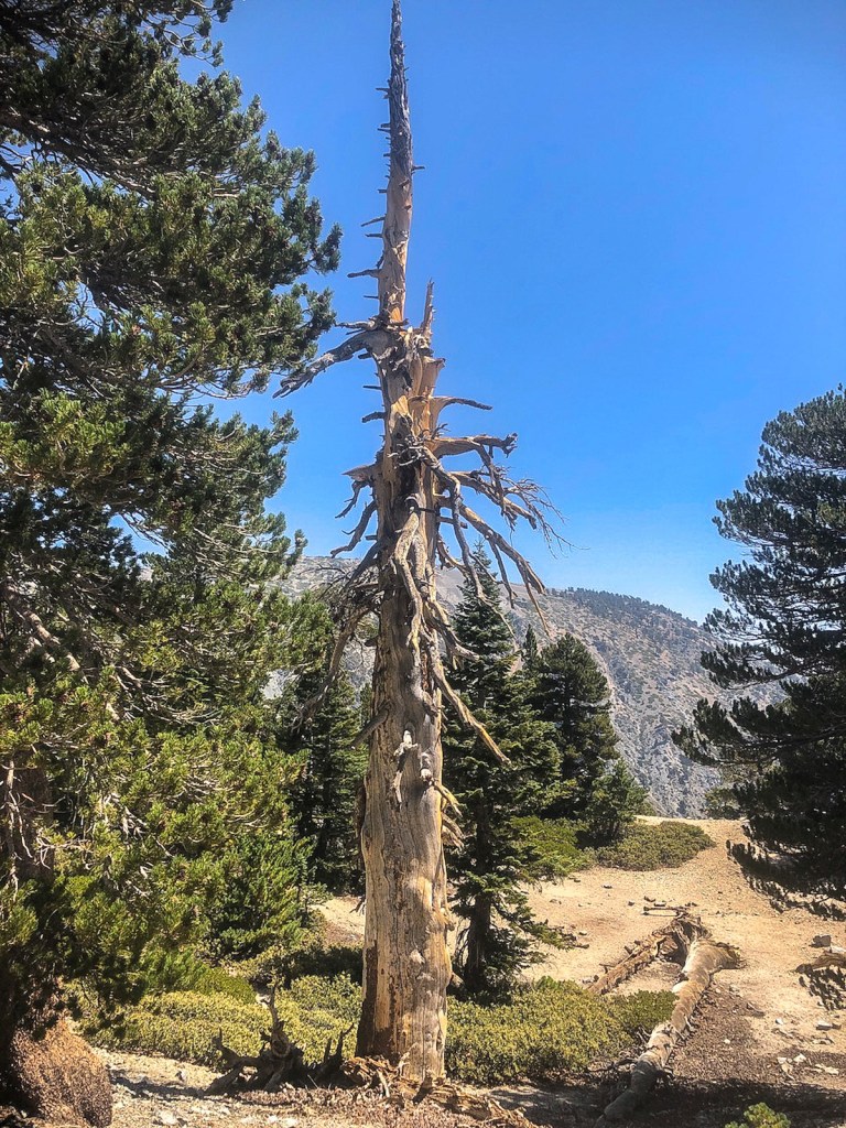
Some are mere skeletons.
A still life of large boulders, and the trees which love them.
The “backbone” of Mount Baldy, with its sheer drop offs, was staring me in the face. Either side has a 40 degree slope, with loose rock. Falling could result in sliding hundreds of feet. Gravity would take over. I used my trekking poles as added insurance.
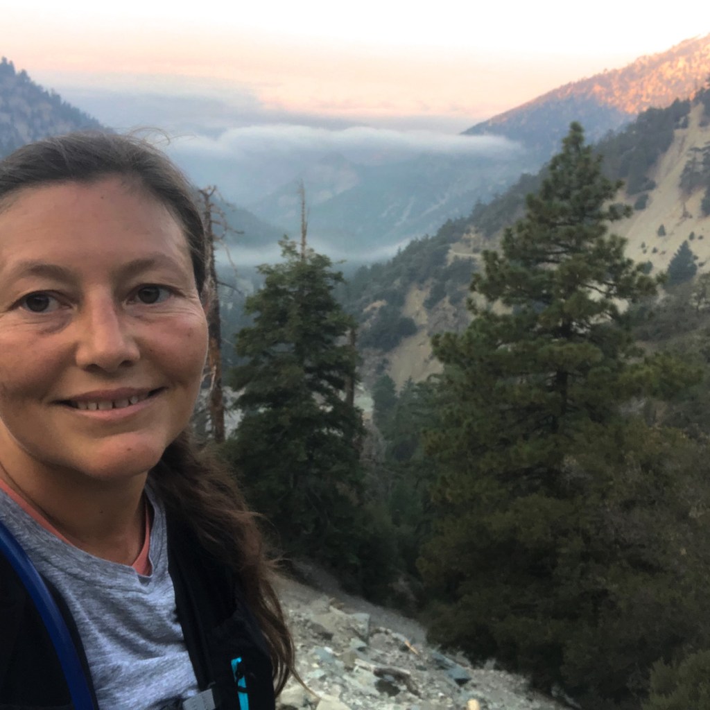
In a clusters of trees, I found a shady area to take a break. It was a good place to contemplate how far I had come, not just today, but in life.
This is a spot many people have fallen. It’s not Disneyland. Mountains are serious business.
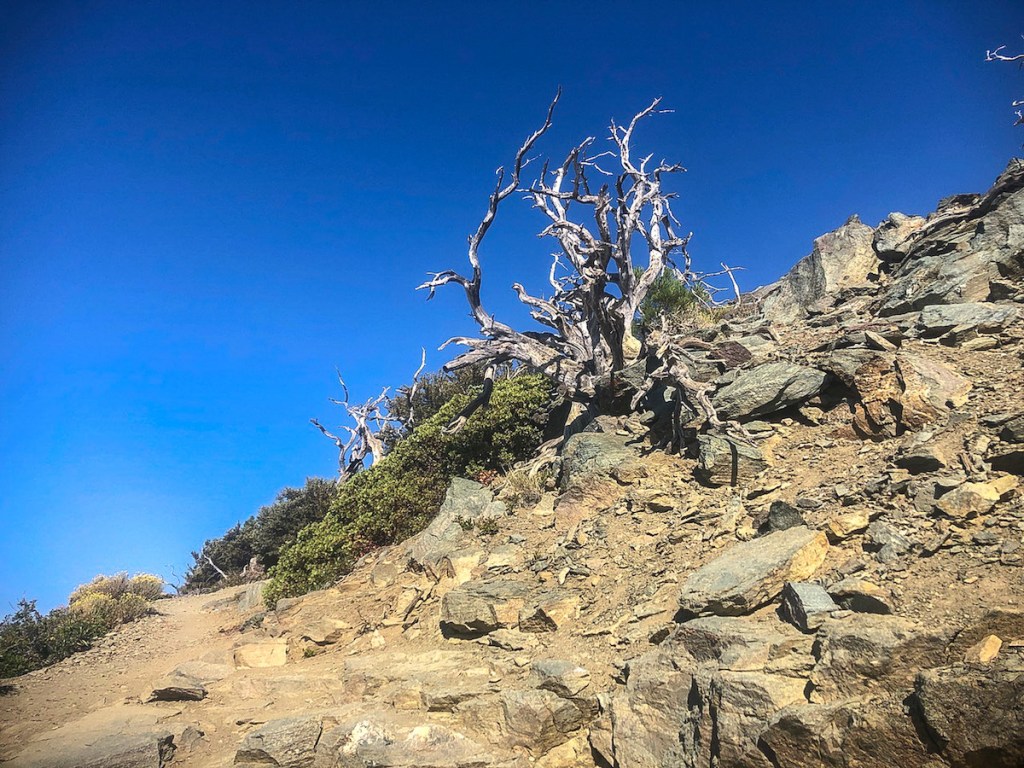
The scene grew ever more stark, the higher I climbed, leaving nothing but treebones.

One side of the trail is green, and the other is all rock. This is due to both wind and the rain shadow effect.

This was a rugged section of trail, with uneven, slanted rocks. The trail seems to disappear and was hard to follow. Suddenly I get passed by a hiker on my right. I am not alone after all.
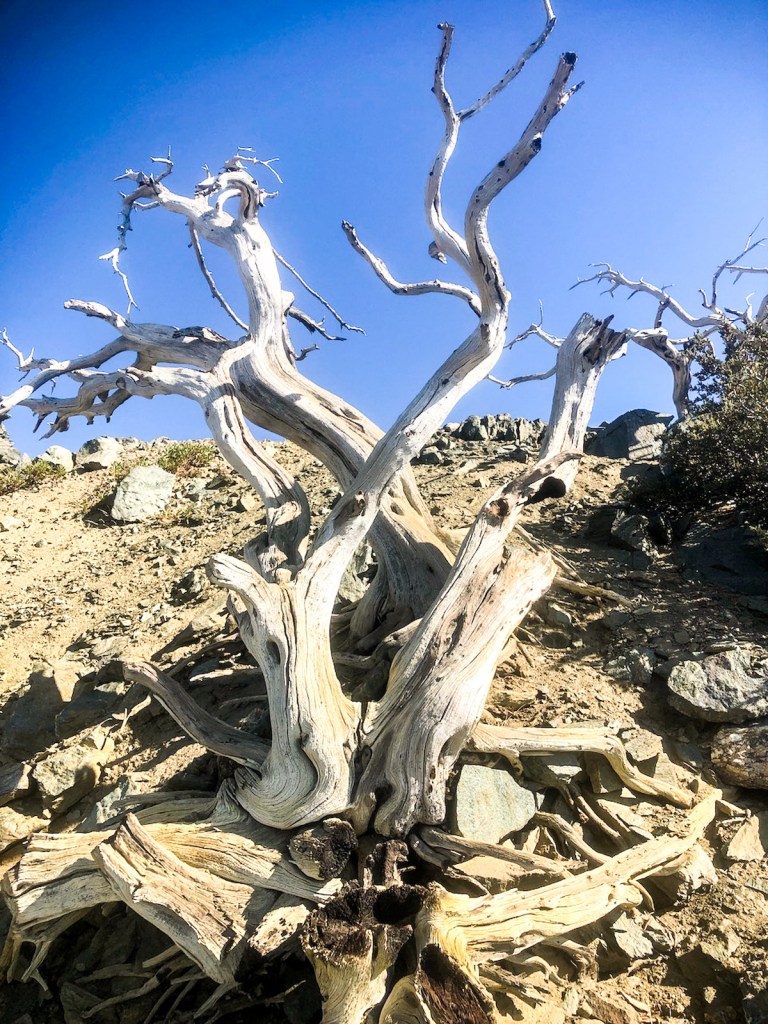
A skeleton of a tree, a reminder that life is short, you just need to live it!
Look back to where you came from, to find inspiration to keep moving forward.
The trees of Mount Harwood.
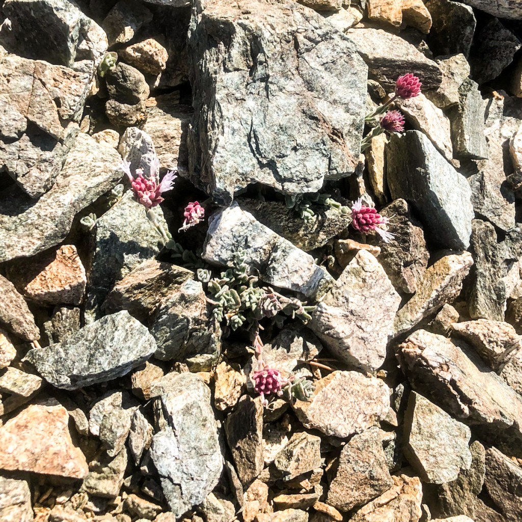
On my way up Mount Harwood, I noticed these beautiful alpine ice plants. I love to stop to smell the flowers, and admire their beauty.
A twisting barely recognizable to Mount Harwood, whose barren summit, is mostly devoid of most life.
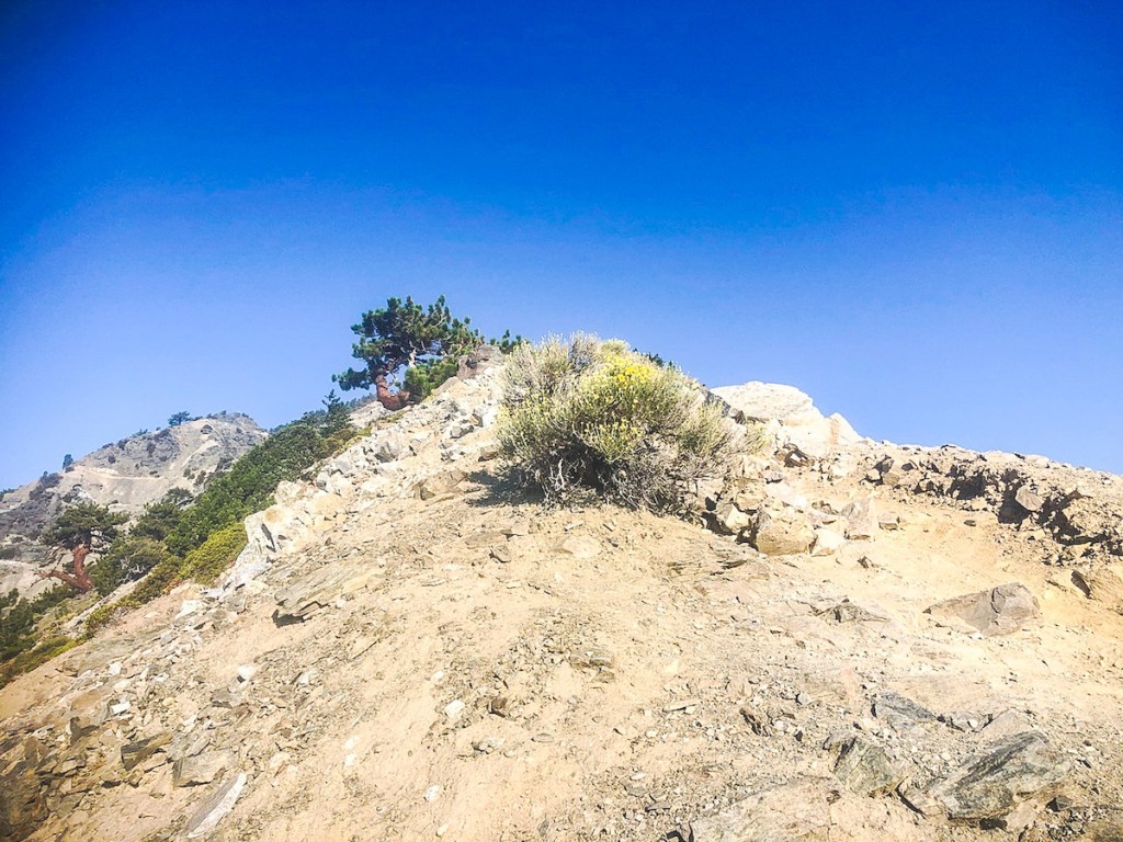
Atop Mount Harwood, there is nothing growing, and no peak sign. I was not able to find the USGS marker either. This detour, added another 200 feet of gain or so to my hike.

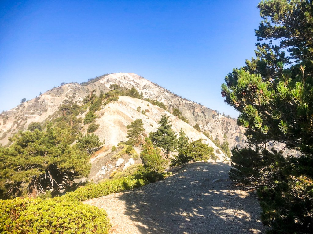
The trail was pretty non-existent, and I sure I was off trail, trying to re-link up with the Backbone trail. I did pass a weather beacon along the way. Mount Baldy was in my sights, and there was no question where I needed to go.
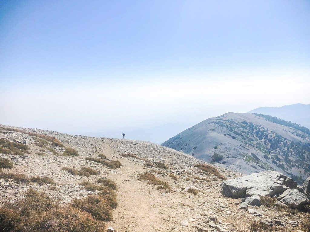
In the distance I spot another hiker, the second of the day. It’s now close to 11am. I decide to put my phone away, and focus solely on the remaining climb up Mt Baldy.
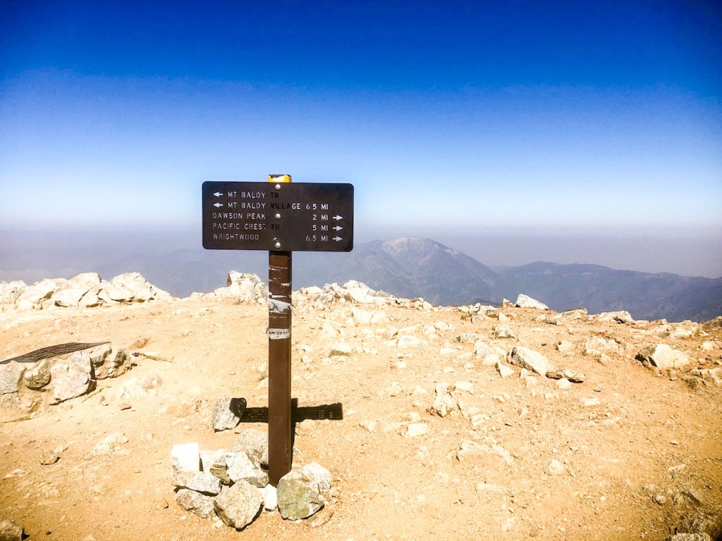
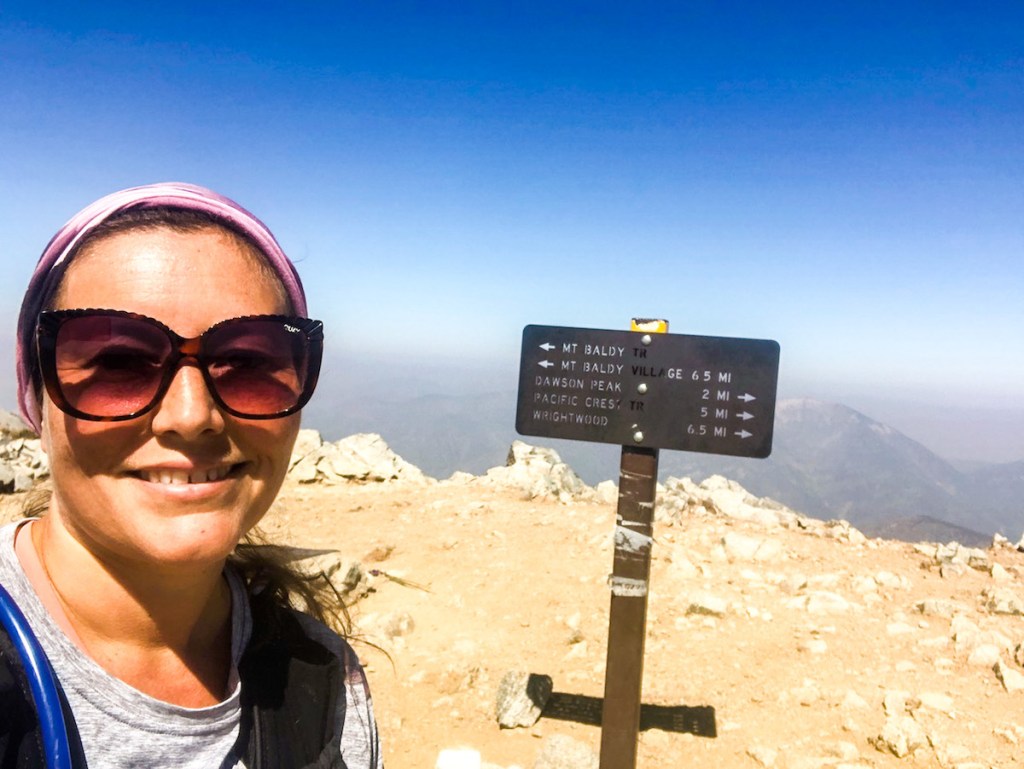
This sturdy sign would be my next photo. It’s a good sign, if you made it here.
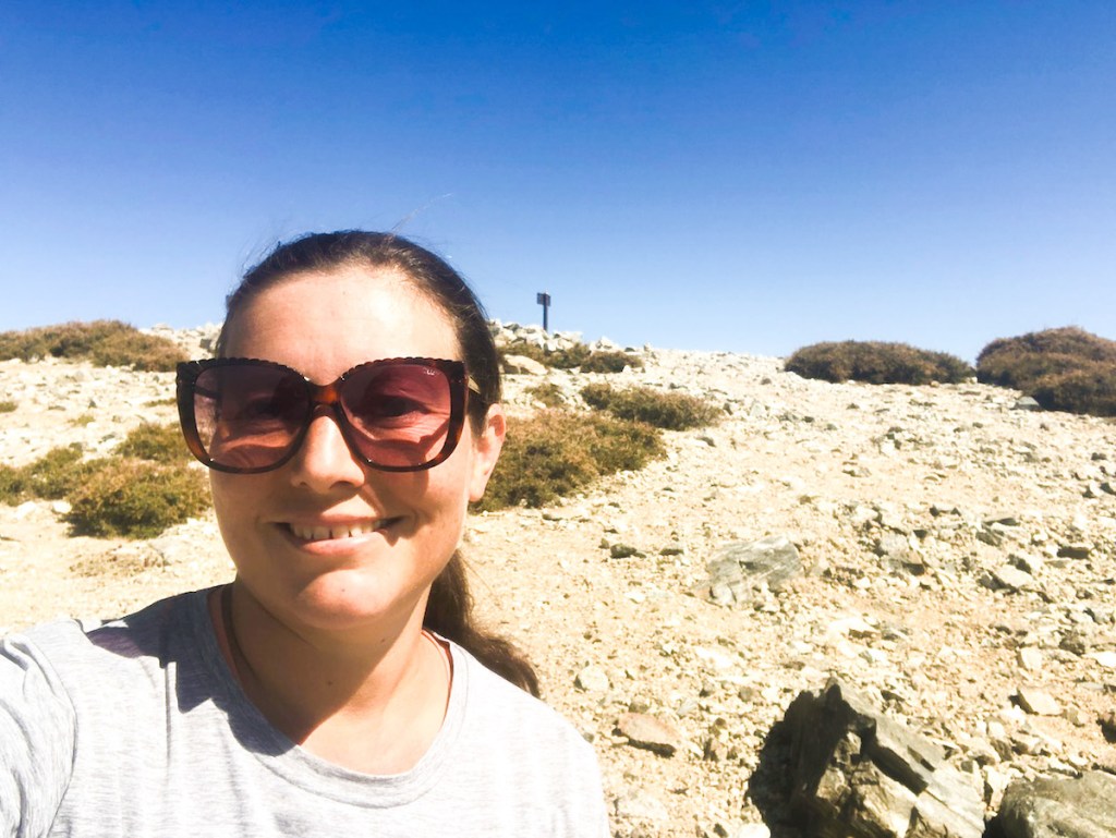
I have arrived on Mount Baldy. Two hikers are simultaneously leaving. Will I have the summit to myself?
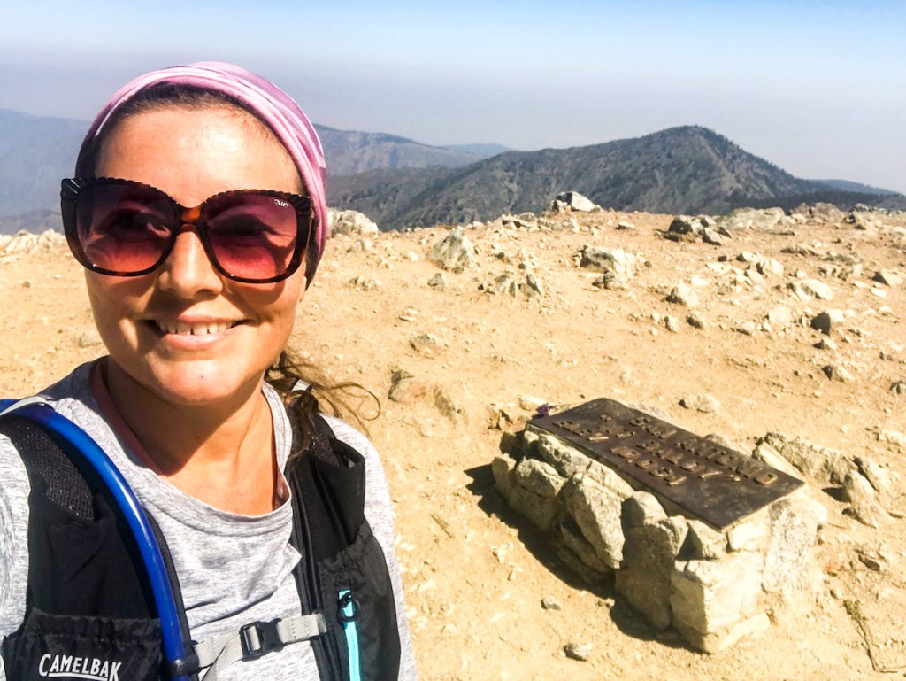
It was a proud moment for me, standing atop Mount San Antonio, the true name of the mountain.
I dedicate this climb to my Dad, who had this mountain’s namesake. He never climbed an actual mountain, but climbed over many obstacles in life, until heart disease. He is the reason I began to care about my own health and wellness. He was only 60 when he passed. He always encouraged me to be fearless. Rest in Peace Dad.
If you can climb a mountain, then what else can you do? That is the question.
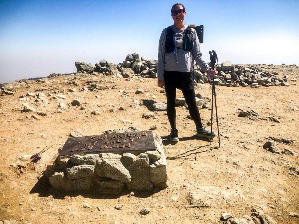
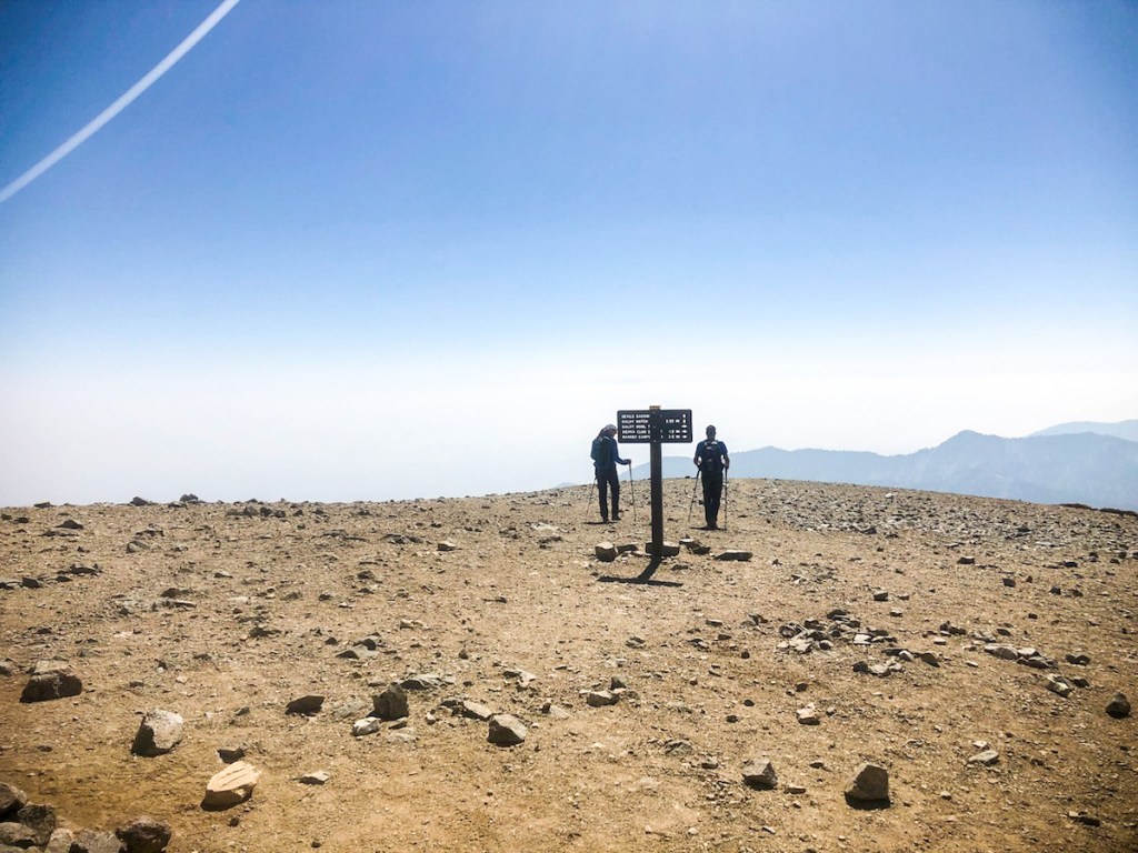
Another solo hiker came along, and he snapped this one of me. Having the summit to yourself is pretty neat, but sharing it is pretty awesome too. We always need to Share the Love in life.
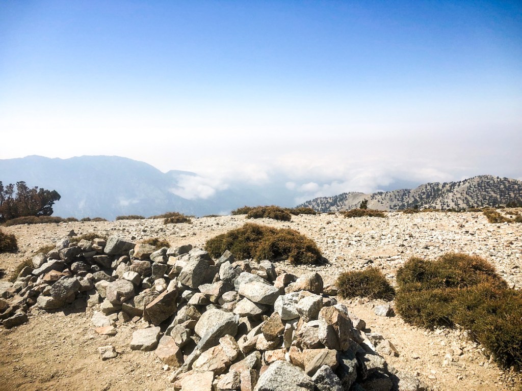
Hikers made these rock piles to shelter from the wind, when they pitch their tents here. Maybe next time?
It’s a moonscape up here. I feel on top of the world!
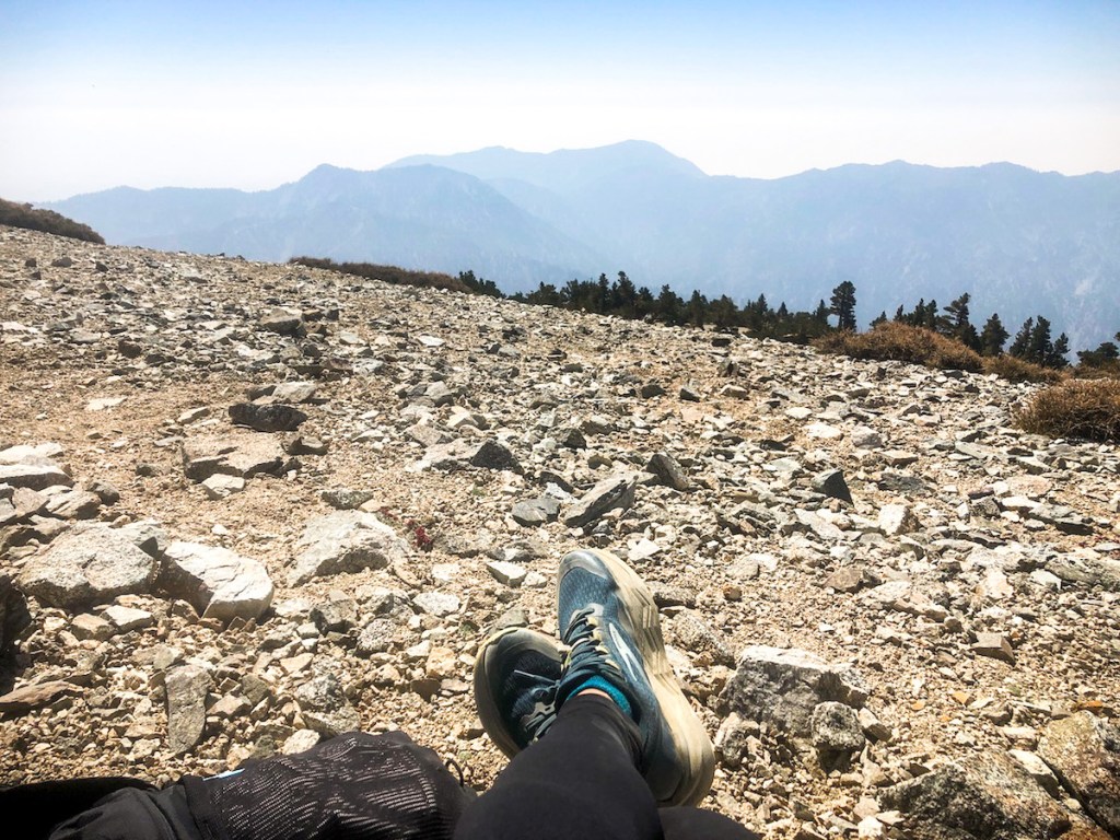
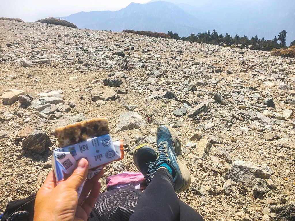
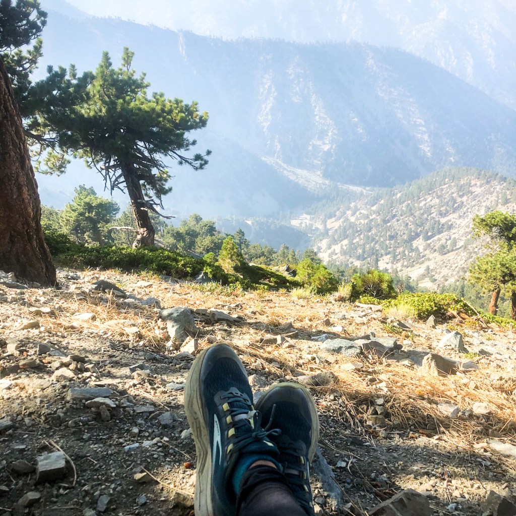
It was time for a snack break. I was really believing in these Brooks Caldera Trail Runners at this point. My feet were very comfy, so I guess they are Baldy approved.
Hiker happiness is real.

Another peak, another Pro Bar, my snack bar of choice. They are 400 calories per bar. I love my carbs!

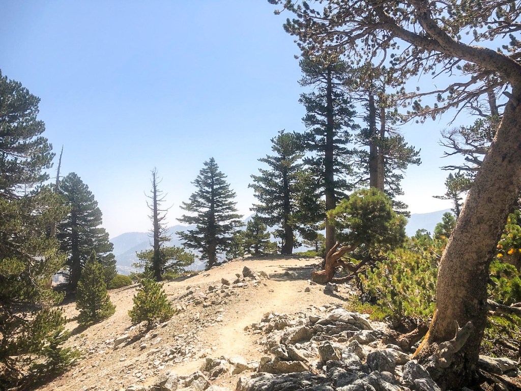
After about 30 minutes, I headed down Ski Hut trail, passing a few dwarf pines living harmoniously amongst the rocky soil of the ridge.
The smell of pines is always amazing.

This was a particularly beautiful, yet steep, part of the hike.

This is where the trail begins to drop off.
Off to my right was the Old Baldy Trail, which climbs from Baldy Village. It’s very long, and I would like to hike there too someday.
Heading downhill is the reward of a big climb.
Is it a candlestick? Why are some trees molded by the wind, and other’s stand straight up?
The rocky and steep areas are where many hiking accidents have occurred here. In winter the bowl and register ridge, are where mountaineers go. Right now it’s just a boulder field.
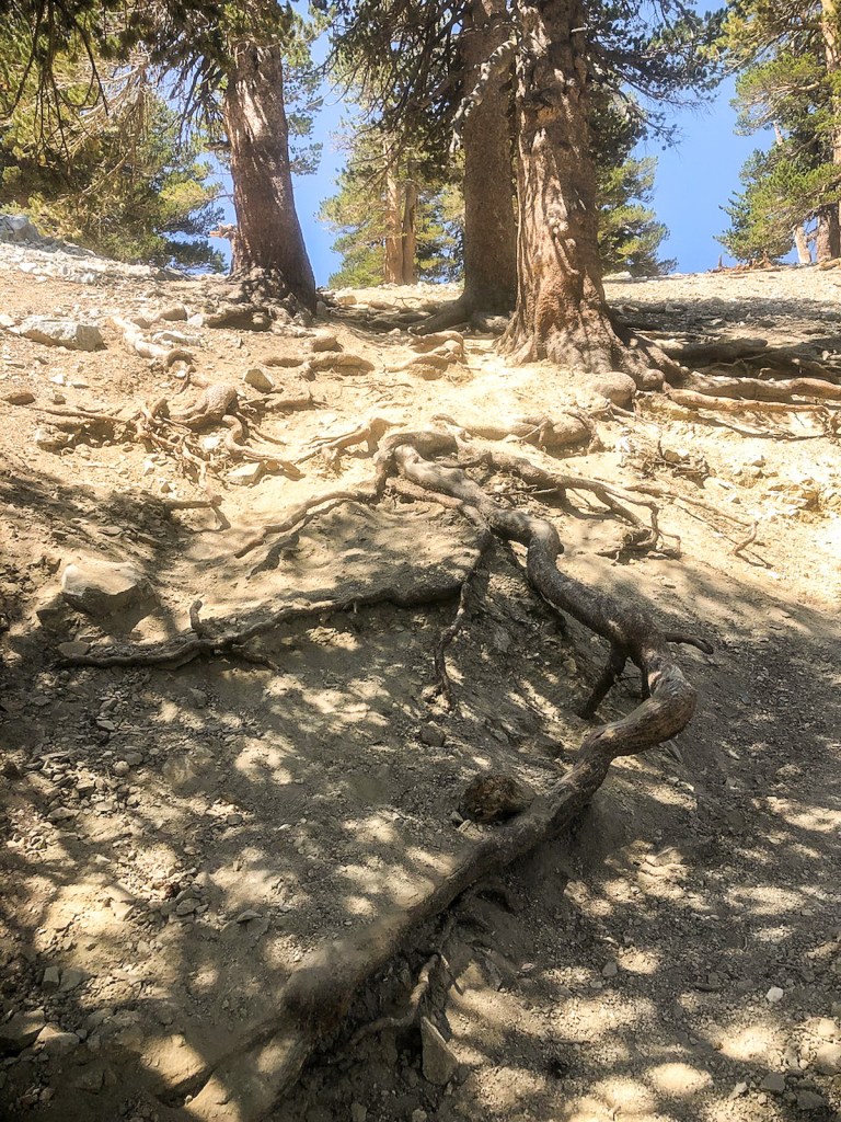
There were lots of exposed roots here, which I had to be careful not to trip on.
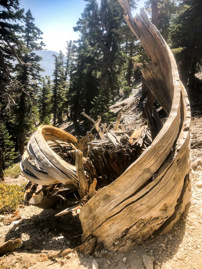
This tree had literally been unravelled. The power of mountain weather cannot be underestimated.
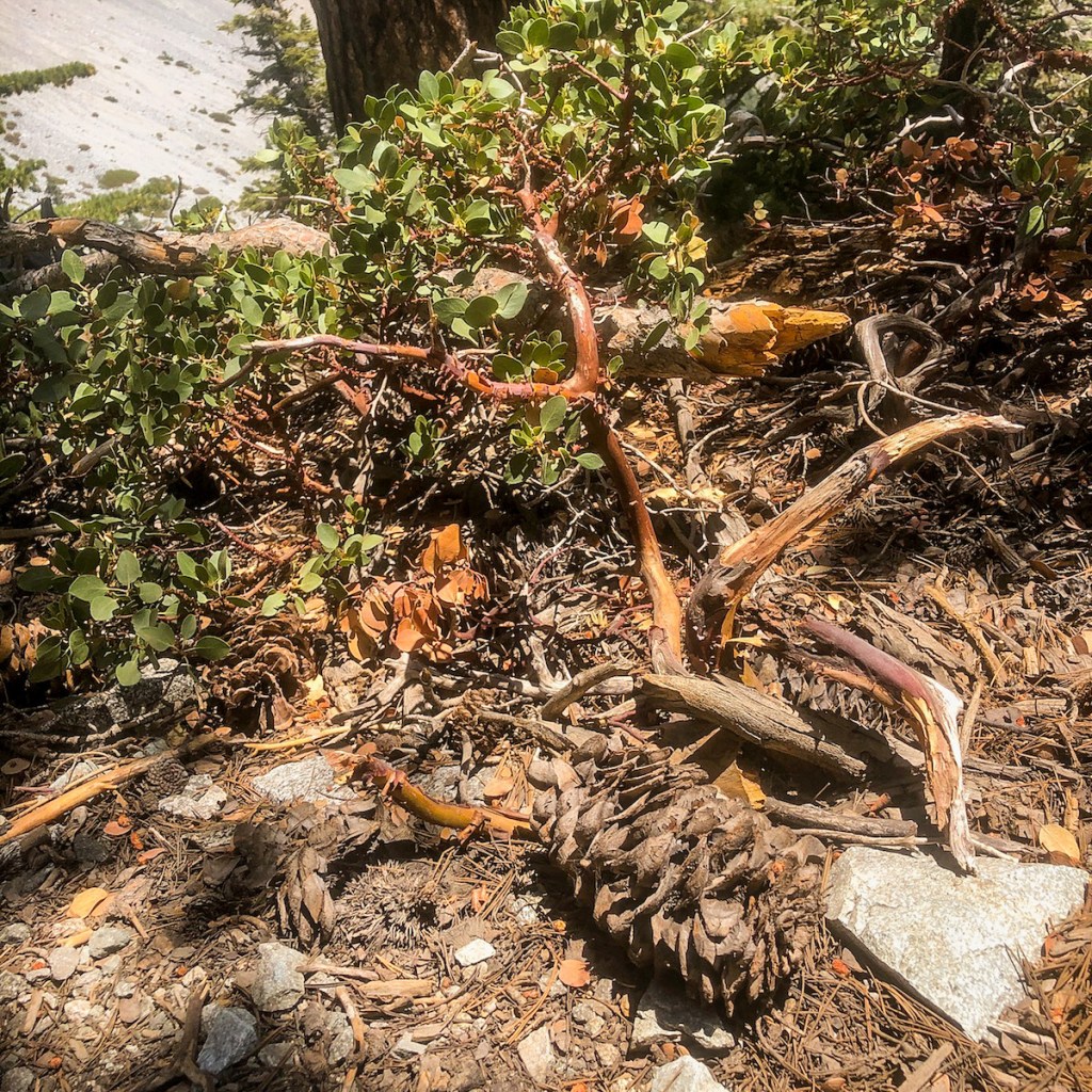
The red bark of the native Manzanita.
I was awestruck by the immense boulders that rolled down the mountainside.
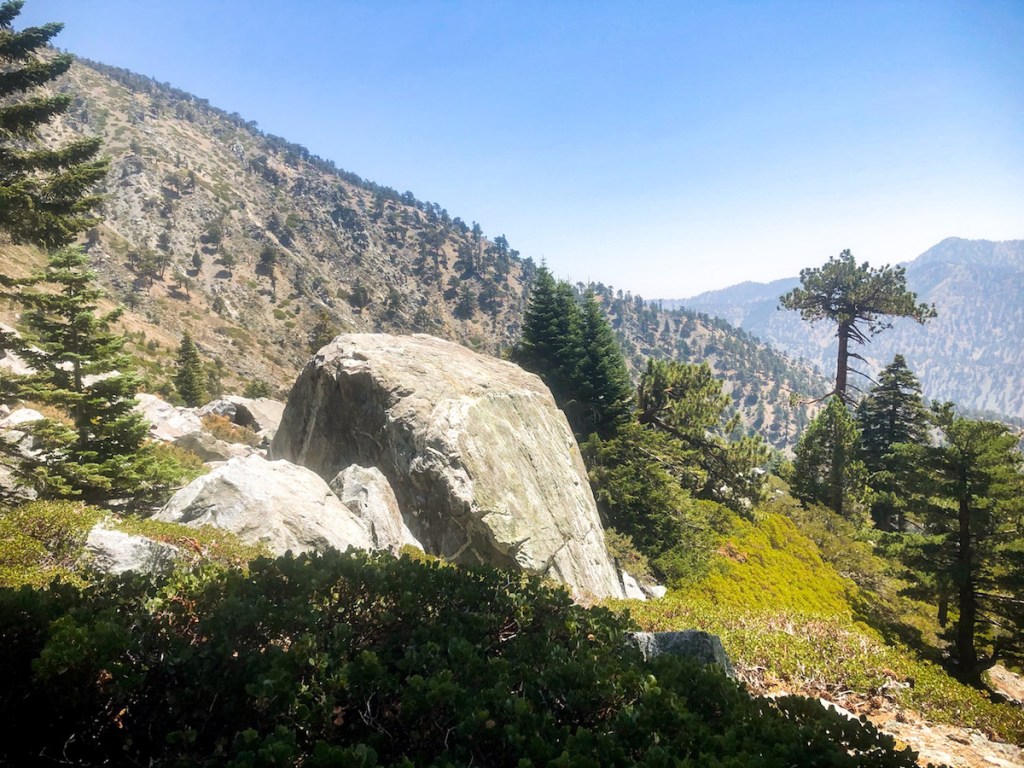
Freeze and thaw cycles can send huge boulders traveling down until some other obstacle gets in their way.
The view here sort of reminds me of staring up at the naked granite spires of Mount Whitney.
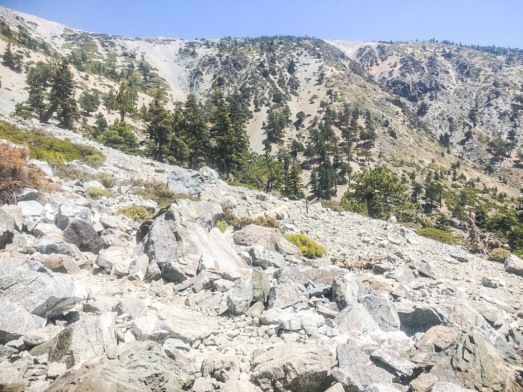
I came across a large boulder field (scree), which I must pass. The trail again disappears somewhat. Some of the rocks appear to have dirt on them, from hikers boots, which was my only indicator of where to go here. I was on the lookout for cairns, but saw none.
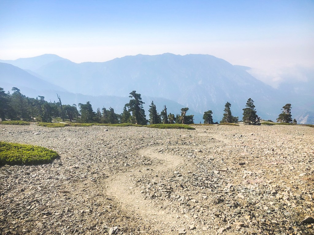
.This was the best view of Mt Baldy, of the entire hike.
With just about two miles to go, I already felt accomplished, and was feeling inspired to just hike more, to even higher peak.
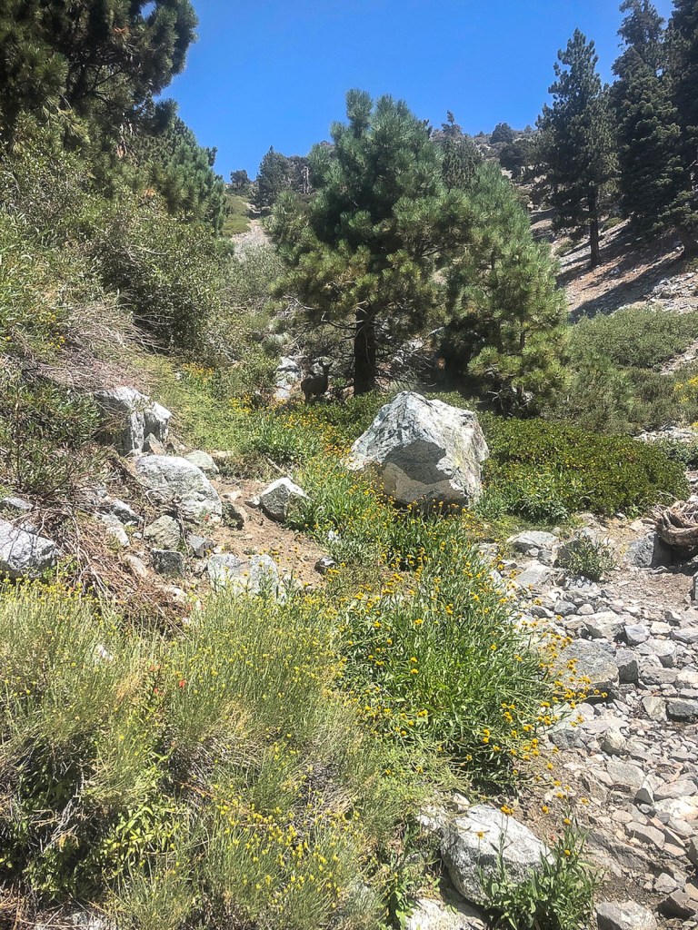
I entered a woodland, alive with colorful wildflowers. It was starting to feel pretty warm out. A big deviation, from the 40 degree temperatures of the morning. That’s mountain weather for you.
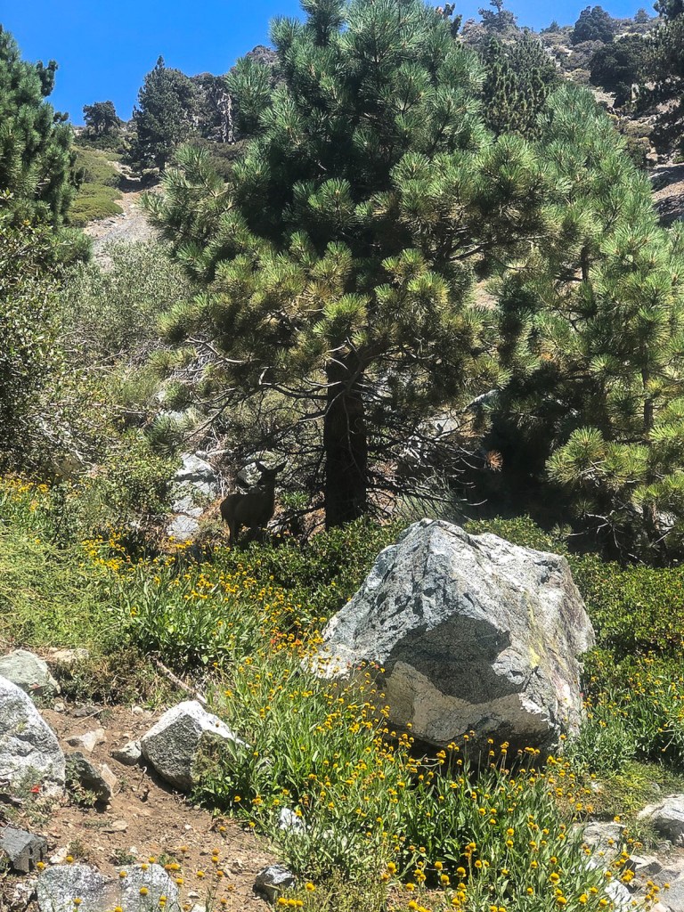
I spotted a family of deer, under the shade of a pine tree.

I crossed a small stream, with yellow wildflowers growing along its banks.
I passed “Crown Rock,” maybe famous only to me.

Finally, I found the famous San Antonio Ski Hut. I took a quick look around, and continued onward.
I was able to enjoy one more beautiful mountain scene, with wildflowers, and the intricate, now quite distant Mount Baldy ridge line above.

I was right on track, and I would stay to the left, heading to Manker Flats, with about a mile or so to go.

I made right on Baldy Rd. I finished the last half mile of hiking, passing San Antonio Falls, arriving back at Manker Flats. It was around 72 degrees out, and I felt like it was time to cool off. It was a successful summertime summit. I did not freeze, and there were no surprise storms. The hike took me about six hours, plus about 45 minutes of taking breaks.
Until next time Mount Baldy!
If you are still not sure if you should, or should not hike to Mount Baldy, check out my Mount Baldy Guide here.
Hiking Tips
- Bring the 10 Essentials
- Download Maps
- Check the Weather Report
- Share Your Itinerary
- Bring a Friend
- Overprepare
Quick Facts
| Trail Name | Mt Baldy Via the Backbone Trail and Manker Flats |
| Peak | 10,006 ft |
| Trail Length | 12 miles |
| Gain | 3943 feet |
| Parking | Free – on Baldy Rd. by Manker Flats trailhead |
| Restrooms | Pit toilet at trailhead |
| Dogs | Yes, leashed |
| Cell Service | 1 bar |
| Location | Angeles Forest, 1-1.5 hrs drive from Orange County |
| Directions | Take Baldy Rd to trailhead past Mt Baldy Village |
Disclaimer: The work on this Serafina Hikes blog, and my youtube channel, along with any associated social media accounts, is my opinion and my opinion alone. I am not responsible for the outcome if someone were to apply my thoughts or opinions presented to their own life. All text and photography copyright 2020-2021 by Serafina, all rights reserved. Information and opinions provided are kept current to the best of the author’s ability. All readers use of ideas and opinion presented in the blog, is at their own risk. Be aware of the possible dangers of hiking, surfing, walking and other physical activities, which may take place outdoors. By reading this, you agree not to hold the author or publisher of the content on this web site responsible for any injuries or inconveniences that may result from reading the blog, or partaking in any activity mentioned in the blog. Read the blog, and use it’s ideas, if you so desire, at your own risk.
