4-11-21
Orange County has redwood trees?
This is not the Pacific Northwest after all. But I had heard a rumor there are redwoods here, and thought to myself, that I guess anything is possible. With some quick research, it was confirmed. Th1 124 acre Carbon Canyon Park has redwoods growing. It is located in Yorba Linda, CA.
2 Trails in 1 Day
I don’t get to Chino Hills much, but had heard all about it. I decided to combine the very short 1.1 mile hike to Carbon Canyon Redwoods, with a hike to Gillman Peak in Chino Hills.
Carbon Canyon
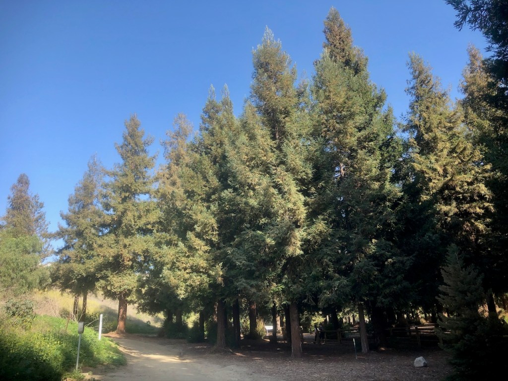
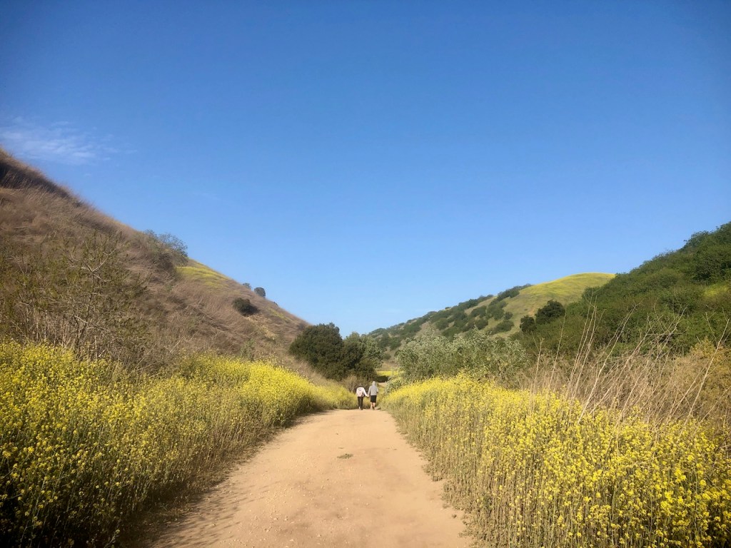
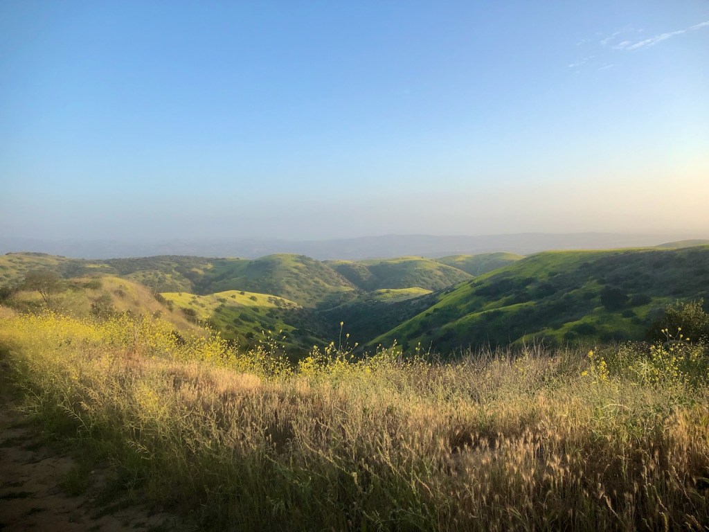
So I started my day at Carbon Canyon, which sits right next to Chino Hills State Park in Yorba Linda.

It was a beautiful early spring day, and the hills were turning golden, as I headed from the parking area at Carbon Canyon making my way toward the redwoods.
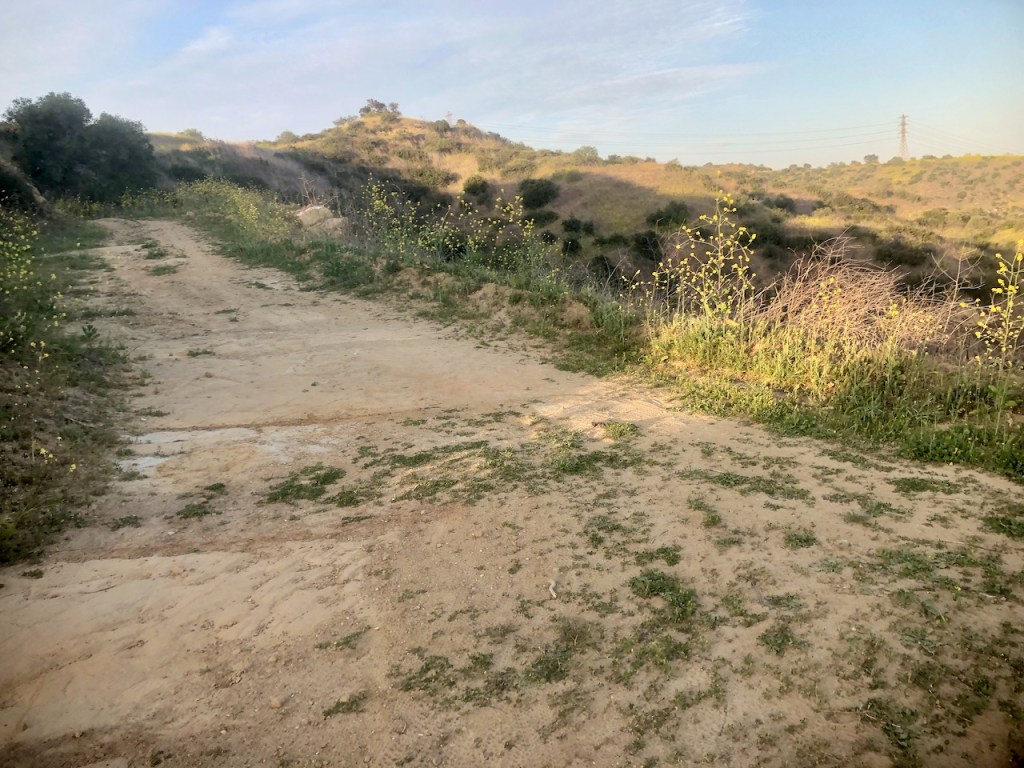
The trail was very wide, and flat, surrounded by lots of brush. There is a dam here as well, and some people were walking on it, but I was just here for the redwoods.
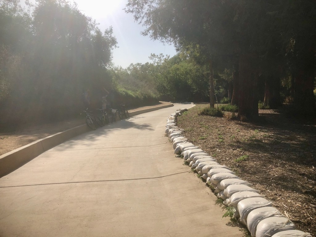
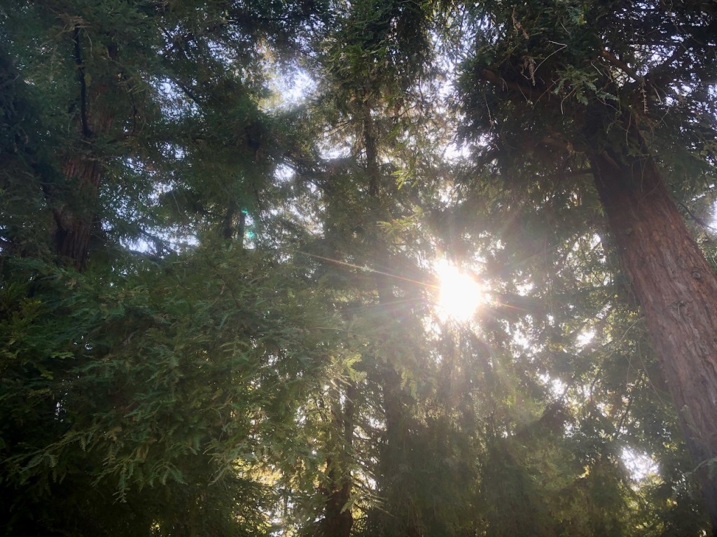
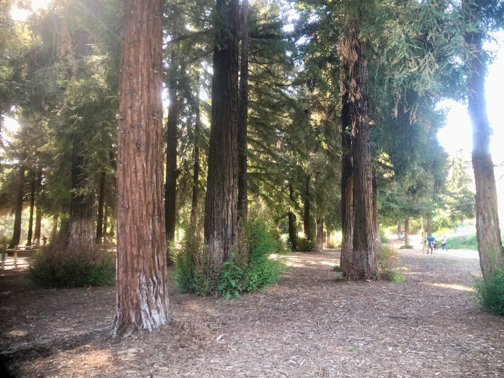
The trail even turned paved, as I arrived at the redwood grove.
I was amazed I was standing amongst the redwoods once again.

I have lived among redwoods twice before. Once in Humboldt County, and again in Santa Cruz.
Redwood Groves
I have visited several famous groves too in California, such as Mariposa Grove in the Sierras, Muir Woods near Sausalito, Henry Cowell Redwoods in Boulder Oaks, Montgomery Woods in Mendocino, along with several other smaller groves in Big Sur. Both Julia Pffeifer Burns State Park and Limekiln State Park, have redwoods, as does the main drive through of Big Sur. Probably the most redwoods I have seen, and the largest were in Humboldt, and Del Norte County, in the far north of California, along the coast.
I love redwoods, and my mom has dawn redwoods on her property back east. It’s interesting the places they can grow and thrive.
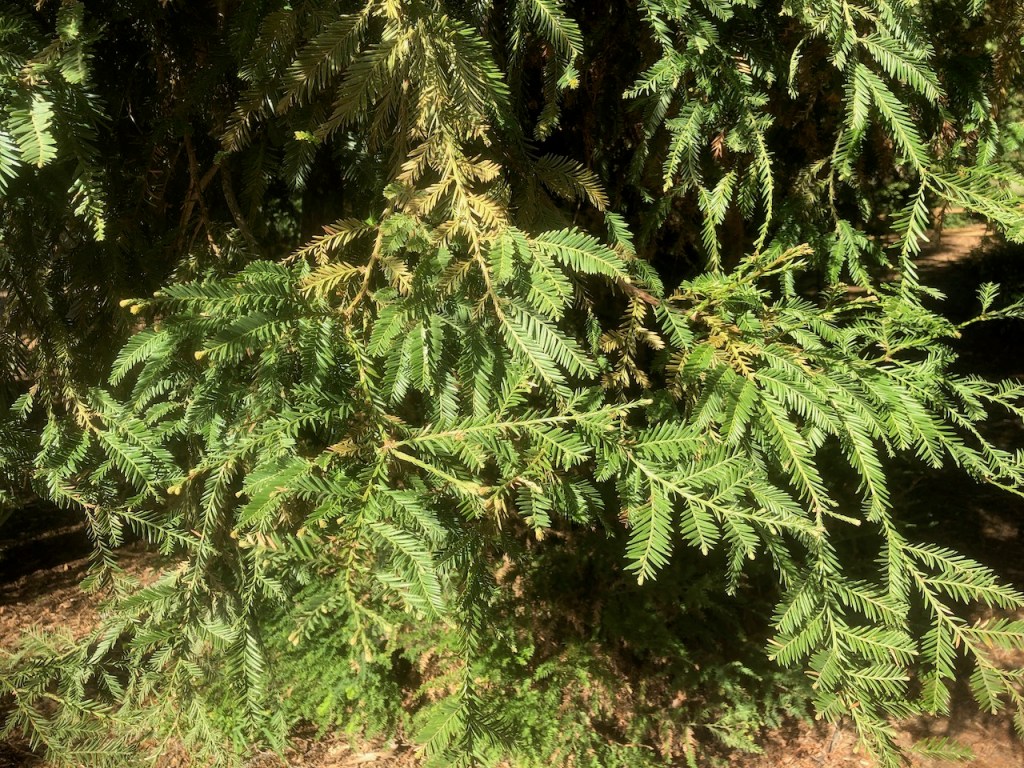
This is a truly beautiful grove of young redwoods.

It was interesting learning about them and how they got here too. The whole hike is one of the easiest in Orange County too, being flat the entire way, and the trail easy to follow.
About Carbon Canyon
The area was originally called Olinda. It was settled by farmers and ranchers, who grazed their cattle and sheep here, until an oil boom happened in the 1800’s. Olinda became Carbon Canyon Regional Park. Since Carbon Canyon Creek used to flood a lot, so a dam was constructed nearby as well. In 1975 the 124 acre park opened here with its redwood grove. They are not native Sequoias, but seem to do well here just the same.
Chino Hills State Park
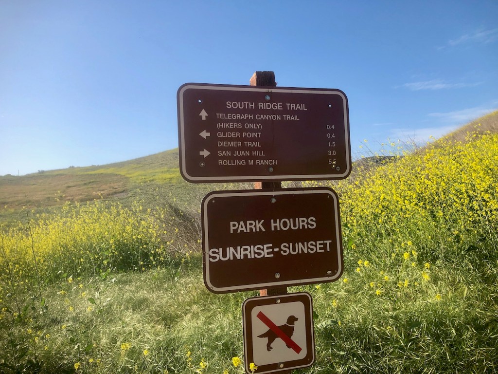
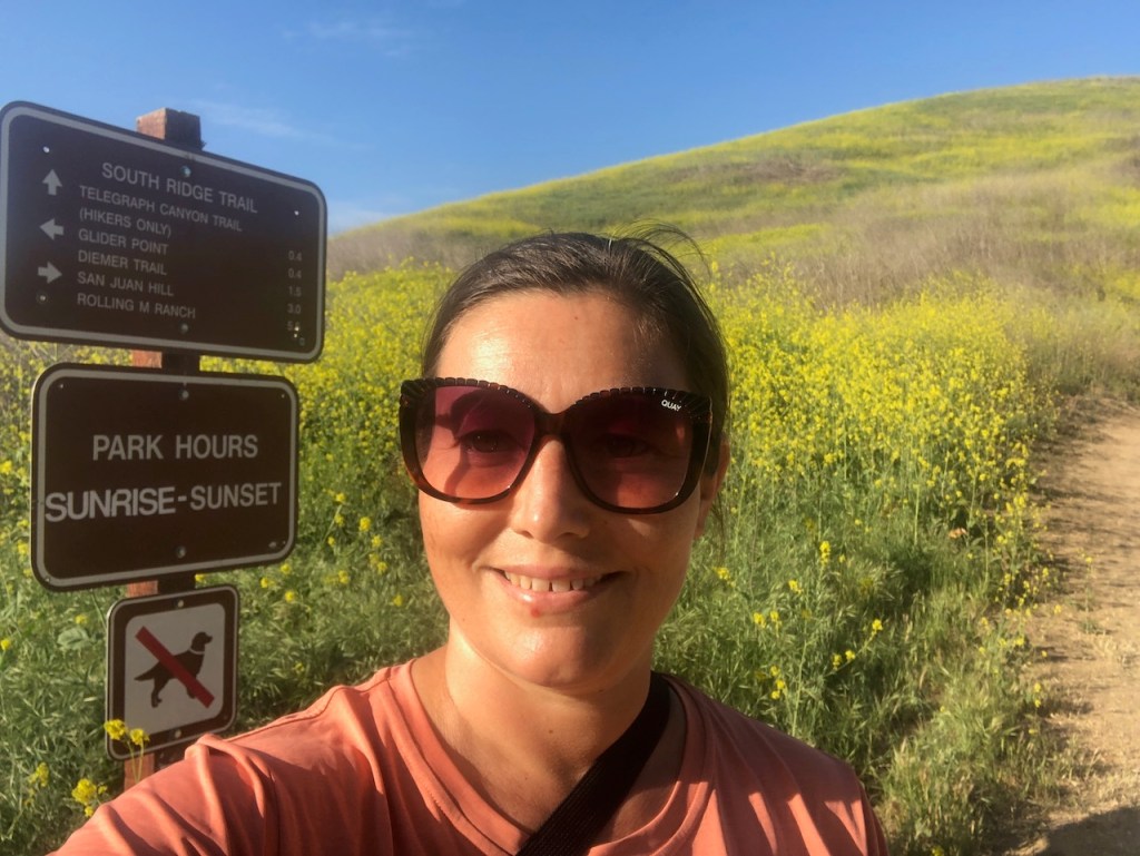
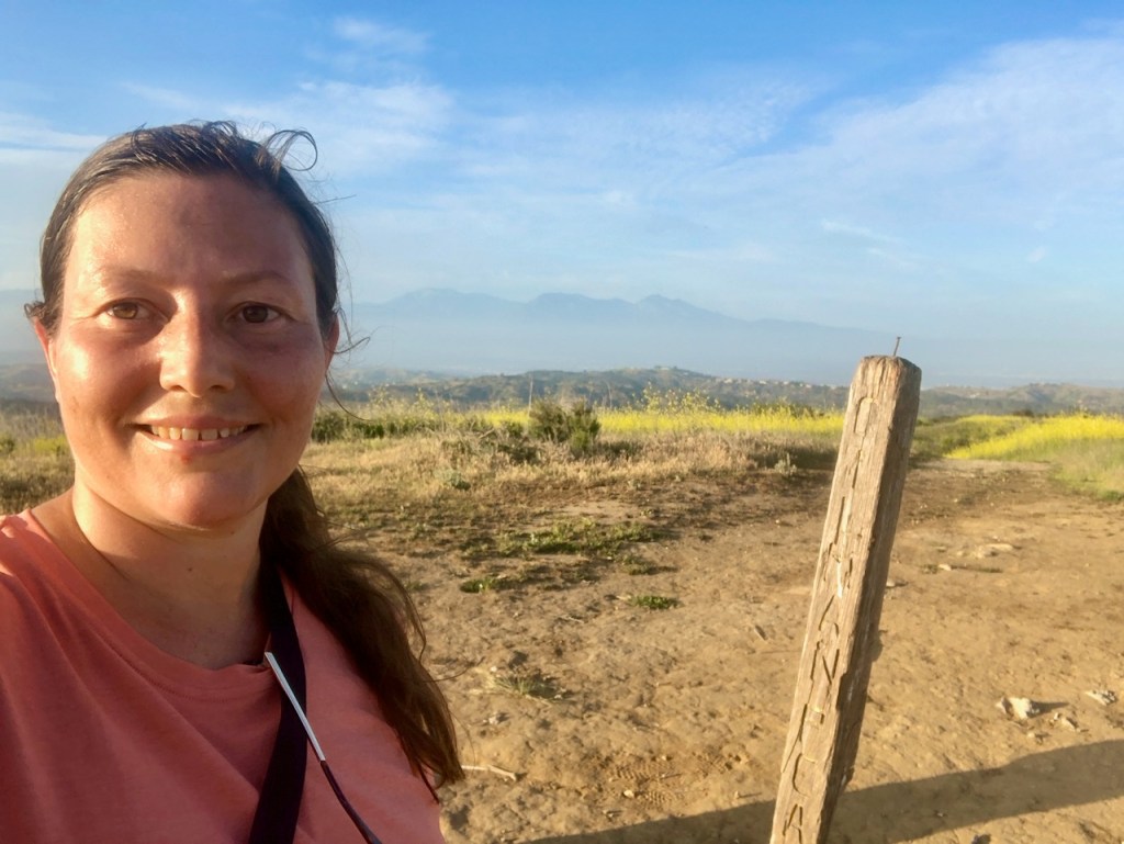
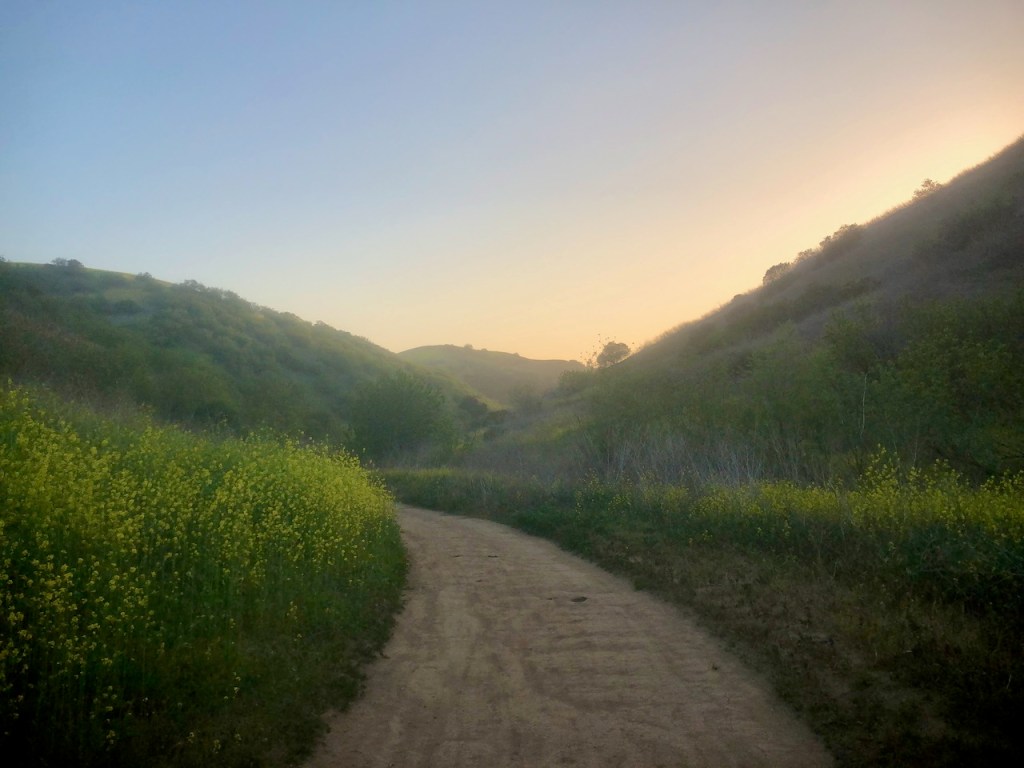
It was on to Chino Hills and Gilman Peak. I would begin my hike from the trailhead at Rimcrest Dr. I would be taking the Easy Street Trail, from the trailhead, on to Telegraph Canyon, where I would make a right, before making a left on Gilman Peak Trail. I had not ideas when I went here, that this trail is for winter only from Late November to Early February. When it gets overgrown, this is not an option. I would learn the hard way, that rattlesnake season is real.

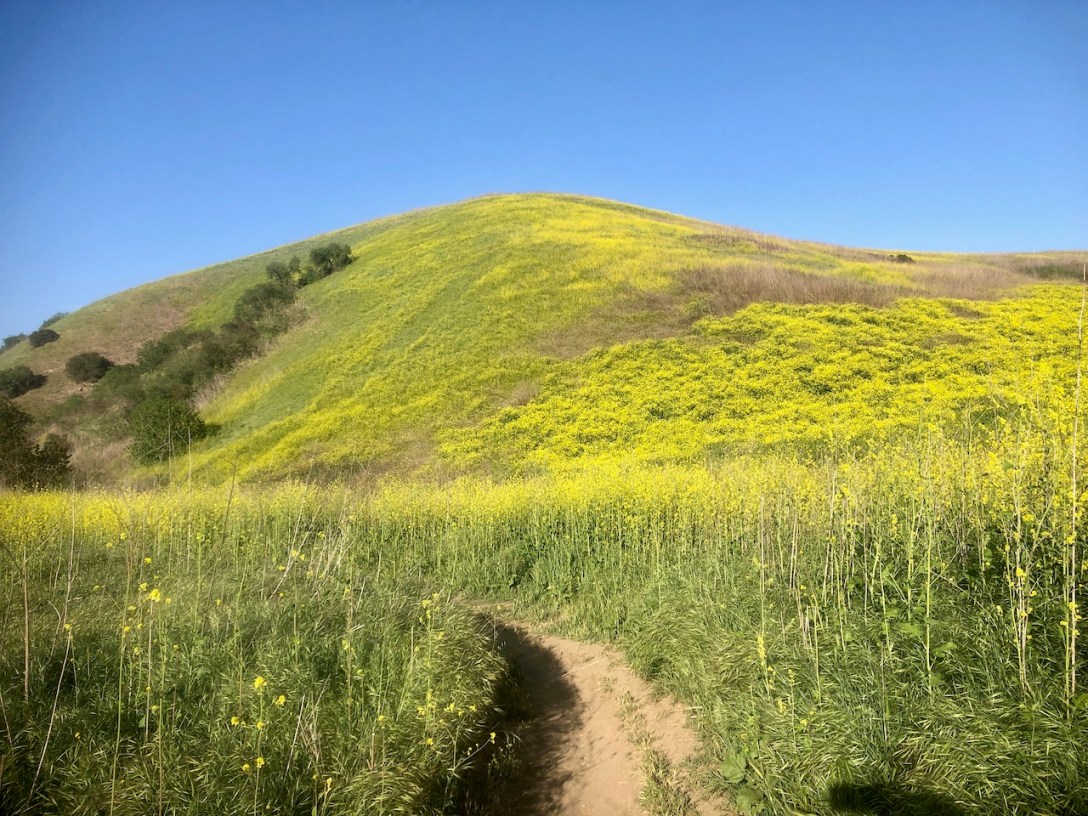
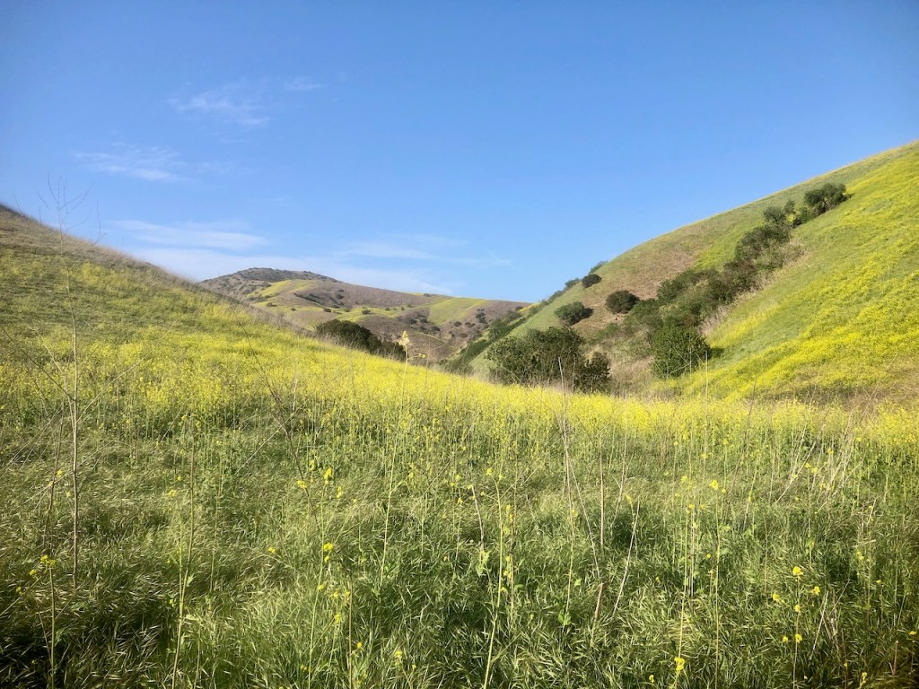
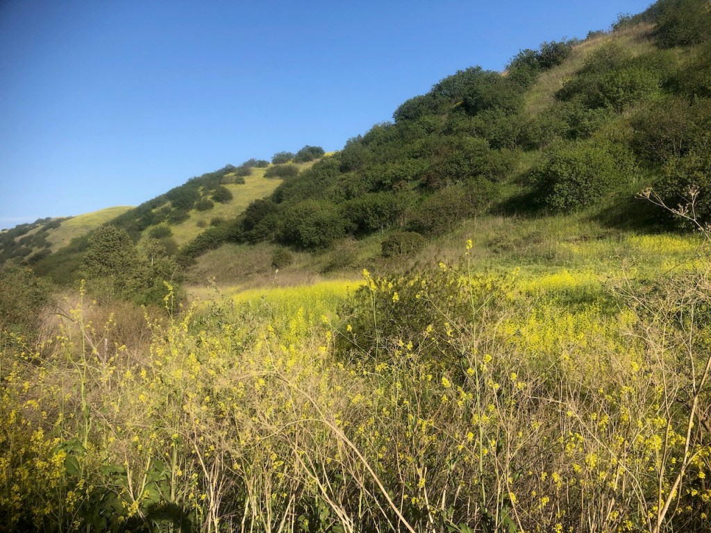
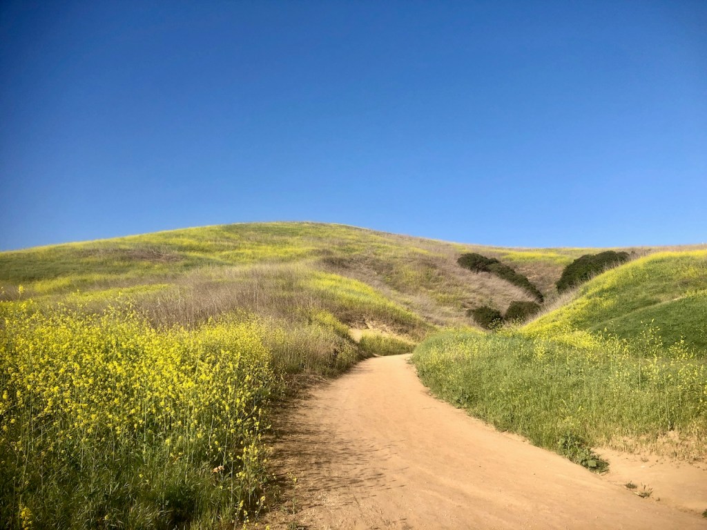
I headed down Easy Street Trail wading through the mustard blooms.
I had heard about rattlesnakes, but strangely never saw any of them on the trail, so decided I would not let fear stop me from wading through these golden blooms, snakes or not.
Boy could I have not been more wrong, about my decision. Here is how it all played out.
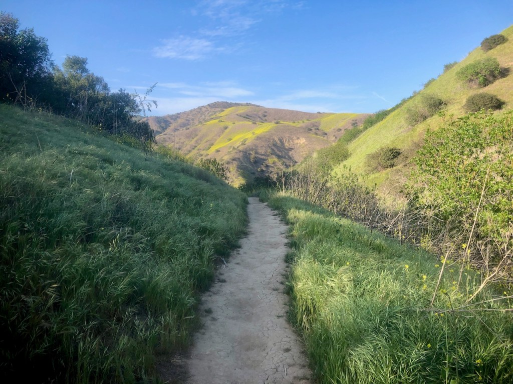
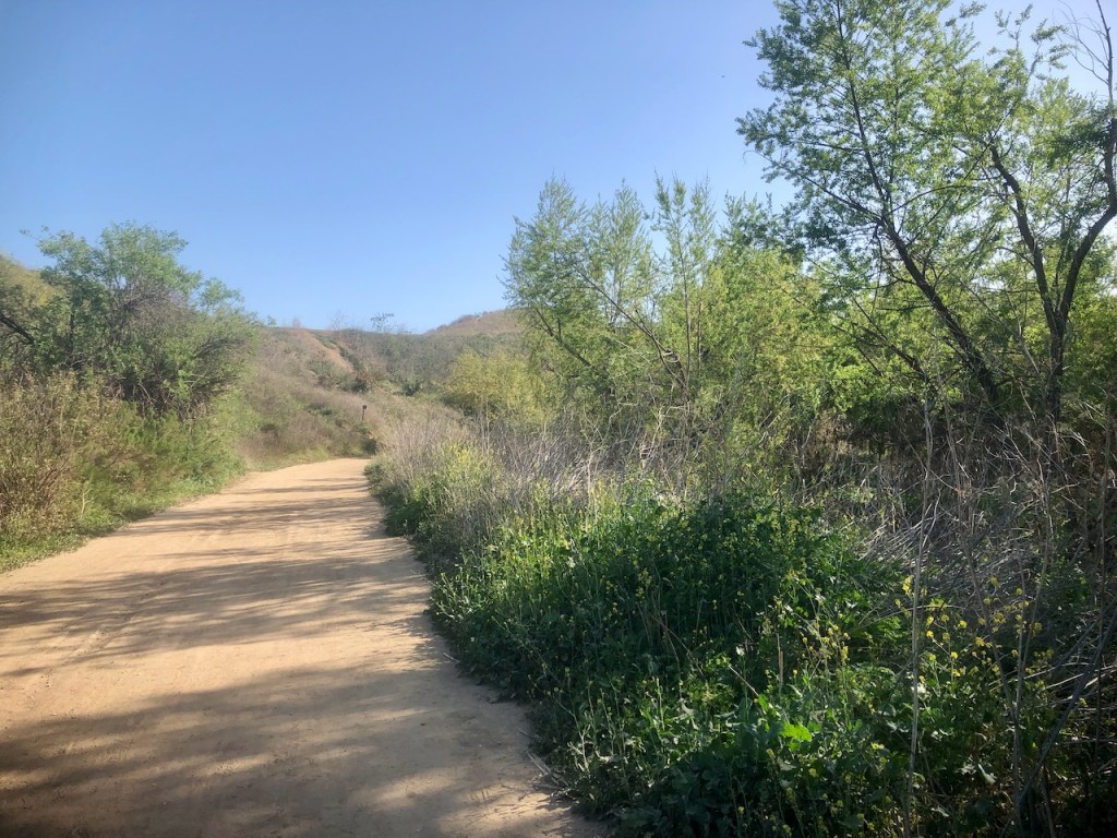
I continued hiking on towards Telegraph Canyon Trail on Easy Street Trail. It started to be less overgrown for a ways.

I passed through a small scenic oak grove, before making a right on Telegraph Canyon.
The trail was now rather wide. I had not been to Chino Hills before, and I was unaware that this park is highly infested with rattlesnakes, especially in spring. Early spring is the absolute worst time to come here. Baby snakes start hatching, and their venom can be just as deadly, if not more deadly, than an adult snake.
I started making my way down Telegraph Canyon.
The trail I chose on alltrails was 4.3 miles, called the Gilman Peak Loop.
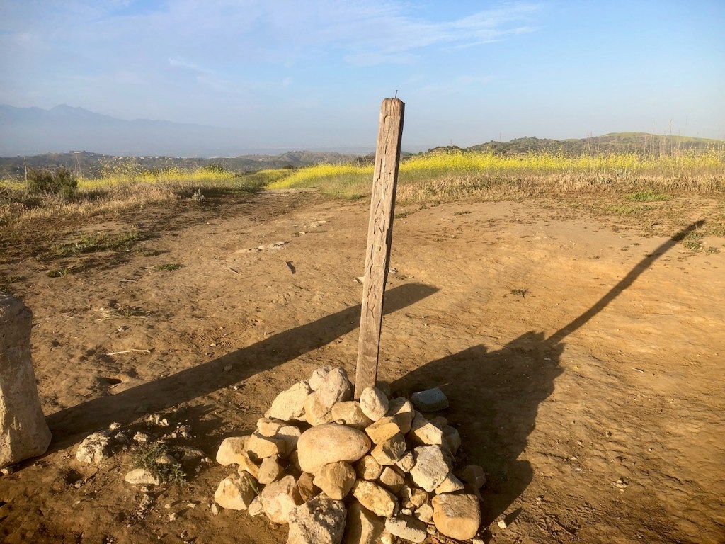
I noticed alltrails was now directing me on to a narrow single track, through the brush. Gilman Peak Trail was unmarked and barely noticable off to my left.
Nothing on the app says anything about the right season for a particular trail. I had no idea, spring was the wrong time to hike this one. Were it late November through early February, it might have been fine to go this way though.
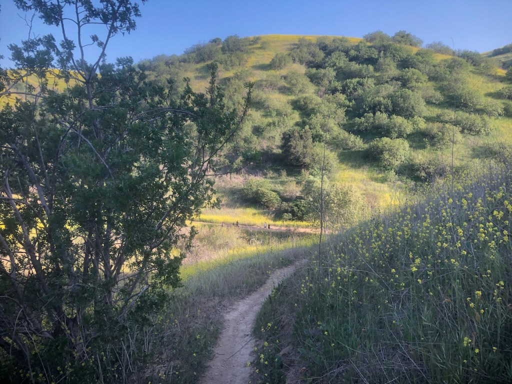
At first Gilman Peak Trail seemed ok, and not too overgrown, but things changed quickly.
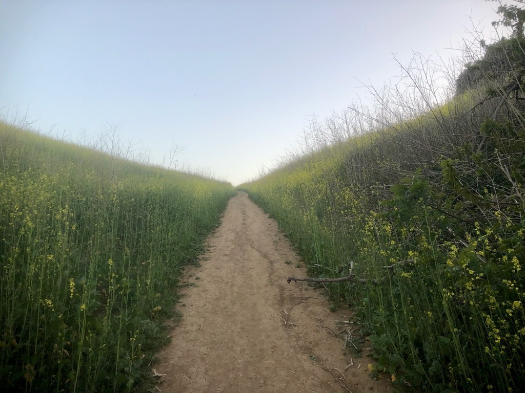
The mustard started to get thicker, and taller the higher I climbed. The light of the day was also starting to fade.
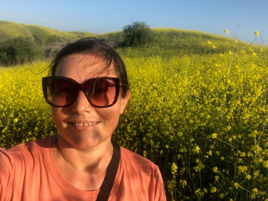
The mustard was now starting to be above my head. I thought it was so pretty. The natural beauty of all this was so enchanting. But that enchantment faded fast.
Beneath all these blooms, something deadly was lurking. Rattlesnakes.
I was about to find out, that wading through tall brush is a bad idea. Wading through brush on a springtime afternoon around 4 or 5pm, worse still.
A Near Death Experience
I would take no more pretty photos from this point forward.
I would instead have the scare of my life, about half-way up to Gilman Peak.
A Rattlesnake Encounter
As I walked in the brush, I suddenly hear the loudest hiss of my life, to my left, a mere foot from me. I became airborne, leaping forward down the trail, and was running for dear life. I had no idea if it would chase me, so I just kept going, until I reached a small clearing in the brush, where I collected myself.
My heart was pounding, from all the adrenaline.
How close was I to what sounded like a huge rattlesnake? I am guessing it had to be a nest, judging by snakes reaction, with its loud hiss, and tone.
If you want to hear what a startled Western Diamondback Rattlesnake sounds like click here, and skip to .47 seconds of the video.
A Worst Case Scenario
Had I been bit, and had to sit down in this area, it would have been the worst place ever. I had no phone service, and there was no one around. Nobody would have seen me in the tall mustard, or heard me scream. I probably would have died. I think I was maybe inches from that occurring. It was the scare of my life. I was so grateful to be alive. Life is precious, and I was glad I skirted disaster, for the moment.
But how would I get back? Were all the trails like this? I was actually scared. Going back the way I came was not an option. It was on to the peak. But I was somehow no longer excited. I just wanted to go home safely, that was all.
Gilman Peak
The smile on my face only somewhat hides the adrenaline that was pumping. I had hiked as fast as I could to the peak, was out of breath, and out of ideas.
No peak is worth risking life and limb. I would reflect on that, and be forced to change my view of nature exploring, from this point forward.
No Fear
Having no fear is generally a good thing. Being blind to potential hazards is not. I vowed do better research from this point on, educating myself more on where I was heading.
Just because I was in Orange County, did not mean there were not unique challenges about visiting Chino Hills. The season I visited, and the trail I chose, were not a good combo. Although it was supposed to only be 4.3 miles on the Gilman Peak Loop, I would have to find another way out, since going out and back was not an option.
The un-named trail the loop would have had me take back, was also overgrown, and out of the question.
The Fire Road
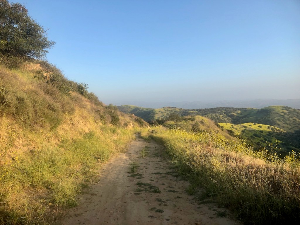
The saving grace was that Gilman Peak was along a ridge. Ridges in Orange County, and the Santa Ana Mountains nearby all have fire road along their ridges. Chino Hills has several of these. They are wide enough for vehicles, making it easier to spot snakes. There was still some brush on them. It takes very little for a snake to hide, especially a juvenile.
I found another route, the Gilman Peak Sycamore Loop, which I would not have chosen initially, since it was longer, and I started hiking close to dark.
The challenge was not over, even though I was ready for it to be. I still had some charge in my phone, though not a lot. I would really have to conserve on the way back. Taking a million pictures was not an option.
I would hike along the North Ridge, on to Sycamore Trail.
I hoped this trail was a main one, and not overgrown.
From my alltrails satellite view, it appeared it could work. Sycamore turned out to be just fine. It was all downhill, and I started jogging on back towards Telegraph Canyon Trail.
I was not in running shape, but getting there. I had started to run here and there recently. Now was the time to make up time, and trail run on back.
Satellite View
I will always check the satellite view before I go from now on. I can usually see what trails are wide, and which are barely visible with that option on alltrails. It might have helped me avoid that snake encounter had I examined the map closer.
This route along the North Ridge and down Sycamore Trail, would be a much longer route than I planned.

I was running out of light. I certainly did not want to be in an unfamiliar place, in the dark, with only the cougars to keep me company, without phone service. I managed to link back up with Telegraph Canyon Trail, and its shady oaks.
I made a left down the trail, and was on the look out for a left on Little Canyon Trail, which I would take to the South Ridge Trail, to loop back to the trailhead.
This was the last big climb of the day on Little Canyon. I was a bit too exhausted for it, but was determined to not be stuck out here in the dark, due to my poor planning, and decision making. You live and you learn.
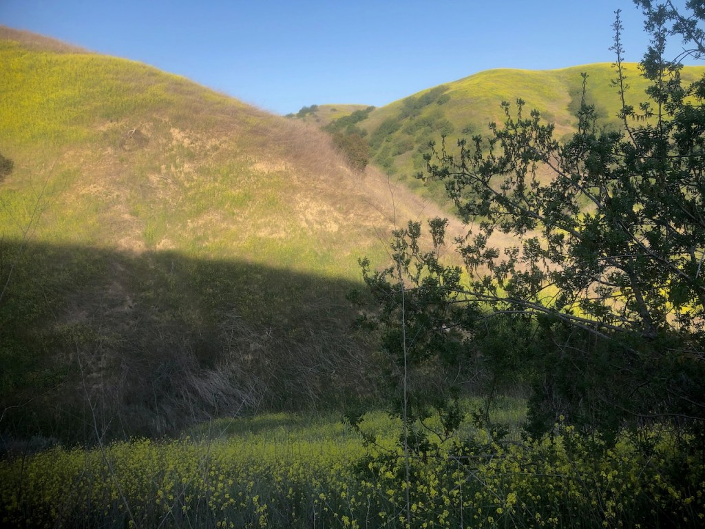
I hiked on along the South Ridge at sunset, gazing back towards Gilman, which could have been the most fateful peak, in my peak bagging resume. Fortunately I was back at Rimcrest Drive, and could look forward to getting home.
If you are wanting to visit Gilman Peak, I would recommend taking the East Ridge from Rimcrest Dr., down Little Canyon, to Telegraph Canyon, up Sycamore, and then left along the North Ridge to Gilman Peak. Then I would go back the way I came. This would be 8 miles. I feel this is the best option for hiking to Gilman Peak in any season. I would not do the loop trail again, or the single track trails here.
The whole experience made me feel very irresponsible. But I guess our struggles are what mold us into even better people.
I hope you enjoyed reading this, and it is helpful in knowing what to expect, should you decide to visit here. Don’t let the pretty wildflowers fool you. This is no enchanted wonderland and it’s definitely not Disneyland. This place it wild!
Update: I have since returned to Chino Hills many times, and used better judgement. I love this park, you just have to know how to enjoy it safely is all.
About me
I’m Serafina! I’m a writer and California girl who loves to go exploring. Hope you will get outside today, breathe some fresh air, and be happy!
Follow my Journey…
Be sure to Like and Subscribe to My Youtube Channel where I post videos!
Disclaimer: The work on this blog is my opinion and my opinion alone and I am not responsible for the outcome if someone were to apply these thoughts to their own life. All text and photography copyright 2023 by Serafina, all rights reserved. Information and opinions provided are kept current to the best of the author’s ability. All readers’ usage of the ideas and opinions presented in the blog, are at their own risk. Be aware of the possible dangers of hiking, surfing, walking, cooking, and other activities, which may take place indoors or outdoors. By reading this, you agree not to hold the author or publisher of the content on this web site responsible for any injuries or inconveniences that may result from reading the blog, or partaking in any activity mentioned in the blog. Read the blog, and use its ideas, if you so desire, at your own risk.
