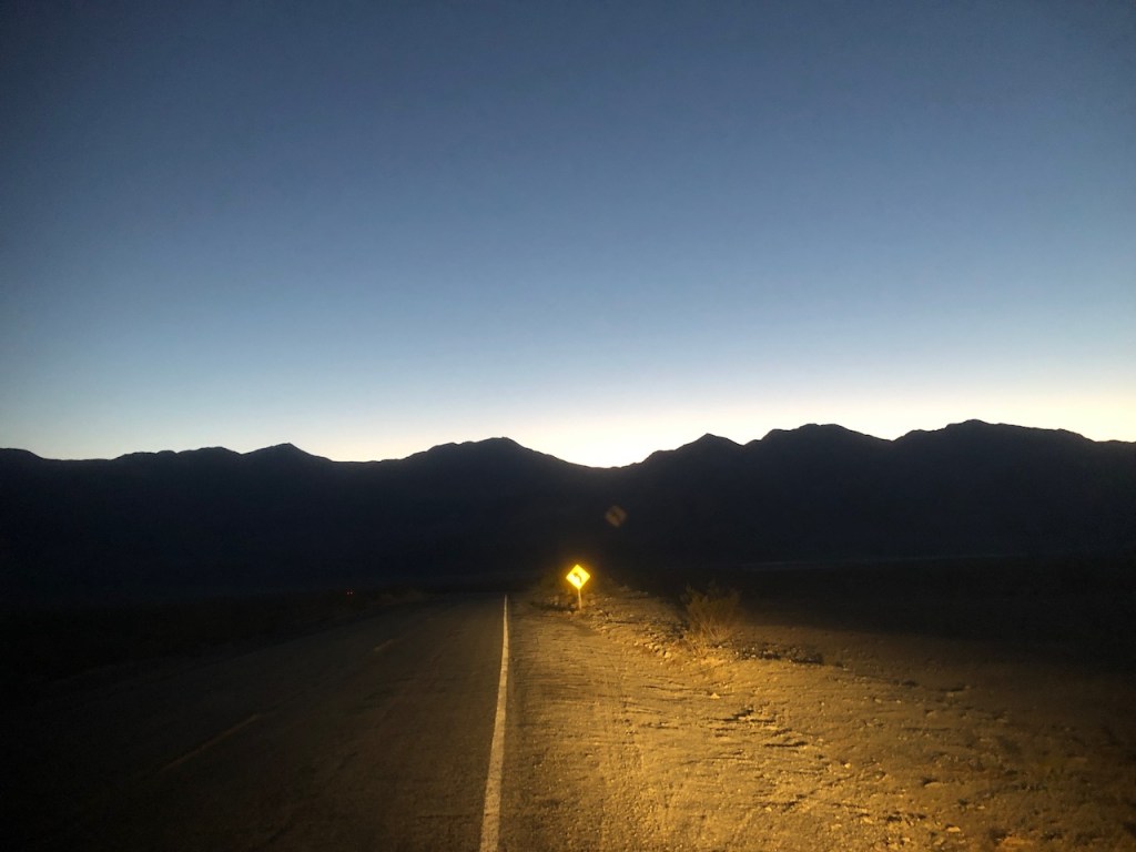
I drove out to Death Valley, staying overnight car camping on the way there. I wished I had left a bit earlier in the evening. I stayed in Ridgecrest and it was about 30 degrees at night. I was much too cold to sleep in my car. After tossing and turning for hours, I decided to start driving into Death Valley.
It’s kind of strange to want to go to a place called Death Valley. Of all the things it could be named. You imagine a place devoid of life, where all who enter, don’t make it out. So why does it draw so many visitors every year then?
I had seen photos of painted slot canyons, sand dunes, and of course Badwater, the lowest point in the United States. Even Star Wars was filmed here. I was about to find out that Death Valley is very much alive, and a wonderful place to explore, at least when it’s not 120 degrees out.
As I drove around Ridgecrest, I was able to find a gas station open at 4am with fresh coffee. Afterward, with the heater comfortably blasting I coasted down a dark two lane highway. I drove through the Searles Valley, past glowing factories and mining operations along Trona Rd. The area is known for its large borate deposits, used to make Borax, among other things.
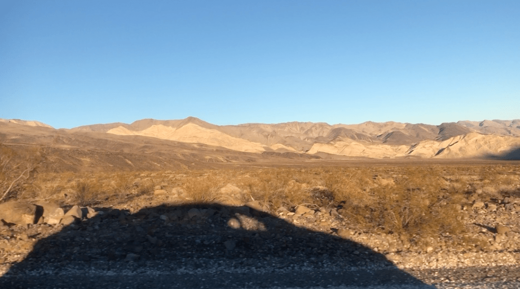
On my left was the Argus Mountain Wilderness area. On my right was Surprise Canyon, Manly Peak, Sentinel Peak, Wildrose Peak, and Telescope Peak. A few ghost towns exist in these hills, or what remains of them. Visiting Panamint City requires an overnight backpacking trip. The remnants of the town of Skidoo, can be seen via high clearance vehicle, down an unpaved road. The town of Rhyolite is also nearby, named for its silica rich rock, where miners made thousands of claims, in its heyday.
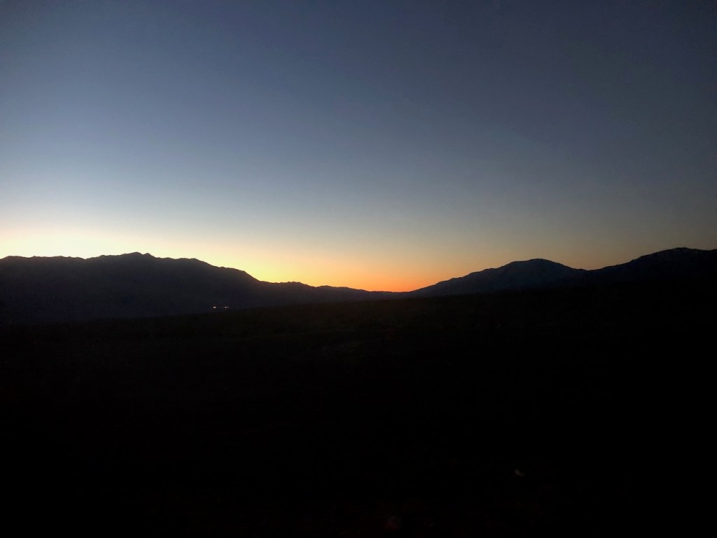
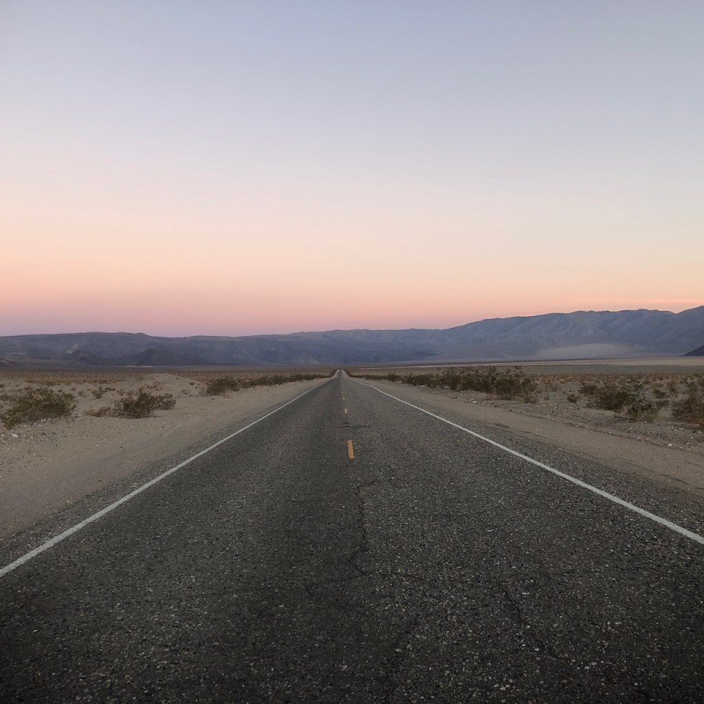
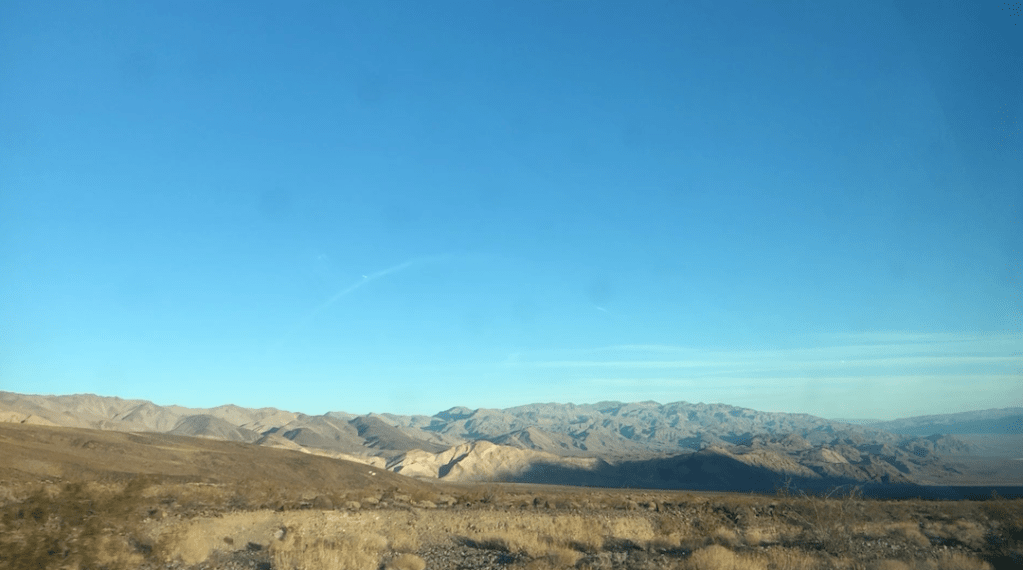
I could finally glimpse the outline of the mountains of Death Valley at first light. Otherwise there was total and complete darkness around me, not even another headlight to speak of.
This was my first trip to Death Valley though. I would start with places I could access via a parking lot. I was driving a minivan after all. I had planned to stay one day here, and then head back home. I did not have endless time to be away from home, and this was a short, last minute adventure.
As the sun rose, the mountains became tinted in many shades of pink.

I was in the wilderness, on an adventure of my own making, doing something that was on my heart to do for a long time. I did not know what I would find here in Death Valley. It was all a mystery what draws people to places like this. But here I was, ready to find out what it really is about Death Valley, that is so special.

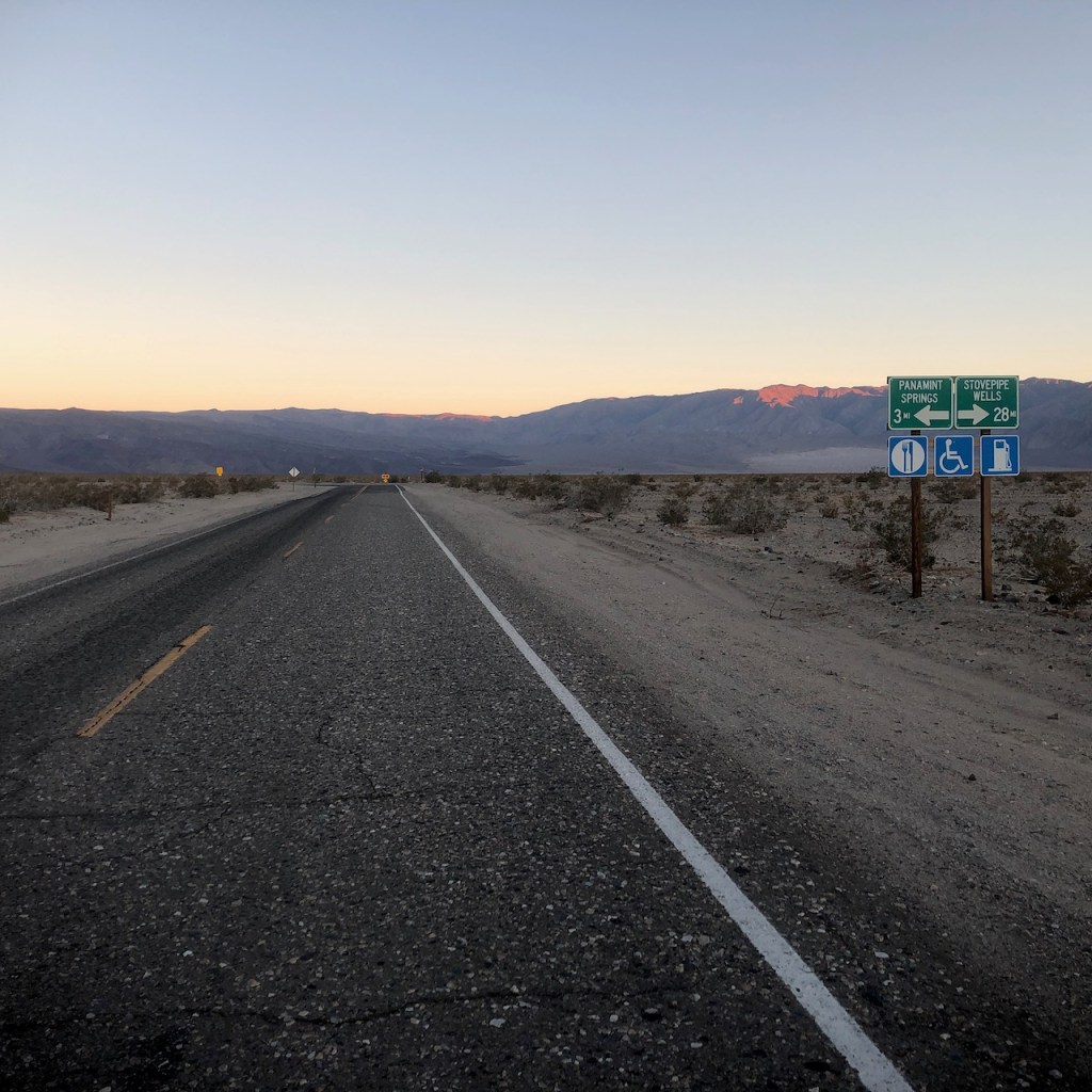
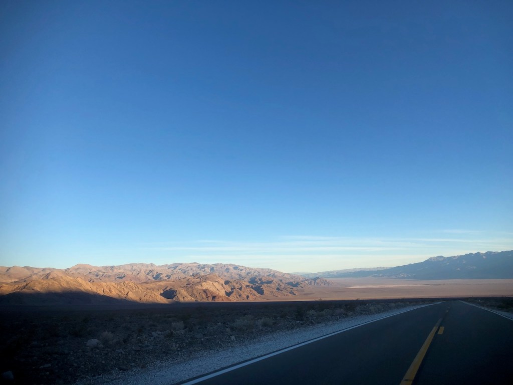
I make a right onto Highway 120 towards Stovepipe Wells.
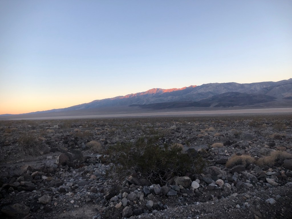
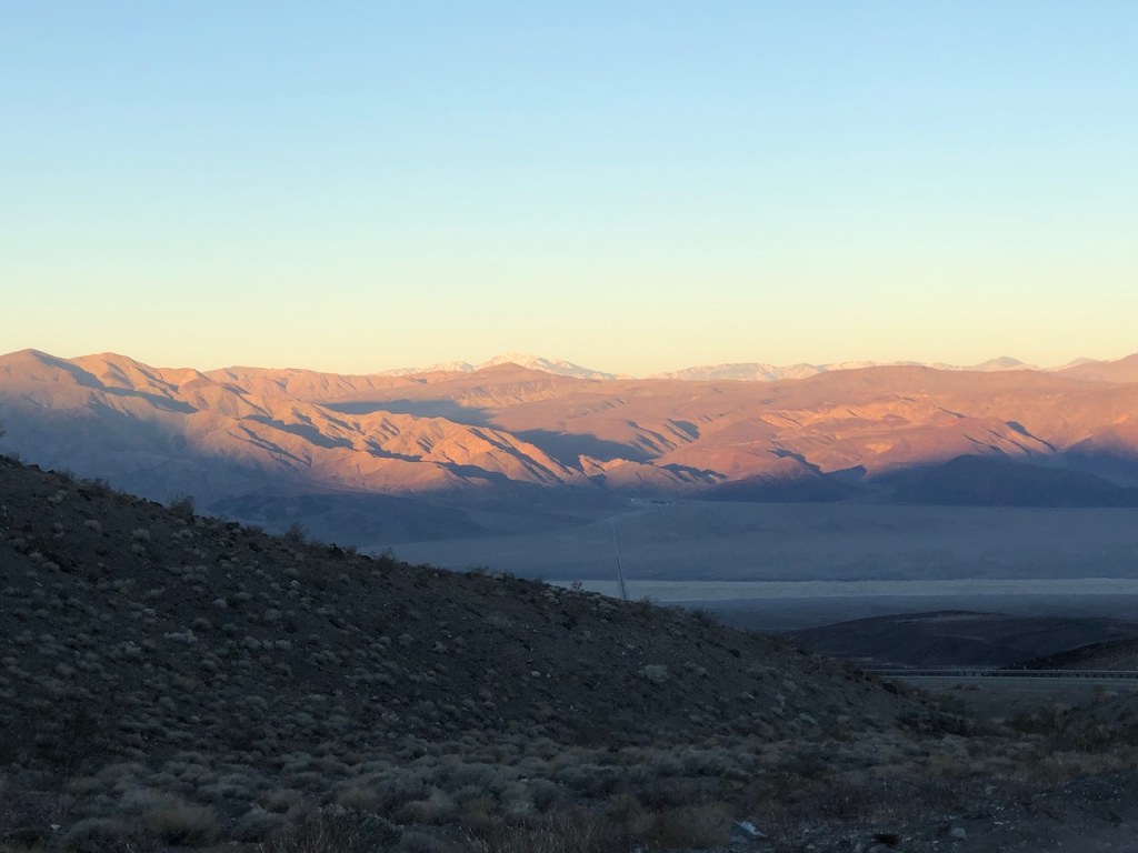
The mountains eventually turn crimson, as I climbed over the pass. I stopped for a moment to take it all in. I glanced off toward the sierras and Mount Whitney. Somehow being alone on this winding desert road made me feel like I was home.

The first thing I notice coasting down towards the valley, is that it is vast, wide, and empty.
I pass by the Emigrant Campground, which is first come first served, and free. There are restrooms and remnants of an old ranger station there. You can check out pictures of the campground here. It was my original destination. It’s tiny parking lot looks full, so chances are, I would have not gotten a spot.
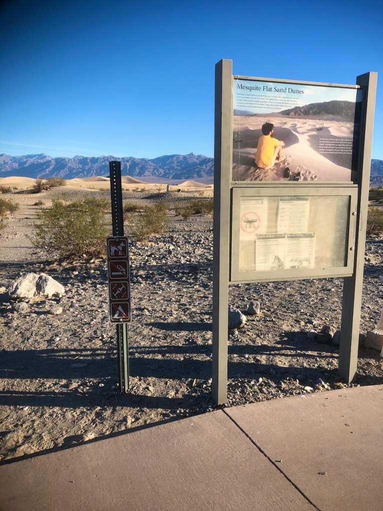
Stovepipe Wells
My next stop is the gas station in Stovepipe Wells, named for the historic stovepipes which covered water holes in the valley. They were the only source of water for miners in area ghost towns. The landmark is unfortunately now closed, and located far from the road, on past the sand dunes.
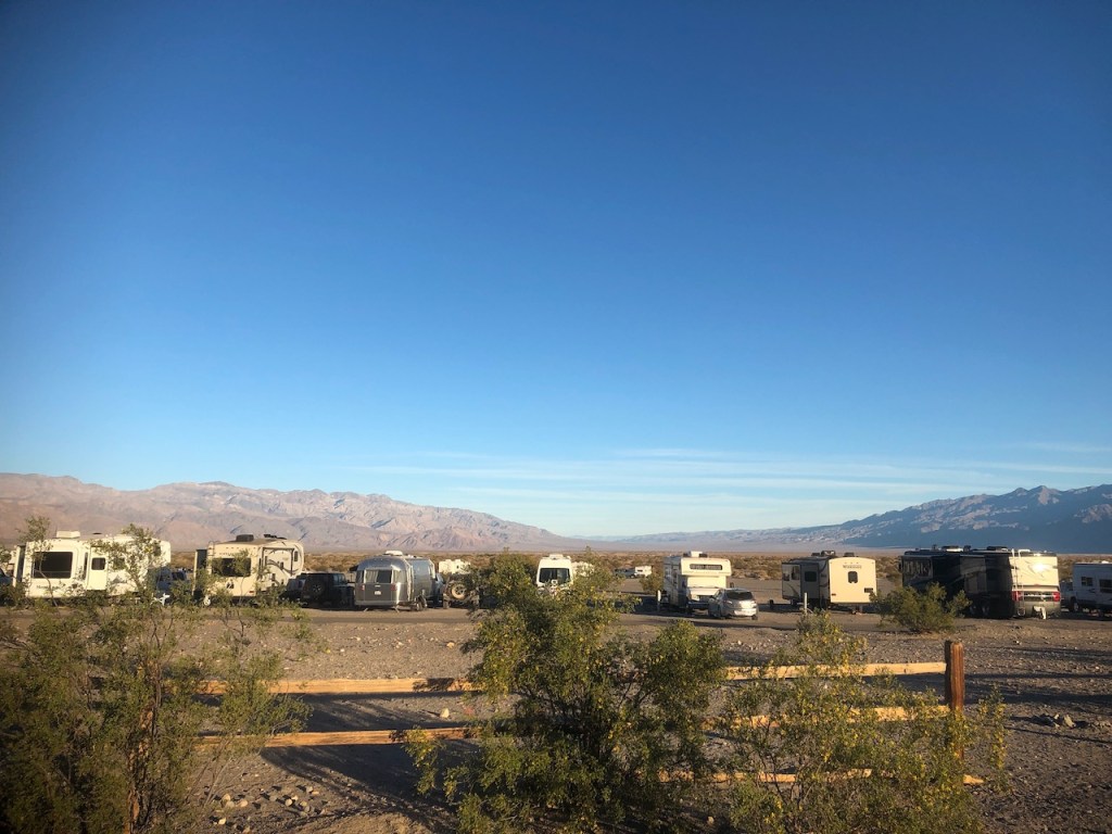
There is a campground for RV’s, some hotels, and a store here in Stovepipe Wells. The gas here was not cheap here, but was needed, so I filled up. Mosaic Canyon and Grotto Canyon Trails are nearby, in the hills off to the right. I would continue down Highway 190 to my first stop, Mesquite Flat Sand Dunes, which would be on the left.
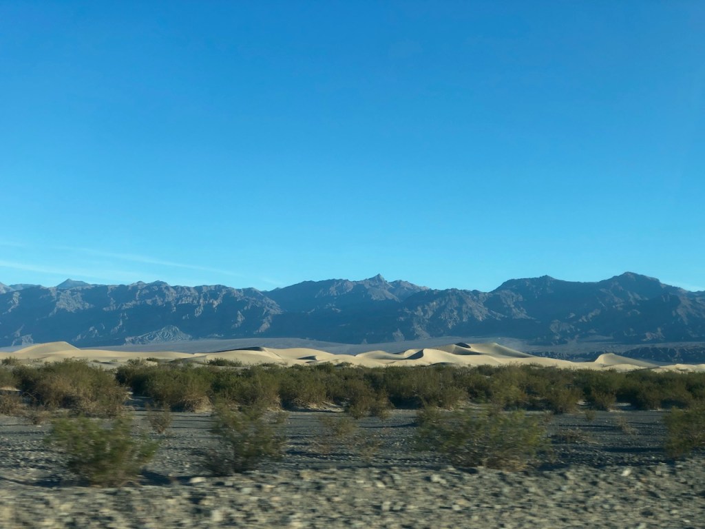
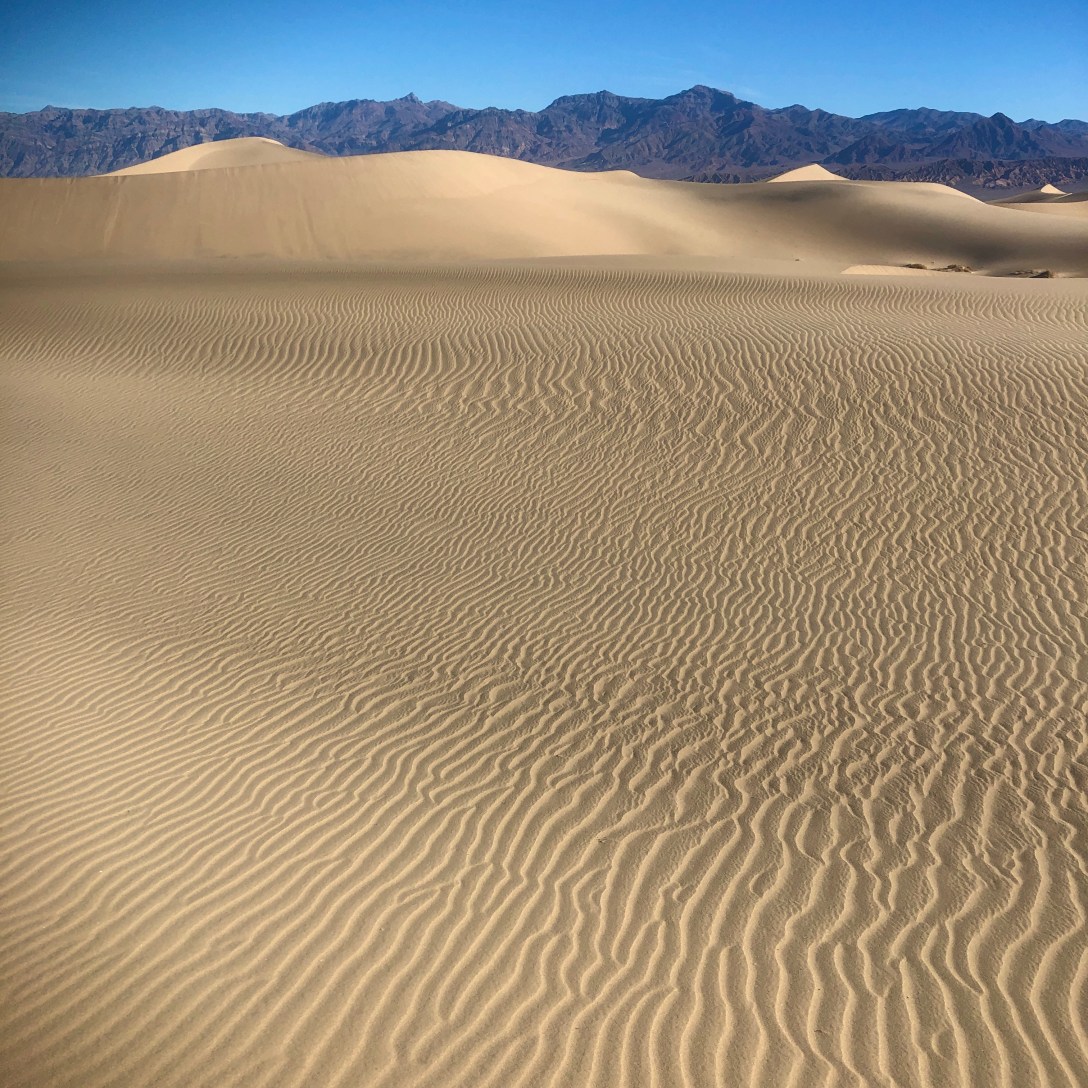
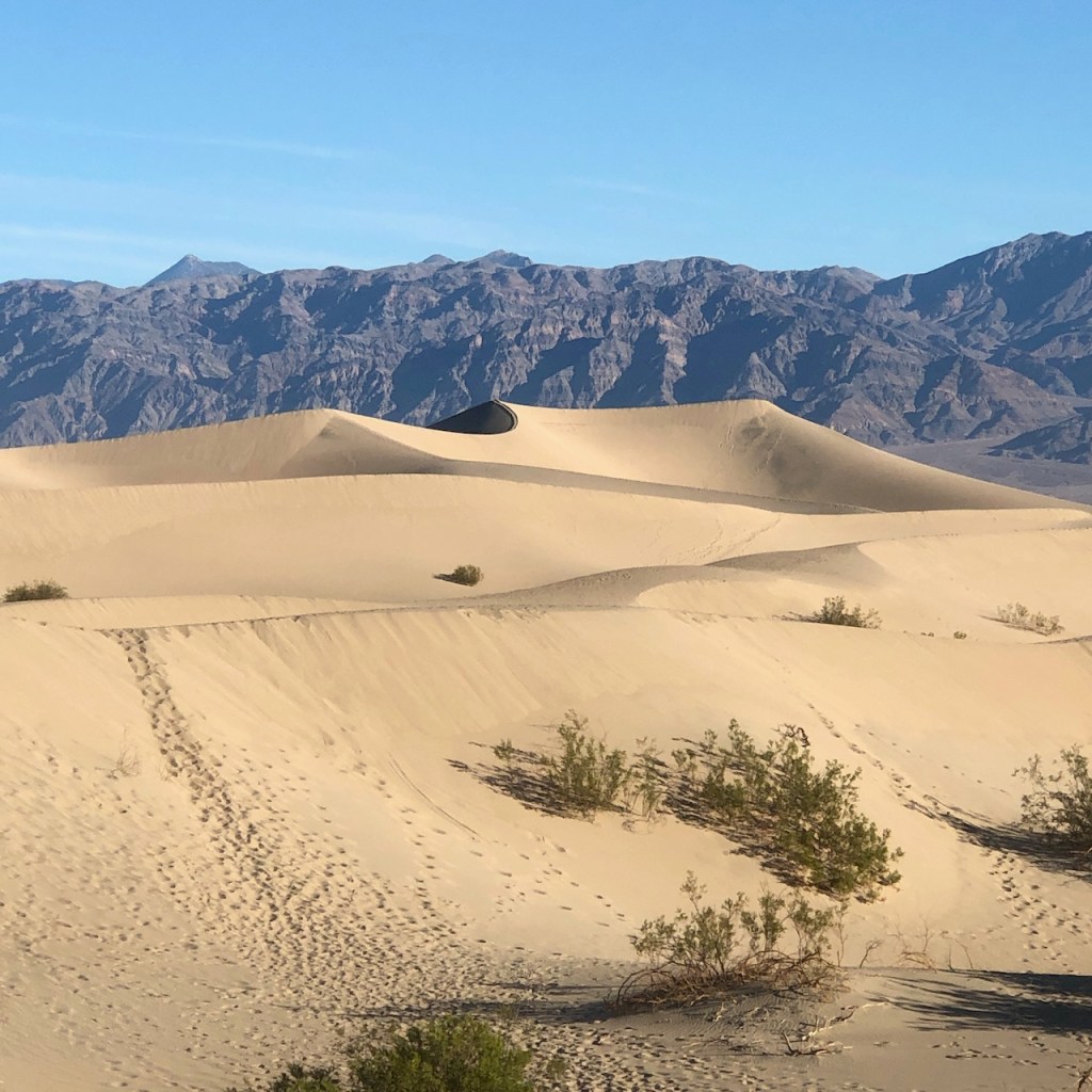
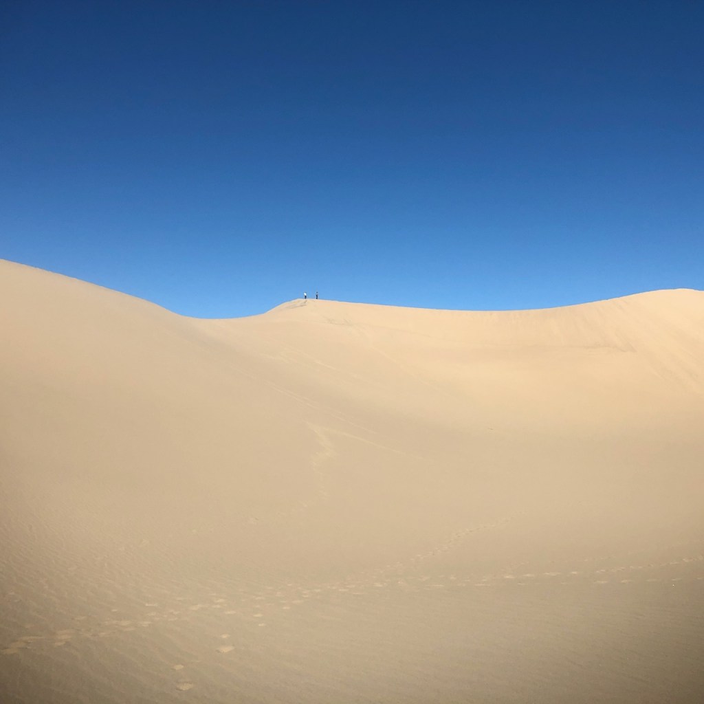
As I approached the dunes, I could see off in the distance a very large dune, several hundred feet high, shaped like a pyramid.

It seemed to be several miles from the road. I sort of had made up my mind, I had to get there, and have a closer look. I had never seen anything like it before.
The parking lot was not full yet at 6:30am, when I arrived. The sun was up, and I knew it was going to warm up fast here in the valley to the mid 70’s. That is a cool day here in the desert. It rarely is this hospitable for long.

So off I went through the dunes.
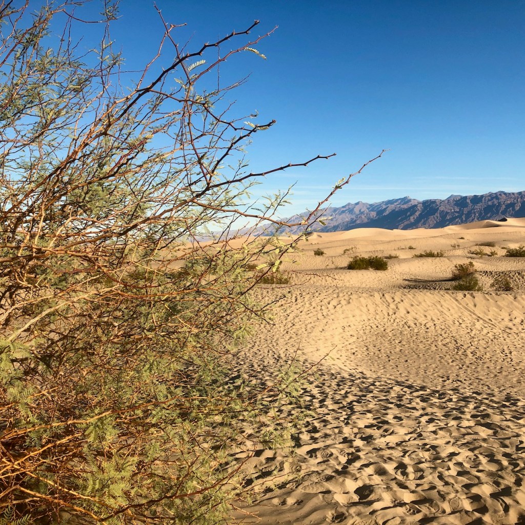
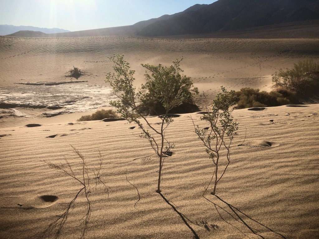
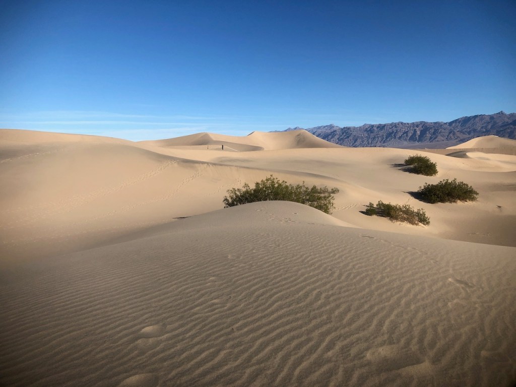
I passed some hardy cottonwood trees.

There were colorful yellow creosote trees in bloom.
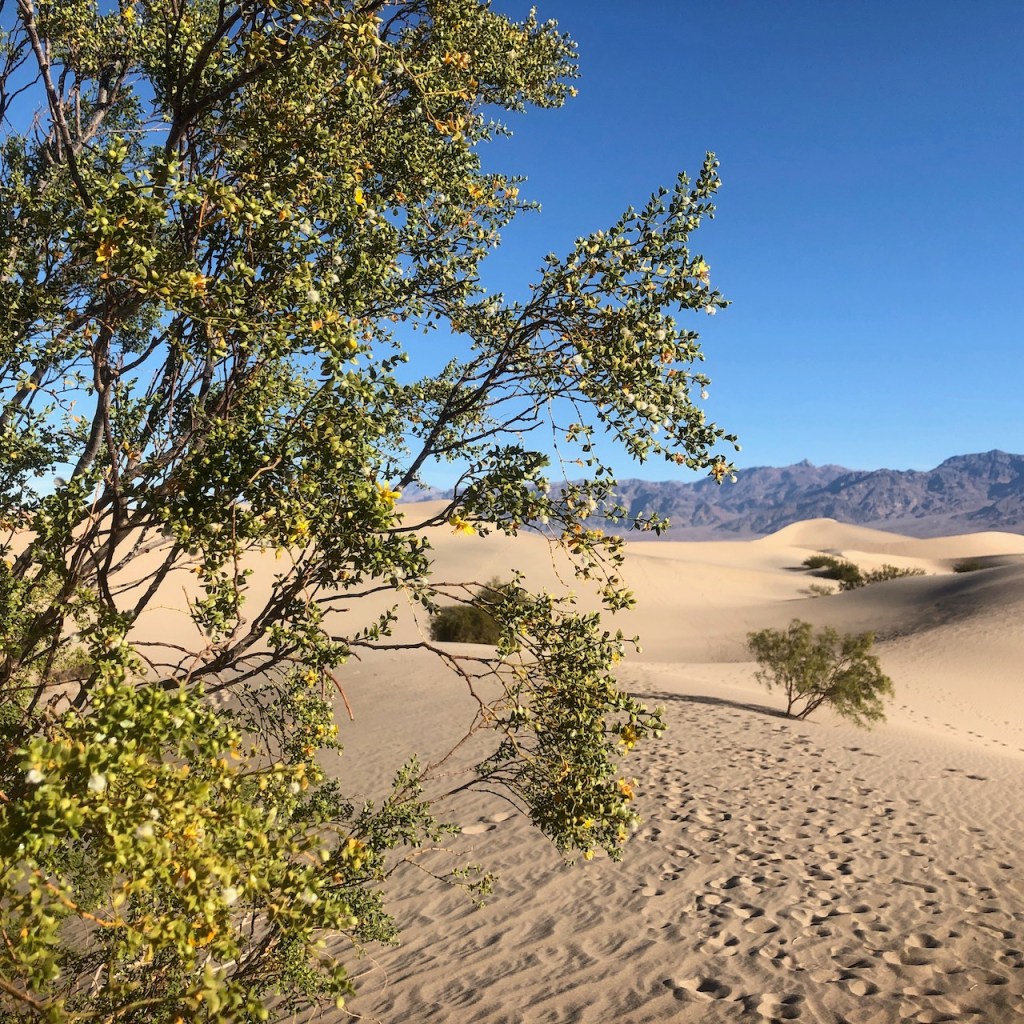
Bees were enjoying their tiny blossoms.

The only thing that survives here are trees with long roots which can tap the water table deep down in the ground. A cottonwood tree’s roots can dive hundreds of feet even. That is the kind of adaptation that is required to survive in a place like this.
The native Shoshone tribe survived here, hunting rabbits in spring, and gathering native plants, before heading to the high peaks above, for the summertime to stay cool, where they found running water. It’s a delicate balance here. It’s a place where people have survived, and thrived. You just have to know how.
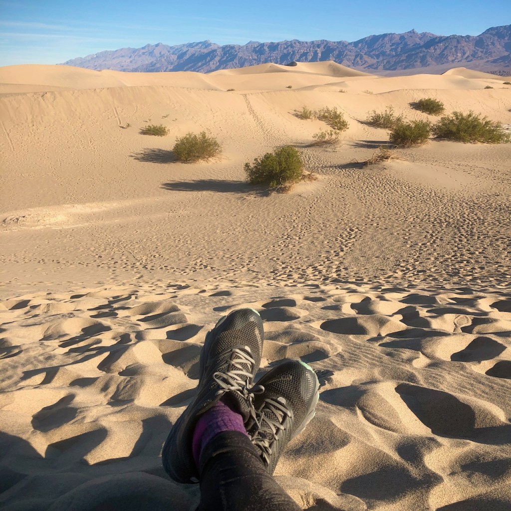
The sand dunes were calling me.
I had heard stories of tragedies involving sand.

I knew you have to be careful when treading on such unstable ground.
Were they to somehow collapse, it could be sudden death.
There is no way to escape that kind of situation.

Quicksand and dune collapses are both tough to escape, since as you dig, the sand or mud will simply fill the hole you dug instantly.
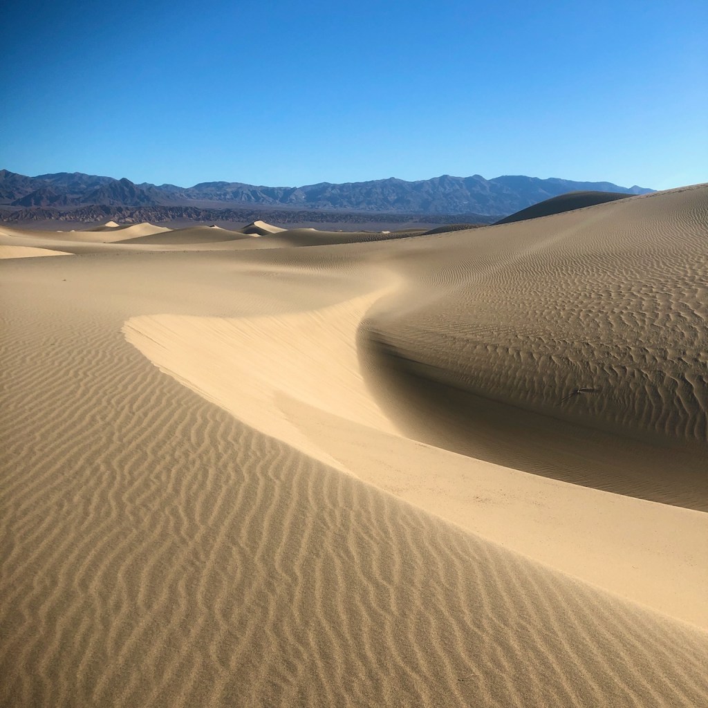
So I stayed on the ridge lines of the dunes, and avoided walking down where it was steep. In spite of all this, I still caused my share of mini-avalanches.
In the distance, a child was apparently sliding on a dune with their parents close by, who were not doing anything about it. I wondered if they knew what I knew about all this.

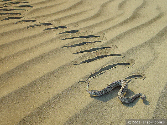
It’s funny how you can visit a place and be oblivious to dangers that might be obvious to others. When I visited these dunes, I did not know the whole story of how snakes bury themselves in the sand here under the bushes, or about sidewinders yet. But I found out after the fact. Be be careful where you walk, or sit when on the dunes. I saw plenty of trails left by snakes, so I knew they were there, just underneath the sand. I somehow did not photograph any this time, but here is what they look like, the trail of a sidewinder, native to this area.
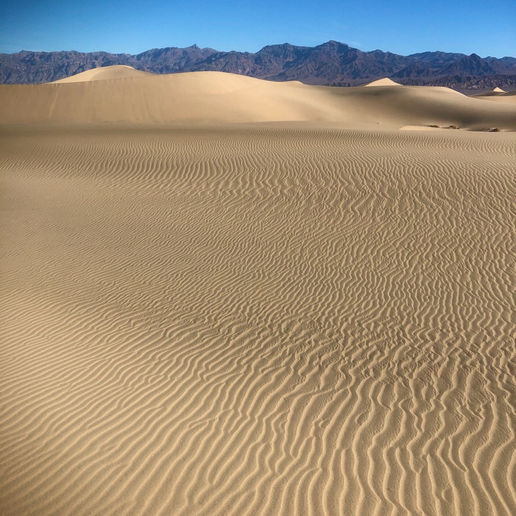
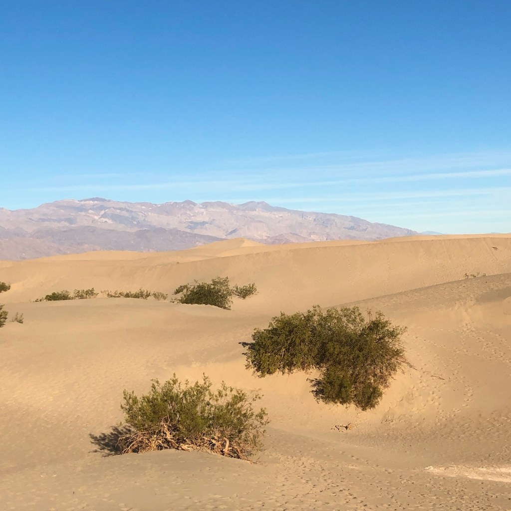
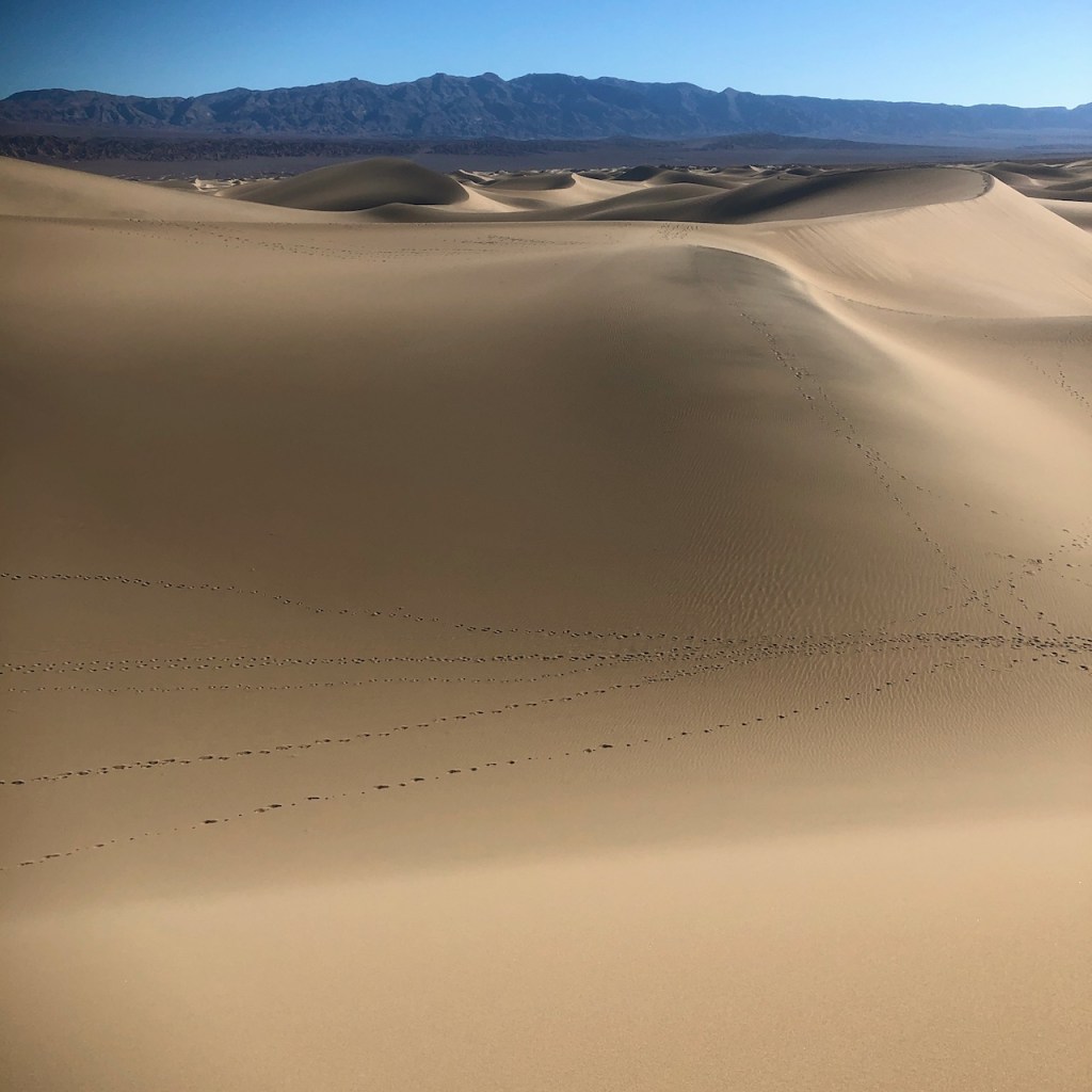
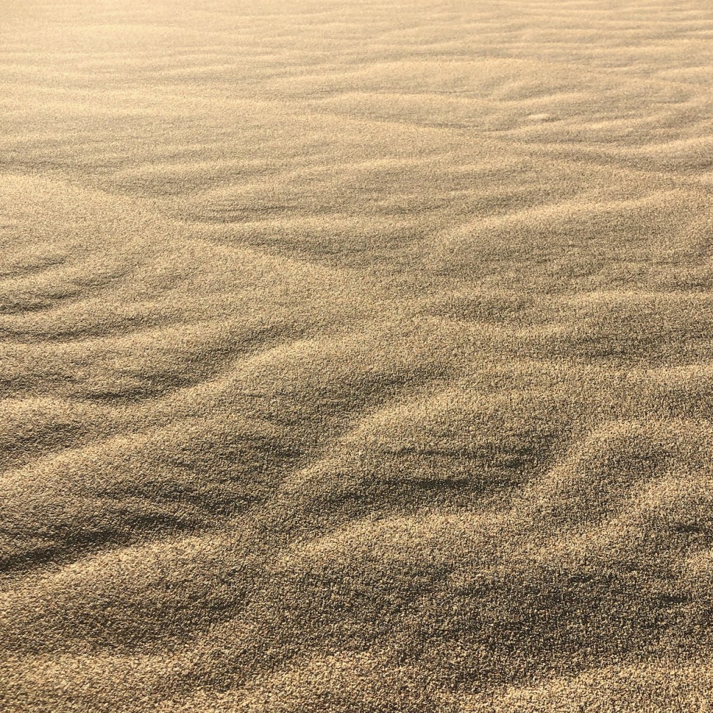
It was so peaceful walking on these dunes in winter, and like no other place I have ever experienced.
It’s rare the view is every this simple. It felt very zen, just sand and sky.
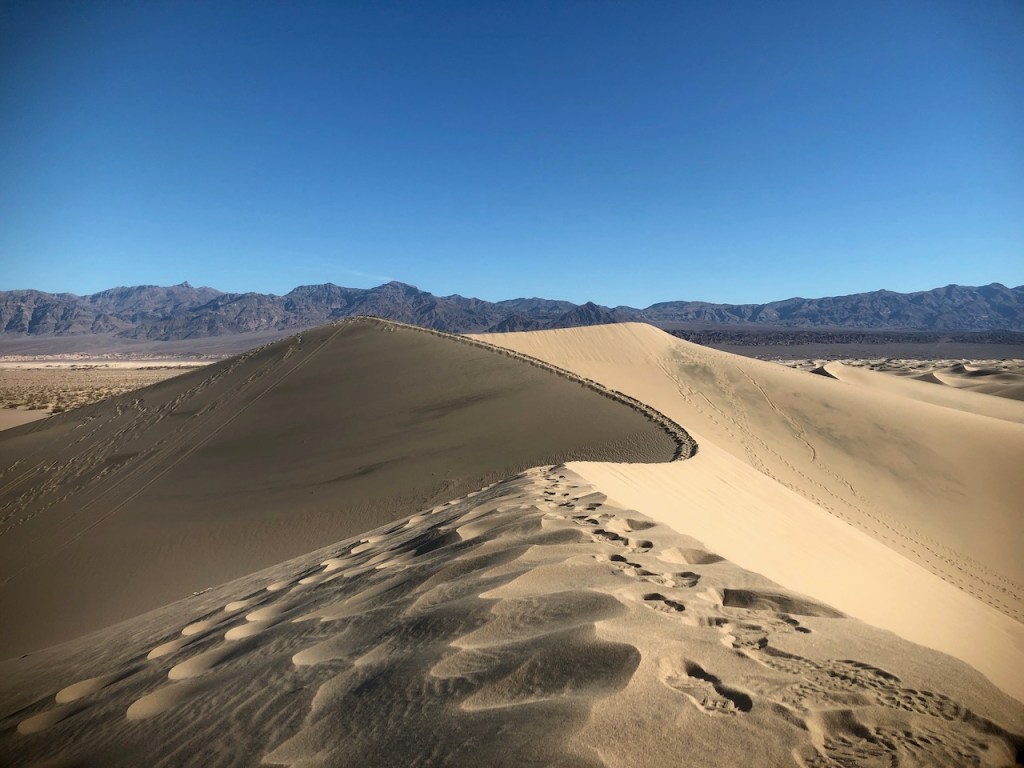
Dunes are temporary mountain ranges.
Feel free to name the peak you reach like the old explorers did, but don’t expect it to be there tomorrow, your fame will be short lived.
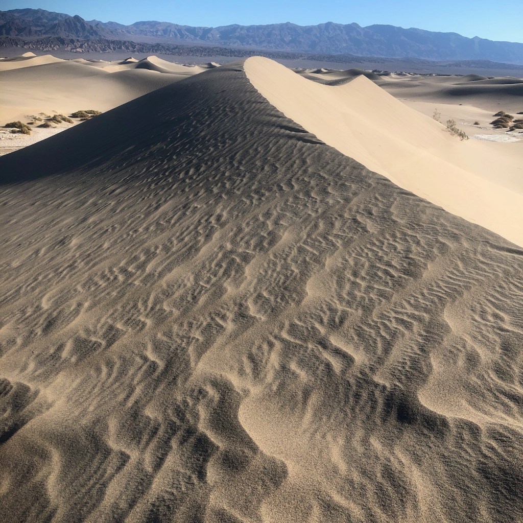
I took a break at the top amongst the waves, of sand. It was so peaceful here.
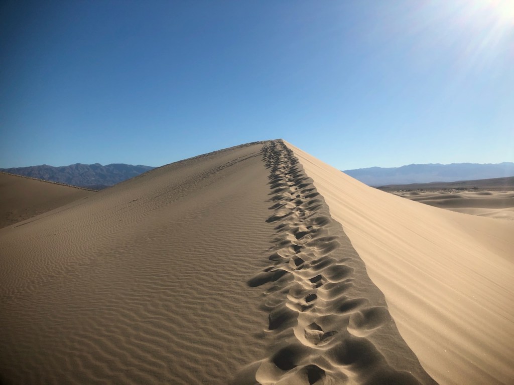
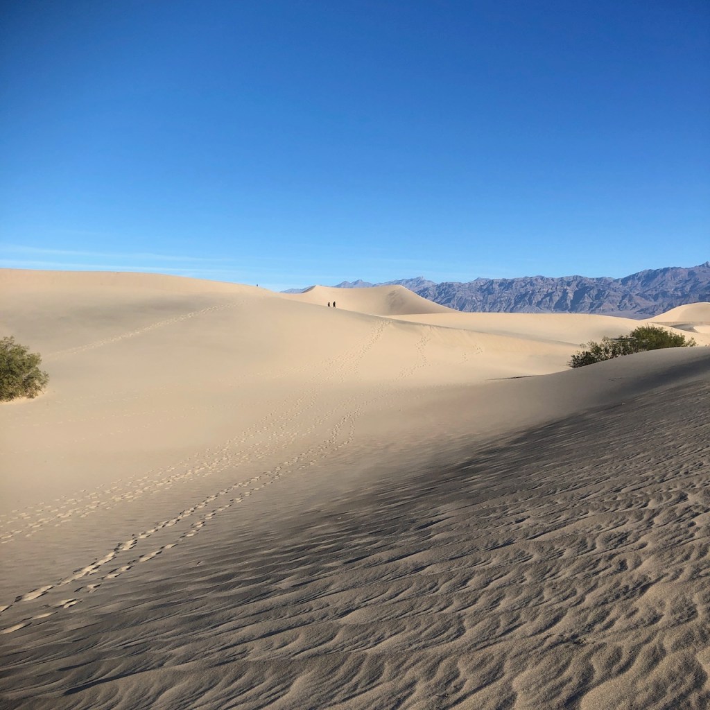
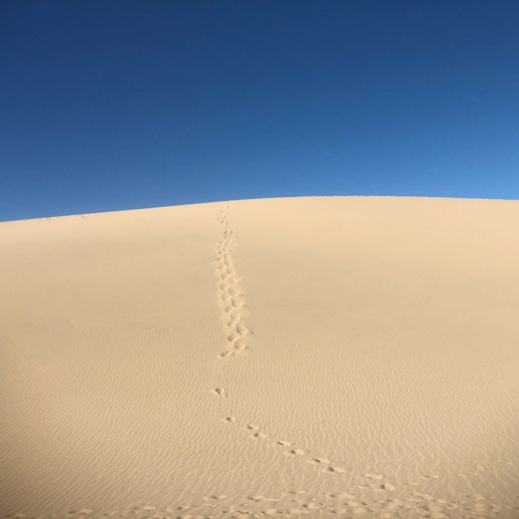
I made my way to the ridge of the tallest dune.
I felt on top of the world.
“It does not matter how tall the mountain you wish to climb, what matters is your perseverance in getting there, and following through with what you set out to do.”
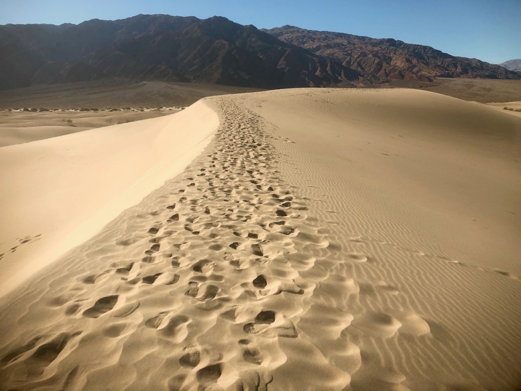
I explored these dunes for a few hours. I had traveled about 3 miles, and it would be another 3 miles back to my car.
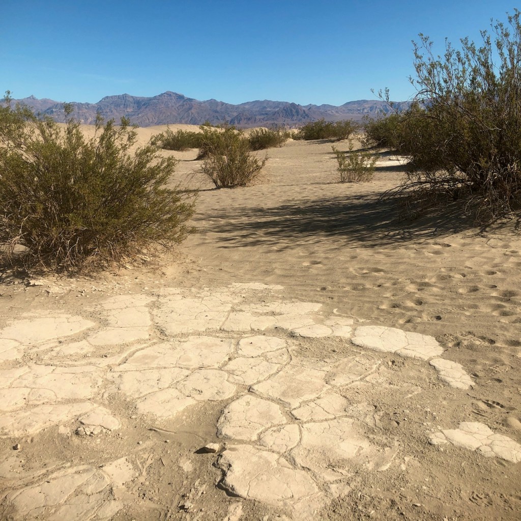
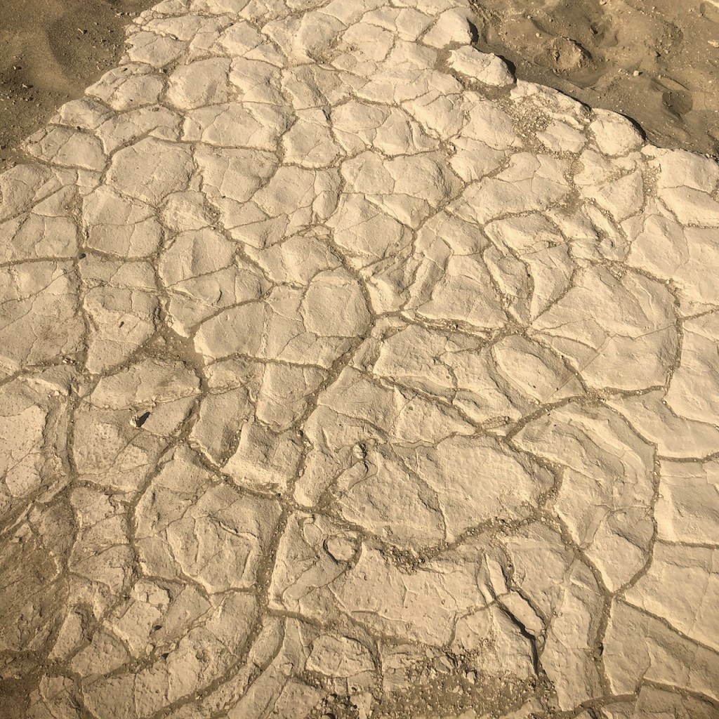
Salt Flats
These are natural salt flats, that can be found throughout the desert here, the most famous being in the basin at Badwater.
The alltrails map for Mesquite Flat Dunes states that the hike here is 2.8 miles, but it can be as long or as short as you want to make it.
Backtracking
I had decided to hike in a loop, back along a different route, to make it a bit more interesting. This proved to involve backtracking since I kept hitting a dead end, where the dune did not look safe, and I would turn around. But I eventually made it back just fine.

Just keep in mind, there is no trail here. There are only the footsteps of the hikers before you and your downloaded map. Footsteps easily get lost here, in the sands of time.
Stay Hydrated
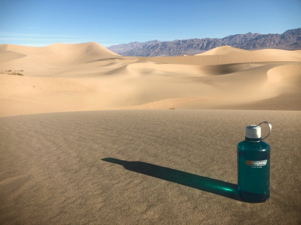
Definitely bring plenty of water if you go. If its above 70, you may want at least a 1/2 liter per hour of hiking. It was still cool out, and I drank most of this liter on my 6 mile hike.
There was much more to see here in Death Valley. So I bid the sand dunes adieu.
About me
I’m Serafina! I’m a writer and California girl who loves to go exploring. Hope you will get outside today, breathe some fresh air, and be happy!
Follow my Journey…
Be sure to Like and Subscribe to My Youtube Channel where I post videos!
Disclaimer: The work on this blog is my opinion and my opinion alone and I am not responsible for the outcome if someone were to apply these thoughts to their own life. All text and photography copyright 2021 by Serafina, all rights reserved. Information and opinions provided are kept current to the best of the author’s ability. All readers’ usage of the ideas and opinions presented in the blog, are at their own risk. Be aware of the possible dangers of hiking, surfing, walking, cooking, and other activities, which may take place indoors or outdoors. By reading this, you agree not to hold the author or publisher of the content on this web site responsible for any injuries or inconveniences that may result from reading the blog, or partaking in any activity mentioned in the blog. Read the blog, and use its ideas, if you so desire, at your own risk.
