
The Trip Begins
The journey to Cucamonga Peak began by driving an hour and half from my home in Orange County, before heading up Baldy Rd. This road is a twisting gateway to many high peaks in the Angeles National Forest. I passed through an interesting tunnel through a mountain, on the way up, before reaching quaint Mount Baldy Village. Along the way there were several scenic viewpoints, to pull off along the way.
An Early Start
I was planning to start my hike around 5am, at the Icehouse Canyon trailhead. I was concerned about getting there much later, since I might not find parking. When I arrived, the lot was only half filled, and I breathed a sign of relief, having come this far.
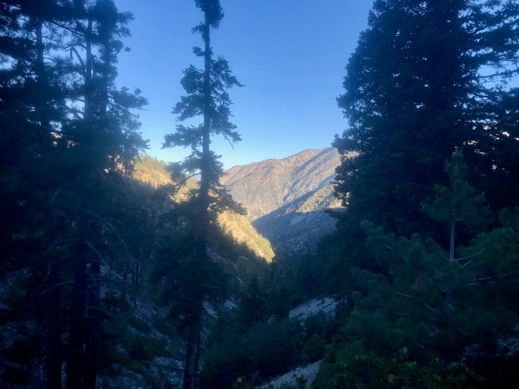
The Twilight Hour
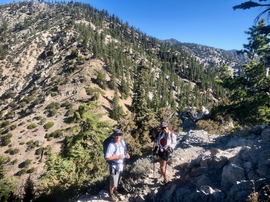
It was near dawn, as I gathered my gear, and scouted the parking area for Bruce and his wife Keren. We had never hiked together, in the mountains before, and today we planned to hike up to Cucamonga Peak.
I had this peak my mind for sometime. I wanted to climb all the high peaks in the Angeles National Forest, since climbing my first high peak here, Mount Baden Powell. This one would be a new challenge, and an adventure.
What to Bring
I had decided to bring winter gear just in case, since I had heard it can get chilly at the peak, even during the warm months of the year.
I had decided to bring 4 liters of water, erring on the side of overpreparedness. I also had a Garmin In Reach, an essential for a solo hike in the National Forest, but not necessarily needed on a highly trafficked trail, with a group.
I also brought plenty of healthy snacks, such as carrot sticks, apples, a dairy free and gluten free veggie sandwich, popcorn, a pro bar, and dried fruit bars, the usual things I bring on long day hikes.
I am always sure to pack in electrolytes, along with a mix of sweet, and salty foods, to prevent dehydration. We get dehydrated when we sweat out salts in our skin, and don’t replenish them, and not just for lack of water.
After a trip to the pit toilets, and signing the trail register, it was off into Icehouse Canyon.
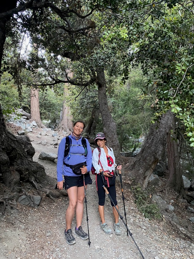
Here we are near the trailhead, about to start our hike up the wooded canyon.
I was in the process of getting divorced, and was a ball of emotions, frequently crying, or on the verge of doing so. Sometimes the times of greatest change make you stronger.
I had recently began joining group hikes to meet new faces, which was where I met Keren.
I had mostly been hiking solo up until this point, and was now just starting to have hiking buddies.
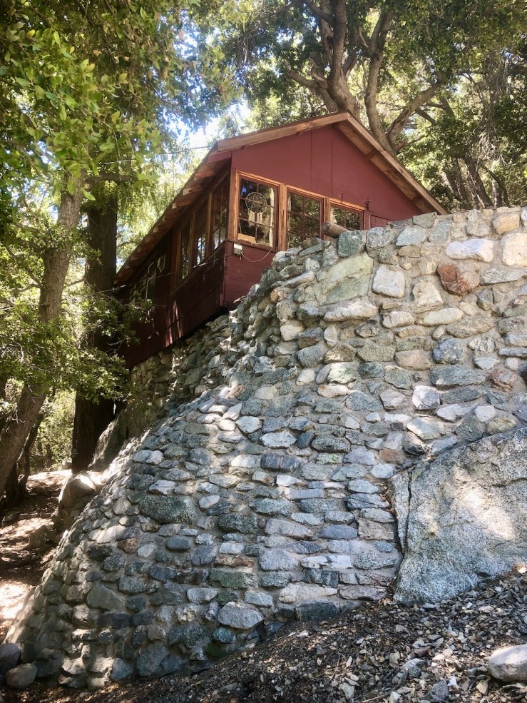
I soon began to spot forest service cabins along the way in various conditions, some looking lived in, and others in a state of arrested decay.
These forest service cabins are on leased land, and the owners own the cabins, but not the land they sit upon. They are purely for recreational purposes.
These cabins get passed down in families. What remains of some are nothing more than piles of rock, or a chimney.
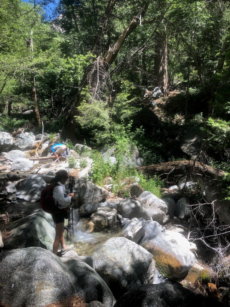
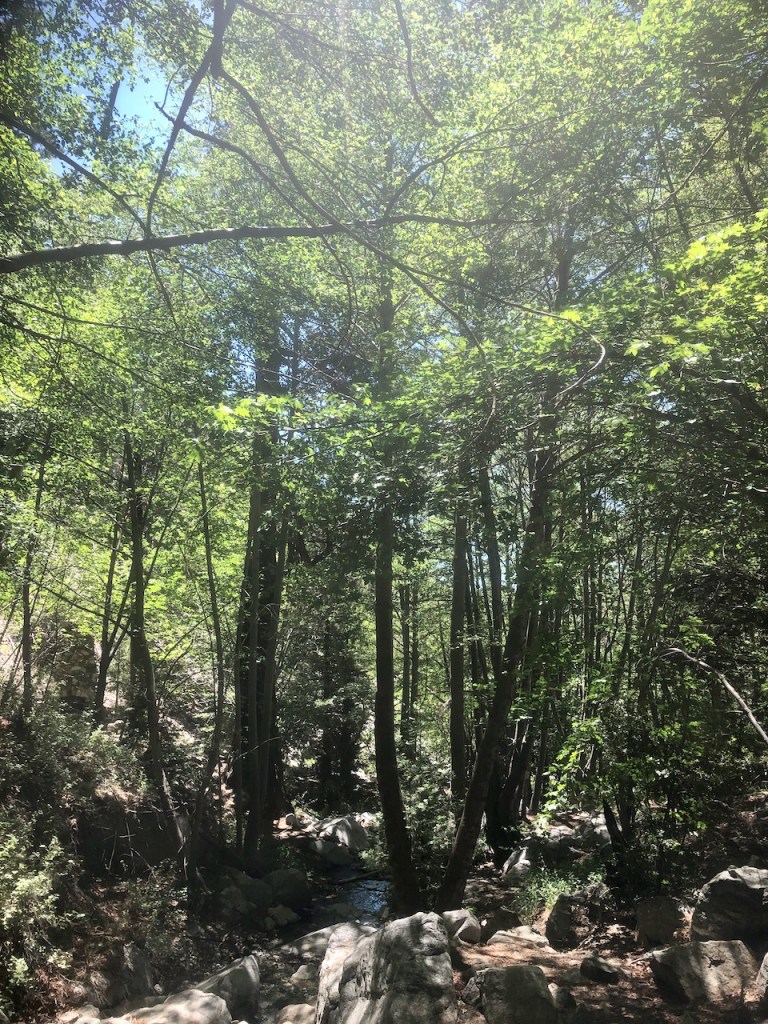
There is a creek running through Icehouse Canyon. There were lots of beautiful cascading waterfalls here. People were filling their bottles up at a spring, further on up the trail.
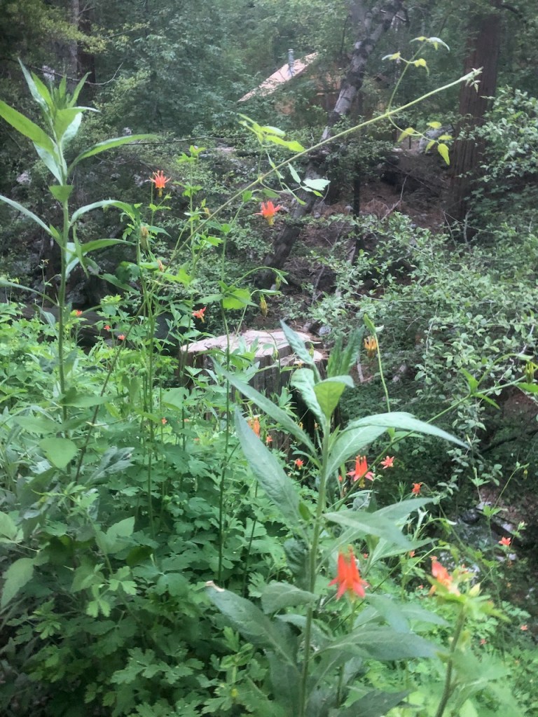
There are beautiful wildflowers in bloom right now, such as these crimson columbines.
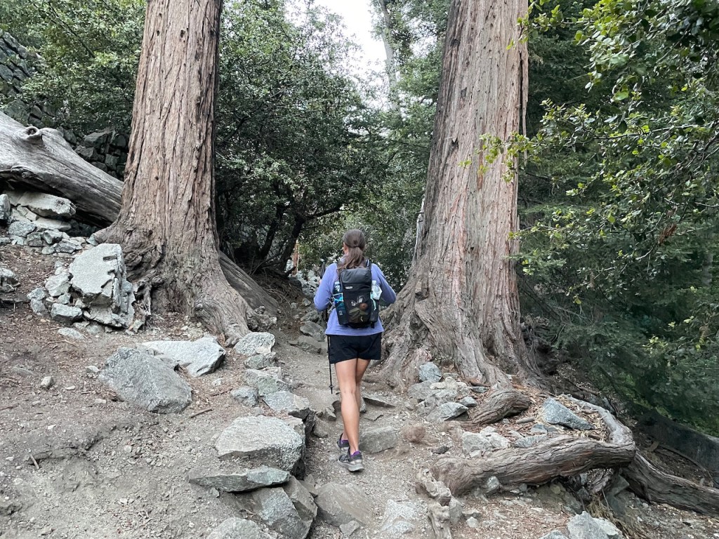
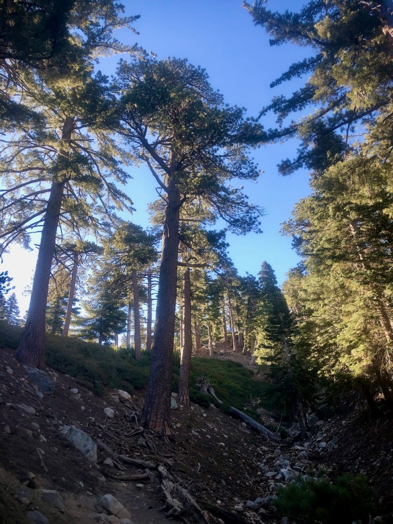
We proceeded through the forest of oaks, cedars, pines, and sycamores. Off to my left I spot a steep boulder field, before reaching the turnoff for Chapman Trail, and Cedar Glen trails, leading to a backpacker campground. But I hiked on, toward the switchbacks leading to Icehouse Saddle.
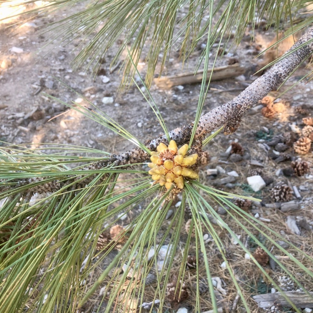
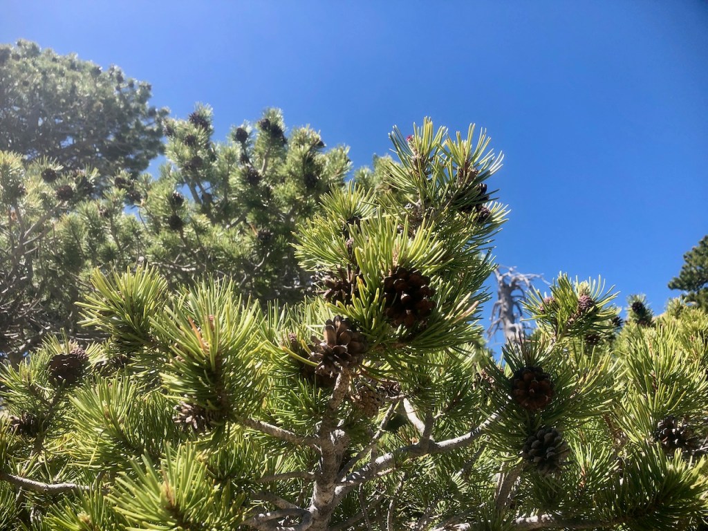
There are several different kinds of pines in this forested wilderness area. Here is an immature pine cone just starting to form on this white pine.
The trail is very busy on this particular morning. We get passed numerous times by hikers who are not just taking their time.
About two miles in, I reach the switchbacks, and the trail begins to really climb. The sun is coming up and it begins to warm up a bit.
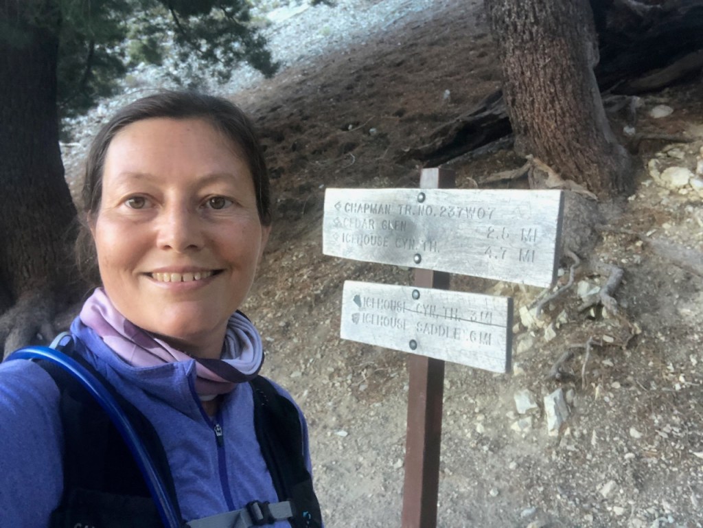
At the saddle, about 3.5 miles in, hikers are strewn out everywhere, on every log, or boulder. We sit atop a small log, and ate a few snacks. After about 15 minutes of rest, we hiked on.
I had read the trail to Cucamonga can be confusing from the saddle, and that you could easily miss the turn off. I was careful to take the trail to the right of the fork, proceeding onward to the peak.
The trail was behaving like a rollercoaster, with many ups and downs.
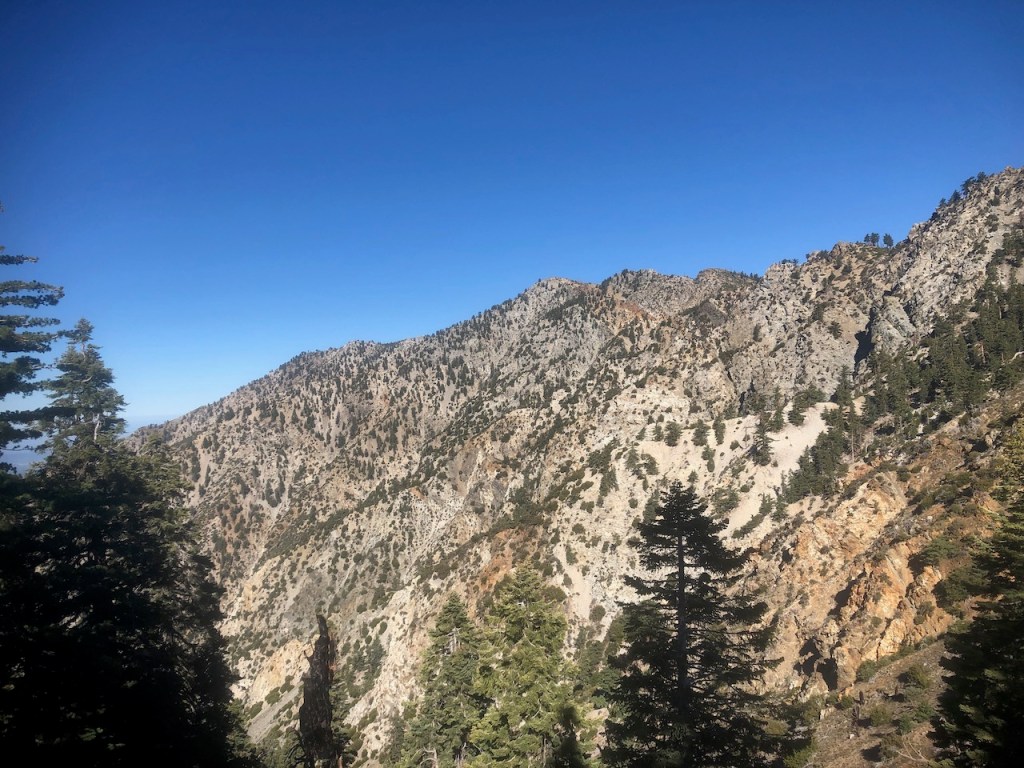
Eventually I passed by Bighorn Peak, and crossed another saddle, heading over to the left toward Cucamonga Peak.
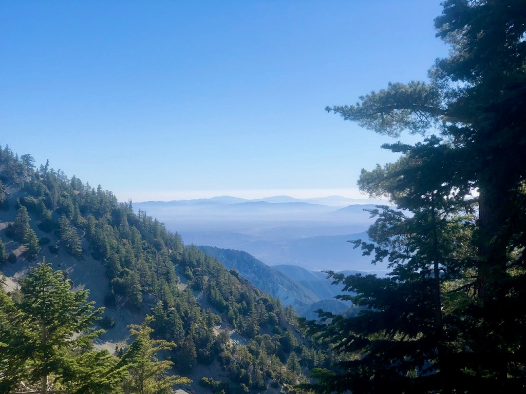
I got a better visual on where we were headed at this point, and could spot people walking about on Bighorn Peak. There appeared to be a steep trail you could take up to that peak from this saddle.
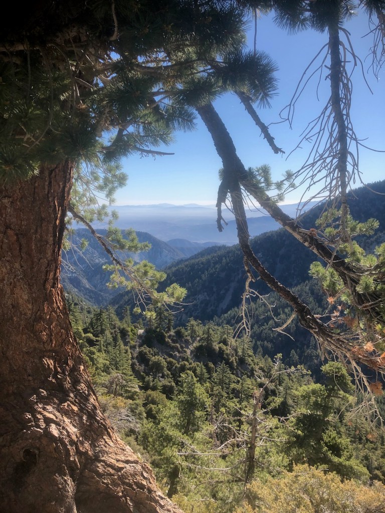
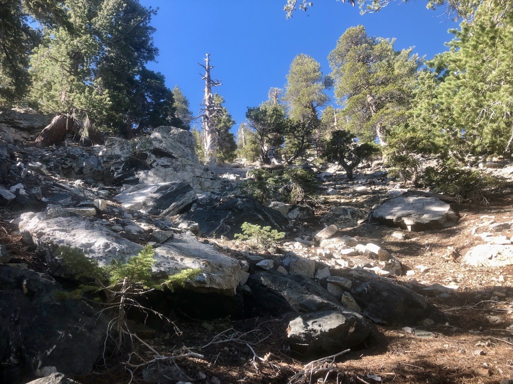
As I climbed higher, for the next 3 miles, I came to a series of switchbacks. It started to become very steep, and rocky, so I really needed to watch my step. This was where my trekking poles became essential.
A trail runner jogged by heading up the hill, as if the terrain was like a breeze to them.
We noticed people off trail in brightly colored gear. It was search and rescue looking for a woman who was lost on the mountain. We joined in calling out her name as we hiked. I learned later on that she was found. It was a reminder that the wilderness is vast area to be lost in, and to stick to the trail.
Cucamonga Peak, is dangerous to hike in the winter, due to the steep incline. Many people had died sliding down on the scree when it is covered in snow.
The switchbacks through the scree, was a very steep, and dynamic part of the climb, but we were glad we had finished that part, since it makes you a bit dizzy.

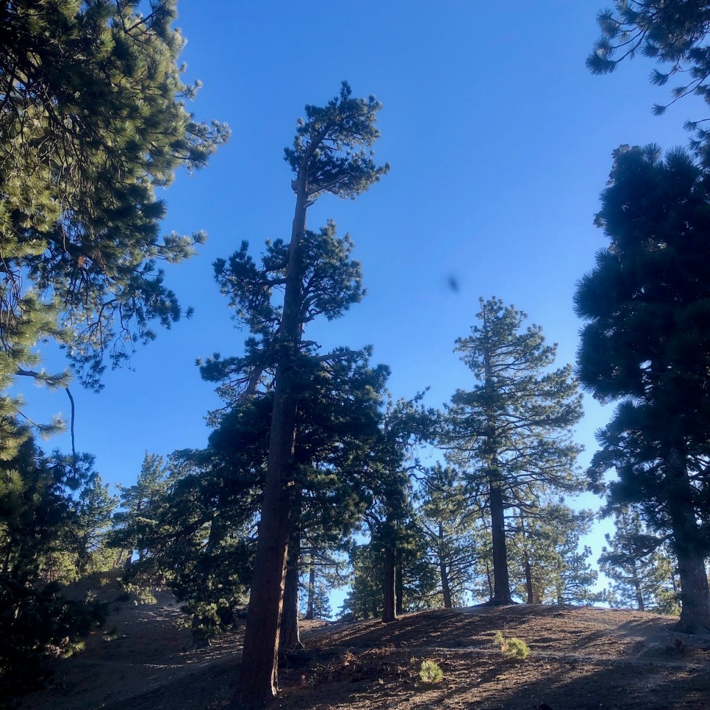
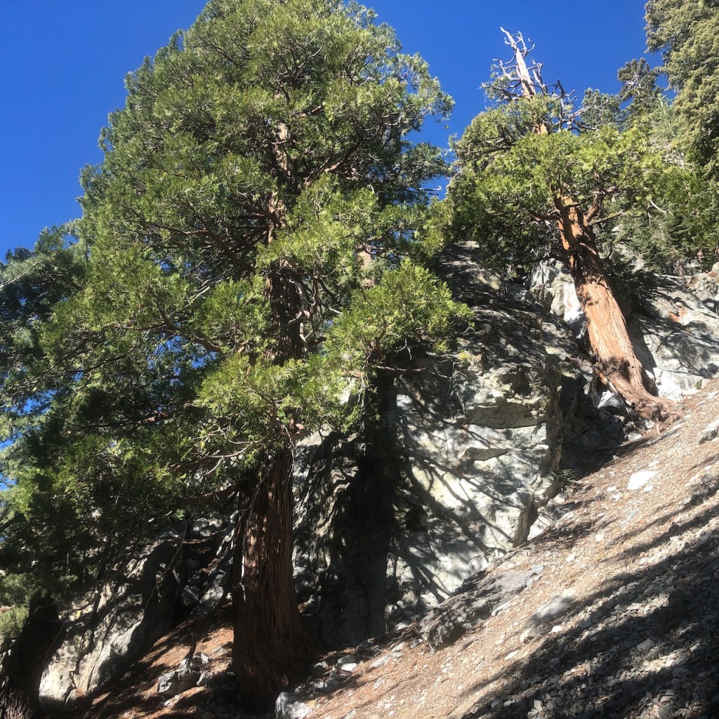
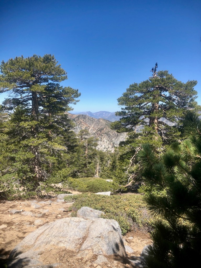
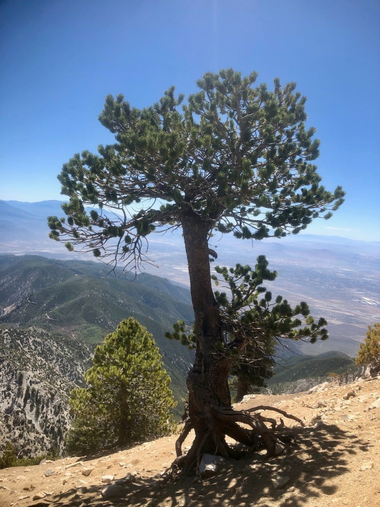
The trees at the top of Cucamonga started to get more interesting, and the views got better, the further I climbed.
Finally the peak came into view.
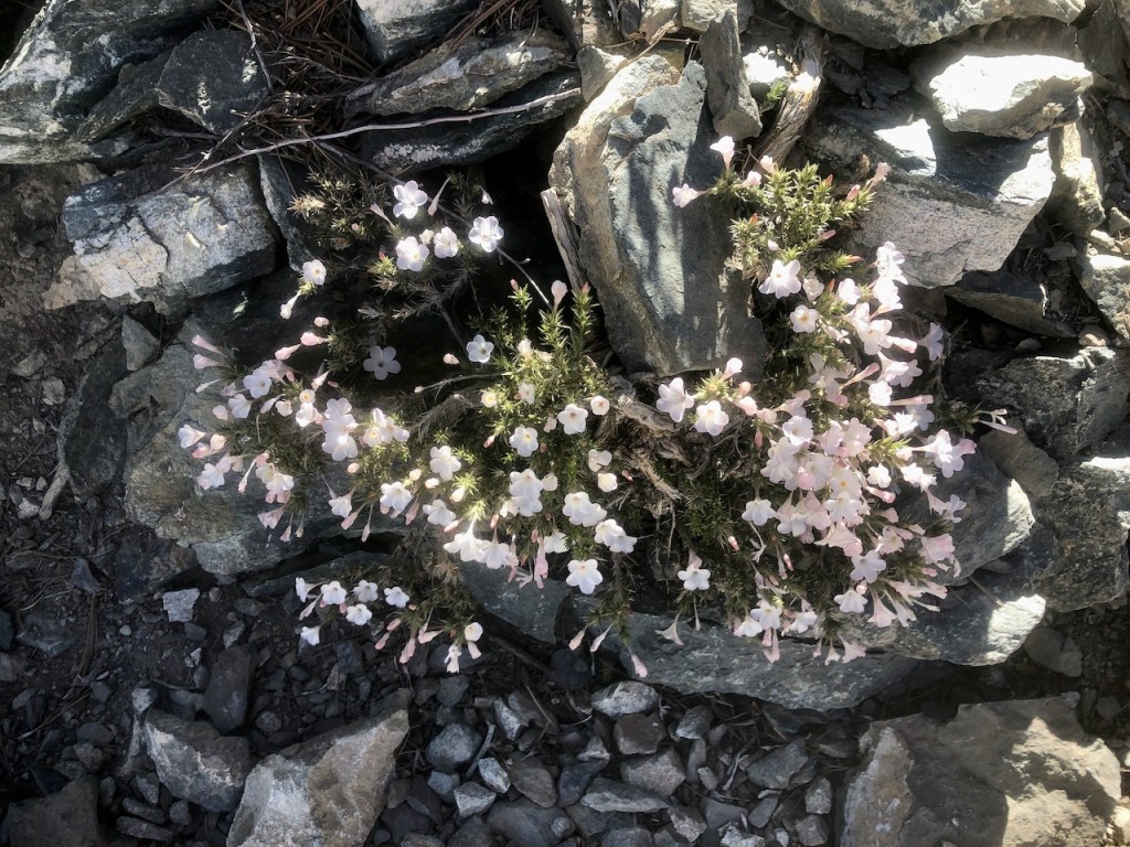
Some alpine flowers were growing between the rocks.
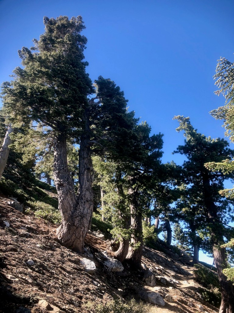
The trees at this altitude were also growing seemingly out of the rocky hillside, clinging on for dear life.
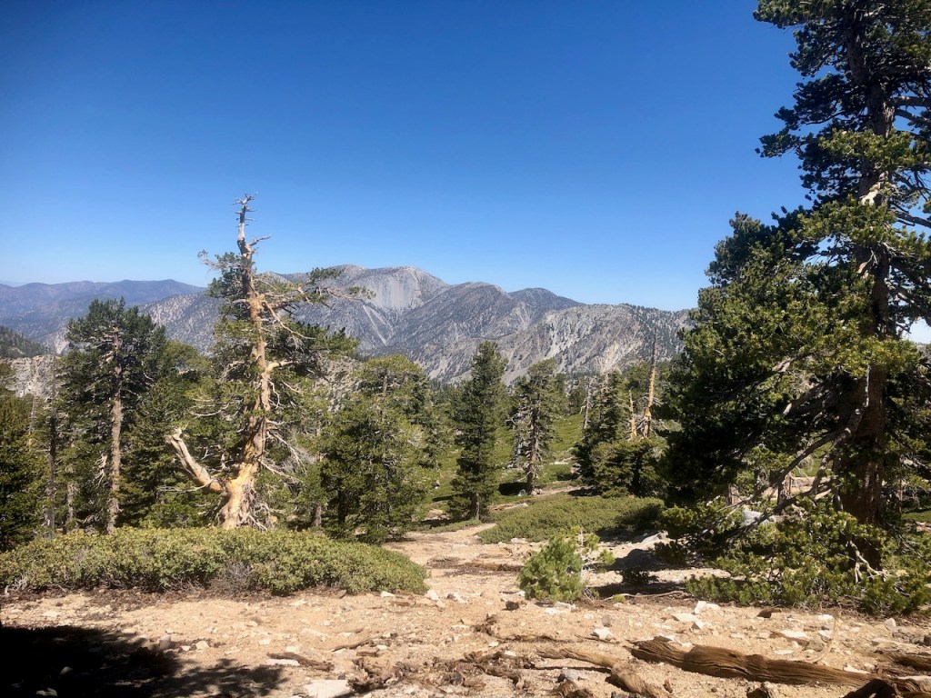
The mountain leveled out a bit as I neared the peak. There were lots of down trees, and logs strewn about amongst the rocky soil.
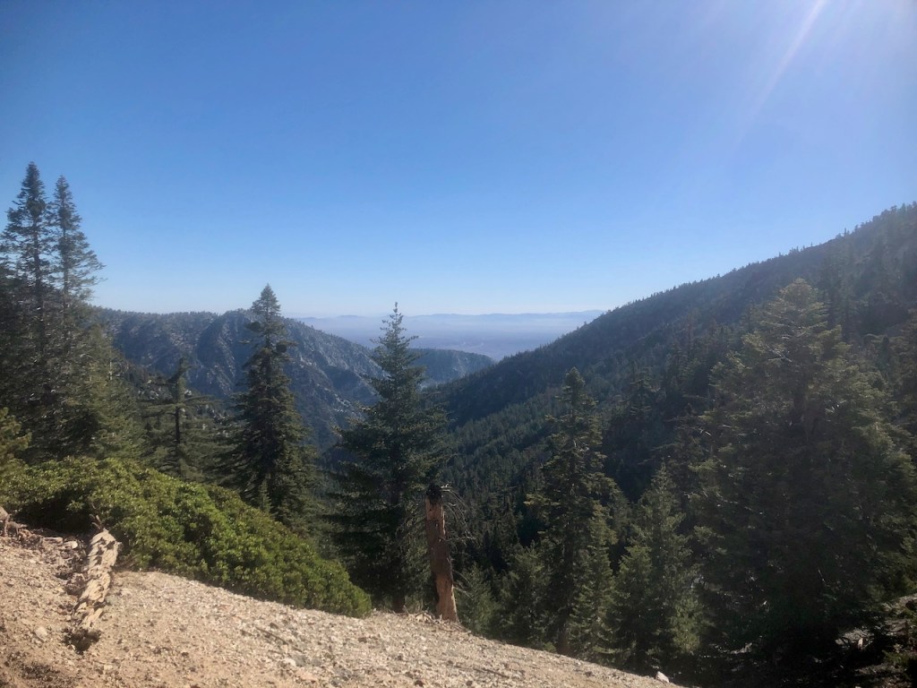
There was a forest at top, and plenty of room to spread out. From here, one could have hiked to Etiwanda Peak, if they were feeling ambitious.
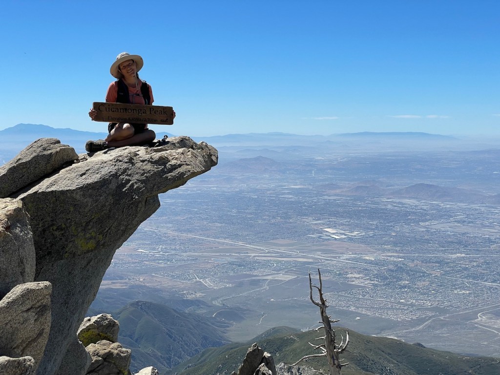
There is a famous rock that juts out, where you can take photos, with the sign.
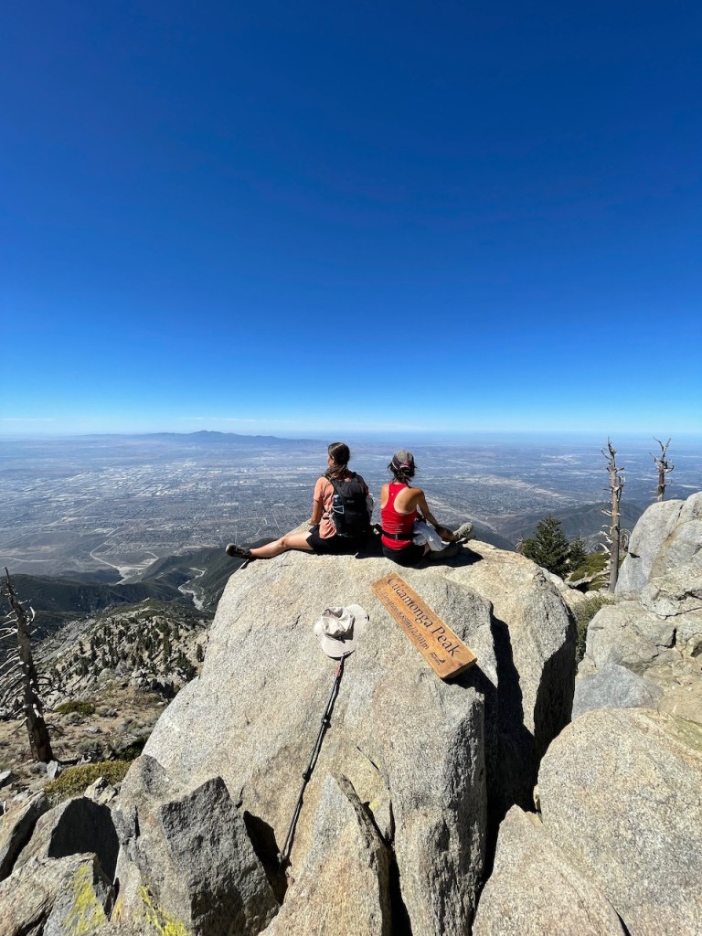
Being here, I really felt on top of the world.
After walking around and exploring Cucamonga Peak a bit, it was time to head back
It was time to say so long to the alpine forest, and head to Icehouse Canyon.
On the way back down into the canyon, it was quite hot out, in the upper 70’s.
We walked down the switchbacks in the broad sunlight, and eventually we made it back to the cool shaded forest canopy below.
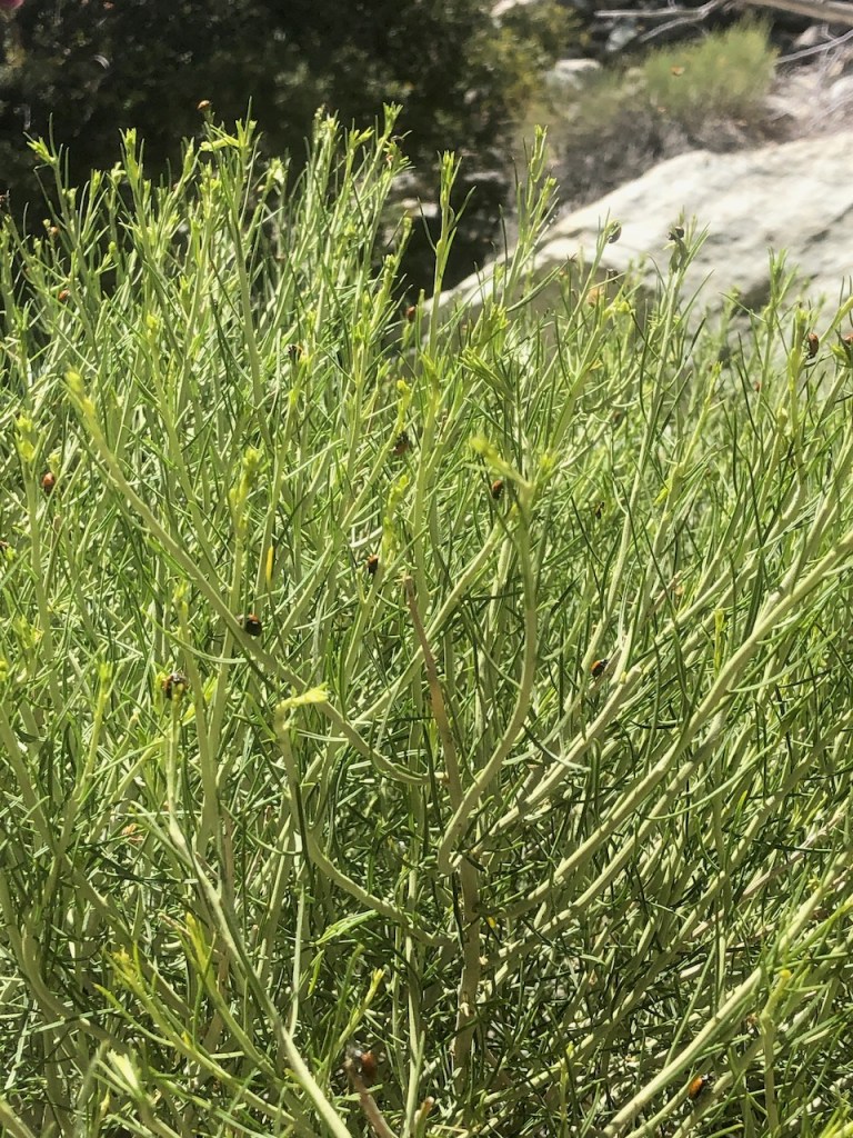
Suddenly we are surrounded by an enchanting cloud of ladybugs all around us. Something drew them here to these plants, just as we were drawn here today, to hike to Cucamonga Peak.
Conclusion
This was a hike I had really enjoyed. It was uphill most of the way, and steep at times. The views at the top of that peak made it all worth it.
It’s a 12.5 mile hike, with a gain of about 4000 feet, and one of the more strenuous hikes in the area.
The temperatures climbed considerably on the way down, into the upper 70’s. We hot and exhausted after 7.5 hours of hiking, including breaks. We arrived back at the parking area around 2:30pm. Then it would be a 1.5 hour drive back home.
Every peak is a little bit different in some way or another, in the terrain, the scenery, the steepness, and the ways you must prepare to make your hike successful. My hike went as planned, in part since I was prepared, and researched as best as I could beforehand. One thing is certain, it’s always better with friends.
I hope you get to enjoy hiking to Cucamonga Peak, and this was helpful in planning your journey, so you know what to expect.
Alternate Alpine Hikes
If you love alpine forests as much as I do, there are plenty of ways to enjoy them, without taking such a strenuous hike.
Inspiration Point is a great spot to access and hike along the PCT, enjoying the altitude without a long uphill slog, and very minimal gain.
Hiking just to Icehouse Saddle is be 3.5 miles, with over 2000 feet of gain in comparison.
Big Bear has lots of great high altitude hikes to try, such as the popular Castle Rock.
I hope you enjoyed reading this, and it is helpful in knowing what to expect, should you decide to visit here.
About me
I’m Serafina! I’m a writer and California girl who loves to go exploring. Hope you will get outside today, breathe some fresh air, and be happy!
Follow my Journey…
Be sure to Like and Subscribe to My Youtube Channel where I post videos!
Disclaimer: The work on this blog is my opinion and my opinion alone and I am not responsible for the outcome if someone were to apply these thoughts to their own life. All text and photography copyright 2023 by Serafina, all rights reserved. Information and opinions provided are kept current to the best of the author’s ability. All readers’ usage of the ideas and opinions presented in the blog, are at their own risk. Be aware of the possible dangers of hiking, surfing, walking, cooking, and other activities, which may take place indoors or outdoors. By reading this, you agree not to hold the author or publisher of the content on this web site responsible for any injuries or inconveniences that may result from reading the blog, or partaking in any activity mentioned in the blog. Read the blog, and use its ideas, if you so desire, at your own risk.
